
Search for another town

Free U.S. delivery 7 to 10 days after you order
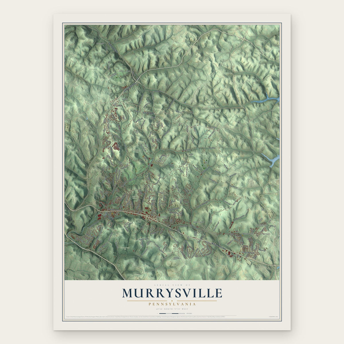
Murrysville, Pennsylvania Map Art
Building by building, with labeled streets and shaded relief.
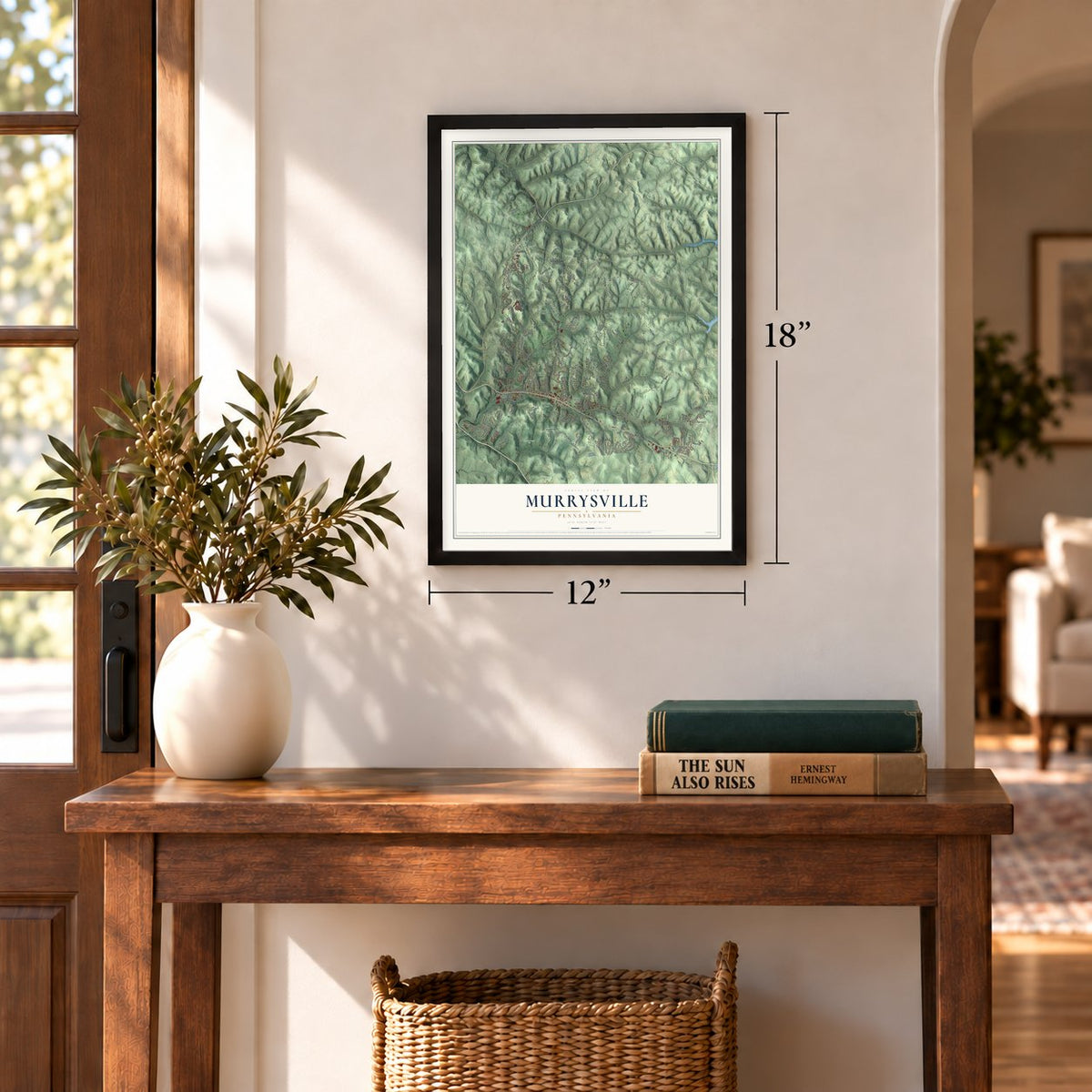
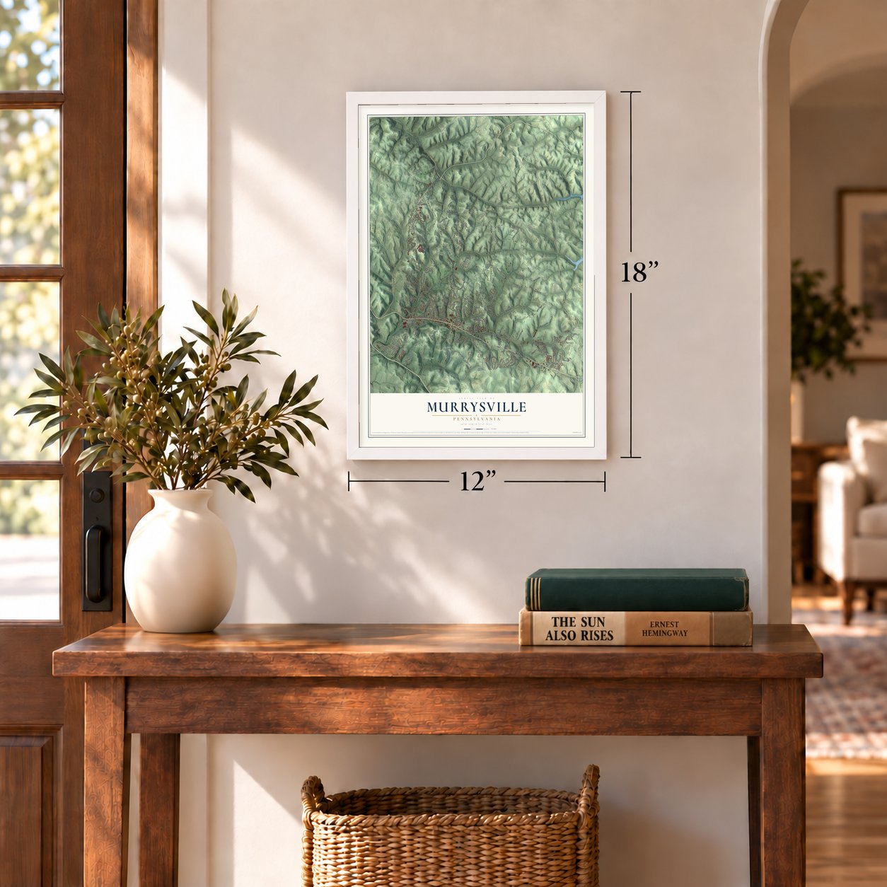
12" x 18" Archival Matte Print
A Map of Home. A Work of Art.
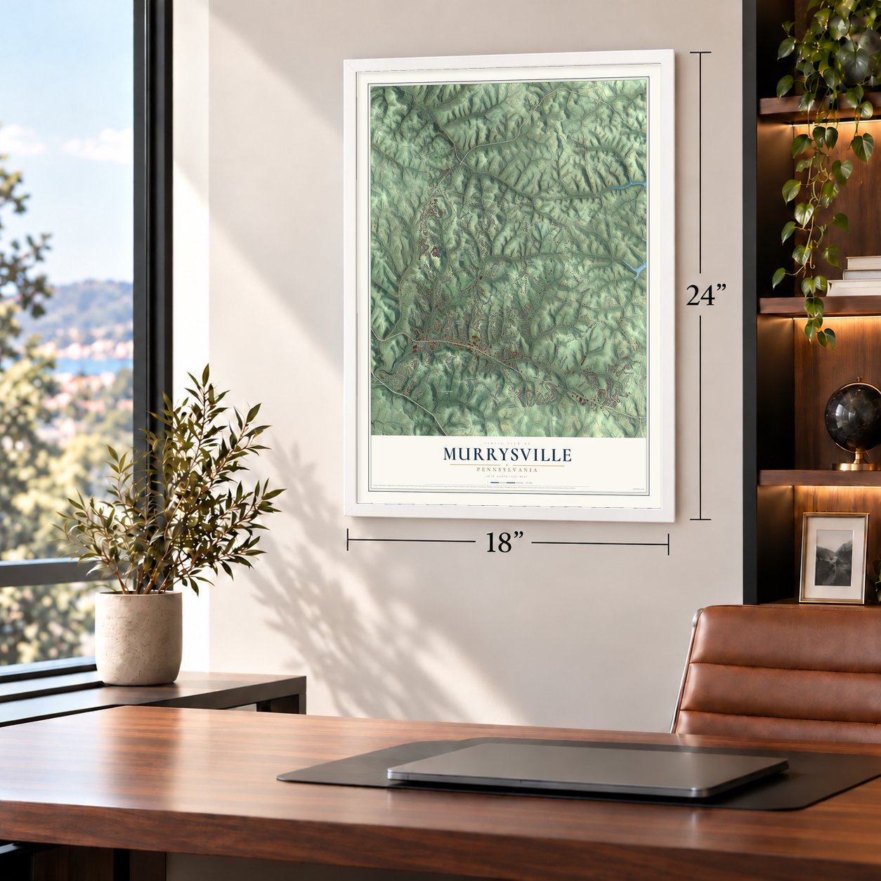
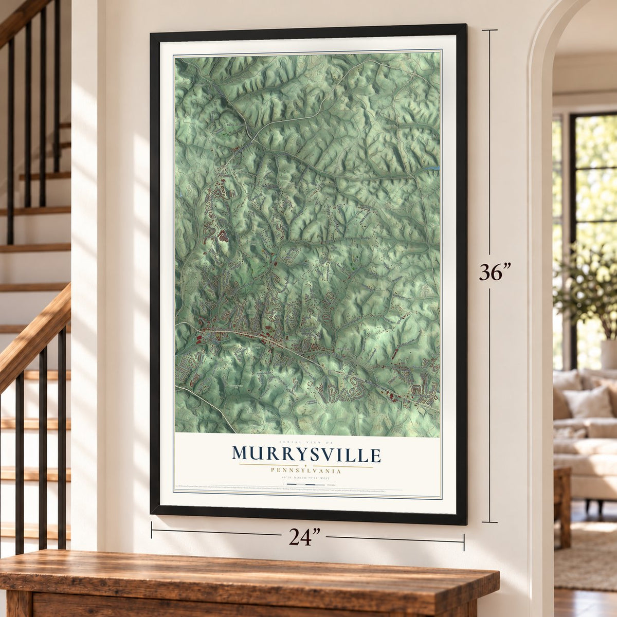
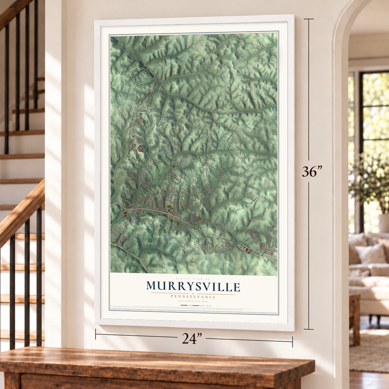
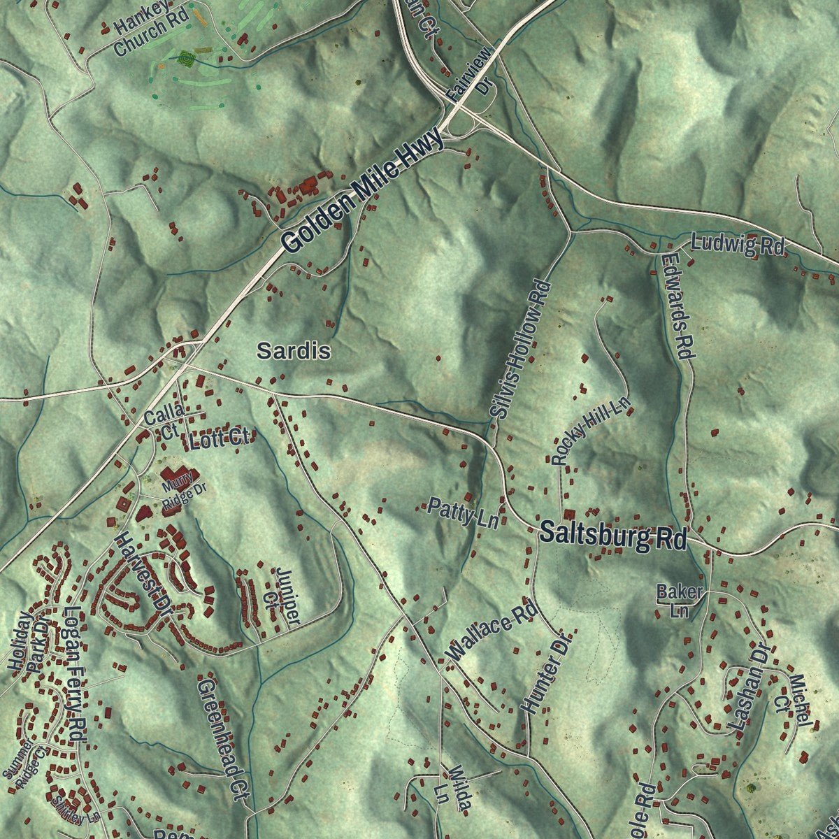
Explore Murrysville municipality, Pennsylvania from a whole new perspective. Created using aerial imagery and detailed geographic data, this map captures Murrysville municipality building by building, with labeled streets, familiar landmarks, and shaded topographical relief that highlights the natural contours of the landscape.
Combining modern data with the timeless character of a vintage atlas, this map is just as interesting up close as it is beautiful on the wall. Whether you grew up in Murrysville municipality, spent memorable years there, or call it home today, this unique map is a great way to celebrate a place that means something to you. Zoom in on the preview to look for your street, and then order a print to put your memories on the wall.

Three ways to hang it
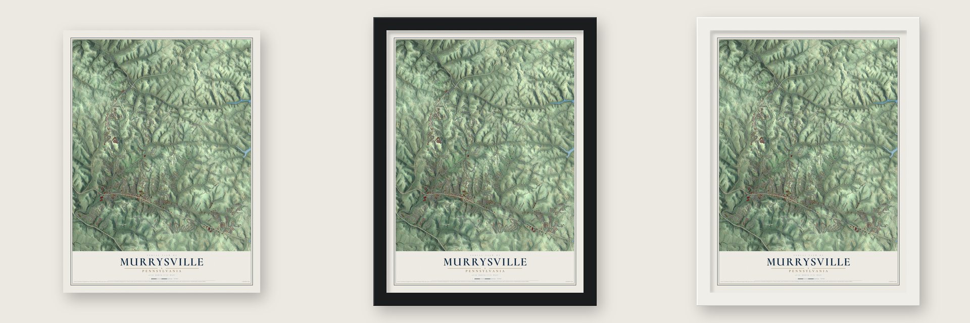
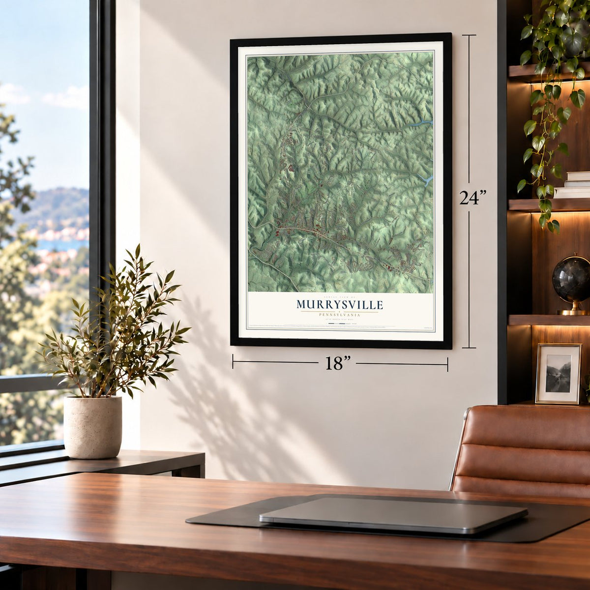
Unframed archival matte, a black wood frame or a white wood frame.
Up close
Geography Worth Displaying
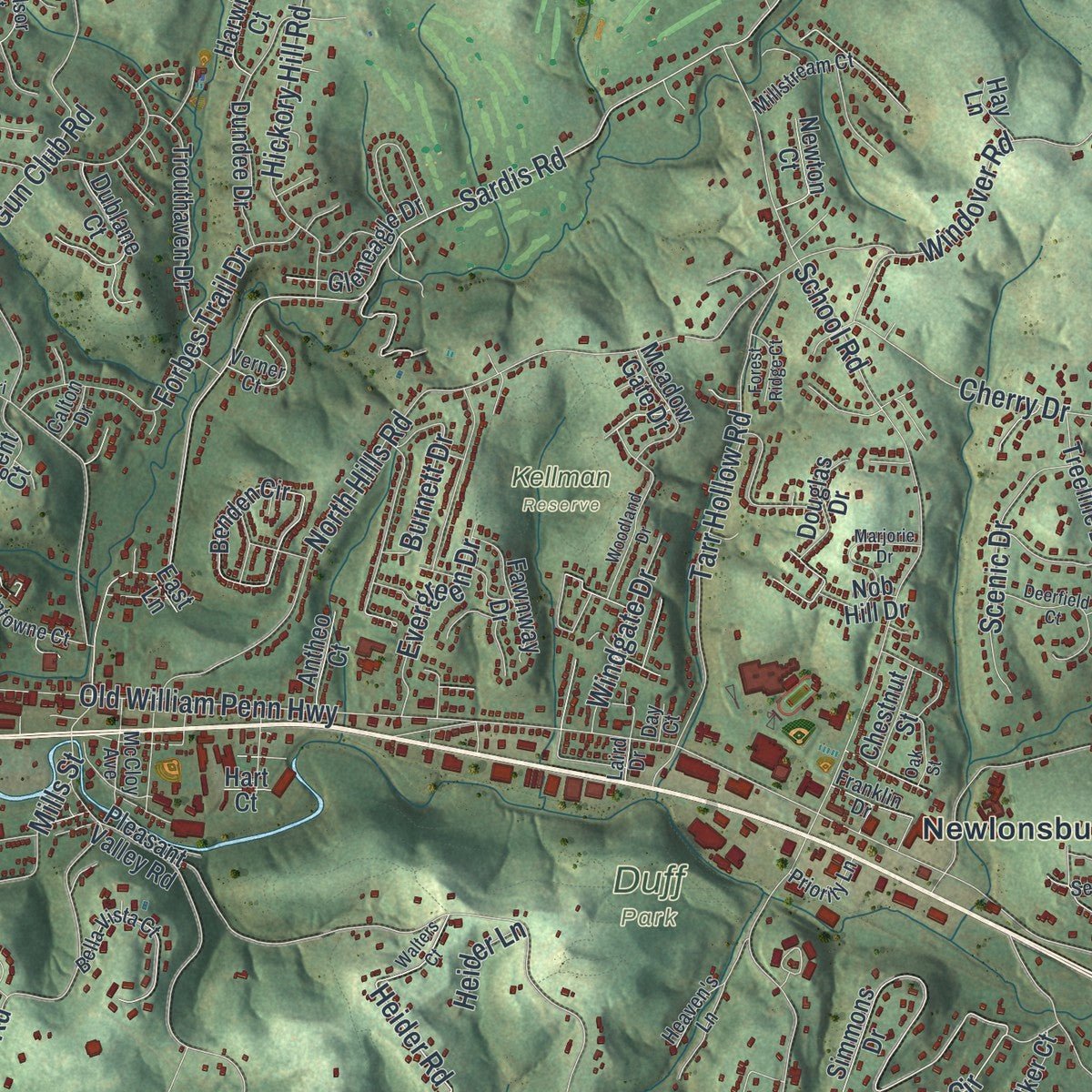
This map was created using accurate cartographic data and authoritative geographic sources, including the U.S. Geological Survey and the Census Bureau. The map brings together terrain, waterways, roads, and building detail. The majority of the streets are labeled, houses are accurately depicted, and the topography is derived from government sources. Combining local data with carefully composed color and shading leads to this beautifully detailed Murrysville artwork for your wall.
Rather than simply showing street outlines, we’ve included as many of the street names as we could reasonably fit on the map while keeping their names legible. Zoom in on the high resolution preview to see exactly what’s on the map. We truly set out to create a statement piece for anyone who loves Murrysville. So whether it’s for you, or a gift for someone you love, we hope this map of Murrysville brings back fond memories.
Read the story behind this map of Murrysville municipality, Pennsylvania from 2026.
Find your street
Names on the Murrysville map
Every name below is printed on this map. Look for your street, your school, the park where you played, or the pond down the road.
Places and landmarks14
- Dunningtown
- Ringertown
- Drennen
- Duff Park
- Kellman Reserve
- Pleasant Valley Park
- Townsend Park
- Camp Jo-Ann
- Franklin
- Newlonsburg
- Sardis
- West Export
Show all 14 places
- White Valley
- Wiester
Streets and roads221
- Saltsburg Road
- Golden Mile Highway
- William Penn Highway
- Greensburg Road
- Logan Ferry Road
- Delmont Manor Road
- Manor Road
- Wilson Street
- Harrison City Road
- Boyd Road
- Lincoln Avenue
- Old William Penn Highway
- Sardis Road
- Vincent Hall Drive
- Hills Church Road
- Hilty Road
- School Road South
- Mamont Road
- Bulltown Road
- Ashbaugh Road
- Italy Road
- Wiestertown Road
- North Hills Road
- Round Top Road
- School Road
- Meadowbrook Road
- Trafford Road
- Kemerer Hollow Road
- Twin Oaks Drive
- Simmons Circle
Show all 221 streets
- Lyons Run Road
- Cline Hollow Road
- Hickory Hill Road
- Borland Farm Road
- Beighley Road
- Bollinger Road
- Haymaker Farm Road
- Tarr Hollow Road
- Cherry Drive
- Gun Club Road
- Cole Road
- Harvest Drive
- Mayer Drive
- Windover Road
- Northlawn Circle
- Christy Road
- Mount Vernon Avenue
- Forbes Trail Drive
- Silvis Hollow Road
- Edwards Road
- Ludwig Road
- Hoy Farm Court
- Lexington Drive
- Laurel Oak Drive
- Steele Road
- Evans Road
- Wilson Road
- Lashan Drive
- Farm Road
- Saddle Pack Trail
- Peach Tree Court
- Utah Court
- Impala Drive
- Bel Aire Drive
- Wilcox Circle
- Scenic Drive
- Ridge Lane
- Heider Road
- Remaley Road
- Evergreen Drive
- Hunter Drive
- Kennedy Avenue
- Kemerer Road
- Burnett Drive
- Kellington Court
- Windgate Drive
- Jones Farm Road
- Jefferson Street
- Greenhead Court
- Graybrook Drive
- Manor Oaks Court
- Pin Oak Court
- McWilliams Road
- Brick Hill Road
- Sinan Drive
- Sands Lane
- Sampson Lane
- Plan Court
- Lindsey Lane
- Wyant Circle
- Lyons Tail Drive
- Wallace Road
- Mills Street
- Maiolie Road
- Burt Road
- Noca Court
- Patty Lane
- Heider Lane
- Lott Court
- Pleasant Valley Road
- Simmons Drive
- Hankey Church Road
- Crowfoot Road
- Sinan Farm Drive
- Lake Ridge Drive
- Hoy Farm Road
- Rocky Hill Lane
- Laurel Oak Circle
- Benden Circle
- Monroe Court
- Berkshire Drive
- Wilcox Road
- Oak Hurst Court
- Bryer Ridge Court
- Treeline Drive
- Field Stream Drive
- Dundee Drive
- Trouthaven Drive
- Berlin Farm Road
- Cline Court
- Manor Vue Court
- Dublane Court
- Trefoil Drive
- Claridge Road
- Staymates Court
- Holiday Park Drive
- General Forbes Road
- Fawnway Drive
- Casta Lina Court
- Gleneagle Drive
- Michel Court
- Hilltop Drive
- Meadow Gate Drive
- Carousel Drive
- Delaware Street
- Sandune Drive
- Regent Court
- Douglas Drive
- Deer Valley Lane
- Elizabeth Court
- McElroy Drive
- Oregon Street
- Newton Court
- Kistler Road
- Walker Court
- Harwick Court
- Eagles Lane
- Chestnut Street
- Antheo Court
- Beulah Lane
- Parkview Court
- Fair Oaks Drive
- Nob Hill Drive
- Baker Lane
- Juniper Court
- Calla Court
- Valley View Court
- Wesco Lane
- Hay Lane
- Wilda Lane
- Hart Court
- East Lane
- Wheatland Circle
- Buena Vista Drive
- Woodmont Drive
- Twelve Oaks Court
- Bella Vista Court
- Carriage Circle
- Franklintowne Court
- Hunt Club Court
- Morosini Farm Court
- McCloy Avenue
- Sequoia Court
- Franklin Drive
- Kentucky Street
- Spring View Court
- Windsor Court
- Millstream Court
- Verner Court
- Hermar Court
- Priority Lane
- Heaven's Lane
- Cubs Den Lane
- Calton Drive
- Hope Court
- Daisy Lane
- Hall Court
- Laird Drive
- Day Court
- Fairview Drive
- Sunset Circle
- Walters Court
- Bridgewood Circle
- Woodland Drive
- Deerfield Court
- Fontana Court
- Bloomsbury Court
- Silvis Road
- Marjorie Drive
- Corporate Lane
- Summer Ridge Court
- Puckety Drive
- Boxcartown Road
- Kohosek Court
- Ketchy Court
- Orchard Court
- Oak Street
- Murry Ridge Drive
- Forest Ridge Court
- Reindeer Lane
- Cozy Inn Cutoff
- Shirley Lane
- Oak Hill Court
- Timothy Drive
- Blue Sage Court
- Shangri la Drive
- Ralph Lane
- Artman Lane
- Humes Road
- Lasher Court
- Crest Lane
Names are listed as they appear on the printed map. Zoom into the product photos to find them.
About Murrysville municipality, Pennsylvania
Murrysville municipality is a Westmoreland County community with 21,006 residents recorded in the 2020 census. Local history features an exceptionally productive gas well drilled in 1878.
- Westmoreland County CommunityMurrysville municipality is located in Westmoreland County, Pennsylvania.
- 2020 PopulationThe Census Bureau recorded 21,006 residents in Murrysville municipality in 2020.
- Landmark Gas WellThe county's first gas well was drilled in 1878, caught fire in 1881, burned for years, and was later controlled and piped to Pittsburgh.
Keep exploring Pennsylvania
Murrysville is one of 3,725 Pennsylvania towns we've mapped. Every dot on the map is a print of its own.
The search covers every state, Pennsylvania first.
Near Murrysville
Order 2 or more town maps and save 10%. Shown in the size and finish you picked above, so they hang as a set.
- Export 12" x 18" / Archival Matte Print $39.99
- Penn Township 12" x 18" / Archival Matte Print $39.99
- Delmont 12" x 18" / Archival Matte Print $39.99
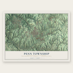
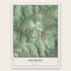
More maps nearby: Level Green, McCullough, Monroeville, Washington and Harrison City.
The art of mapping a place
How This Map Was Made
Real places. Remarkable detail. Discover the layers that turn geographic data into a map of home.

The view from above
Aerial imagery reveals the character of the land: woodland, open fields, and the patterns of a place.

The shape of the land
Elevation data brings hills, valleys, and subtle changes in the landscape into view.

The details of home
Roads, waterways, and building footprints come together to make the map feel unmistakably local.

Geography becomes art
Considered color, shading, and typography bring the layers together in a map made for your wall.


Process illustrated with Mendon, Massachusetts. Aerial imagery: USDA NAIP. Terrain: USGS 3D Elevation Program. Map details and finished artwork: KNOWOL.
The Details
About This Print
Choose an archival matte print, or a black or white Ayous wood frame. The archival matte print is unframed.
Select your size and finish above to see the matching product image and price.
Materials & Craftsmanship
A contemporary map with the character of a classic atlas, printed on archival matte paper. Optional frames are made from Ayous wood.
Your printed map does not include the watermark shown in the full-map preview.
Shipping & Delivery
Free shipping within the United States. Every print is made to order in the USA.
Buying a gift? Add a note in your cart and we'll include it. We never put prices in the package.
Prints ship within 2 to 3 business days. Allow 7 to 10 days total from ordering for delivery. Timing may vary during holidays or periods of high order volume.
Read our shipping policy.
Returns and damaged prints
Each print is made to order. Change-of-mind refunds are not available after production.
If your print arrives damaged, misprinted or incorrect, contact support@knowol.com within 30 days of receiving it. Include your order number, photos and a description of the issue.
Read our full refund and replacement policy. For questions about your order, email support@knowol.com.