


Search for another town



Free U.S. delivery 7 to 10 days after you order
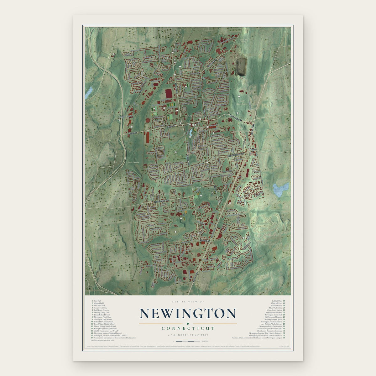
Newington, Connecticut Map Art
Building by building, with labeled streets and shaded relief.
12" x 18" Archival Matte Print
A Map of Home. A Work of Art.
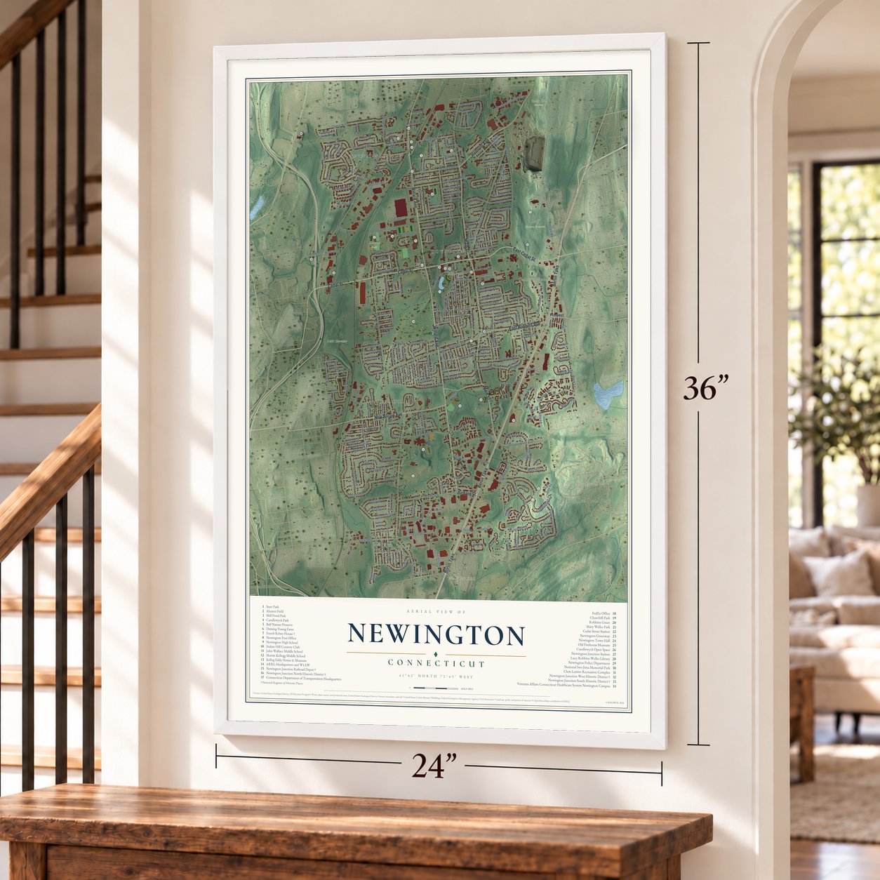
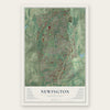
Explore Newington, Connecticut from a whole new perspective. Created using aerial imagery and detailed geographic data, this map captures Newington building by building, with labeled streets, familiar landmarks, and shaded topographical relief that highlights the natural contours of the landscape.
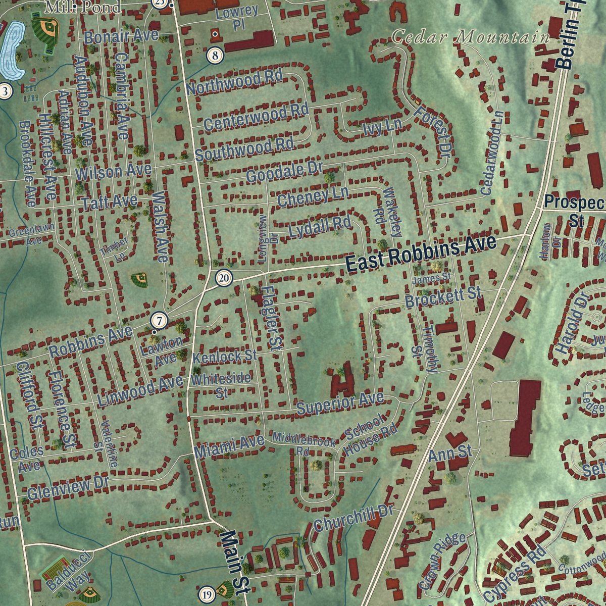
Combining modern data with the timeless character of a vintage atlas, this map is just as interesting up close as it is beautiful on the wall. Whether you grew up in Newington, spent memorable years there, or call it home today, this unique map is a great way to celebrate a place that means something to you. Zoom in on the preview to look for your street, and then order a print to put your memories on the wall.

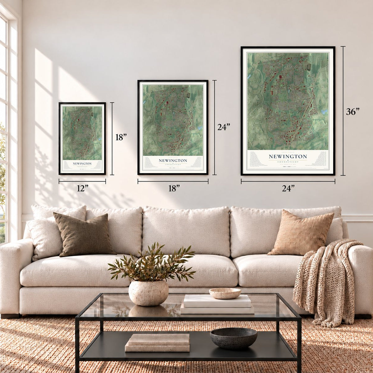
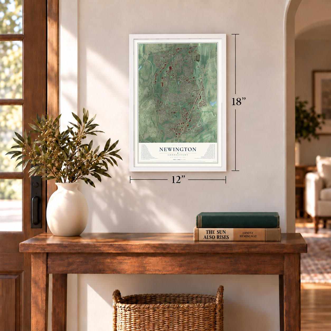
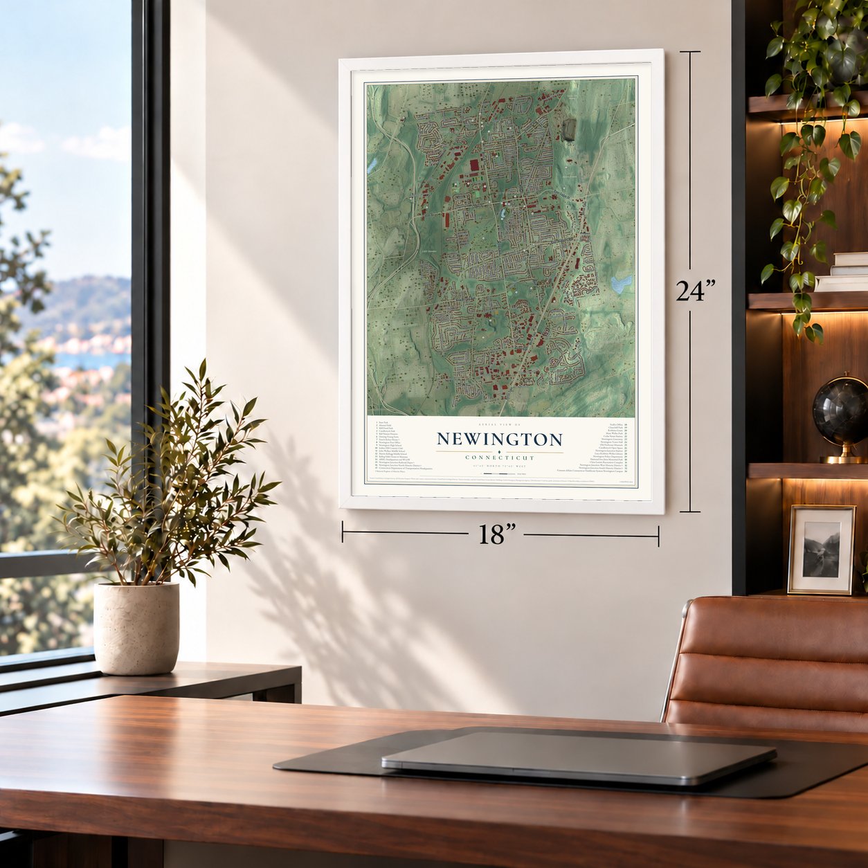
Three ways to hang it
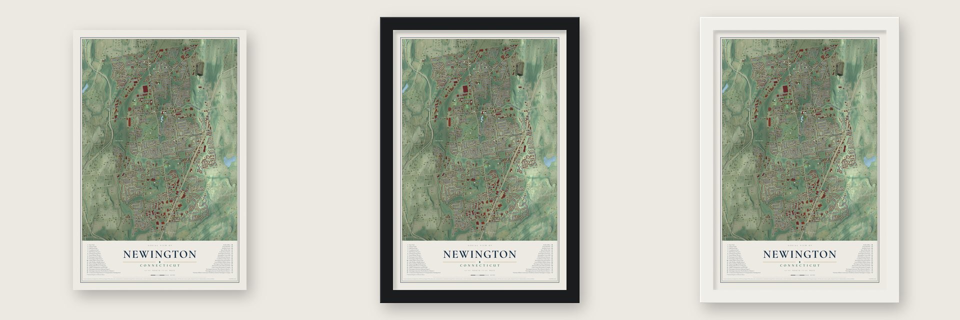
Unframed archival matte, a black wood frame or a white wood frame.
Up close
Geography Worth Displaying
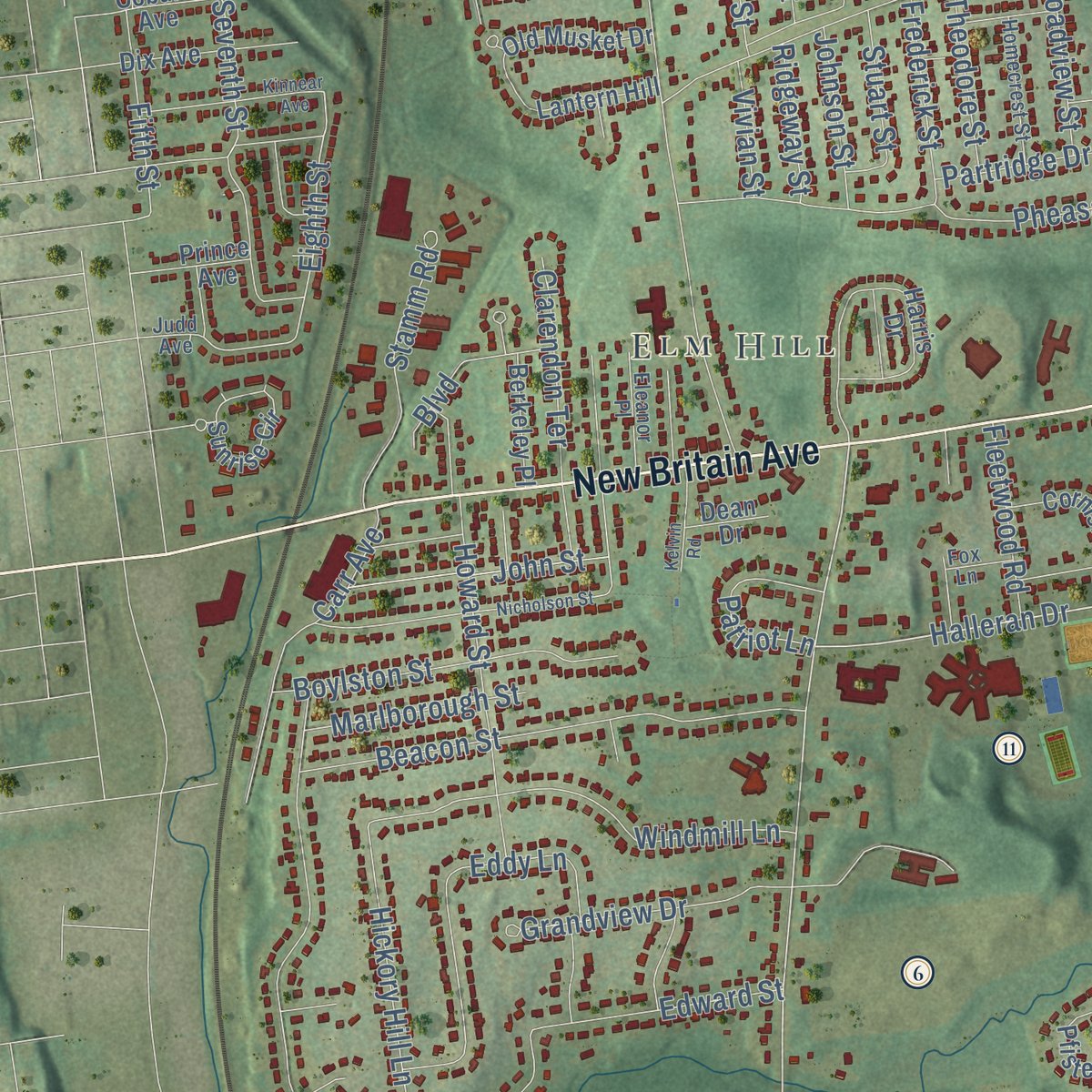
This map was created using accurate cartographic data and authoritative geographic sources, including the U.S. Geological Survey (USGS) and FEMA. The map brings together terrain, waterways, roads, and building detail. The majority of the streets are labeled, houses are accurately depicted, and the topography is derived from government sources. Combining local data with carefully composed color and shading leads to this beautifully detailed Newington artwork for your wall.
Rather than simply showing street outlines, we’ve included as many of the street names as we could reasonably fit on the map while keeping their names legible. Zoom in on the high resolution preview to see exactly what’s on the map. We truly set out to create a statement piece for anyone who loves Newington. So whether it’s for you, or a gift for someone you love, we hope this map of Newington brings back fond memories.
Explore the full map of Newington, Connecticut and read about the local places it shows.
Find your street
Names on the Newington map
Every name below is printed on this map. Look for your street, your school, the park where you played, or the pond down the road.
Places and landmarks12
- Downtown
- Newington Junction
- Elm Hill
- Cedar Mountain
- Vexation Hill
- Wolf Pit Hill
- Mill Pond
- Twenty Rod Road Park
- Alumni Field
- Balf Nature Preserve
- Cedar Hill Cemetery
- I-291 Corridor
Streets and roads300
- Willard Avenue
- Cedar Street
- East Cedar Street
- Berlin Turnpike
- Main Street
- Richard Street
- Hartford Avenue
- New Britain Avenue
- East Robbins Avenue
- Russell Road
- Harding Avenue
- Foxboro Drive
- Halleran Drive
- Fenn Road
- Robbins Avenue
- Culver Street
- Church Street
- Maselli Road
- Deming Street
- Waverly Drive
- Back Lane
- Eighth Street
- West Hartford Road
- Kitts Lane
- Mountain Road
- Maple Hill Avenue
- Alumni Road
- Connecticut Avenue
- Tremont Street
- Candlewyck Drive
Show all 300 streets
- Lamplighter Lane
- Cherry Hill Drive
- Walsh Avenue
- Audubon Avenue
- Pane Road
- Reservoir Road
- Old Farm Drive
- Goodale Drive
- Superior Avenue
- Beacon Street
- North Mountain Road
- Webster Street
- Griswoldville Avenue
- Francis Avenue
- Kimberley Road
- Pepper Bush Lane
- Day Street
- Hickory Hill Lane
- Pheasant Run
- Camp Avenue
- Eddy Lane
- Eagle Drive
- Kelsey Street
- Stoddard Avenue
- Brentwood Road
- Miami Avenue
- Little Brook Drive
- Hillcrest Avenue
- Brockett Street
- Wilson Avenue
- Louis Street
- Churchill Drive
- Dowd Street
- Orchard Avenue
- Brookside Road
- Starr Avenue
- Indian Hill Road
- Stonehedge Drive
- Howard Street
- Knollwood Road
- Fisk Drive
- Meadow Street
- Cypress Road
- Sterling Drive
- Seventh Street
- Cambria Avenue
- Boylston Street
- Lloyd Street
- Glenview Drive
- Carr Avenue
- Rockwell Road
- Milk Lane
- Cheney Lane
- Barn Hill Lane
- Windmill Lane
- Clarendon Terrace
- Barnard Drive
- Centerwood Road
- Vineyard Avenue
- Roseleah Avenue
- Stage Coach Lane
- Jeffrey Lane
- Linwood Avenue
- Field Street
- Revere Drive
- Winslow Drive
- Stamm Road
- Grandview Drive
- Holmes Road
- Northwood Road
- Edward Street
- Thornton Drive
- Garfield
- Southwood Road
- Barkledge Drive
- John Street
- Ellsworth Street
- Michael Lane
- Flagler Street
- Mountain View Drive
- Faith Road
- Styles Avenue
- Lydall Road
- Saddle Hill Road
- Vincent Drive
- Taft Avenue
- Augusta Drive
- Foster Street
- Marlborough Street
- Partridge Drive
- Patriot Lane
- Sunset Road
- Pickens Drive
- Liberty Street
- Oak Street
- Edmund Street
- Rockledge Drive
- Broadview Street
- Frederick Street
- Brace Road
- Fifth Street
- Whitewood Road
- Juniper Street
- Veterans Drive
- Moreland Avenue
- Apple Hill
- Fleetwood Road
- Theodore Street
- Stuart Street
- Boulevard
- Harold Drive
- Dalewood Road
- Ivy Lane
- Woodsedge Drive
- Stanwell Road
- Forest Drive
- Johnson Street
- Florence Street
- Coolidge Avenue
- Bonair Avenue
- Adam Drive
- Clifford Street
- Settler Knl
- Woodland Street
- Stafford Avenue
- Sequin Street
- Elton Drive
- Market Square
- Walnut Street
- Brook Street
- Ridgeway Street
- Allston Road
- Costello Drive
- Christian Lane
- Francis Drive
- Golf Street
- Avery Road
- Vivian Street
- Pine Street
- Holly Drive
- Ann Street
- Hall Street
- Prospect Street
- Lowrey Place
- Ellagrasso Road
- School House Road
- Carriage Hill Drive
- Harris Drive
- Cedarwood Lane
- Crown Ridge
- Pfister Drive
- Cedar Ridge Road
- Pascone Place
- Chestnut Road
- Long Street
- Adrian Avenue
- Ridgeview Crossing
- Webster Court
- Timothy Street
- West Hill Road
- Old Musket Drive
- Gilbert Road
- Summit Street
- High Gate Road
- Sunrise Circle
- Pebble Drive
- Kenlock Street
- Cortland Way
- Rosewood Drive
- Woodmere Road
- King Arthur Way
- Dix Avenue
- Commonwealth Avenue
- Coles Avenue
- Highland Street
- Magnolia Street
- Memorial Road
- Piper Brook Avenue
- Shady Hill Lane
- Brookdale Avenue
- High Ridge Drive
- Cornish Drive
- Dover Road
- Arrowhead Drive
- Atwood Street
- Tunxis Road
- Butternut Lane
- Sleepy Hollow Road
- Puritan Lane
- Amidon Avenue
- Berkeley Place
- Lantern Hill
- Judge Lane
- Hemlock Street
- Dewey Avenue
- Whiteside Street
- Wakeley Road
- Costello Road
- Kirkham Street
- Moylan Court
- Bridle Path
- Cinnamon Road
- Raynel Road
- Coburn Avenue
- Balducci Way
- Shepard Drive
- Nathan Hale Drive
- Prince Avenue
- Lawton Avenue
- Dean Drive
- Hall Court
- Spring Street
- Eckert Road
- Neil Drive
- Griswold Hills Drive
- Wilbur Drive
- Groveland Terrace
- Ledgecrest Drive
- Valentine Street
- Harvest Court
- Longview Drive
- Dacosta Drive
- Deepwood Drive
- Homecrest Street
- Buck Street
- Middlebrook Road
- Tom Lin Road
- Woodbridge Road
- Henry Avenue
- Ponderosa Lane
- Faith Court
- Sunnyside Road
- Coronado Drive
- Eleanor Place
- Fox Run Court
- Briarwood Road
- Millbrook Court
- Green Avenue
- Holland Drive
- Salem Drive
- Burdon Lane
- Hollow Tree Lane
- Progress Circle
- Miles Avenue
- Willow Lane
- Fox Lane
- Harlow Drive
- Hartt Lane
- Judd Avenue
- Cottonwood Road
- Veterans Circle
- Nicholson Street
- Crestview Drive
- Kinnear Avenue
- Bayberry Road
- Cambridge Drive
- Ralph Avenue
- Welles Drive North
- Quincy Lane
- Hopkins Drive
- Greenlawn Avenue
- Monroe Way
- Oxford Drive
- Kelvin Road
- Trotter Lane
- Timber Lane
- Deer Path
- Valley View Drive
- James Street
- Center Court
Names are listed as they appear on the printed map. Zoom into the product photos to find them.
About Newington, Connecticut
Newington is a town of 30,536 people in Hartford County, on the southern edge of Hartford. For about 150 years it was the western farm country of Wethersfield, a valley west of Cedar Mountain that settlers called Pipe-stave Swamp for the barrel staves they split there and Cow Plain for its grazing land. In 1677 Wethersfield offered four men twenty acres apiece to build a sawmill, and by 1680 the mill at the foot of the pond was running.
A Wethersfield town meeting allowed the western farmers a parish of their own in 1712, and in 1721 the General Assembly named it Newington. Town business still meant a trip over Cedar Mountain. When Wethersfield would not spend money improving the roads that led to the railroad, the parish asked to split off. The act passed with no vote against it, and on July 10, 1871, Governor Jewell signed it. The new town had 871 people and about 130 farms.
“Nearly every house is still a home, and the oldest dwelling in Newington still shelters family life, as it has for almost two hundred years.”
- The minister Yale tookThe parish organized its church on October 3, 1722, with Rev. Elisha Williams as minister. The Yale trustees chose him as rector in 1725, and he left for the college in 1726. The colony paid Newington 100 pounds for its loss and excused the parish from country taxes for several years. Rev. Joab Brace later preached for fifty years, from January 16, 1805, to January 16, 1855, as membership rose from fifty-one to one hundred and seventy.
- The man who named the townThe Willard family held land here from 1670, and the Willard Homestead, a central-chimney house, went up on it about 1730. Josiah Willard grew up in the house, served as Newington's first parish clerk and is credited with choosing the town's name. The homestead joined the National Register in 1986.
- A house rolled to safetyEnoch Kelsey, a farmer and tinsmith, and his son David built the house around 1799, close to the New Britain line. A highway project was about to claim it in 1979 when Newington Historical Society volunteers discovered rare freehand painting on its walls. They raised money to rescue it, and over November 15 and 16, 1979, the house traveled to Main Street. It opened as a museum and joined the National Register in 1982.
- W1AW, dedicated in 1938In 1914 Hiram Percy Maxim of West Hartford pressed the Radio Club of Hartford to bring amateur operators together, and their league spread across the country. Maxim died in 1936, and the league honored him with a memorial station carrying his old call sign, W1AW, on farmland the league bought from Elsie Starr. The station's dedication came on September 2, 1938, and the league put up its headquarters next to it in 1963.
- Mill Pond FallsThe 16-foot falls at Mill Pond take their name from a sawmill built there in 1860, and they appear on the town seal. They are billed as the country's smallest natural waterfall. A footbridge carries the walking path over them, and every September since 2000 the town has held its Waterfall Festival in their honor.
Keep exploring Connecticut
Newington is one of 382 Connecticut towns we've mapped. Every dot on the map is a print of its own.
The search covers every state, Connecticut first.
Near Newington
Order 2 or more town maps and save 10%. Shown in the size and finish you picked above, so they hang as a set.
- New Britain 12" x 18" / Archival Matte Print $39.99
- Wethersfield 12" x 18" / Archival Matte Print $39.99
- Rocky Hill 12" x 18" / Archival Matte Print $39.99


More maps nearby: Kensington, Parkville, Frog Hollow, South Green and West Hartford.
The art of mapping a place
How This Map Was Made
Real places. Remarkable detail. Discover the layers that turn geographic data into a map of home.

The view from above
Aerial imagery reveals the character of the land: woodland, open fields, and the patterns of a place.

The shape of the land
Elevation data brings hills, valleys, and subtle changes in the landscape into view.

The details of home
Roads, waterways, and building footprints come together to make the map feel unmistakably local.

Geography becomes art
Considered color, shading, and typography bring the layers together in a map made for your wall.


Process illustrated with Mendon, Massachusetts. Aerial imagery: USDA NAIP. Terrain: USGS 3D Elevation Program. Map details and finished artwork: KNOWOL.
The Details
About This Print
Choose an archival matte print, or a black or white Ayous wood frame. The archival matte print is unframed.
Select your size and finish above to see the matching product image and price.
Materials & Craftsmanship
A contemporary map with the character of a classic atlas, printed on archival matte paper. Optional frames are made from Ayous wood.
Your printed map does not include the watermark shown in the full-map preview.
Shipping & Delivery
Free shipping within the United States. Every print is made to order in the USA.
Buying a gift? Add a note in your cart and we'll include it. We never put prices in the package.
Prints ship within 2 to 3 business days. Allow 7 to 10 days total from ordering for delivery. Timing may vary during holidays or periods of high order volume.
Read our shipping policy.
Returns and damaged prints
Each print is made to order. Change-of-mind refunds are not available after production.
If your print arrives damaged, misprinted or incorrect, contact support@knowol.com within 30 days of receiving it. Include your order number, photos and a description of the issue.
Read our full refund and replacement policy. For questions about your order, email support@knowol.com.