


Search for another town





Free U.S. delivery 7 to 10 days after you order
Nutley, New Jersey Map Art
Building by building, with labeled streets and shaded relief.
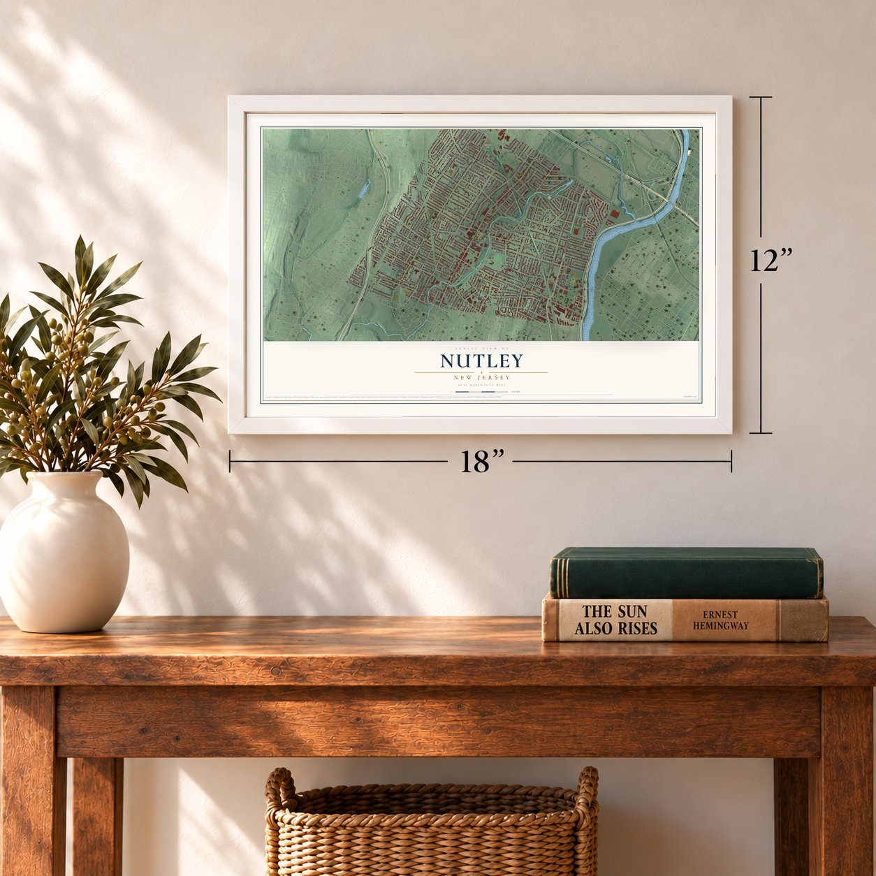
12" x 18" Archival Matte Print
A Map of Home. A Work of Art.
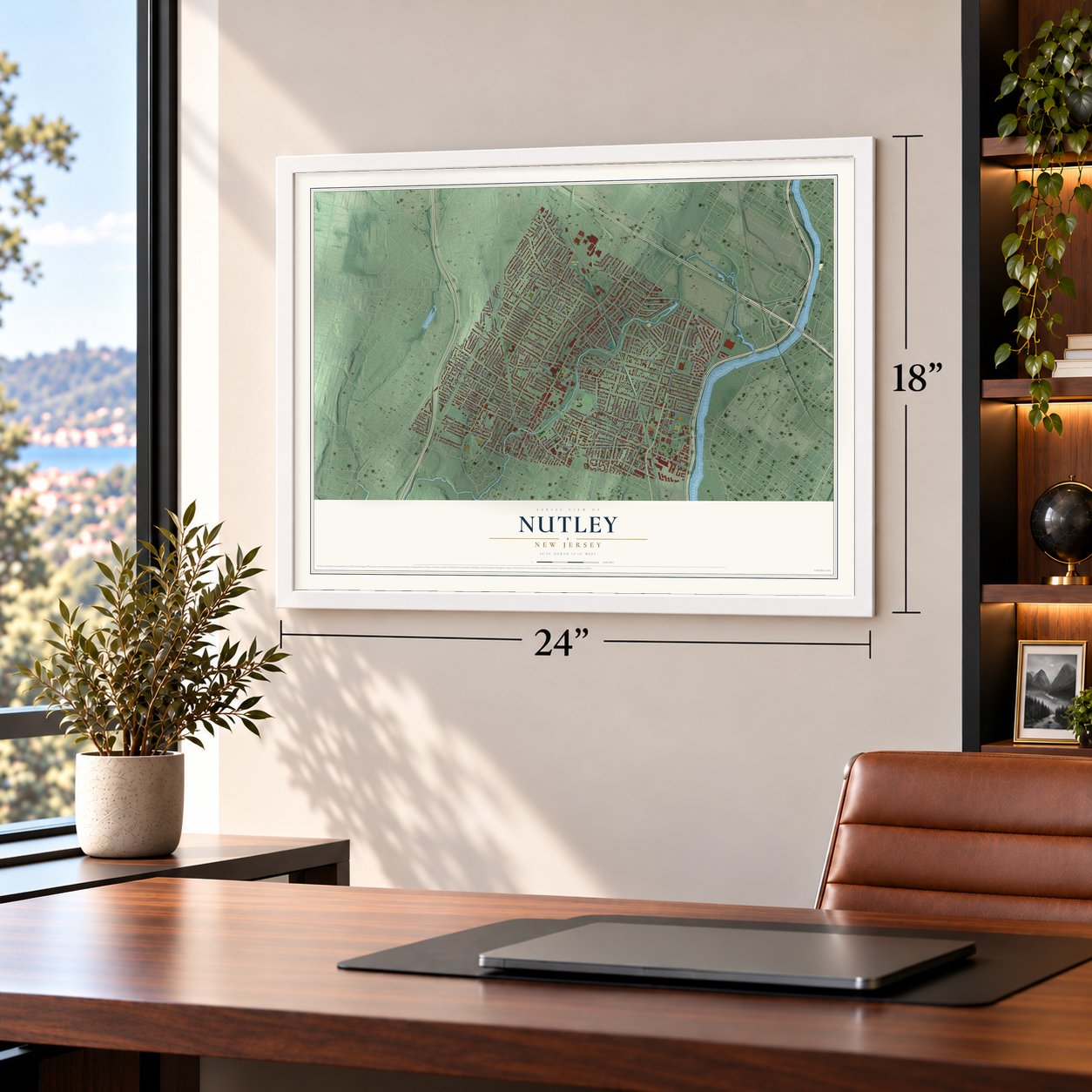
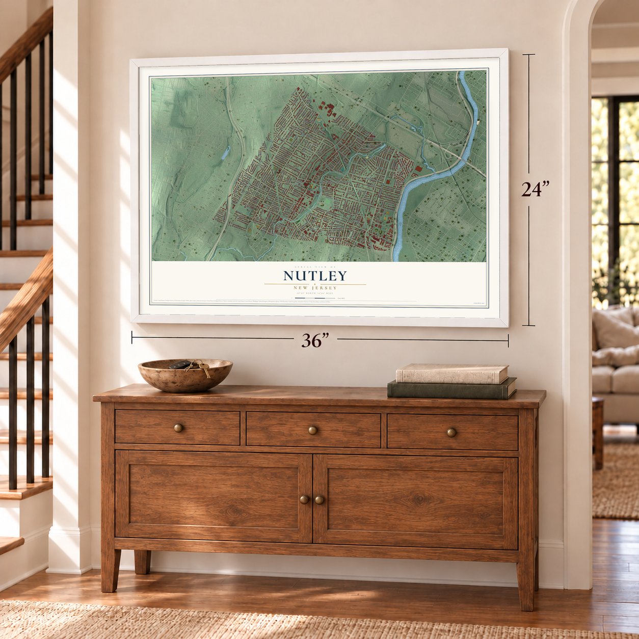
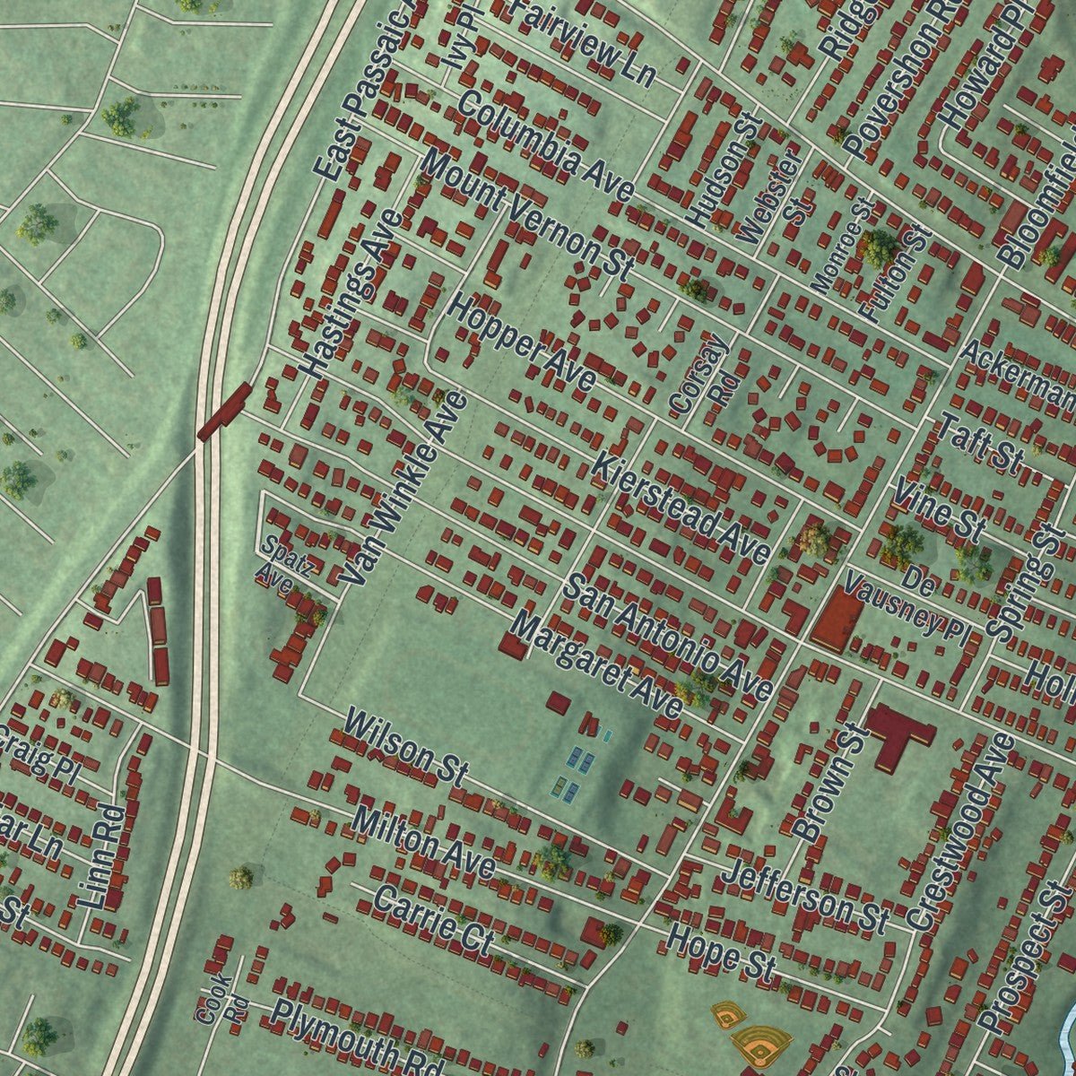
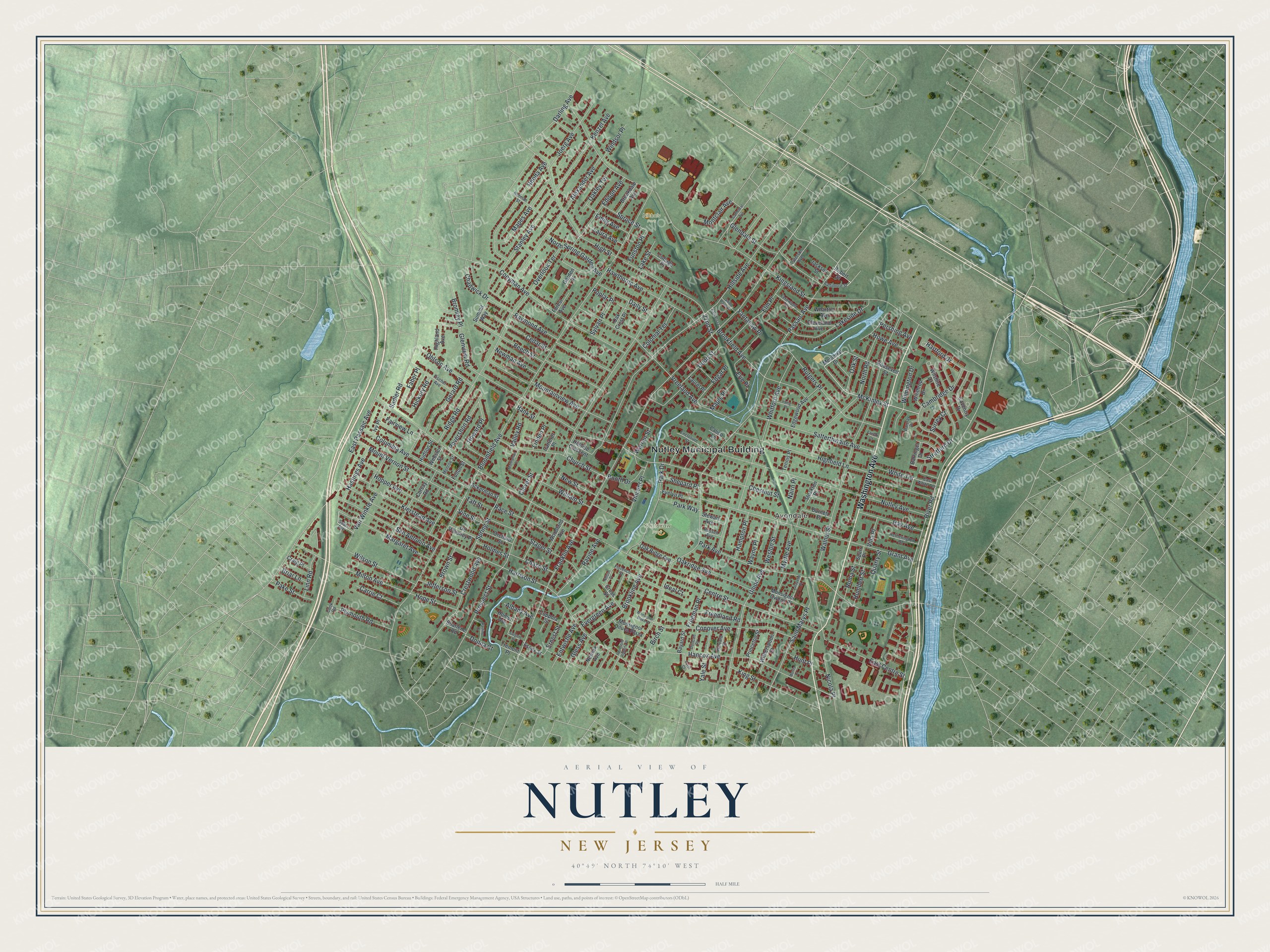
Explore Nutley, New Jersey from a whole new perspective. Created using aerial imagery and detailed geographic data, this map captures Nutley building by building, with labeled streets, familiar landmarks, and shaded topographical relief that highlights the natural contours of the landscape.
Combining modern data with the timeless character of a vintage atlas, this map is just as interesting up close as it is beautiful on the wall. Whether you grew up in Nutley, spent memorable years there, or call it home today, this unique map is a great way to celebrate a place that means something to you. Zoom in on the preview to look for your street, and then order a print to put your memories on the wall.
Three ways to hang it
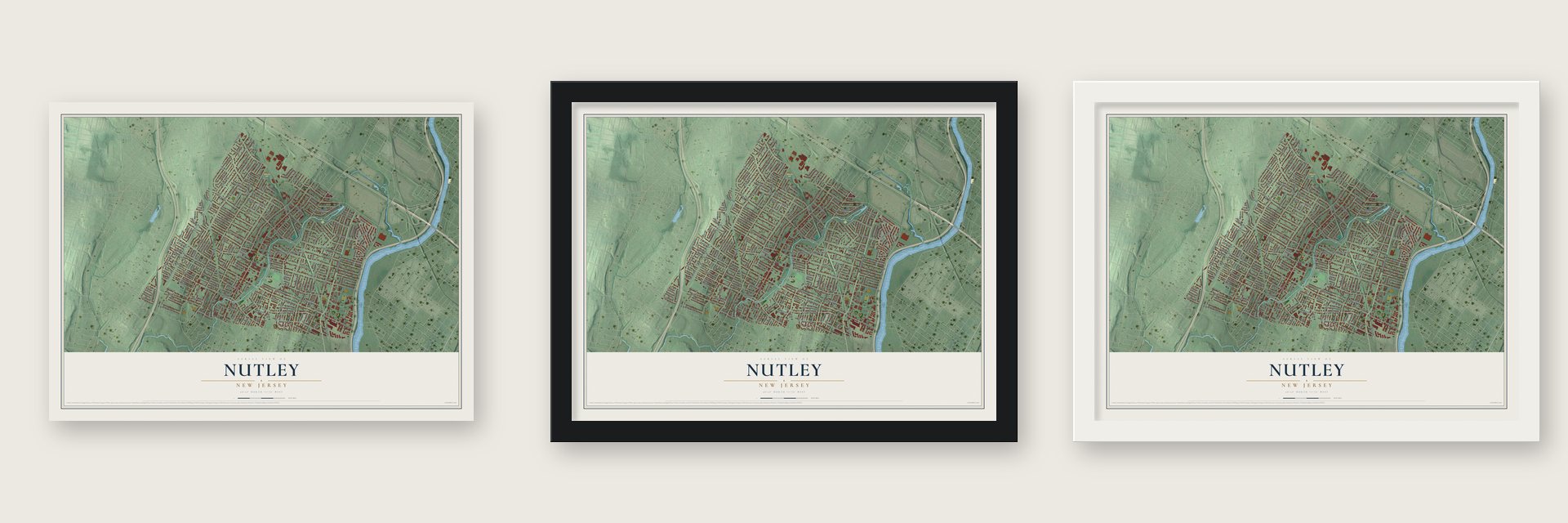
Unframed archival matte, a black wood frame or a white wood frame.
Up close
Geography Worth Displaying
This map was created using accurate cartographic data and authoritative geographic sources, including the U.S. Geological Survey (USGS) and FEMA. The map brings together terrain, waterways, roads, and building detail. The majority of the streets are labeled, houses are accurately depicted, and the topography is derived from government sources. Combining local data with carefully composed color and shading leads to this beautifully detailed Nutley artwork for your wall.
Rather than simply showing street outlines, we’ve included as many of the street names as we could reasonably fit on the map while keeping their names legible. Zoom in on the high resolution preview to see exactly what’s on the map. We truly set out to create a statement piece for anyone who loves Nutley. So whether it’s for you, or a gift for someone you love, we hope this map of Nutley brings back fond memories.
Explore the full map of Nutley, New Jersey and read about the local places it shows.

Find your street
Names on the Nutley map
Every name below is printed on this map. Look for your street, your school, the park where you played, or the pond down the road.
Places and landmarks4
- Nutley Municipal Building
- Avondale
- Yantacaw Park
- Nichols Park
Streets and roads236
- Washington Avenue
- Cambridge Drive
- McKinley Street
- River Road
- Bloomfield Avenue
- Centre Street
- Franklin Avenue
- Passaic Avenue
- Prospect Street
- Kingsland Street
- Harrison Street
- Walnut Street
- Chestnut Street
- Hillside Avenue
- Park Avenue
- High Street
- East Passaic Avenue
- Grant Avenue
- Nutley Avenue
- Whitford Avenue
- Highfield Lane
- Hancox Avenue
- Vreeland Avenue
- Coeyman Avenue
- Ridge Road
- Alexander Avenue
- Raymond Avenue
- Conover Avenue
- Beech Street
- Mountainview Avenue
Show all 236 streets
- Rutgers Place
- Satterthwaite Avenue
- Milton Avenue
- Columbia Avenue
- Union Avenue
- Mount Vernon Street
- Rhoda Avenue
- Lakeside Drive
- Church Street
- San Antonio Avenue
- Brookfield Avenue
- North Road
- Van Winkle Avenue
- Glendale Street
- Saint Marys Place
- Stager Street
- Margaret Avenue
- Hawthorne Avenue
- Park Drive
- Crestwood Avenue
- Hartford Drive
- Wilson Street
- Stratford Drive
- Kenzel Avenue
- Brookline Avenue
- Stanley Avenue
- Myrtle Avenue
- William Street
- Hopper Avenue
- Mapes Avenue
- East Centre Street
- Elm Place
- Oakridge Avenue
- Joerg Avenue
- Cedar Street
- New Street
- Wilmington Drive
- Edison Avenue
- North Spring Garden Avenue
- Evergreen Avenue
- Howard Place
- Kierstead Avenue
- Ravine Avenue
- Plymouth Road
- Race Street
- Povershon Road
- Hay Avenue
- Gerard Road
- Vincent Place
- King Street
- Warren Street
- Spring Street
- Poplar Place
- Oakley Terrace
- Yantacaw Place
- Ohlson Avenue
- Daily Street
- Hastings Avenue
- Overlook Terrace
- Freedland Road
- Faber Place
- Glenview Road
- Yale Street
- Dodd Street
- Colonial Terrace
- Weston Street
- Spruce Street
- Wayne Place
- Hope Street
- Carrie Court
- Newman Avenue
- Ernest Street
- Chase Street
- Montclair Avenue
- Hampton Place
- Sylvan Place
- Edgar Place
- Pake Street
- Jefferson Street
- Booth Drive
- Linn Road
- Entwistle Avenue
- White Terrace
- Brown Street
- Windsor Place
- Park Way
- Fairview Lane
- Freeman Place
- Humbert Street
- Shepard Place
- Nicola Place
- Howe Avenue
- Valley Road
- Laura Avenue
- Funston Place
- Erie Place
- Emily Avenue
- Hickory Road
- Roma Street
- Oak Street
- Maple Place
- Pershing Avenue
- Chadwick Drive
- Holmes Street
- Albany Avenue
- Gless Avenue
- Lake Street
- Darling Avenue
- Briar Lane
- Vine Street
- Bromley Place
- Villa Place
- Taft Street
- Donna Court
- Birch Street
- Linden Place
- Hunt Place
- Clover Street
- Sadler Road
- Surrey Court
- Quarry Street
- Nairn Place
- Ideal Court
- 22nd Street
- Bank Street
- Robert Street
- Memorial Drive
- Coventry Drive
- Roosevelt Street
- Wharton Avenue
- Edgewood Avenue
- Wilshire Drive
- Monsignor Owens Place
- Hillside Crescent
- Evelyn Place
- Oak Ridge Avenue
- Cleveland Avenue
- Winthrop Drive
- Monsignor Diluca Plaza
- Highland Avenue
- Brookdale Avenue
- Corsay Road
- Cross Street
- Witherspoon Street
- Woodland Avenue
- Orchard Street
- Ivy Place
- De Vausney Place
- Princeton Street
- Oak Crest Place
- Ackerman Street
- Cottage Place
- Craig Place
- Burnett Place
- Summit Way
- Hudson Street
- Stewart Avenue
- Bayard Street
- Essex Street
- Coppola Street
- Forest Avenue
- Barringer Drive
- Newark Avenue
- Webster Street
- Tennis Place
- Sharlene Road
- Stockton Place
- Jackson Street
- Laurel Place
- Tremont Place
- Calico Lane
- Fulton Street
- Carteret Place
- Homer Avenue
- Spurr Place
- Garden Place
- Spatz Avenue
- Florence Street
- Fischer Avenue
- Enclosure Street
- Norman Street
- Fernwood Terrace
- Barclay Drive
- Hetherington Road
- Harvard Street
- Duncan Place
- Baltimore Street
- East White Terrace
- Russell Avenue
- Monroe Street
- Paterson Avenue
- Cook Road
- Cathedral Avenue
- Manhattan Court
- Monsignor Blake Place
- Pauline Drive
- Lafayette Place
- Irving Place
- East Plaza
- Nelson Place
- Saint Pauls Place
- Reverend Roberts Place
- Sargent Street
- Lovel Court
- Fairfax Court
- Morris Place
Names are listed as they appear on the printed map. Zoom into the product photos to find them.
About Nutley, New Jersey
Nutley is a township in Essex County, and the 2020 census recorded 30,143 residents there. It was formally organized on March 5, 1902.
- 30,143 peopleThe United States census recorded this population in 2020.
- Incorporated in 1902It was incorporated on March 5, 1902.
Keep exploring New Jersey
Nutley is one of 990 New Jersey towns we've mapped. Every dot on the map is a print of its own.
The search covers every state, New Jersey first.
Near Nutley
Order 2 or more town maps and save 10%. Shown in the size and finish you picked above, so they hang as a set.
- Brookdale 12" x 18" / Archival Matte Print $39.99
- Bloomfield 12" x 18" / Archival Matte Print $39.99
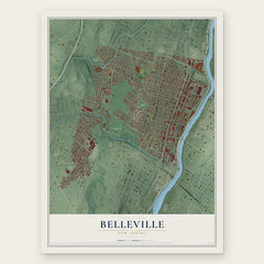
- Belleville 12" x 18" / Archival Matte Print $39.99
More maps nearby: Rutherford, Glen Ridge, Lyndhurst, Upper Montclair and North Arlington.
The art of mapping a place
How This Map Was Made
Real places. Remarkable detail. Discover the layers that turn geographic data into a map of home.

The view from above
Aerial imagery reveals the character of the land: woodland, open fields, and the patterns of a place.

The shape of the land
Elevation data brings hills, valleys, and subtle changes in the landscape into view.

The details of home
Roads, waterways, and building footprints come together to make the map feel unmistakably local.

Geography becomes art
Considered color, shading, and typography bring the layers together in a map made for your wall.


Process illustrated with Mendon, Massachusetts. Aerial imagery: USDA NAIP. Terrain: USGS 3D Elevation Program. Map details and finished artwork: KNOWOL.
The Details
About This Print
Choose an archival matte print, or a black or white Ayous wood frame. The archival matte print is unframed.
Select your size and finish above to see the matching product image and price.
Materials & Craftsmanship
A contemporary map with the character of a classic atlas, printed on archival matte paper. Optional frames are made from Ayous wood.
Your printed map does not include the watermark shown in the full-map preview.
Shipping & Delivery
Free shipping within the United States. Every print is made to order in the USA.
Buying a gift? Add a note in your cart and we'll include it. We never put prices in the package.
Prints ship within 2 to 3 business days. Allow 7 to 10 days total from ordering for delivery. Timing may vary during holidays or periods of high order volume.
Read our shipping policy.
Returns and damaged prints
Each print is made to order. Change-of-mind refunds are not available after production.
If your print arrives damaged, misprinted or incorrect, contact support@knowol.com within 30 days of receiving it. Include your order number, photos and a description of the issue.
Read our full refund and replacement policy. For questions about your order, email support@knowol.com.