
Search for another town




Free U.S. delivery 7 to 10 days after you order
Odenton, Maryland Map Art
Building by building, with labeled streets and shaded relief.
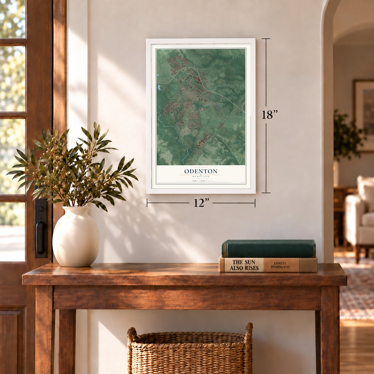
12" x 18" Archival Matte Print
A Map of Home. A Work of Art.
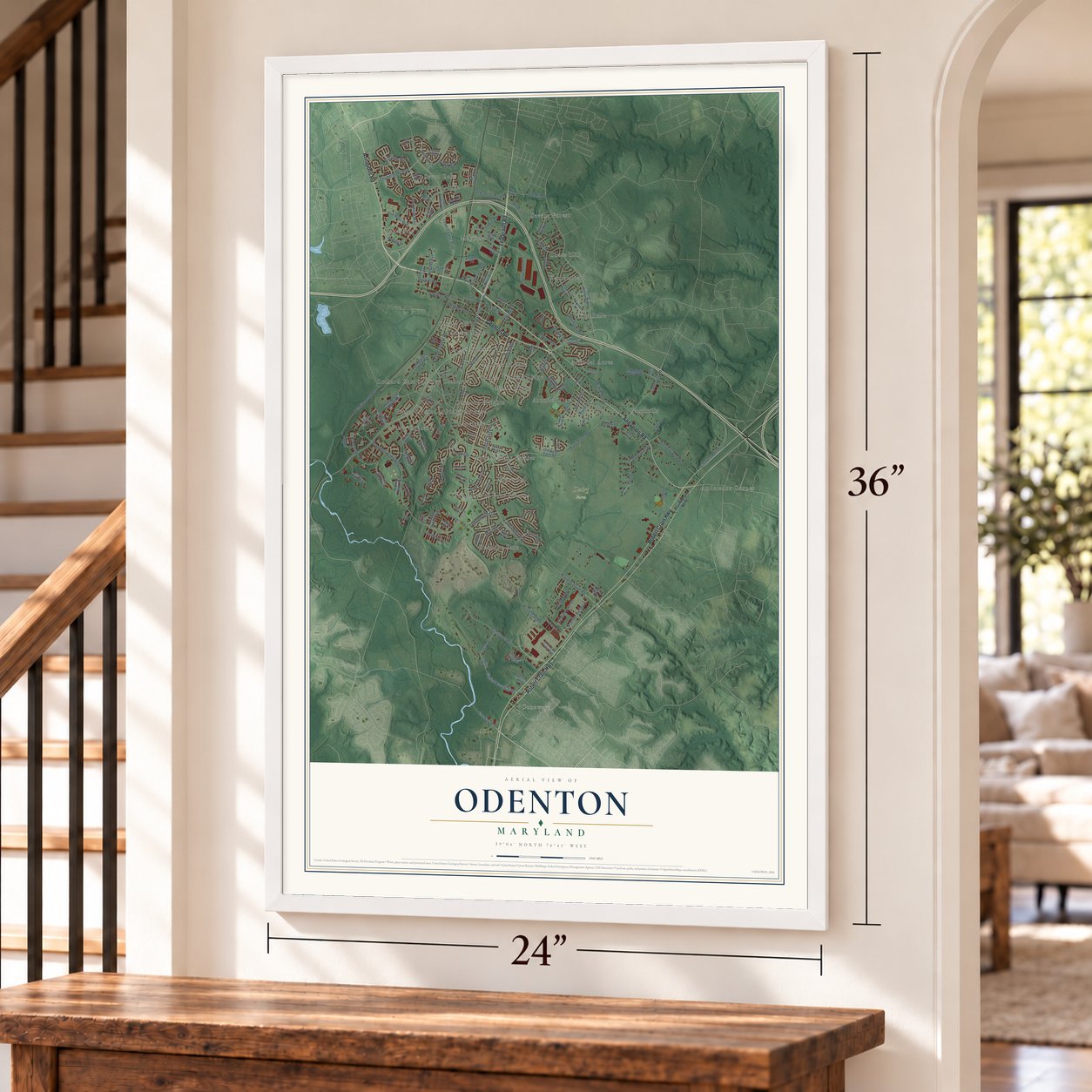
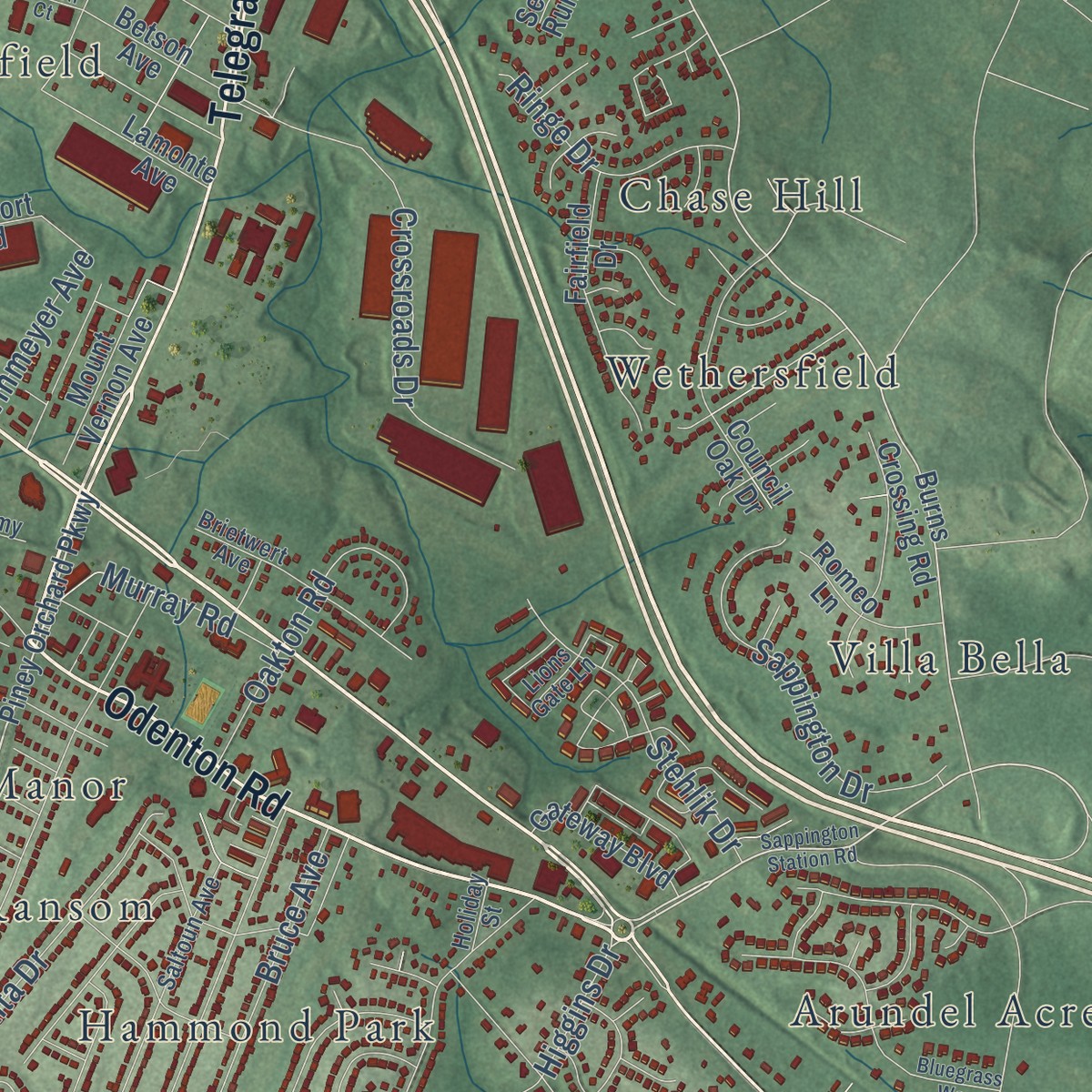
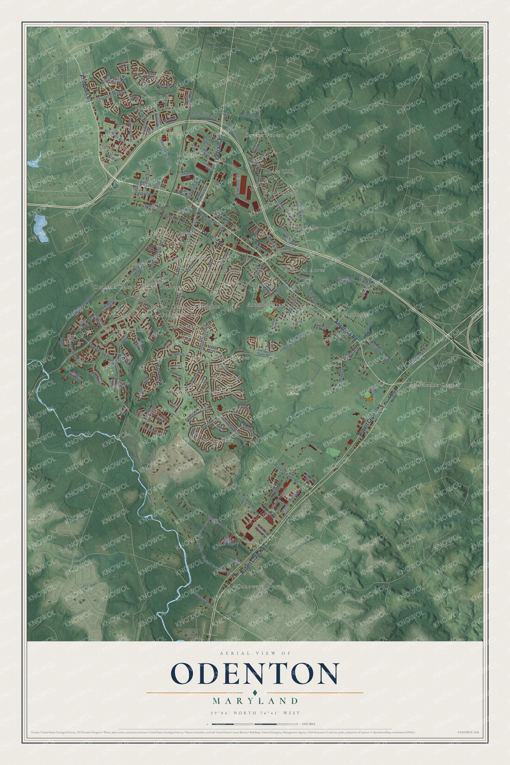
Explore Odenton, Maryland from a whole new perspective. Created using aerial imagery and detailed geographic data, this map captures Odenton building by building, with labeled streets, familiar landmarks, and shaded topographical relief that highlights the natural contours of the landscape.
Combining modern data with the timeless character of a vintage atlas, this map is just as interesting up close as it is beautiful on the wall. Whether you grew up in Odenton, spent memorable years there, or call it home today, this unique map is a great way to celebrate a place that means something to you. Zoom in on the preview to look for your street, and then order a print to put your memories on the wall.
Three ways to hang it
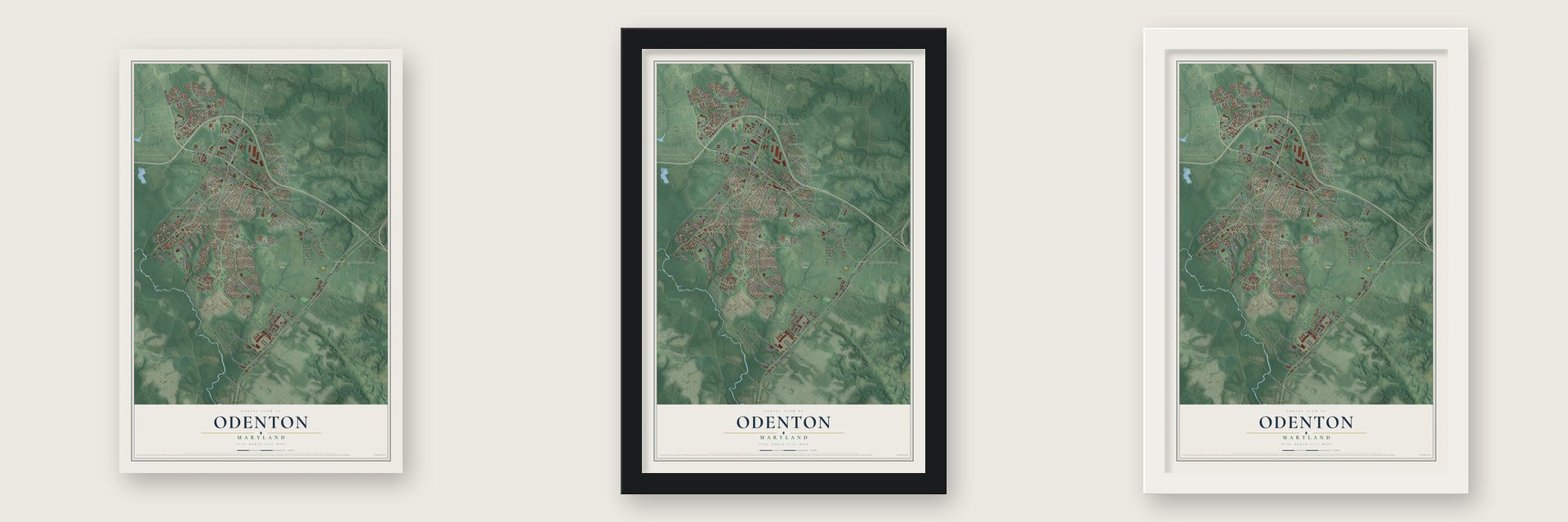
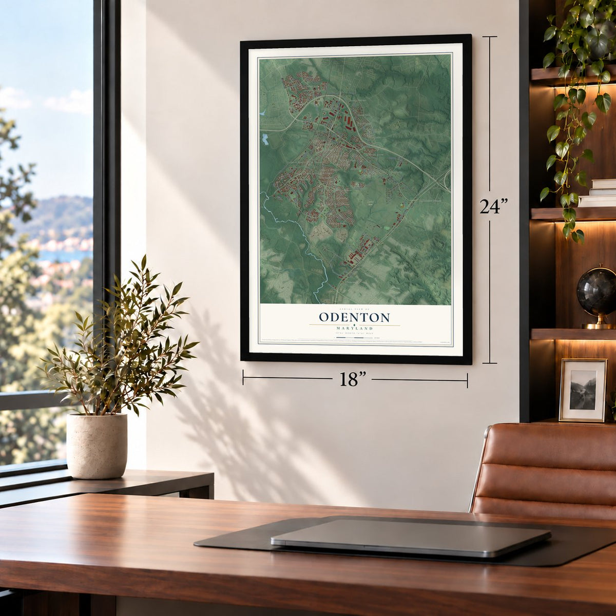
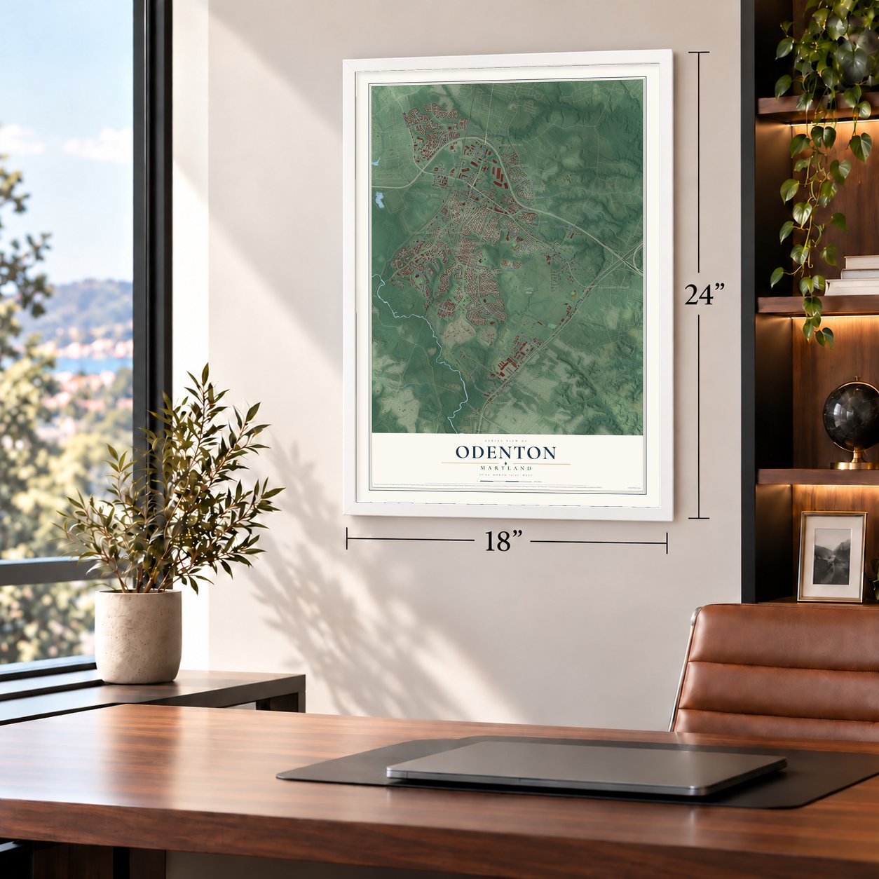
Unframed archival matte, a black wood frame or a white wood frame.
Up close
Geography Worth Displaying
This map was created using accurate cartographic data and authoritative geographic sources, including the U.S. Geological Survey and the Census Bureau. The map brings together terrain, waterways, roads, and building detail. The majority of the streets are labeled, houses are accurately depicted, and the topography is derived from government sources. Combining local data with carefully composed color and shading leads to this beautifully detailed Odenton artwork for your wall.
Rather than simply showing street outlines, we’ve included as many of the street names as we could reasonably fit on the map while keeping their names legible. Zoom in on the high resolution preview to see exactly what’s on the map. We truly set out to create a statement piece for anyone who loves Odenton. So whether it’s for you, or a gift for someone you love, we hope this map of Odenton brings back fond memories.
Read the story behind this map of Odenton, Maryland from 2026.
Find your street
Names on the Odenton map
Every name below is printed on this map. Look for your street, your school, the park where you played, or the pond down the road.
Places and landmarks30
- Dairy Farm
- Severn Forest
- Conaways
- Meadedale
- Odenton Park
- Orchard Gate at Piney Orchard
- Jackson Grove
- Maple Ridge
- Wethersfield
- Piney Orchard
- Stoney Hill
- Mistwood
Show all 30 places
- Arundel View
- Andersons Corner
- Mayfield
- Gambrills
- Odenton Heights
- The Courts of Four Seasons
- Hammond Park
- Kings Ransom
- Chapelgate
- Villa Bella
- Chase Hill
- Arundel Acres
- Riden
- Four Seasons Estates
- Orchard Point at Piney Orchard
- Seven Oaks
- Colony Ridge
- Scotts Manor
Streets and roads150
- Annapolis Road
- Telegraph Road
- Odenton Road
- Robert Crain Highway
- Riverscape Road
- Strawberry Lake Way
- Town Center Boulevard
- Crossroads Drive
- Higgins Drive
- Colleen
- Waugh Chapel Road
- Evergreen Road
- Dairy Farm Road
- School Lane
- Charter Oaks Boulevard
- Rita Drive
- Maytime Drive
- Seneca Drive
- North Patuxent Road
- Gambrills Road
- Winfields Lane
- Wildlife Loop Road
- Sappington Drive
- Chapel Lake Drive
- Brickhead Road
- Jackson Grove Road
- Berger Street
- Bruce Avenue
- Oakton Road
- Charles Hall Drive
Show all 150 streets
- Lokus Road
- Springhill Way
- Capitol Raceway Road
- Brandermill Boulevard
- Stehlik Drive
- Bragg Boulevard
- Winmeyer Avenue
- Hale Street
- Conway Road
- Ringe Drive
- Artillery Lane
- Indian Summer Drive
- Holladay Park Road
- Brigadier Boulevard
- Second Street
- Old Mill Road
- Nevada Avenue
- Murray Road
- Silver Way
- Autumn Gold Drive
- Becknel Avenue
- Duckens Street
- Regiment Way
- California Terrace
- Dairy Lane
- Orchid Road
- Lamoka Drive
- Third Street
- Piney Orchard Parkway
- Burns Crossing Road
- Town Center Avenue
- McKnew Road
- Blue Water Boulevard
- Summers Ridge Drive
- Old Waugh Chapel Road
- Sunny Chapel Road
- Maple Road
- Scaffold Way
- Old Dairy Farm Road
- Council Oak Drive
- Wigeon Way
- Pediment Avenue
- Roaming Ridge Way
- Sandy Walk Way
- Fairfield Drive
- Running Wolf Trail
- Redmiles Lane
- Mount Vernon Avenue
- Cedar Elm Court
- Jackson Road
- Stonegate Forest Way
- Colony Ridge Road
- Lamonte Avenue
- Gateway Boulevard
- Smooth Alder Street
- Riden Street
- Severn Run Court
- Romeo Lane
- Willow Leaf Lane
- Rainy Spring Court
- Range Road
- Betson Avenue
- Keyport Road
- Shallow Stream Way
- Jo Ann Drive
- New Waugh Chapel Road
- Snow Hill Lane
- Capital Drive
- Astilbe Way
- Middle Neck Road
- Vivaldi Lane
- Taxus Drive
- Holson Road
- Blair Drive
- Star Stella Drive
- Stream Valley Drive
- Saltoun Avenue
- Brietwert Avenue
- Snow Valley Lane
- Pine Cove Avenue
- Warm Spring Way
- Fall Circle Way
- Claffy Avenue
- Emerald Way
- Cannon Ridge Drive
- Aaron Circle
- First Street
- Lions Gate Lane
- Baldwin Road
- Thicket Court
- South Main Chapel Way
- Carol Avenue
- Hidden Hill Circle
- Tobin Way
- Academy Road
- Royal Oak Lane
- Killarney Terrace
- Reliance Drive
- Timber Wood Court
- Holiday Street
- Crain Highway North
- Sappington Station Road
- Bluegrass Way
- Samantha Lane
- Autumn Valley Lane
- Jostaberry Way
- Piscataway Run Drive
- Chapel Centre Drive
- Brodick Lane
- Meandering Way
- New Dawn Lane
- Four Orchards Lane
- Crigger Road
- Settlers View Drive
- Forest Avenue
- Wickell Road
- Betson Court
- Dopeco Court
- Keuka Court
- Old Mill Court
Names are listed as they appear on the printed map. Zoom into the product photos to find them.
About Odenton, Maryland
Odenton is a community of 42,947 people in Anne Arundel County, between Baltimore, Washington and Annapolis. In 1840 the Annapolis and Elk Ridge Railroad was laid across thinly settled farmland here. When the Civil War began, people who sided with the South had cut the rail route through Baltimore, so this line became the only way north to the capital, and Union troops guarded it.
The town itself dates from 1868, when the Baltimore and Potomac Railroad was built between Baltimore and Washington. Where it crossed the older line, the company put up a station and a telegraph office and named them for Oden Bowie, its president and a former governor of Maryland. A post office opened in 1871, and trains began stopping on July 2, 1872. Houses for railroad workers went up near the junction, followed by a Methodist church in 1891 and a grade school in 1892.
- Largest town in 1878The 1878 Maryland Directory named five towns in this area: Conaway, Odenton, Patuxent, Sappington and Woodwardville. Odenton led them with 100 people, a church, a school and two stores. Farmland nearby sold for $5 to $30 an acre and grew wheat, corn and tobacco.
- Stores and a canneryOdenton's first business district grew at the rail junction on Odenton Road, already a busy route from Annapolis to Frederick. The Watts and Murray general stores sold to railroad men and farmers. Later in the century the George M. Murray Canning House, which put up mostly tomatoes, opened on the same road and did well into the early 1900s.
- Camp Meade in 1917When the United States entered World War I, the War Department took 19,000 acres west of Odenton for a training camp that became Fort Meade. Farmers, merchants and businesses lost their land, and many of them moved east and built new homes in Odenton. The town grew faster in the 1950s, when the National Security Agency came to the fort and Friendship International Airport opened a few miles north.
- The Capitals' practice rinkFrom 1991 to 2006 the Washington Capitals held their practices at Piney Orchard's ice arena, and the Baltimore Skipjacks trained there in the early 1990s too. The Capitals then left for a new rink in Arlington County, Virginia. The arena was renovated in 2017, and the Maryland Black Bears, a North American Hockey League team, now play their home games there.
Keep exploring Maryland
Odenton is one of 874 Maryland towns we've mapped. Every dot on the map is a print of its own.
The search covers every state, Maryland first.
Near Odenton
Order 2 or more town maps and save 10%. Shown in the size and finish you picked above, so they hang as a set.
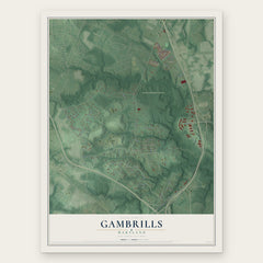
- Gambrills 12" x 18" / Archival Matte Print $39.99
- Crofton 12" x 18" / Archival Matte Print $39.99
- Fort Meade 12" x 18" / Archival Matte Print $39.99


More maps nearby: Millersville, Severn, Arden on the Severn, Crownsville and Maryland City.
The art of mapping a place
How This Map Was Made
Real places. Remarkable detail. Discover the layers that turn geographic data into a map of home.

The view from above
Aerial imagery reveals the character of the land: woodland, open fields, and the patterns of a place.

The shape of the land
Elevation data brings hills, valleys, and subtle changes in the landscape into view.

The details of home
Roads, waterways, and building footprints come together to make the map feel unmistakably local.

Geography becomes art
Considered color, shading, and typography bring the layers together in a map made for your wall.


Process illustrated with Mendon, Massachusetts. Aerial imagery: USDA NAIP. Terrain: USGS 3D Elevation Program. Map details and finished artwork: KNOWOL.
The Details
About This Print
Choose an archival matte print, or a black or white Ayous wood frame. The archival matte print is unframed.
Select your size and finish above to see the matching product image and price.
Materials & Craftsmanship
A contemporary map with the character of a classic atlas, printed on archival matte paper. Optional frames are made from Ayous wood.
Your printed map does not include the watermark shown in the full-map preview.
Shipping & Delivery
Free shipping within the United States. Every print is made to order in the USA.
Buying a gift? Add a note in your cart and we'll include it. We never put prices in the package.
Prints ship within 2 to 3 business days. Allow 7 to 10 days total from ordering for delivery. Timing may vary during holidays or periods of high order volume.
Read our shipping policy.
Returns and damaged prints
Each print is made to order. Change-of-mind refunds are not available after production.
If your print arrives damaged, misprinted or incorrect, contact support@knowol.com within 30 days of receiving it. Include your order number, photos and a description of the issue.
Read our full refund and replacement policy. For questions about your order, email support@knowol.com.