
Search for another town





Free U.S. delivery 7 to 10 days after you order
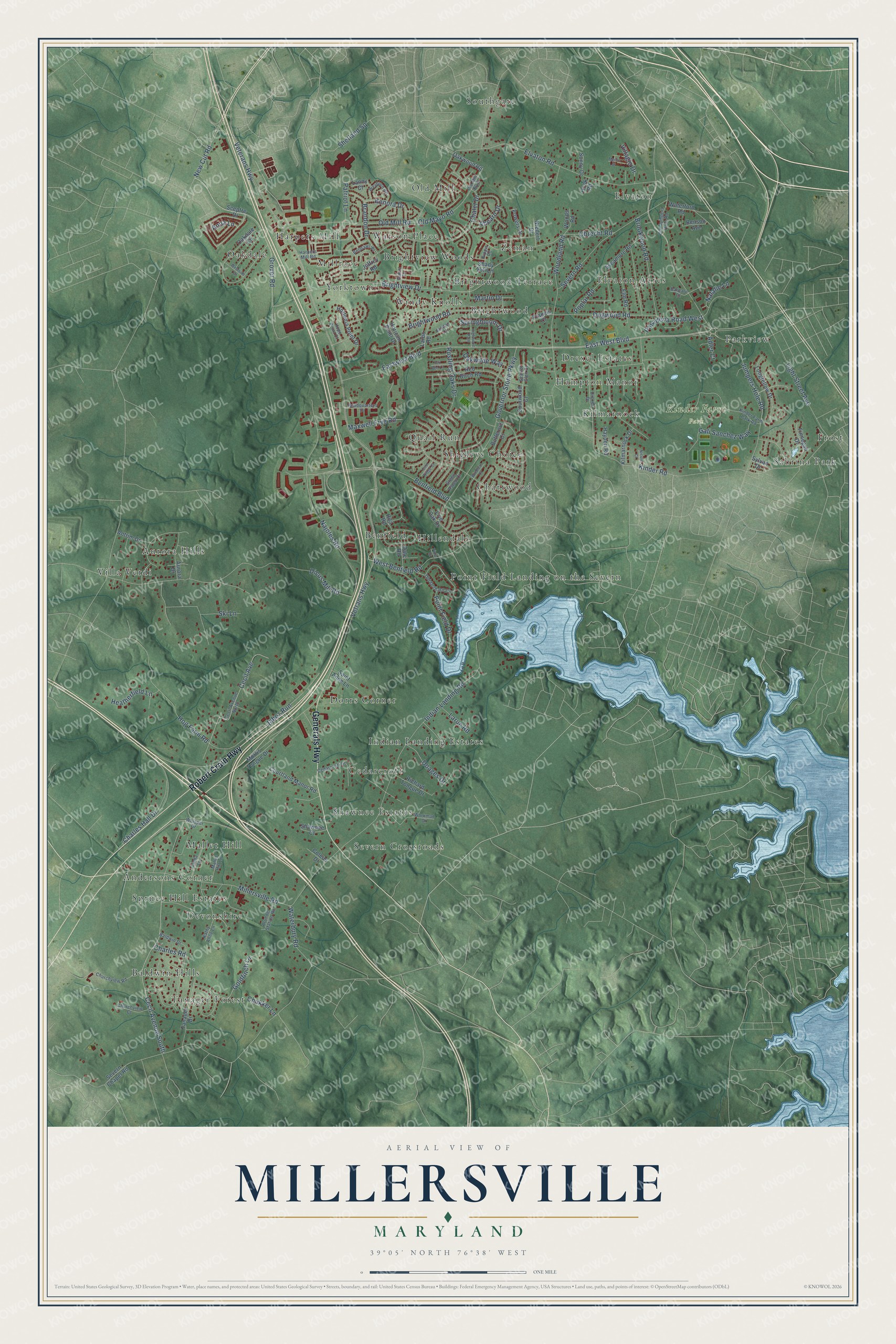
Millersville, Maryland Map Art
Building by building, with labeled streets and shaded relief.
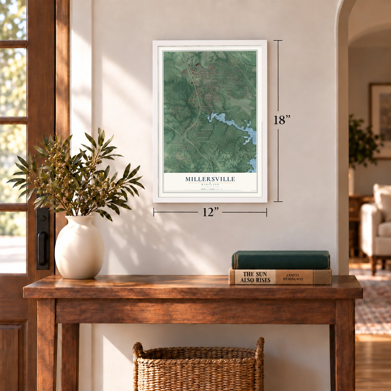
12" x 18" Archival Matte Print
A Map of Home. A Work of Art.
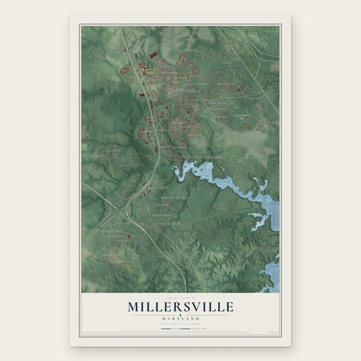
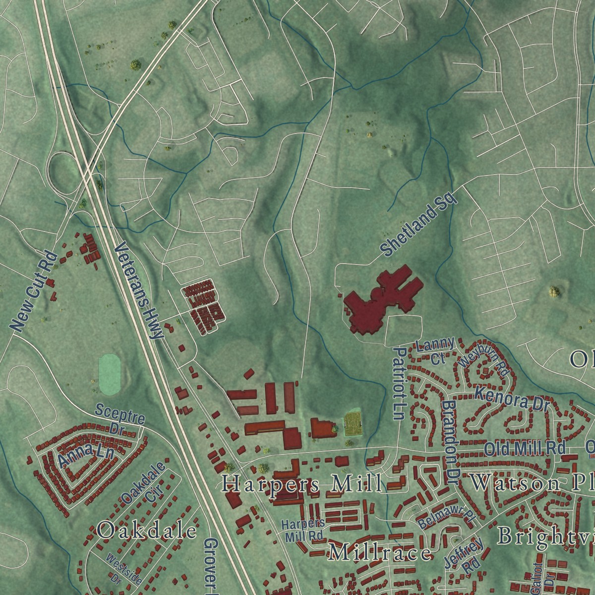
Explore Millersville, Maryland from a whole new perspective. Created using aerial imagery and detailed geographic data, this map captures Millersville building by building, with labeled streets, familiar landmarks, and shaded topographical relief that highlights the natural contours of the landscape.
Combining modern data with the timeless character of a vintage atlas, this map is just as interesting up close as it is beautiful on the wall. Whether you grew up in Millersville, spent memorable years there, or call it home today, this unique map is a great way to celebrate a place that means something to you. Zoom in on the preview to look for your street, and then order a print to put your memories on the wall.
Three ways to hang it
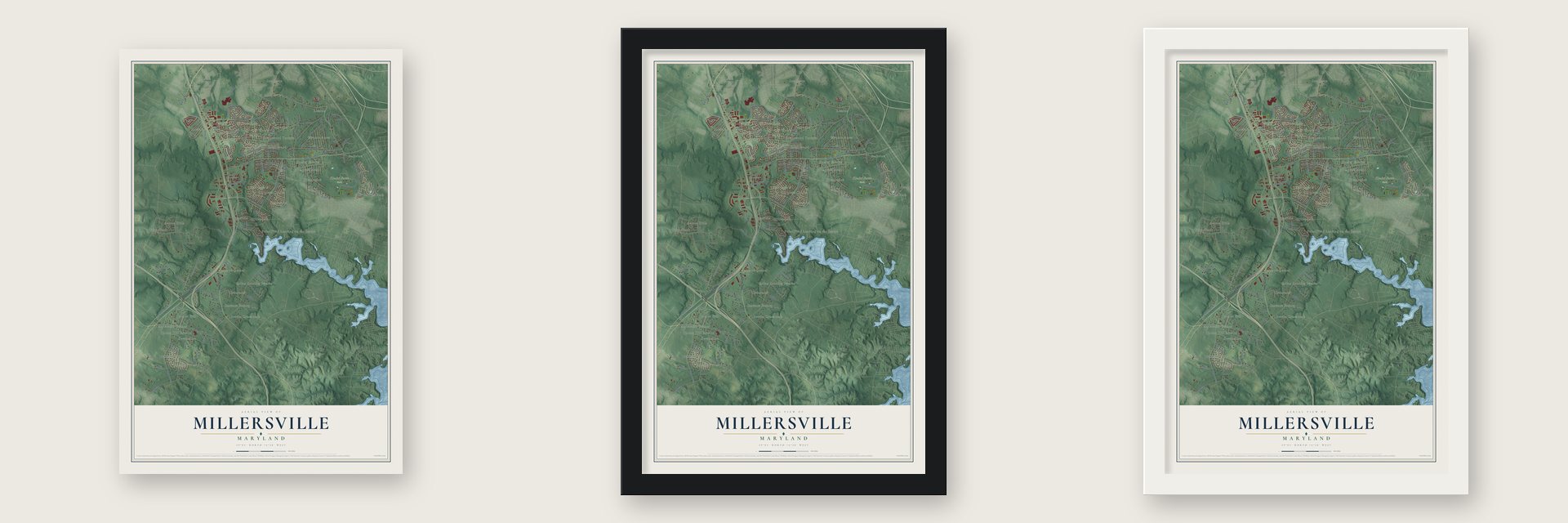
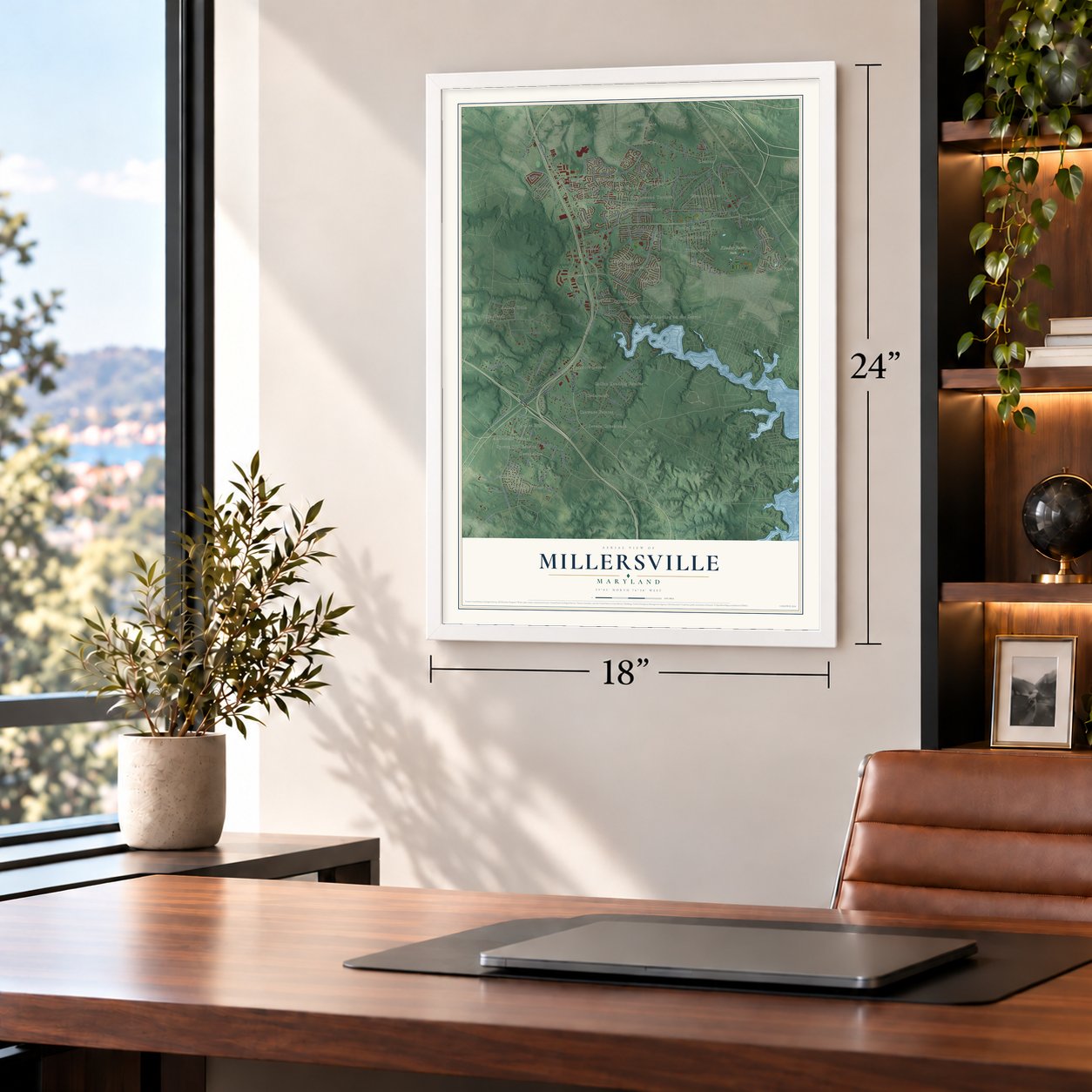
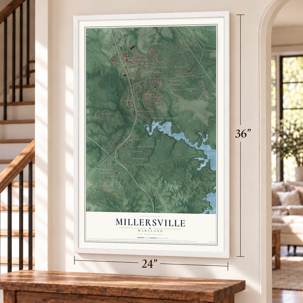
Unframed archival matte, a black wood frame or a white wood frame.
Up close
Geography Worth Displaying
This map was created using accurate cartographic data and authoritative geographic sources, including the U.S. Geological Survey and the Census Bureau. The map brings together terrain, waterways, roads, and building detail. The majority of the streets are labeled, houses are accurately depicted, and the topography is derived from government sources. Combining local data with carefully composed color and shading leads to this beautifully detailed Millersville artwork for your wall.
Rather than simply showing street outlines, we’ve included as many of the street names as we could reasonably fit on the map while keeping their names legible. Zoom in on the high resolution preview to see exactly what’s on the map. We truly set out to create a statement piece for anyone who loves Millersville. So whether it’s for you, or a gift for someone you love, we hope this map of Millersville brings back fond memories.
Read the story behind this map: Detailed Map of Millersville, Maryland.
Find your street
Names on the Millersville map
Every name below is printed on this map. Look for your street, your school, the park where you played, or the pond down the road.
Places and landmarks40
- Kinder Farm Park
- Baldwin Hills
- Aurora Hills
- Oakdale
- Southgate
- Severn Crossroads
- Point Field Landing on the Severn
- Indian Landing Estates
- Shipleys Choice
- Brightview Woods
- Parkview
- Elvaton
Show all 40 places
- Elvaton Acres
- Frost
- Devonshire
- Cedarcroft
- Old Mill
- Millrace
- Andersons Corner
- Hampton Manor
- Villa Verdi
- Zeman
- Windy Knolls
- Brightwood Terrace
- Mallet Hill
- Dorrs Corner
- Sabrina Park
- Quail Run
- Yorktown
- Benfield
- Chartwood
- Tanager Forest
- Drexel Estates
- Harpers Mill
- Spruce Hill Estates
- Brightwood
- Watson Place
- Shawnee Estates
- Hillendale
- Kilmarnock
Streets and roads135
- Robert Crain Highway
- Generals Highway
- East West Boulevard
- Grover Road
- Springbloom Drive
- Jumpers Hole Road
- Veterans Highway
- Rustling Oaks Drive
- Cecil Avenue
- Benfield Boulevard
- Indian Landing Road
- Vetrans Highway
- Millersville Road
- Obrecht Road
- Najoles Road
- Dicus Mill Road
- Old Mill Road
- Brightview Drive
- Elvaton Road
- Governor Stone Parkway
- Ski Lane
- Woodland Road
- Pasadena Road West
- Chalet Drive
- Kenora Drive
- Light Street Avenue
- Hog Farm Road
- Brightwood Road
- Eastwest Boulevard
- Cecil Avenue South
Show all 135 streets
- Brookwood Road
- Dogwood Road
- Jabez Run
- Kinder Road
- Gali Sanchez Way
- West Benfield Road
- Charles Hall Drive
- Severn Road
- Patriot Lane
- Brandon Drive
- Goldfinch Lane
- New Cut Road
- Waterbury Road
- Point Field Drive
- Old Mayo Road
- Ahearn Drive
- Maxwell Frye Road
- Doages Drive
- Heatherfield Lane
- Poplar Road
- Martin Drive
- Oakwilde Way
- Villagio Drive
- Larue Road
- Shetland Square
- Natalie Lane
- Chukker Lane
- Charles Road
- Anna Lane
- Adler Court
- Sceptre Drive
- Oakwood Road
- Oakdale Circle
- Red Birch Road
- Sycamore Road
- Finnegan Drive
- Courtland Manor Road
- Severn Chapel Road
- Longfellow Drive
- Hortonia Point Drive
- Larbo Road
- Elm Road
- Live Oak Drive
- Tanager Drive
- Horicon Point Drive
- Woods Road
- Richard Tongue Drive
- Morris Tongue Drive
- Kilmarnock Drive
- Antrim Drive
- Saint Anne Lane
- Sonny Drive
- Waterford Road
- Powers Drive
- Butternut Court
- Hayden Road
- Aurora Drive
- Niedert Drive
- Sourwood Court
- Shawnee Court
- Dale Road
- Jeffrey Road
- Benson Avenue
- Coleus Drive
- Francis Court
- Shady Hill Lane
- Sylvan Drive
- Hila Road
- Hook Road
- Lanny Court
- Baldwin Drive
- Cecil Avenue North
- Old Orchard Circle
- Kinder Farm Park Road
- Linda Lane
- Churchview Road
- Workman Drive
- Kathy Anne Lane
- Old Mill Boulevard
- Cedarcroft Drive
- Drexel Drive
- Kippis Road
- Weyburn Road
- Old Jumpers Hole Road
- Churchview Court
- Arundel Station Road
- Mallet Hill Lane
- Headquarters Drive
- Scarlet Glen Court
- Jandon Court
- Harpers Mill Road
- Belmawr Place
- Hope Point Court
- Green Aspen Court
- Galiot Drive
- Whisper Drive
- Barbaro Court
- Fox Den Lane
- Highwood Path
- Merlot Street
- Westside Drive
- Cool Ridge Court
- Windfern Court
- Nicole Court
- Pixie Drive
Names are listed as they appear on the printed map. Zoom into the product photos to find them.
About Millersville, Maryland
Millersville took its name from George Miller, its first postmaster. Its post office opened on July 24, 1841. It was the first one set up along the Annapolis and Elkridge Railroad. That line, finished in 1840, was among the earliest railroads in the country.
Keep exploring Maryland
Millersville is one of 881 Maryland towns we've mapped. Every dot on the map is a print of its own.
The search covers every state, Maryland first.
Near Millersville
Order 2 or more town maps and save 10%. Shown in the size and finish you picked above, so they hang as a set.
- Arden on the Severn 12" x 18" / Archival Matte Print $39.99
- Gambrills 12" x 18" / Archival Matte Print $39.99
- Severna Park 12" x 18" / Archival Matte Print $39.99
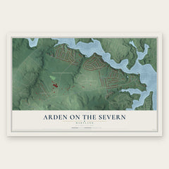
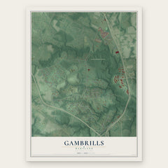
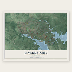
More maps nearby: Herald Harbor, Odenton, Crownsville, Glen Burnie and Severn.
The art of mapping a place
How This Map Was Made
Real places. Remarkable detail. Discover the layers that turn geographic data into a map of home.

The view from above
Aerial imagery reveals the character of the land: woodland, open fields, and the patterns of a place.

The shape of the land
Elevation data brings hills, valleys, and subtle changes in the landscape into view.

The details of home
Roads, waterways, and building footprints come together to make the map feel unmistakably local.

Geography becomes art
Considered color, shading, and typography bring the layers together in a map made for your wall.


Process illustrated with Mendon, Massachusetts. Aerial imagery: USDA NAIP. Terrain: USGS 3D Elevation Program. Map details and finished artwork: KNOWOL.
The Details
About This Print
Choose an archival matte print, or a black or white Ayous wood frame. The archival matte print is unframed.
Select your size and finish above to see the matching product image and price.
Materials & Craftsmanship
A contemporary map with the character of a classic atlas, printed on archival matte paper. Optional frames are made from Ayous wood.
Your printed map does not include the watermark shown in the full-map preview.
Shipping & Delivery
Free shipping within the United States. Every print is made to order in the USA.
Buying a gift? Add a note in your cart and we'll include it. We never put prices in the package.
Prints ship within 2 to 3 business days. Allow 7 to 10 days total from ordering for delivery. Timing may vary during holidays or periods of high order volume.
Read our shipping policy.
Returns and damaged prints
Each print is made to order. Change-of-mind refunds are not available after production.
If your print arrives damaged, misprinted or incorrect, contact support@knowol.com within 30 days of receiving it. Include your order number, photos and a description of the issue.
Read our full refund and replacement policy. For questions about your order, email support@knowol.com.