
Search for another town



Free U.S. delivery 7 to 10 days after you order
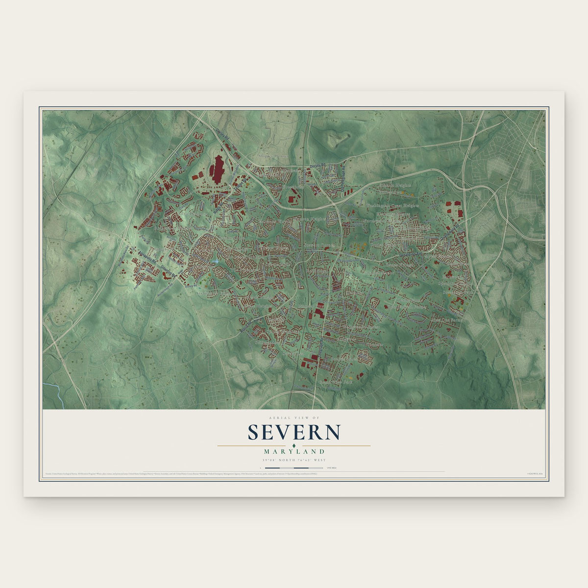
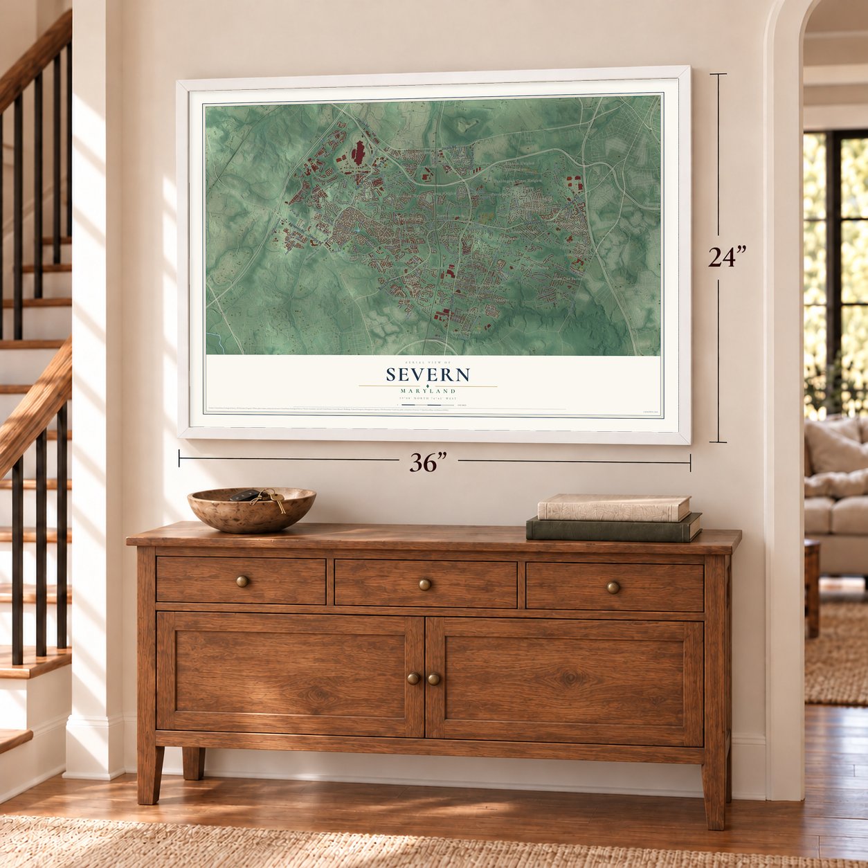
Severn, Maryland Map Art
Building by building, with labeled streets and shaded relief.
12" x 18" Archival Matte Print
A Map of Home. A Work of Art.
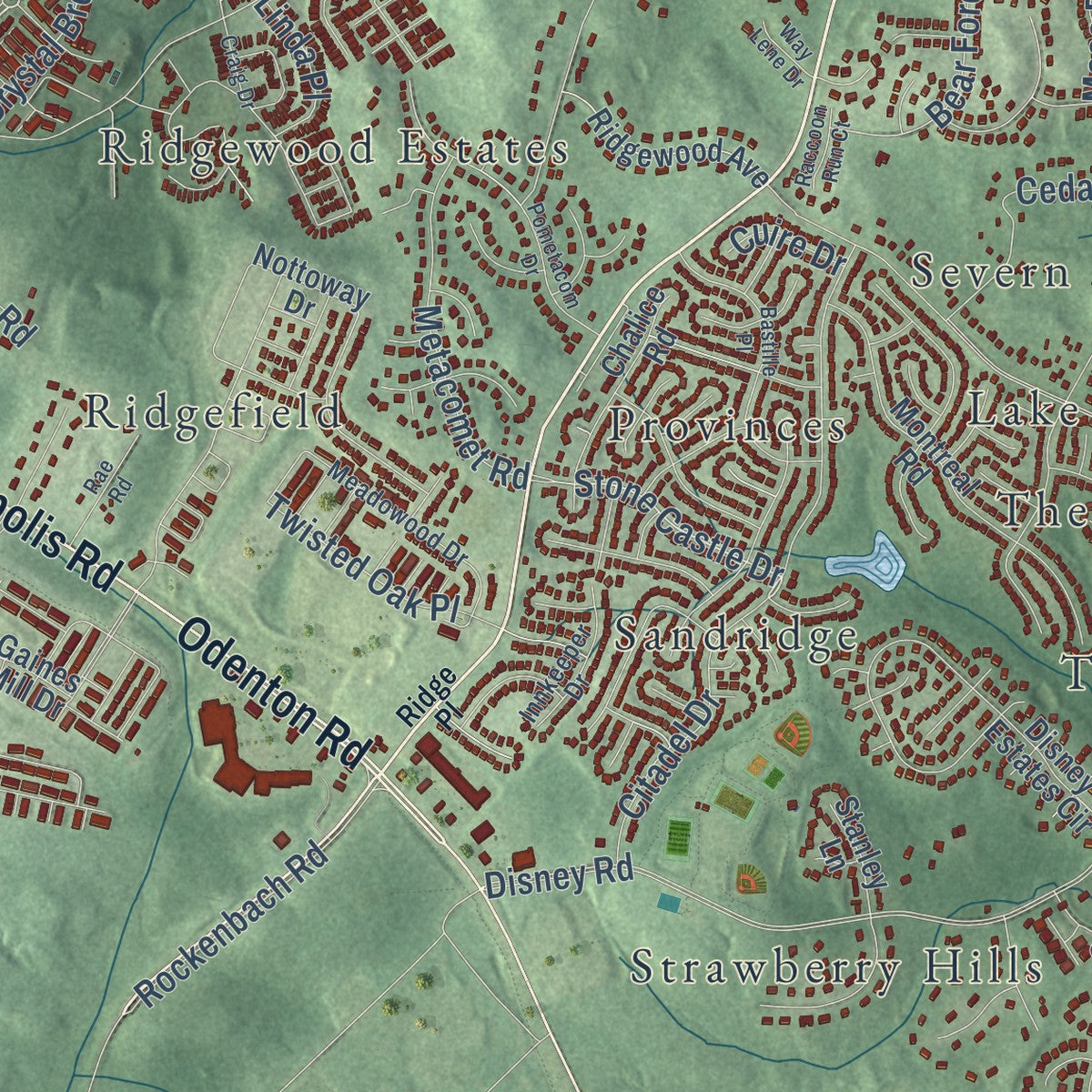
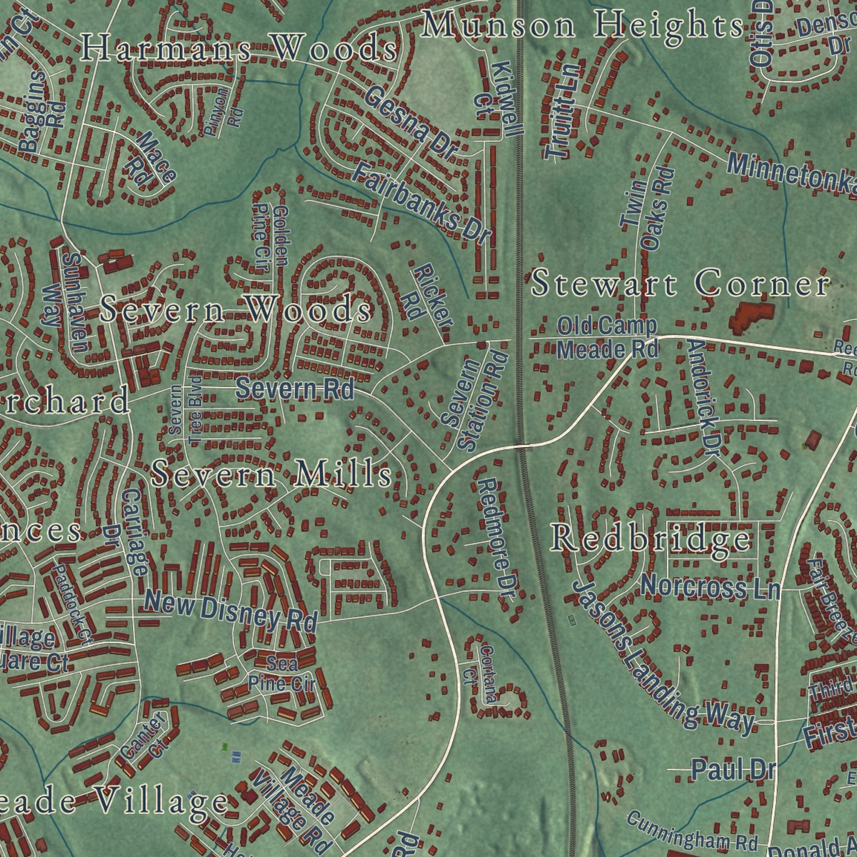
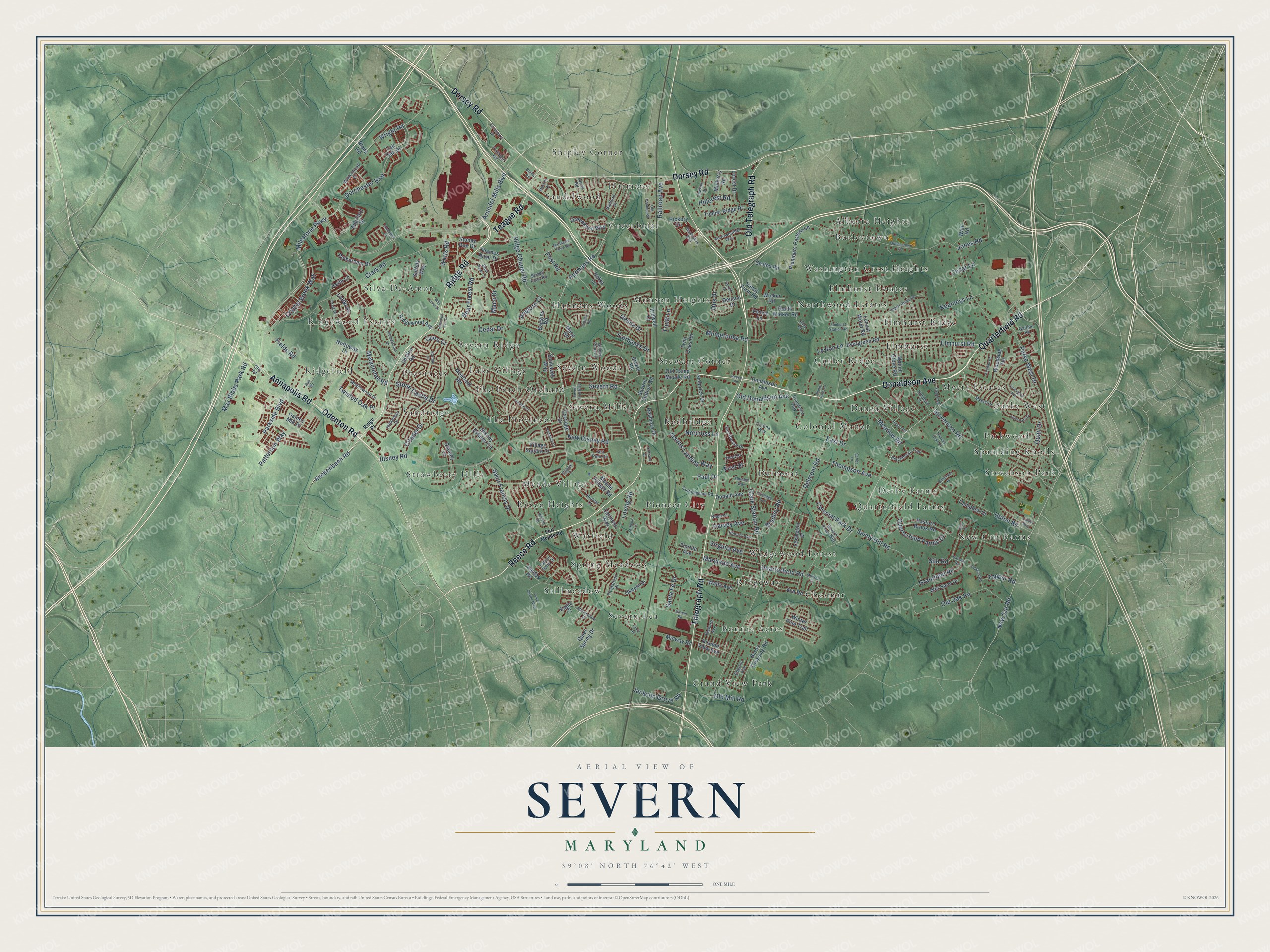
Explore Severn, Maryland from a whole new perspective. Created using aerial imagery and detailed geographic data, this map captures Severn building by building, with labeled streets, familiar landmarks, and shaded topographical relief that highlights the natural contours of the landscape.
Combining modern data with the timeless character of a vintage atlas, this map is just as interesting up close as it is beautiful on the wall. Whether you grew up in Severn, spent memorable years there, or call it home today, this unique map is a great way to celebrate a place that means something to you. Zoom in on the preview to look for your street, and then order a print to put your memories on the wall.
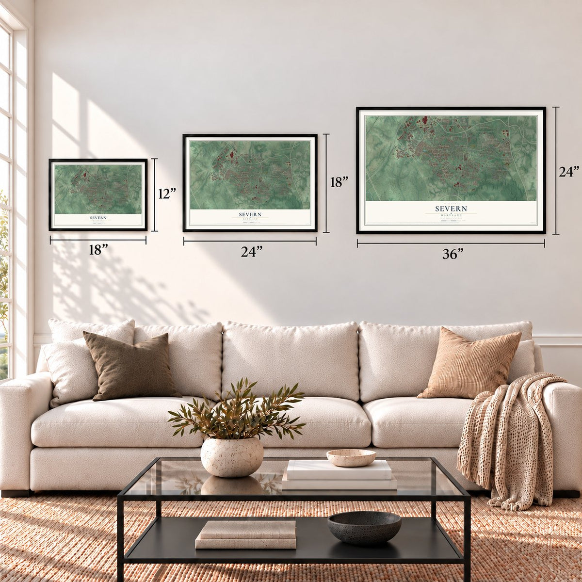
Three ways to hang it
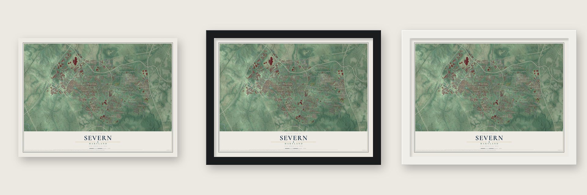
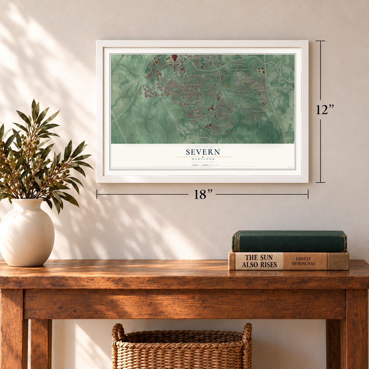
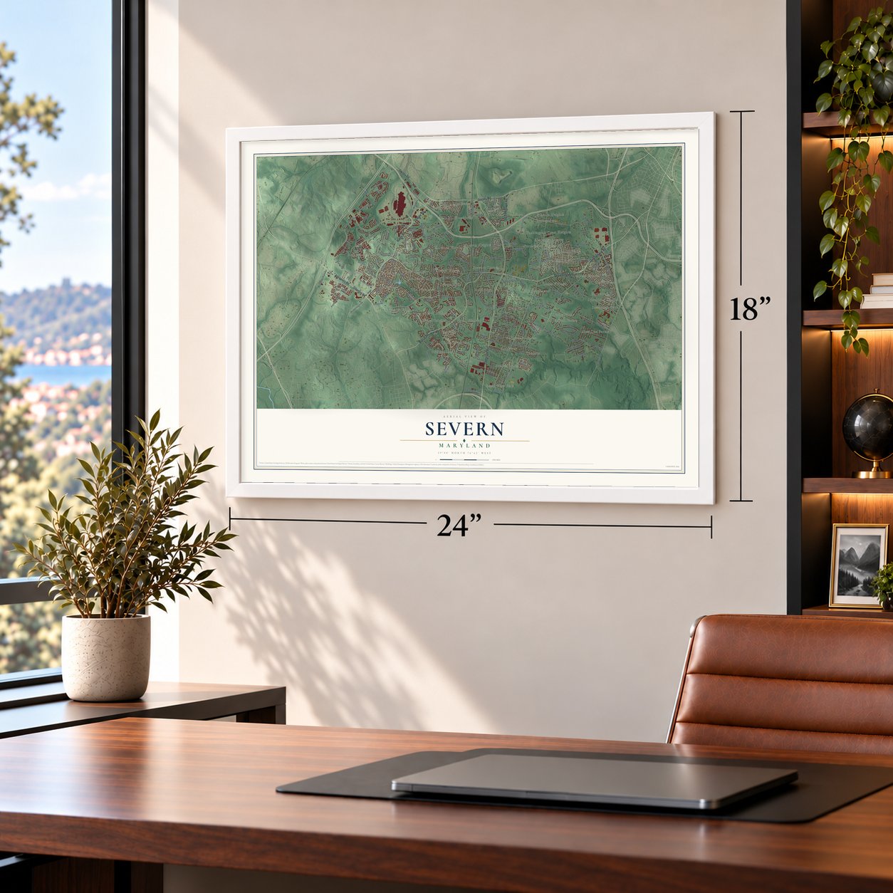
Unframed archival matte, a black wood frame or a white wood frame.
Up close
Geography Worth Displaying
This map was created using accurate cartographic data and authoritative geographic sources, including the U.S. Geological Survey and the Census Bureau. The map brings together terrain, waterways, roads, and building detail. The majority of the streets are labeled, houses are accurately depicted, and the topography is derived from government sources. Combining local data with carefully composed color and shading leads to this beautifully detailed Severn artwork for your wall.
Rather than simply showing street outlines, we’ve included as many of the street names as we could reasonably fit on the map while keeping their names legible. Zoom in on the high resolution preview to see exactly what’s on the map. We truly set out to create a statement piece for anyone who loves Severn. So whether it’s for you, or a gift for someone you love, we hope this map of Severn brings back fond memories.
Read the story behind this map of Severn, Maryland from 2026.
Find your street
Names on the Severn map
Every name below is printed on this map. Look for your street, your school, the park where you played, or the pond down the road.
Places and landmarks51
- Grand View Park
- Ridgefield
- Harmans
- New Cut Farms
- Chesmar
- Meade Village
- Cutler Ridge
- Severn Ridge
- Spaulding Knolls
- Burleytown
- Stillmeadow
- Shipley Corner
Show all 51 places
- Strawberry Hills
- Washington Crest Heights
- Munson Heights
- Harmans Woods
- Elmhurst
- Bonnie Acres
- Delmont
- Redbridge
- Reece Heights
- Quarterfield Farms
- Silva-De-Amor
- The Provinces
- Colonial Manor
- Sandalwood
- Ridgeway
- Provinces
- Stewart Corner
- Myers Estates
- Severn Woods
- Greenbriar
- Severn Mills
- Spring Meadows
- Severn Lea
- Parkwood
- Sandridge
- Wedgewood Forest
- Northwood Estates
- Elmhurst Ridge
- Ridgewood Estates
- Lake Village
- Parke West
- Danza Village
- Warfield
- Derby Farms
- Pioneer City
- Elmhurst Estates
- Stevenson Park
- The Peach Orchard
- Alberta Heights
Streets and roads222
- Ridge Road
- Donaldson Avenue
- Quarterfield Road
- Telegraph Road
- Dorsey Road
- Reece Road
- Annapolis Road
- Odenton Road
- Old Telegraph Road
- Teague Road
- Disney Road
- Milestone Parkway
- Harmans Road
- Clark Station Road
- New Cut Road
- Dorchester Boulevard
- Elmhurst Road
- Wright Road
- Stevenson Road
- Citadel Drive
- Stone Castle Drive
- Arundel Mills Boulevard
- Severn Road
- Clark Road
- Parkside Boulevard
- Thompson Avenue
- New Disney Road
- Delmont Road
- Old Oak Road
- Ridge Chapel Road
Show all 222 streets
- Upton Road
- Quarterfield Farms Drive
- Cedar Drive
- Gesna Drive
- Grainfield Road
- Parke West Drive
- Otis Drive
- Max Blobs Park Road
- Jasons Landing Way
- Minnetonka Road
- Jones Road
- Colonial Park Drive
- Meadow Road
- Saint Francis Drive
- Bear Forest Road
- Metacomet Road
- Crystal Brook Way
- Sandy Hill Road
- Fairbanks Drive
- Rockenbach Road
- First Street
- Patterson Way
- Maryland Avenue
- Old Donaldson Avenue
- Jackson Grove Road
- Virginia Avenue
- Cedar Lane
- Watts Road
- Maco Drive
- Twisted Oak Place
- Loving Road
- Santa Fe Drive
- Railroad Avenue
- Old Mill Road
- Harvey Avenue
- Silo Road
- Tepper Road
- Bradley Road
- Fields Road
- Hillcrest Road
- Post Road
- Quail Drive
- Kearneys Lane
- Norcross Lane
- Aragorn Court
- Linda Place
- Leyton Lane
- Paul Drive
- Cuire Drive
- Truitt Lane
- East Drive
- Carriage Drive
- Smiths Road
- Village Square Court
- Evergreen Road
- Jacobs Road
- Pasture Brook Road
- Burns Crossing Road
- Nottoway Drive
- Disney Estates Circle
- Montreal Road
- Stoney Run Drive
- Sandy Farm Road
- Rotherham Drive
- Plumbers Pasture Lane
- Locust Wood Road
- Severn Station Road
- Wieker Road
- Fair Oak Drive
- Ava Road
- Okeefe Drive
- Watts Avenue
- Twin Oaks Road
- Woodside Terrace
- Allerford Drive
- Andorick Drive
- Timber Ridge Drive
- Carinoso Way
- Ridgewood Avenue
- Chalice Road
- Hickory Circle
- South Wieker Road
- Greenknoll Boulevard
- Grande View Avenue
- Campbell Drive
- Sunhaven Way
- Florida Avenue
- Lexington Drive
- Walnut Grove Road
- Donald Avenue
- Venice Lane
- Wet Sand Drive
- Locust Drive
- Old Camp Meade Road
- Baggins Road
- Keith Lane
- Winter Pine Trail
- Meade Village Road
- Gaines Mill Drive
- Redmore Drive
- Thames River Drive
- Midway Road
- Wahl Road
- Kidwell Court
- Hekla Lane
- Denson Drive
- Mulberry Road
- Suffolk Way
- Quiet Spring Drive
- Stanley Lane
- Ricker Road
- Mace Road
- Blobs Road
- Eagle Court
- Sea Pine Circle
- Myers Drive
- Fitzpatrick Drive
- Meadowood Drive
- Golden Pine Circle
- Trafalgar Circle
- Innkeeper Drive
- Bear Paw Lane
- Richard Avenue
- Blackhorse Trail
- Hubbard Lane
- Fair Breeze Drive
- Merriweather Way
- Cunningham Road
- Maidenhead Drive
- Hollow Court
- Leeds Road
- Grandison Way
- Hanford Drive
- Illinois Avenue
- Falcon Point Drive
- Edelton Avenue
- Severn Pines Way
- Sewell Farm Road
- Canter Court
- Coventry Drive
- Gaither Road
- Third Street
- Napa Court
- Old Road
- Cortina Way
- Ridge Place
- Fort Meade Road
- Queenstown Road
- Poplar Grove Road
- Severn Tree Boulevard
- Covington Avenue
- Stillmeadow Drive
- Lasalle Place
- Craig Drive
- Pometacom Drive
- Hyde Park Drive
- Bastille Place
- Hawkins Drive
- Matthews Town Road
- Danza Road
- Grimm Road
- Old Coaling Road
- Somerton Court
- Coolidge Avenue
- Town Center Boulevard
- Buckingham Boulevard
- Crest Road
- Theresa Rose Lane
- Steven Road
- Battersea Place
- Riviera Drive
- Rae Road
- Athena Lane
- Paddock Court
- Keenan Road
- Teppers Road
- Gerald Drive
- Riley Road
- Cortana Court
- Pinyon Road
- Moraine Drive
- Elmhurst Station Road
- Mildred Place
- Elbridge Way
- Silo Court
- Scriba Lane
- Raccoon Run Court
- Harvest Road
- Phelps Farm Lane
- Way Lene Drive
- Calder Way
- Bruley Road
Names are listed as they appear on the printed map. Zoom into the product photos to find them.
About Severn, Maryland
Severn is a community of 57,118 people in northwestern Anne Arundel County, with Glen Burnie on its east side and Fort George G. Meade on its west. It grew by 22.6% in ten years, up from 44,231 people in 2010. Part of its southern edge follows the Severn River above the point where the tide reaches.
- Queenstown Rosenwald School, 1932Oscar Gaither gave the land for this school, which opened in 1932 as one of the final two Rosenwald schools in Anne Arundel County. These schools were built with help from a fund set up by Julius Rosenwald, the Chicago businessman behind the growth of Sears, Roebuck and Company. In 1973 the school board planned to sell the building to a developer. Neighbors objected, and the Severn Improvement Association made it a community center instead.
- Home of the BraxtonsSevern has been home to the Braxton family of singers: the sisters Tamar, Toni, Towanda, Traci and Trina, and their brother Michael. The five sisters were the stars of Braxton Family Values, a TV series about their lives.
- Poker runner-up in 2005Steve Dannenmann, an accountant from Severn, became famous when he finished second at the 2005 World Series of Poker.
- Miss Maryland 2003Marina Harrison of Severn was crowned Miss Maryland in 2003 and went on to win Miss Maryland USA in 2005.
Keep exploring Maryland
Severn is one of 874 Maryland towns we've mapped. Every dot on the map is a print of its own.
The search covers every state, Maryland first.
Near Severn
Order 2 or more town maps and save 10%. Shown in the size and finish you picked above, so they hang as a set.
- Fort Meade 12" x 18" / Archival Matte Print $39.99
- Hanover Hills 12" x 18" / Archival Matte Print $39.99
- Gambrills 12" x 18" / Archival Matte Print $39.99


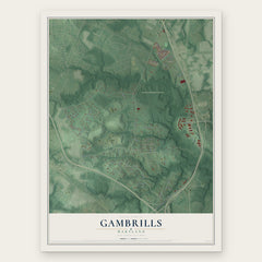
More maps nearby: Jessup, Odenton, Elkridge, Ferndale and Glen Burnie.
The art of mapping a place
How This Map Was Made
Real places. Remarkable detail. Discover the layers that turn geographic data into a map of home.

The view from above
Aerial imagery reveals the character of the land: woodland, open fields, and the patterns of a place.

The shape of the land
Elevation data brings hills, valleys, and subtle changes in the landscape into view.

The details of home
Roads, waterways, and building footprints come together to make the map feel unmistakably local.

Geography becomes art
Considered color, shading, and typography bring the layers together in a map made for your wall.


Process illustrated with Mendon, Massachusetts. Aerial imagery: USDA NAIP. Terrain: USGS 3D Elevation Program. Map details and finished artwork: KNOWOL.
The Details
About This Print
Choose an archival matte print, or a black or white Ayous wood frame. The archival matte print is unframed.
Select your size and finish above to see the matching product image and price.
Materials & Craftsmanship
A contemporary map with the character of a classic atlas, printed on archival matte paper. Optional frames are made from Ayous wood.
Your printed map does not include the watermark shown in the full-map preview.
Shipping & Delivery
Free shipping within the United States. Every print is made to order in the USA.
Buying a gift? Add a note in your cart and we'll include it. We never put prices in the package.
Prints ship within 2 to 3 business days. Allow 7 to 10 days total from ordering for delivery. Timing may vary during holidays or periods of high order volume.
Read our shipping policy.
Returns and damaged prints
Each print is made to order. Change-of-mind refunds are not available after production.
If your print arrives damaged, misprinted or incorrect, contact support@knowol.com within 30 days of receiving it. Include your order number, photos and a description of the issue.
Read our full refund and replacement policy. For questions about your order, email support@knowol.com.