
Search for another town
Free U.S. delivery 7 to 10 days after you order
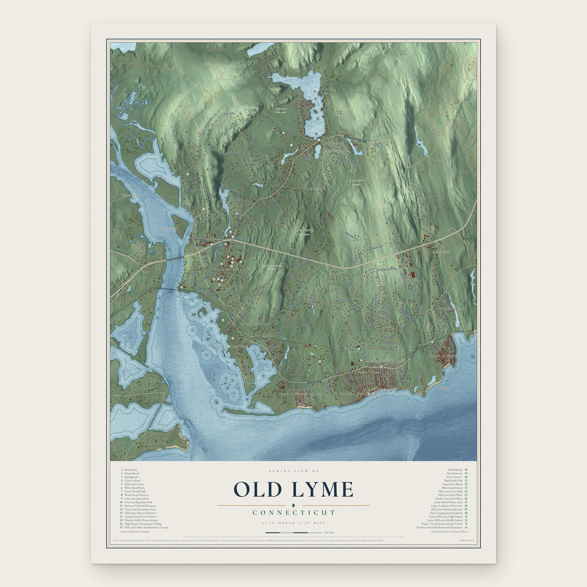
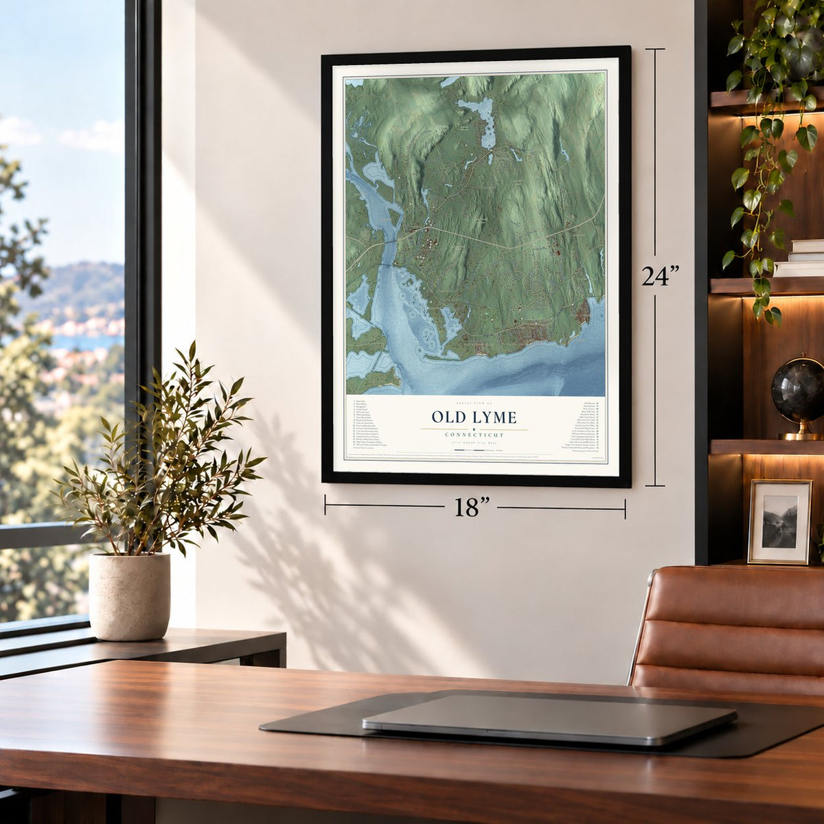
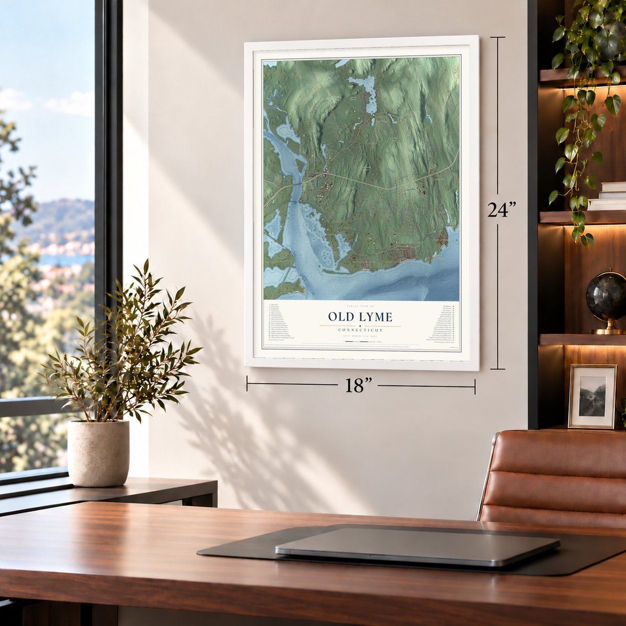
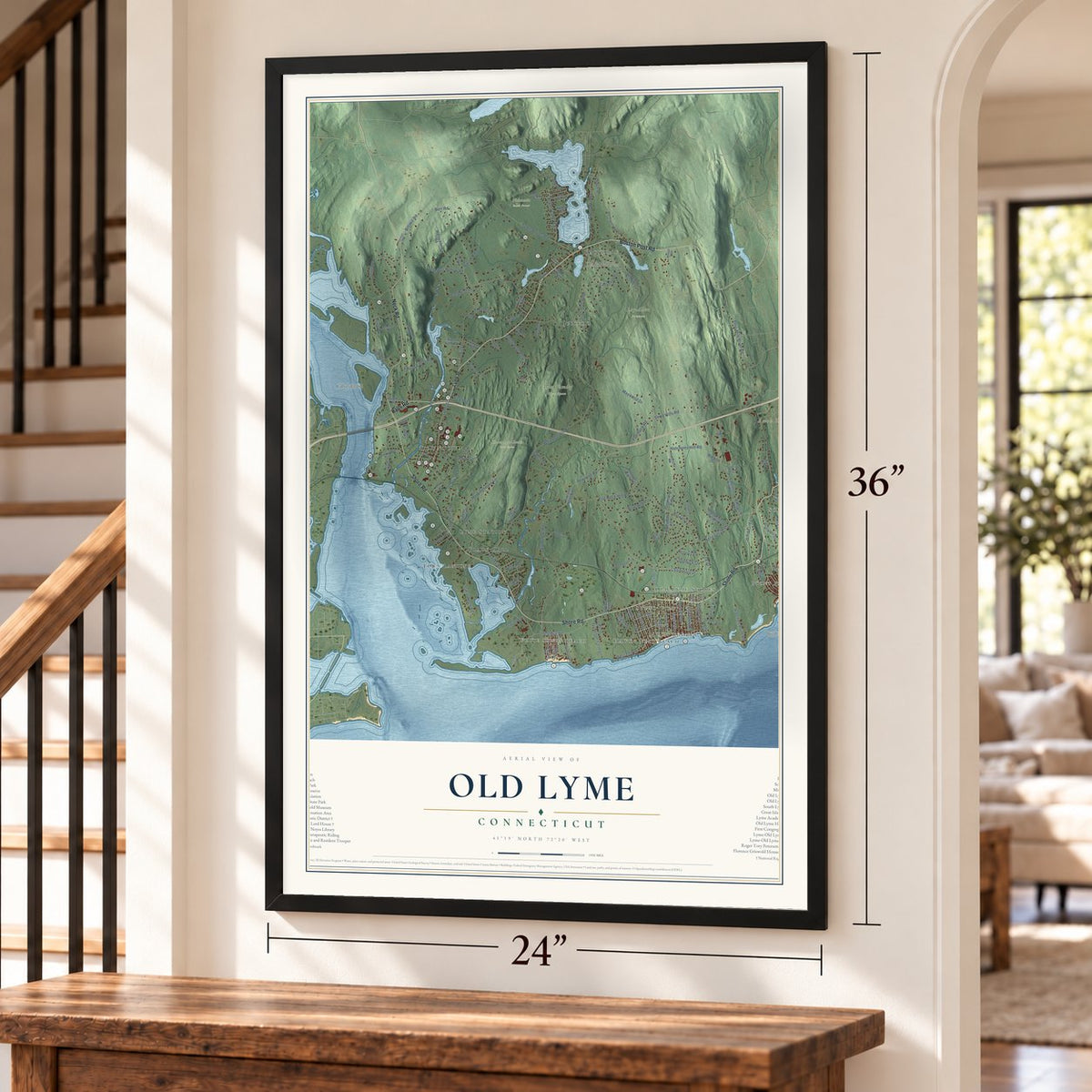
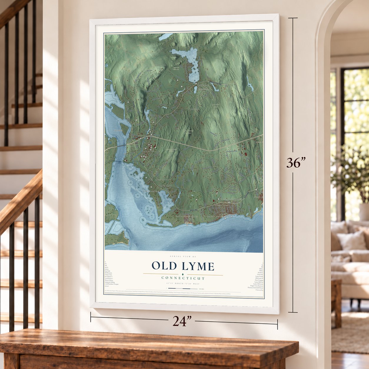
Old Lyme, Connecticut Map Art
Building by building, with labeled streets and shaded relief.
12" x 18" Archival Matte Print
A Map of Home. A Work of Art.
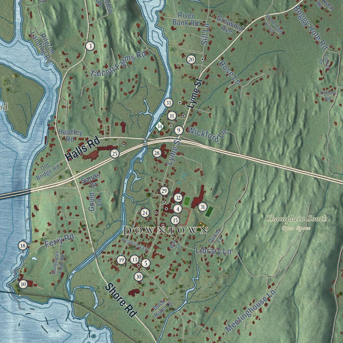
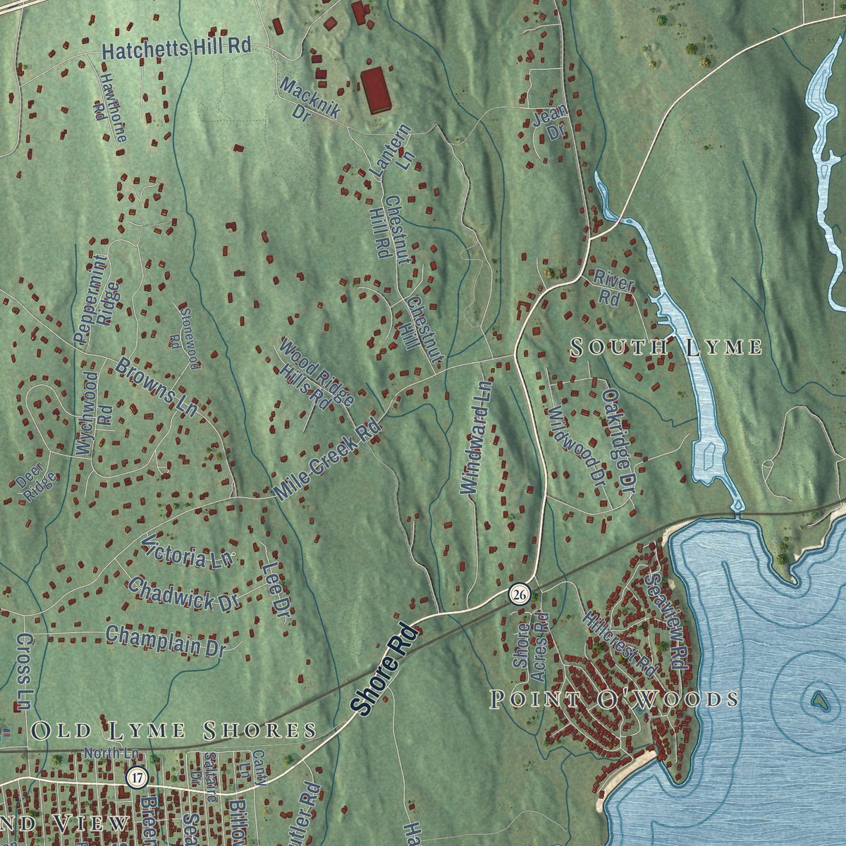
Explore Old Lyme, Connecticut from a whole new perspective. Created using aerial imagery and detailed geographic data, this map captures Old Lyme building by building, with labeled streets, familiar landmarks, and shaded topographical relief that highlights the natural contours of the landscape.
Combining modern data with the timeless character of a vintage atlas, this map is just as interesting up close as it is beautiful on the wall. Whether you grew up in Old Lyme, spent memorable years there, or call it home today, this unique map is a great way to celebrate a place that means something to you. Zoom in on the preview to look for your street, and then order a print to put your memories on the wall.

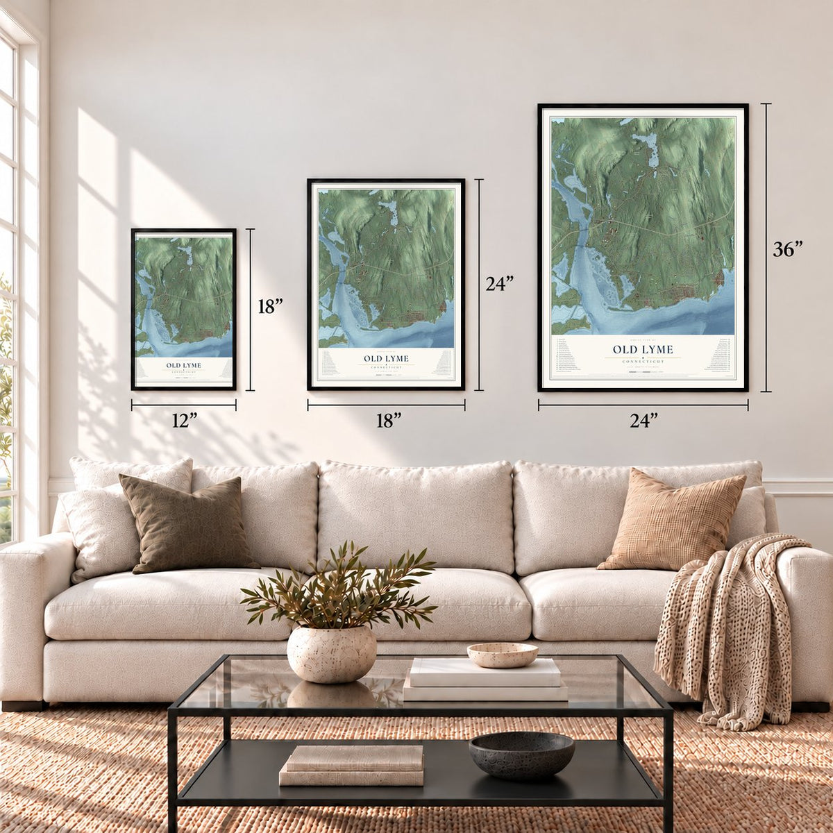
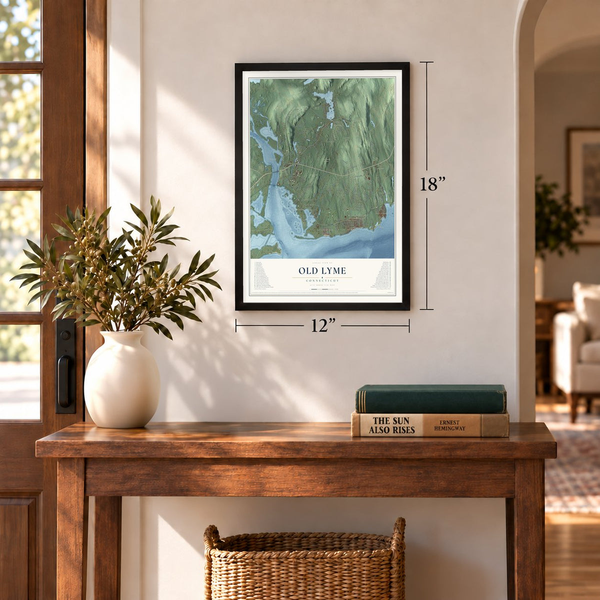
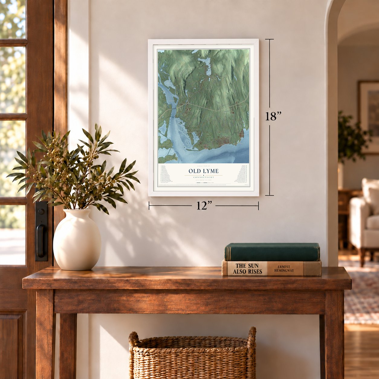
Three ways to hang it
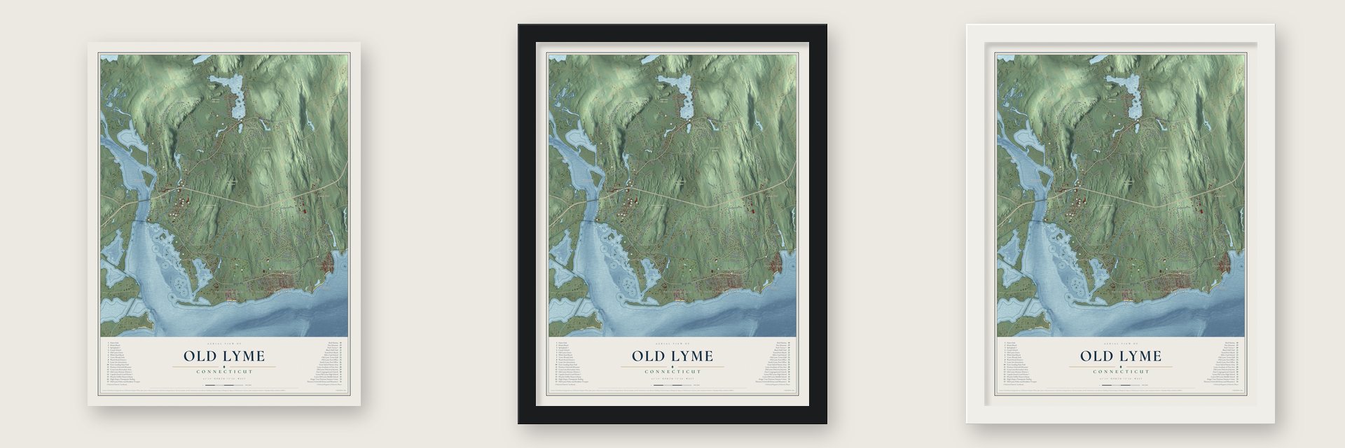
Unframed archival matte, a black wood frame or a white wood frame.
Up close
Geography Worth Displaying
This map was created using accurate cartographic data and authoritative geographic sources, including the U.S. Geological Survey (USGS) and FEMA. The map brings together terrain, waterways, roads, and building detail. The majority of the streets are labeled, houses are accurately depicted, and the topography is derived from government sources. Combining local data with carefully composed color and shading leads to this beautifully detailed Old Lyme artwork for your wall.
Rather than simply showing street outlines, we’ve included as many of the street names as we could reasonably fit on the map while keeping their names legible. Zoom in on the high resolution preview to see exactly what’s on the map. We truly set out to create a statement piece for anyone who loves Old Lyme. So whether it’s for you, or a gift for someone you love, we hope this map of Old Lyme brings back fond memories.
Explore the full map of Old Lyme, Connecticut and read about the local places it shows.
Find your street
Names on the Old Lyme map
Every name below is printed on this map. Look for your street, your school, the park where you played, or the pond down the road.
Places and landmarks23
- Downtown
- Point O'Woods
- Amon Hill
- Ayers Point
- Bills Hill
- Calves Island
- Big Pond
- Black Hall Pond
- Ames Family Open Space
- Champlain South Open Space
- Lay-Allen Preserve
- Nehantic State Forest
Show all 23 places
- White Sands Beach
- Sound View
- Lyme Station
- South Lyme
- Jericho
- Old Lyme Shores
- Town Landing
- Miami Shores
- Hawks Nest Beach
- Black Hall
- Laysville
Streets and roads141
- Boston Post Road
- Shore Road
- Neck Road
- Halls Road
- Lyme Street
- Sea Spray Road
- Four Mile River Road
- McCurdy Road
- Mile Creek Road
- Whippoorwill Road
- Sill Lane
- Buttonball Road
- Hatchetts Hill Road
- Flat Rock Hill Road
- Short Hills Road
- Town Woods Road
- Boggy Hole Road
- Meetinghouse Lane
- Ferry Road
- Jericho Drive
- Browns Lane
- Saunders Hollow Road
- Old Shore Road
- Rowland Road
- Grassy Hill Road
- Hatchett Point Road
- Coult Lane
- Smith Neck Road
- Rogers Lake Trail
- Maywood Drive
Show all 141 streets
- Oakridge Drive
- Windward Lane
- Talcott Farms Road
- Champlain Drive
- Library Lane
- Groton Street
- Wickford Lane
- Swan Avenue
- West End Drive
- Billow Road
- Finnegan Farm Lane
- Burr Road
- Chadwick Drive
- Shore Drive
- Breen Avenue
- Cross Lane
- Osprey Road
- Ladyslipper Lane
- Bill Hill Road
- Flat Rock Road
- Longacre Lane
- Seaview Road
- Bailey Road
- Cutler Road
- Briar Hill Drive
- Pine Road
- Victoria Lane
- Coach Drive
- Rose Lane
- Noyes Road
- Lee Drive
- Jadon Drive
- Chestnut Hill Road
- Rowland Road No 1
- Johnny Cake Hill Road
- Mansewood Road
- Lords Meadow Lane
- Peppermint Ridge
- Hillcrest Road
- Wychwood Road
- Binney Road
- Matson Ridge
- Corsino Avenue
- Hillside Road
- Pilgrim Landing Road
- Moore Avenue
- Wildwood Drive
- Brighton Road
- Shore Acres Road
- Riverview Drive
- Wood Ridge Hills Road
- Gould Lane
- Ben Franklin Road
- Mill Pond Lane
- Macknik Drive
- Somerset Lane
- River Bank Road
- Otter Rock Road
- Thomas Waite Road
- Huntley Road
- Griswold Avenue
- Dogwood Drive
- Dennis Road
- Chestnut Hill
- Littlefield Drive
- Robbin Avenue
- Jean Drive
- Sands Drive
- Apple Tree Drive
- Lantern Lane
- River Road
- High Street
- North Lane
- Prospect Street
- Springfield Road
- Saltaire Drive
- Portland Avenue
- Person Road
- Edge Lea Road
- Old Stagecoach Road
- Landing Road
- Haywagon Drive
- Cedar Hollow Drive
- New Britain Road
- Clifton Street
- Hawthorne Road
- Ledgewood Drive
- Lone Pine Trail
- Old Bridge Road
- Pin Oak Trail
- Wolcott Lane
- Blackwell Road
- Dunns Lane
- Duck River Lane
- Canty Lane
- Mill Lane
- Nicaja Way
- Deer Ridge
- Griswold Point
- Craig Road
- Stonewood Road
- Sandpiper Point Road
- Whippletree Lane
- Academy Lane
- Stoneleigh Knoll
- Sunset Drive
- Laurel Drive
- Tisbury Road
- Knutson Road
- Joel Road
- Ball Lane
Names are listed as they appear on the printed map. Zoom into the product photos to find them.
About Old Lyme, Connecticut
Old Lyme is a town of 7,628 people in New London County, at the mouth of the Connecticut River on Long Island Sound. In 1645 Matthew Griswold received the land at Black Hall and put up a log house, remembered as the first house in Lyme. Lyme broke away from Saybrook in 1665 with its first center here, and it took its name from Lyme Regis, a small Dorset port that some settlers had left behind. In 1855 the southern part became a separate town called South Lyme, and two years later it renamed itself Old Lyme because it held the oldest-settled ground of the Lymes.
By 1751 wharves and warehouses lined the Lieutenant River for trade with the West Indies, and sea captains built homes along Lyme Street. In 1899 the painter Henry Ward Ranger stayed at Florence Griswold's boardinghouse, and he came back the following year with other artists. Childe Hassam and Willard Metcalf joined them, and the painters left 41 panels on the walls and doors of Miss Florence's house. They opened the Lyme Art Association gallery beside it in 1921, and the house was named a National Historic Landmark in 1993.
“As you proceed from the hotel, 'The Street' springs upon you like a new character in a novel. There is no warning of its nearness until you are among its soft shadows.”
- Tea burned in 1774Shipping merchant John McCurdy bought a house on The Street in 1753. There, in 1765, his friend the minister Stephen Johnson wrote against the Stamp Act, and McCurdy got the piece into the Connecticut Gazette. When a Martha's Vineyard peddler came on March 16, 1774, carrying a hundred pounds of tea, the Sons of Liberty burned it all in a bonfire that night and buried the ashes. Lafayette slept at McCurdy's house during the war and again in 1825.
- Four meetinghousesThe first church was a log building on Meeting-house Hill. Barnabas Tuthill gave a bell in 1754 once a steeple was built for it. In 1780 a watchman fired at woodpeckers in the roof and set it burning, but soldiers put the fire out. Lightning destroyed that church in 1815, and Samuel Belcher's new one rose in 1817. It burned in 1907, and the replica finished in 1913 is the church Childe Hassam made famous.
- Washington at Peck TavernJohn Peck bought the tavern at Sill Lane and the Boston Post Road about 1769, and travelers on the post road made it a busy stop. George Washington stopped in April 1776 while riding from Boston to New York. The old taproom remains today, along with the tavern's original sign from the 1700s.
- The Red House at Lord's CoveIn 1648 William Lord, one of the Saybrook Colony's leaders, got land along Lord's Cove. About 1748 his descendant Enoch Lord built the Red House on that family land. In the 1860s it was moved to its present spot above the cove, and the Capt. Enoch Lord House joined the National Register in 2007.
- Lyme disease, 1975In 1975 doctors looked into a puzzling illness that looked like juvenile rheumatoid arthritis in children of Lyme and Old Lyme. What they found became known as Lyme disease, named for the town.
Keep exploring Connecticut
Old Lyme is one of 375 Connecticut towns we've mapped. Every dot on the map is a print of its own.
The search covers every state, Connecticut first.
Near Old Lyme
Order 2 or more town maps and save 10%. Shown in the size and finish you picked above, so they hang as a set.
- Old Saybrook Center 12" x 18" / Archival Matte Print $39.99
- Fenwick 12" x 18" / Archival Matte Print $39.99
- Old Saybrook 12" x 18" / Archival Matte Print $39.99
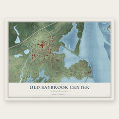
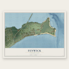
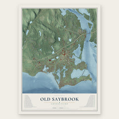
More maps nearby: East Lyme, Essex Village, Niantic, Saybrook Manor and Flanders.
The art of mapping a place
How This Map Was Made
Real places. Remarkable detail. Discover the layers that turn geographic data into a map of home.

The view from above
Aerial imagery reveals the character of the land: woodland, open fields, and the patterns of a place.

The shape of the land
Elevation data brings hills, valleys, and subtle changes in the landscape into view.

The details of home
Roads, waterways, and building footprints come together to make the map feel unmistakably local.

Geography becomes art
Considered color, shading, and typography bring the layers together in a map made for your wall.


Process illustrated with Mendon, Massachusetts. Aerial imagery: USDA NAIP. Terrain: USGS 3D Elevation Program. Map details and finished artwork: KNOWOL.
The Details
About This Print
Choose an archival matte print, or a black or white Ayous wood frame. The archival matte print is unframed.
Select your size and finish above to see the matching product image and price.
Materials & Craftsmanship
A contemporary map with the character of a classic atlas, printed on archival matte paper. Optional frames are made from Ayous wood.
Your printed map does not include the watermark shown in the full-map preview.
Shipping & Delivery
Free shipping within the United States. Every print is made to order in the USA.
Buying a gift? Add a note in your cart and we'll include it. We never put prices in the package.
Prints ship within 2 to 3 business days. Allow 7 to 10 days total from ordering for delivery. Timing may vary during holidays or periods of high order volume.
Read our shipping policy.
Returns and damaged prints
Each print is made to order. Change-of-mind refunds are not available after production.
If your print arrives damaged, misprinted or incorrect, contact support@knowol.com within 30 days of receiving it. Include your order number, photos and a description of the issue.
Read our full refund and replacement policy. For questions about your order, email support@knowol.com.