
Search for another town

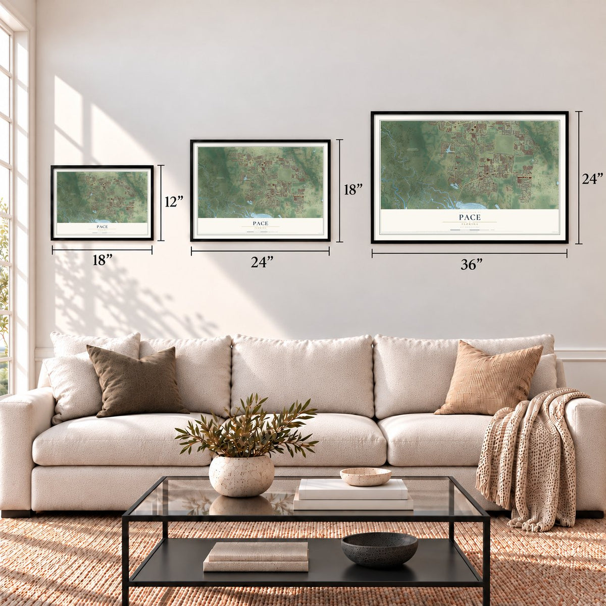

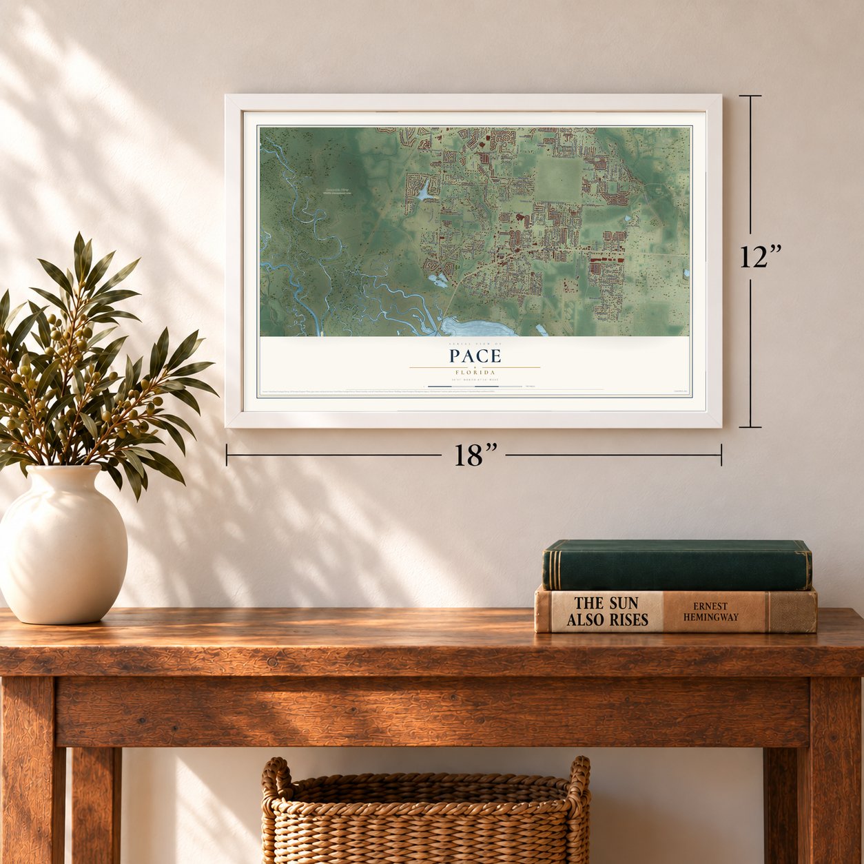

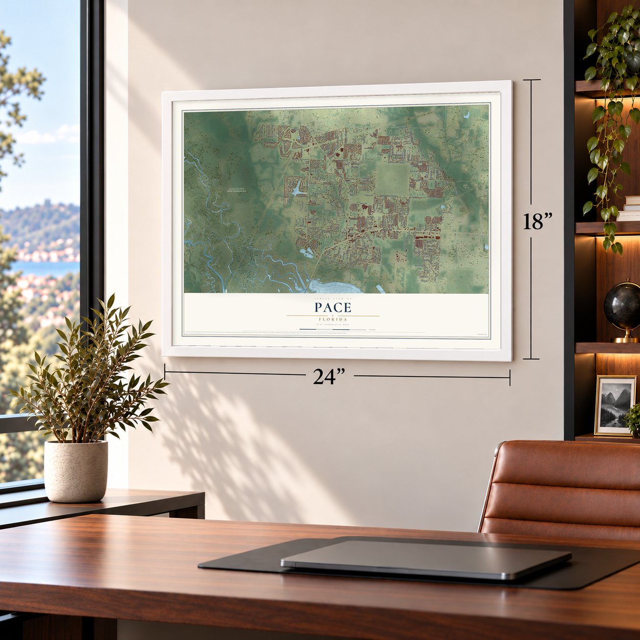

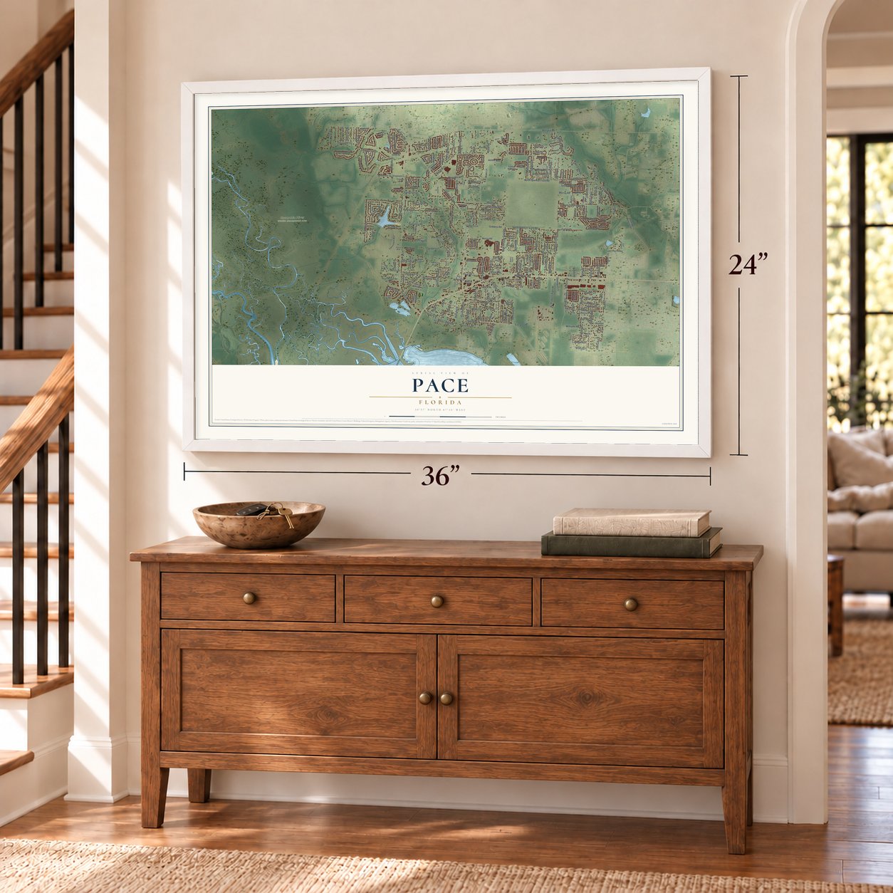
Free U.S. delivery 7 to 10 days after you order
Pace, Florida Map Art
Building by building, with labeled streets and shaded relief.
12" x 18" Archival Matte Print
A Map of Home. A Work of Art.
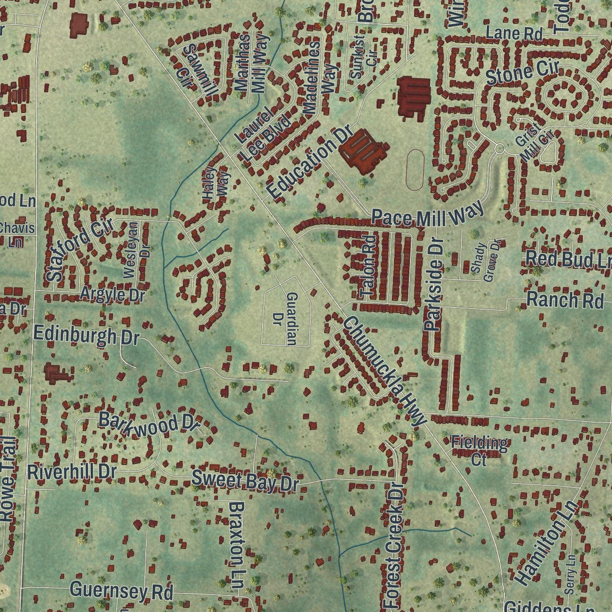
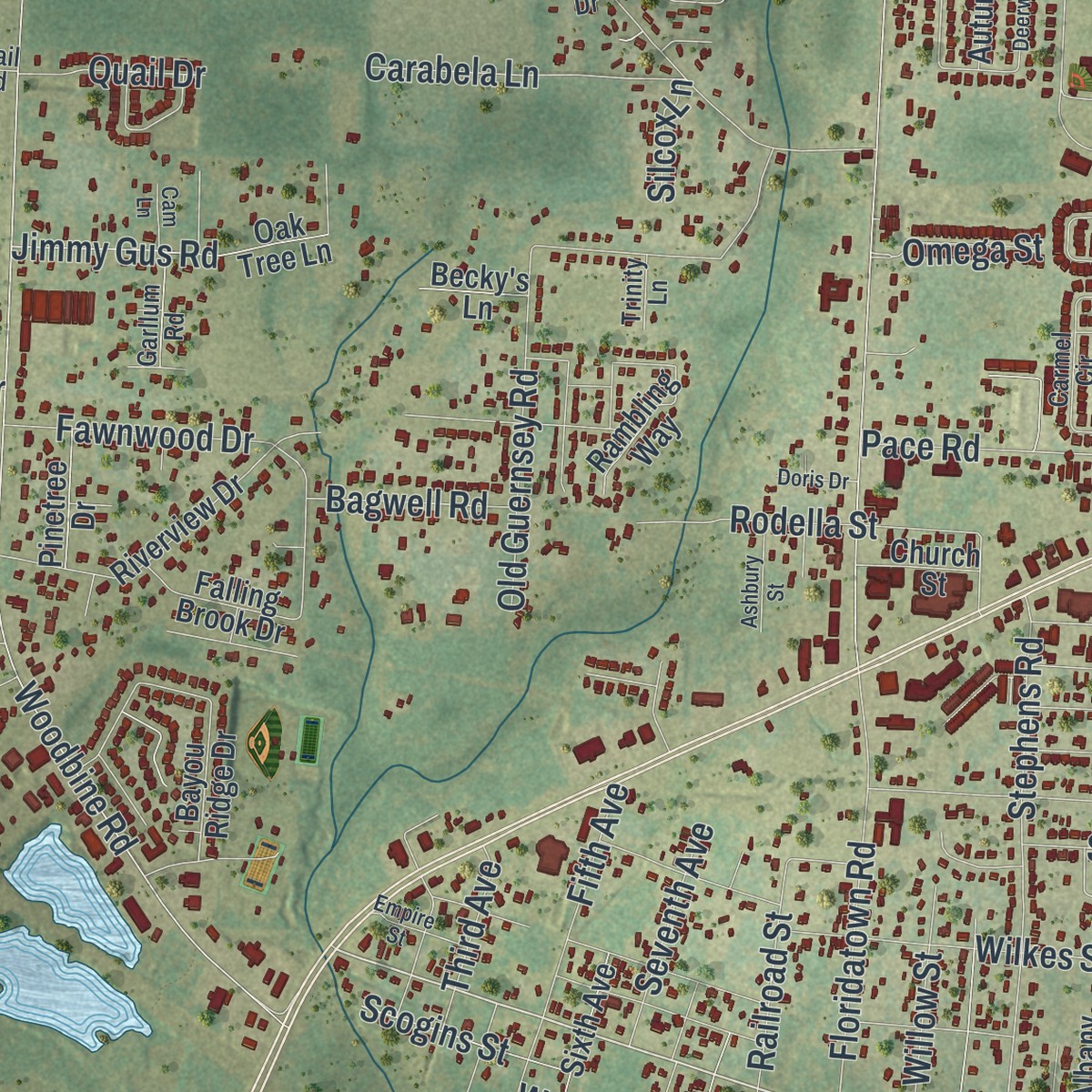
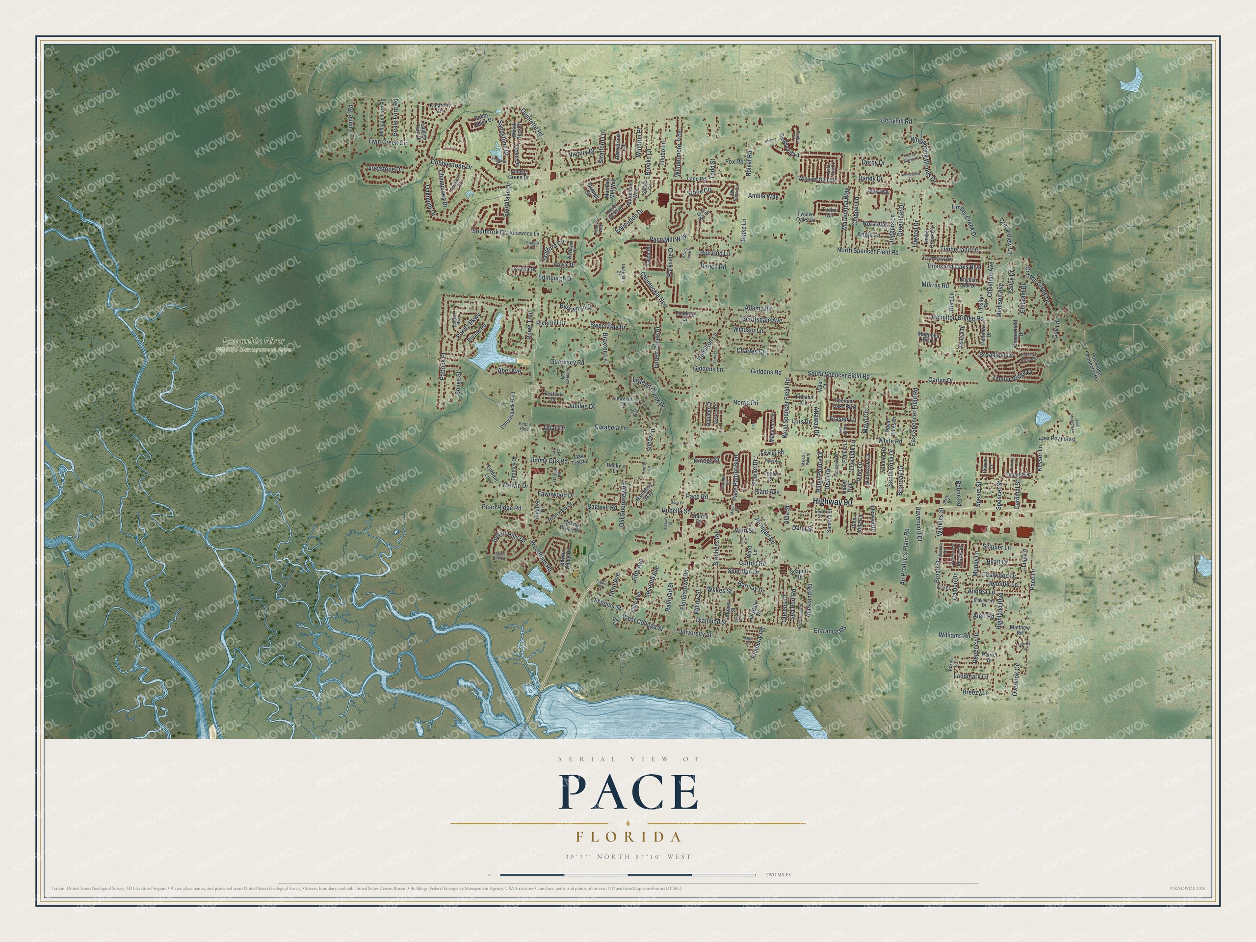
Explore Pace, Florida from a whole new perspective. Created using aerial imagery and detailed geographic data, this map captures Pace building by building, with labeled streets, familiar landmarks, and shaded topographical relief that highlights the natural contours of the landscape.
Combining modern data with the timeless character of a vintage atlas, this map is just as interesting up close as it is beautiful on the wall. Whether you grew up in Pace, spent memorable years there, or call it home today, this unique map is a great way to celebrate a place that means something to you. Zoom in on the preview to look for your street, and then order a print to put your memories on the wall.
Three ways to hang it
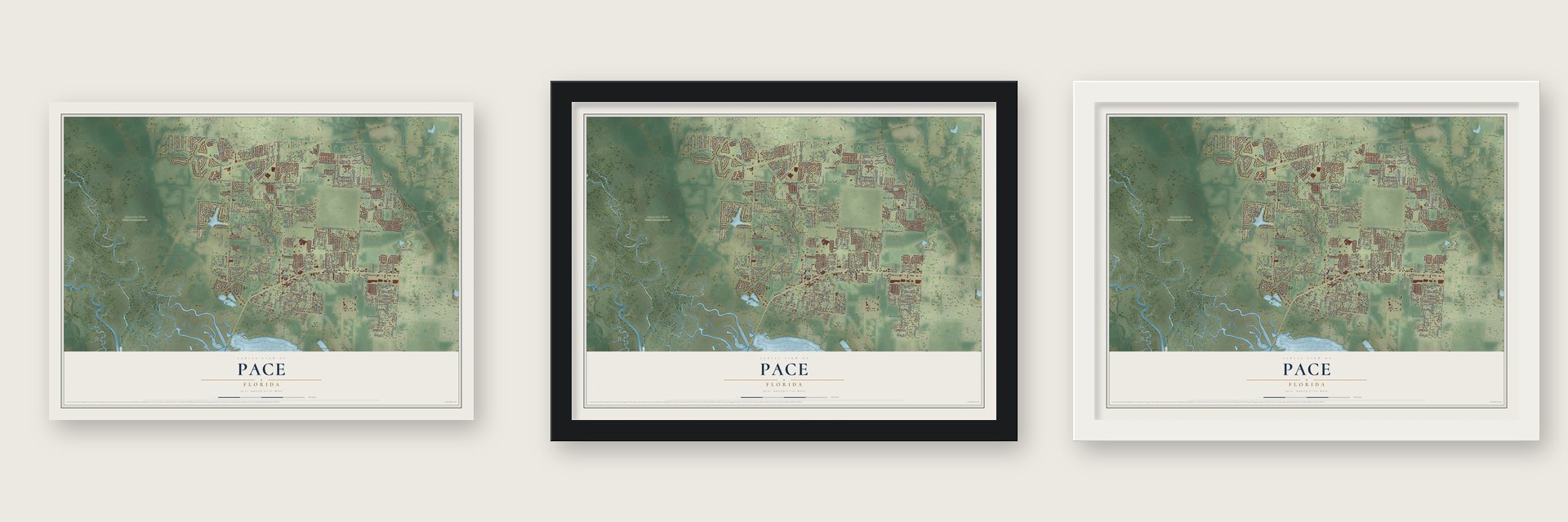
Unframed archival matte, a black wood frame or a white wood frame.
Up close
Geography Worth Displaying
This map was created using accurate cartographic data and authoritative geographic sources, including the U.S. Geological Survey and the Census Bureau. The map brings together terrain, waterways, roads, and building detail. The majority of the streets are labeled, houses are accurately depicted, and the topography is derived from government sources. Combining local data with carefully composed color and shading leads to this beautifully detailed Pace artwork for your wall.
Rather than simply showing street outlines, we’ve included as many of the street names as we could reasonably fit on the map while keeping their names legible. Zoom in on the high resolution preview to see exactly what’s on the map. We truly set out to create a statement piece for anyone who loves Pace. So whether it’s for you, or a gift for someone you love, we hope this map of Pace brings back fond memories.

Find your street
Names on the Pace map
Every name below is printed on this map. Look for your street, your school, the park where you played, or the pond down the road.
Places and landmarks1
- Escambia River Wildlife Management Area
Streets and roads283
- Highway 90
- Diamond Street
- University Street
- Education Drive
- Entrance Road
- West College Street
- Pace Lane
- Timber Ridge Drive
- Timberland Drive
- Dana Street
- Woodbine Road
- Chumuckla Highway
- Berryhill Road
- West Spencer Field Road
- East Spencer Field Road
- Tunnel Road
- Rowe Trail
- Guernsey Road
- Cobblestone Drive
- Hamilton Bridge Road
- Pace Mill Way
- Hamilton Lane
- Carlyn Drive
- North Spencer Field Road
- Greystone Drive
- Twin Creek Circle
- Broad Street
- Watkins Street
- White Road
- South Spencer Field Road
Show all 283 streets
- Adams Road
- Jernigan Road
- Old Guernsey Road
- Stone Circle
- Pace Patriot Boulevard
- Whispering Woods Drive
- Floridatown Road
- Air Products Plant Road
- Charles Circle
- Stephens Road
- Keyser Lane
- Legend Creek Drive
- Abel Avenue
- Stafford Circle
- Spears Street
- Highland Boulevard
- Indian Hills Drive
- Dove Drive
- Wilkes Street
- Pace Road
- Giddens Lane
- Giddens Road
- Norris Road
- Timber Creek Drive
- Cotton Road
- Edinburgh Drive
- Forest Creek Drive
- Mayo Circle
- Blake Lane
- Oakmont Drive
- Southfork Drive
- Fawnwood Drive
- Crystal Creek Drive
- Sweet Bay Drive
- Railroad Street
- Overlook Circle
- Windrun Place
- Southlake Drive
- Landmark Lane
- Tilubo Lane
- Sea Port Road
- Fowler Drive
- Fifth Avenue
- Williams Road
- Pattock Place
- Sandstone Drive
- Rodella Street
- Rolyat Road
- Mundy Lane
- Parkside Drive
- Ponitz Parkway
- Stratford Lane
- Creek View Lane
- Chipper Lane
- Maranatha Way
- Todd Street
- Andrea Lane
- Santa Rosa Drive
- Dean Drive
- Ranch Road
- Attaway Drive
- Windermere Trce
- Riverhill Drive
- Chestnut Avenue
- Barclay Drive
- Thousand Oaks Boulevard
- Barkwood Drive
- Amble Way
- Carabela Lane
- Auckland Road
- Jimmy Gus Road
- Scottsdale Avenue
- Skipper Lane
- Champions Drive
- Inwood Drive
- Pine Lane
- Jubilee Drive
- Live Oak Lane
- Sheridan Drive
- Brooks Lane
- Jennifer Lane
- Derby Drive
- Quintette Road
- Pearl Ridge Road
- Madison Avenue
- Yancy Drive
- Greenleaf Drive
- Ridge Pointe Drive
- Regency Drive
- Victory Drive
- Vern Street
- Windsor Lane
- Hyatt Drive
- Tealwood Drive
- Emerald Drive
- Davenport Court
- Joggers Lane
- Lisa Lane
- Melvin Drive
- Sonya Street
- Queens Court
- Broadleaf Drive
- Beale Ford Road
- Seventh Avenue
- Braxton Lane
- Frasier Lane
- Breezy Lane
- Willow Street
- Scogins Street
- Cardinal Street
- Bagwell Road
- Kimberly Road
- Nora Avenue
- Angie Lane
- Briaroak Drive
- Fox Road
- Omega Street
- Third Avenue
- Quail Drive
- Cameo Drive
- Murray Road
- Lois Drive
- Red Bud Lane
- Burt Lane
- Spencer Street
- Dandy Drive
- Boone Road
- Plant Avenue
- Aleff Road
- Silcox Lane
- Fiske Street
- Alba Street
- Guy Lane
- Winners Gait Circle
- Dupont Circle
- Spencer Oaks Boulevard
- Berrybrook Circle
- Bobby Jones Drive
- English Oak Drive
- Vinewood Lane
- Seaport Road
- Fowler Road
- Makenna Circle
- Tucker Circle
- Madelines Way
- Danbury Boulevard
- Indiana Circle
- Bayou Ridge Drive
- Sawmill Circle
- Riverview Drive
- Oak Tree Lane
- Roland Road
- Pine Villa Circle
- Rambling Way
- Pea Ridge Connector Road
- Copperfield Drive
- Winterdale Drive
- Laurel Lee Boulevard
- Potomac Drive
- Royal Pines Drive
- Sher Ray Forest
- Milligan Ford Road
- Patriot Drive
- English Turn Drive
- Sixth Avenue
- Twelve Oaks Drive
- Canvasback Boulevard
- Jude Way
- Sanford Street
- Wood Duck Drive
- Lane Road
- Argyle Drive
- Albany Street
- Frontier Road
- Joanna Drive
- Oakleaf Drive
- Falling Brook Drive
- Matthew Road
- Bradley Drive
- Trailer Trail
- Ephrem Lane
- Idlewood Drive
- Cooley Drive
- Magnolia Hill Court
- Autumn Drive
- Praline Lane
- Lassiter Road
- Pinetree Drive
- Festival Drive
- Killarney Drive
- Hillsdale Drive
- Valor Court
- Marthas Mill Way
- Talon Road
- Church Street
- Limousin Drive
- Village Green Drive
- Timber Creek Circle
- Fielding Court
- Becky's Lane
- Ward Lane
- Pierce Lane
- Grist Mill Circle
- Sunkist Circle
- Benton Boulevard
- Carmel Circle
- Mill Race Circle
- Firestone Drive
- Roxies Lane
- Winona Lane
- Blakemore Drive
- Wesleyan Drive
- Guardian Drive
- Pintail Boulevard
- Jack Cobb Lane
- Jerry Drive
- Garllum Road
- Conley Court
- Pine Street
- Gold Cup Court
- Haley Way
- Chavis Lane
- Trinity Lane
- Forte Street
- Bill Street
- Estil Drive
- Majestic Palm Street
- Deerwood Circle
- Hazelhurst Drive
- Quiet Meadow Lane
- Pineview Ridge Road
- Indian Hills Circle
- Shady Grove Drive
- Pecanwood Place
- Shane Way
- Heatherwood Way
- Serry Lane
- Polks Avenue
- Amblewood Court
- North Island Road
- Majors Street
- Forest Breeze Court
- Ashbury Street
- Empire Street
- Blaney Lane
- Felicity Lane
- Kingsmill Drive
- Doris Drive
- Sage Street
- Sally Street
- Marcus Circle
- Vern Cv
- Cam Lane
Names are listed as they appear on the printed map. Zoom into the product photos to find them.
About Pace, Florida
Pace dedicated its new community water system on July 31, 1965, with 22 miles of water lines underground. Principal Sam Dixon had organized the volunteers who lined up the first subscribers. A federal official at the dedication said the days of several families sharing one pump were gone.
- Where the name Pace came fromPace was named in 1909 for James G. Pace Sr., a prominent lumberman.
Keep exploring Florida
Pace is one of 1,067 Florida towns we've mapped. Every dot on the map is a print of its own.
The search covers every state, Florida first.
Near Pace
Order 2 or more town maps and save 10%. Shown in the size and finish you picked above, so they hang as a set.
- Floridatown 12" x 18" / Archival Matte Print $39.99
- Pea Ridge 12" x 18" / Archival Matte Print $39.99
- Wallace 12" x 18" / Archival Matte Print $39.99
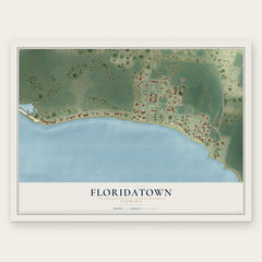
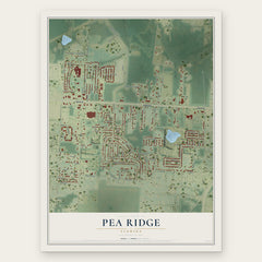
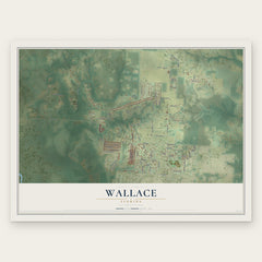
More maps nearby: Mulat, Avalon, Ferry Pass, Milton and Bagdad.
The art of mapping a place
How This Map Was Made
Real places. Remarkable detail. Discover the layers that turn geographic data into a map of home.

The view from above
Aerial imagery reveals the character of the land: woodland, open fields, and the patterns of a place.

The shape of the land
Elevation data brings hills, valleys, and subtle changes in the landscape into view.

The details of home
Roads, waterways, and building footprints come together to make the map feel unmistakably local.

Geography becomes art
Considered color, shading, and typography bring the layers together in a map made for your wall.


Process illustrated with Mendon, Massachusetts. Aerial imagery: USDA NAIP. Terrain: USGS 3D Elevation Program. Map details and finished artwork: KNOWOL.
The Details
About This Print
Choose an archival matte print, or a black or white Ayous wood frame. The archival matte print is unframed.
Select your size and finish above to see the matching product image and price.
Materials & Craftsmanship
A contemporary map with the character of a classic atlas, printed on archival matte paper. Optional frames are made from Ayous wood.
Your printed map does not include the watermark shown in the full-map preview.
Shipping & Delivery
Free shipping within the United States. Every print is made to order in the USA.
Buying a gift? Add a note in your cart and we'll include it. We never put prices in the package.
Prints ship within 2 to 3 business days. Allow 7 to 10 days total from ordering for delivery. Timing may vary during holidays or periods of high order volume.
Read our shipping policy.
Returns and damaged prints
Each print is made to order. Change-of-mind refunds are not available after production.
If your print arrives damaged, misprinted or incorrect, contact support@knowol.com within 30 days of receiving it. Include your order number, photos and a description of the issue.
Read our full refund and replacement policy. For questions about your order, email support@knowol.com.