
Search for another town

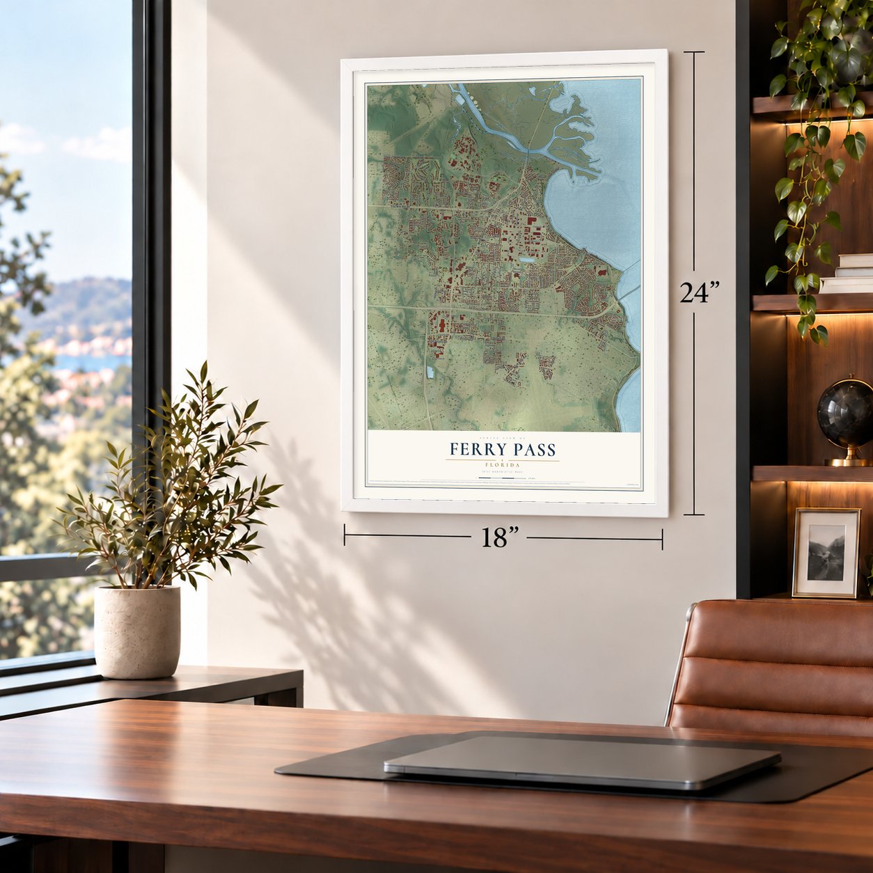

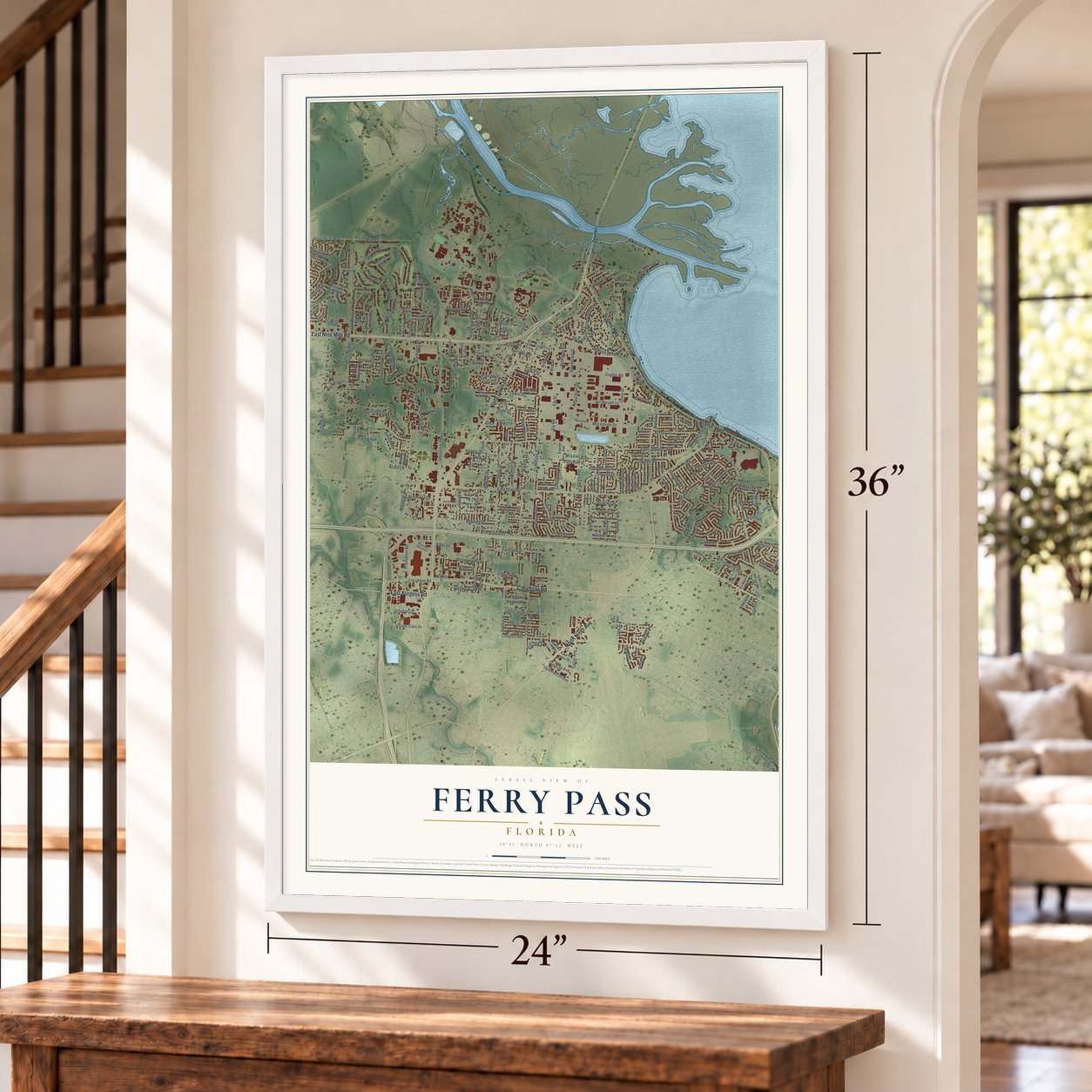

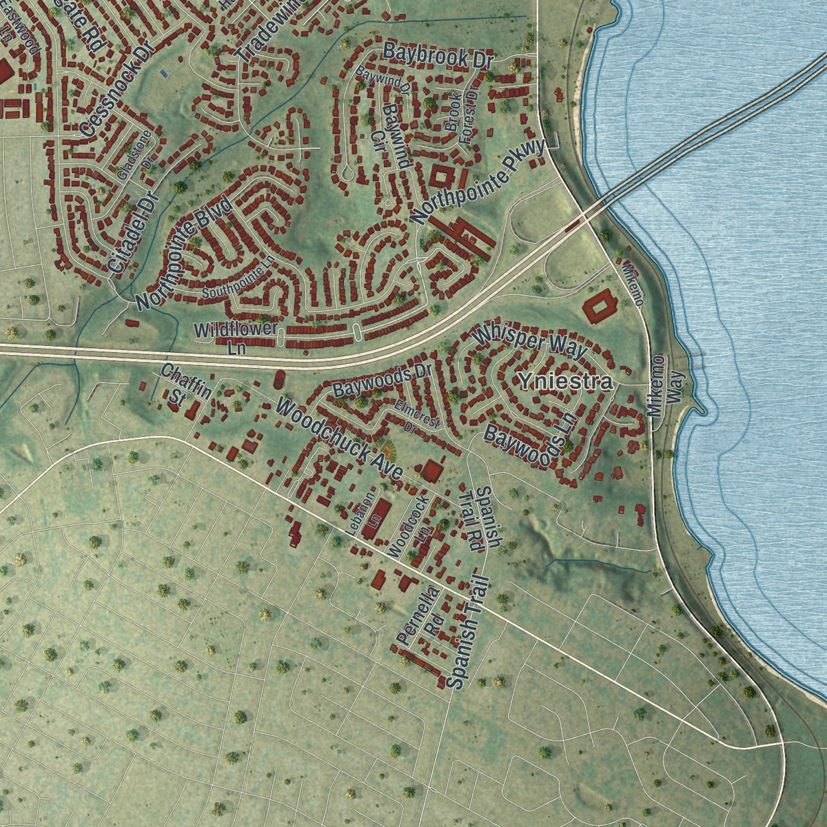
Free U.S. delivery 7 to 10 days after you order
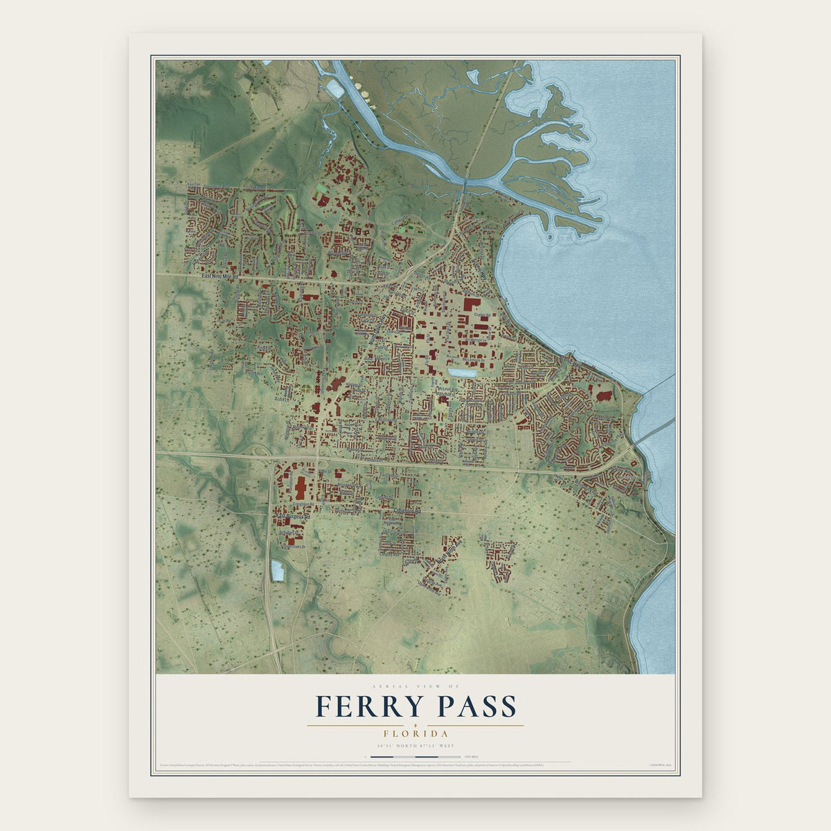
Ferry Pass, Florida Map Art
Building by building, with labeled streets and shaded relief.
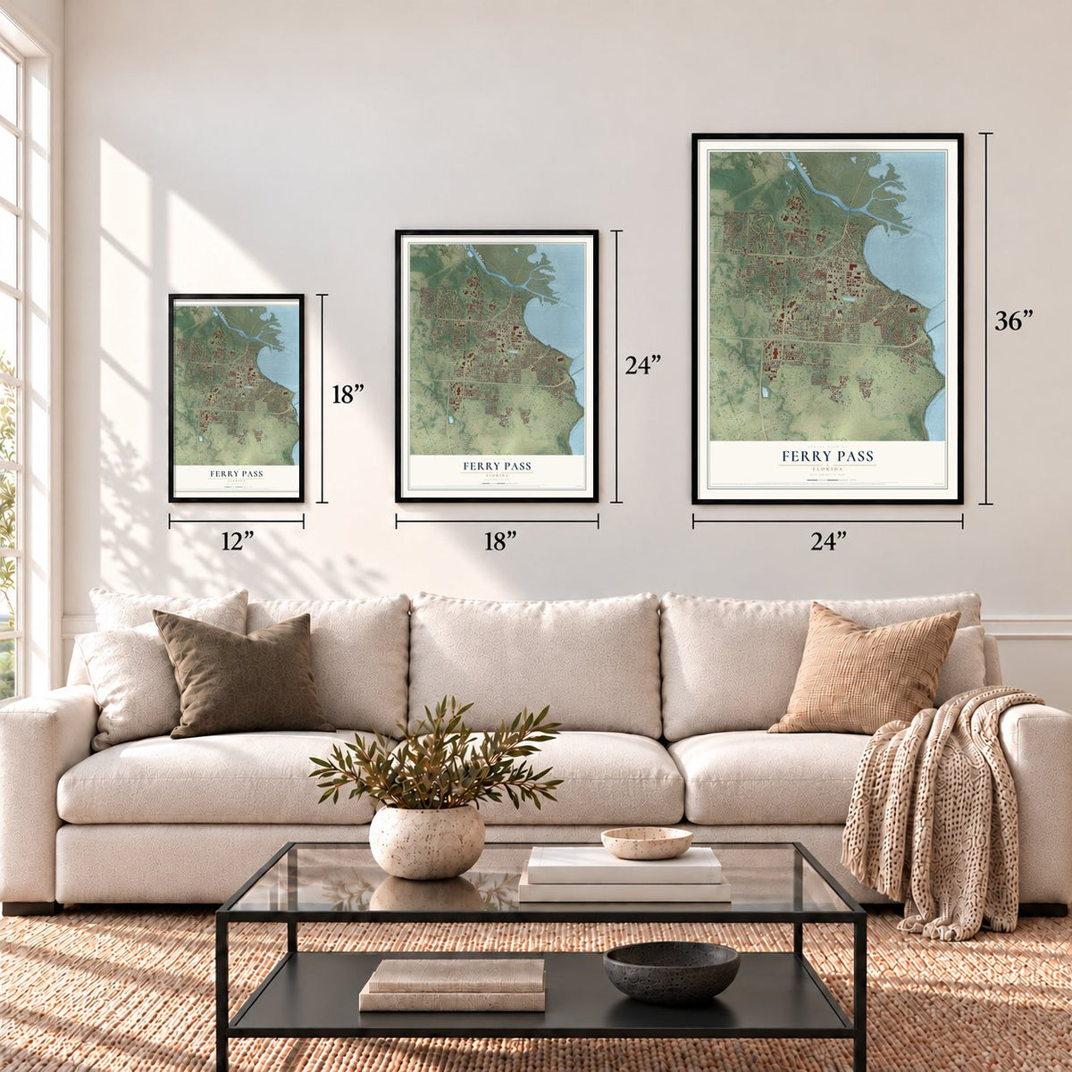
12" x 18" Archival Matte Print
A Map of Home. A Work of Art.
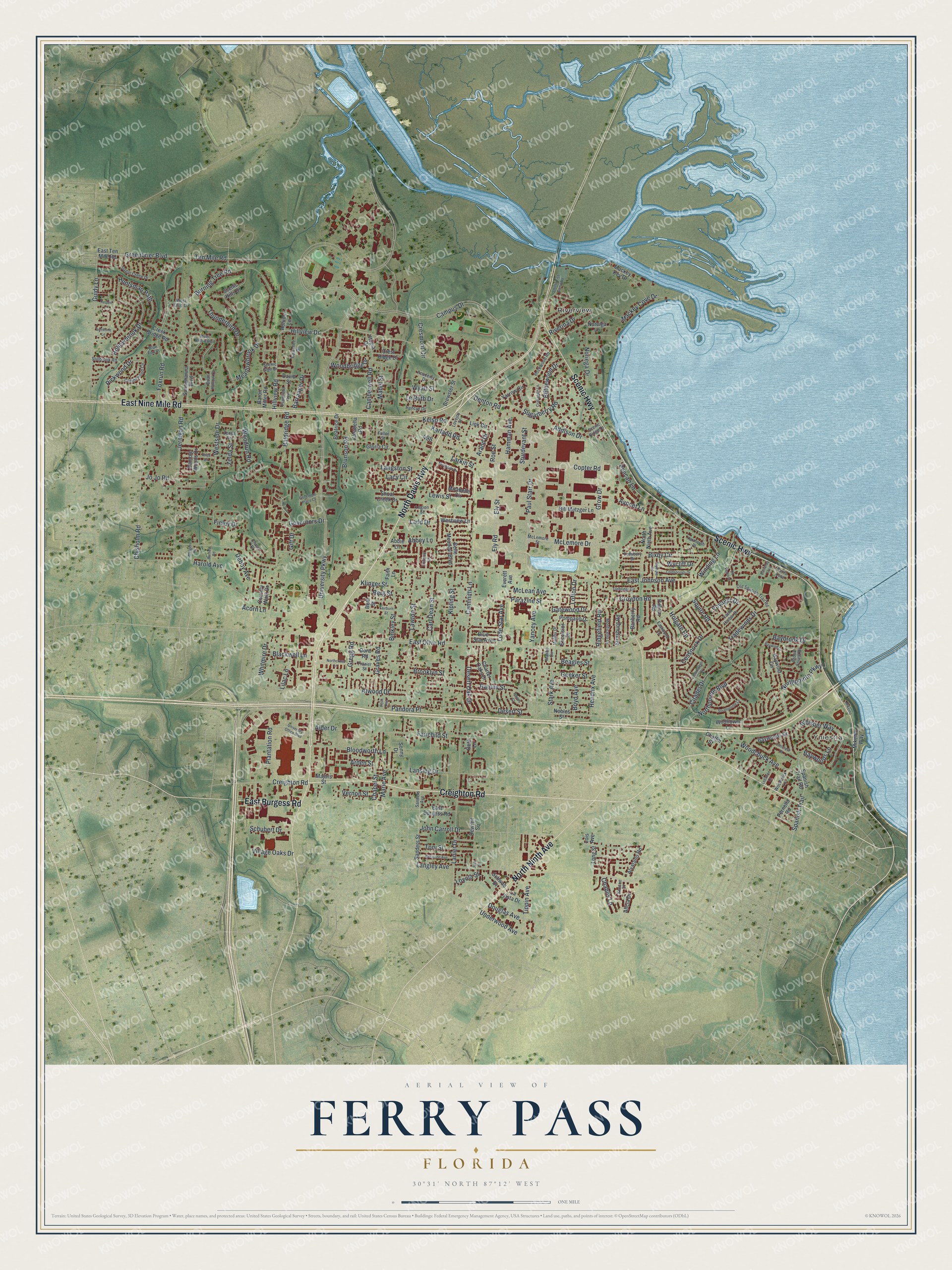
Explore Ferry Pass, Florida from a whole new perspective. Created using aerial imagery and detailed geographic data, this map captures Ferry Pass building by building, with labeled streets, familiar landmarks, and shaded topographical relief that highlights the natural contours of the landscape.
Combining modern data with the timeless character of a vintage atlas, this map is just as interesting up close as it is beautiful on the wall. Whether you grew up in Ferry Pass, spent memorable years there, or call it home today, this unique map is a great way to celebrate a place that means something to you. Zoom in on the preview to look for your street, and then order a print to put your memories on the wall.
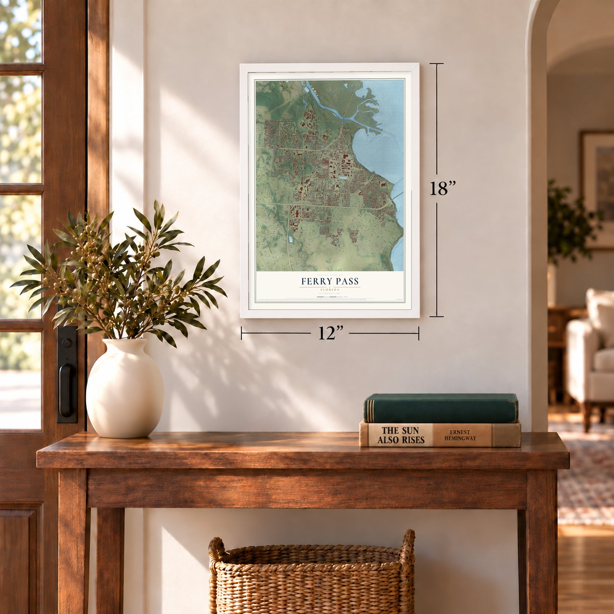
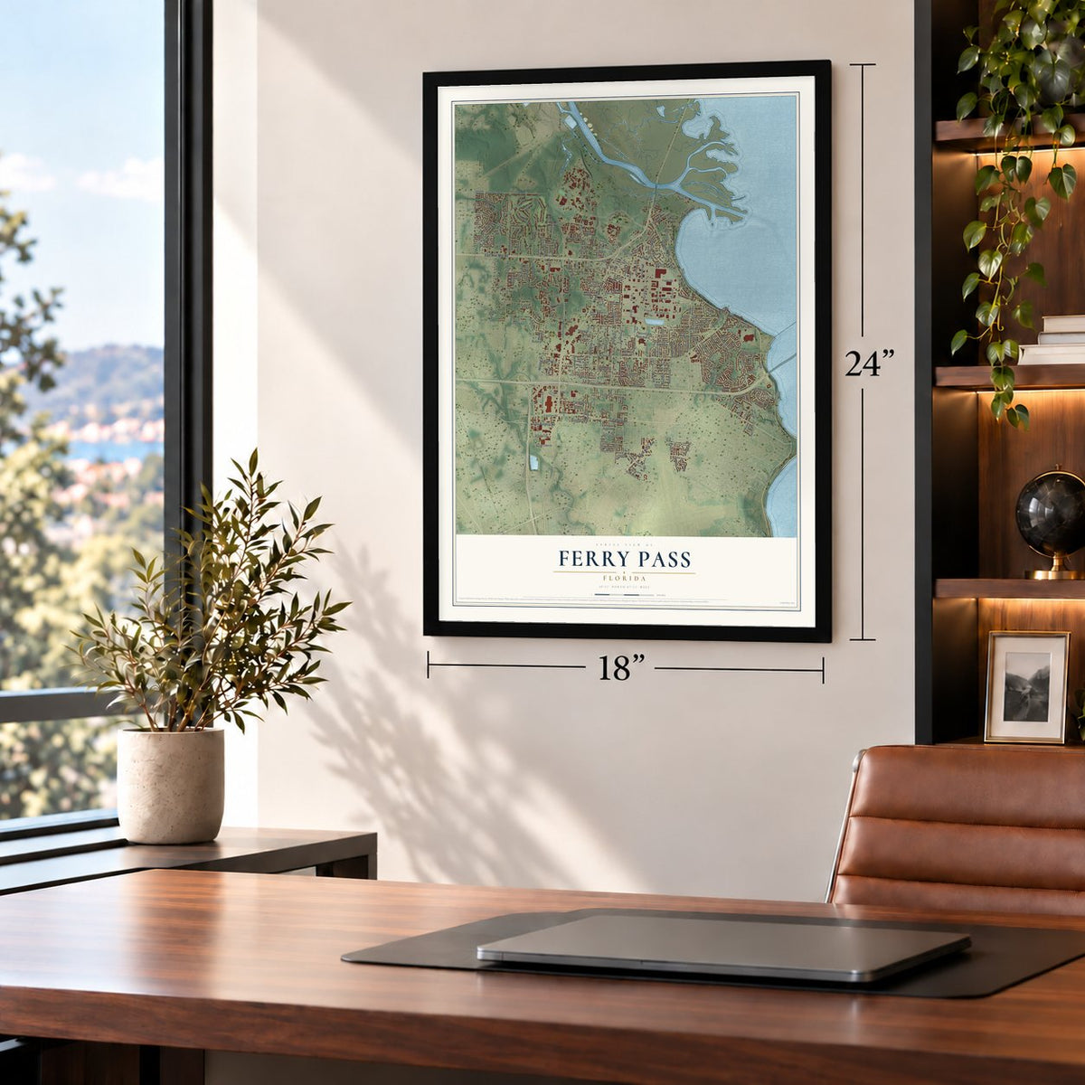
Three ways to hang it
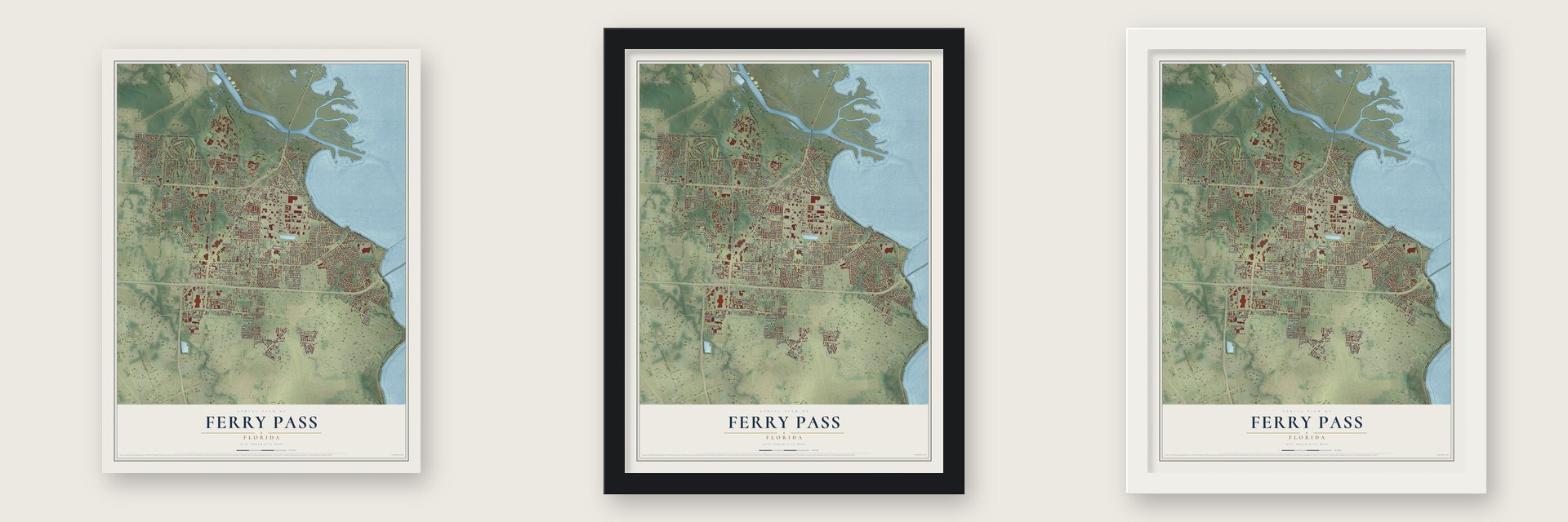
Unframed archival matte, a black wood frame or a white wood frame.
Up close
Geography Worth Displaying
This map was created using accurate cartographic data and authoritative geographic sources, including the U.S. Geological Survey and the Census Bureau. The map brings together terrain, waterways, roads, and building detail. The majority of the streets are labeled, houses are accurately depicted, and the topography is derived from government sources. Combining local data with carefully composed color and shading leads to this beautifully detailed Ferry Pass artwork for your wall.
Rather than simply showing street outlines, we’ve included as many of the street names as we could reasonably fit on the map while keeping their names legible. Zoom in on the high resolution preview to see exactly what’s on the map. We truly set out to create a statement piece for anyone who loves Ferry Pass. So whether it’s for you, or a gift for someone you love, we hope this map of Ferry Pass brings back fond memories.
Read the story behind this map of Ferry Pass, Florida from 2026.

Find your street
Names on the Ferry Pass map
Every name below is printed on this map. Look for your street, your school, the park where you played, or the pond down the road.
Places and landmarks2
- Yniestra
- Riverview
Streets and roads254
- North Davis Highway
- East Burgess Road
- Scenic Highway
- Creighton Road
- East Nine Mile Road
- North Ninth Avenue
- Campus Drive
- Northpointe Parkway
- John Carroll Drive
- Langley Avenue
- Plantation Road
- Hillview Road
- Sugarberry Road
- University Parkway
- East Johnson Avenue
- East Olive Road
- Northpointe Boulevard
- Tippin Avenue
- Copter Road
- Hillview Drive
- Burning Tree Road
- Foxrun Road
- Greenbrier Boulevard
- Kipling Street
- Jernigan Road
- Chisholm Road
- Lanier Drive
- Lawton Street
- Guidy Lane
- Atwood Drive
Show all 254 streets
- Whitmire Drive
- Huntsman Path
- Woodrun Road
- Addison Drive
- Hollowbrook Drive
- Finley Drive
- Camberwell Road
- Woodchuck Avenue
- Fairchild Street
- Ely Road
- Ely Street
- Desert Street
- Baybrook Drive
- Grow Drive
- Ten Mile Road
- Tradewinds Drive
- Wyatt Street
- Raines Street
- Mackey Cove Drive
- Lansing Drive
- McLemore Drive
- Parazine Street
- Meadowbrook Drive
- Mabel Street
- Paul Starr Drive
- Debby Avenue
- McLean Avenue
- Bloodworth Lane
- Spanish Trail
- Harold Avenue
- Caminitti Lane
- Westside Drive
- Larkin Street
- Whisper Way
- Jo Jo Road
- Baldridge Road
- Carl Dean Street
- Bixby Circle
- Brunson Road
- Hendrix Avenue
- Chapel Street
- Noriega Drive
- Ridgefield Road
- Gatewood Drive
- Lewis Street
- Toni Street
- Boyd Avenue
- Croydon Road
- Avocet Lane
- Pickwood Drive
- Baywoods Lane
- Underwood Avenue
- Thunderbird Drive
- Blithewood Drive
- Graves Road
- Squire Road
- Binkley Street
- Pelican Lane
- Winding Lane
- Geeker Street
- Kelso Road
- Desert Oak Drive
- Cresmont Circle
- Sturdevant Street
- Stark Avenue
- Schubert Drive
- Le Ruth Drive
- Blackwell Lane
- Gregg Road
- Hamman Avenue
- Citadel Drive
- Cessnock Drive
- Douglas Avenue
- Marie Avenue
- Abbey Lane
- Barranger Drive
- Yancey Avenue
- Lode Star Avenue
- Langston Street
- Riverina Drive
- Denton Road
- Village Oaks Drive
- Woodbridge Drive
- Wycliff Drive
- Karland Road
- Governors Drive
- Berg Street
- Chablis Lane
- Brooklyn Street
- Pandora Place
- Lilac Lane
- Beagles Street
- Ladd Drive
- Loyola Street
- Klinger Street
- Voyager Drive
- Vernon Street
- Lofton Drive
- Zelda Street
- Lacy Circle
- Holgate Road
- Roe Street
- Acorn Lane
- Arden Street
- Arand Drive
- Alder Drive
- Gift Drive
- Wildflower Lane
- Scenic Hills Drive
- Mirabelle Circle
- Belle Meadow Boulevard
- Sunnehanna Boulevard
- East Ten Mile Road
- Baywoods Drive
- Charter Oaks Drive
- Spanish Trail Road
- Long Street
- Pompano Drive
- Beatrice Drive
- Sanders Street
- Mackey Key Drive
- Strasburg Road
- Westview Lane
- Yarrow Circle
- Abbie Lane
- Country Walk Drive
- Ramble Woods Drive
- Gloria Circle
- Brewster Street
- Sonny Drive
- Dewrell Square
- Bill Metzger Lane
- Link Circle
- Crest Ridge Drive
- Dora Road
- Everett Avenue
- Nobles Street
- Creek Bridge Road
- Schwab Drive
- Baron Miller Road
- Shoal Creek Drive
- Alvarado Road
- Banberry Road
- Excelsior Drive
- Blue Star Avenue
- Baywind Circle
- Utopia Drive
- Alicia Drive
- Carabella Road
- La Vista Drive
- Beal Street
- David Street
- Mikemo Way
- Noreiga Lane
- Pilgrim Road
- Pernella Road
- Autumn Lane
- Chaffin Street
- Faith Lane
- Majors Street
- Beta Lane
- Lois Avenue
- McLemore Street
- Old Spanish Trail Road
- Sugar Creek Drive
- Yacht Harbor Drive
- Sanders Avenue
- Monticello Drive
- Rockwood Road
- Candlewood Circle
- Academy Drive
- Frazier Street
- Brook Forest Drive
- Hencye Drive
- Stillbrook Road
- Lovejoy Street
- Yarmouth Place
- Chalet Place
- Plainfield Avenue
- West Club Drive
- Kawanee Drive
- Eclipse Lane
- Malibu Drive
- Punta Lora
- Legion Street
- Woodcock Lane
- Eastwood Lane
- Kirsten Drive
- Quail Hollow Court
- Leesbury Drive
- Zenda Street
- Scenic Ridge Drive
- Scenic Glen Drive
- Blue Fox Place
- Malibu Circle
- Fuller Street
- Northcross Lane
- University Office Boulevard
- Quail Hollow Boulevard
- Mirabelle Drive
- Gladstone Drive
- Elmcrest Drive
- Bakalane Avenue
- Coldsprings Drive
- Southpointe Lane
- Governors Place Court
- Crabapple Lane
- Cll Ventoso
- Smiths Fish Camp Road
- Tonbridge Circle
- Baywind Drive
- Olympia Road
- Fitch Avenue
- Fairburn Street
- Merger Road
- Barranca Lora
- Raines Court
- Sunshine Lane
- Barnes Road
- Requin Lane
- Aries Drive
- Lebanon Lane
- Mikemo
- Jack Street
Names are listed as they appear on the printed map. Zoom into the product photos to find them.
About Ferry Pass, Florida
Ferry Pass is a community of 29,921 people in Escambia County, just north of the Pensacola city limits and stretching east to Escambia Bay. Its name dates to at least 1830, when travelers used a narrow pass to reach the ferry that crossed the Escambia River close to its mouth. The ferry gave the pass its name, and the pass gave the name to the community.
- Ellyson Field, 1941The Navy built a training field here in 1941 and named it Ellyson Field for Theodore Ellyson, the Navy's first aviator. On October 1, 1941, training planes from Chevalier Field arrived in an enormous V formation, and training flights started from the new field that same afternoon.
- Helicopter school until 1973In 1950 the Navy based Helicopter Training Unit One at Ellyson Field, and for more than two decades its pilots learned to fly helicopters here. In 1973 the Navy shut Ellyson down and shifted its helicopter training to Whiting Field.
- University of West FloridaThe University of West Florida stands in the northern part of Ferry Pass. It is the only university anywhere in the Pensacola metropolitan area, which carries the community's name in its own: Pensacola-Ferry Pass-Brent.
Keep exploring Florida
Ferry Pass is one of 1,039 Florida towns we've mapped. Every dot on the map is a print of its own.
The search covers every state, Florida first.
Near Ferry Pass
Order 2 or more town maps and save 10%. Shown in the size and finish you picked above, so they hang as a set.
- Mulat 12" x 18" / Archival Matte Print $39.99
- Floridatown 12" x 18" / Archival Matte Print $39.99
- Avalon 12" x 18" / Archival Matte Print $39.99

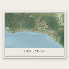
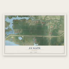
More maps nearby: Brent, Ensley, Pensacola, Goulding and Pace.
The art of mapping a place
How This Map Was Made
Real places. Remarkable detail. Discover the layers that turn geographic data into a map of home.

The view from above
Aerial imagery reveals the character of the land: woodland, open fields, and the patterns of a place.

The shape of the land
Elevation data brings hills, valleys, and subtle changes in the landscape into view.

The details of home
Roads, waterways, and building footprints come together to make the map feel unmistakably local.

Geography becomes art
Considered color, shading, and typography bring the layers together in a map made for your wall.


Process illustrated with Mendon, Massachusetts. Aerial imagery: USDA NAIP. Terrain: USGS 3D Elevation Program. Map details and finished artwork: KNOWOL.
The Details
About This Print
Choose an archival matte print, or a black or white Ayous wood frame. The archival matte print is unframed.
Select your size and finish above to see the matching product image and price.
Materials & Craftsmanship
A contemporary map with the character of a classic atlas, printed on archival matte paper. Optional frames are made from Ayous wood.
Your printed map does not include the watermark shown in the full-map preview.
Shipping & Delivery
Free shipping within the United States. Every print is made to order in the USA.
Buying a gift? Add a note in your cart and we'll include it. We never put prices in the package.
Prints ship within 2 to 3 business days. Allow 7 to 10 days total from ordering for delivery. Timing may vary during holidays or periods of high order volume.
Read our shipping policy.
Returns and damaged prints
Each print is made to order. Change-of-mind refunds are not available after production.
If your print arrives damaged, misprinted or incorrect, contact support@knowol.com within 30 days of receiving it. Include your order number, photos and a description of the issue.
Read our full refund and replacement policy. For questions about your order, email support@knowol.com.