
Search for another town





Free U.S. delivery 7 to 10 days after you order
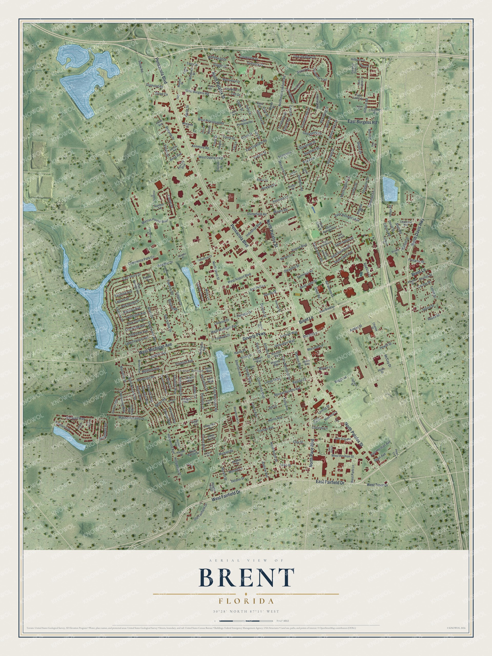
Brent, Florida Map Art
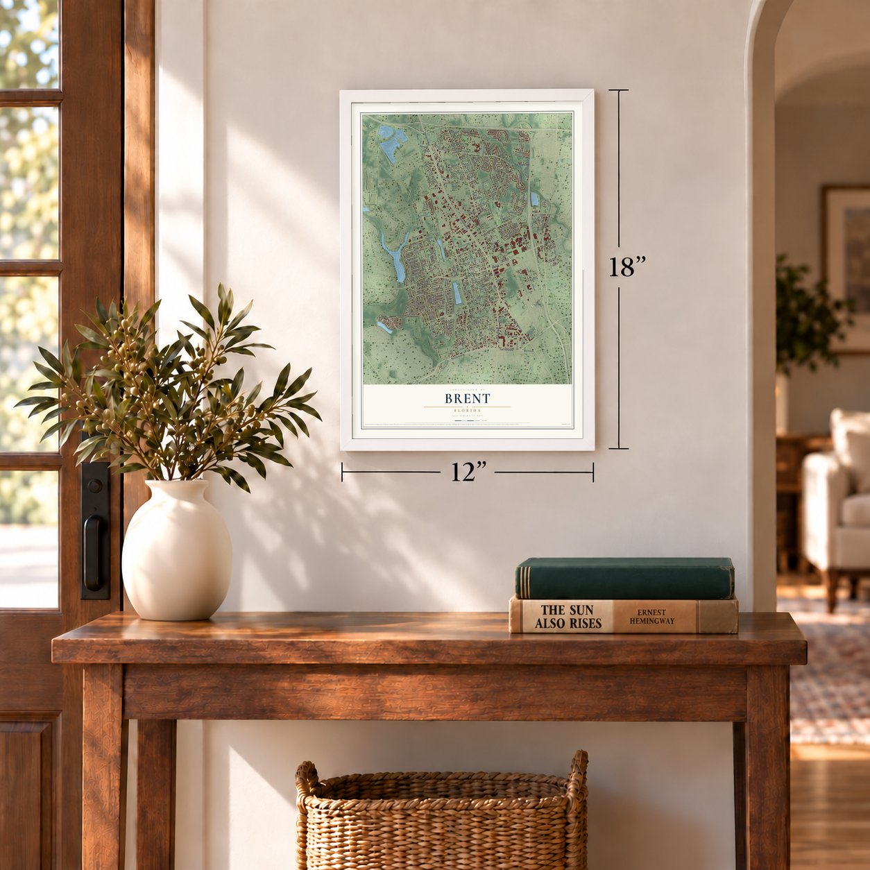
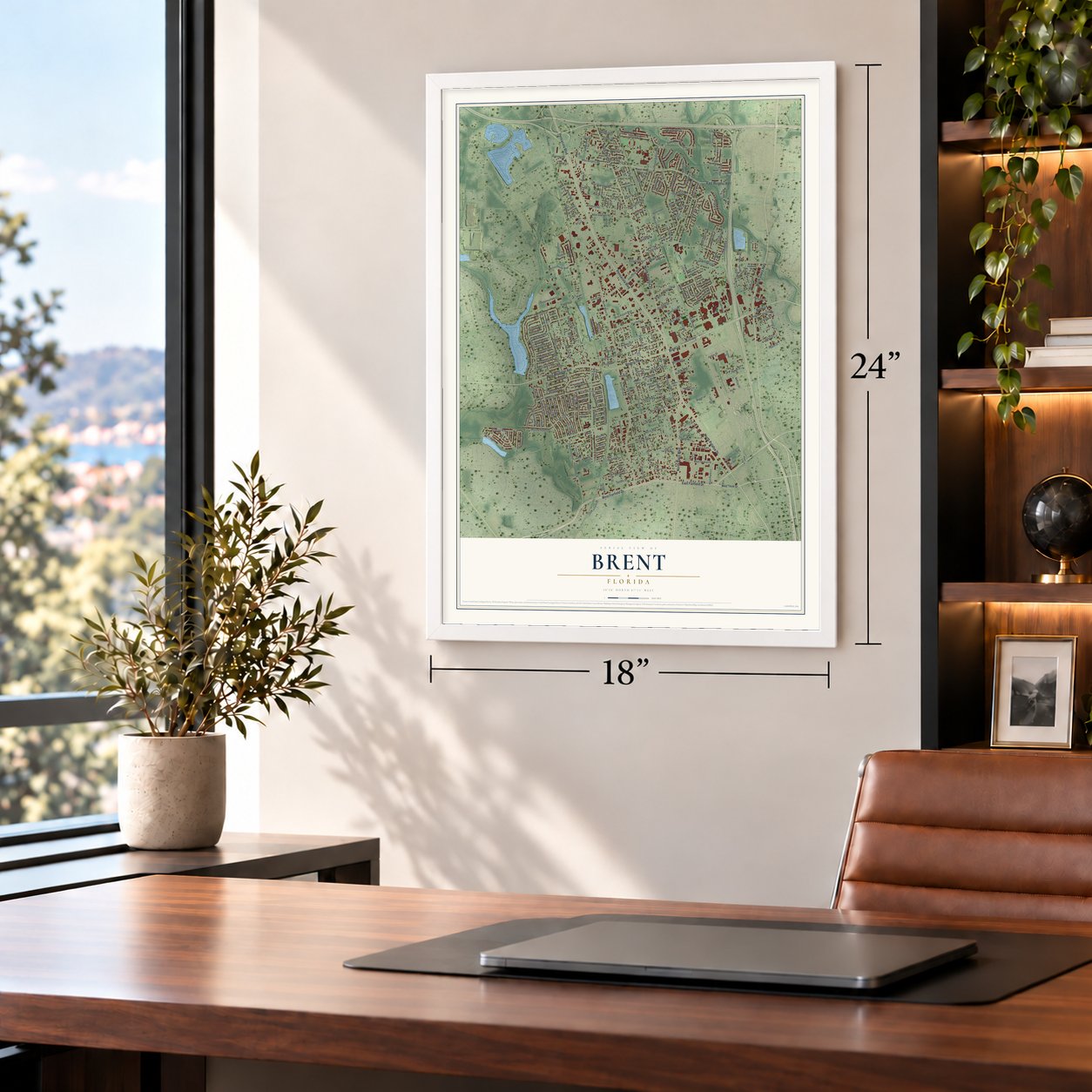
A new map of Brent, Florida, made in 2026 and printed to order on thick archival matte paper.
12" x 18" Archival Matte Print
A Map of Home. A Work of Art.
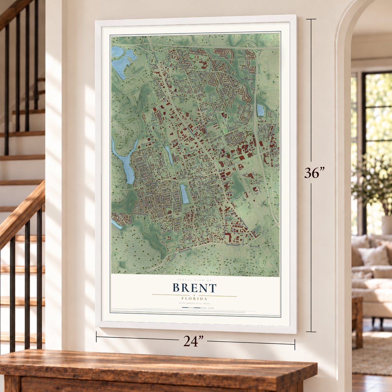
This beautifully detailed map of Brent, Florida was created in 2026 using aerial imagery combined with modern topographical, census, street and landmark data. It's a modern aerial view of Brent in Escambia County, Florida, that combines modern data with a vintage aesthetic. Zoom in on the preview and look for your block.
Three ways to hang it
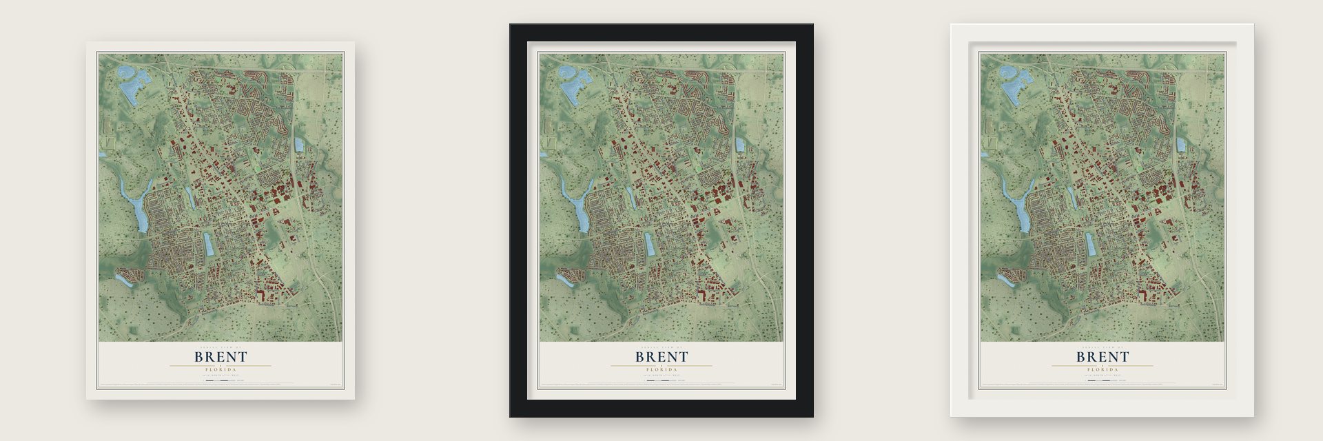
Unframed archival matte, a black wood frame or a white wood frame.
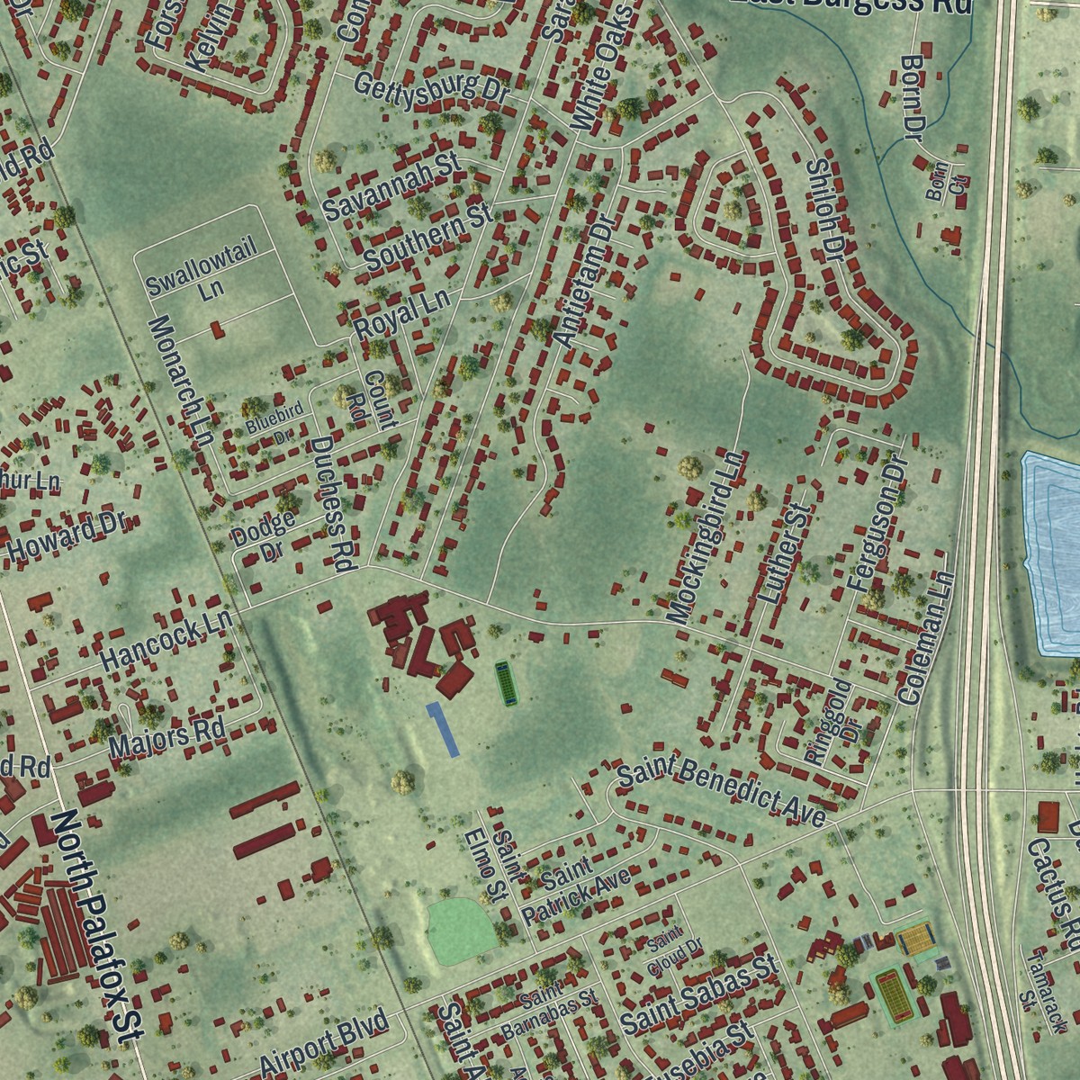
Up close
Real geography. Art worth displaying.
This map was created using accurate cartographic data and authoritative geographic sources, including the U.S. Geological Survey and the Census Bureau. The map brings together terrain, waterways, roads, and building detail. The majority of the streets are labeled, houses are accurately depicted, and the topography is derived from government sources. Combining local data with carefully composed color and shading leads to this beautifully detailed Brent artwork for your wall.
Rather than simply showing street outlines, we’ve included as many of the street names as we could reasonably fit on the map while keeping their names legible. Zoom in on the high resolution preview to see exactly what’s on the map. We truly set out to create a statement piece for anyone who loves Brent. So whether it’s for you, or a gift for someone you love, we hope this map of Brent brings back fond memories.

Find your street
Names on the Brent map
Every name below is printed on this map. Look for your street, your school, the park where you played, or the pond down the road.
Places and landmarks1
- Tristan Village
Streets and roads285
- North Davis Highway
- West Fairfield Drive
- East Fairfield Drive
- Pensacola Boulevard
- North Palafox Street
- Brent Lane
- East Burgess Road
- Beverly Parkway
- North Pace Boulevard
- West Michigan Avenue
- Marcus Pointe Boulevard
- West Burgess Road
- Rambler Drive
- Stumpfield Road
- Northeast Oakfield Road
- East Oakfield Road
- Anita Avenue
- Vivian Drive
- North West Street
- Massachusetts Avenue
- Airport Boulevard
- Montclair Road
- East Shore Drive
- Hancock Lane
- Belair Road
- Yoakum Court
- Shiloh Drive
- Concordia Boulevard
- Hollywood Avenue
- Hollywood Street
Show all 285 streets
- West Herman Street
- Monarch Lane
- Bayliss Court
- Rawson Lane
- Tree Swallow Drive
- Cary Memorial Drive
- Rampart Way
- Hansen Boulevard
- Armenia Drive
- Delano Street
- Van Pelt Lane
- Commerce Park Circle
- Market Street
- Allerton Avenue
- Fairview Drive
- West Pinestead Road
- North South Street
- Havre Way
- Clay Street
- Industrial Boulevard
- Sarah Drive
- White Oaks Drive
- Truman Avenue
- Sun Valley Drive
- Andrew Avenue
- Glass Drive
- Fremont Avenue
- Kenmore Road
- Lenox Parkway
- Lucerne Avenue
- Confederate Drive
- Hilburn Road
- West Airport Boulevard
- Pipeline Road
- Sycamore Drive
- Empire Drive
- Rainbow Avenue
- Medford Avenue
- Antietam Drive
- Camelia Drive
- Siskin Lane
- West Oakfield Road
- Creekview Drive
- Walton Street
- Guerlain Way
- Bridgedale Road
- Florelle Way
- Ellysee Way
- Clearwater Avenue
- Amber Street
- Chantilly Way
- Monpellier Drive
- Gettysburg Drive
- Saint Nazaire Road
- Massachusetts Lane
- East Montclair Road
- Saint Benedict Avenue
- Chimes Way
- Palm Court
- Duval Street
- Beggs Lane
- Loretta Street
- Flagler Drive
- Melanie Drive
- Moss Lane
- Toulouse Drive
- Ladner Drive
- Corday Street
- Overlook Drive
- Marseille Drive
- Lake Terrace Avenue
- Erress Boulevard
- Michael Drive
- Vicksburg Drive
- Trent Street
- Melody Lane
- Lagoon Drive
- Kelly Avenue
- Saint Eusebia Street
- Carolyn Way
- Majors Road
- Norris Avenue
- Jacquelyn Way
- Clarinda Lane
- Woodley Drive
- Saint John Street
- Royce Street
- Landes Drive
- Lynell Street
- McCoy Drive
- Mockingbird Lane
- Town Street
- Kelvin Terrace
- Saint Alban Road
- Cranbrook Avenue
- Parakeet Trail
- Clearview Avenue
- Selina Street
- Cactus Road
- Saint Cedd Avenue
- Luther Street
- Ferguson Drive
- Old Fairfield Drive
- Murphy Lane
- Oleander Street
- Snow Road
- Terry Drive
- Boone Street
- Hoyt Street
- West Park Lane
- Versailles Drive
- Phyliss Street
- Southern Street
- East Herman Avenue
- Artesian Avenue
- Travis Street
- Twinbrook Avenue
- Lucy Street
- Born Drive
- Mason Lane
- Royal Lane
- Pearl Avenue
- Hilburn Lane
- Hewitt Street
- Cherbourg Way
- Marshall Lane
- Lookout Drive
- Savannah Street
- Rochelle Drive
- Coons Avenue
- Forshalee Drive
- Diamond Road
- Boswell Road
- Dale Street
- Duchess Road
- Shell Road
- Sloan Circle
- Saint Sabas Street
- Whitehead Drive
- Rhett Road
- Coleman Lane
- Fontaine Street
- Hill Drive
- Taft Drive
- Pacific Street
- Howard Drive
- Diana Street
- Hardy Place
- Deason Street
- Clyde Street
- Tiki Lane
- Apple Street
- West Texar Drive
- South Hansel Street
- East Brent Lane
- Blue Springs Avenue
- Blue Springs Drive
- Deauville Way
- Fun City Boulevard
- Rosalyn Boulevard
- Rosalyn Way
- Headway Terrace
- Quina Way
- Virginia Way
- Memory Lane
- Appomattox Drive
- Amiens Way
- Rhythm Street
- Warehouse Lane
- Cabral Street
- Okaloosa Avenue
- Songbird Drive
- Cummings Road
- Industrial Court
- Twin Lakes Lane
- Phyllis Street
- Hansel Street
- Rhoda Street
- Rock Creek Avenue
- Cardinal Cove Lane
- Charmonte Way
- Last Big Tree Lane
- Le Moyne Lane
- Le Mans Way
- Dodge Drive
- Saint Patrick Avenue
- Bristol Avenue
- Twin Lakes Drive
- Myrtlewood Drive
- Creighton Road
- Saint Elmo Street
- Peagler Plaza
- East Pinestead Road
- Baird Street
- Burlington Avenue
- Ringgold Drive
- John Gray Road
- Nabors Place
- Swallowtail Lane
- Westmont Street
- West 41st Lane
- Le Blanc Way
- Limoges Way
- Spruce Street
- Triumph Street
- Hyatt Street
- Vaughn Lane
- Barnett Street
- Burrell Lane
- Cheyenne Circle
- Hedge Road
- Arthur Lane
- Count Road
- Milstead Street
- Santa Fe Circle
- Diego Circle
- Chaney Street
- Maxam Street
- Pebble Drive
- Seine Way
- Rambler Terrace
- Loire Way
- Violet Avenue
- Pearl Lane
- Enterprise Drive
- West 42nd Lane
- Fulton Avenue
- Saint Barnabas Street
- Redbreast Lane
- John Gray Street
- Barfield Avenue
- Saint Adela Avenue
- Hilburn Place
- Otto Avenue
- Dorothy Avenue
- Todd Drive
- Tamarack Street
- Owens Street
- Briskey Court
- Prosperity Place
- Ontario Lane
- Rambler Place
- Allen Court
- El Paso Circle
- Born Court
- Fletcher Drive
- Sands Place
- La Salle Way
- Saint Cloud Drive
- Bienville Drive
- Pipline Road
- Cooks Court
- Du Monde Place
- Magnolia Boulevard
- Bluebird Drive
Names are listed as they appear on the printed map. Zoom into the product photos to find them.
The art of mapping a place
How This Map Was Made
Real places. Remarkable detail. Discover the layers that turn geographic data into a map of home.

The view from above
Aerial imagery reveals the character of the land: woodland, open fields, and the patterns of a place.

The shape of the land
Elevation data brings hills, valleys, and subtle changes in the landscape into view.

The details of home
Roads, waterways, and building footprints come together to make the map feel unmistakably local.

Geography becomes art
Considered color, shading, and typography bring the layers together in a map made for your wall.


Process illustrated with Mendon, Massachusetts. Aerial imagery: USDA NAIP. Terrain: USGS 3D Elevation Program. Map details and finished artwork: KNOWOL.
The Details
About This Print
Choose an archival matte print, or a black or white Ayous wood frame. The archival matte print is unframed.
Select your size and finish above to see the matching product image and price.
Materials & Craftsmanship
A contemporary map with the character of a classic atlas, printed on archival matte paper. Optional frames are made from Ayous wood.
Your printed map does not include the watermark shown in the full-map preview.
Shipping & Delivery
Free shipping within the United States. Every print is made to order in the USA.
Buying a gift? Add a note in your cart and we'll include it. We never put prices in the package.
Prints ship within 2 to 3 business days. Allow 7 to 10 days total from ordering for delivery. Timing may vary during holidays or periods of high order volume.
Read our shipping policy.
Returns and damaged prints
Each print is made to order. Change-of-mind refunds are not available after production.
If your print arrives damaged, misprinted or incorrect, contact support@knowol.com within 30 days of receiving it. Include your order number, photos and a description of the issue.
Read our full refund and replacement policy. For questions about your order, email support@knowol.com.
Find your town
Looking for another city?
Find a map of home in our Florida collection.
Nearby
Maps of towns near Brent
Know someone from one of these towns? Their map makes a great gift.
 Goulding
, Florida
From $39.99See the map
 West Pensacola
, Florida
From $39.99See the map
 Bellview
, Florida
From $39.99See the map
More maps nearby: Ensley, Pensacola, Myrtle Grove, Ferry Pass and Warrington.