
Search for another town


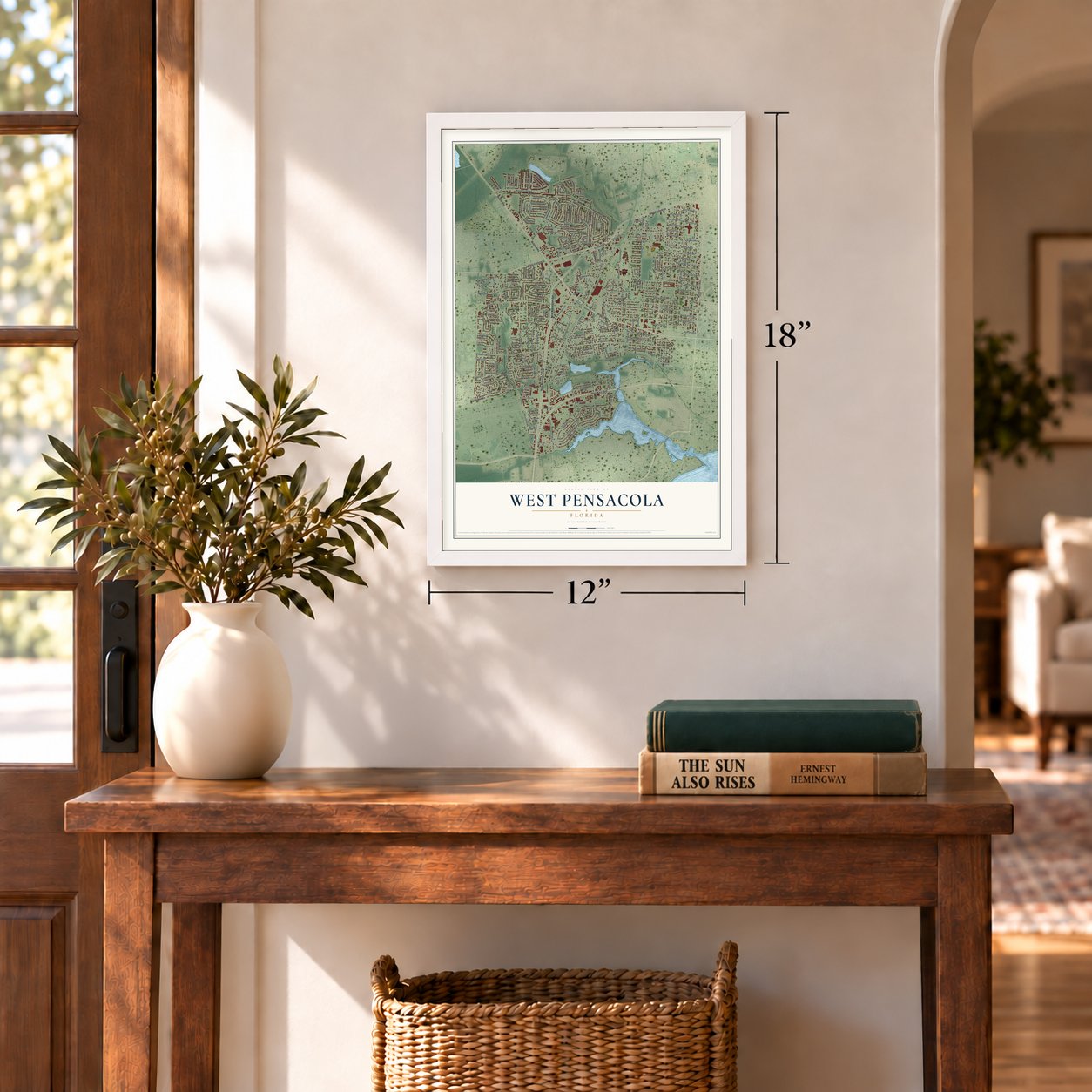

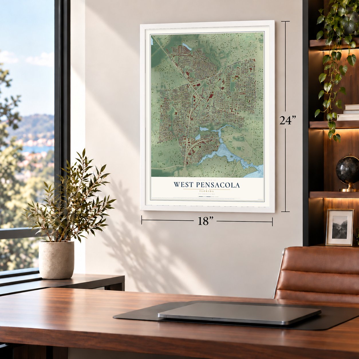

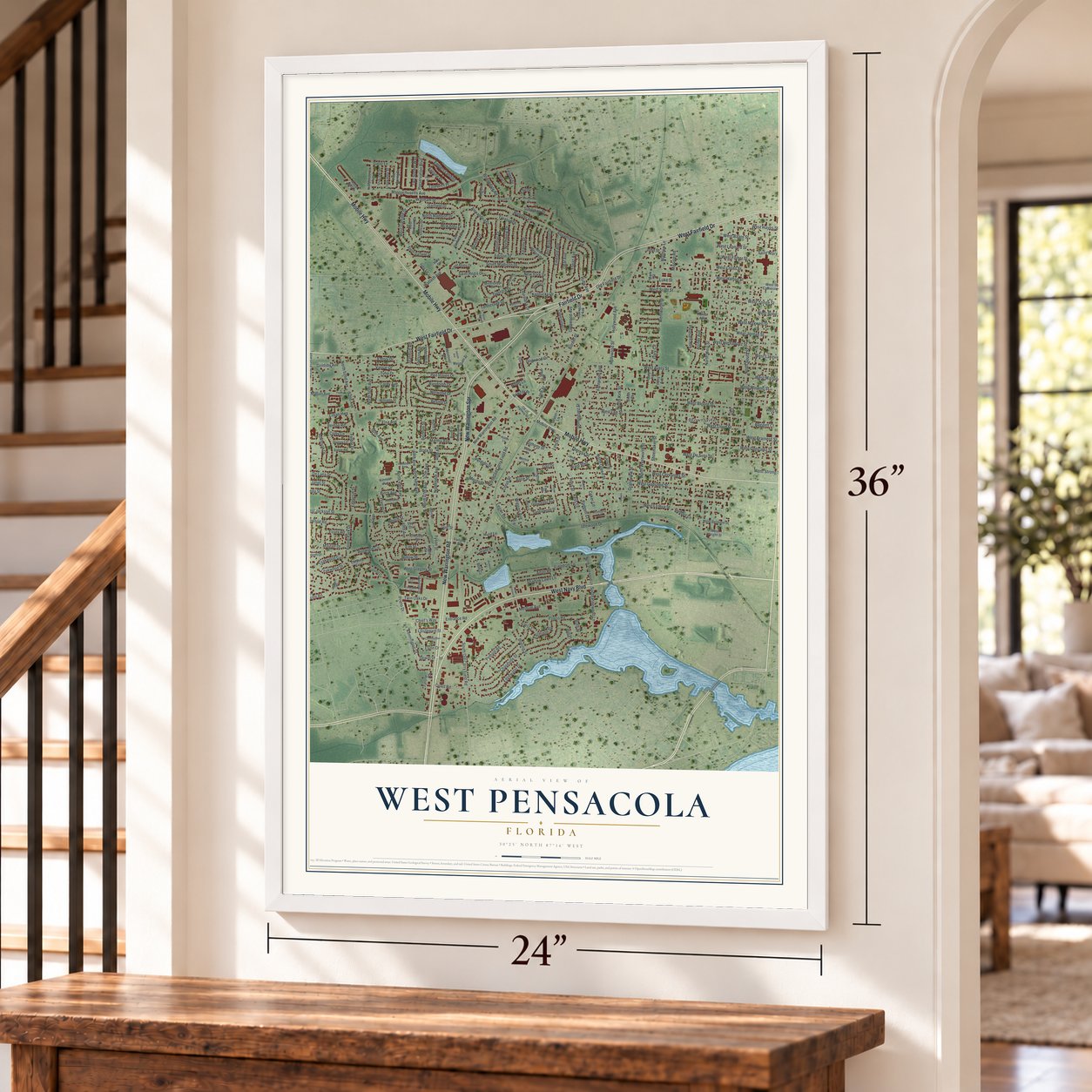

Free U.S. delivery 7 to 10 days after you order
West Pensacola, Florida Map Art
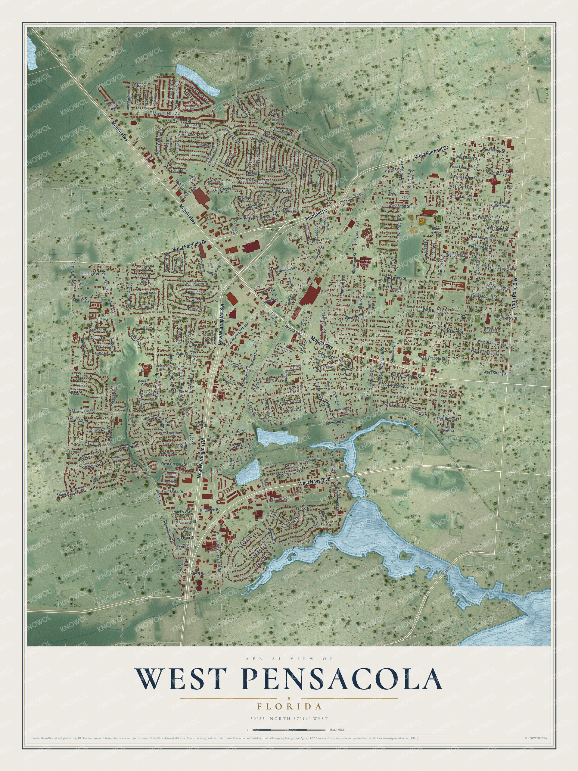
A new map of West Pensacola, Florida, made in 2026 and printed to order on thick archival matte paper.
12" x 18" Archival Matte Print
A Map of Home. A Work of Art.
This beautifully detailed map of West Pensacola, Florida was created in 2026 using aerial imagery combined with modern topographical, census, street and landmark data. It's a modern aerial view of West Pensacola in Escambia County, Florida, that combines modern data with a vintage aesthetic. Zoom in on the preview and look for your block.
Three ways to hang it
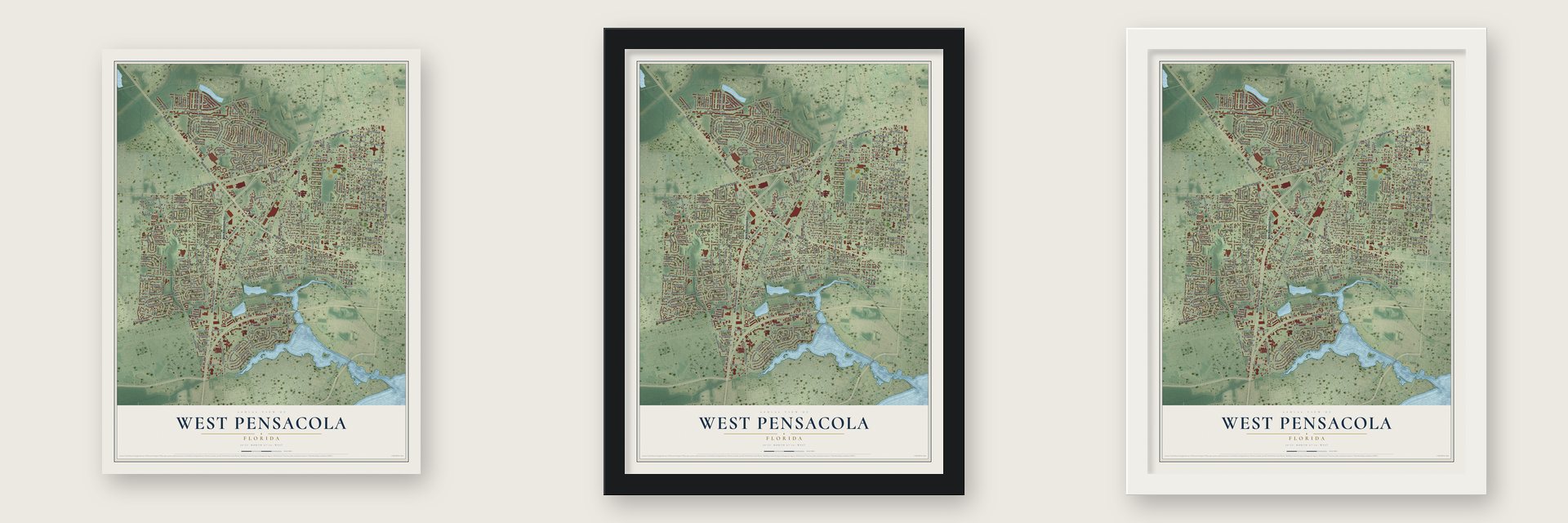
Unframed archival matte, a black wood frame or a white wood frame.
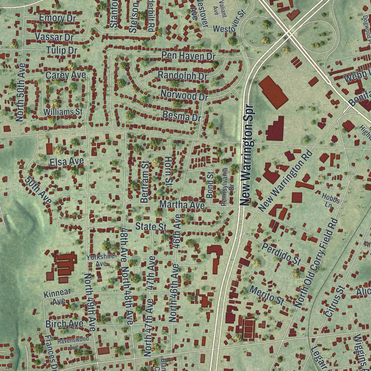
Up close
Real geography. Art worth displaying.
This map was created using accurate cartographic data and authoritative geographic sources, including the U.S. Geological Survey and the Census Bureau. The map brings together terrain, waterways, roads, and building detail. The majority of the streets are labeled, houses are accurately depicted, and the topography is derived from government sources. Combining local data with carefully composed color and shading leads to this beautifully detailed West Pensacola artwork for your wall.
Rather than simply showing street outlines, we’ve included as many of the street names as we could reasonably fit on the map while keeping their names legible. Zoom in on the high resolution preview to see exactly what’s on the map. We truly set out to create a statement piece for anyone who loves West Pensacola. So whether it’s for you, or a gift for someone you love, we hope this map of West Pensacola brings back fond memories.
Read the story behind this map of West Pensacola, Florida from 2026.

Find your street
Names on the West Pensacola map
Every name below is printed on this map. Look for your street, your school, the park where you played, or the pond down the road.
Places and landmarks1
- Brownsville
Streets and roads283
- New Warrington Road
- New Warrington Spr
- West Navy Boulevard
- Mobile Highway
- Fairfield Drive
- West Fairfield Drive
- North Pace Boulevard
- North West Street
- East Madison Drive
- South Madison Drive
- Prieto Drive
- Kennington Drive
- West Jackson Street
- North Old Corry Field Road
- North 57th Avenue
- North South Street
- Lillian Highway
- West Avery Street
- Edison Drive
- Massachusetts Avenue
- West Brainerd Street
- West Gonzalez Street
- Hollywood Avenue
- Hollywood Street
- West Gadsden Street
- Garfield Drive
- West Bobe Street
- Citrus Street
- West Blount Street
- West Lee Street
Show all 283 streets
- West Lloyd Street
- West Moreno Street
- North Green Street
- 49th Avenue
- North 49th Avenue
- Chaseville Street
- West De Soto Street
- North 48th Avenue
- Idlewood Drive
- West Mallory Street
- Border Street
- Edgewater Drive
- Grandview Street
- West Hernandez Street
- 48th Avenue
- North Kirk Street
- West Scott Street
- Martha Avenue
- West Cervantes Street
- Webster Drive
- Frisco Road
- West Jordan Street
- North 46th Avenue
- Aquamarine Avenue
- West Yonge Street
- West Maxwell Street
- Adkinson Drive
- West Lakeview Avenue
- 52nd Avenue
- North 52nd Avenue
- Shoemaker Street
- 46th Avenue
- West Cross Street
- Dogwood Drive
- West Fisher Street
- Two Sisters Way
- West La Rua Street
- Waltham Street
- New York Drive
- Preservation Boulevard
- Lynch Street
- State Street
- South Old Corry Field Road
- Shadow Lawn Lane
- North Wentworth Street
- Embers Landing
- Saint Regis Drive
- Chief's Way
- Entrance Road
- Redwood Circle
- Teakwood Circle
- Emerald Avenue
- De Luna Drive
- Norwood Drive
- Pen Haven Drive
- West Gregory Street
- Old Fairfield Drive
- West Hayes Street
- North Madison Drive
- Elm Street
- Pelham Road
- Tujaques Place
- North 50th Avenue
- Alexandria Drive
- Revere Drive
- Emory Drive
- West Hatton Street
- Meldum Avenue
- Fernwood Avenue
- Gary Circle
- West Strong Street
- 47th Avenue
- North 47th Avenue
- Mayfair Drive
- Birch Avenue
- Twin Oaks Drive
- Northview Drive
- Srant Drive
- Archer Avenue
- Trenton Drive
- Topaz Avenue
- Mission Road
- Lynwood Road
- Paul Street
- Forest Park Drive
- Teakwood Drive
- Alice Street
- Ruby Avenue
- Bridgedale Road
- Wentworth Street
- Tennessee Drive
- 50th Avenue
- Flynn Drive
- Alton Road
- Randolph Drive
- Georgia Drive
- Vassar Drive
- Willow Street
- Admiral Doyle Road
- Beech Street
- Lime Street
- West Garfield Drive
- Opal Avenue
- Besma Drive
- Elsa Avenue
- Luke Street
- McKinley Drive
- West Baars Street
- West Leonard Street
- Ross Street
- Dominguez Street
- Tulip Drive
- Potomac Drive
- Kearny Drive
- Louisiana Drive
- Linda Street
- Feldor Drive
- Freedom Lane
- Janet Street
- South Pinewood Lane
- Ehrmann Street
- Tyson Street
- Perdido Street
- Gulf Street
- Goldsby Avenue
- Fennel Street
- Wabash Avenue
- Coast Road
- Webb Lane
- Saint Mary Avenue
- Bertram Street
- Wiggins Avenue
- Pleasant Avenue
- Benton Road
- Kentucky Drive
- Carey Avenue
- Glenwood Avenue
- Ward Boulevard
- Boeing Street
- Matthew Lane
- Padgett Court
- Theresa Street
- Anthony Street
- Gator Lane
- Horn Street
- Edgecliff Drive
- Suburban Drive
- Antoine Place
- Stetson Road
- Essex Road
- Stanford Road
- Bonifay Place
- Clio Drive
- Legair Circle
- Lieutenant Street
- Marian Avenue
- Merito Street
- Colby Lane
- Buddys Lane
- Ruth Street
- Baggett Court
- Tyrone Street
- Earl Court
- Gail Drive
- Hurd Lane
- Keys Court
- Ivey Lane
- Bill Place
- Dewitt Drive
- John Street
- Coker Lane
- Pine Spring Drive
- West Madison Drive
- New Mexico Drive
- Westover Avenue
- Chestnut Street
- Kinnear Avenue
- Clairmont Drive
- West Belmont Street
- Frontera Circle
- Westover Street
- East Garfield Drive
- Bradford Drive
- West Godfrey Street
- South Garfield Drive
- Curtiss Drive
- Frances Drive
- Mississippi Circle
- West Saint Catherine Avenue
- North Pinewood Lane
- Eaton Road
- Vanderbilt Road
- Independence Avenue
- Creekmore Street
- Gloucester Avenue
- Arlington Drive
- Sandalwood Street
- Eva Drive
- Cloverland Court
- Oakwood Avenue
- Garnet Street
- Dorsay Lane
- Algiers Street
- Williams Street
- Catalina Circle
- Royal Hills Drive
- Hale Street
- Fortuna Street
- Larry Avenue
- Bond Street
- Gary Avenue
- Gunn Circle
- West Wright Street
- Seaton Lane
- Hunter Avenue
- Beth Circle
- Maple Street
- Simon Court
- Mark Street
- Foye Street
- Yorkshire Avenue
- Pennsylvania Drive
- Edgewood Circle
- Forrestal Street
- Cushman Street
- Silver Oak Street
- Nevada Circle
- Commander Street
- Desmonde Drive
- Wyoming Drive
- Old US Highway 90
- Rodgers Place
- Jean Street
- Blanton Court
- Alethia Street
- Hobbs Lane
- James Street
- South Dakota Street
- Dogwood Place
- Broussard Street
- Valiant Avenue
- Atwater Street
- Ravenswood Avenue
- Jazz Place
- Trevillian Street
- Wisconsin Drive
- North Ehrmann Street
- Flaxman Street
- Marlboro Street
- Walters Court
- Benson Place
- Danbury Circle
- Godwin Street
Names are listed as they appear on the printed map. Zoom into the product photos to find them.
The art of mapping a place
How This Map Was Made
Real places. Remarkable detail. Discover the layers that turn geographic data into a map of home.

The view from above
Aerial imagery reveals the character of the land: woodland, open fields, and the patterns of a place.

The shape of the land
Elevation data brings hills, valleys, and subtle changes in the landscape into view.

The details of home
Roads, waterways, and building footprints come together to make the map feel unmistakably local.

Geography becomes art
Considered color, shading, and typography bring the layers together in a map made for your wall.


Process illustrated with Mendon, Massachusetts. Aerial imagery: USDA NAIP. Terrain: USGS 3D Elevation Program. Map details and finished artwork: KNOWOL.
The Details
About This Print
Choose an archival matte print, or a black or white Ayous wood frame. The archival matte print is unframed.
Select your size and finish above to see the matching product image and price.
Materials & Craftsmanship
A contemporary map with the character of a classic atlas, printed on archival matte paper. Optional frames are made from Ayous wood.
Your printed map does not include the watermark shown in the full-map preview.
Shipping & Delivery
Free shipping within the United States. Every print is made to order in the USA.
Buying a gift? Add a note in your cart and we'll include it. We never put prices in the package.
Prints ship within 2 to 3 business days. Allow 7 to 10 days total from ordering for delivery. Timing may vary during holidays or periods of high order volume.
Read our shipping policy.
Returns and damaged prints
Each print is made to order. Change-of-mind refunds are not available after production.
If your print arrives damaged, misprinted or incorrect, contact support@knowol.com within 30 days of receiving it. Include your order number, photos and a description of the issue.
Read our full refund and replacement policy. For questions about your order, email support@knowol.com.
Find your town
Looking for another city?
Find a map of home in our Florida collection.
Nearby
Maps of towns near West Pensacola
Know someone from one of these towns? Their map makes a great gift.
 Myrtle Grove
, Florida
From $39.99See the map
 Goulding
, Florida
From $39.99See the map
 Brent
Brent, Florida
From $39.99See the map
More maps nearby: Warrington, Bellview, Pensacola, Pensacola Station and Ensley.