
Search for another town




Free U.S. delivery 7 to 10 days after you order
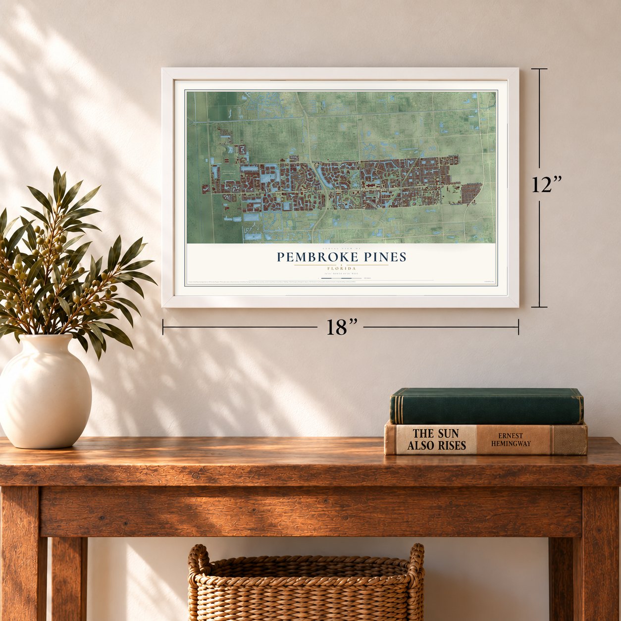
Pembroke Pines, Florida Map Art
A new map of Pembroke Pines, Florida, made in 2026 and printed to order on thick archival matte paper.
12" x 18" Archival Matte Print
A Map of Home. A Work of Art.
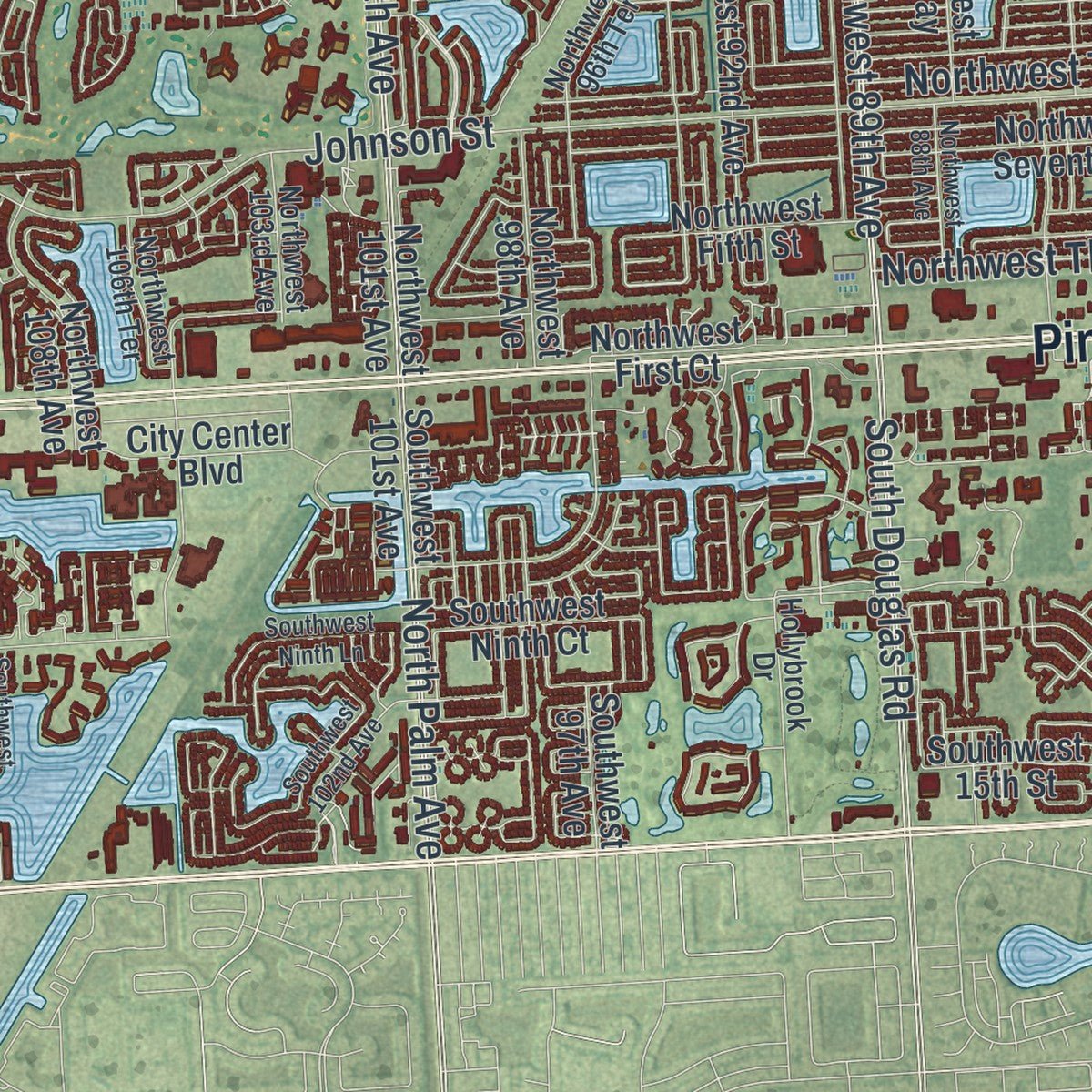
Explore Pembroke Pines, Florida from a whole new perspective. Created using aerial imagery and detailed geographic data, this map captures Pembroke Pines building by building, with labeled streets, familiar landmarks, and shaded topographical relief that highlights the natural contours of the landscape.
Combining modern data with the timeless character of a vintage atlas, this map is just as interesting up close as it is beautiful on the wall. Whether you grew up in Pembroke Pines, spent memorable years there, or call it home today, this unique map is a great way to celebrate a place that means something to you. Zoom in on the preview to look for your street, and then order a print to put your memories on the wall.

Three ways to hang it
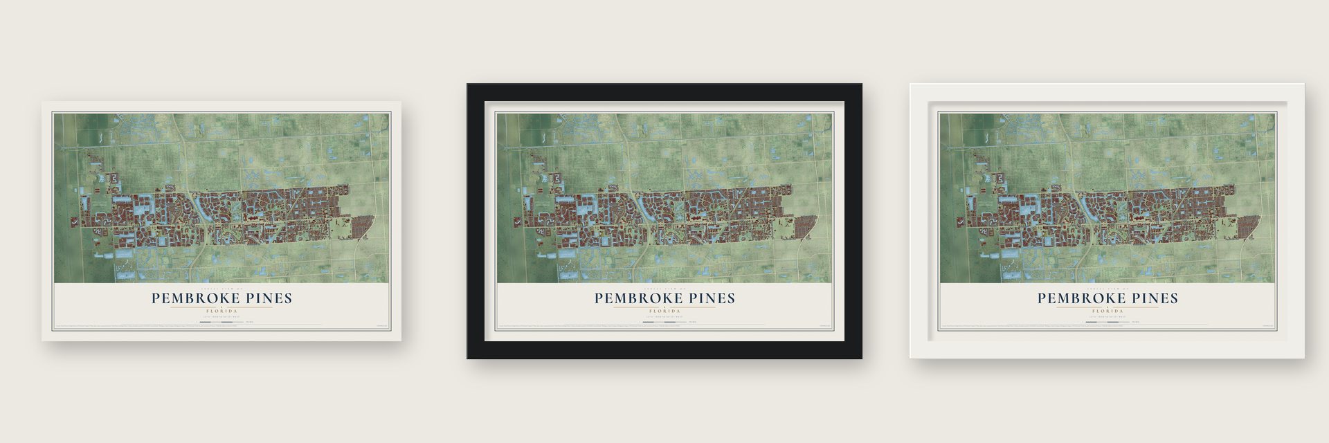
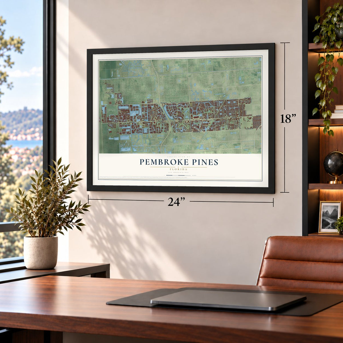
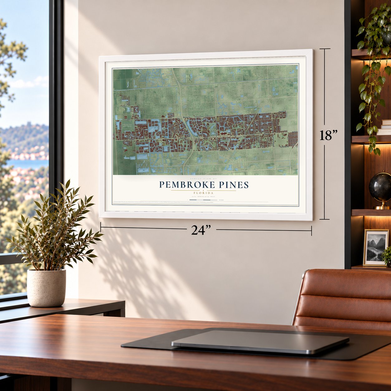
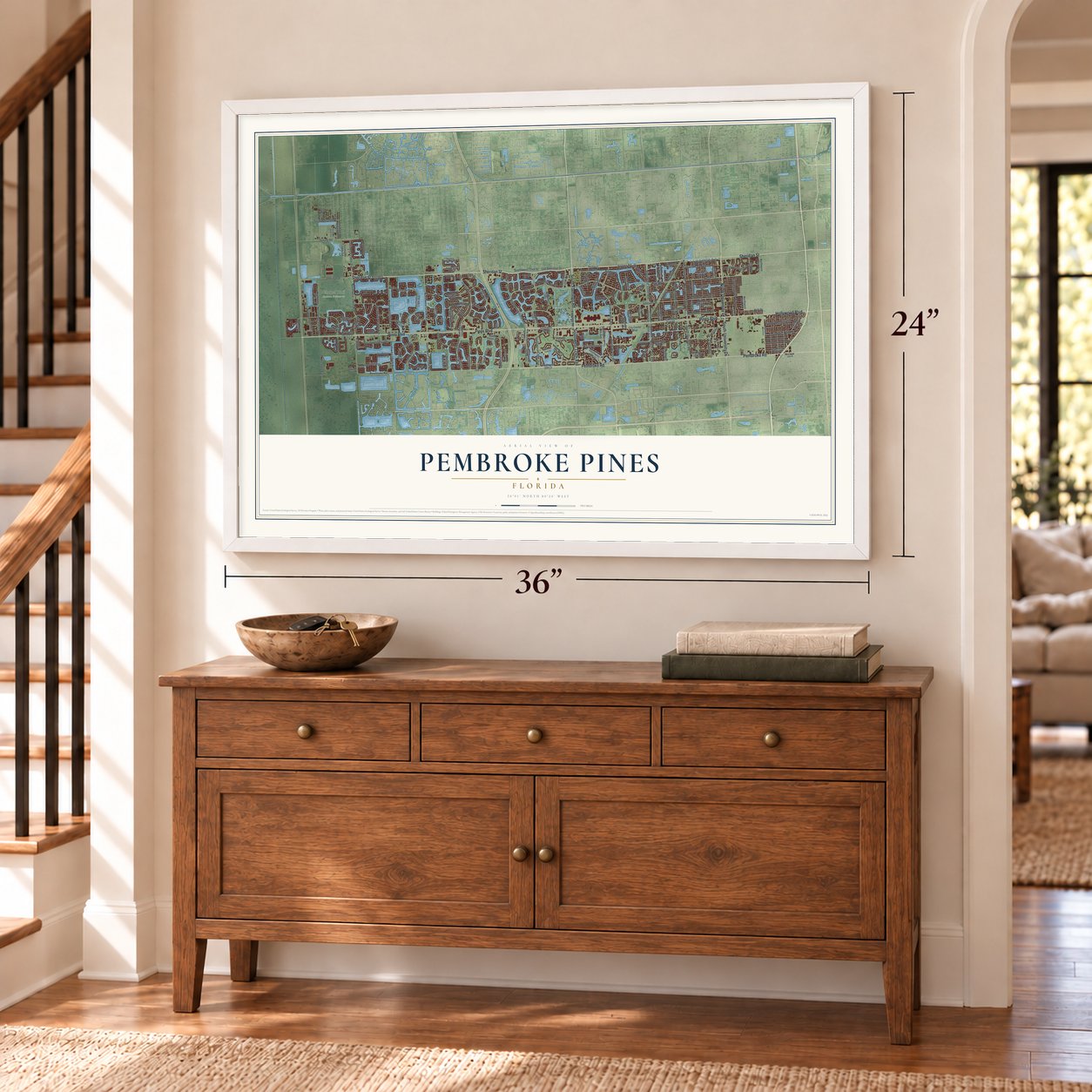
Unframed archival matte, a black wood frame or a white wood frame.
Up close
Geography Worth Displaying
This map was created using accurate cartographic data and authoritative geographic sources, including the U.S. Geological Survey (USGS) and FEMA. The map brings together terrain, waterways, roads, and building detail. The majority of the streets are labeled, houses are accurately depicted, and the topography is derived from government sources. Combining local data with carefully composed color and shading leads to this beautifully detailed Pembroke Pines artwork for your wall.
Rather than simply showing street outlines, we’ve included as many of the street names as we could reasonably fit on the map while keeping their names legible. Zoom in on the high resolution preview to see exactly what’s on the map. We truly set out to create a statement piece for anyone who loves Pembroke Pines. So whether it’s for you, or a gift for someone you love, we hope this map of Pembroke Pines brings back fond memories.
Explore the full map of Pembroke Pines, Florida and read about the local places it shows.

About Pembroke Pines, Florida
Pembroke Pines is a city of 171,178 people in southern Broward County, 22 miles north of Miami. Native Americans first lived here about 4,000 years ago. Much later the land was dairy country, and the Waldrep Dairy Farm held much of the east side, including the ground under today's Pembroke Lakes Mall. Homes came after World War II, as retiring service members settled here, and the first two subdivisions both took the name Pembroke Pines.
Residents voted to form a village in 1959, but builders challenged the incorporation, and a court fight over its boundaries followed. A second election turned the village into a city on January 16, 1960. The new city covered less than a square mile, from Hollywood Boulevard to Southwest 72nd Avenue, with Florida's Turnpike on its east side, and University Drive marked the western edge of land fit for homes.
- Named by the first mayorIn 1882 Sir Edward J. Reed, who represented the County of Pembroke in Britain's Parliament from 1874 to 1880, formed the Florida Land and Mortgage Company. It bought 2 million acres from Hamilton Disston, mostly swamp scattered across southern Florida, and a road through one tract came to be called Pembroke Road. Walter Smith Kipnis, the first mayor, proposed Pembroke Pines for the pines that grew along it. His 1956 house was among the city's first homes.
- Doubled in 1980North Perry Airport and the South Florida State Hospital boxed in the tiny city. Developer Joseph LaCroix opened the way west by asking the city to annex his 320 acres north of Pines Boulevard. Along with C.B. Smith Park, it gained the Hollywood Sportatorium and the Miami-Hollywood Motorsports Park.
- The Sugaree of May 1977Three years before its land joined the city, the Hollywood Sportatorium hosted the Grateful Dead in May 1977. Many Deadheads call the Sugaree from that night's first set the best the band ever played, and especially Jerry Garcia's finest take on the song.
- Third fastest growing in 1999Hurricane Andrew hit in 1992, and thousands of people moved from southern Miami-Dade County to Broward, many to Pembroke Pines. In 2003, nearly 6,000 students attended Charles W. Flanagan High School, more than any other in Florida.
- Wilma's winds in 2005Hurricane Wilma's eye crossed about 20 miles north of the city in late October 2005. Residents felt their strongest winds in decades, with sustained winds of 92 miles per hour and a gust of 101. Power was out across most of the city for days, traffic lights were destroyed and schools stayed closed for two weeks.
Find your street
Names on the Pembroke Pines map
Every name below is printed on this map. Look for your street, your school, the park where you played, or the pond down the road.
Places and landmarks1
- Chapel Trail Nature Preserve
Streets and roads174
- Pines Boulevard
- Sheridan Street
- Pembroke Road
- South Flamingo Road
- North University Drive
- Southwest 124th Avenue
- Hollywood Boulevard
- South University Drive
- Northwest Tenth Street
- Northwest 20th Street
- Southwest Fifth Street
- Northwest Third Street
- Southwest Third Street
- Northwest 89th Avenue
- Stirling Road
- Northwest 186th Avenue
- Taft Street
- Johnson Street
- Dykes Road
- Southwest 14th Street
- North Palm Avenue
- Northwest Twelfth Street
- Northwest 172nd Avenue
- Southwest 196th Avenue
- Southwest 100th Avenue
- Southwest 172nd Avenue
- Southwest 72nd Street
- South Douglas Road
- Northwest 18th Court
- Old Sheridan Street
Show all 174 streets
- Washington Street
- North Hiatus Road
- Southwest Ninth Street
- Northwest 196th Avenue
- Northwest 184th Avenue
- Grand Palm Drive
- Northwest 142nd Avenue
- Northwest 77th Way
- Pasadena Boulevard
- Access Road
- Northwest 17th Street
- Northwest 209th Avenue
- South Hiatus Road
- Southwest 136th Avenue
- Southwest 184th Avenue
- Northwest 208th Avenue
- Cypress Drive
- Southwest 54th Place
- Poinciana Drive
- Sabal Palm Drive
- Joe Drive
- 24th Street
- Southwest Twelfth Street
- Northwest 23rd Street
- Southwest 16th Street
- Southwest 15th Street
- Southwest 13th Street
- Northwest 18th Street
- Northwest Second Street
- Southwest Seventh Street
- Northwest 22nd Street
- Southwest First Street
- Northwest 195th Avenue
- Northwest 97th Avenue
- Northwest 98th Avenue
- Southwest 161st Avenue
- Southwest 128th Terrace
- Southwest 70th Street
- Northwest 160th Avenue
- Northwest 15th Street
- Northwest 19th Street
- Northwest Eighth Street
- Northwest Fourth Street
- Northwest Fifth Street
- North Douglas Road
- Southwest 16th Court
- Southwest 160th Avenue
- Northwest Ninth Street
- Northwest 136th Avenue
- Northwest 101st Avenue
- Northwest 16th Court
- Southwest Ninth Court
- Northwest Seventh Court
- Northwest 129th Avenue
- Northwest 178th Avenue
- Northwest 24th Place
- Northwest 155th Avenue
- Northwest 76th Avenue
- Northwest First Court
- Southwest 145th Avenue
- Southwest 101st Avenue
- Southwest 178th Avenue
- Northwest 108th Avenue
- Southwest 198th Terrace
- Northwest 106th Avenue
- Southwest 142nd Avenue
- Northwest 114th Avenue
- Northwest 92nd Avenue
- Southwest 191st Avenue
- Northwest 208th Terrace
- Southwest 208th Avenue
- Northwest 164th Avenue
- Southwest 199th Avenue
- Southwest 13th Court
- Southwest 167th Avenue
- Northwest 119th Avenue
- Northwest 72nd Avenue
- Cedarwoods Avenue
- Northwest 87th Way
- Northwest 23rd Place
- Palm Drive
- Southwest 64th Way
- 168th Avenue
- Northwest 125th Avenue
- Grand Palms Drive
- City Center Boulevard
- Southwest 97th Avenue
- Northwest 215th Avenue
- Southwest 203rd Avenue
- Southwest 114th Avenue
- Polk Street
- 120 Avenue
- North Flamingo Road
- Northwest 21st Street
- Southwest Sixth Street
- Northwest 14th Court
- Segovia Circle North
- Northwest First Street
- Southwest Fourth Street
- Southwest 147th Avenue
- Northwest 96th Terrace
- Northwest 93rd Avenue
- Southwest Tenth Court
- Northwest 24th Court
- Northwest Ninth Drive
- Northwest 103rd Avenue
- Northwest 106th Terrace
- Southwest 159th Terrace
- Southwest 182nd Avenue
- Florida Drive
- Northwest 74th Avenue
- Northwest 155th Terrace
- Northwest 122nd Avenue
- Fairway Road
- Northwest 114th Terrace
- Northwest 82nd Terrace
- Hollybrook Drive
- Northwest 175th Avenue
- 152nd Avenue
- 167th Avenue
- Northwest 13th Street
- Northwest 88th Avenue
- Southwest 109th Avenue
- 142nd Way
- Northwest 14th Street
- Southwest Tenth Street
- Southwest 202nd Avenue
- Northwest 169th Avenue
- Southwest 72nd Avenue
- Southwest 195th Avenue
- Southwest 205th Avenue
- Southwest 102nd Avenue
- Southwest 14th Court
- Northwest 24th Street
- West Fairway Road
- Southwest 145th Terrace
- Northwest 78th Terrace
- 15th Street
- Southwest Ninth Lane
- Southwest 18th Street
- 157th Avenue
- 142nd Terrace
- 177th Avenue
- 160th Terrace
Names are listed as they appear on the printed map. Zoom into the product photos to find them.
The art of mapping a place
How This Map Was Made
Real places. Remarkable detail. Discover the layers that turn geographic data into a map of home.

The view from above
Aerial imagery reveals the character of the land: woodland, open fields, and the patterns of a place.

The shape of the land
Elevation data brings hills, valleys, and subtle changes in the landscape into view.

The details of home
Roads, waterways, and building footprints come together to make the map feel unmistakably local.

Geography becomes art
Considered color, shading, and typography bring the layers together in a map made for your wall.


Process illustrated with Mendon, Massachusetts. Aerial imagery: USDA NAIP. Terrain: USGS 3D Elevation Program. Map details and finished artwork: KNOWOL.
The Details
About This Print
Choose an archival matte print, or a black or white Ayous wood frame. The archival matte print is unframed.
Select your size and finish above to see the matching product image and price.
Materials & Craftsmanship
A contemporary map with the character of a classic atlas, printed on archival matte paper. Optional frames are made from Ayous wood.
Your printed map does not include the watermark shown in the full-map preview.
Shipping & Delivery
Free shipping within the United States. Every print is made to order in the USA.
Buying a gift? Add a note in your cart and we'll include it. We never put prices in the package.
Prints ship within 2 to 3 business days. Allow 7 to 10 days total from ordering for delivery. Timing may vary during holidays or periods of high order volume.
Read our shipping policy.
Returns and damaged prints
Each print is made to order. Change-of-mind refunds are not available after production.
If your print arrives damaged, misprinted or incorrect, contact support@knowol.com within 30 days of receiving it. Include your order number, photos and a description of the issue.
Read our full refund and replacement policy. For questions about your order, email support@knowol.com.
Find your town
Looking for another city?
Find a map of home in our Florida collection, or any town in the country.
Nearby
Maps of towns near Pembroke Pines
Know someone from one of these towns? Their map makes a great gift.
 Miramar
, Florida
From $39.99See the map
 Southwest Ranches
, Florida
From $39.99See the map
 Cooper City
, Florida
From $39.99See the map
More maps nearby: Country Club, Palm Springs North, Davie, Weston and Miami Lakes.