
Search for another town




Free U.S. delivery 7 to 10 days after you order
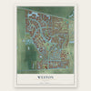
Weston, Florida Map Art
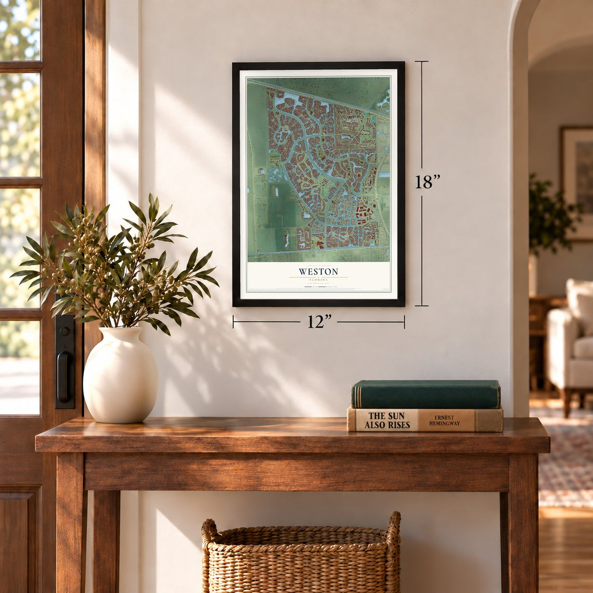
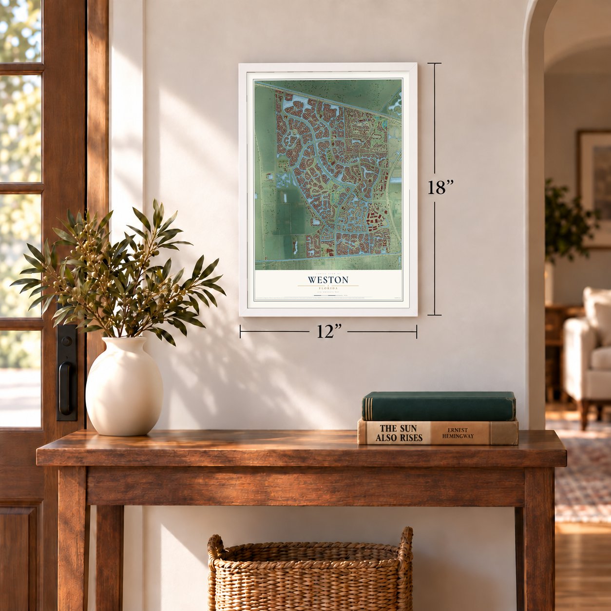
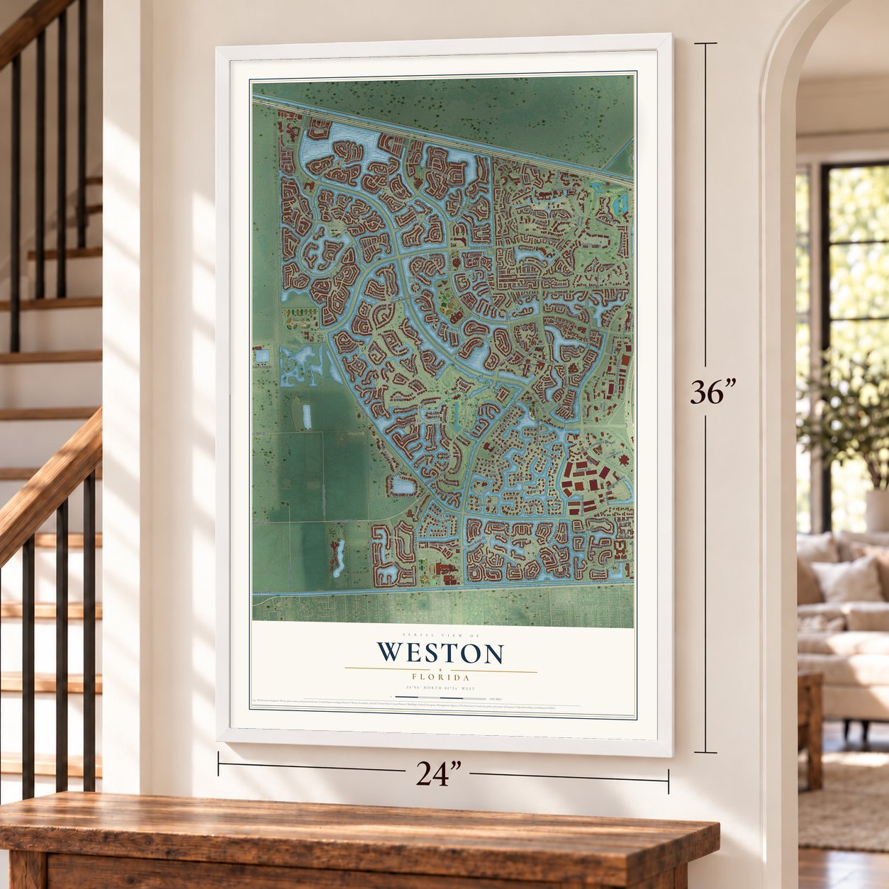
A new map of Weston, Florida, made in 2026 and printed to order on thick archival matte paper.
12" x 18" Archival Matte Print
A Map of Home. A Work of Art.
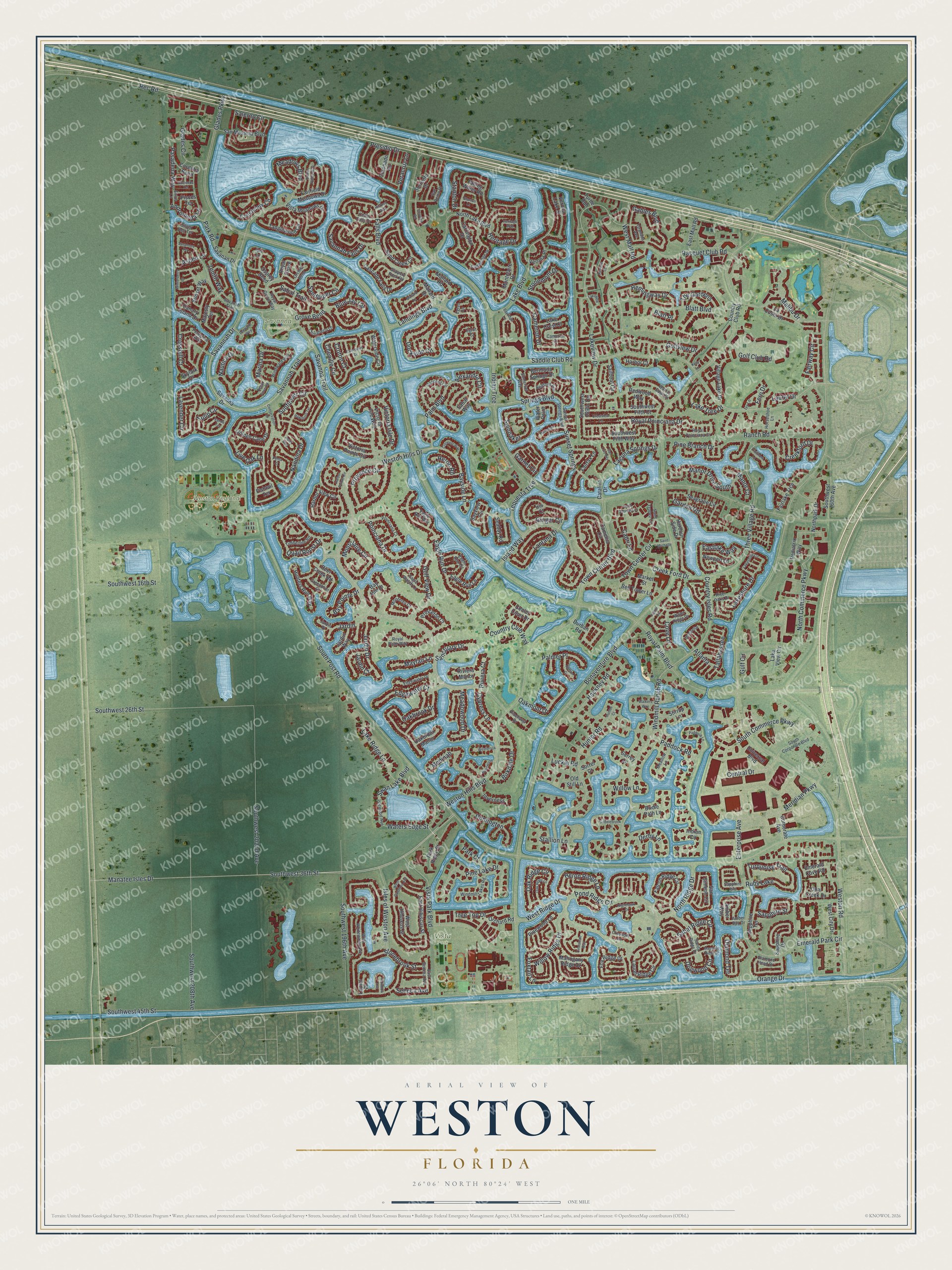
Explore Weston, Florida from a whole new perspective. Created using aerial imagery and detailed geographic data, this map captures Weston building by building, with labeled streets, familiar landmarks, and shaded topographical relief that highlights the natural contours of the landscape.
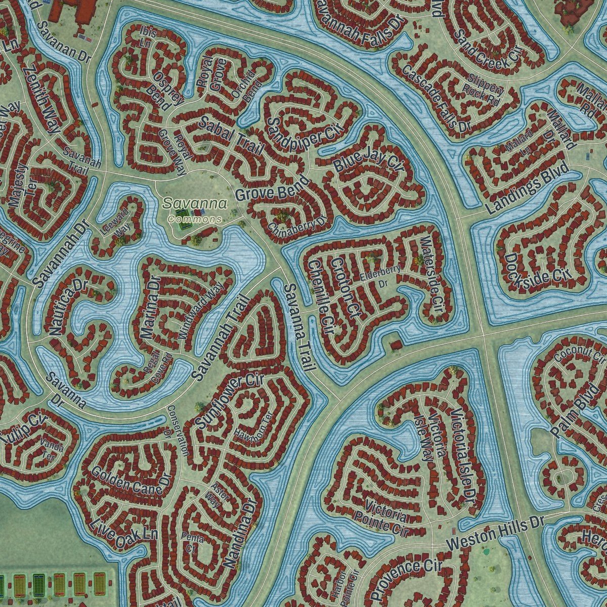
Combining modern data with the timeless character of a vintage atlas, this map is just as interesting up close as it is beautiful on the wall. Whether you grew up in Weston, spent memorable years there, or call it home today, this unique map is a great way to celebrate a place that means something to you. Zoom in on the preview to look for your street, and then order a print to put your memories on the wall.
Three ways to hang it
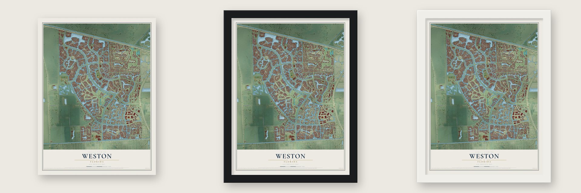
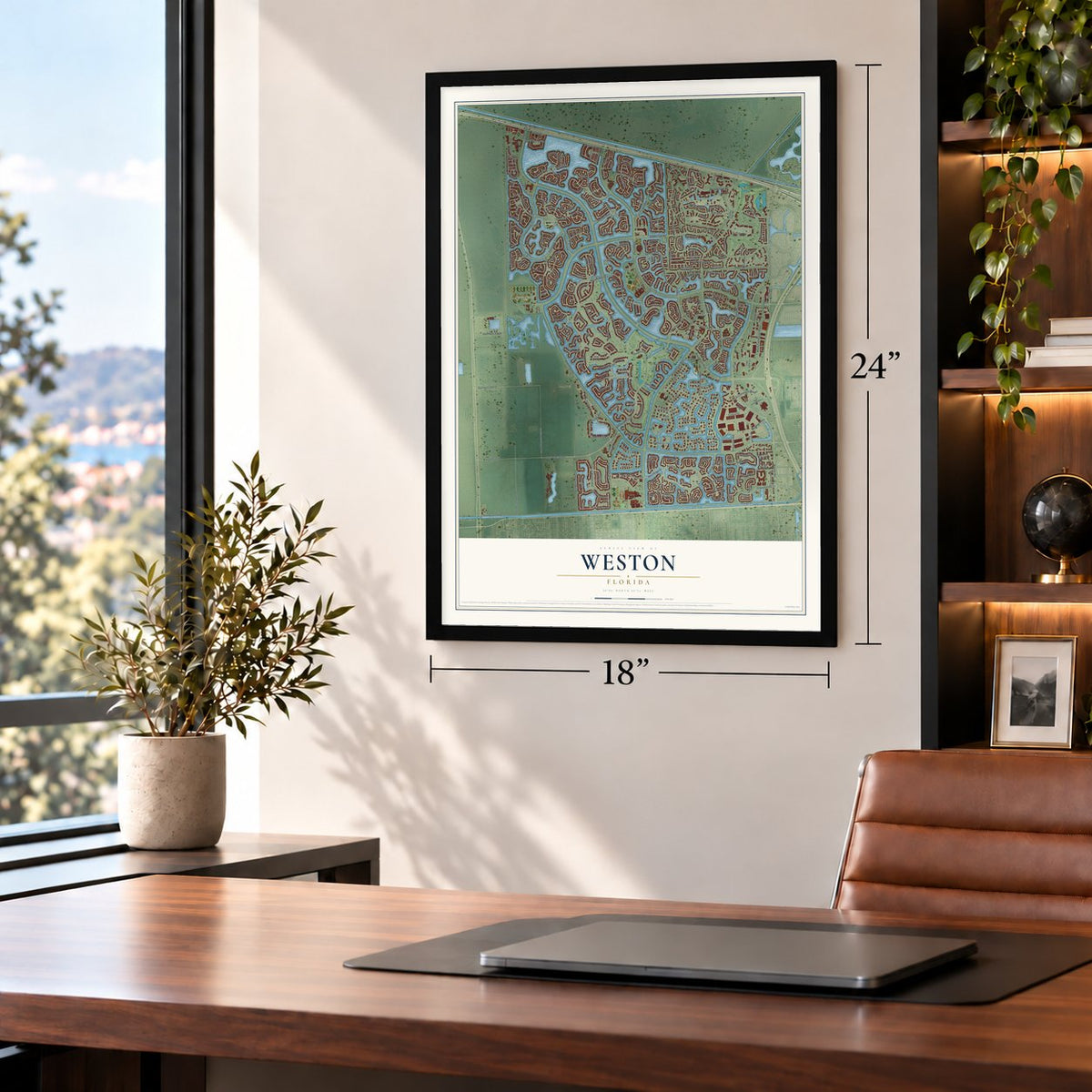
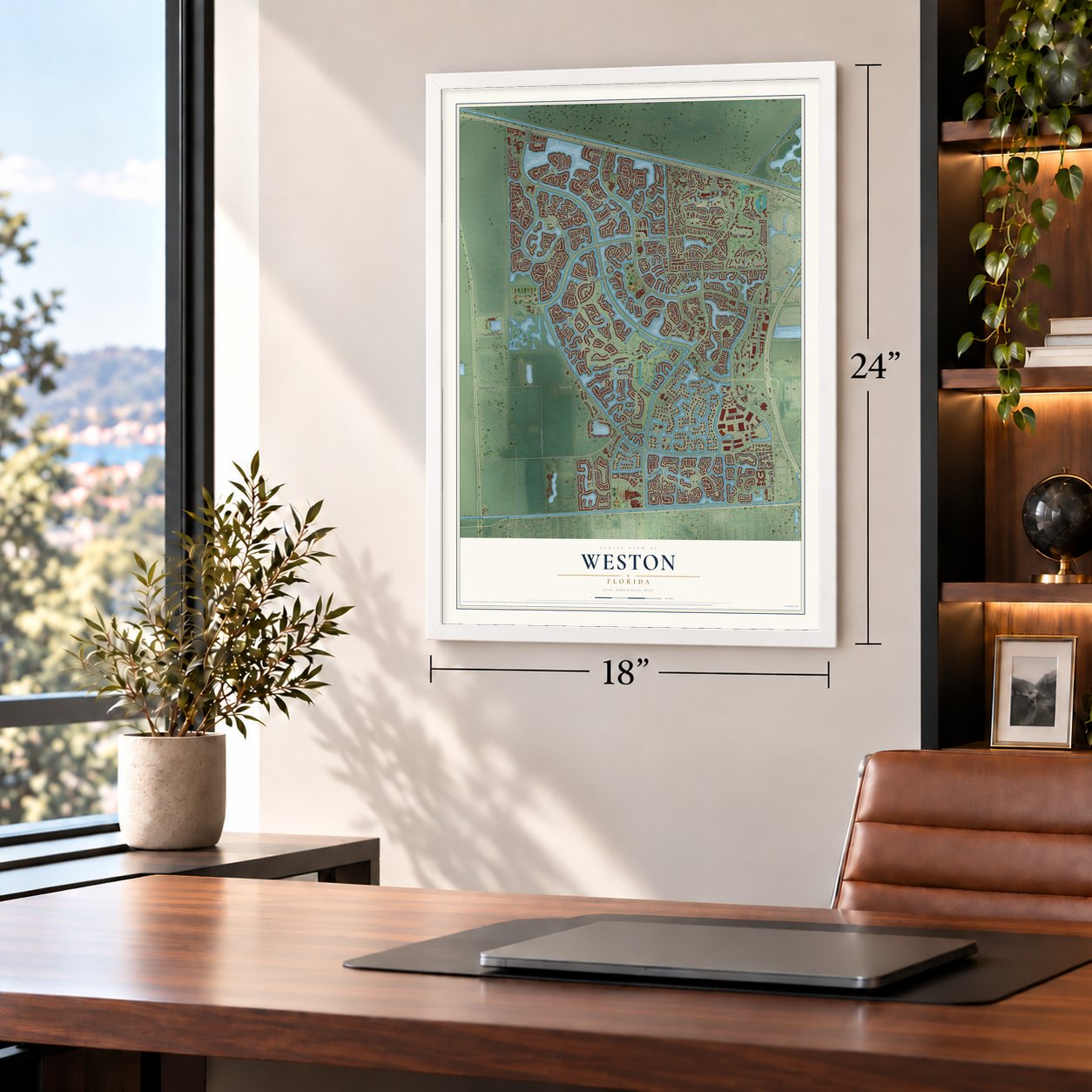
Unframed archival matte, a black wood frame or a white wood frame.
Up close
Geography Worth Displaying
This map was created using accurate cartographic data and authoritative geographic sources, including the U.S. Geological Survey (USGS) and FEMA. The map brings together terrain, waterways, roads, and building detail. The majority of the streets are labeled, houses are accurately depicted, and the topography is derived from government sources. Combining local data with carefully composed color and shading leads to this beautifully detailed Weston artwork for your wall.
Rather than simply showing street outlines, we’ve included as many of the street names as we could reasonably fit on the map while keeping their names legible. Zoom in on the high resolution preview to see exactly what’s on the map. We truly set out to create a statement piece for anyone who loves Weston. So whether it’s for you, or a gift for someone you love, we hope this map of Weston brings back fond memories.
Explore the full map of Weston, Florida and read about the local places it shows.
About Weston, Florida
Weston is a master-planned city of 68,107 people in Broward County, on the county's far western edge where the land meets the Everglades. In the 1950s the industrialist Arthur Vining Davis, Arvida's first owner, took control of about 15,000 acres here. One piece, Bonaventure, was sold off and built up on its own, while Arvida/JMB Realty developed the rest as a planned community first called Indian Trace.
In the early 1980s the community took the name Weston, and the first Arvida homes were finished in Country Isles and Windmill Ranch in 1984. In 1994 the Board of Supervisors began weighing whether to become a city, join a neighbor or stay unincorporated. By November 1995 it chose to incorporate, so residents could run their own affairs and keep their local taxes at home. The state legislature approved the plan on May 6, 1996, about 90% of voters said yes, and Weston became a city on September 3, 1996.
- Bonaventure joins in 1997The 1996 law gave the Bonaventure section a choice between joining Weston or neighboring Sunrise. On April 1, 1997, its voters picked Weston by nearly two to one. Bonaventure and Indian Trace remain the city's two development districts.
- The Peace MoundLong before any planned neighborhood, the Tequesta and their ancestors lived on this land. They left a midden, now called the Peace Mound, that dates to the late Archaic and Glades culture periods, from 3000 BCE to 1530 CE. It is preserved in Peace Mound Park.
- A town center in 1999Work on Weston Town Center began in November 1999 at Royal Palm and Bonaventure boulevards. The 32-acre project cost $42 million. Along with shops and restaurants, it has a bell tower, an outdoor amphitheater for city events and Weston Town Center Park, a 1.2-mile park that follows the lake.
- Weston Regional ParkThe city's largest public park opened in 2000 on 102 acres and is home to the Weston Hawks. It is one of 15 parks and recreation sites the city runs.
Find your street
Names on the Weston map
Every name below is printed on this map. Look for your street, your school, the park where you played, or the pond down the road.
Places and landmarks4
- Savanna Commons
- Vista Park
- Weston Regional Park
- Ruby Lake
Streets and roads357
- Lake Boulevard
- Waters Edge Street
- South Commerce Parkway
- Racquet Club Road
- Golfview Drive
- Saddle Club Road
- Lakeview Drive
- Fairway Circle
- Lake Ridge Lane
- Meridian Parkway
- Central Drive
- Seneca Avenue
- Weston Hills Drive
- Bonaventure Boulevard
- Glades Parkway
- South Post Road
- Indian Trce
- Weston Road
- Manatee Isles Drive
- Royal Palm Boulevard
- Southwest 36th Street
- Savannah Trail
- Orange Drive
- Savannah Drive
- Blatt Boulevard
- Paddock Road
- Creek Ford Drive
- Three Village Road
- Weston Hills Boulevard
- Pond Ridge Circle
Show all 357 streets
- Windmill Ranch Road
- Island Way
- Emerald Park Circle
- Landings Boulevard
- Springs Boulevard
- Vista Park Boulevard
- Ranch Road
- Quail Roost Drive
- Southwest 26th Street
- Southwest 202nd Avenue
- North Commerce Parkway
- Southwest 208th Avenue
- Southwest 196th Avenue
- Nandina Drive
- Rec Road
- Hunter Road
- Meadows Boulevard
- Palm Boulevard
- Falls Boulevard
- Dockside Circle
- Royal Poinciana Drive
- Stonemont Drive
- Gables Boulevard
- Golf Club Road
- Salerno Circle
- Spinnaker
- Sunflower Circle
- Eagle Run Drive
- Heron Ridge Lane
- Heritage Drive
- Town Center Boulevard
- Lavender Circle
- Savanna Trail
- West Ridge Drive
- Chenille Circle
- Ginger Circle
- Provence Circle
- Savannah Falls Drive
- Stanton Drive
- Country Isles Road
- West Mall Road
- Manor Drive South
- Oakbrook Drive
- Presidio Drive
- Laguna Springs Drive
- Pine Lake Drive
- Crestview Circle
- Southwest 45th Street
- Bayside Lane
- Cameron Drive
- Garden Road
- Pine Branch Drive
- Hackney Road
- Town Center Circle
- Glades Circle
- Blue Jay Circle
- Aspen Lane
- Victoria Isle Drive
- Montclaire Circle
- Sunset Springs
- Isles of Weston Avenue
- Mayfair Lane
- Golf View Drive
- Garnet Circle
- Poinciana Drive
- Marina Drive
- Tulip Circle
- Oak Ridge Circle
- Eastlake Way
- Medinah
- Swan Lake Boulevard
- Creekford Drive
- Foxtail Lane
- Sandpiper Circle
- North Ridge Drive
- Southwest 16th Street
- Stonebrook Street
- Huntington
- Hemingway Drive
- Jardin Drive
- Malibu Drive
- Willow Ridge Drive
- Oakmont Drive
- Tequesta Trce
- Sabal Trail
- Sabal Ridge Circle
- Capri Lane
- Palmer Place
- Lantana Drive
- Lake Tree Drive
- Birkdale Drive
- Edgewater Court
- Turquoise Trail
- Lakeshore Drive
- Meadowood Drive
- Derby Lane
- Crossbill Court
- Andromeda Lane
- Enterprise Avenue
- Dogwood Circle
- Tree Top Drive
- Country Club Way
- Cove Lane
- The Gardens
- Alexandra Circle
- Jardin
- Tallahassee
- Grove Bend
- Sapphire Street
- Zenith Way
- Live Oak Lane
- Pasadena Way
- Stallion Lane
- Sanctuary Drive
- Blatt Place
- Cypress Lane
- Luckie Road
- Veracruz Lane
- Laurel Drive
- Bay Pointe Drive
- Willow Lane
- Gulf Circle
- Diamond Terrace
- Park Road
- Manor Court
- Nautica Drive
- Croton Court
- Atlanta
- Jardin Court
- Fern Drive
- Heron Road
- Riviera Court
- Park Court
- Park Ridge Street
- West Hibiscus Street
- Sapphire Drive
- Amber Way
- Southwest Fifth Way
- San Simeon Circle
- Northpark Drive
- Deer Creek Road
- Redwood Way
- Sorrento Drive
- Universal Boulevard
- East Hibiscus Street
- Savanna Drive
- Victoria Pointe Circle
- Camellia Circle
- Harbor View Circle
- Sand Creek Circle
- Mahogany Ridge Drive
- Tanglewood Circle
- Fox Ridge Drive
- Falling Water Road
- Southwest 169th Terrace
- Mallard Road
- Majesty Terrace
- Golden Cane Drive
- North Lake Boulevard
- Falcon Ridge Circle
- Harbour Side Drive
- Canary Island Drive
- Laurel Ridge Circle
- Sailboat Circle
- Skylark Drive
- Carrington Drive
- Cascade Falls Drive
- Vista Meadows Drive
- Seagrape Circle
- Princeton Court
- Fairlake Trce
- Southwest Fifth Court
- La Costa Drive
- Bayview Circle
- Center Court Drive
- Orchard Road
- Bermuda Springs Drive
- Verona Lake Drive
- Fairfield Meadows Drive
- Royal Grove
- Waterside Circle
- Seabay Road
- Sabal Way
- San Messina Boulevard
- West City Drive
- Fairfax Lane
- Bell Tower Lane
- Southwest 160th Avenue
- Village Lake Drive
- Montclaire Drive
- Harbor Court
- Opal Creek Drive
- Market Street
- Pediatrix Way
- Emerald Cove Road
- Hunters Run Way
- Osprey Bend
- Pinewood Lane
- Sapphire Terrace
- Sunset Way
- Turtle Run
- Eagle Run Lane
- Inverness
- Bay Isle Drive
- Newport Lane
- East Mall Road
- Verona Place
- Catalina Drive
- Savanan Drive
- Victoria Isle Way
- Coronado Road
- Bridle Path Lane
- Corporate Avenue
- Stirrup Lane
- Cordoba Bend
- Lake Crest Court
- Oakbrook Manor
- Country Club Road
- Lake View Circle
- Riviera Manor
- Jardin Way
- Pisces Terrace
- Mallard Drive
- Indian Circle
- Sorrel Court
- Durban Road
- Fishtail Terrace
- Laurel Place
- Old Still Lane
- Water Point
- Surrey Lane
- Iris Court
- Amber Bay Drive
- Sunset Springs Boulevard
- Saint Tropez Circle
- Coconut Circle
- West Whitewater Avenue
- Royal Grove Way
- Water Ridge Drive
- Windmill Lakes Road
- San Remo Drive
- Cedar Falls Drive
- Royal Palm Way
- Cambridge Drive
- Savanah Trail
- Sandy Ridge Drive
- Poinciana Court
- Monterey Court
- Peregrine Way
- Islewood Avenue
- Waters Edge Drive
- Chinaberry Drive
- Somerset Way
- Edgewater Drive
- Bedford Avenue
- Cameron Court
- Eagle Run Circle
- South Corporate Boulevard
- Slippery Rock Road
- Windward Way
- Eagle Run Way
- River Oaks Drive
- Royal Poinciana Court
- Orchid Bend
- Eagle Watch Lane
- Timberline Road
- East Seneca Avenue
- Granada Avenue
- Horseshoe Lane
- Meadow Lane
- Greenbrier Court
- Diamond Head Drive
- Sapphire Isle
- Pinehurst Drive
- Ivy Lane
- Crossbill Lane
- Silver Bell Terrace
- Sirius Lane
- Egret Lane
- Jardin Place
- Egret Court
- Ibis Lane
- West Gardenia Avenue
- Nighthawk Drive
- Conservation Drive
- Harbor Pointe Circle
- Talavera Road
- Elderberry Drive
- Paddock Lane
- Oak Ridge Lane
- Winterberry Lane
- Island Circle
- Magnolia Ridge Drive
- Saint Michelle
- Lakeshore Circle
- Saint Gabrielle Lane
- Danielle Court
- Heritage Way
- Hawthorn Terrace
- Montpeliar
- Wentworth
- Crescent Way
- Bayridge Lane
- Hidden Valley Way
- Sycamore Terrace
- Crestview Lane
- Hampton Court
- Vanda Terrace
- Saddlebrook Lane
- Nelson Court
- Regal Cove Road
- Mallard Lane
- San Luis Rey
- Hickory Way
- Hacienda Terrace
- Walkers Way
- Westbrook
- Trailmore Lane
- Lakeview
- Cinnamon Way
- Kelly Lane
- Leeward Way
- Stanton Lane
- Rainbow Avenue
- Hunter Court
- Aster Way
- Penta Court
Names are listed as they appear on the printed map. Zoom into the product photos to find them.
The art of mapping a place
How This Map Was Made
Real places. Remarkable detail. Discover the layers that turn geographic data into a map of home.

The view from above
Aerial imagery reveals the character of the land: woodland, open fields, and the patterns of a place.

The shape of the land
Elevation data brings hills, valleys, and subtle changes in the landscape into view.

The details of home
Roads, waterways, and building footprints come together to make the map feel unmistakably local.

Geography becomes art
Considered color, shading, and typography bring the layers together in a map made for your wall.


Process illustrated with Mendon, Massachusetts. Aerial imagery: USDA NAIP. Terrain: USGS 3D Elevation Program. Map details and finished artwork: KNOWOL.
The Details
About This Print
Choose an archival matte print, or a black or white Ayous wood frame. The archival matte print is unframed.
Select your size and finish above to see the matching product image and price.
Materials & Craftsmanship
A contemporary map with the character of a classic atlas, printed on archival matte paper. Optional frames are made from Ayous wood.
Your printed map does not include the watermark shown in the full-map preview.
Shipping & Delivery
Free shipping within the United States. Every print is made to order in the USA.
Buying a gift? Add a note in your cart and we'll include it. We never put prices in the package.
Prints ship within 2 to 3 business days. Allow 7 to 10 days total from ordering for delivery. Timing may vary during holidays or periods of high order volume.
Read our shipping policy.
Returns and damaged prints
Each print is made to order. Change-of-mind refunds are not available after production.
If your print arrives damaged, misprinted or incorrect, contact support@knowol.com within 30 days of receiving it. Include your order number, photos and a description of the issue.
Read our full refund and replacement policy. For questions about your order, email support@knowol.com.
Find your town
Looking for another city?
Find a map of home in our Florida collection, or any town in the country.
Nearby
Maps of towns near Weston
Know someone from one of these towns? Their map makes a great gift.
 Southwest Ranches
, Florida
From $39.99See the map
 Pembroke Pines
, Florida
From $39.99See the map
 Davie
Davie, Florida
From $39.99See the map
More maps nearby: Cooper City, Plantation, Miramar, Sunrise and Tamarac.