
Search for another town



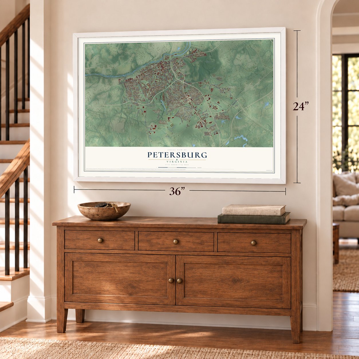

Free U.S. delivery 7 to 10 days after you order
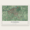
Petersburg, Virginia Map Art
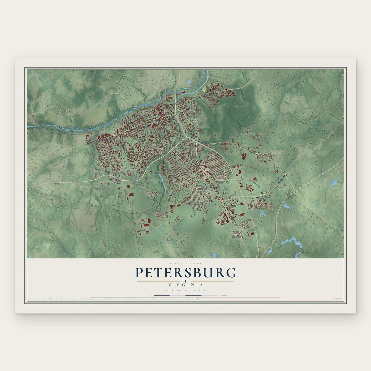
A new map of Petersburg, Virginia, made in 2026 and printed to order on thick archival matte paper.
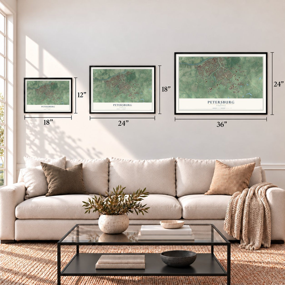
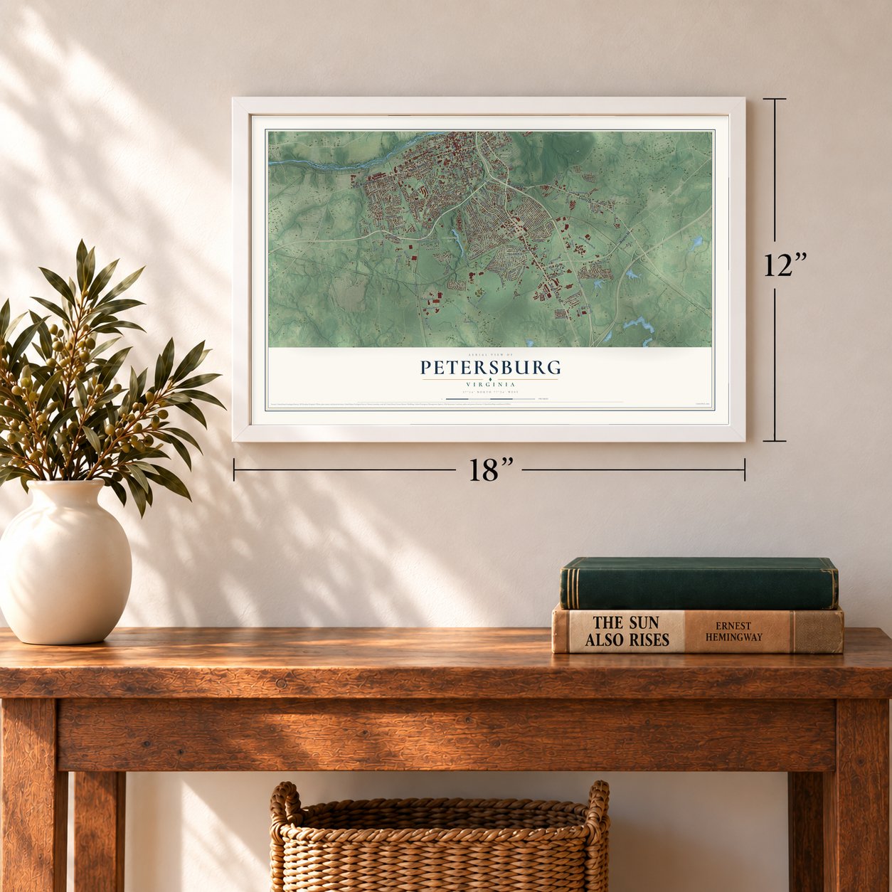
12" x 18" Archival Matte Print
A Map of Home. A Work of Art.
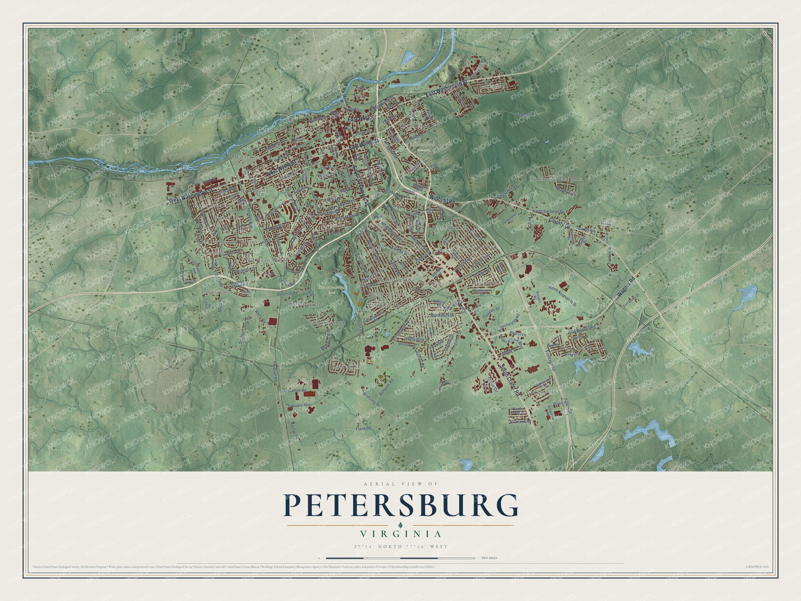
Explore Petersburg, Virginia from a whole new perspective. Created using aerial imagery and detailed geographic data, this map captures Petersburg building by building, with labeled streets, familiar landmarks, and shaded topographical relief that highlights the natural contours of the landscape.
Combining modern data with the timeless character of a vintage atlas, this map is just as interesting up close as it is beautiful on the wall. Whether you grew up in Petersburg, spent memorable years there, or call it home today, this unique map is a great way to celebrate a place that means something to you. Zoom in on the preview to look for your street, and then order a print to put your memories on the wall.
Three ways to hang it
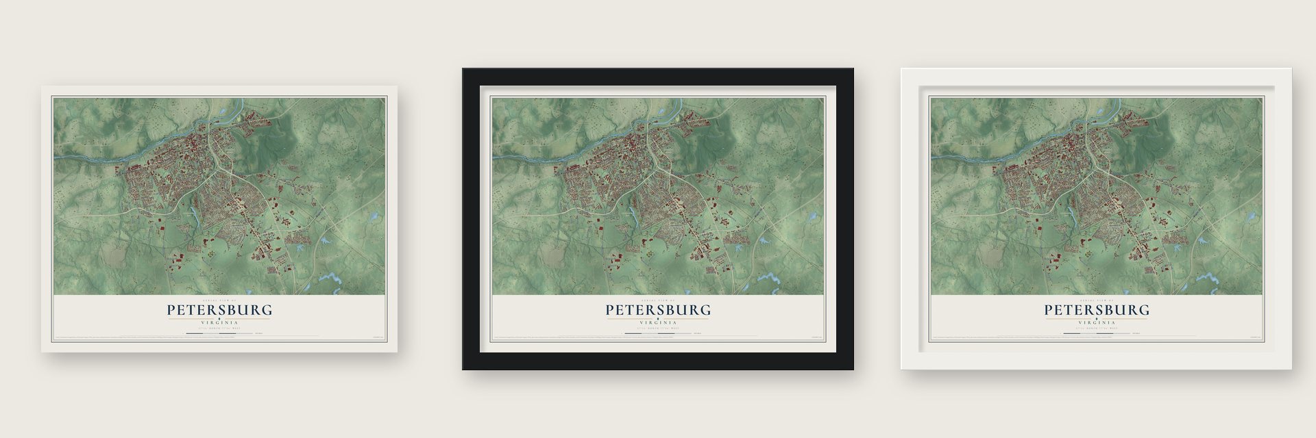
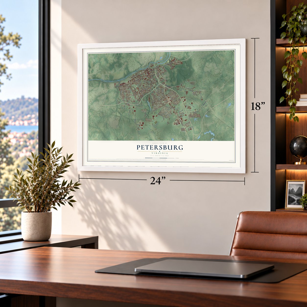
Unframed archival matte, a black wood frame or a white wood frame.
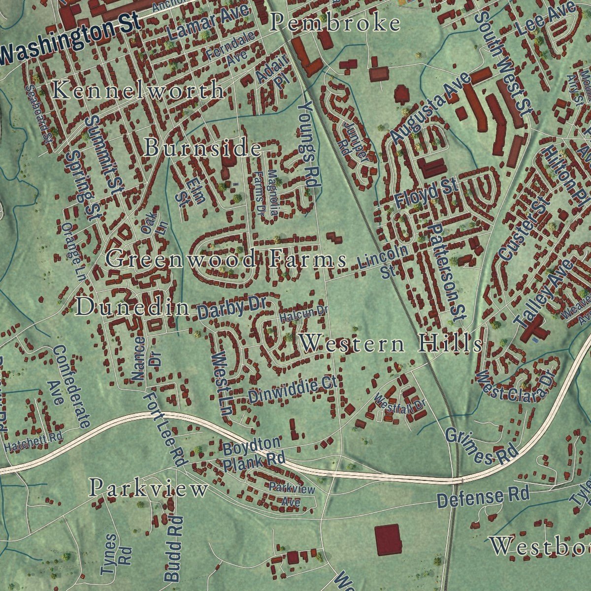
Up close
Geography Worth Displaying
This map was created using accurate cartographic data and authoritative geographic sources, including the U.S. Geological Survey and the Census Bureau. The map brings together terrain, waterways, roads, and building detail. The majority of the streets are labeled, houses are accurately depicted, and the topography is derived from government sources. Combining local data with carefully composed color and shading leads to this beautifully detailed Petersburg artwork for your wall.
Rather than simply showing street outlines, we’ve included as many of the street names as we could reasonably fit on the map while keeping their names legible. Zoom in on the high resolution preview to see exactly what’s on the map. We truly set out to create a statement piece for anyone who loves Petersburg. So whether it’s for you, or a gift for someone you love, we hope this map of Petersburg brings back fond memories.
Read the story behind this map of Petersburg, Virginia from 2026.
About Petersburg, Virginia
Petersburg is an independent city of 33,458 people, set where the falls of the Appomattox River begin, 21 miles south of Richmond. The Virginia Colony put up Fort Henry near those falls in 1646, close to a town of the Appamatuck people. Around 1675 Peter Jones, who commanded the fort, opened a trading post nearby that came to be called Peter's Point. William Byrd II drew up plans in 1733 for a city there named Petersburgh, and the General Assembly incorporated Petersburg and its neighbor Blandford on December 17, 1748.
A fire in 1815 did heavy damage, but the town rebuilt and grew into a center of trade and industry. A canal around the falls opened in 1816. When the river port silted up, investors built a railroad 8 miles long to City Point, on the James River, and it opened in 1838. By 1860 only Richmond was a bigger city in Virginia. Those railroads made Petersburg a Union target in the Civil War, and the siege of 1864 and 1865 brought nine months of trench warfare and the Battle of the Crater. The city had its railroads running again by 1866, but much shipping went on to Norfolk, and Petersburg never won back its old place.
- The Cockade CityIn the War of 1812, local men formed a militia unit called the Petersburg Volunteers, who wore cockades on their caps. After they fought at Fort Meigs, on the Great Lakes frontier, in May 1813, President James Madison called Petersburg the "Cockade of the Union," and the nickname Cockade City stuck.
- Churches from 1774 and 1797Black residents founded First Baptist in 1774 and Gillfield Baptist in 1797. They were the first Baptist churches in Petersburg and two of the oldest Black congregations in the country. Gillfield won title to its land in 1818 and finished a brick church costing $7000 in 1859.
- Free Black Petersburg in 1860Of the 18,366 people counted here in 1860, 3,244 were free Black residents, so nearly 26% of all free people in the city were Black, the highest share in any Southern city. Many lived on Pocahontas Island, a peninsula on the river's north shore, where waterways and friendly neighbors made it an important stop on the Underground Railroad.
- A tobacco capitalBefore the Civil War, Richmond and Petersburg ranked as the world's two largest tobacco towns. In 1861 Petersburg sold 23% of Virginia's tobacco, and by 1860 it also had three water-powered flour mills and five iron foundries.
Find your street
Names on the Petersburg map
Every name below is printed on this map. Look for your street, your school, the park where you played, or the pond down the road.
Places and landmarks28
- Petersburg City Hall
- Blandford Cemetery
- Lee Memorial Park
- Battersea
- Battlefield Park
- Berkeley Manor
- Blandford
- Burnside
- Camelot
- Dunedin
- Greenwood Farms
- Heights
Show all 28 places
- Kennelworth
- Lakemont
- Lakewood
- Oakhurst
- Parkview
- Pembroke
- Pine Gardens
- Ramblewood
- Timberly Heights
- Walnut Hill
- Walnut Hill Gardens
- Westbourne
- Westchester
- Western Hills
- Westover Park
- Woodmere
Streets and roads203
- East Washington Street
- East Wythe Street
- Winfield Road
- West Wythe Street
- East Bank Street
- West Washington Street
- County Drive
- South Crater Road
- South Sycamore Street
- Wagner Road
- Bollingbrook Street
- Crater Circle
- Summit Street
- South Jefferson Street
- Augusta Avenue
- Flank Road
- Halifax Road
- Johnson Road
- Siege Road
- Defense Road
- Dupuy Road
- Frontage Road
- Halifax Street
- Westover Avenue
- Farmer Street
- Hinton Street
- Squirrel Level Road
- Homestead Drive
- Youngs Road
- Old Wagner Road
Show all 203 streets
- North Normandy Drive
- South West Street
- Weyanoke Street
- South Park Drive
- Graham Road
- Medical Park Boulevard
- Monticello Avenue
- Hickory Hill Road
- Rives Road
- Baxter Road
- Birdsong Road
- Morton Avenue
- Ballpark Road
- North Stedman Drive
- Harrison Street
- Vaughan Road
- High Street
- Pope Lane
- South Jones Street
- Patterson Street
- Glenroy Street
- North Boulevard
- Fairfax Street
- Spring Street
- Oak Hill Road
- Shore Street
- Lee Avenue
- Terrace Avenue
- Saint Marks Street
- Grove Avenue
- Dock Street
- West High Street
- Oakland Street
- Custer Street
- North Park Drive
- Bessemer Road
- Budd Road
- Pender Avenue
- Brassfield Parkway
- River Street
- Gordon Drive
- Cavalier Drive
- Denise Road
- Seyler Drive
- Poplar Drive
- Haskell Avenue
- Byrne Street
- Industry Place
- Brierwood Road
- East Boulevard
- Talley Avenue
- Wells Road
- Arch Street
- Grimes Road
- Slagle Avenue
- Franklin Street
- Lamar Avenue
- West Lane
- Baylors Lane
- Floyd Street
- Webster Street
- Hoke Drive
- Richland Road
- Darby Drive
- Taylor Street
- Perry Street
- King Avenue
- Petty Street
- Gill Street
- Blair Road
- Hilton Place
- Pine Street
- New Street
- West Old Street
- Rolfe Street
- Boydton Plank Road
- Fort Lee Road
- Walton Street
- Pinetree Drive
- Northampton Road
- Powhatan Avenue
- Elm Street
- Jamestown Drive
- Saint Matthew Street
- Lincoln Street
- Hollyhill Drive
- Lakewood Drive
- Fort Bross Drive
- West Clara Drive
- Colston Street
- Confederate Avenue
- Longstreet Drive
- Amherst Drive
- Puddledock Road
- Tynes Road
- Wilton Road
- Gustavo Lane
- Patrick Street
- Park Avenue
- Dinwiddie Court
- Montpelier Street
- Walnut Boulevard
- South Little Church Street
- Nance Drive
- Stedman Drive
- Mill Road
- Miller Street
- Travis Lane
- South Market Street
- Blackwater Drive
- Windham Street
- Corporate Road
- North Plains Drive
- Bellevue Avenue
- Progress Place
- Prince Avenue
- Roberts Avenue
- Service Road
- Tulip Alley
- Wills Road
- North Union Street
- Field Road
- Warner Road
- Fleet Street
- Regal Court
- Tyler Road
- Adair Place
- Page Street
- Second Street
- Ferndale Avenue
- Battersea Lane
- South South Street
- Greenwood Drive
- Brown Street
- West Park Drive
- Catalpa Court
- Myrick Avenue
- Orange Lane
- Mistletoe Street
- Timber Road
- Juniper Road
- Indiana Lane
- Toll Gate Lane
- Sage Lane
- Briar Road
- Oak Lane
- Ivy Lane
- Anchor Avenue
- Mount Airy Street
- West South Boulevard
- Commerce Street
- East South Boulevard
- Mount Vernon Street
- Halcun Drive
- McKenzie Street
- Oakwood Circle
- Gibbons Avenue
- Parkview Avenue
- Forest Lane
- Seaboard Street
- Montibello Street
- North Davis Street
- Hatchett Road
- Weaver Avenue
- Eighth Street
- Magnolia Farms Drive
- Walnut Street
- Pocahontas Street
- Westfall Drive
- Fort Hayes Court
- Boisseau Drive
- East Tabb Street
- First Street
Names are listed as they appear on the printed map. Zoom into the product photos to find them.
The art of mapping a place
How This Map Was Made
Real places. Remarkable detail. Discover the layers that turn geographic data into a map of home.

The view from above
Aerial imagery reveals the character of the land: woodland, open fields, and the patterns of a place.

The shape of the land
Elevation data brings hills, valleys, and subtle changes in the landscape into view.

The details of home
Roads, waterways, and building footprints come together to make the map feel unmistakably local.

Geography becomes art
Considered color, shading, and typography bring the layers together in a map made for your wall.


Process illustrated with Mendon, Massachusetts. Aerial imagery: USDA NAIP. Terrain: USGS 3D Elevation Program. Map details and finished artwork: KNOWOL.
The Details
About This Print
Choose an archival matte print, or a black or white Ayous wood frame. The archival matte print is unframed.
Select your size and finish above to see the matching product image and price.
Materials & Craftsmanship
A contemporary map with the character of a classic atlas, printed on archival matte paper. Optional frames are made from Ayous wood.
Your printed map does not include the watermark shown in the full-map preview.
Shipping & Delivery
Free shipping within the United States. Every print is made to order in the USA.
Buying a gift? Add a note in your cart and we'll include it. We never put prices in the package.
Prints ship within 2 to 3 business days. Allow 7 to 10 days total from ordering for delivery. Timing may vary during holidays or periods of high order volume.
Read our shipping policy.
Returns and damaged prints
Each print is made to order. Change-of-mind refunds are not available after production.
If your print arrives damaged, misprinted or incorrect, contact support@knowol.com within 30 days of receiving it. Include your order number, photos and a description of the issue.
Read our full refund and replacement policy. For questions about your order, email support@knowol.com.
Find your town
Looking for another city?
Find a map of home in our Virginia collection, or any town in the country.
Nearby
Maps of towns near Petersburg
Know someone from one of these towns? Their map makes a great gift.
 Ettrick
, Virginia
From $39.99See the map
 Fort Lee
, Virginia
From $39.99See the map
 Colonial Heights
, Virginia
From $39.99See the map
More maps nearby: Matoaca, Prince George, Hopewell, Templeton and Enon.