
Search for another town





Free U.S. delivery 7 to 10 days after you order
Hopewell, Virginia Map Art
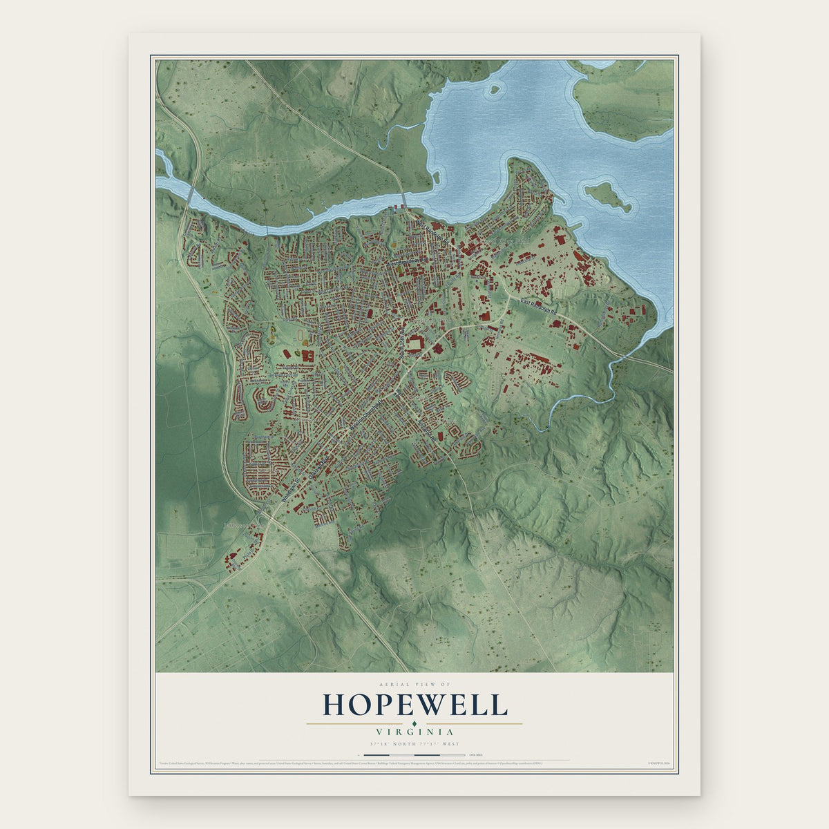
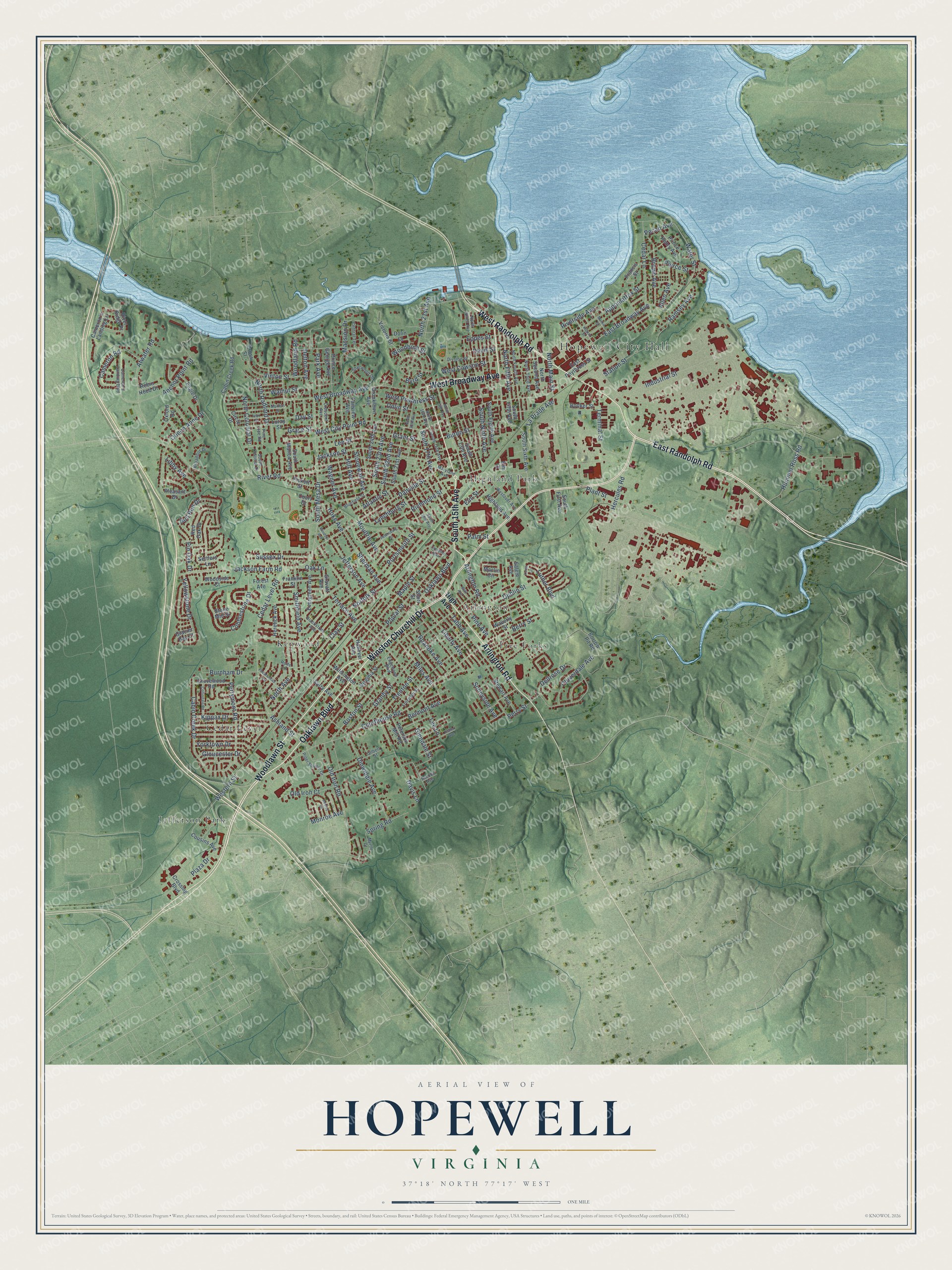
A new map of Hopewell, Virginia, made in 2026 and printed to order on thick archival matte paper.
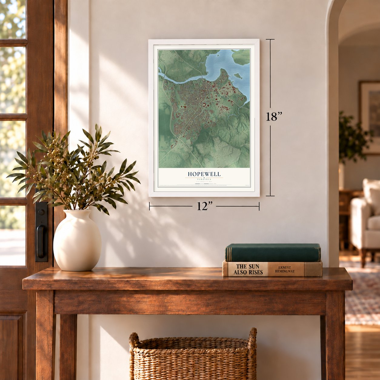
12" x 18" Archival Matte Print
A Map of Home. A Work of Art.
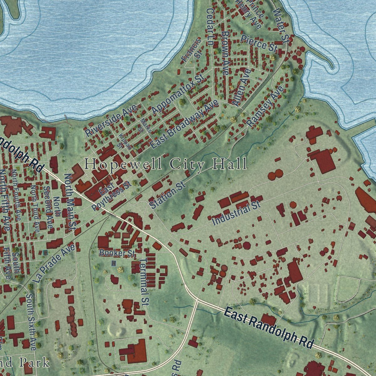
Explore Hopewell, Virginia from a whole new perspective. Created using aerial imagery and detailed geographic data, this map captures Hopewell building by building, with labeled streets, familiar landmarks, and shaded topographical relief that highlights the natural contours of the landscape.
Combining modern data with the timeless character of a vintage atlas, this map is just as interesting up close as it is beautiful on the wall. Whether you grew up in Hopewell, spent memorable years there, or call it home today, this unique map is a great way to celebrate a place that means something to you. Zoom in on the preview to look for your street, and then order a print to put your memories on the wall.
Three ways to hang it
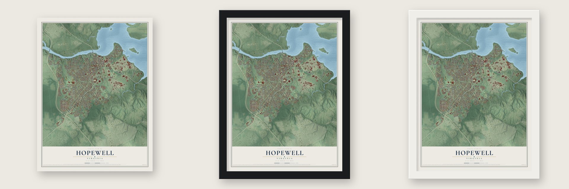
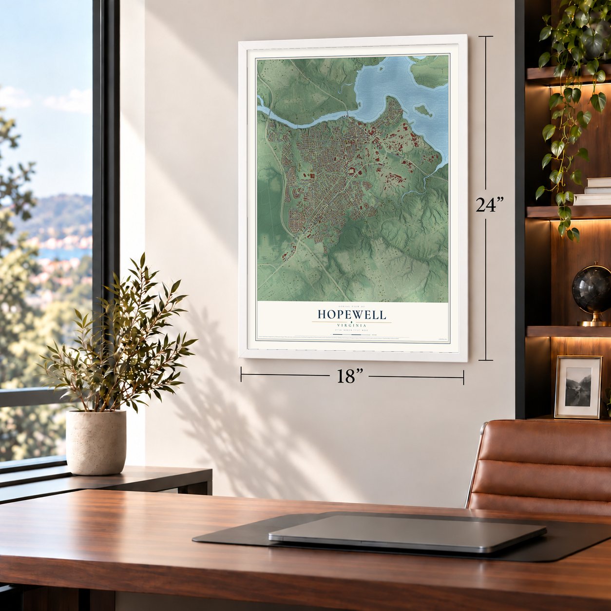
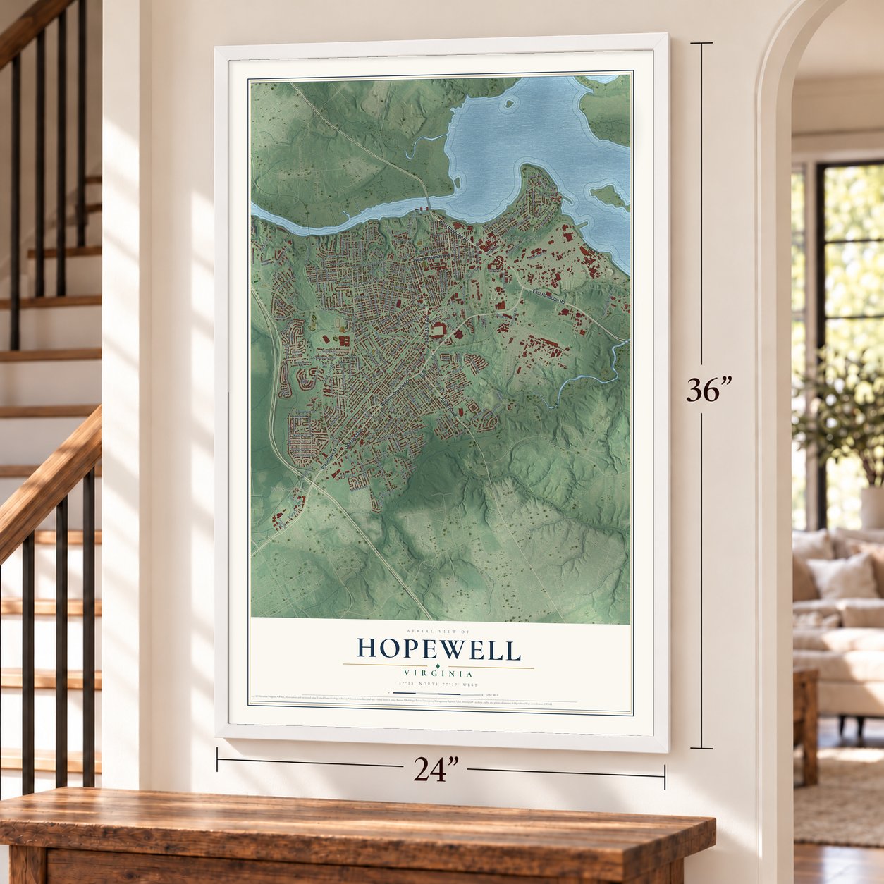
Unframed archival matte, a black wood frame or a white wood frame.
Up close
Geography Worth Displaying
This map was created using accurate cartographic data and authoritative geographic sources, including the U.S. Geological Survey and the Census Bureau. The map brings together terrain, waterways, roads, and building detail. The majority of the streets are labeled, houses are accurately depicted, and the topography is derived from government sources. Combining local data with carefully composed color and shading leads to this beautifully detailed Hopewell artwork for your wall.
Rather than simply showing street outlines, we’ve included as many of the street names as we could reasonably fit on the map while keeping their names legible. Zoom in on the high resolution preview to see exactly what’s on the map. We truly set out to create a statement piece for anyone who loves Hopewell. So whether it’s for you, or a gift for someone you love, we hope this map of Hopewell brings back fond memories.
Read the story behind this map of Hopewell, Virginia from 2026.

About Hopewell, Virginia
Hopewell is a city of 23,033 people on the land where the Appomattox River flows into the James. Its oldest part, City Point, was founded in 1613 by Sir Thomas Dale and was first called Bermuda City, then Charles City. Two of its settlers, Samuel Sharpe and Samuel Jordan, sat in the first House of Burgesses in 1619. City Point is the second-oldest English settlement in the country where people have lived ever since.
Hopewell itself began in 1914, when the DuPont Company built a dynamite factory on part of the Eppes plantation and called it Hopewell Farm. During World War I the plant switched to guncotton. A fire nearly destroyed the town in 1915, but it rebuilt, and people called it the "Wonder City" as it grew from a hamlet of 400 to more than 20,000 people within months. It became an independent city in 1916. After the war DuPont left and the town nearly emptied, until the Tubize Corporation opened a plant there in 1923. That same year Hopewell annexed City Point.
- Grant's headquarters in 1864While Union forces besieged Petersburg in 1864 and 1865, General Ulysses S. Grant ran the campaign from Appomattox Manor in City Point, and President Lincoln came to see him there. The manor belonged to Richard Eppes, who held 130 slaves when the war began. All but 12 of them escaped to Union ships. The City Point Railroad to Petersburg, built in 1838, became a key part of the siege.
- The Beacon Theatre of 1928Built in 1928, the Beacon Theatre in the middle of town let Black patrons sit only in the balcony under Jim Crow. The city restored it, and it now holds 70 or more concerts and events a year, with acts such as The Temptations, The Four Tops, Vince Gill and Amy Grant.
- Civil rights in HopewellHopewell's public schools were desegregated under a 1963 court order in the case Gilliam v. School Board of the City of Hopewell. In 1966 the Reverend Curtis W. Harris and other Black residents went to the city manager to ask that a planned landfill be moved out of a Black neighborhood, and the Ku Klux Klan met them with a confrontation. Harris later became the city's mayor.
- Kepone and the JamesFrom 1966 to 1975 a Hopewell plant was the only maker of the insecticide Kepone in the world, turning out up to 6,000 pounds a day, and waste went into the James River. In 1975, after 29 workers were hospitalized, the state shut the plant and banned fishing on the James from Richmond to the Chesapeake Bay. The ban lasted 13 years, and in 2019 the city opened a Riverwalk boardwalk.
Find your street
Names on the Hopewell map
Every name below is printed on this map. Look for your street, your school, the park where you played, or the pond down the road.
Places and landmarks7
- Hopewell City Hall
- Arlington
- Cedar Level
- Five Forks
- Highland Park
- Jefferson Park
- Kenwood
Streets and roads221
- Oaklawn Boulevard
- East Randolph Road
- South 15th Avenue
- Arlington Road
- West Broadway Avenue
- West Randolph Road
- Woodlawn Street
- Winston Churchill Drive
- Riverside Avenue
- West City Point Road
- North Fifth Avenue
- South Mesa Drive
- North Main Street
- River Road
- Ashland Street
- Pecan Avenue
- Liberty Avenue
- Woodbine Street
- Spring Road
- Western Street
- Courthouse Road
- Boston Street
- Norfolk Street
- Portsmouth Street
- Granby Street
- Atlantic Street
- Miles Avenue
- Maple Street
- Cedar Level Road
- Smithfield Avenue
Show all 221 streets
- West Poythress Street
- Dinwiddie Avenue
- Sunnyside Avenue
- Trenton Street
- West Cawson Street
- East Broadway Avenue
- Mansion Drive
- Danville Street
- Hill Avenue
- Stonewall Avenue
- Dellrose Drive
- Poplar Street
- North Avenue
- Berry Street
- South 23rd Avenue
- Perrymont Road
- Terrace Avenue
- Day Street
- Cabin Creek Drive
- Elm Street
- North 21st Avenue
- Lynchburg Street
- Jackson Farm Road
- Industrial Street
- Appomattox Street
- Cobblestone Drive
- Atwater Road
- Libby Avenue
- Jackson Street
- Old Iron Road
- Lee Street
- Grant Street
- Moultrie Avenue
- Terminal Street
- Roanoke Avenue
- Eppes Street
- Buren Street
- South 22nd Avenue
- Davis Lane
- Wagner Avenue
- Richmond Street
- Station Street
- Bull Run Drive
- Vinton Street
- Pine Avenue
- Water Street
- Cloverdale Avenue
- Cameron Road
- North Radford Drive
- South 17th Avenue
- Dolin Street
- Hummel Ross Road
- North Colonial Drive
- Dublin Street
- Hercules Road
- Park Avenue
- Yellowstone Drive
- Brown Avenue
- Kippax Drive
- Davis Street
- Jefferson Avenue
- Tabb Avenue
- Cedar Lane
- Clay Street
- Burnham Drive
- Plant Street
- Anchor Point Road
- Sherman Avenue
- Plaza Drive
- La Prade Avenue
- Byrd Street
- Walnut Street
- Old Iron Court
- Sussex Drive
- Queen Anne Drive
- Ramsey Avenue
- Belmont Avenue
- Glendale Street
- Yorktown Drive
- Oak Lane
- South Ninth Avenue
- Delton Avenue
- Luther Boulevard
- Gloucester Drive
- Pin Oak Drive
- Allen Avenue
- Lee Lane
- Hoke Avenue
- Pierce Street
- Woodland Road
- Monroe Avenue
- Palm Street
- Grace Street
- Perry Street
- High Avenue
- South Sixth Avenue
- Maclin Circle
- Salem Avenue
- Stewart Avenue
- Wilmington Avenue
- Virginia Street
- Pickett Street
- East Poythress Street
- South 21st Avenue
- Borrow Pit Road
- Pleasant Drive
- Prince George Avenue
- Surry Avenue
- Heretick Avenue
- North Second Avenue
- Peterson Mill Road
- South 13th Avenue
- Cabin Creek Road
- Red Oak Drive
- Evergreen Avenue
- Luray Street
- Highland Avenue
- South Eighth Avenue
- Victoria Street
- Waverly Street
- Cousins Avenue
- Cameron's Landing Lane
- South 24th Avenue
- Grovewood Road
- South Marion Avenue
- Brooklawn Avenue
- Eagle Drive
- Franklin Street
- Fairview Avenue
- Prince Henry Avenue
- South First Avenue
- Oxford Road
- Booker Street
- Gravatt Avenue
- Settlers Lane
- Forest Avenue
- Woodside Court
- Stone Mill Drive
- Francis Street
- River Ridge Place
- Crossing Boulevard
- Robin Hood Drive
- South Fifth Avenue
- Glacier Bay Court
- Circle Drive
- Hanover Avenue
- Court Drive
- Cross Street
- Dolin Court
- Elm Court
- Short Street
- Freeman Street
- Blackstone Avenue
- Cameron's Landing Boulevard
- Bluefield Street
- Sherwood Drive
- North Fourth Avenue
- North Third Avenue
- Norton Street
- Gilbert Street
- Piper Square Drive
- Divsion Street
- Ivor Street
- North Ninth Avenue
- Maryland Avenue
- Westover Avenue
- North 16th Avenue
- South Colonial Drive
- South 16th Avenue
- Crescent Avenue
- Central Terrace
- Broaddus Drive
- Edgewood Boulevard
- Rolfe Lane
- Myrtle Drive
- Pine Tree Road
- Jacobs Avenue
- South 20th Avenue
- Petersburg Street
- Kippax Street
- Pocahontas Lane
- North 20th Avenue
- Fisher Avenue
- North 14th Avenue
- Collindale Road
- Marks Street
- Wall Avenue
- Bexley Drive
- Crestline Boulevard
- Windsor Avenue
- Louis Lane
Names are listed as they appear on the printed map. Zoom into the product photos to find them.
The art of mapping a place
How This Map Was Made
Real places. Remarkable detail. Discover the layers that turn geographic data into a map of home.

The view from above
Aerial imagery reveals the character of the land: woodland, open fields, and the patterns of a place.

The shape of the land
Elevation data brings hills, valleys, and subtle changes in the landscape into view.

The details of home
Roads, waterways, and building footprints come together to make the map feel unmistakably local.

Geography becomes art
Considered color, shading, and typography bring the layers together in a map made for your wall.


Process illustrated with Mendon, Massachusetts. Aerial imagery: USDA NAIP. Terrain: USGS 3D Elevation Program. Map details and finished artwork: KNOWOL.
The Details
About This Print
Choose an archival matte print, or a black or white Ayous wood frame. The archival matte print is unframed.
Select your size and finish above to see the matching product image and price.
Materials & Craftsmanship
A contemporary map with the character of a classic atlas, printed on archival matte paper. Optional frames are made from Ayous wood.
Your printed map does not include the watermark shown in the full-map preview.
Shipping & Delivery
Free shipping within the United States. Every print is made to order in the USA.
Buying a gift? Add a note in your cart and we'll include it. We never put prices in the package.
Prints ship within 2 to 3 business days. Allow 7 to 10 days total from ordering for delivery. Timing may vary during holidays or periods of high order volume.
Read our shipping policy.
Returns and damaged prints
Each print is made to order. Change-of-mind refunds are not available after production.
If your print arrives damaged, misprinted or incorrect, contact support@knowol.com within 30 days of receiving it. Include your order number, photos and a description of the issue.
Read our full refund and replacement policy. For questions about your order, email support@knowol.com.
Find your town
Looking for another city?
Find a map of home in our Virginia collection, or any town in the country.
Nearby
Maps of towns near Hopewell
Know someone from one of these towns? Their map makes a great gift.
 Enon
Enon, Virginia
From $39.99See the map
 Fort Lee
, Virginia
From $39.99See the map
 Prince George
, Virginia
From $39.99See the map
More maps nearby: Colonial Heights, Ettrick, Petersburg, Chester and Matoaca.