
Search for another town


Free U.S. delivery 7 to 10 days after you order
San Luis Obispo, California Map Art
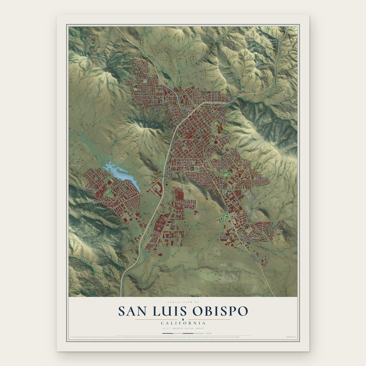
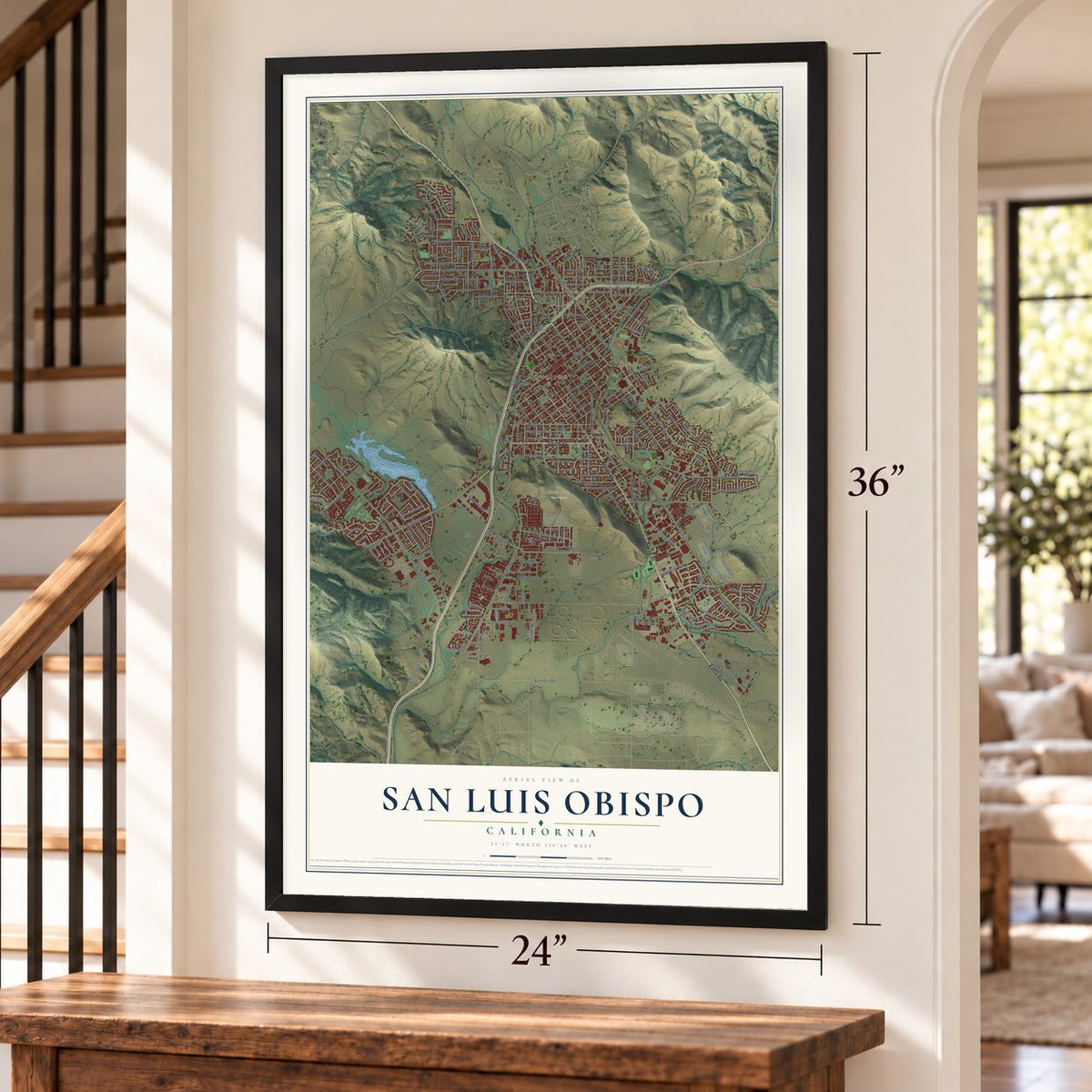
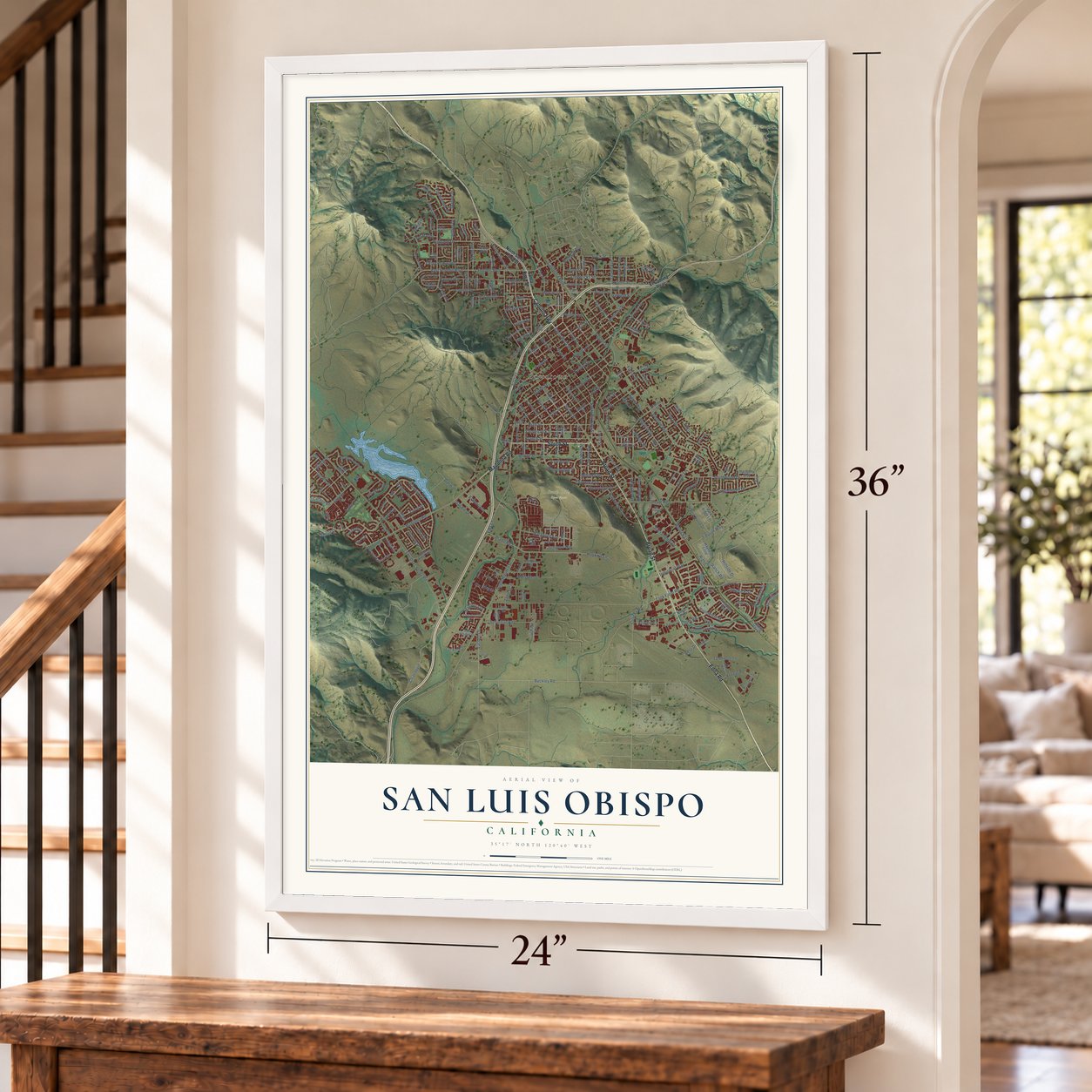
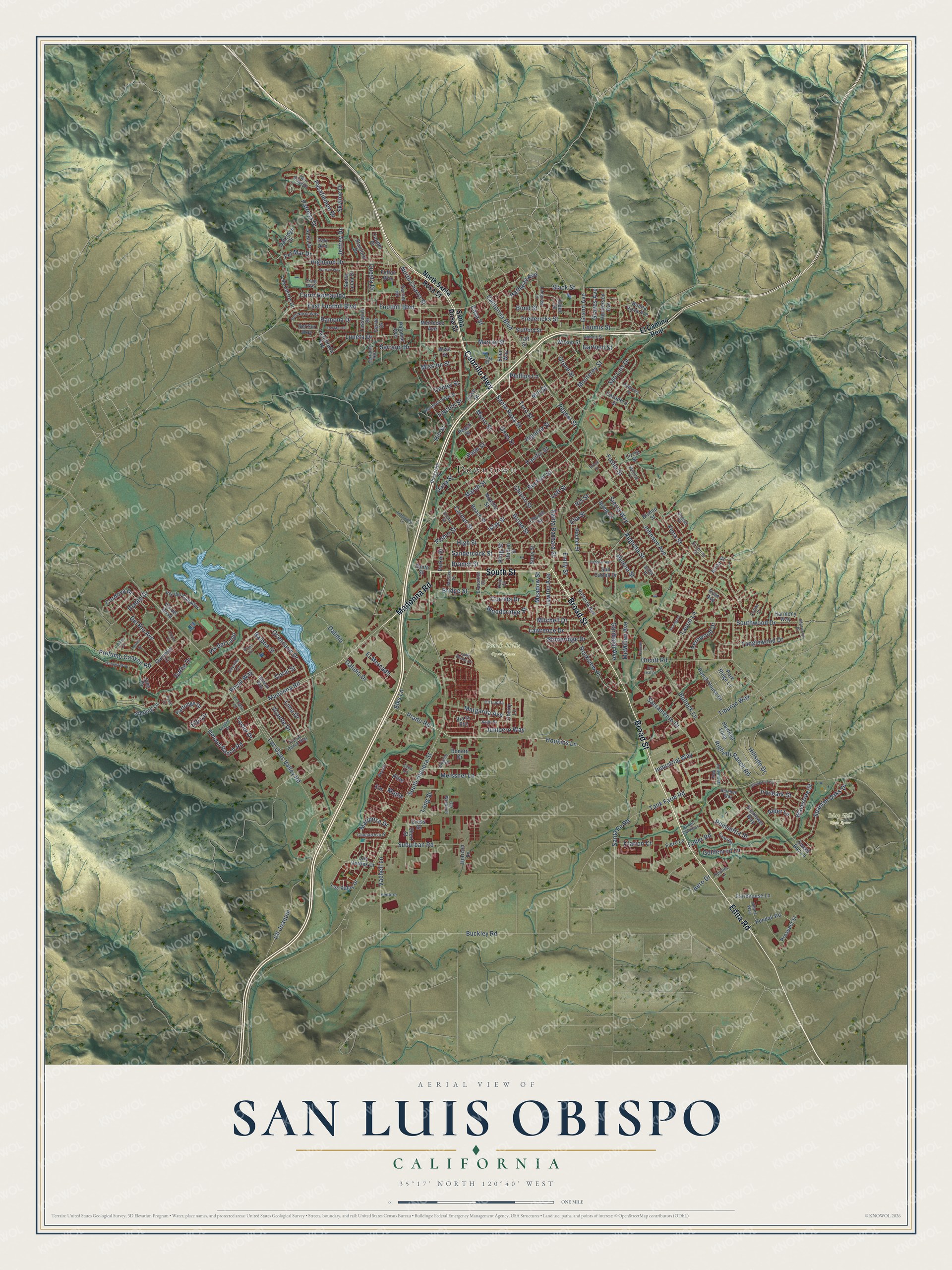
A new map of San Luis Obispo, California, made in 2026 and printed to order on thick archival matte paper.
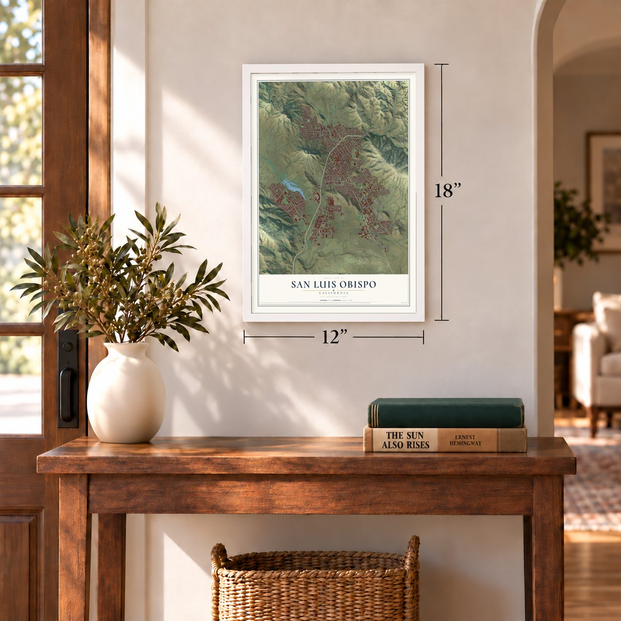
12" x 18" Archival Matte Print
A Map of Home. A Work of Art.
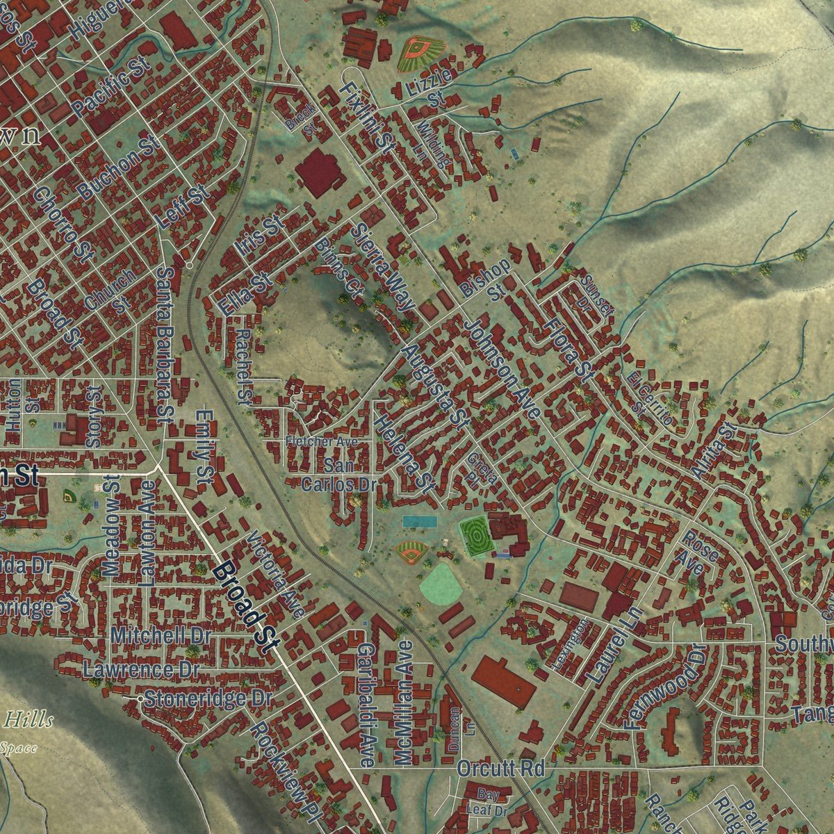
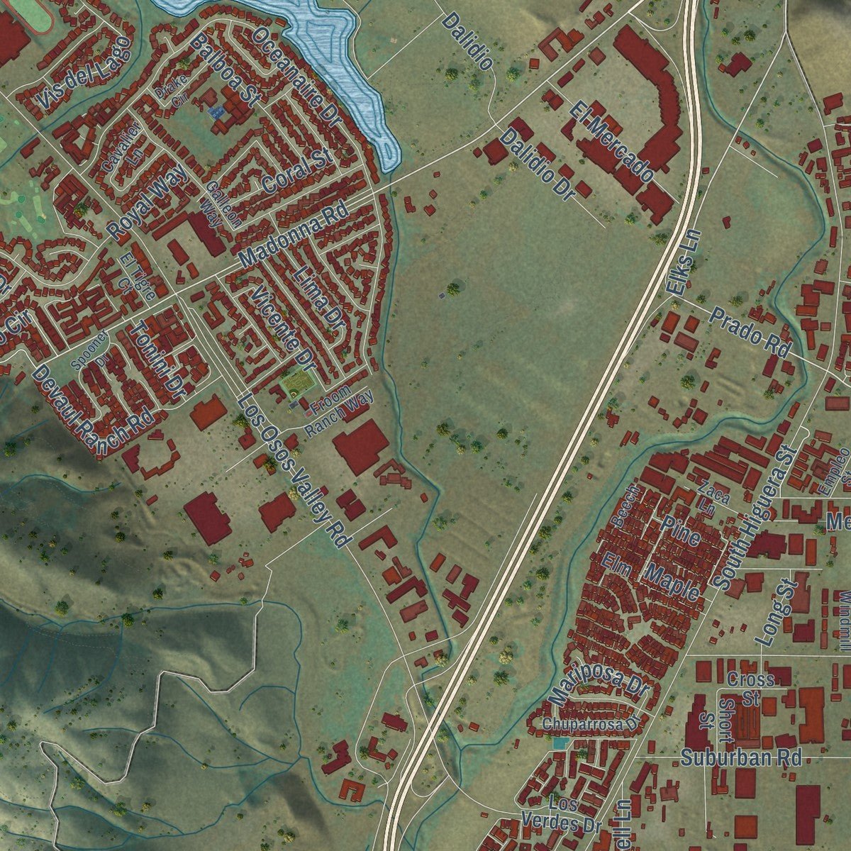
Explore San Luis Obispo, California from a whole new perspective. Created using aerial imagery and detailed geographic data, this map captures San Luis Obispo building by building, with labeled streets, familiar landmarks, and shaded topographical relief that highlights the natural contours of the landscape.
Combining modern data with the timeless character of a vintage atlas, this map is just as interesting up close as it is beautiful on the wall. Whether you grew up in San Luis Obispo, spent memorable years there, or call it home today, this unique map is a great way to celebrate a place that means something to you. Zoom in on the preview to look for your street, and then order a print to put your memories on the wall.
Three ways to hang it
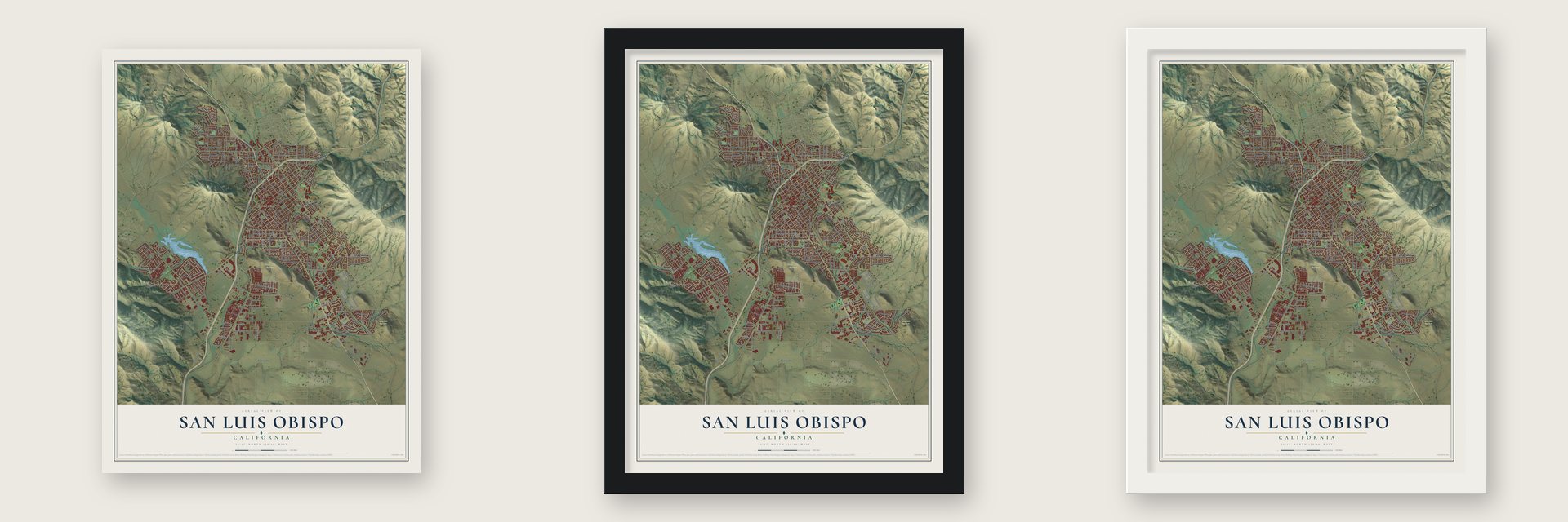
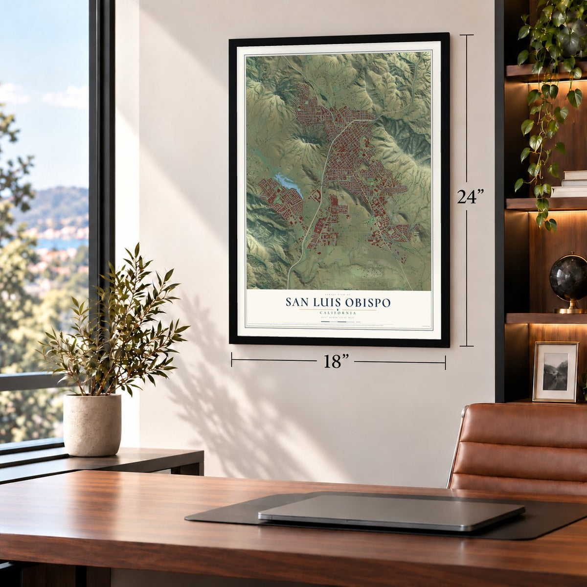
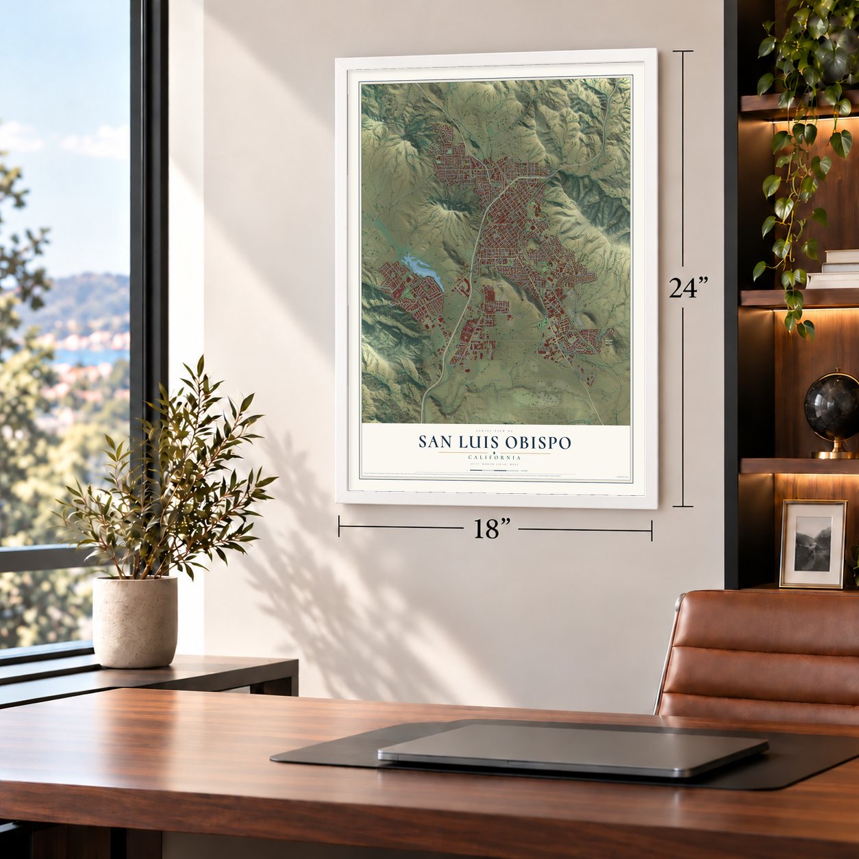
Unframed archival matte, a black wood frame or a white wood frame.
Up close
Geography Worth Displaying
This map was created using accurate cartographic data and authoritative geographic sources, including the U.S. Geological Survey and the Census Bureau. The map brings together terrain, waterways, roads, and building detail. The majority of the streets are labeled, houses are accurately depicted, and the topography is derived from government sources. Combining local data with carefully composed color and shading leads to this beautifully detailed San Luis Obispo artwork for your wall.
Rather than simply showing street outlines, we’ve included as many of the street names as we could reasonably fit on the map while keeping their names legible. Zoom in on the high resolution preview to see exactly what’s on the map. We truly set out to create a statement piece for anyone who loves San Luis Obispo. So whether it’s for you, or a gift for someone you love, we hope this map of San Luis Obispo brings back fond memories.
Read the story behind this map of San Luis Obispo, California from 2026.

About San Luis Obispo, California
San Luis Obispo is a city of 47,063 people on California's Central Coast, and it is also the seat of government for San Luis Obispo County. The Chumash called this place tiłhini, the place of the full moon. In 1772 the Spanish at Monterey were running out of food, so Commander Pedro Fages led hunters south to the Cañada de los Osos, the Valley of the Bears. They sent seed and dried bear meat back north, more than twenty-five mule loads in all.
The valley had plenty of food and water and a mild climate, so Junípero Serra picked it for his fifth mission. He said the first Mass beside San Luis Creek on September 1, 1772, and left for San Diego the next day. Fr. José Cavaller stayed behind with five soldiers and two baptized natives to build Mission San Luis Obispo de Tolosa, named for Louis, bishop of Toulouse. Mexico took the mission from the friars in the mid-1830s and split its land into ranchos. The village around the church stayed where it was, and after the American conquest it became the first incorporated town in the new county.
- Tiger-Town and the vigilantesIn its early American years the area was so lawless that people called it Barrio del Tigre, or Tiger-Town. In May 1858 a gang of eight men robbed the Rancho San Juan Capistrano del Camote, killing three people and kidnapping another, but this time two witnesses lived. Residents formed a vigilance committee that killed the suspected leader, Pio Linares, and hanged six others. Its members stayed powerful in town for decades.
- Ah Louis and ChinatownAh Louis brought workers from China to build the Pacific Coast Railway and the roads over Cuesta Pass to Paso Robles and on to Cambria. They also dug the Southern Pacific tunnels through Cuesta Ridge from 1884 to 1894. Chinatown grew up around Palm and Chorro streets, with the Ah Louis Store at its center. The Mee Heng Low chop suey shop survives, and relics dug from the old site are on display in the Palm Street parking garage.
- From cattle to dairiesThe ranchos kept raising cattle after California became American. The Gold Rush drove beef prices up, and they peaked in 1851. Then the drought of 1863 ruined most of the ranchos, and many were broken up. After that the town made its living from dairies, farming and mining.
- The world's first motelSan Luis Obispo sits about halfway between the Bay Area and Los Angeles. As cars took over and U.S. Route 101 and State Route 1 were built, drivers often stopped here for the night. That traffic is why the town became home to the Milestone Mo-Tel, the first motel in the world.
Find your street
Names on the San Luis Obispo map
Every name below is printed on this map. Look for your street, your school, the park where you played, or the pond down the road.
Places and landmarks3
- Downtown
- Islay Hill Open Space
- South Hills Open Space
Streets and roads258
- Broad Street
- South Street
- Madonna Road
- Edna Road
- Cabrillo Highway
- Higuera Street
- Prado Road
- Santa Rosa Street
- Elks Lane
- Hopkins Lane
- Santa Barbara Street
- Phillips Lane
- Royal Way
- Toro Street
- Pepper Street
- Hillside Drive
- Southwood Drive
- Sacramento Drive
- Stoneridge Drive
- Los Osos Valley Road
- Johnson Avenue
- Orcutt Road
- Tank Farm Road
- South Higuera Street
- Chorro Street
- East Foothill Boulevard
- Foothill Boulevard
- Cll Joaquin
- Monterey Street
- Oceanaire Drive
Show all 258 streets
- Marsh Street
- Pismo Street
- Flora Street
- San Luis Drive
- Highland Drive
- Prefumo Canyon Road
- California Boulevard
- Palm Street
- Buchon Street
- Poinsettia Street
- Pacific Street
- Mill Street
- Morro Street
- Islay Street
- Patricia Drive
- Ramona Drive
- High Street
- Osos Street
- Buckley Road
- Cerro Romauldo
- Leff Street
- Spanish Oaks Drive
- Augusta Street
- Woodbridge Street
- Loomis Street
- Laurel Lane
- Branch Street
- Murray Street
- Hathway Avenue
- Sandercock Street
- Tanglewood Drive
- Lawrence Drive
- Grand Avenue
- Luneta Drive
- Vachell Lane
- Fixlini Street
- Suburban Road
- Righetti Ranch Road
- Jeffrey Drive
- Slack Street
- Rockview Place
- Meissner Lane
- Lincoln Street
- Del Rio Avenue
- Cuesta Drive
- Industrial Way
- Goldenrod Lane
- Fredericks Street
- Devaul Ranch Road
- Fuller Road
- Ella Street
- Bullock Lane
- Margarita Avenue
- Grove Street
- Tiburon Way
- Mitchell Drive
- Vis del Lago
- Diablo Drive
- Meadow Street
- Wavertree Street
- Eto Circle
- Carmel Street
- Dalidio
- Ironbark Street
- El Mercado
- Pasatiempo Drive
- North Chorro Street
- Balboa Street
- Gathe Drive
- Graves Avenue
- Lawton Avenue
- Santa Fe Road
- Serrano Drive
- Hill Street
- Fernwood Drive
- Junipero Way
- Corrida Drive
- Mariposa Drive
- King Street
- Vicente Drive
- Dalidio Drive
- Sierra Way
- Casa Street
- Bridge Street
- Garibaldi Avenue
- Coral Street
- McMillan Avenue
- Mission Street
- Alder Lane
- Lima Drive
- Long Street
- Clarion Court
- Maple
- Helena Street
- Dana Street
- Fel Mar Drive
- Iris Street
- Skyline Drive
- Cordova Drive
- Pine
- Garfield Street
- Tonini Drive
- Bond Street
- Center Street
- Emily Street
- Aero Drive
- North Santa Rosa Street
- El Camino Real
- Jane Drive
- Garnette Drive
- Peach Street
- Nipomo Street
- Buena Vista Avenue
- Los Verdes Drive
- Los Palos Drive
- Bishop Street
- Ranch House Drive
- Beach Street
- Church Street
- San Carlos Drive
- La Entrada Avenue
- Kendall Road
- Henderson Avenue
- Olive Street
- Ferrini Road
- Farmhouse Lane
- Albert Drive
- Hayfield Loop
- Vis del Brisa
- Vis del Collados
- Tassajara Drive
- Victoria Avenue
- Partridge Drive
- Lizzie Street
- Meinecke Avenue
- Elm
- Sunflower Way
- Los Cerros Drive
- Stafford Street
- Felton Way
- Prospect Street
- Stanford Drive
- Del Sur Way
- Oakridge Drive
- Al Hil Drive
- Alrita Street
- Parker Street
- Couper Drive
- Via la Paz
- Cazadero Street
- Sterling Lane
- Rachel Street
- Wilson Street
- Palomar Avenue
- West Street
- Horizon Lane
- Harmony Way
- Cherry Lane
- Santa Lucia Drive
- Park Ridge Lane
- Daly Avenue
- Fiero Lane
- Binns Court
- Hutton Street
- Story Street
- Bonetti Drive
- Verde Drive
- Cross Street
- Short Street
- Sweet Bay Lane
- Ellen Way
- Rose Avenue
- Taft Street
- Bluebell Way
- Mountain View Street
- Brizzolara Street
- Beebee Street
- Froom Ranch Way
- Galleon Way
- Andrews Street
- Cavalier Lane
- Twin Ridge Drive
- Longview Lane
- Archer Street
- Hollyhock Way
- Craig Way
- Exposition Drive
- Del Norte Way
- Chuparrosa Drive
- Sage Street
- Cll Lupita
- Cll del Caminos
- Allene Way
- Wilding Lane
- Oak Street
- Zaca Lane
- Abbott Street
- Larkspur
- Sunset Drive
- Spitfire Lane
- Beech
- El Cerrito Street
- Old Windmill
- Empleo Street
- El Tigre Court
- Serrano Heights
- King Court
- Venture
- Greta Place
- Colina Court
- Isabella Way
- Spooner Drive
- Chaparral Circle
- Loma Bonita Drive
- Drake Circle
- Del Mar Court
- Fletcher Avenue
- Warren Way
- Portola Street
- Fernandez Lane
- Edgewood Drive
- Bay Leaf Drive
- Castillo Court
- Lexington
- Duncan Lane
- Cortez Court
- Rubio Lane
- Breck Street
Names are listed as they appear on the printed map. Zoom into the product photos to find them.
The art of mapping a place
How This Map Was Made
Real places. Remarkable detail. Discover the layers that turn geographic data into a map of home.

The view from above
Aerial imagery reveals the character of the land: woodland, open fields, and the patterns of a place.

The shape of the land
Elevation data brings hills, valleys, and subtle changes in the landscape into view.

The details of home
Roads, waterways, and building footprints come together to make the map feel unmistakably local.

Geography becomes art
Considered color, shading, and typography bring the layers together in a map made for your wall.


Process illustrated with Mendon, Massachusetts. Aerial imagery: USDA NAIP. Terrain: USGS 3D Elevation Program. Map details and finished artwork: KNOWOL.
The Details
About This Print
Choose an archival matte print, or a black or white Ayous wood frame. The archival matte print is unframed.
Select your size and finish above to see the matching product image and price.
Materials & Craftsmanship
A contemporary map with the character of a classic atlas, printed on archival matte paper. Optional frames are made from Ayous wood.
Your printed map does not include the watermark shown in the full-map preview.
Shipping & Delivery
Free shipping within the United States. Every print is made to order in the USA.
Buying a gift? Add a note in your cart and we'll include it. We never put prices in the package.
Prints ship within 2 to 3 business days. Allow 7 to 10 days total from ordering for delivery. Timing may vary during holidays or periods of high order volume.
Read our shipping policy.
Returns and damaged prints
Each print is made to order. Change-of-mind refunds are not available after production.
If your print arrives damaged, misprinted or incorrect, contact support@knowol.com within 30 days of receiving it. Include your order number, photos and a description of the issue.
Read our full refund and replacement policy. For questions about your order, email support@knowol.com.
Find your town
Looking for another city?
Find a map of home in our California collection, or any town in the country.
Nearby
Maps of towns near San Luis Obispo
Know someone from one of these towns? Their map makes a great gift.
 California Polytechnic State University
, California
From $39.99See the map
 Los Ranchos
, California
From $39.99See the map
 Edna
Edna, California
From $39.99See the map
More maps nearby: Avila Beach, Pismo Beach, Santa Margarita, Los Osos and Grover Beach.