


Search for another town



Free U.S. delivery 7 to 10 days after you order
Avila Beach, California Map Art
Building by building, with labeled streets and shaded relief.
12" x 18" Archival Matte Print
A Map of Home. A Work of Art.
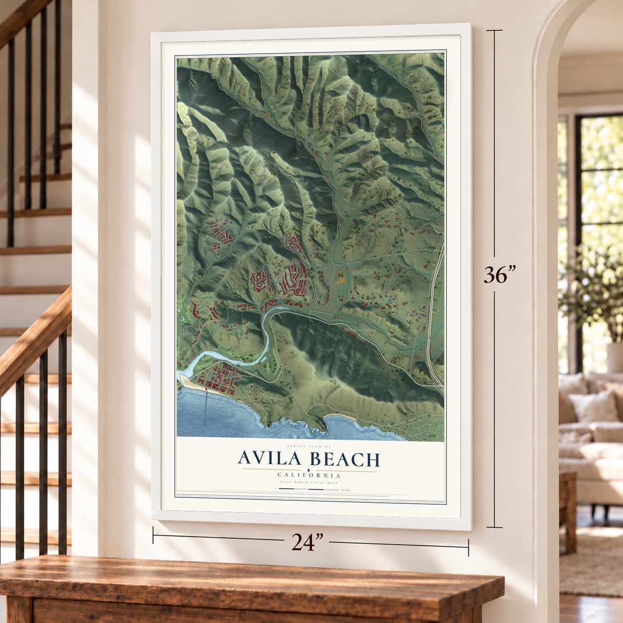
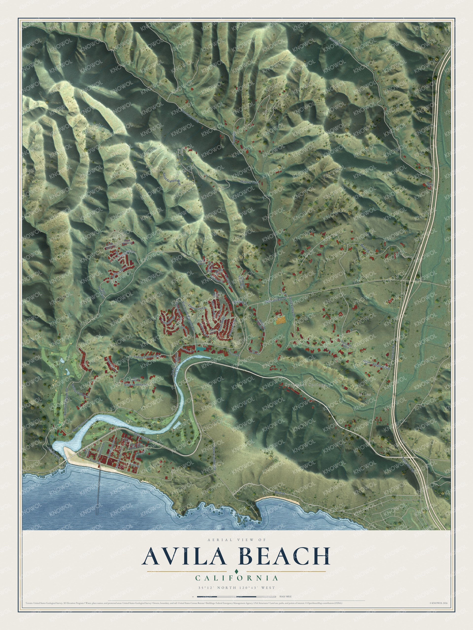
Explore Avila Beach, California from a whole new perspective. Created using aerial imagery and detailed geographic data, this map captures Avila Beach building by building, with labeled streets, familiar landmarks, and shaded topographical relief that highlights the natural contours of the landscape.
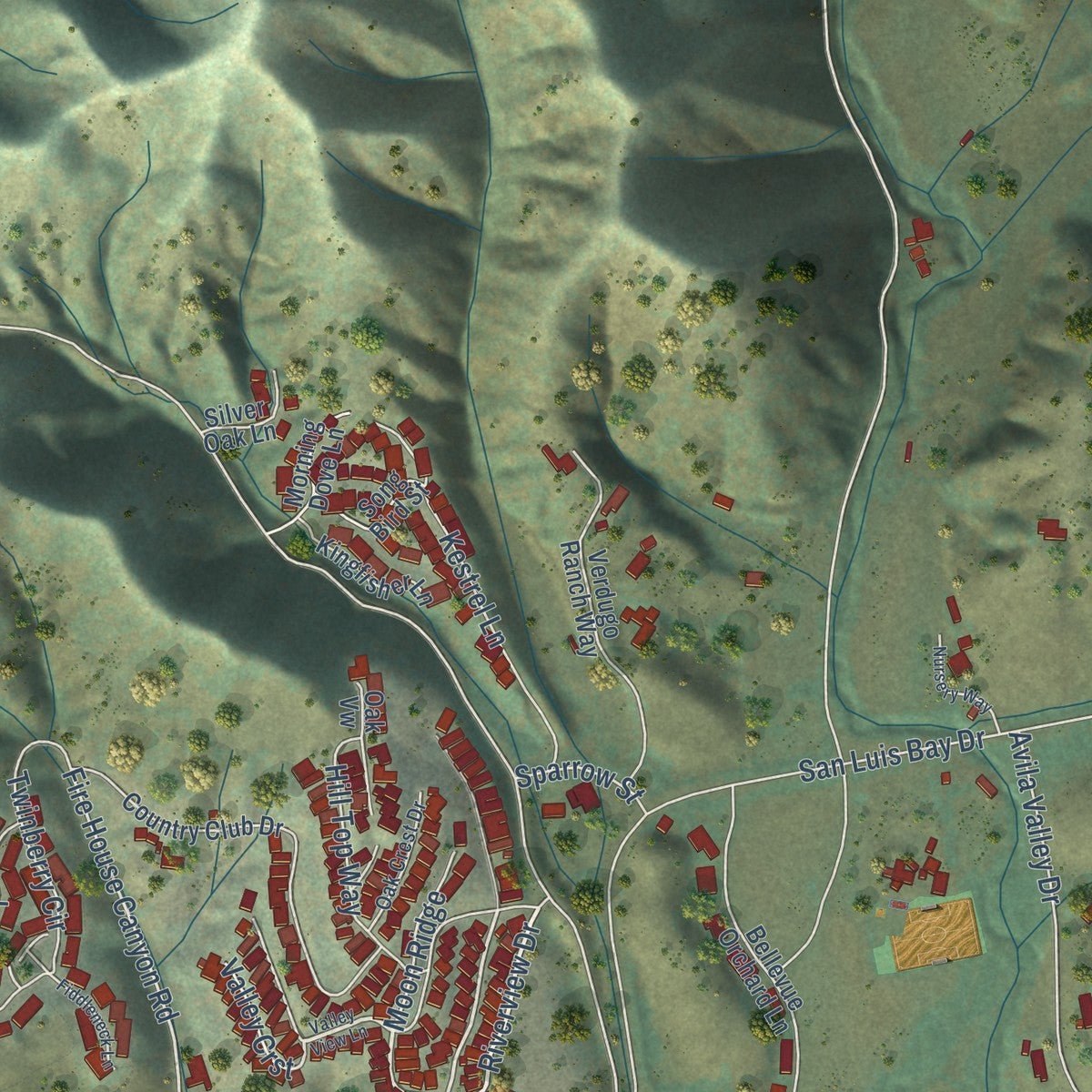
Combining modern data with the timeless character of a vintage atlas, this map is just as interesting up close as it is beautiful on the wall. Whether you grew up in Avila Beach, spent memorable years there, or call it home today, this unique map is a great way to celebrate a place that means something to you. Zoom in on the preview to look for your street, and then order a print to put your memories on the wall.
Three ways to hang it
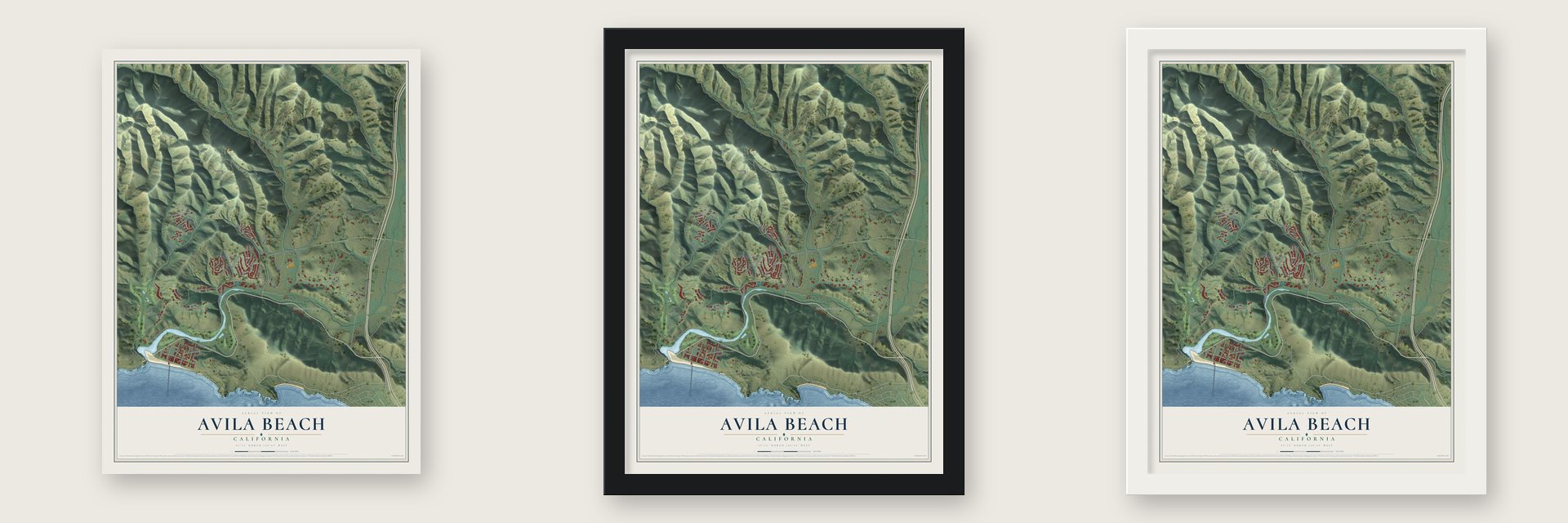
Unframed archival matte, a black wood frame or a white wood frame.
Up close
Geography Worth Displaying
This map was created using accurate cartographic data and authoritative geographic sources, including the U.S. Geological Survey and the Census Bureau. The map brings together terrain, waterways, roads, and building detail. The majority of the streets are labeled, houses are accurately depicted, and the topography is derived from government sources. Combining local data with carefully composed color and shading leads to this beautifully detailed Avila Beach artwork for your wall.
Rather than simply showing street outlines, we’ve included as many of the street names as we could reasonably fit on the map while keeping their names legible. Zoom in on the high resolution preview to see exactly what’s on the map. We truly set out to create a statement piece for anyone who loves Avila Beach. So whether it’s for you, or a gift for someone you love, we hope this map of Avila Beach brings back fond memories.
Read the story behind this map of Avila Beach, California from 2026.

Find your street
Names on the Avila Beach map
Every name below is printed on this map. Look for your street, your school, the park where you played, or the pond down the road.
Places and landmarks2
- Miles
- Sycamore Springs
Streets and roads66
- Riverview Drive
- Cave Landing Road
- Bluff Drive
- Avila Beach Drive
- Ontario Road
- Blue Heron Drive
- Palisades Road
- Fire House Canyon Road
- Butter Cup Lane
- Lupine Canyon Road
- See Canyon Road
- San Luis Bay Drive
- Castillo Road
- Bassi Drive
- Front Street
- Pippin Lane
- Avila Valley Drive
- Hartford Canyon Road
- Saint Francis Way
- Skyview Trail
- Shooting Star Lane
- Twinberry Circle
- San Luis Street
- First Street
- Harbor Lights Lane
- Ana Bay Road
- Kestrel Lane
- San Miguel Street
- Vista de Avila Lane
- Hill Top Way
Show all 66 streets
- Cranesbill Place
- Alliance Way
- Moon Ridge
- Sparrow Street
- Valley Crst
- Coffee Berry Court
- San Luis Street Parkway
- Country Club Drive
- Bellevue Orchard Lane
- Verdugo Ranch Way
- Night Hawk Way
- Playa Vista Place
- San Francisco Street
- Kingfisher Lane
- Morning Dove Lane
- Tierra del Pajaro
- Song Bird Street
- Cormorant Way
- Rock Wren Lane
- Oak Vw
- Club Moss Lane
- Silver Oak Lane
- San Juan Street
- David Court
- Apple Orchard Lane
- San Rafael Street
- Hudson Drive
- Canvasback Place
- Oak Crest Drive
- Bay Laurel Place
- Mar Vista Place
- Valley View Lane
- Second Street
- Nursery Way
- Fiddleneck Lane
- Ocean Oaks Drive
Names are listed as they appear on the printed map. Zoom into the product photos to find them.
About Avila Beach, California
Avila Beach is a community of 1,576 people in San Luis Obispo County, on San Luis Obispo Bay. The Chumash lived here first. The first European meeting with the Northern Chumash likely took place in this area in 1595, when Sebastian Rodriguez Cermeno counted at least 300 Chumash in many settlements, and they fed his crew dishes made from acorns.
Miguel Ávila received Rancho San Miguelito in 1842, and in 1867 his sons laid out a town and named it for him. Avila became the main shipping port for San Luis Obispo. Steamboats carried guests from San Francisco and Los Angeles to a honeymoon hotel that Luigi Marre built here. In World War II, Amphibious Training Base Morro Bay made use of the beach and the port.
- Fishing at Harford PierCommercial fishing boats have unloaded their catch at the Harford Pier, the westernmost of the town's three piers, since 1873. Gray and humpback whales now come into the bay around it to feed, and they draw crowds of whale watchers in season.
- A lighthouse after shipwrecksThe Point San Luis Lighthouse went up in 1890, after a series of shipping accidents. It is among the oldest buildings left in Avila Beach, and hikers reach it from Port San Luis on the Pecho Coast Trail, with a docent leading the way.
- Rebuilt after an oil leakFor decades, corroding pipes under the town leaked oil, leaving a massive spill beneath it. Unocal began the cleanup in the late 1990s, digging a pit a quarter mile wide that razed many houses and shops, with several blocks of Front Street lost. More than 6,750 truckloads of polluted soil went to a Bakersfield landfill, clean Guadalupe Dunes sand filled the hole, and new homes, shops and walkways rose in their place.
- The warm beach on the bayThe main beach runs less than 0.5 miles along San Luis Bay, between Point San Luis and Fossil Point. Because it faces south and the 600 foot height of Point San Luis blocks the northwesterly winds, it is usually warmer than other Central Coast beaches.
- California Dreaming in 1979Avila Beach was the main filming location for the 1979 movie California Dreaming, starring Dennis Christopher, Glynnis O'Connor and Seymour Cassel. The Avila Beach Pier, 1,685 feet long, later showed up in an ad that aired during the Super Bowl on February 7, 2010.
Keep exploring California
Avila Beach is one of 1,990 California towns we've mapped. Every dot on the map is a print of its own.
The search covers every state, California first.
Near Avila Beach
Order 2 or more town maps and save 10%. Shown in the size and finish you picked above, so they hang as a set.
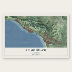
- Pismo Beach 12" x 18" / Archival Matte Print $39.99
- Los Ranchos 12" x 18" / Archival Matte Print $39.99
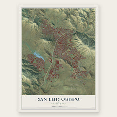
- San Luis Obispo 12" x 18" / Archival Matte Print $39.99

More maps nearby: Edna, Grover Beach, California Polytechnic State University, Oceano and Arroyo Grande.
The art of mapping a place
How This Map Was Made
Real places. Remarkable detail. Discover the layers that turn geographic data into a map of home.

The view from above
Aerial imagery reveals the character of the land: woodland, open fields, and the patterns of a place.

The shape of the land
Elevation data brings hills, valleys, and subtle changes in the landscape into view.

The details of home
Roads, waterways, and building footprints come together to make the map feel unmistakably local.

Geography becomes art
Considered color, shading, and typography bring the layers together in a map made for your wall.


Process illustrated with Mendon, Massachusetts. Aerial imagery: USDA NAIP. Terrain: USGS 3D Elevation Program. Map details and finished artwork: KNOWOL.
The Details
About This Print
Choose an archival matte print, or a black or white Ayous wood frame. The archival matte print is unframed.
Select your size and finish above to see the matching product image and price.
Materials & Craftsmanship
A contemporary map with the character of a classic atlas, printed on archival matte paper. Optional frames are made from Ayous wood.
Your printed map does not include the watermark shown in the full-map preview.
Shipping & Delivery
Free shipping within the United States. Every print is made to order in the USA.
Buying a gift? Add a note in your cart and we'll include it. We never put prices in the package.
Prints ship within 2 to 3 business days. Allow 7 to 10 days total from ordering for delivery. Timing may vary during holidays or periods of high order volume.
Read our shipping policy.
Returns and damaged prints
Each print is made to order. Change-of-mind refunds are not available after production.
If your print arrives damaged, misprinted or incorrect, contact support@knowol.com within 30 days of receiving it. Include your order number, photos and a description of the issue.
Read our full refund and replacement policy. For questions about your order, email support@knowol.com.