
Search for another town




Free U.S. delivery 7 to 10 days after you order
Sandy Springs, Georgia Map Art
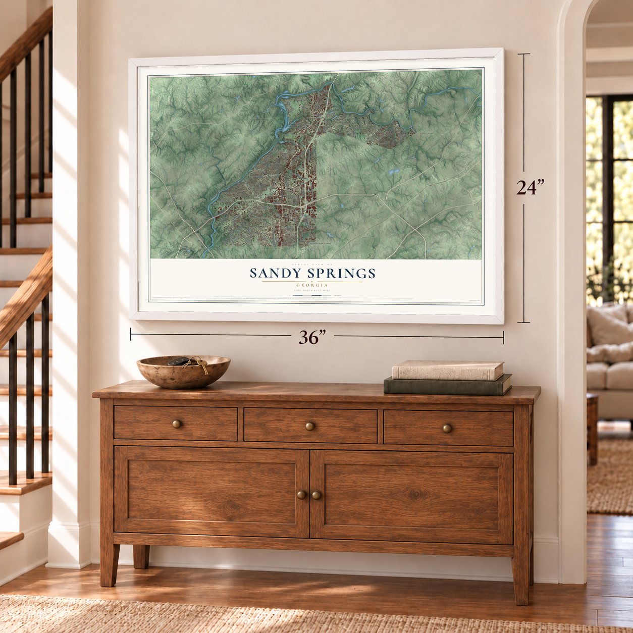
A new map of Sandy Springs, Georgia, made in 2026 and printed to order on thick archival matte paper.
12" x 18" Archival Matte Print
A Map of Home. A Work of Art.
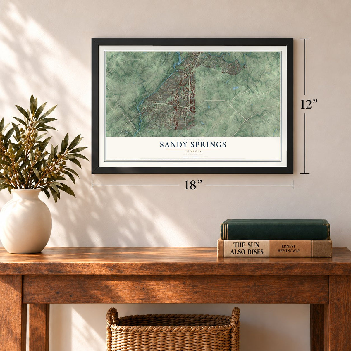
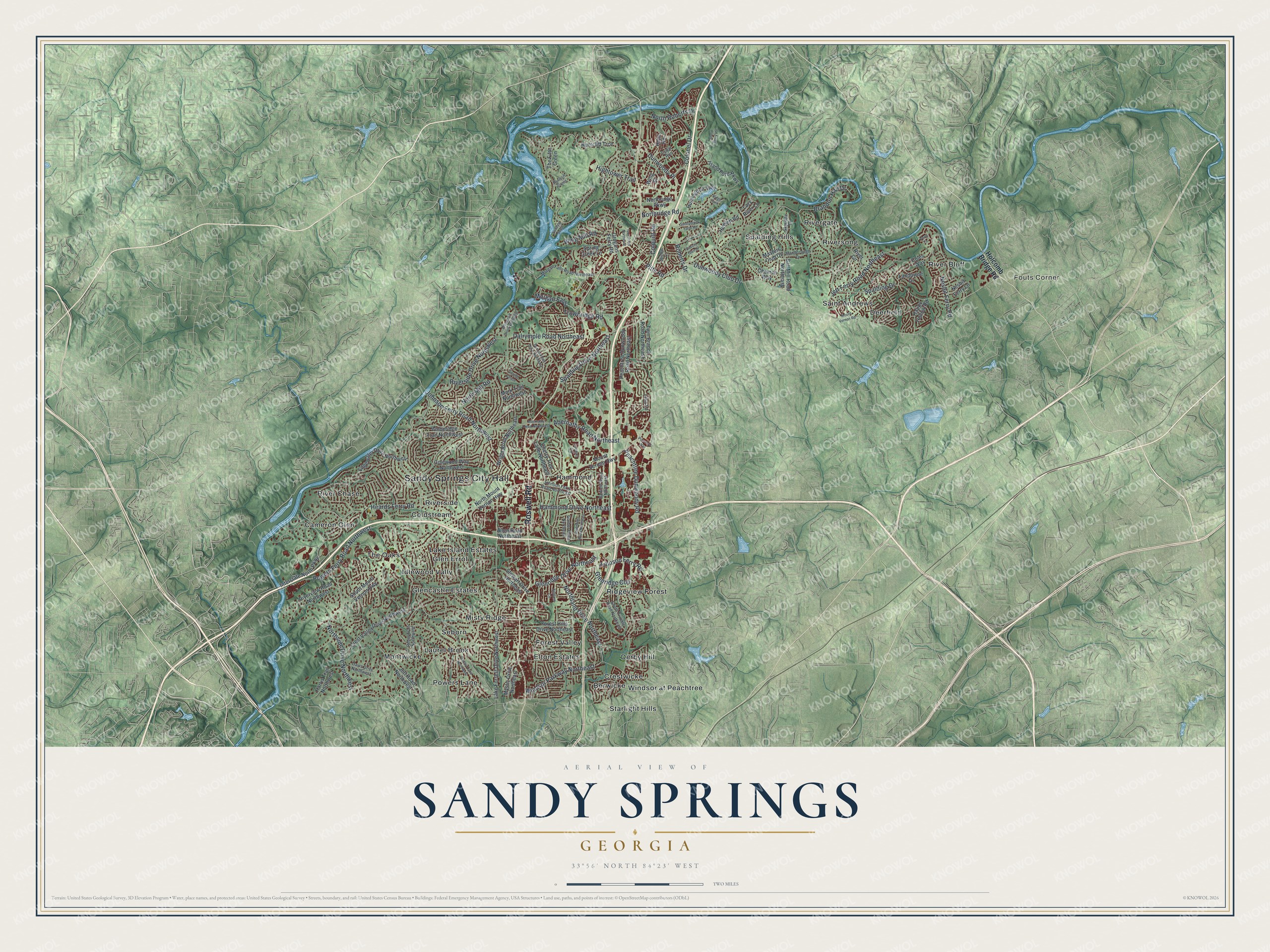
Explore Sandy Springs, Georgia from a whole new perspective. Created using aerial imagery and detailed geographic data, this map captures Sandy Springs building by building, with labeled streets, familiar landmarks, and shaded topographical relief that highlights the natural contours of the landscape.
Combining modern data with the timeless character of a vintage atlas, this map is just as interesting up close as it is beautiful on the wall. Whether you grew up in Sandy Springs, spent memorable years there, or call it home today, this unique map is a great way to celebrate a place that means something to you. Zoom in on the preview to look for your street, and then order a print to put your memories on the wall.
Three ways to hang it
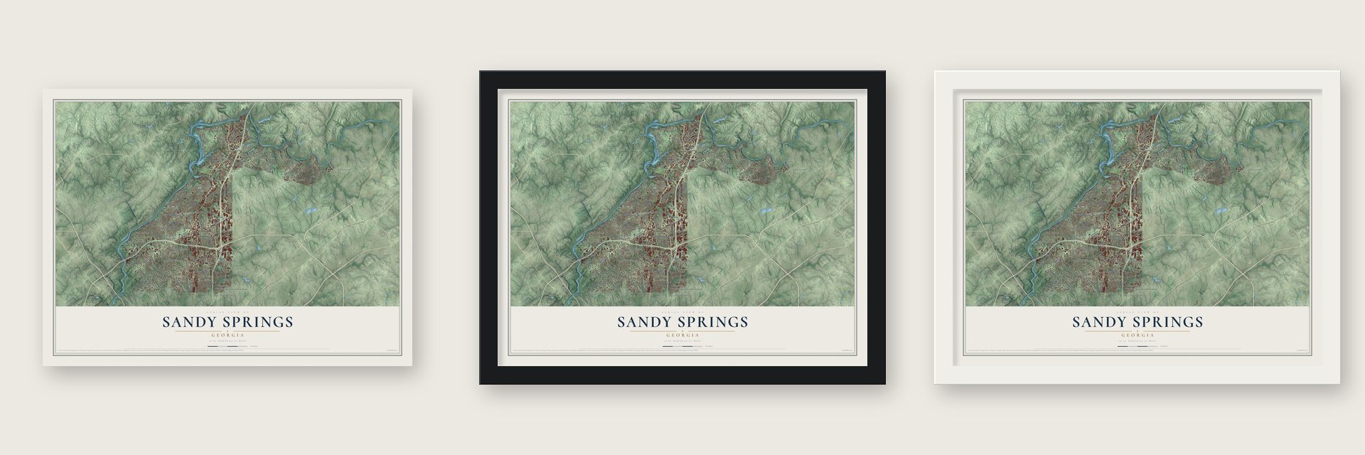
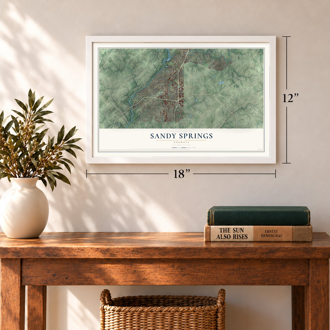
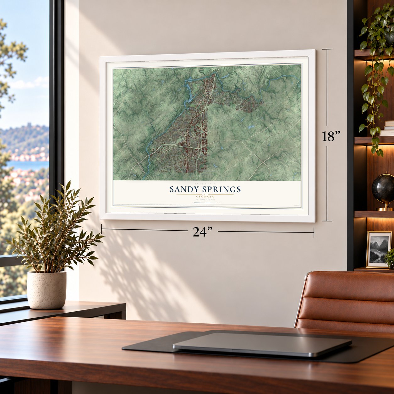
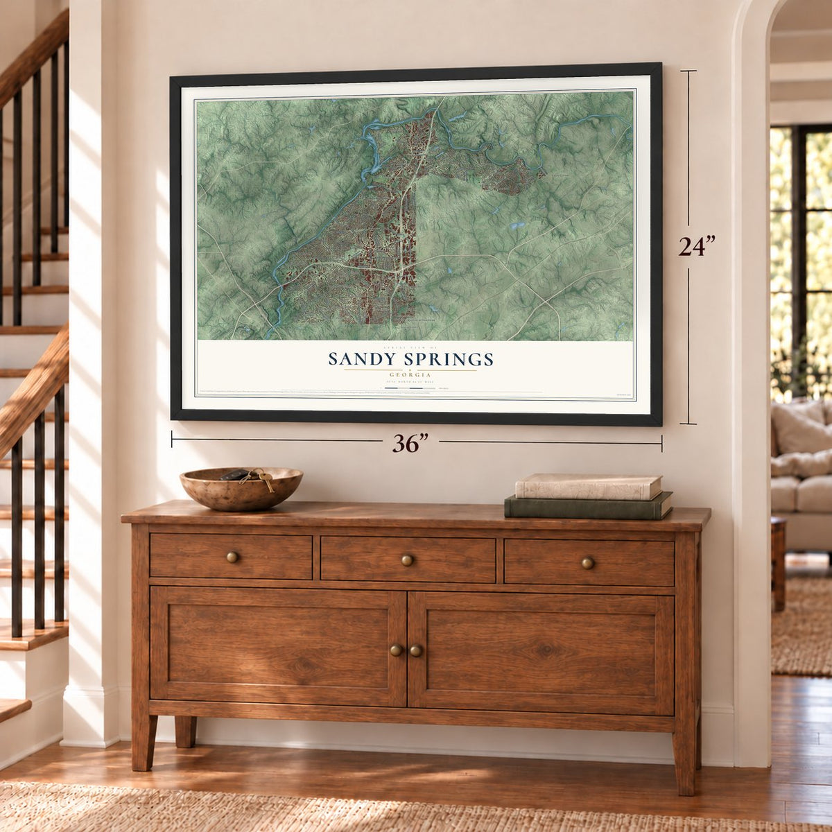
Unframed archival matte, a black wood frame or a white wood frame.
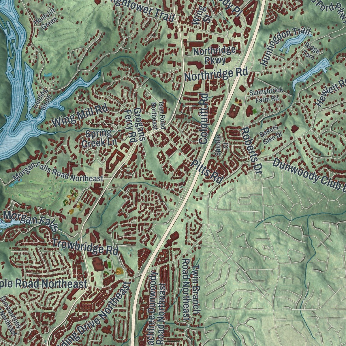
Up close
Geography Worth Displaying
This map was created using accurate cartographic data and authoritative geographic sources, including the U.S. Geological Survey (USGS) and FEMA. The map brings together terrain, waterways, roads, and building detail. The majority of the streets are labeled, houses are accurately depicted, and the topography is derived from government sources. Combining local data with carefully composed color and shading leads to this beautifully detailed Sandy Springs artwork for your wall.
Rather than simply showing street outlines, we’ve included as many of the street names as we could reasonably fit on the map while keeping their names legible. Zoom in on the high resolution preview to see exactly what’s on the map. We truly set out to create a statement piece for anyone who loves Sandy Springs. So whether it’s for you, or a gift for someone you love, we hope this map of Sandy Springs brings back fond memories.
Explore the full map of Sandy Springs, Georgia and read about the local places it shows.

About Sandy Springs, Georgia
Sandy Springs is a city of 108,080 people in northern Fulton County, the 7th-most populous in Georgia. Around 400 AD, Native Americans cut three trails to reach its freshwater springs. Creek Muskogee people settled here in the 16th century and stayed until the early 1800s, when the discovery of gold forced them out. Federal land lotteries in 1821 sold the land to new settlers, and the community stayed rural for more than a century.
Atlanta wanted the area for years. The state legislature stopped an annexation in 1950. After a fire at Hammond Elementary School in 1959, Atlanta mayor William Hartsfield urged residents to join his city for better fire protection, but they refused. Georgia 400 and Interstate 285 arrived in the early 1960s and set off a housing boom, driven in part by white families leaving Atlanta as it integrated. Voters rejected annexation by two-thirds in 1966, then spent decades seeking a city of their own. On June 21, 2005, they voted 94% for incorporation, and on December 1 Sandy Springs officially became a city. Only two places in U.S. history were larger when they incorporated.
- Named for a church springIn 1851 Wilson Spruill gave 5 acres for Sandy Springs United Methodist Church, built near the natural spring that gave the city its name. The Hammond School went up across the street in 1905, at Johnson Ferry Road and Mt. Vernon Highway. The spring is now part of Heritage Green, in the City Springs district. Nearby, the Austin-Johnson House of 1842 is the oldest house here that stands unaltered.
- Blocked bills until 2005Every session, the area's state legislators filed a bill for an incorporation vote, and every session lawmakers from Atlanta and southwestern Fulton County, fearing lost tax money, stopped it, since local bills first needed approval from the affected area's delegation. After Republicans won both houses in 2005, the bill was treated as a state bill, the assembly dropped a rule that new cities sit at least 3 miles from existing ones, and Governor Sonny Perdue signed HB 37.
- A city run on contractFrom incorporation, Sandy Springs ran as a public-private partnership, with all but six full-time employees on contract. CH2M Hill won the 2010 rebid of general city services, at a cheaper price during the Great Recession. In 2019 the City Council hired 183 contract workers directly, leaving 15 outsourced full-time workers, a change expected to save $2.7 million the next year.
- A downtown opened in 2018Sandy Springs never had a traditional downtown, so in 2008 city leaders bought the site of an old Target, earlier a Richway, on Roswell Road. City Springs opened there in 2018 with city offices, homes, shops, green space and a performing arts center. Its address, Galambos Way, honors Eva Galambos, the city's first mayor.
- Georgia's largest medical centerThree major hospitals, Northside, St. Joseph's and Children's Healthcare of Atlanta, stand on Pill Hill, in the Sandy Springs part of Perimeter Center. Together they make Sandy Springs the home of more than 40% of all hospital beds in the metro area.
Find your street
Names on the Sandy Springs map
Every name below is printed on this map. Look for your street, your school, the park where you played, or the pond down the road.
Places and landmarks31
- Sandy Springs City Hall
- Fouts Corner
- Berwicke
- Cameron Glen
- Coldstream
- Crestwicke
- Deerfield
- Derby Hill
- Elton Estates
- Forest Valley
- Glen Errol
- Glencastle Estates
Show all 31 places
- Hammond
- Idlewood Vally
- Lake Island Estates
- Laurel Brook
- Misty Ridge
- Montwicke
- Powers Lane
- Ridgeview Forest
- River Bluff
- River Chase
- Rivergate
- Riverside
- Riversong
- Saint Andrews
- Seborn
- Spalding Hills
- Starlight Hills
- The Oaks
- Windsor at Peachtree
Streets and roads104
- Roswell Road
- Powers Ferry Road Northwest
- Spalding Drive
- Glenridge Drive Northeast
- Riverside Drive Northwest
- Peachtree Dunwoody Road
- Northside Drive Northwest
- Dunwoody Club Drive
- Hammond Drive Northeast
- Heards Ferry Road
- Spalding Drive Northeast
- North Roberts Drive
- Windsor Parkway Northeast
- Jett Ferry Road Northeast
- Glenridge Con
- Dalrymple Road Northeast
- Johnson Ferry Road Northwest
- Abernathy Road Northeast
- Northland Drive Northeast
- Nesbit Ferry Road
- Northridge Road
- Dunwoody Place
- Colquitt Road
- Hightower Trail
- Brandon Hall Drive
- Trowbridge Road
- Johnson Ferry Road
- Roberts Drive
- Wing Mill Road
- North Mill Road
Show all 104 streets
- Morgan Falls
- Pitts Road
- Colonel Drive
- Holcomb Bridge Road
- Huntcliff Trce
- Lake Forrest Drive Northwest
- Mount Vernon Highway
- North Mount Vernon Highway
- Peachtree Dunwoody Road Northeast
- Riverview Road Northwest
- Spring Creek Lane
- Crest Valley Drive Northwest
- Jett Road Northwest
- Island Ford Parkway
- Amberidge Trail Northwest
- Wright Road Northeast
- Ball Mill Road Northeast
- Edgewater Drive Northwest
- Hope Road
- Grogans Ferry Road
- Cherry Tree Lane Northeast
- South Mount Vernon Highway
- Forest Hills Drive Northeast
- Interstate North Parkway
- Twin Branch Road Northeast
- Harris Trail Northwest
- Colewood Way Northwest
- Huntingdon Trail
- Lazy River Lane
- Stewart Drive Northeast
- Mystic Drive Northeast
- Happy Hollow Road
- Masters Club Drive
- Northridge Parkway
- River Circle
- Allen Road Northeast
- Hewlett Road
- Landowne Drive
- Chevron Way
- Mark Trail Northwest
- The Fifth Green
- Coles Way
- Nesbit Ferry Lane
- Lisa Lane
- Wing Street
- Morgan Falls Road Northeast
- Johnson Ferry Road Northeast
- Barfield Road Northeast
- South Trimble Road Northeast
- Rebel Trail Northwest
- Davis Drive Northwest
- Skyridge Drive
- Marlborough Drive
- Garber Drive Northeast
- Cedar Run
- Lucent Lane
- Abernathy Road Northwest
- Mount Vernon Road
- Dudley Lane Northwest
- Duncourtney Drive Northeast
- Greenbrier Road Northeast
- Wildercliff Drive Northwest
- Ison Road Northeast
- Island Ferry Road
- Bakers Glen Drive
- Enclave Circle
- Sunnybrook Farm Road
- Huntcliff Green
- Spindle Court
- Seville Chase
- Potomac Way
- Landing South
- Ridge Tarn
- Verdi Lane
Names are listed as they appear on the printed map. Zoom into the product photos to find them.
The art of mapping a place
How This Map Was Made
Real places. Remarkable detail. Discover the layers that turn geographic data into a map of home.

The view from above
Aerial imagery reveals the character of the land: woodland, open fields, and the patterns of a place.

The shape of the land
Elevation data brings hills, valleys, and subtle changes in the landscape into view.

The details of home
Roads, waterways, and building footprints come together to make the map feel unmistakably local.

Geography becomes art
Considered color, shading, and typography bring the layers together in a map made for your wall.


Process illustrated with Mendon, Massachusetts. Aerial imagery: USDA NAIP. Terrain: USGS 3D Elevation Program. Map details and finished artwork: KNOWOL.
The Details
About This Print
Choose an archival matte print, or a black or white Ayous wood frame. The archival matte print is unframed.
Select your size and finish above to see the matching product image and price.
Materials & Craftsmanship
A contemporary map with the character of a classic atlas, printed on archival matte paper. Optional frames are made from Ayous wood.
Your printed map does not include the watermark shown in the full-map preview.
Shipping & Delivery
Free shipping within the United States. Every print is made to order in the USA.
Buying a gift? Add a note in your cart and we'll include it. We never put prices in the package.
Prints ship within 2 to 3 business days. Allow 7 to 10 days total from ordering for delivery. Timing may vary during holidays or periods of high order volume.
Read our shipping policy.
Returns and damaged prints
Each print is made to order. Change-of-mind refunds are not available after production.
If your print arrives damaged, misprinted or incorrect, contact support@knowol.com within 30 days of receiving it. Include your order number, photos and a description of the issue.
Read our full refund and replacement policy. For questions about your order, email support@knowol.com.
Find your town
Looking for another city?
Find a map of home in our Georgia collection, or any town in the country.
Nearby
Maps of towns near Sandy Springs
Know someone from one of these towns? Their map makes a great gift.
 Dunwoody
, Georgia
From $39.99See the map
 Chastain Park
, Georgia
From $39.99See the map
 East Chastain Park
, Georgia
From $39.99See the map
More maps nearby: North Buckhead, Mt. Paran Parkway, Brookhaven, Chamblee and Mt. Paran-Northside.