
Search for another town
Free U.S. delivery 7 to 10 days after you order
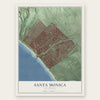
Santa Monica, California Map Art
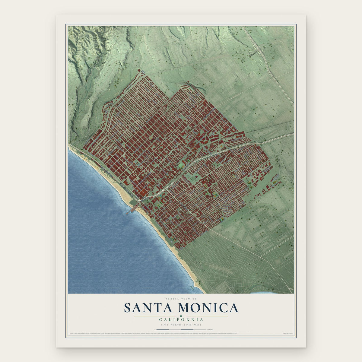
Building by building, with labeled streets and shaded relief.
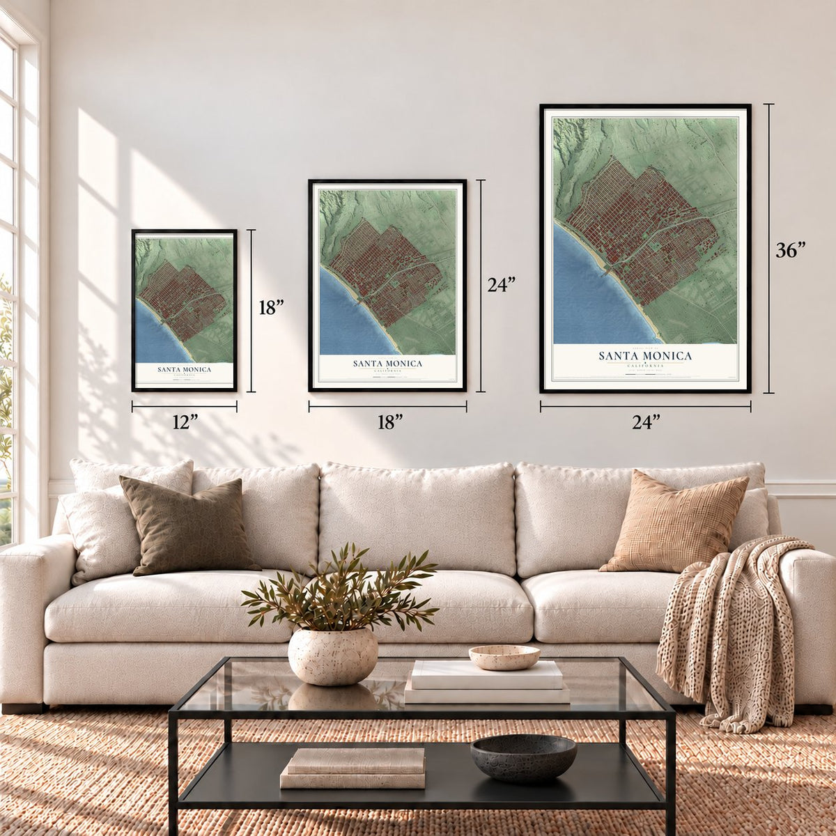
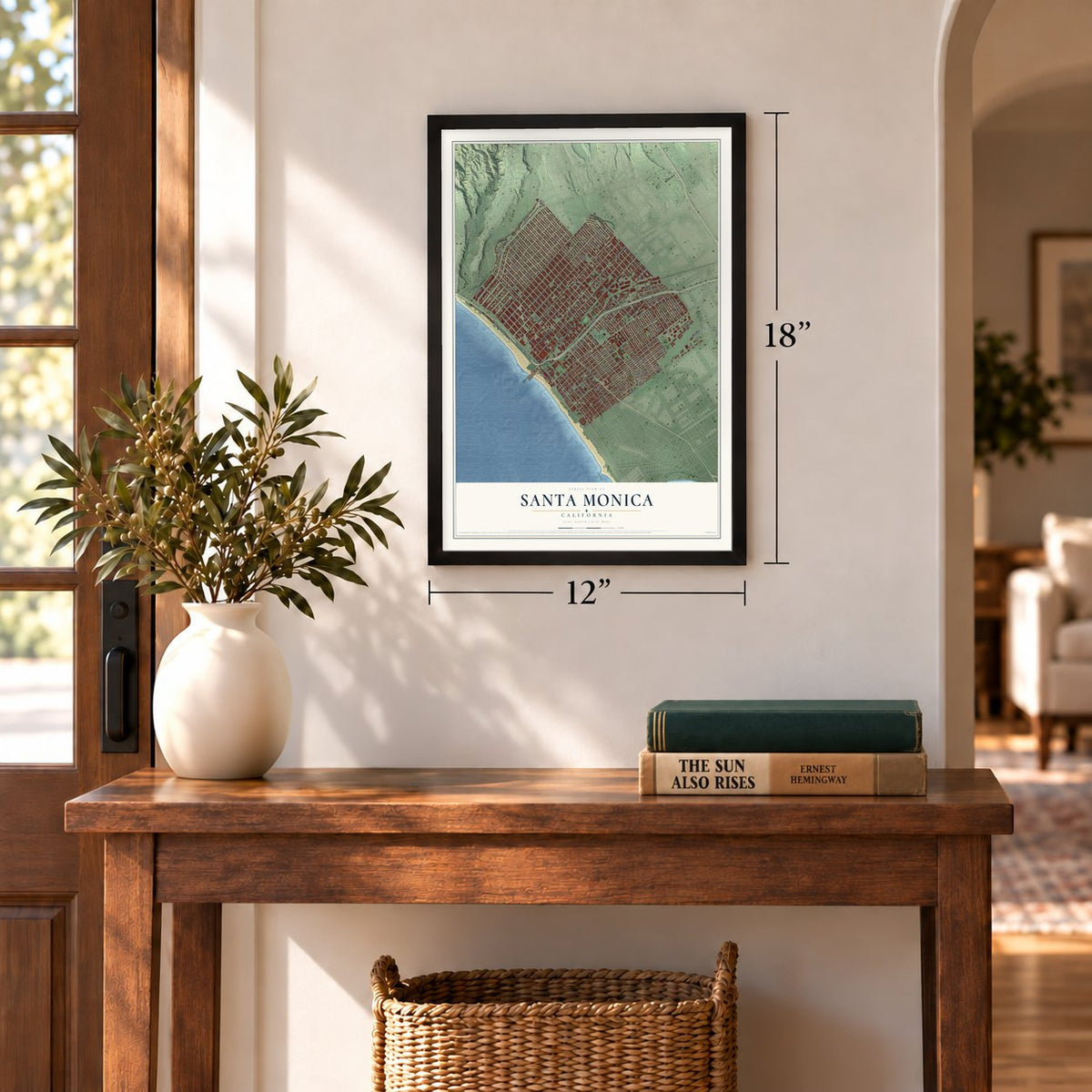
12" x 18" Archival Matte Print
A Map of Home. A Work of Art.
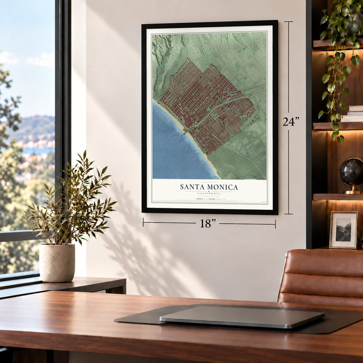
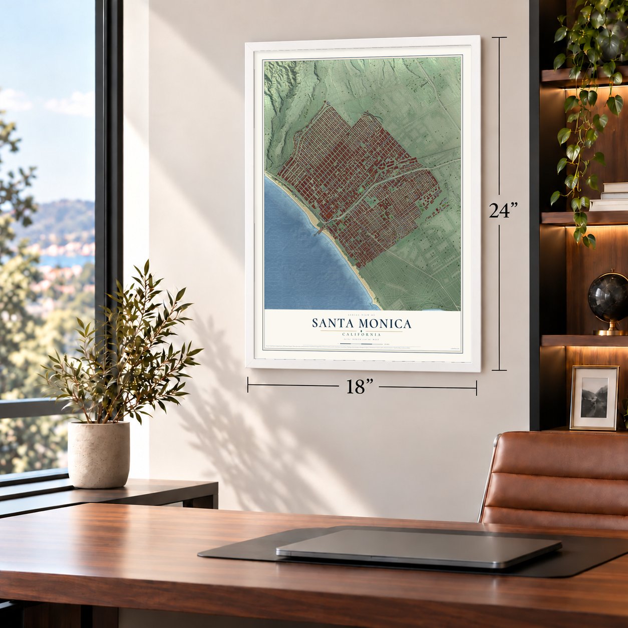
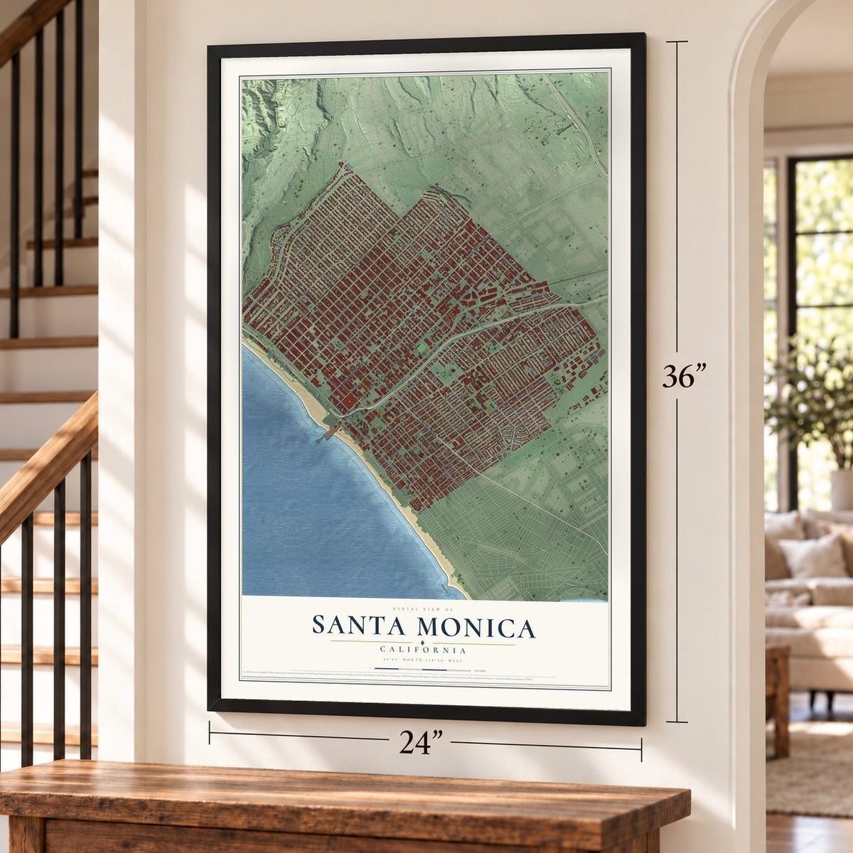
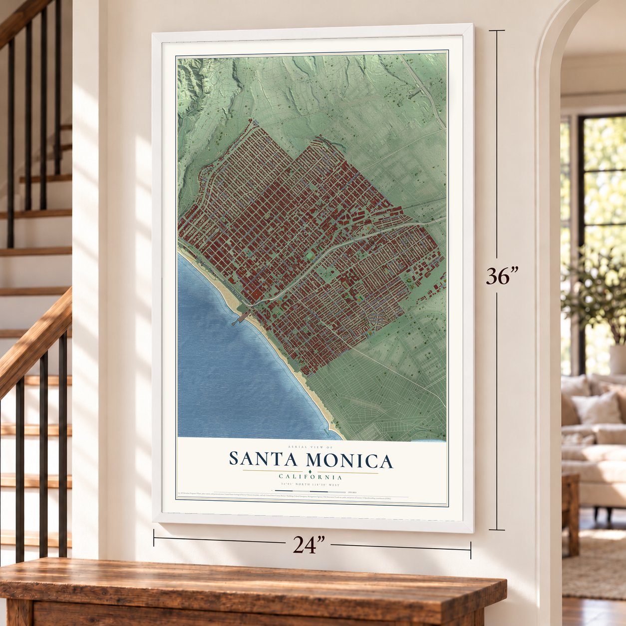
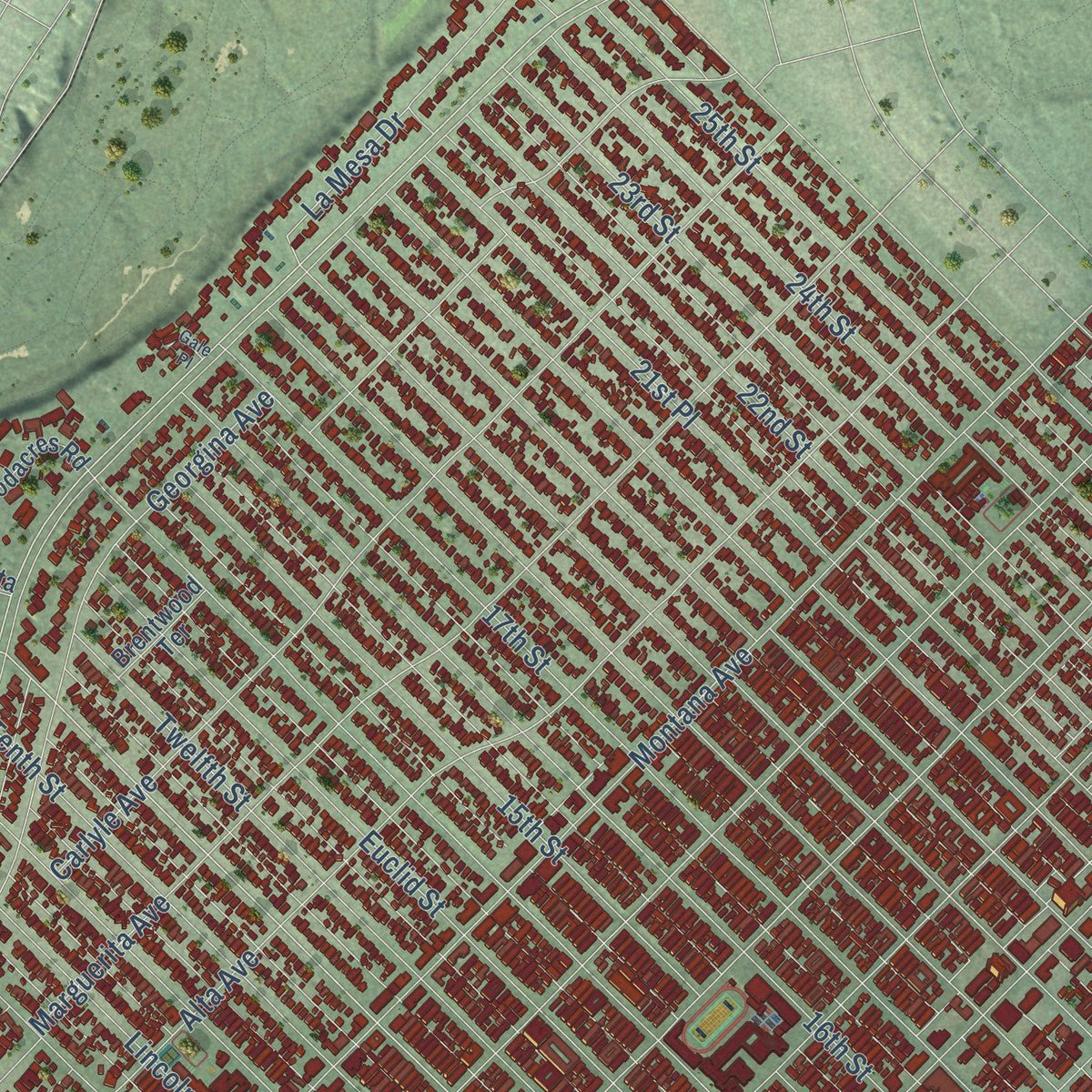
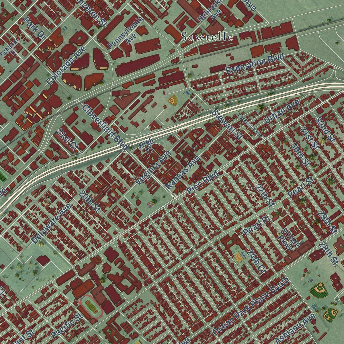
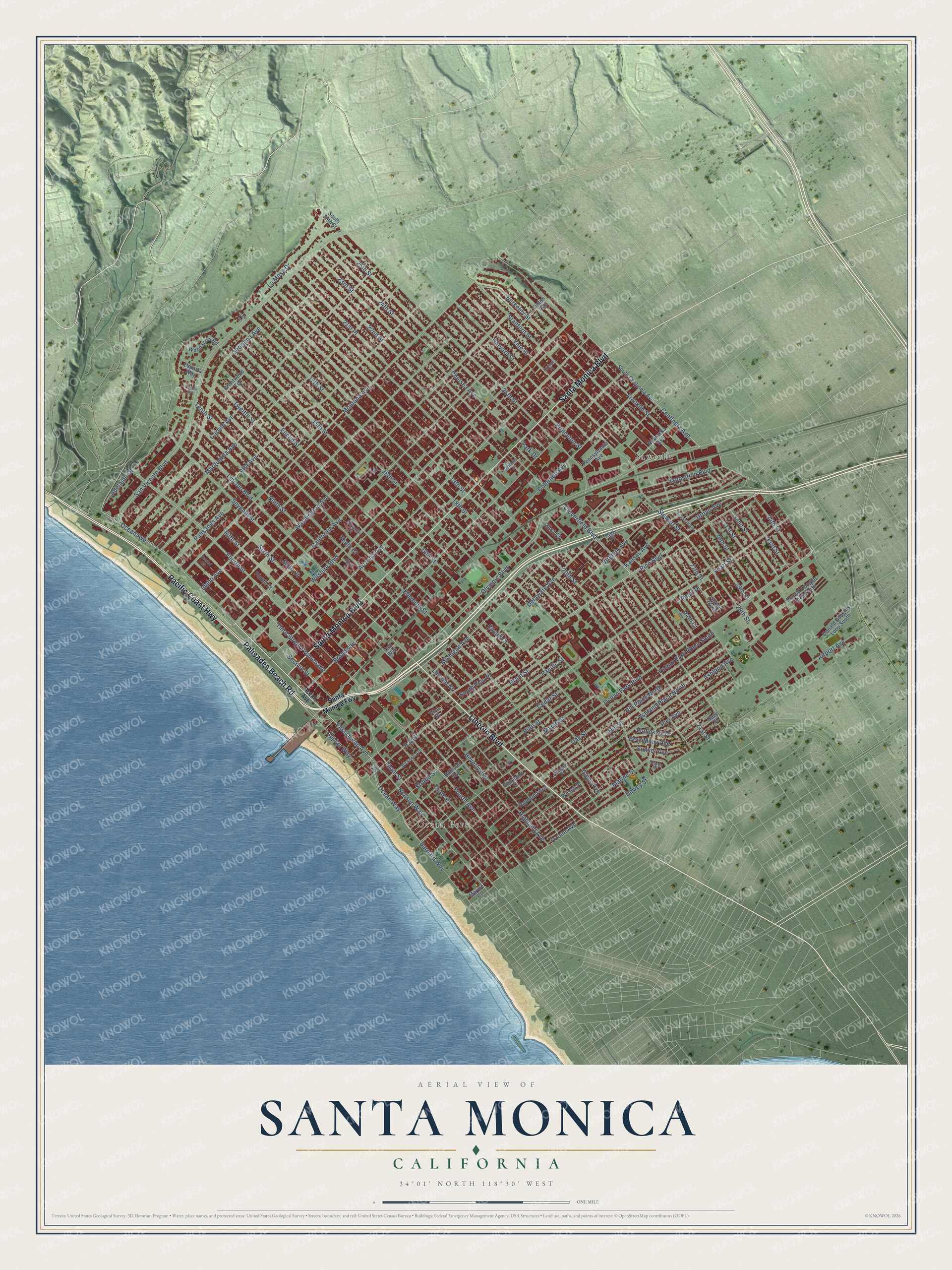
Explore Santa Monica, California from a whole new perspective. Created using aerial imagery and detailed geographic data, this map captures Santa Monica building by building, with labeled streets, familiar landmarks, and shaded topographical relief that highlights the natural contours of the landscape.
Combining modern data with the timeless character of a vintage atlas, this map is just as interesting up close as it is beautiful on the wall. Whether you grew up in Santa Monica, spent memorable years there, or call it home today, this unique map is a great way to celebrate a place that means something to you. Zoom in on the preview to look for your street, and then order a print to put your memories on the wall.
Three ways to hang it
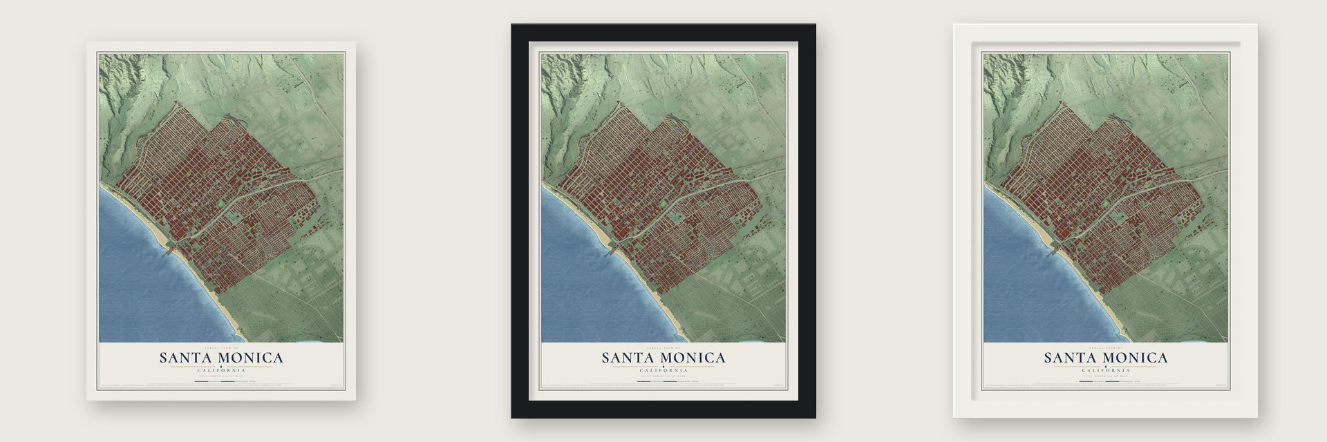
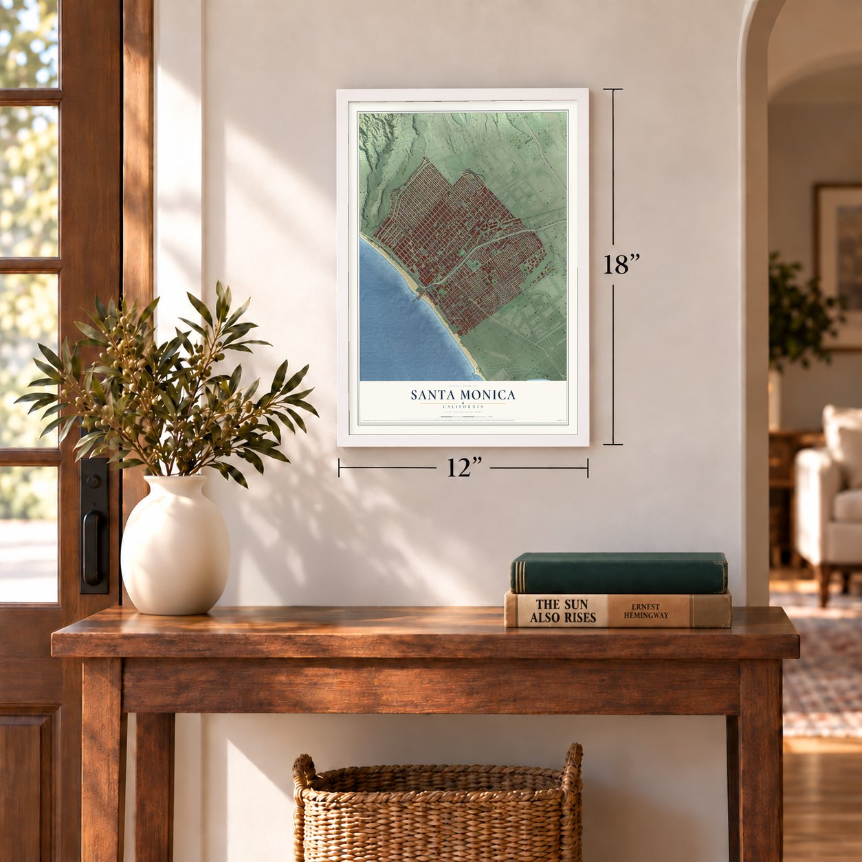
Unframed archival matte, a black wood frame or a white wood frame.
Up close
Geography Worth Displaying
This map was created using accurate cartographic data and authoritative geographic sources, including the U.S. Geological Survey and the Census Bureau. The map brings together terrain, waterways, roads, and building detail. The majority of the streets are labeled, houses are accurately depicted, and the topography is derived from government sources. Combining local data with carefully composed color and shading leads to this beautifully detailed Santa Monica artwork for your wall.
Rather than simply showing street outlines, we’ve included as many of the street names as we could reasonably fit on the map while keeping their names legible. Zoom in on the high resolution preview to see exactly what’s on the map. We truly set out to create a statement piece for anyone who loves Santa Monica. So whether it’s for you, or a gift for someone you love, we hope this map of Santa Monica brings back fond memories.
Read the story behind this map of Santa Monica, California from 2026.
Find your street
Names on the Santa Monica map
Every name below is printed on this map. Look for your street, your school, the park where you played, or the pond down the road.
Places and landmarks2
- Ocean Park
- Sawtelle
Streets and roads149
- Lincoln Boulevard
- Pacific Coast Highway
- Palisades Beach Road
- Santa Monica Boulevard
- Olympic Boulevard
- Ocean Avenue
- East Ocean Avenue
- Neilson Way
- Michigan Avenue
- Eleventh Street
- Main Street
- San Vicente Boulevard
- Ocean Park Boulevard
- 27th Street
- Appian Way
- Virginia Avenue
- Stewart Street
- Fourth Street
- 25th Street
- 28th Street
- La Mesa Drive
- Palisades Avenue
- 34th Street
- 17th Street
- 16th Street
- 14th Street
- 18th Street
- 20th Street
- 21st Street
- Colorado Avenue
Show all 149 streets
- Euclid Street
- Seventh Street
- Pico Boulevard
- 23rd Street
- Tenth Street
- 26th Street
- Arizona Avenue
- Broadway
- Wilshire Boulevard
- California Avenue
- Montana Avenue
- 19th Street
- 22nd Street
- Washington Avenue
- Georgina Avenue
- Twelfth Street
- Pearl Street
- Sixth Street
- Marguerita Avenue
- Alta Avenue
- Ashland Avenue
- Ninth Street
- Idaho Avenue
- 24th Street
- Third Street
- Fifth Street
- Hill Street
- Second Street
- 15th Street
- Centinela Avenue
- Franklin Street
- Cloverfield Boulevard
- Berkeley Street
- Stanford Street
- Marine Street
- Carlyle Avenue
- Pacific Street
- Hill Place North
- Bay Street
- Pier Avenue
- Delaware Avenue
- Oak Street
- Dewey Street
- Yale Street
- Princeton Street
- Harvard Street
- Ocean Park Place South
- Ashland Place North
- Lincoln Court
- Airport Avenue
- Grant Street
- 21st Place
- Barnard Way
- Cedar Street
- Pine Street
- Maple Street
- Strand Street
- 31st Street
- Sunset Avenue
- Adelaide Drive
- Chelsea Avenue
- Euclid Court
- Ozone Avenue
- Kansas Avenue
- Fourth Avenue
- Exposition Boulevard
- 29th Street
- 30th Street
- Highland Avenue
- 32nd Street
- 33rd Street
- Third Street Promenade
- Urban Avenue
- Tenth Court
- South Pico Place
- Bryn Mawr Avenue
- Ocean Way
- Sixth Court
- Wellesley Drive
- Beverly Avenue
- 24th Court
- Glenn Avenue
- Pearl Place
- 21st Court
- Park Drive
- Santa Monica Fwy
- South 26th Street
- Fourth Court
- South Centinela Avenue
- Donald Douglas Loop North
- Pennsylvania Avenue
- Hollister Avenue
- Navy Street
- Village Parkway
- Raymond Avenue
- Nebraska Avenue
- Donald Douglas Loop South
- Woodacres Road
- Lipton Avenue
- High Place
- Brentwood Terrace
- Esparta Way
- Wilson Place
- Copeland Court
- Marine Court
- Taft Way
- Pico Place
- Ninth Court
- Bicknell Avenue
- Eleventh Court
- Schader Drive
- Ashland Place
- Dewey Place
- Yorkshire Avenue
- Second Court
- Foxtail Drive
- Arizona Place
- Gale Place
- Split Road
Names are listed as they appear on the printed map. Zoom into the product photos to find them.
About Santa Monica, California
Santa Monica is a city of 93,076 people in Los Angeles County, facing Santa Monica Bay on the Pacific. The Tongva lived here first, in the village of Comicranga. On August 3, 1769, the Spanish explorer Gaspar de Portolá and his men camped near what is now the corner of Barrington and Ohio Avenues. In 1839 Governor Juan Bautista Alvarado made Francisco Sepúlveda II the owner of Rancho San Vicente y Santa Mónica. Vaqueros who worked the rancho settled there with their families.
Later, John P. Jones and Robert Baker bought the rancho. In 1875 Baker and his wife, Arcadia Bandini de Stearns Baker, founded the town of Santa Monica, and it became a city in 1886. In the 1870s a railroad tied the town to Los Angeles, and a long wharf reached into the bay. The town's brick town hall of 1873 later served as a beer hall and is now part of the Santa Monica Hostel. In the early twentieth century, amusement piers and the Pacific Electric Railway made the town a beach resort for the whole Los Angeles area.
- Named for Saint MonicaOne story says the name honors the feast day of Saint Monica, the mother of Saint Augustine, though her feast falls on May 4. Another says Juan Crespí named the place for the Kuruvungna Springs, which reminded him of the tears Saint Monica wept over her son.
- Around the world in 1924Donald Wills Douglas Sr. opened a Douglas Aircraft plant at Clover Field, now Santa Monica Airport, in 1922. Two years later four Douglas planes left the field to try the first flight around the world. Two of them made it back on September 23, 1924, after flying 27,553 miles in 175 days, and a crowd of 200,000 met them.
- Wartime planes and RANDDouglas employed as many as 44,000 people here in 1943, and set designers from Warner Brothers Studios hid the factory and airfield under camouflage against air attack. The RAND Corporation started as a Douglas project in 1945 and became an independent think tank on May 14, 1948. It still works from a 15-acre campus facing the Civic Center.
Keep exploring California
Santa Monica is one of 1,990 California towns we've mapped. Every dot on the map is a print of its own.
The search covers every state, California first.
Near Santa Monica
Order 2 or more town maps and save 10%. Shown in the size and finish you picked above, so they hang as a set.
- Venice 12" x 18" / Archival Matte Print $39.99
- Marina del Rey 12" x 18" / Archival Matte Print $39.99
- Mar Vista 12" x 18" / Archival Matte Print $39.99

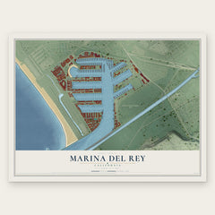
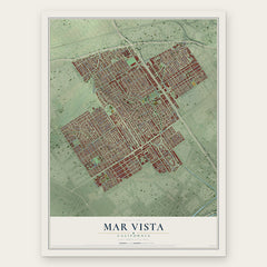
More maps nearby: Westwood, Los Angeles, Palms, Culver City and Beverly Hills.
The art of mapping a place
How This Map Was Made
Real places. Remarkable detail. Discover the layers that turn geographic data into a map of home.

The view from above
Aerial imagery reveals the character of the land: woodland, open fields, and the patterns of a place.

The shape of the land
Elevation data brings hills, valleys, and subtle changes in the landscape into view.

The details of home
Roads, waterways, and building footprints come together to make the map feel unmistakably local.

Geography becomes art
Considered color, shading, and typography bring the layers together in a map made for your wall.


Process illustrated with Mendon, Massachusetts. Aerial imagery: USDA NAIP. Terrain: USGS 3D Elevation Program. Map details and finished artwork: KNOWOL.
The Details
About This Print
Choose an archival matte print, or a black or white Ayous wood frame. The archival matte print is unframed.
Select your size and finish above to see the matching product image and price.
Materials & Craftsmanship
A contemporary map with the character of a classic atlas, printed on archival matte paper. Optional frames are made from Ayous wood.
Your printed map does not include the watermark shown in the full-map preview.
Shipping & Delivery
Free shipping within the United States. Every print is made to order in the USA.
Buying a gift? Add a note in your cart and we'll include it. We never put prices in the package.
Prints ship within 2 to 3 business days. Allow 7 to 10 days total from ordering for delivery. Timing may vary during holidays or periods of high order volume.
Read our shipping policy.
Returns and damaged prints
Each print is made to order. Change-of-mind refunds are not available after production.
If your print arrives damaged, misprinted or incorrect, contact support@knowol.com within 30 days of receiving it. Include your order number, photos and a description of the issue.
Read our full refund and replacement policy. For questions about your order, email support@knowol.com.