


Search for another town





Free U.S. delivery 7 to 10 days after you order
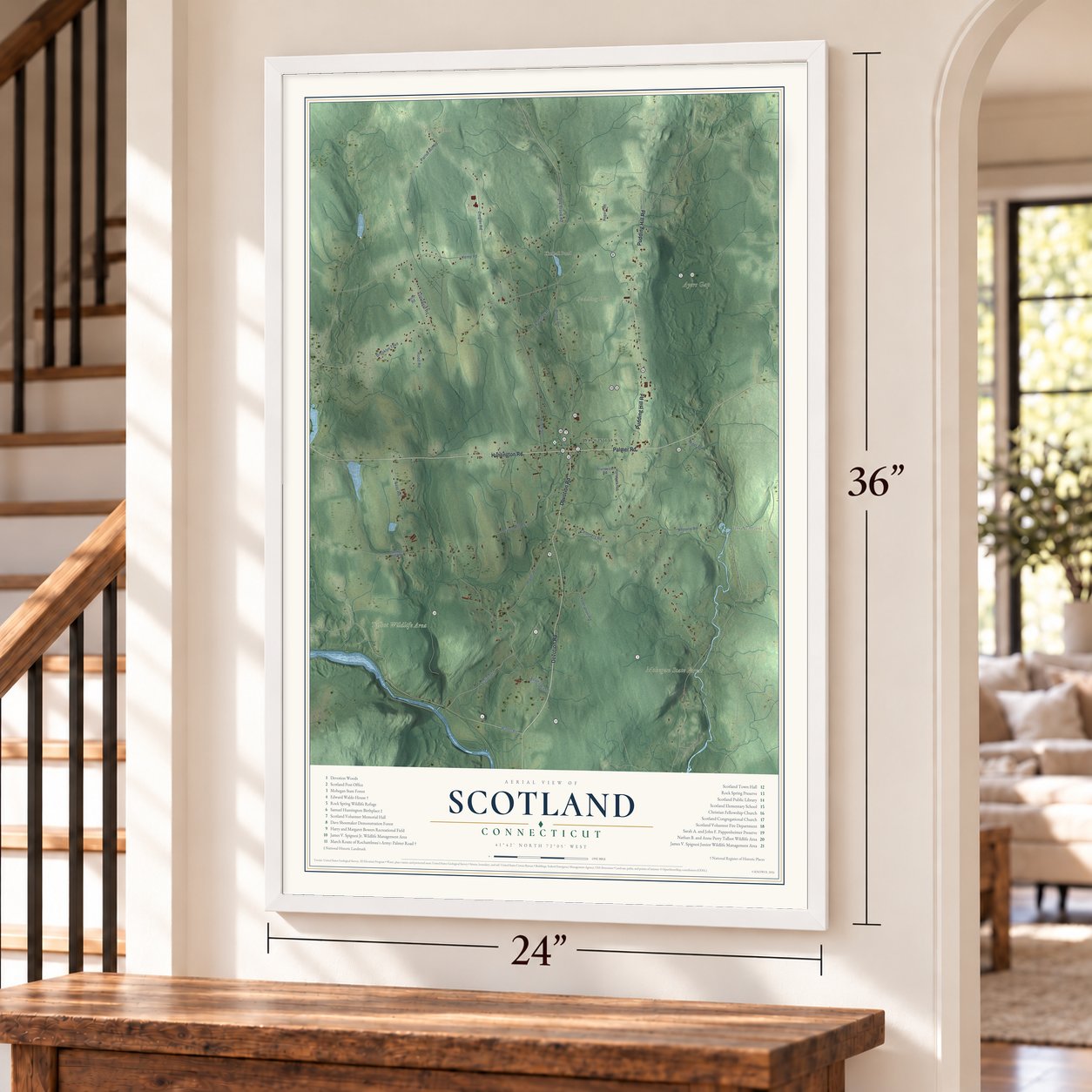
Scotland, Connecticut Map Art
Building by building, with labeled streets and shaded relief.
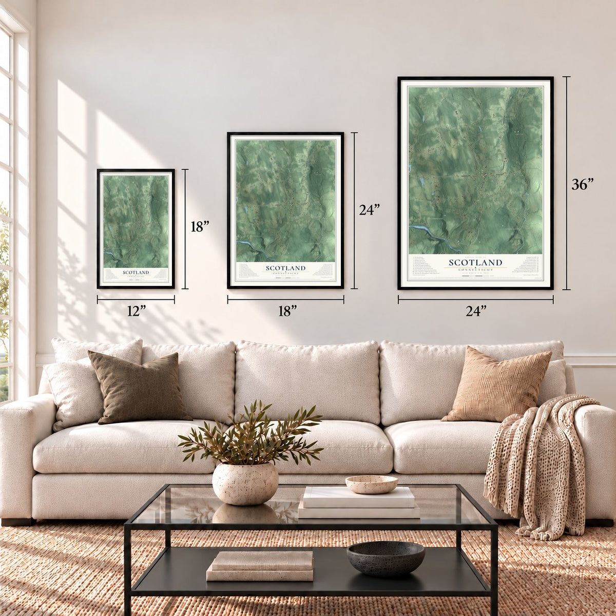
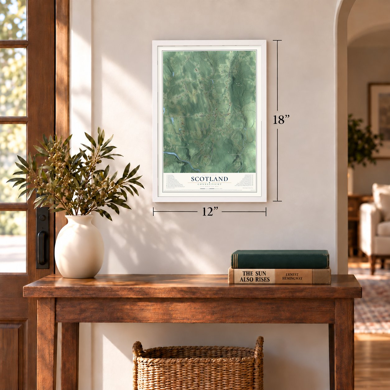
12" x 18" Archival Matte Print
A Map of Home. A Work of Art.
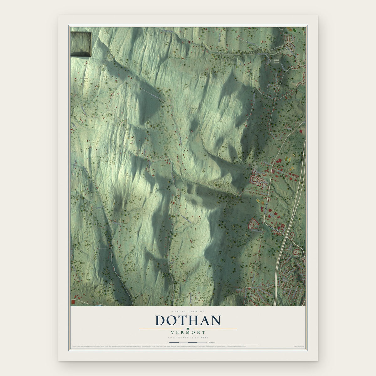
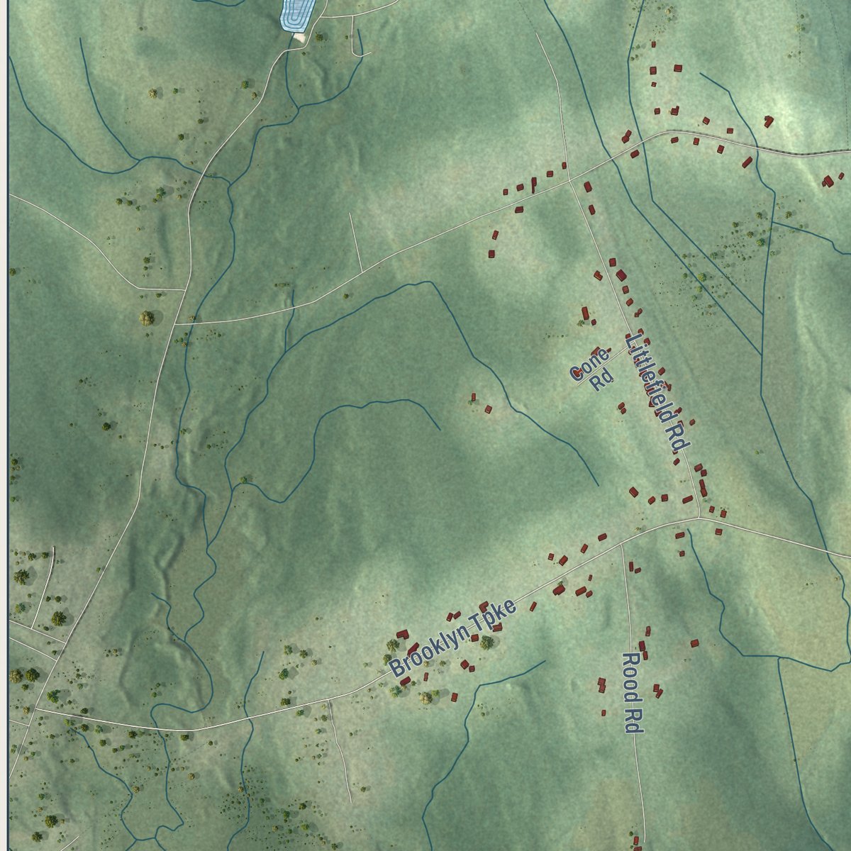
Explore Scotland, Connecticut from a whole new perspective. Created using aerial imagery and detailed geographic data, this map captures Scotland building by building, with labeled streets, familiar landmarks, and shaded topographical relief that highlights the natural contours of the landscape.
Combining modern data with the timeless character of a vintage atlas, this map is just as interesting up close as it is beautiful on the wall. Whether you grew up in Scotland, spent memorable years there, or call it home today, this unique map is a great way to celebrate a place that means something to you. Zoom in on the preview to look for your street, and then order a print to put your memories on the wall.

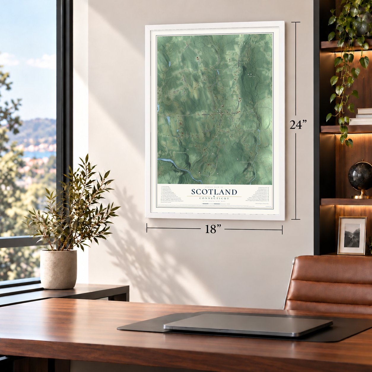
Three ways to hang it
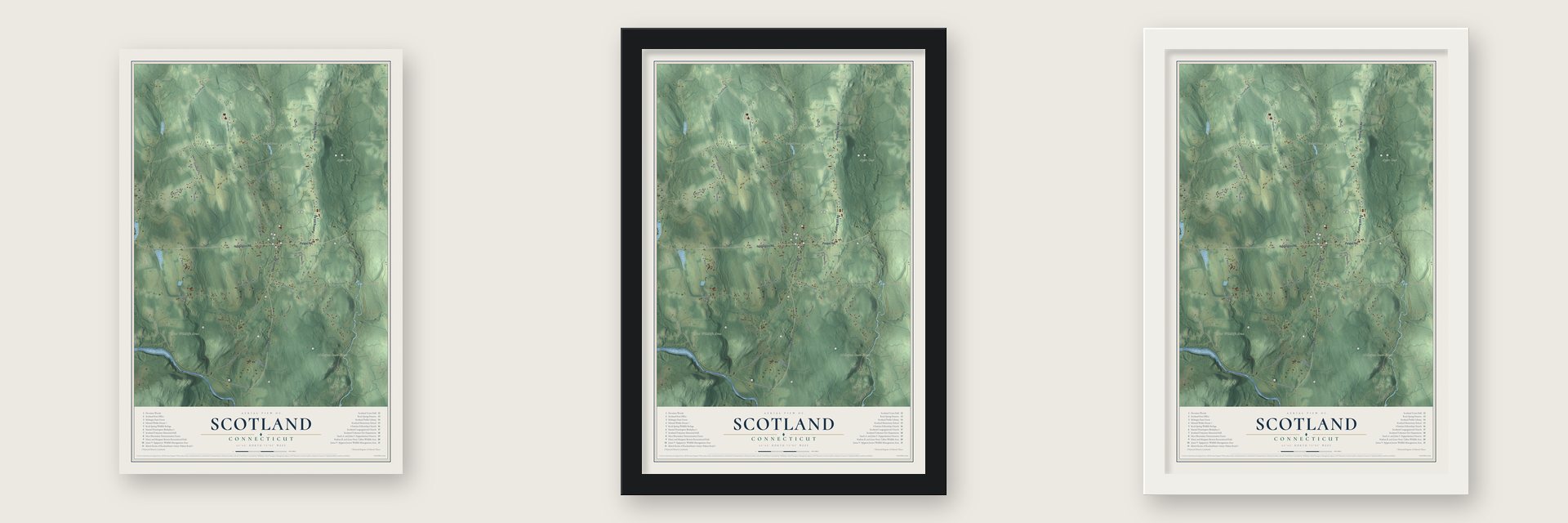
Unframed archival matte, a black wood frame or a white wood frame.
Up close
Geography Worth Displaying
This map was created using accurate cartographic data and authoritative geographic sources, including the U.S. Geological Survey (USGS) and FEMA. The map brings together terrain, waterways, roads, and building detail. The majority of the streets are labeled, houses are accurately depicted, and the topography is derived from government sources. Combining local data with carefully composed color and shading leads to this beautifully detailed Scotland artwork for your wall.
Rather than simply showing street outlines, we’ve included as many of the street names as we could reasonably fit on the map while keeping their names legible. Zoom in on the high resolution preview to see exactly what’s on the map. We truly set out to create a statement piece for anyone who loves Scotland. So whether it’s for you, or a gift for someone you love, we hope this map of Scotland brings back fond memories.
Explore the full map of Scotland, Connecticut and read about the local places it shows.

Find your street
Names on the Scotland map
Every name below is printed on this map. Look for your street, your school, the park where you played, or the pond down the road.
Places and landmarks8
- Downtown
- Parish Hill
- Pudding Hill
- Fort Ned Pond
- Kimball Pond
- Mohegan State Forest
- Ayers Gap
- Talbot Wildlife Area
Streets and roads29
- Devotion Road
- Huntington Road
- Palmer Road
- Pudding Hill Road
- Waldo Road
- Brooklyn Turnpike
- Station Road
- Hanover Road
- Miller Road
- Kemp Road
- Bass Road
- Brook Road
- Pinch Street
- Ziegler Road
- Gager Hill Road
- Plains Road
- Cemetery Road
- Littlefield Road
- Khourie Road
- Murphy Hill Road
- Kasacek Road
- Rood Road
- Toleration Road
- Parish Hill Road
- South Brook Road
- Decker Hill Road
- Brunswick Road
- Rogers Road
- Cone Road
Names are listed as they appear on the printed map. Zoom into the product photos to find them.
About Scotland, Connecticut
Scotland is a town of 1,576 people in Windham County, the fewest of any town in the county. Isaac Magoon came to the new settlement of Windham in 1698 and set off east into country no one had settled. In 1700 he bought 1,950 acres from Windham, put up a small house beside Merrick's Brook, and named the place Scotland for the land his family came from.
Good soil and enough water to run mills drew about twenty more families within two or three years, and a sawmill went up on the brook. For Sunday meeting they rode seven or eight miles to Windham Green over a rough trail, until 1732, when Scotland was made a parish with about eighty families. It gathered its own church on October 22, 1735, and remained part of Windham until it was incorporated as a town in May 1857.
“The youngest daughter is always the favorite.”
- Born here on July 3, 1731Samuel Huntington grew up in a saltbox on today's Route 14, the son of a farmer and clothier. Apprenticed to a cooper at 16, he learned Latin, read law in borrowed books and married Martha Devotion, the minister's daughter and a childhood playmate. He later signed the Declaration of Independence, presided over the Continental Congress from 1779 to 1781 and governed Connecticut from 1786 until his death in 1796. His brother Jonathan wrote the old round "Scotland's Burning."
- The French army's roadRochambeau's French troops marched over the road east of the village in 1781, on their way from Providence to Yorktown, and came back the same way in 1782. Their chroniclers complained that it was narrow, steep and stony, and on the westward march the baggage wagons rolled into camp at Windham late. Palmer Road still climbs between fieldstone walls and open fields much as the French saw it.
- The first house, about 1715Edward Waldo, a farmer and church deacon, bought land at the south end of town in 1702 and built the first house in what is now Scotland around 1715. Six generations of Waldos lived there for over 250 years, and the family produced the portrait painter Samuel Lovett Waldo. Ruth Fanshaw Waldo gave the house and everything in it to the Scotland Historical Society in 1975, and the society runs it as a museum.
- Its own town in 1857Scotland's first town meeting took place on July 4, 1857, with a celebration in the church afterward. The town had about a thousand people in 1860 but fewer than five hundred by 1892, as its young people left for Providence, Norwich, Hartford and even Nebraska. Those who stayed went dry by vote in 1884, organized Shetucket Grange in 1887, funded a free library in 1894 and combined the five district schools into one school in 1895.
Keep exploring Connecticut
Scotland is one of 382 Connecticut towns we've mapped. Every dot on the map is a print of its own.
The search covers every state, Connecticut first.
Near Scotland
Order 2 or more town maps and save 10%. Shown in the size and finish you picked above, so they hang as a set.
- Canterbury 12" x 18" / Archival Matte Print $39.99
- Sprague 12" x 18" / Archival Matte Print $39.99
- North Windham 12" x 18" / Archival Matte Print $39.99
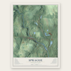
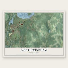
More maps nearby: Windham, South Windham, Franklin, Hampton and Baltic.
The art of mapping a place
How This Map Was Made
Real places. Remarkable detail. Discover the layers that turn geographic data into a map of home.

The view from above
Aerial imagery reveals the character of the land: woodland, open fields, and the patterns of a place.

The shape of the land
Elevation data brings hills, valleys, and subtle changes in the landscape into view.

The details of home
Roads, waterways, and building footprints come together to make the map feel unmistakably local.

Geography becomes art
Considered color, shading, and typography bring the layers together in a map made for your wall.


Process illustrated with Mendon, Massachusetts. Aerial imagery: USDA NAIP. Terrain: USGS 3D Elevation Program. Map details and finished artwork: KNOWOL.
The Details
About This Print
Choose an archival matte print, or a black or white Ayous wood frame. The archival matte print is unframed.
Select your size and finish above to see the matching product image and price.
Materials & Craftsmanship
A contemporary map with the character of a classic atlas, printed on archival matte paper. Optional frames are made from Ayous wood.
Your printed map does not include the watermark shown in the full-map preview.
Shipping & Delivery
Free shipping within the United States. Every print is made to order in the USA.
Buying a gift? Add a note in your cart and we'll include it. We never put prices in the package.
Prints ship within 2 to 3 business days. Allow 7 to 10 days total from ordering for delivery. Timing may vary during holidays or periods of high order volume.
Read our shipping policy.
Returns and damaged prints
Each print is made to order. Change-of-mind refunds are not available after production.
If your print arrives damaged, misprinted or incorrect, contact support@knowol.com within 30 days of receiving it. Include your order number, photos and a description of the issue.
Read our full refund and replacement policy. For questions about your order, email support@knowol.com.