
Search for another town




Free U.S. delivery 7 to 10 days after you order
Seaford, New York Map Art
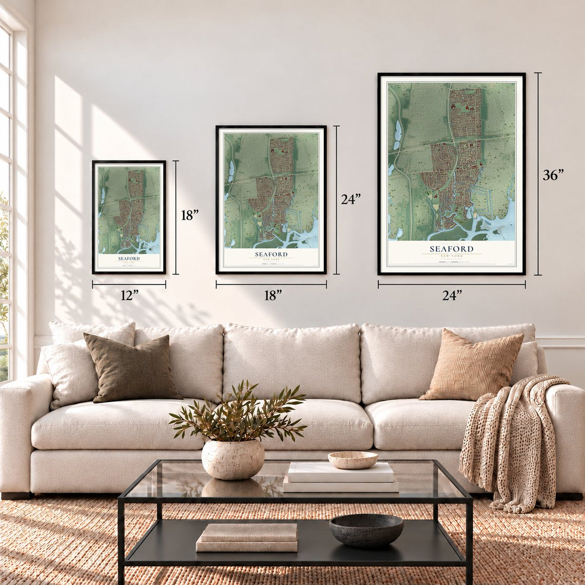
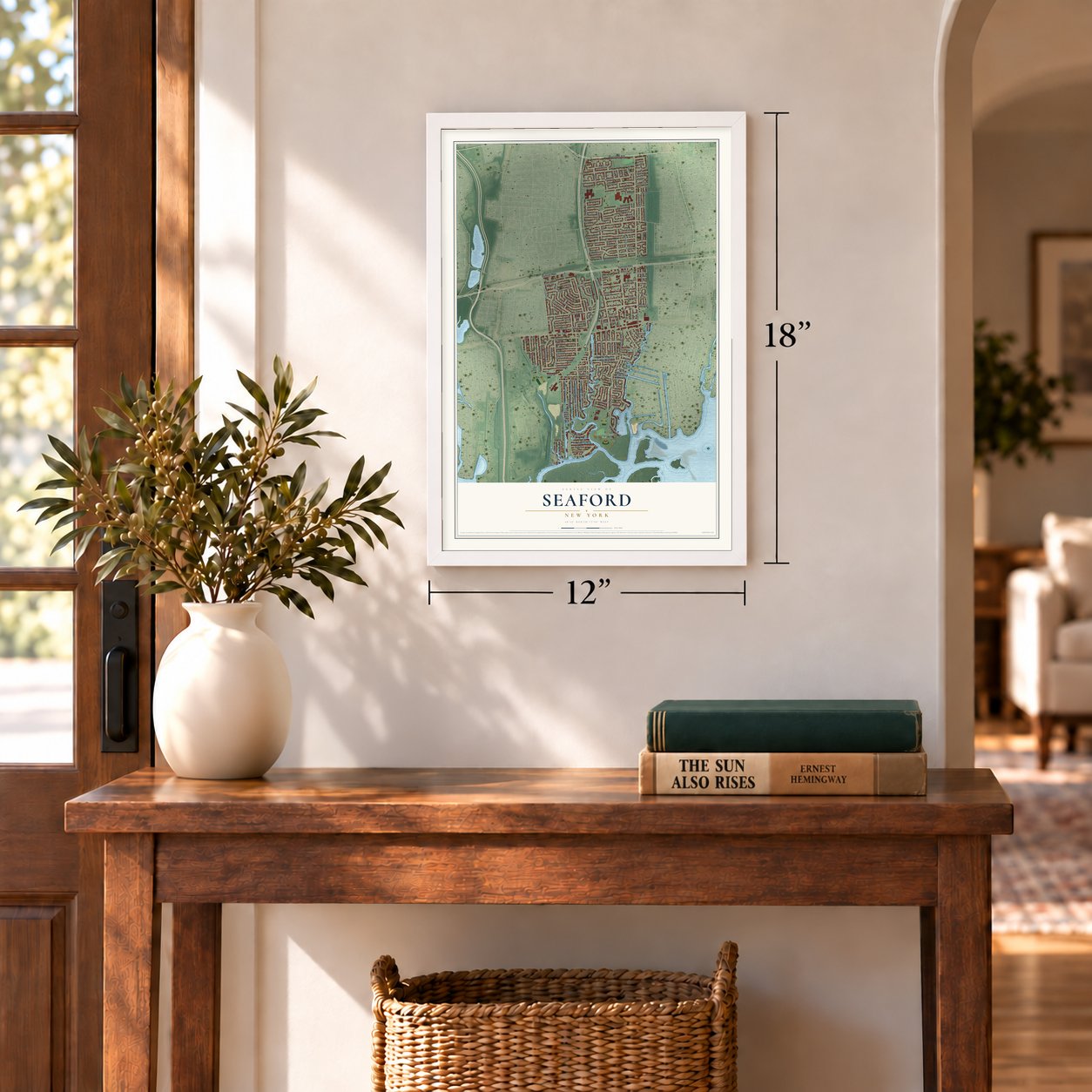
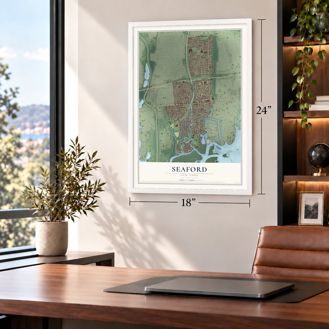
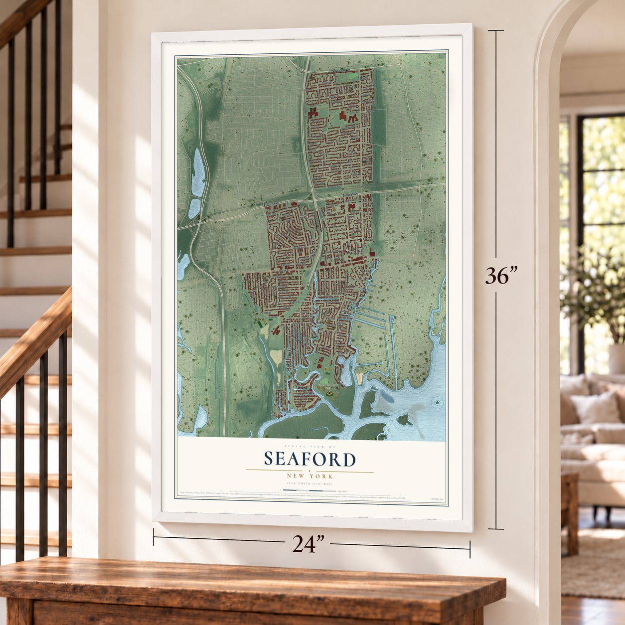
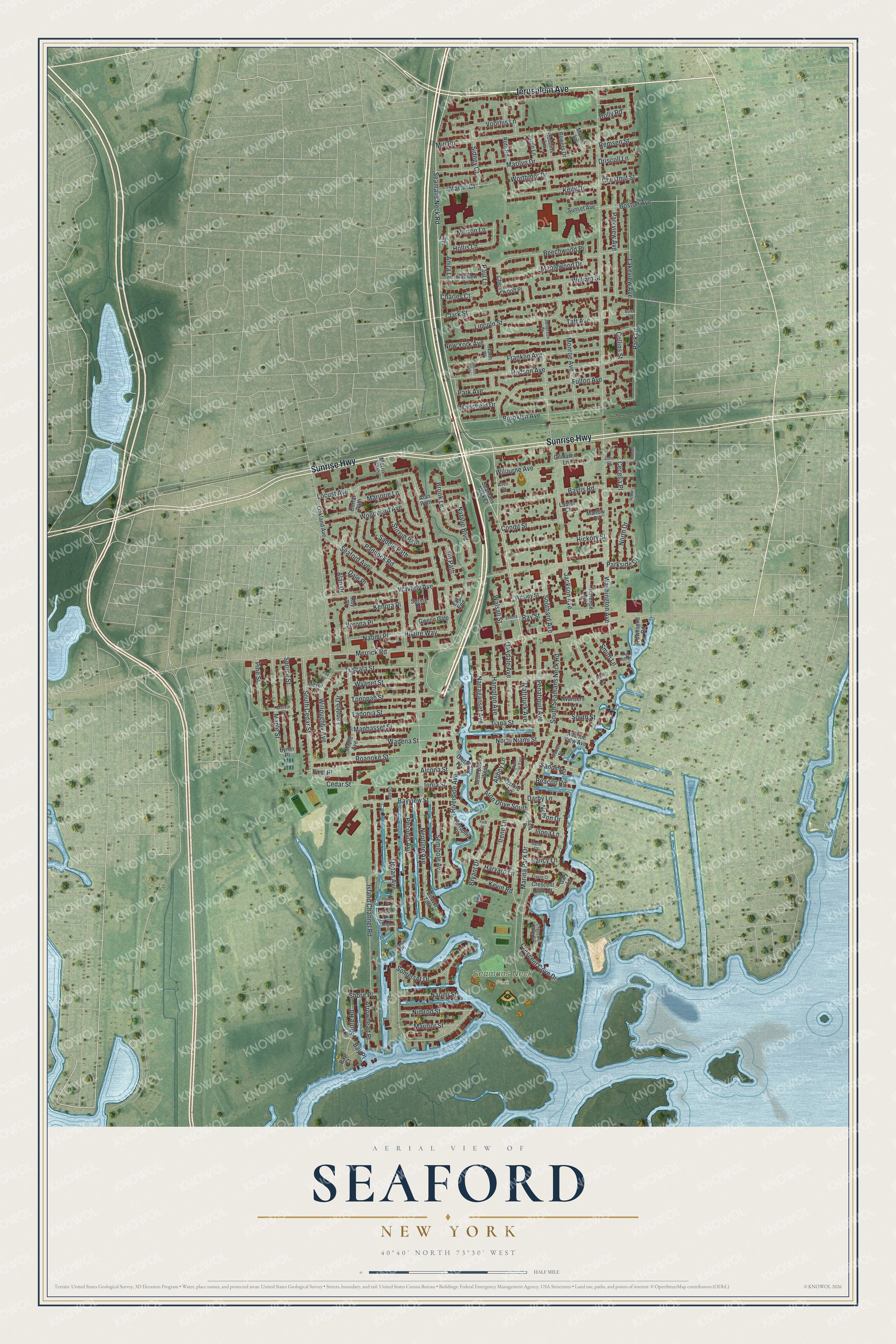
A new map of Seaford, New York, made in 2026 and printed to order on thick archival matte paper.
12" x 18" Archival Matte Print
A Map of Home. A Work of Art.
Bring a piece of Seaford home. Whether it’s where you grew up, your current home, or simply a moment in your life, this Seaford, New York map print brings those memories to your wall. Antique-inspired styling and modern geographic detail combine to create artwork that’s beautiful from across the room, with plenty to study and explore when you get up close.
Three ways to hang it
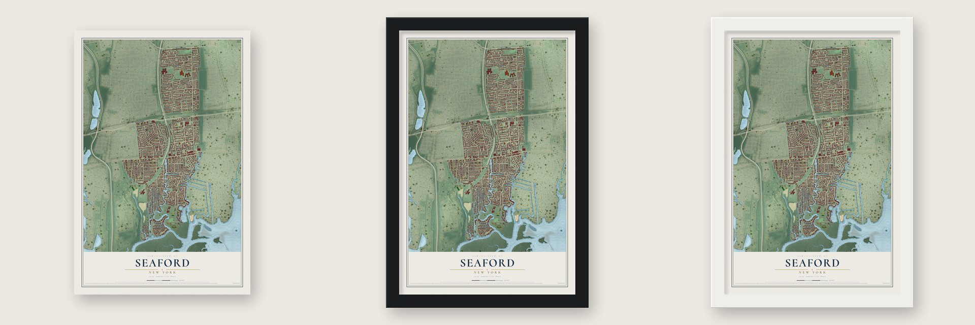
Unframed archival matte, a black wood frame or a white wood frame.
Up close
Real geography. Art worth displaying.
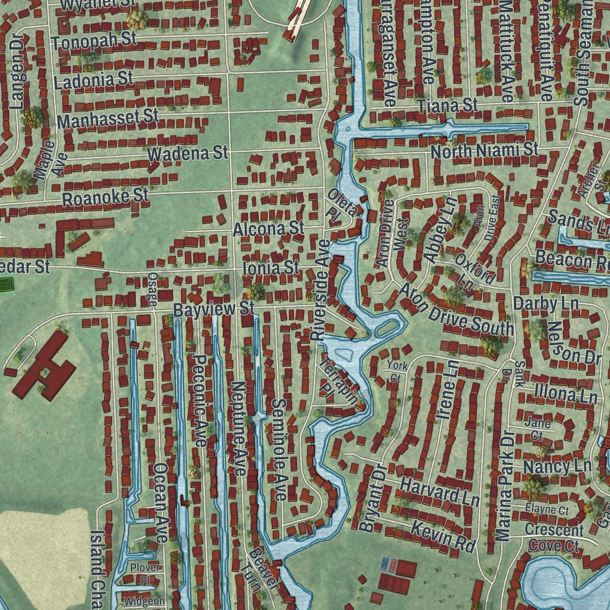
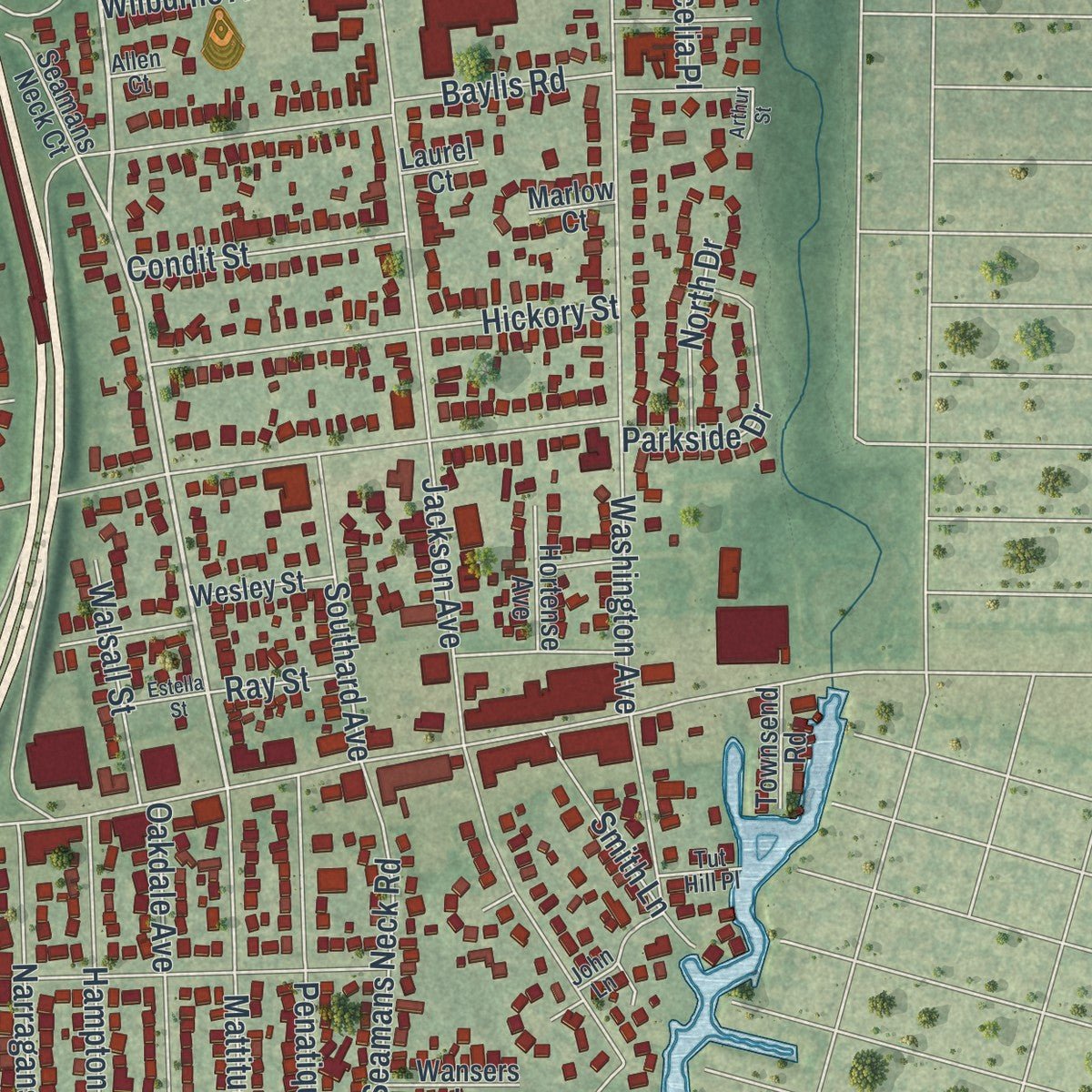
This map was created using accurate cartographic data and authoritative geographic sources, including the U.S. Geological Survey (USGS) and FEMA. The map brings together terrain, waterways, roads, and building detail. The majority of the streets are labeled, houses are accurately depicted, and the topography is derived from government sources. Combining local data with carefully composed color and shading leads to this beautifully detailed Seaford artwork for your wall.
Rather than simply showing street outlines, we’ve included as many of the street names as we could reasonably fit on the map while keeping their names legible. Zoom in on the high resolution preview to see exactly what’s on the map. We truly set out to create a statement piece for anyone who loves Seaford. So whether it’s for you, or a gift for someone you love, we hope this map of Seaford brings back fond memories.
Explore the full map of Seaford, New York and read about the local places it shows.

About Seaford, New York
Within New York State, Seaford is classified as a community, with an identity tied to places residents know by name. Local reference points include Sunrise Highway, connecting the community's present landscape with the names that define this part of the state.
- Familiar local routesSunrise Highway, Seamans Neck Road and Washington Avenue cross the community.
- Part of New YorkSeaford is identified in the sources as a community in this New York county.
Find your street
Names on the Seaford map
Every name below is printed on this map. Look for your street, your school, the park where you played, or the pond down the road.
Places and landmarks1
- Seamans Neck Park
Streets and roads187
- Jerusalem Avenue
- Sunrise Highway
- Seamans Neck Road
- Washington Avenue
- Jackson Avenue
- Merrick Road
- Ocean Avenue
- South Seamans Neck Road
- Waverly Avenue
- Neptune Avenue
- Island Channel Road
- Willoughby Avenue
- Clark Street
- Locust Avenue
- Riverside Avenue
- New York Avenue
- Hudson Avenue
- Marina Park Drive
- Marilyn Drive
- Mill Road
- Maple Street
- Seaford Avenue
- Franklin Avenue
- Park Avenue
- Roanoke Street
- Brooklyn Avenue
- Beechwood Place
- South Cedar Street
- Peconic Avenue
- Park Drive
Show all 187 streets
- Lincoln Street
- Bayview Street
- Darby Lane
- Crescent Cove Drive
- Paddock Road
- Lakeview Avenue
- Ladonia Street
- Parkview Avenue
- Bryant Drive
- Manhasset Street
- Somerset Drive
- Wadena Street
- Hickory Street
- Kenora Place
- Fulton Avenue
- Spruce Street
- Tuscala Street
- Keily Drive
- Hilaire Way
- Monroe Avenue
- Seminole Avenue
- Maplewood Drive
- Sidney Court
- Worthmor Drive
- Woodward Avenue
- Penatiquit Avenue
- Saddle Path
- Mattituck Avenue
- Tonopah Street
- Natalie Boulevard
- Oakdale Avenue
- North Niami Street
- Tiana Street
- Hampton Avenue
- Narraganset Avenue
- Langen Drive
- Cedar Street
- Wyanet Street
- Nimrod Street
- Southard Avenue
- Hollis Lane
- Parkside Drive
- Ionia Street
- Brook Lane
- Voorhis Lane
- Shore Road
- Condit Street
- South Street
- Wilburne Avenue
- Marinor Street
- Naomi Street
- Stirrup Path
- Boston Avenue
- Martin Court
- Verona Place
- Naomi Place
- William Street
- Bit Path
- Arrowhead Place
- Walsall Street
- Anita Lane
- Alcona Street
- Pine Street
- Aron Drive South
- Irene Lane
- Alan Drive
- Baylis Road
- Beacon Road
- Smith Lane
- Marjorie Lane
- Morton Lane
- Kevin Road
- North Drive
- Abbey Lane
- Cecelia Place
- Mansfield Drive
- Remsen Street
- Dale Place
- Harvard Lane
- Chestnut Street
- Taft Avenue
- Sands Lane
- Bay Place
- Charles Court
- First Place
- Nelson Drive
- Illona Lane
- Nancy Lane
- Holly Road
- Driscoll Lane
- Ray Street
- Shore Place
- Collins Street
- Paul Lane
- Aron Drive West
- Crescent Cove Court
- Byron Place
- Maple Avenue
- Oakland Avenue
- Spring Drive
- Cherrywood Place
- Roth Road
- Matthew Lane
- Gwenn Gate
- Atlantic View Avenue
- Terrapin Place
- Oxford Lane
- Sunset Avenue
- Seamans Neck Court
- Hortense Avenue
- Wesley Street
- Wansers Lane
- Bay Court
- Corral Path
- Joyce Lane
- Robbins Lane
- Bowers Drive
- Townsend Road
- Oleta Place
- Morris Gate
- Beaver Turn
- Gilmartin Lane
- Alan Path
- Marvin Lane
- East End
- Marlow Court
- Gary Lane
- Norm Place
- Meyer Lane
- Laurel Court
- Roy Place
- Joy Court
- Sank Drive
- Crescent Cove Circle
- John Lane
- John Street
- Melvin Place
- Archer Street
- Jefferson Street
- Tut Hill Place
- Jane Court
- Osage
- Canoe Place
- Allen Court
- Arthur Street
- Aron Drive East
- Elayne Court
- Estella Street
- Widgeon Place
- Lincoln Avenue
- Anglers Place
- Russell Court
- Plover Place
- Burke Court
- Clark Avenue
- York Court
- Poe Court
Names are listed as they appear on the printed map. Zoom into the product photos to find them.
The art of mapping a place
How This Map Was Made
Real places. Remarkable detail. Discover the layers that turn geographic data into a map of home.

The view from above
Aerial imagery reveals the character of the land: woodland, open fields, and the patterns of a place.

The shape of the land
Elevation data brings hills, valleys, and subtle changes in the landscape into view.

The details of home
Roads, waterways, and building footprints come together to make the map feel unmistakably local.

Geography becomes art
Considered color, shading, and typography bring the layers together in a map made for your wall.


Process illustrated with Mendon, Massachusetts. Aerial imagery: USDA NAIP. Terrain: USGS 3D Elevation Program. Map details and finished artwork: KNOWOL.
The Details
About This Print
Choose an archival matte print, or a black or white Ayous wood frame. The archival matte print is unframed.
Select your size and finish above to see the matching product image and price.
Materials & Craftsmanship
A contemporary map with the character of a classic atlas, printed on archival matte paper. Optional frames are made from Ayous wood.
Your printed map does not include the watermark shown in the full-map preview.
Shipping & Delivery
Free shipping within the United States. Every print is made to order in the USA.
Buying a gift? Add a note in your cart and we'll include it. We never put prices in the package.
Prints ship within 2 to 3 business days. Allow 7 to 10 days total from ordering for delivery. Timing may vary during holidays or periods of high order volume.
Read our shipping policy.
Returns and damaged prints
Each print is made to order. Change-of-mind refunds are not available after production.
If your print arrives damaged, misprinted or incorrect, contact support@knowol.com within 30 days of receiving it. Include your order number, photos and a description of the issue.
Read our full refund and replacement policy. For questions about your order, email support@knowol.com.
Find your town
Looking for another city?
Find a map of home in our New York collection.
Nearby
Maps of towns near Seaford
Know someone from one of these towns? Their map makes a great gift.


