
Search for another town

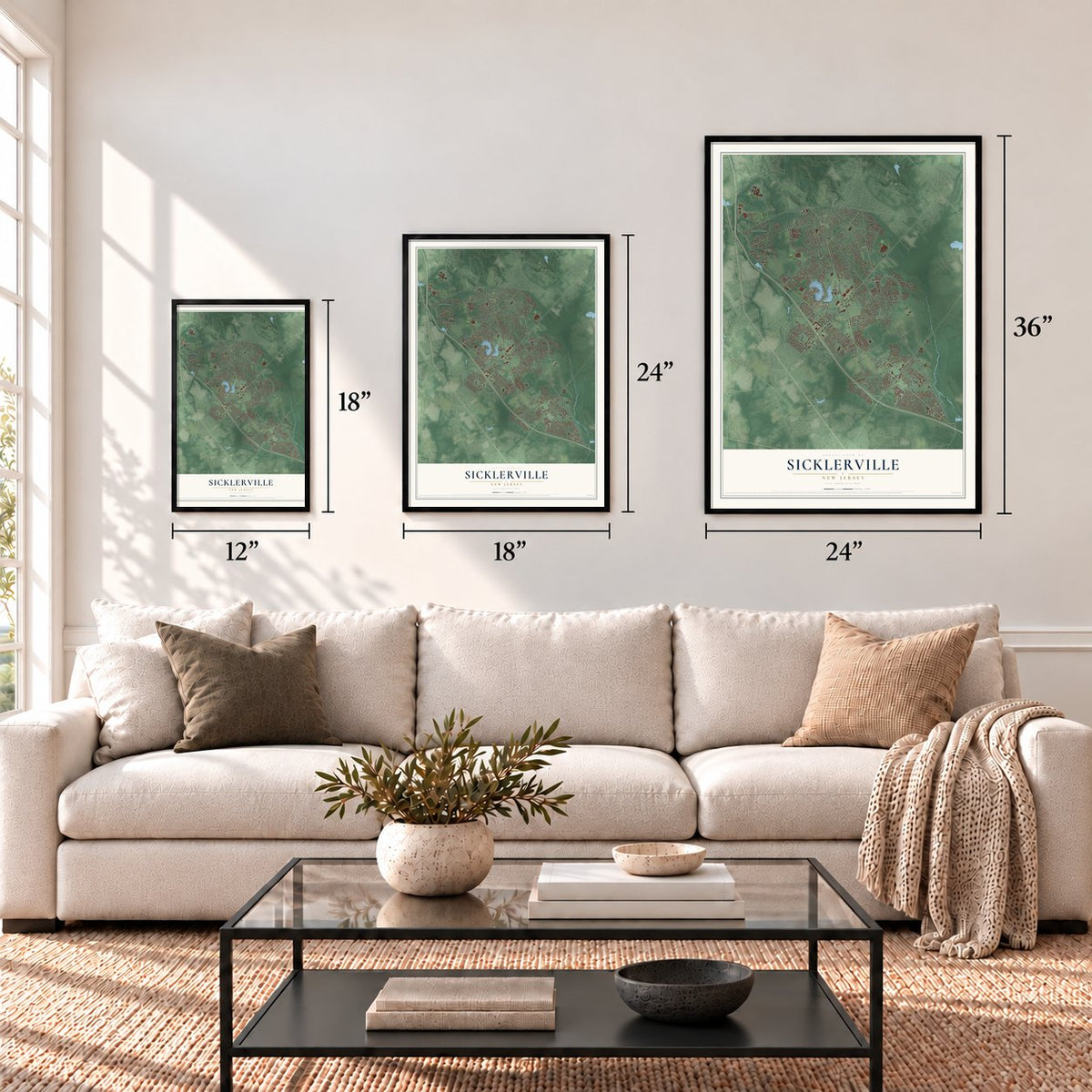

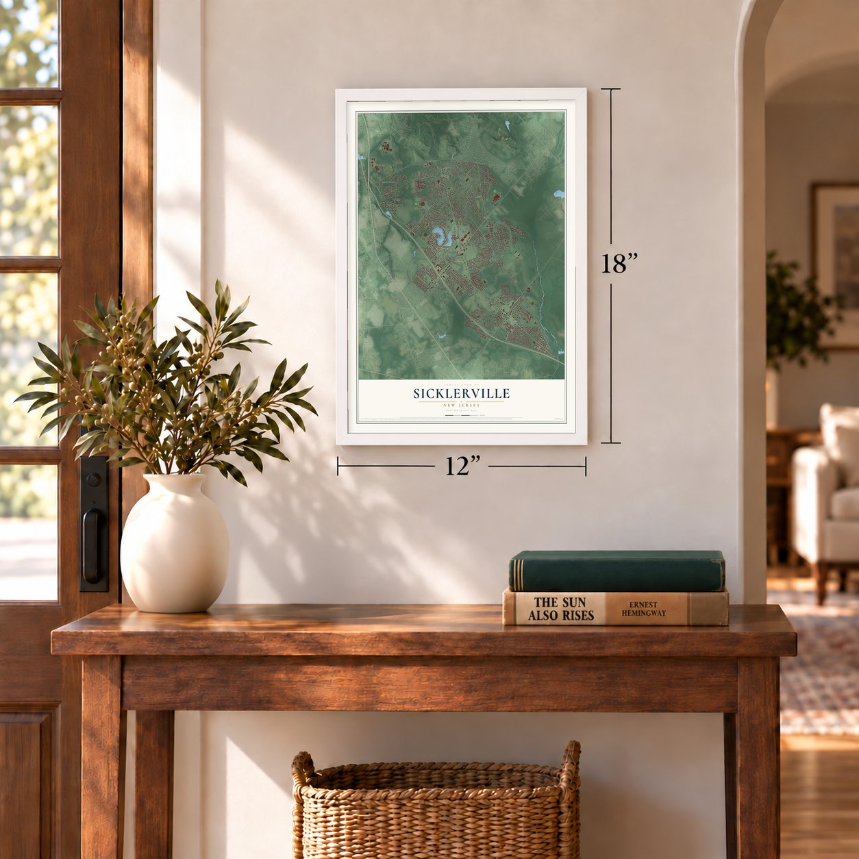

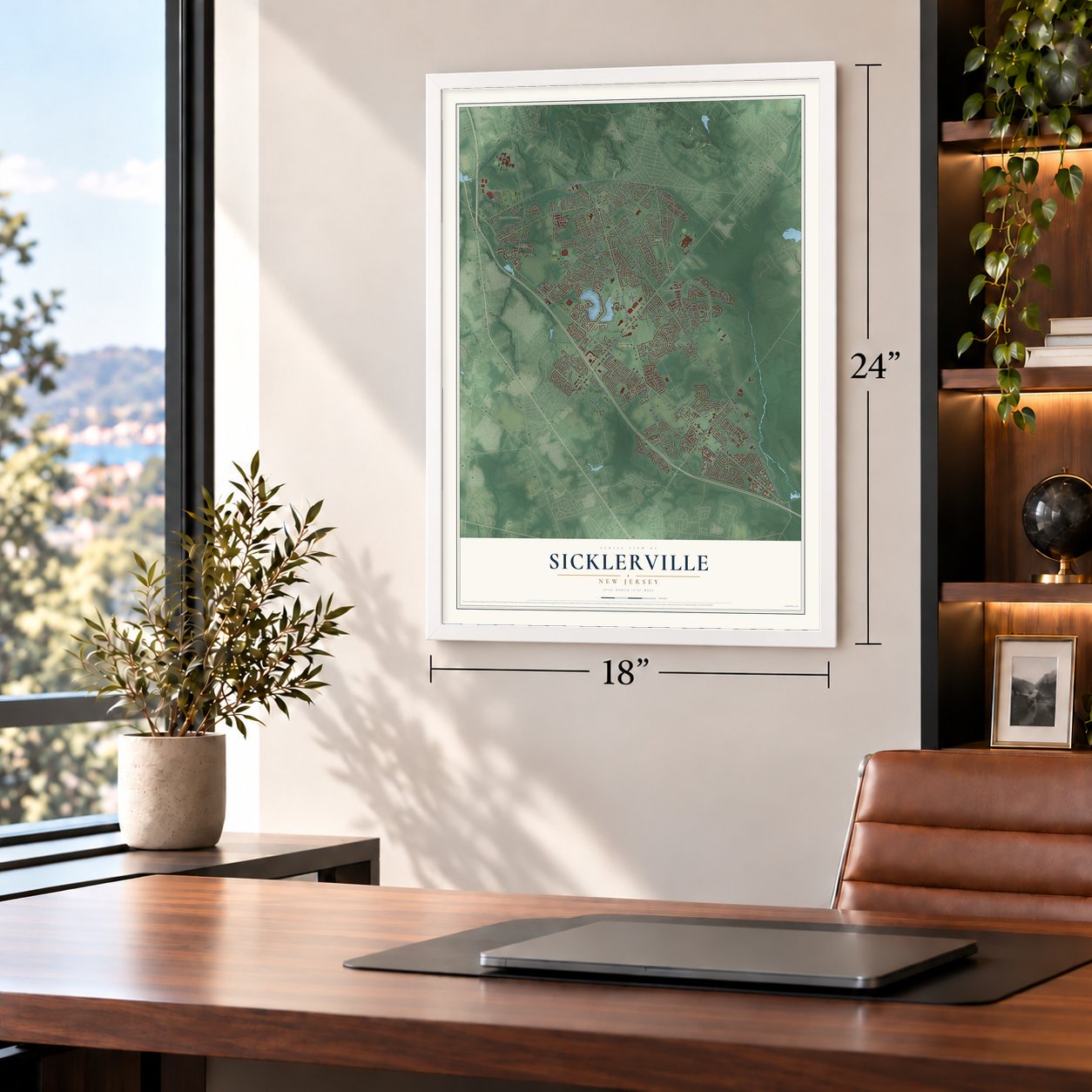


Free U.S. delivery 7 to 10 days after you order
Sicklerville, New Jersey Map Art
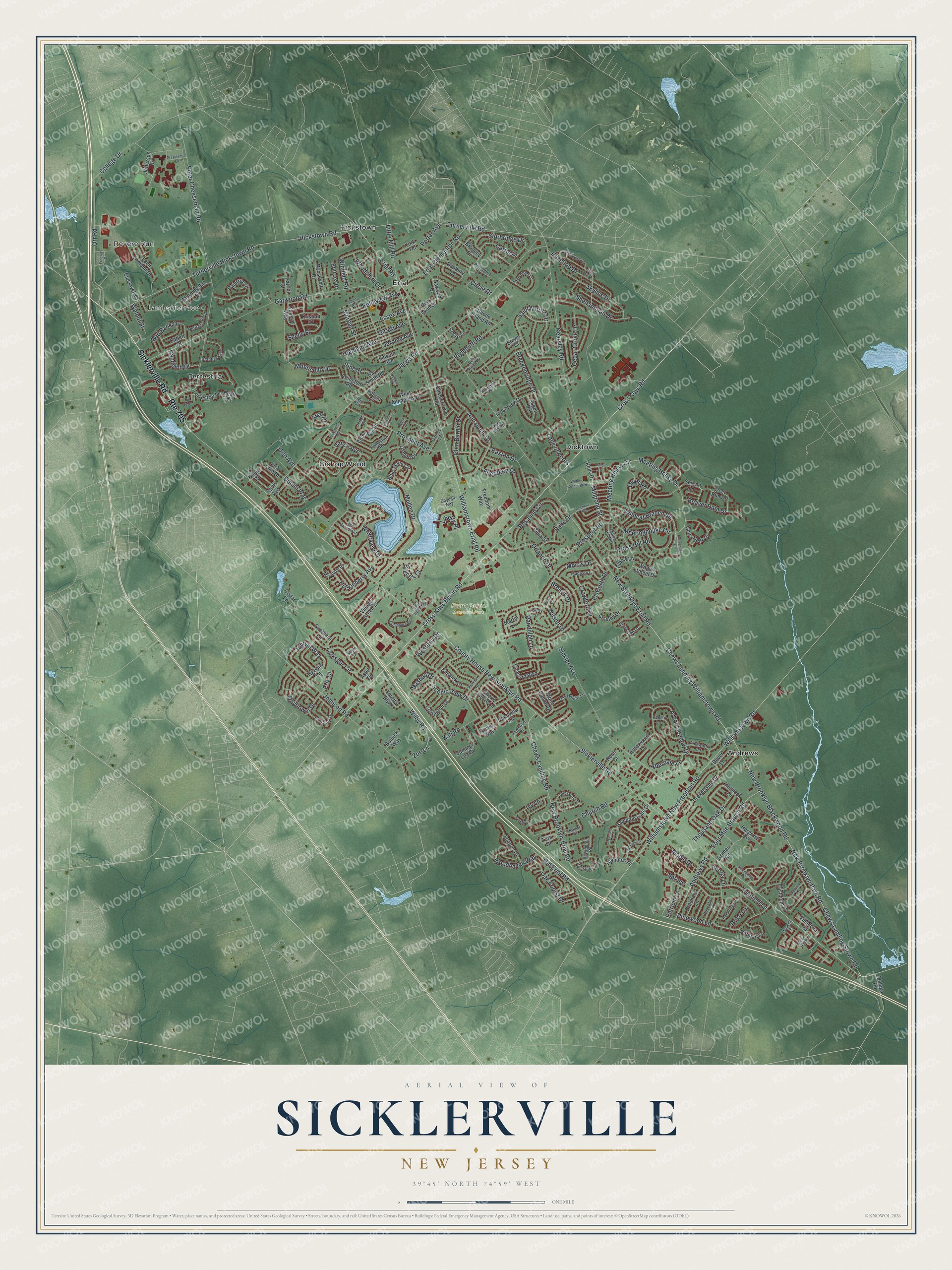
A new map of Sicklerville, New Jersey, made in 2026 and printed to order on thick archival matte paper.
12" x 18" Archival Matte Print
A Map of Home. A Work of Art.
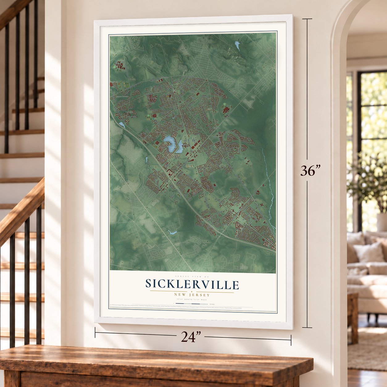
Explore Sicklerville, New Jersey from a whole new perspective. Created using aerial imagery and detailed geographic data, this map captures Sicklerville building by building, with labeled streets, familiar landmarks, and shaded topographical relief that highlights the natural contours of the landscape.
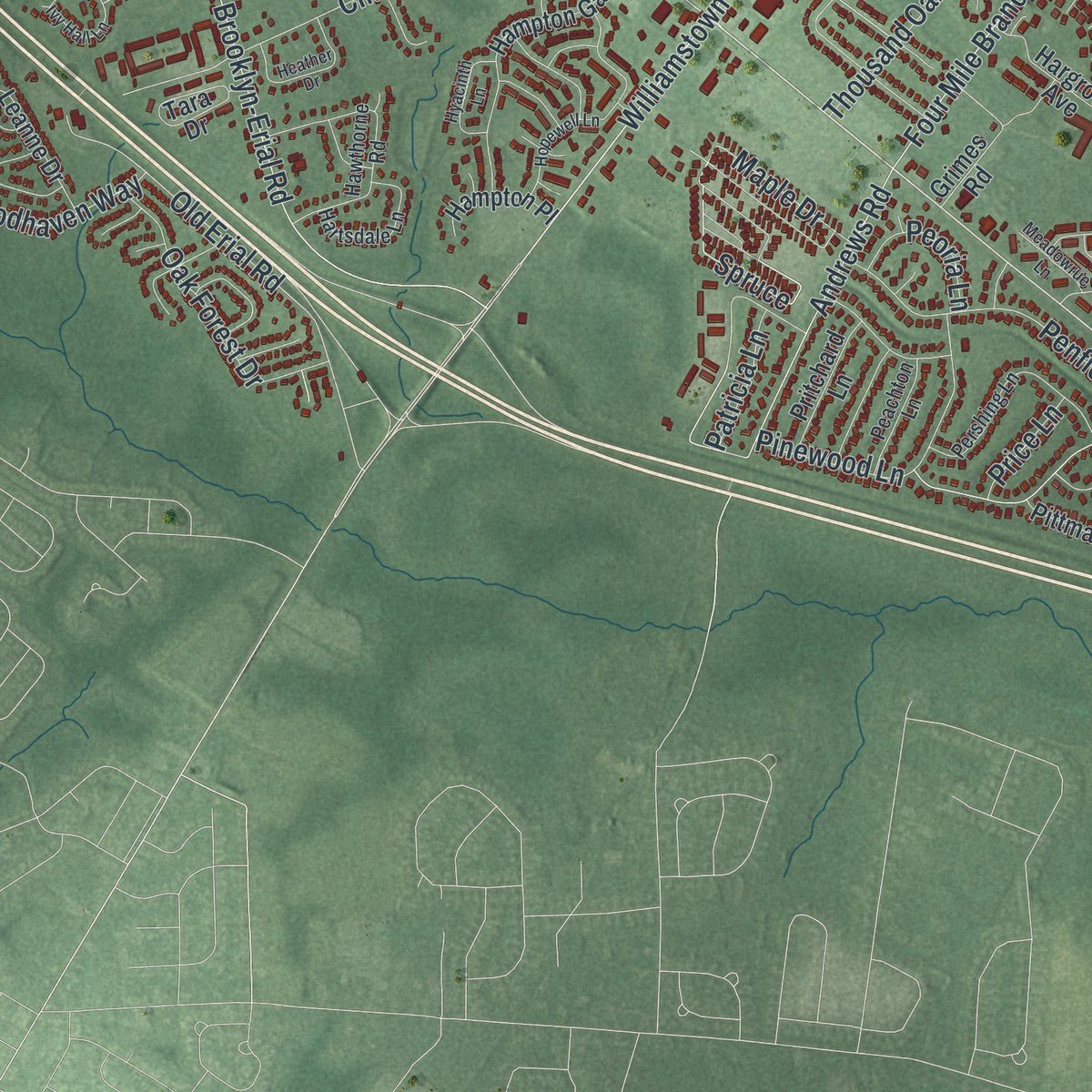
Combining modern data with the timeless character of a vintage atlas, this map is just as interesting up close as it is beautiful on the wall. Whether you grew up in Sicklerville, spent memorable years there, or call it home today, this unique map is a great way to celebrate a place that means something to you. Zoom in on the preview to look for your street, and then order a print to put your memories on the wall.
Three ways to hang it
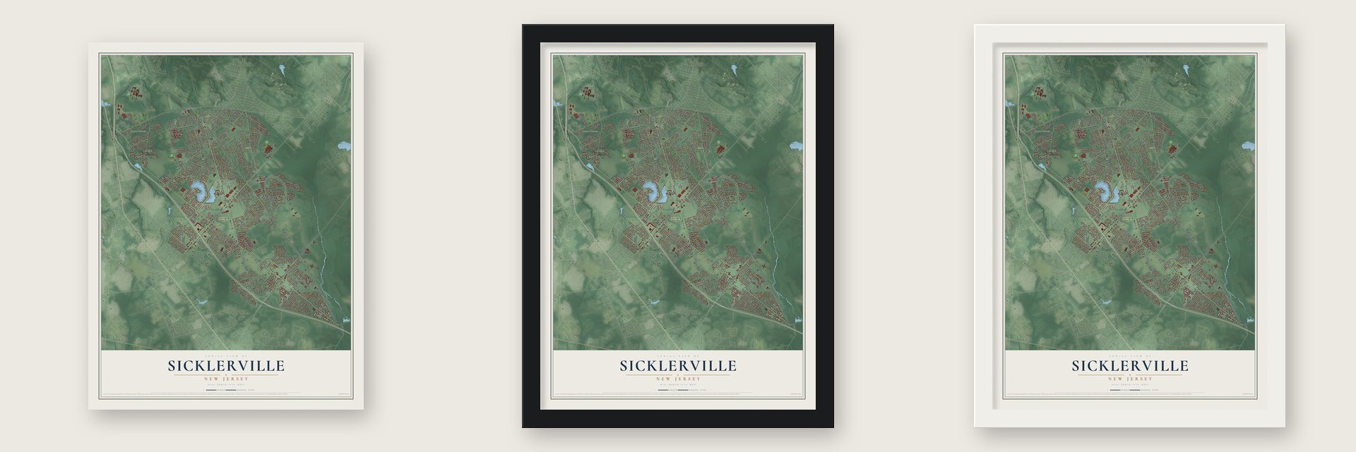
Unframed archival matte, a black wood frame or a white wood frame.
Up close
Geography Worth Displaying
This map was created using accurate cartographic data and authoritative geographic sources, including the U.S. Geological Survey (USGS) and FEMA. The map brings together terrain, waterways, roads, and building detail. The majority of the streets are labeled, houses are accurately depicted, and the topography is derived from government sources. Combining local data with carefully composed color and shading leads to this beautifully detailed Sicklerville artwork for your wall.
Rather than simply showing street outlines, we’ve included as many of the street names as we could reasonably fit on the map while keeping their names legible. Zoom in on the high resolution preview to see exactly what’s on the map. We truly set out to create a statement piece for anyone who loves Sicklerville. So whether it’s for you, or a gift for someone you love, we hope this map of Sicklerville brings back fond memories.
Explore the full map of Sicklerville, New Jersey and read about the local places it shows.

About Sicklerville, New Jersey
Sicklerville is a New Jersey community. The 2020 census counted 45,084 residents.
- 45,084 residentsThat was the community population recorded by the 2020 United States census.
- A local distinctionIt was founded in 1851 by John Sickler, who lived in the area when the present-day town was located within Gloucester Township.
Find your street
Names on the Sicklerville map
Every name below is printed on this map. Look for your street, your school, the park where you played, or the pond down the road.
Places and landmarks9
- Revere Run
- Lambs Terrace
- Frank Donio Memorial Park
- Andrews
- Bishop Wood
- Dicktown
- Erial
- Hickstown
- Terrestria
Streets and roads246
- Route 705
- Sicklerville Road
- New Brooklyn Erial Road
- Cross Keys Berlin Road
- Cross Keys Road
- Chews Landing Stown Road
- Millpond Street
- Annapolis Drive
- Vance Avenue
- Chews Landing Williamstown Road
- New Brooklyn Blackwood Road
- New Brooklyn Park Road
- Williamstown Road
- Williamstown Erial Road
- Hickstown Road
- Jarvis Road
- Turnerville Hickstown Road
- Erial Road
- Williamstown New Freedom Road
- Garwood Road
- Peter Cheeseman Road
- Mullen Drive
- Chews Landing Road
- Kearsley Road
- Orlando Drive
- Breckenridge Drive
- New Brooklyn-Erial Road
- Meeting House Drive
- Andrews Road
- Sickler Avenue
Show all 246 streets
- Arbor Meadow Drive
- Church Road
- Four Mile Branch Road
- Cedar Grove Drive
- Saint Moritz Drive
- Quiet Road
- Sturbridge Drive
- Aberdeen Drive
- Wilson Drive
- Johnson Road
- County House New Brooklyn Road
- Meeting House Circle
- Old Erial Road
- Larkspur Circle
- Wilby Road
- Scenic View Drive
- Shenandoah Drive
- Monticello Drive
- Prospect Avenue
- Turnerville Road
- Easton Drive
- Skyline Drive
- Erial Clementon Road
- Bryce's Court
- Rosalind Circle
- Winfield Road
- Prospect Road
- Jonquil Way
- Kali Road
- Hazeltop Drive
- Brearly Drive
- Plymouth Road
- Wildcat Branch Road
- Penfield Lane
- Huckleberry Avenue
- Shelly Street
- Morris Drive
- Pinewood Lane
- Girard Avenue
- Orr Road
- Oak Forest Drive
- Red Bank Drive
- Glen Burnie Drive
- Woodhaven Way
- Meetinghouse Circle
- Mayflower Drive
- Cross Hill Road
- Beaver Dam Drive
- Aberdale Lane
- Belleview Avenue
- Highland Avenue
- Essex Avenue
- Randolph Lane
- Thousand Oak Drive
- Spruce
- Patricia Lane
- Westerly Drive
- Morgan Street
- Carrie Place
- Little Mill Road
- Jerome Avenue
- Circle Drive
- Dunlin Way
- College Drive
- Elsworth Drive
- Nashua Drive
- Crawford Drive
- Lane of Acres
- Woodshire Drive
- Randolph Drive
- Maple Drive
- Ivy Lane
- Pine Street
- Liberty Place
- Peoria Lane
- Waterview Drive
- Zoe Lane
- Duke Drive
- Walnut Street
- Price Lane
- Porter Avenue
- Orth Avenue
- Spar Drive
- Erik Court
- Malaga Road
- Eastmont Lane
- Village Green Lane
- Raintree Drive
- Ciseley Drive
- Stone Hollow Drive
- Hampton Gate Drive
- Concord Boulevard
- Kelly Drive
- Drexel Gate Drive
- Freedom Way
- Covington Drive
- Annie Way
- Dover Lane
- Blue Stone Circle
- Pittman Lane
- Wagon Wheel Drive
- Tigerlily Lane
- Cedar Lane
- Innsbruck Drive
- Damon Drive
- Tara Drive
- Summer Lea Drive
- Chestertown Road
- Pondview Lane
- West Annapolis Drive
- Loretta Boulevard
- Lincoln Avenue
- Serene Lane
- Loch Lomond Drive
- Hargrove Avenue
- Blackwell Court
- Colts Neck Drive
- Ray Smith Road
- Jefferson Drive
- Morningstar Court
- Berwick Lane
- Cattell Drive
- Leanne Drive
- Pritchard Lane
- Sawood Drive
- Arborwood Lane
- Deer Run Drive
- Villanova Court
- Patriot Court
- Arlington Road
- Terrestria Lane
- Hampton Place
- Chrissy Way
- Jarvis Avenue
- Bromley Drive
- Edinshire Road
- Celia Street
- Danbury Drive
- Roosevelt Drive
- Britt Lea Drive
- Deb Lynn Drive
- Aspen Road
- Rhode Island Road
- Martin Lane
- York Terrace
- Firethorn Lane
- Aster Drive
- Bullock Way
- Hemlock Lane
- Grimes Road
- Pine Glen Drive
- Cherry Grove Lane
- Sherri Lane
- Elbow Lane
- Rose Court
- Kristian Drive
- Heath Court
- Felicia Court
- Kings Road
- Stowe Court
- Hampshire Road
- Kenwood Drive
- Hawthorne Road
- Jackson Lane
- Red Gravel Circle
- Pershing Lane
- Santalina Drive
- Maryellen Lane
- Mayapple Road
- Brantley Way
- Cayuga Way
- Greystone Lane
- Madison Lane
- Avella Lane
- Oak Hollow Lane
- Hartsdale Lane
- Gerry Lane
- Heritage Hill Drive
- Ainsworth Lane
- Dittess Lane
- Sayre Drive
- Peachton Lane
- Militia Hill Road
- Wye Mill Drive
- Peachtree Lane
- Elizabeth Place
- Del Sordo Drive
- Jerrys Court
- Carr Lane
- Mill Court
- Wiltons Corner Boulevard
- Presidential Drive
- Swift Run Drive
- Hopewell Lane
- Farmhouse Road
- Coachlight Drive
- Clubhouse Lane
- Alberta Avenue
- Berkshire Road
- Heather Drive
- Sheridan Drive
- Duchess Road
- Manor Hall Place
- Edgeview Lane
- Tailor Lane
- Del Sol Place
- Ivy Hall Lane
- Hyacinth Lane
- Debbie Place
- Zoe Road
- Freeway Drive
- Spring Hollow Drive
- Meadowrue Lane
- Marseille Place
- Parsons Court
- Carroll Court
Names are listed as they appear on the printed map. Zoom into the product photos to find them.
The art of mapping a place
How This Map Was Made
Real places. Remarkable detail. Discover the layers that turn geographic data into a map of home.

The view from above
Aerial imagery reveals the character of the land: woodland, open fields, and the patterns of a place.

The shape of the land
Elevation data brings hills, valleys, and subtle changes in the landscape into view.

The details of home
Roads, waterways, and building footprints come together to make the map feel unmistakably local.

Geography becomes art
Considered color, shading, and typography bring the layers together in a map made for your wall.


Process illustrated with Mendon, Massachusetts. Aerial imagery: USDA NAIP. Terrain: USGS 3D Elevation Program. Map details and finished artwork: KNOWOL.
The Details
About This Print
Choose an archival matte print, or a black or white Ayous wood frame. The archival matte print is unframed.
Select your size and finish above to see the matching product image and price.
Materials & Craftsmanship
A contemporary map with the character of a classic atlas, printed on archival matte paper. Optional frames are made from Ayous wood.
Your printed map does not include the watermark shown in the full-map preview.
Shipping & Delivery
Free shipping within the United States. Every print is made to order in the USA.
Buying a gift? Add a note in your cart and we'll include it. We never put prices in the package.
Prints ship within 2 to 3 business days. Allow 7 to 10 days total from ordering for delivery. Timing may vary during holidays or periods of high order volume.
Read our shipping policy.
Returns and damaged prints
Each print is made to order. Change-of-mind refunds are not available after production.
If your print arrives damaged, misprinted or incorrect, contact support@knowol.com within 30 days of receiving it. Include your order number, photos and a description of the issue.
Read our full refund and replacement policy. For questions about your order, email support@knowol.com.
Find your town
Looking for another city?
Find a map of home in our New Jersey collection, or any town in the country.
Nearby
Maps of towns near Sicklerville
Know someone from one of these towns? Their map makes a great gift.
 Pine Hill
, New Jersey
From $39.99See the map
 Turnersville
, New Jersey
From $39.99See the map
 Clementon
, New Jersey
From $39.99See the map
More maps nearby: Williamstown, Gloucester, Washington, Borough of Berlin and Grenloch.