
Search for another town




Free U.S. delivery 7 to 10 days after you order
Solomons, Maryland Map Art
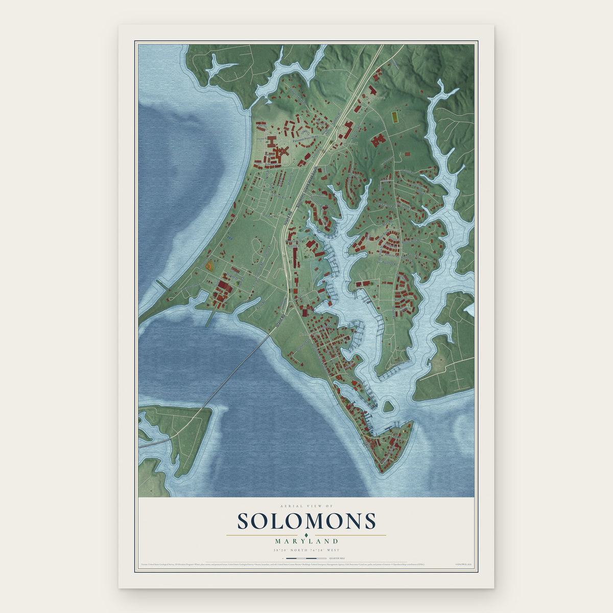
Building by building, with labeled streets and shaded relief.
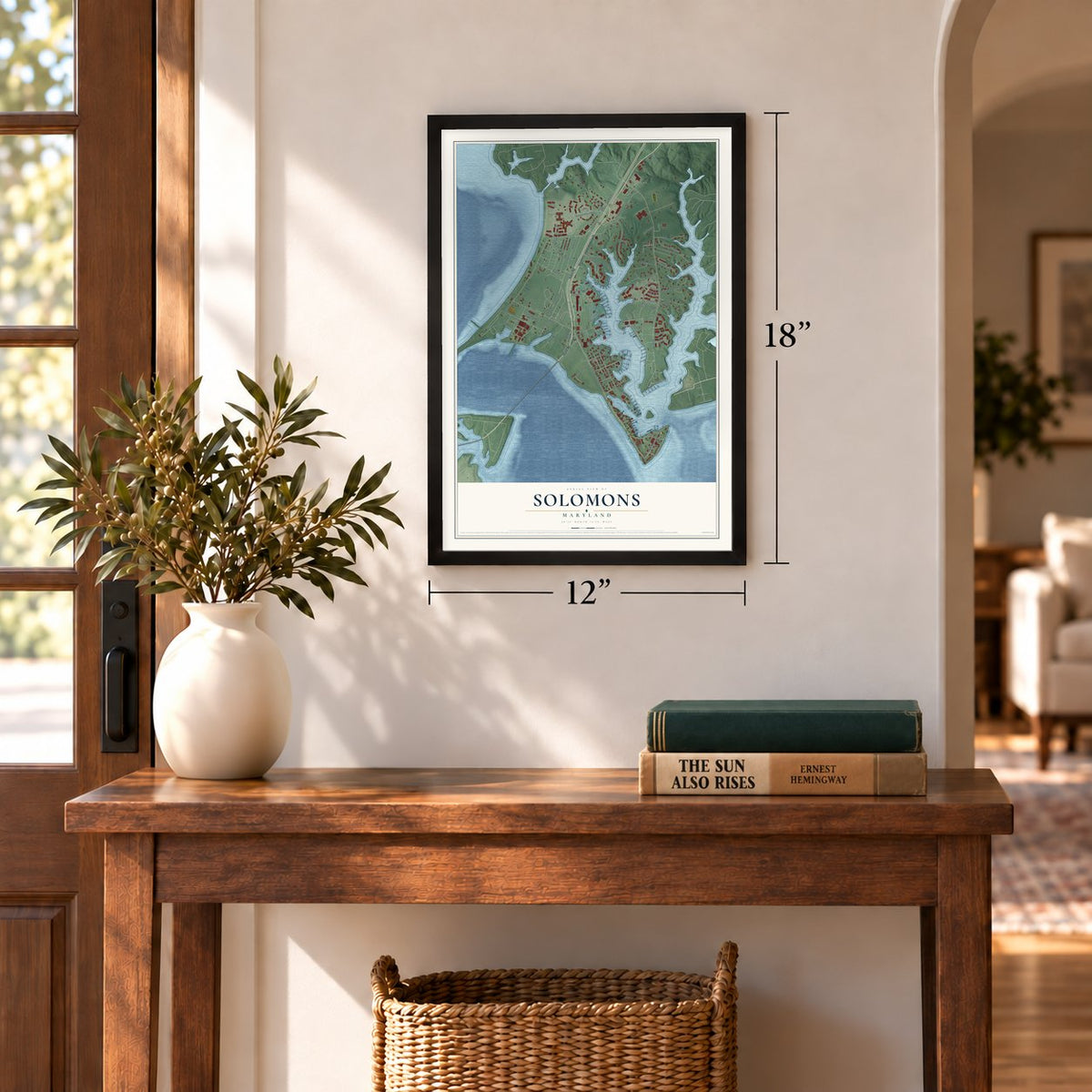
12" x 18" Archival Matte Print
A Map of Home. A Work of Art.
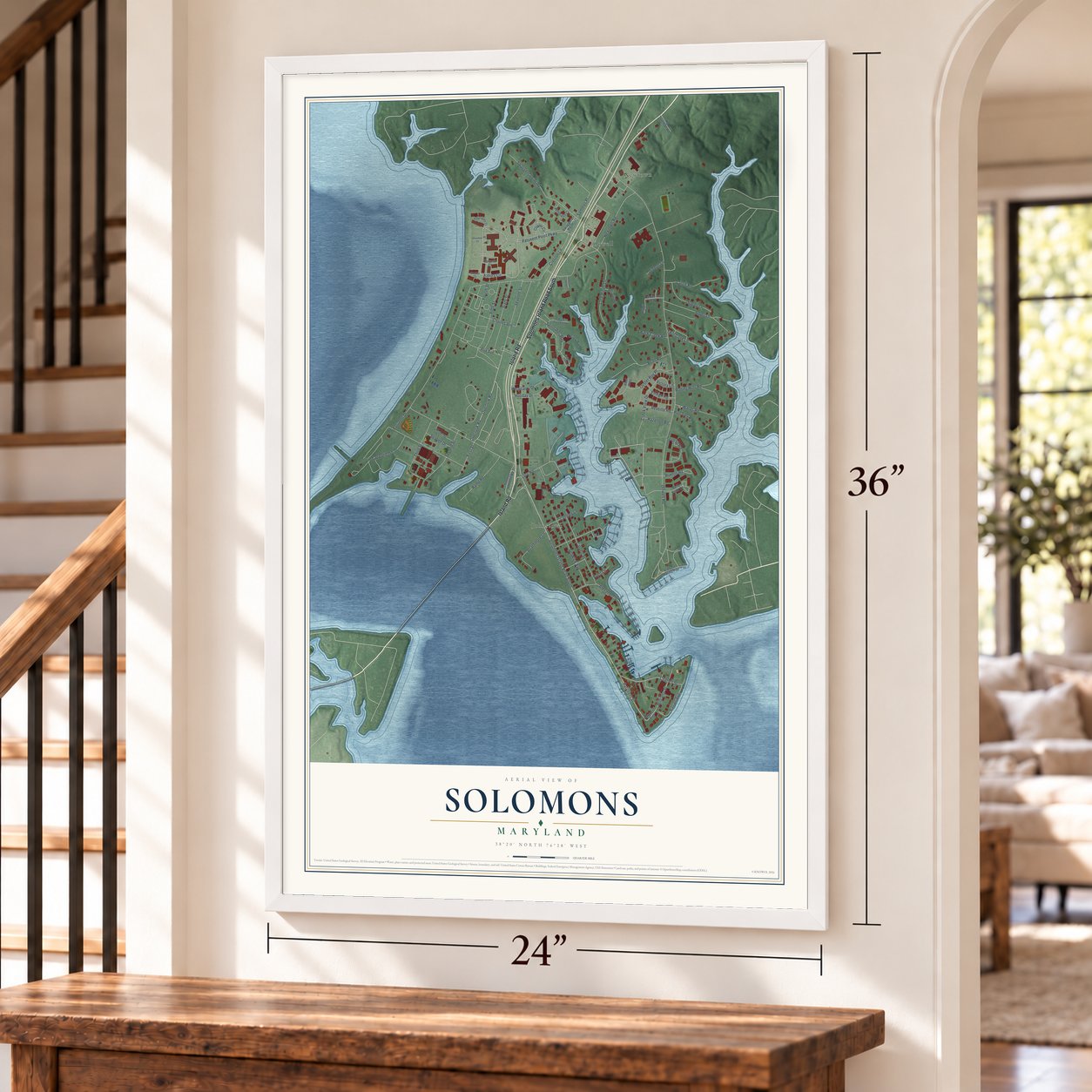
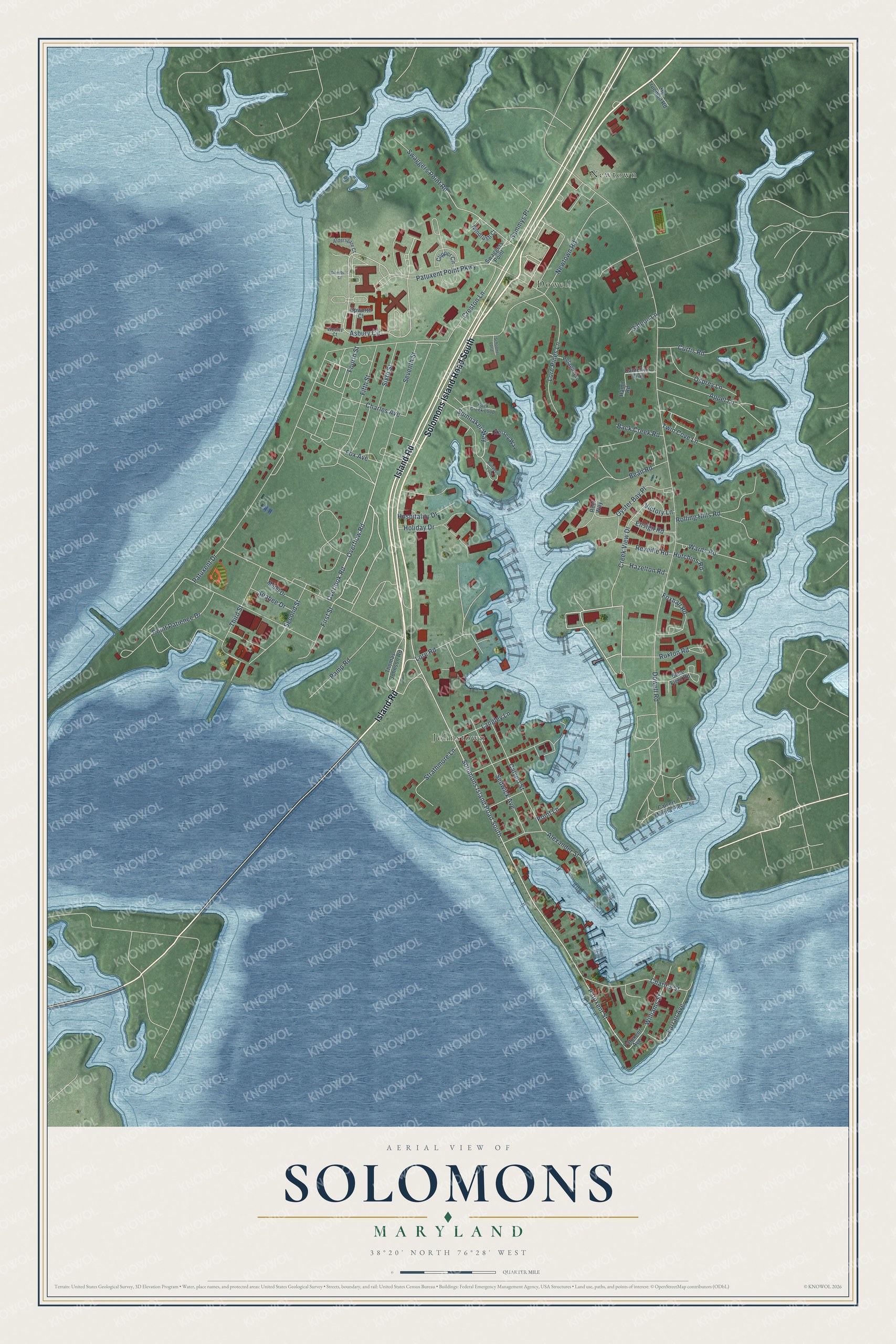
Explore Solomons, Maryland from a whole new perspective. Created using aerial imagery and detailed geographic data, this map captures Solomons building by building, with labeled streets, familiar landmarks, and shaded topographical relief that highlights the natural contours of the landscape.
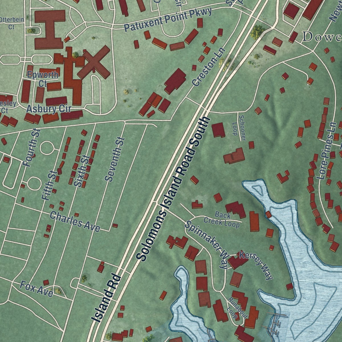
Combining modern data with the timeless character of a vintage atlas, this map is just as interesting up close as it is beautiful on the wall. Whether you grew up in Solomons, spent memorable years there, or call it home today, this unique map is a great way to celebrate a place that means something to you. Zoom in on the preview to look for your street, and then order a print to put your memories on the wall.
Three ways to hang it
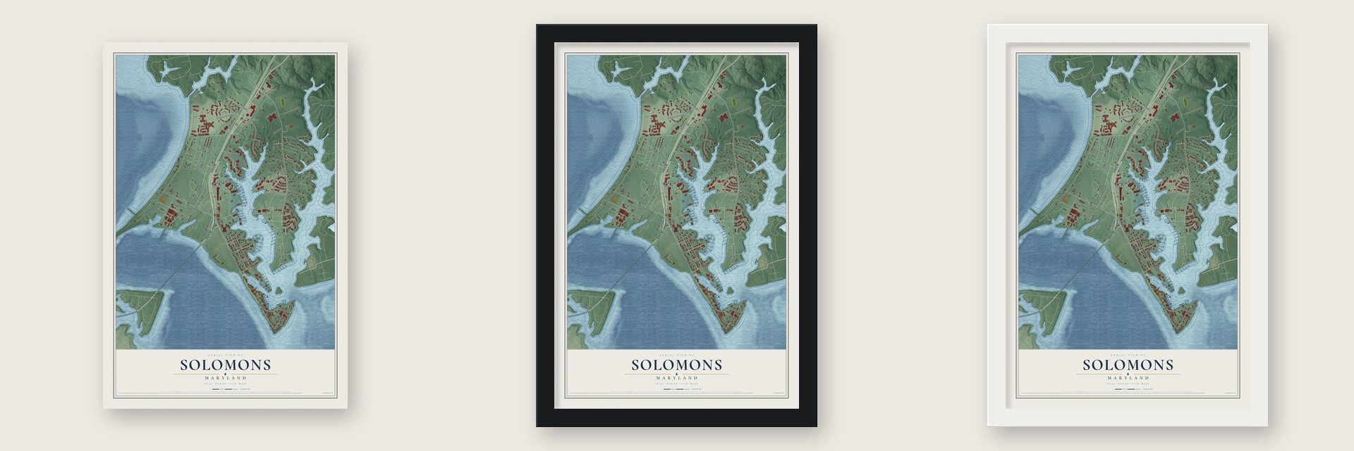
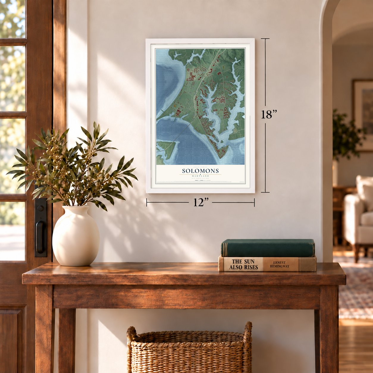
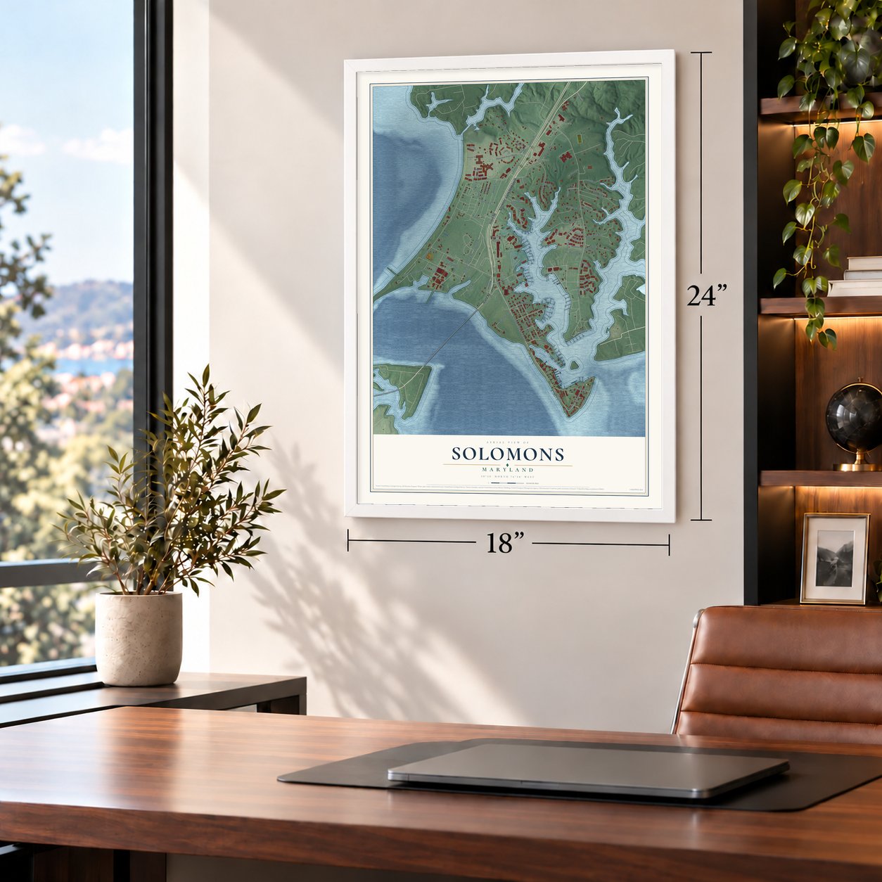
Unframed archival matte, a black wood frame or a white wood frame.
Up close
Geography Worth Displaying
This map was created using accurate cartographic data and authoritative geographic sources, including the U.S. Geological Survey and the Census Bureau. The map brings together terrain, waterways, roads, and building detail. The majority of the streets are labeled, houses are accurately depicted, and the topography is derived from government sources. Combining local data with carefully composed color and shading leads to this beautifully detailed Solomons artwork for your wall.
Rather than simply showing street outlines, we’ve included as many of the street names as we could reasonably fit on the map while keeping their names legible. Zoom in on the high resolution preview to see exactly what’s on the map. We truly set out to create a statement piece for anyone who loves Solomons. So whether it’s for you, or a gift for someone you love, we hope this map of Solomons brings back fond memories.
Read the story behind this map of Solomons, Maryland from 2026.

Find your street
Names on the Solomons map
Every name below is printed on this map. Look for your street, your school, the park where you played, or the pond down the road.
Places and landmarks3
- Dowell
- Johnstown
- Newtown
Streets and roads79
- Solomons Island Road South
- Island Road
- Overlook Road
- Overflow Road
- Patuxent Street
- Spinnaker Way
- Asbury Circle
- Swaggers Point Road
- Dowell Road
- Patuxent Drive
- Patuxent Point Parkway
- Newtown Road
- Oyster Bay Place
- Charles Avenue
- Lore Pines Lane
- Sedwick Avenue
- Creston Lane
- Fifth Street
- Seventh Street
- Calvert Street
- Appel Lane
- Alexander Street
- Creek View Drive
- Bean Road
- Charles Street
- Point Patience Drive
- Rolling Hills Road
- Fourth Street
- Ramp Road
- Curtis Road
Show all 79 streets
- Second Street
- Fox Avenue
- Osprey Lane
- Holiday Drive
- Third Street
- Foxhall Road
- Farran Avenue
- Wards Road
- Sammys Place
- Williams Street
- Ruxton Road
- First Street
- Sixth Street
- Twin Cove Lane
- Langley Lane
- Hospitality Drive
- Strathmore Lane
- Lore Road
- Reveille Road
- Seabee Drive
- Back Creek Road
- Hazelton Road
- Ensign Road
- Hutchins Road
- Gideon Lane
- Point Lane
- Victory Lane
- Thomas Johnson Road
- Patuxent Avenue
- Swaggers Point
- Motel Drive
- Calvert Marina Pier
- Clipper Circle
- Windrush Court
- Epworth Court
- Kersey Way
- Belle Field Road
- Pelagic Lane
- Danielle's Way
- Hg Trueman Road
- Hamit Road
- Reef Way
- Back Creek Loop
- Aldersgate Court
- Wesley Court
- Pier 66
- Runabout Loop
- Otterbein Court
- Schooner Loop
Names are listed as they appear on the printed map. Zoom into the product photos to find them.
About Solomons, Maryland
Solomons is a community of 2,650 people in Calvert County, where the Patuxent River empties into the Chesapeake Bay. The island was called Bourne's Island in 1680 and Somervell's Island in 1740. It went by Sandy Island when Isaac Solomon, a Baltimore cannery owner, bought it in 1866 and began canning oysters on it.
Houses and shops quickly gathered around the cannery, and a post office named Solomon's Island opened in 1870. Shipyards followed to serve the fishing fleet, and by the 1880s several hundred boats, all built and kept up locally, worked out of its harbor. Solomon's own house is still standing at the front of the island.
- Barney's flotilla sailed hereDuring the War of 1812, Commodore Joshua Barney led his flotilla out of this deep, sheltered harbor to strike at British ships on the Chesapeake Bay. In 1920 the German ocean liner Kronprinzessin Cecilie was laid up here. It had been built in 1906, and the United States had seized it during World War I and renamed it Mount Vernon.
- Famous for bugeyesSchooners and sloops came out of the Marsh Shipyard, but it won its fame with bugeyes, the Chesapeake Bay boat that came before the skipjack. The Wm. B. Tennison, a bugeye of that kind, is listed on the National Register.
- From 263 to over 2,600In World War II the Allied command picked Solomons for an amphibious training base. A Navy mine warfare test station came too, and the Patuxent Naval Air Station opened nearby. From 1942 to 1945 the population jumped from 263 to over 2,600, and more than 60,000 troops trained here, using its lessons on D-Day, at Tarawa and at Guadalcanal. Many were later sent to the Pacific's Solomon Islands. The yacht club served as the USO club.
- A bridge in 1977For years Solomons stayed an isolated boat-building town, home to the Chesapeake Biological Laboratory of the University of Maryland. That changed in 1977, when the Governor Thomas Johnson Bridge opened, linking the island area with St. Mary's County and the naval air station across the river.
- An arts festival since 1993Annmarie Garden, a Smithsonian-affiliated sculpture park in the woods of Solomons, shows work by Kenneth Snelson, George Rickey, Arnaldo Pomodoro and other sculptors. Since 1993 it has held a national juried arts festival, where around 100 traveling artists set up tents for a weekend to sell their work.
Keep exploring Maryland
Solomons is one of 881 Maryland towns we've mapped. Every dot on the map is a print of its own.
The search covers every state, Maryland first.
Near Solomons
Order 2 or more town maps and save 10%. Shown in the size and finish you picked above, so they hang as a set.
- Drum Point 12" x 18" / Archival Matte Print $39.99
- Lusby 12" x 18" / Archival Matte Print $39.99
- Chesapeake Ranch Estates 12" x 18" / Archival Matte Print $39.99
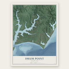
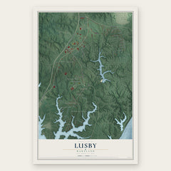
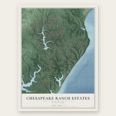
More maps nearby: California, Wildewood, Lexington Park, Hollywood and Broomes Island.
The art of mapping a place
How This Map Was Made
Real places. Remarkable detail. Discover the layers that turn geographic data into a map of home.

The view from above
Aerial imagery reveals the character of the land: woodland, open fields, and the patterns of a place.

The shape of the land
Elevation data brings hills, valleys, and subtle changes in the landscape into view.

The details of home
Roads, waterways, and building footprints come together to make the map feel unmistakably local.

Geography becomes art
Considered color, shading, and typography bring the layers together in a map made for your wall.


Process illustrated with Mendon, Massachusetts. Aerial imagery: USDA NAIP. Terrain: USGS 3D Elevation Program. Map details and finished artwork: KNOWOL.
The Details
About This Print
Choose an archival matte print, or a black or white Ayous wood frame. The archival matte print is unframed.
Select your size and finish above to see the matching product image and price.
Materials & Craftsmanship
A contemporary map with the character of a classic atlas, printed on archival matte paper. Optional frames are made from Ayous wood.
Your printed map does not include the watermark shown in the full-map preview.
Shipping & Delivery
Free shipping within the United States. Every print is made to order in the USA.
Buying a gift? Add a note in your cart and we'll include it. We never put prices in the package.
Prints ship within 2 to 3 business days. Allow 7 to 10 days total from ordering for delivery. Timing may vary during holidays or periods of high order volume.
Read our shipping policy.
Returns and damaged prints
Each print is made to order. Change-of-mind refunds are not available after production.
If your print arrives damaged, misprinted or incorrect, contact support@knowol.com within 30 days of receiving it. Include your order number, photos and a description of the issue.
Read our full refund and replacement policy. For questions about your order, email support@knowol.com.