
Search for another town
Free U.S. delivery 7 to 10 days after you order
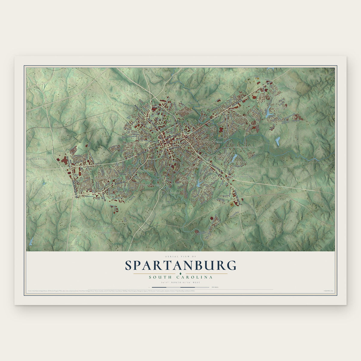
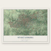
Spartanburg, South Carolina Map Art
Building by building, with labeled streets and shaded relief.
12" x 18" Archival Matte Print
A Map of Home. A Work of Art.
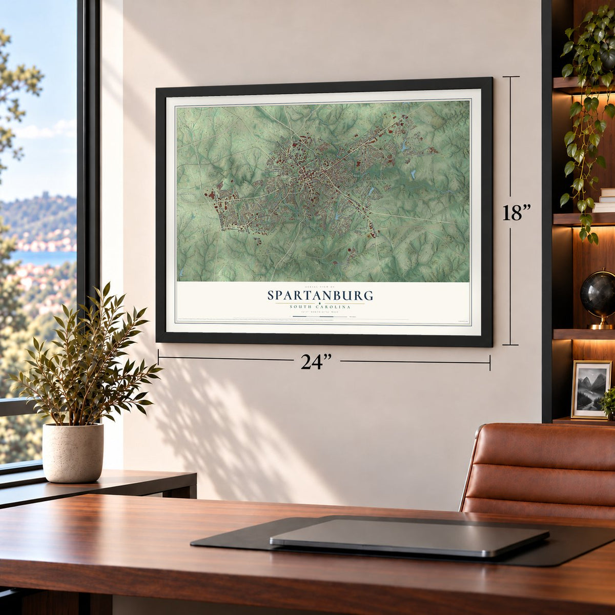
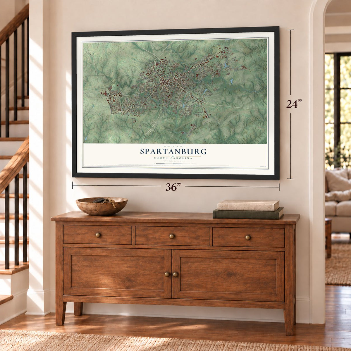
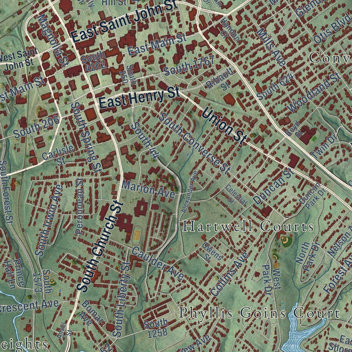
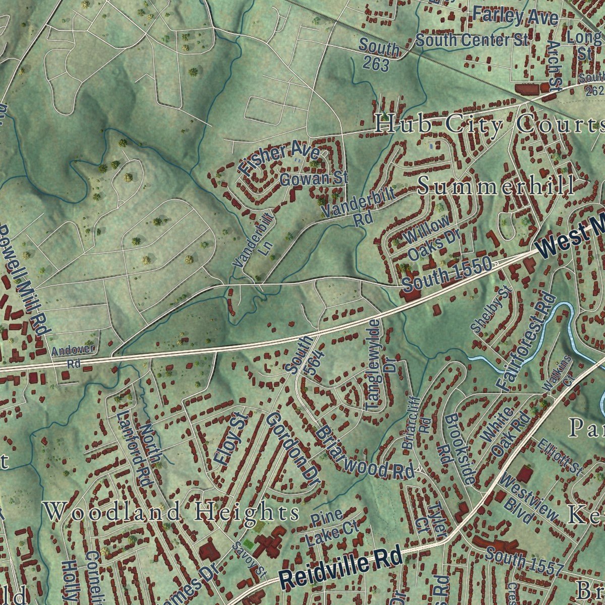
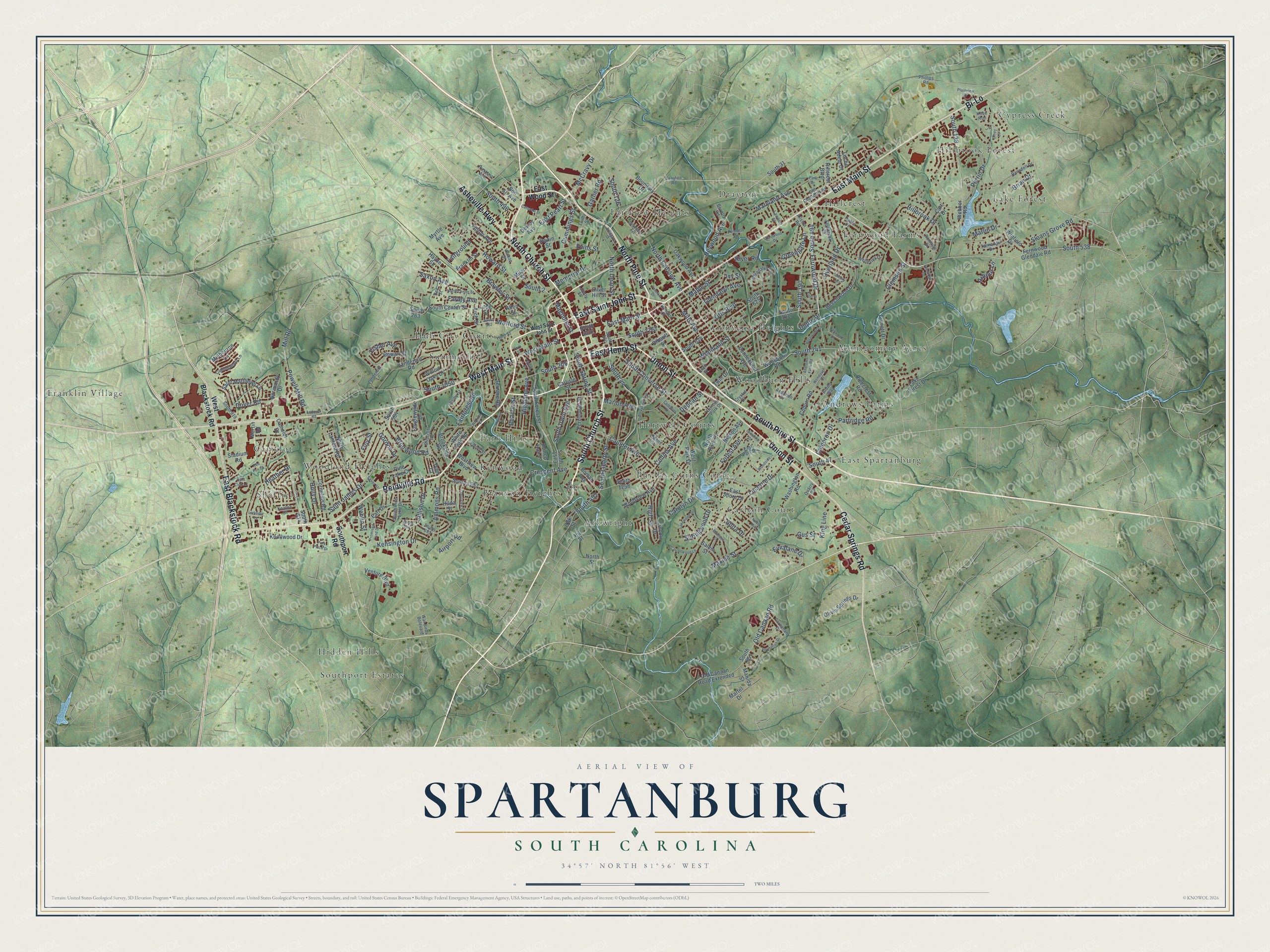
Explore Spartanburg, South Carolina from a whole new perspective. Created using aerial imagery and detailed geographic data, this map captures Spartanburg building by building, with labeled streets, familiar landmarks, and shaded topographical relief that highlights the natural contours of the landscape.
Combining modern data with the timeless character of a vintage atlas, this map is just as interesting up close as it is beautiful on the wall. Whether you grew up in Spartanburg, spent memorable years there, or call it home today, this unique map is a great way to celebrate a place that means something to you. Zoom in on the preview to look for your street, and then order a print to put your memories on the wall.
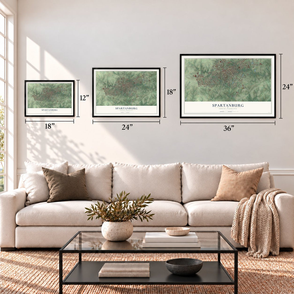
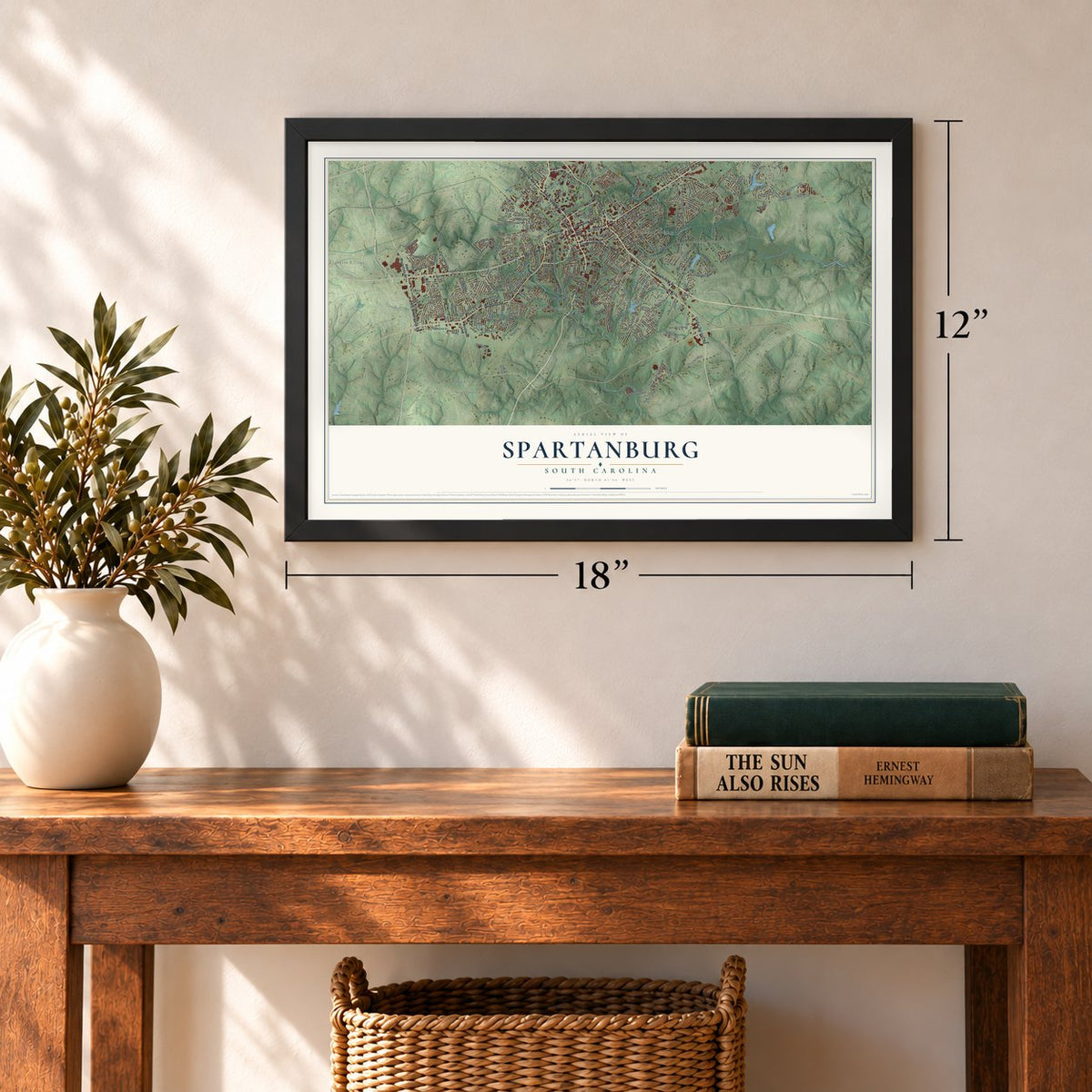
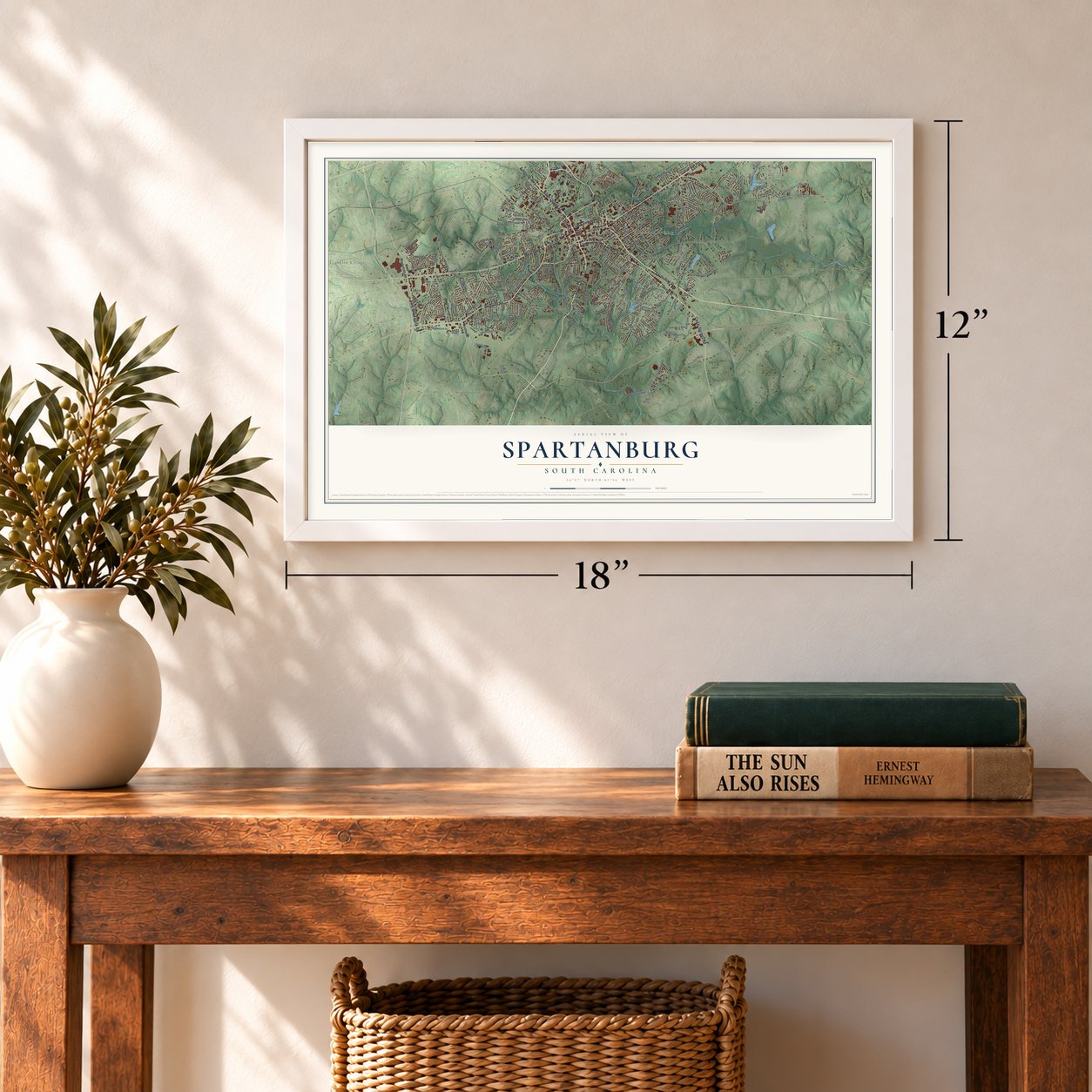
Three ways to hang it
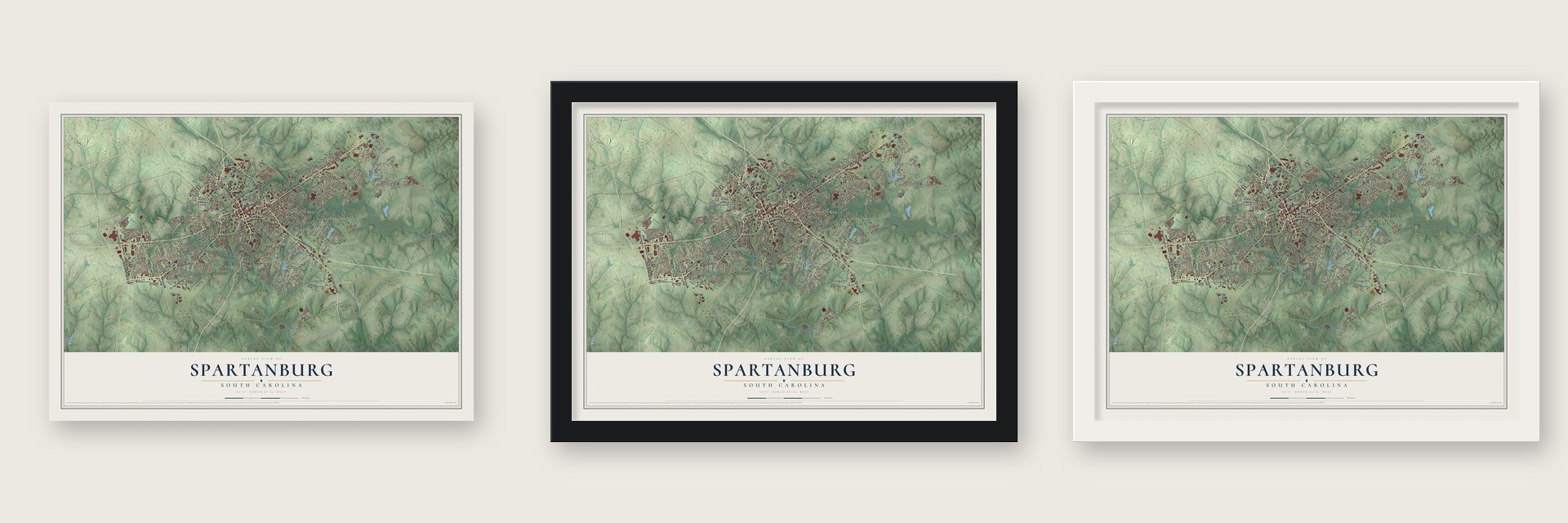
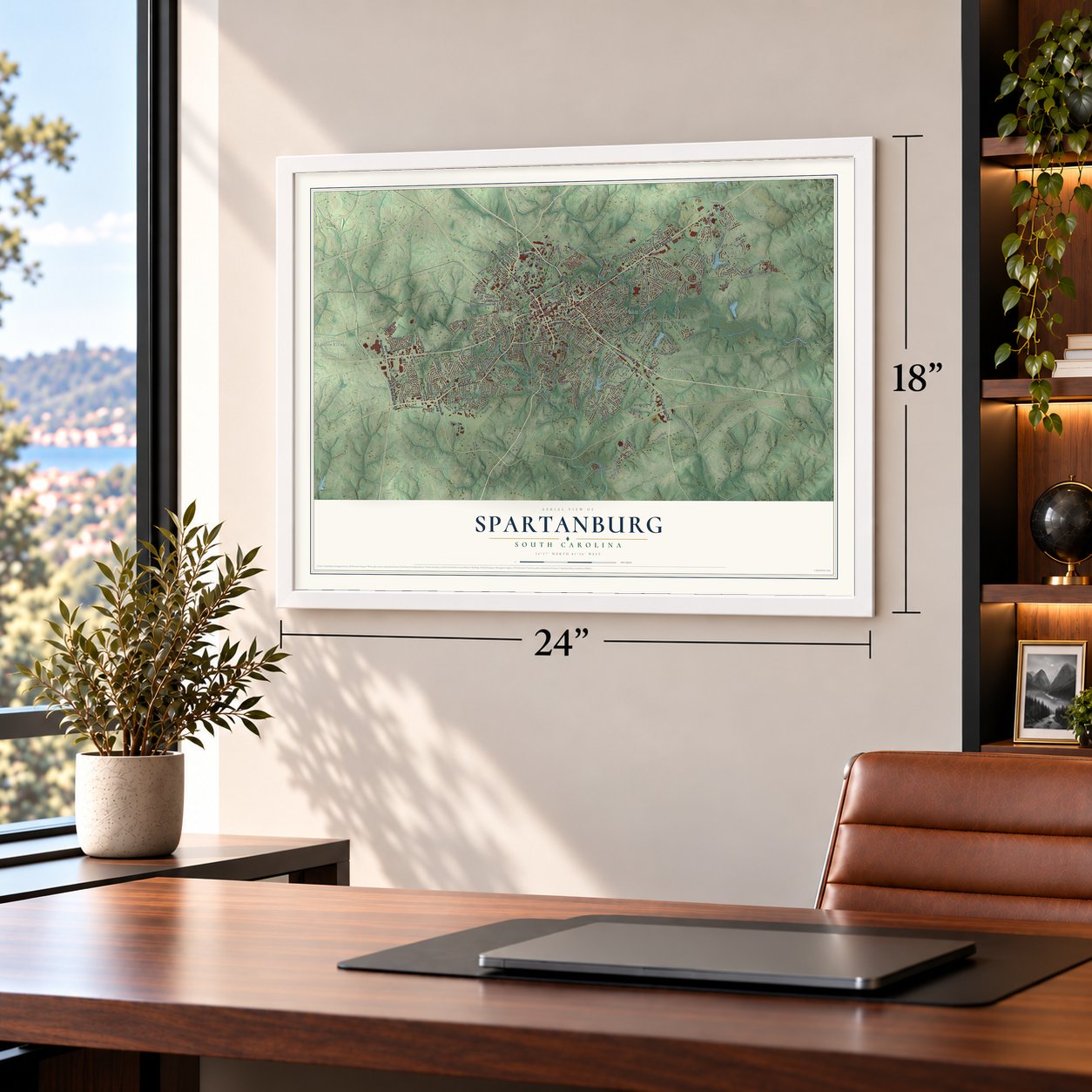
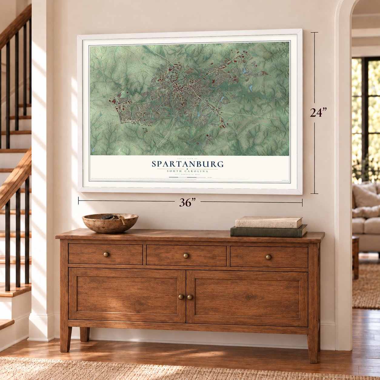
Unframed archival matte, a black wood frame or a white wood frame.
Up close
Geography Worth Displaying
This map was created using accurate cartographic data and authoritative geographic sources, including the U.S. Geological Survey and the Census Bureau. The map brings together terrain, waterways, roads, and building detail. The majority of the streets are labeled, houses are accurately depicted, and the topography is derived from government sources. Combining local data with carefully composed color and shading leads to this beautifully detailed Spartanburg artwork for your wall.
Rather than simply showing street outlines, we’ve included as many of the street names as we could reasonably fit on the map while keeping their names legible. Zoom in on the high resolution preview to see exactly what’s on the map. We truly set out to create a statement piece for anyone who loves Spartanburg. So whether it’s for you, or a gift for someone you love, we hope this map of Spartanburg brings back fond memories.
Read the story behind this map of Spartanburg, South Carolina from 2026.
Find your street
Names on the Spartanburg map
Every name below is printed on this map. Look for your street, your school, the park where you played, or the pond down the road.
Places and landmarks27
- Andrews Farms
- Arkwright
- Branyon Heights
- Camelot
- Carlton Court
- Converse Heights
- Cypress Creek
- Drayton
- East Spartanburg
- Fairview Heights
- Fernwood Farms
- Franklin Village
Show all 27 places
- Hartwell Courts
- Hidden Hills
- Hillbrook Forest
- Hillcrest
- Hub City Courts
- Kenwood
- Lake Forest
- Montgomery Acres
- Park Hills
- Phyllis Goins Court
- Sheffield
- Southport Estates
- Summerhill
- Woodburn Hills
- Woodland Heights
Streets and roads273
- East Main Street
- North Church Street
- South Church Street
- East Saint John Street
- Asheville Highway
- West Main Street
- South Pine Street
- North Pine Street
- East Henry Street
- Reidville Road
- East Blackstock Road
- Union Street
- Bi-Lo
- Cedar Springs Road
- South 44
- South 538
- South 1550
- South 47
- Fernwood Drive
- South 494
- South 241
- South Converse Street
- South 126
- East Pearl Street
- South Irwin Avenue
- South 206
- Magnolia Street
- Heywood Avenue
- Mills Avenue
- Old Canaan Road
Show all 273 streets
- South 138
- Highland Avenue
- Anita Drive
- Fairforest Road
- Fisher Avenue
- Wofford Street
- Lucerne Drive
- Crescent Avenue
- Dupre Drive
- South 390
- Otis Boulevard
- South 1767
- Collins Avenue
- Briarwood Road
- Caulder Avenue
- Evins Street
- South Liberty Street
- Howard Street
- South 2
- Holly Drive
- Hillbrook Drive
- Maryland Avenue
- Glendalyn Avenue
- Partridge Road
- Marion Avenue
- Saint James Drive
- Cummings Street
- Farley Avenue
- Kensington Drive
- Forest Avenue
- Greengate Lane
- Powell Mill Road
- Duncan Street
- South Spring Street
- North Fairview Avenue
- Airport Road
- Brian Drive
- McCravy Drive
- Heather Drive
- Ammons Road
- South 452
- Overland Drive
- Carolyn Drive
- Gordon Drive
- Mill Road
- Brawley Street
- High Street
- Dover Road
- Sloans Grove Road
- North Dean Street
- Perrin Drive
- Allison Drive
- Garner Road
- Maxine Street
- Springwood Drive
- Saxon Avenue
- Maple Street
- River Road
- Memorial Drive
- Woodland Street
- Marlin Drive
- South 496
- Evvalane Drive
- King Line
- Cameron Drive
- Beacon Street
- Ivy Street
- Clemson Street
- Fairground
- Gus Street
- Arbour Lane
- Weblin Street
- Floy Street
- East Wood Street
- Southport Road
- West Blackstock Road
- Fernwood Glendale Road
- South 4202
- Boundary Drive
- Matilda Street
- Washington Road
- Woodburn Road
- Old Canaan Road Extended
- West Park Drive
- South 31
- Brookside Road
- Webber Road
- South Forest Street
- Camelot Drive
- South 814
- South 1557
- South 1258
- South 564
- Beechwood Drive
- Connecticut Avenue
- South 1017
- South 625
- Vanderbilt Road
- North Park Drive
- Winfield Drive
- Saint Matthews Lane
- South 624
- South 1573
- North Lanford Road
- Franklin Street
- Pinecrest Road
- South 651
- Cornelius Road
- Arch Street
- South Center Street
- Martin Road
- South 263
- Hillcrest Boulevard
- Lincoln Drive
- Burnett Drive
- Silver Hill Street
- Tanglewylde Drive
- Woodview Avenue
- Willow Oaks Drive
- Olivia Springs Drive
- Venture Boulevard
- Carlisle Street
- Terrace Road
- Gowan Street
- Fulton Avenue
- Cart Drive
- Oakwood Avenue
- Bomar Avenue
- Coburn Road
- Twin Drive
- Peronneau Street
- White Oak Road
- Knollwood Drive
- East Shore Drive
- Westview Boulevard
- Earl Drive
- Melbourne Lane
- Prince Hall Lane
- Nelson Avenue
- Salem Street
- Dewey Avenue
- Normandy Drive
- Loche Adele Drive
- Bon Air Avenue
- Oak Street
- Hilda Street
- Stadium Road
- Tyler Court
- Myrtle Avenue
- Lake Forest Drive
- Pine Lake Court
- Martel Drive
- Ribault Street
- Hayne Street
- Long Street
- North Street
- Milan Street
- Hill Street
- Swain Street
- Allen Street
- Drayton Road
- South 250
- Old Charlotte Road
- Glendalyn Circle
- East Park Drive
- Vanderbilt Lane
- Fernbrook Circle
- Briarcliff Road
- South Pine Lake Drive
- South 693
- Collingwood Lane
- Pierpont Avenue
- Crystal Drive
- Boyd Street
- Liberty Street
- Audubon Drive
- South 819
- Romaine Drive
- Ransdell Drive
- Hunt Street
- Vernon Street
- Pennell Drive
- Allston Road
- Wellesley Drive
- Talmadge Drive
- Duncan Park Drive
- Carnahan Drive
- Gable Court
- Lawson Street
- Elliott Street
- Beverly Road
- War Birds Bolevard
- Shelby Street
- Quarry Road
- Twitty Street
- Owens Street
- Hannon Court
- Bee Street
- Phillips Road
- Keaton Court
- Arden Way
- Knee Run
- West Saint John Street
- Beaumont Avenue
- Lakewood Drive
- South 262
- Alexander Avenue
- Crestview Drive
- Andrews Farm Road
- Park Place Drive
- Park Drive
- Eastwood Drive
- Emory Road
- Imperial Drive
- South 694
- Hunt Club Lane
- Peterkin Drive
- Savoy Street
- Plainview Drive
- Woodside Lane
- North Center Street
- Maulden Street
- Vermillian Drive
- Rosewood Lane
- Fernridge Drive
- Neely Avenue
- Carrollwood Lane
- Catawba Street
- Arlington Street
- Bellwood Lane
- Lansdale Drive
- Wendover Court
- Promised Land Drive
- York Street
- Andover Road
- Celestial Street
- Larkspur Lane
- Druid Street
- Kent Place
- Watkins Court
- Red Fox Court
- Ansel Street
- Olney Lane
Names are listed as they appear on the printed map. Zoom into the product photos to find them.
About Spartanburg, South Carolina
Spartanburg is a city of 38,732 people and the seat of Spartanburg County, in the Upstate of South Carolina. It began in the 1780s as a courthouse village beside a small spring, on a ridge that divides the Tyger and Pacolet river basins, and the county was organized in 1785. The name most likely honors the Spartan Regiment, a local militia that fought at the Battle of Cowpens a few miles away.
The town was incorporated in 1831, the 50th anniversary of that battle. Railroad lines later spread out from it like the spokes of a wheel, so people called it the Hub City. Cotton mills came next, and around 40 of them were built through the early 1900s. By the 1950s rising wages had begun to slow the mills, and most of the textile jobs later moved overseas.
- Morgan Square since 1881The downtown square grew from the first courthouse village and takes its name from Daniel Morgan, the general who led the American side at Cowpens. His statue went up in the square in 1881, and the Daniel Morgan Monument joined the National Register in 1980. The oldest buildings still standing on the square date to the 1880s.
- The Lowell of the SouthCotton mills have run in the Spartanburg area since 1816, though there were few before the Civil War. After the war, new machines, money from the North and workers leaving poor farms brought a wave of new mills. Local streams drop sharply on their way toward the Midlands, and the mills were built along them to use that waterpower.
- 100,000 soldiers at Camp WadsworthCamp Wadsworth prepared 100,000 soldiers for World War I. A generation later, Camp Croft did the same job in World War II. The state later took over Camp Croft and turned it into Croft State Park.
- Airmail in 1928, radio in 1930In 1928 the first airplane to carry mail to South Carolina landed in Spartanburg. Two years later, in 1930, WSPA began broadcasting here as the state's first commercial radio station.
Keep exploring South Carolina
Spartanburg is one of 540 South Carolina towns we've mapped. Every dot on the map is a print of its own.
The search covers every state, South Carolina first.
Near Spartanburg
Order 2 or more town maps and save 10%. Shown in the size and finish you picked above, so they hang as a set.
- Arkwright 12" x 18" / Archival Matte Print $39.99
- Drayton 12" x 18" / Archival Matte Print $39.99
- Whitney 12" x 18" / Archival Matte Print $39.99

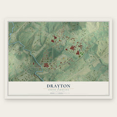
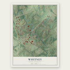
More maps nearby: Saxon, Hilltop, Ben Avon, Arcadia and West View.
The art of mapping a place
How This Map Was Made
Real places. Remarkable detail. Discover the layers that turn geographic data into a map of home.

The view from above
Aerial imagery reveals the character of the land: woodland, open fields, and the patterns of a place.

The shape of the land
Elevation data brings hills, valleys, and subtle changes in the landscape into view.

The details of home
Roads, waterways, and building footprints come together to make the map feel unmistakably local.

Geography becomes art
Considered color, shading, and typography bring the layers together in a map made for your wall.


Process illustrated with Mendon, Massachusetts. Aerial imagery: USDA NAIP. Terrain: USGS 3D Elevation Program. Map details and finished artwork: KNOWOL.
The Details
About This Print
Choose an archival matte print, or a black or white Ayous wood frame. The archival matte print is unframed.
Select your size and finish above to see the matching product image and price.
Materials & Craftsmanship
A contemporary map with the character of a classic atlas, printed on archival matte paper. Optional frames are made from Ayous wood.
Your printed map does not include the watermark shown in the full-map preview.
Shipping & Delivery
Free shipping within the United States. Every print is made to order in the USA.
Buying a gift? Add a note in your cart and we'll include it. We never put prices in the package.
Prints ship within 2 to 3 business days. Allow 7 to 10 days total from ordering for delivery. Timing may vary during holidays or periods of high order volume.
Read our shipping policy.
Returns and damaged prints
Each print is made to order. Change-of-mind refunds are not available after production.
If your print arrives damaged, misprinted or incorrect, contact support@knowol.com within 30 days of receiving it. Include your order number, photos and a description of the issue.
Read our full refund and replacement policy. For questions about your order, email support@knowol.com.