
Search for another town
Free U.S. delivery 7 to 10 days after you order
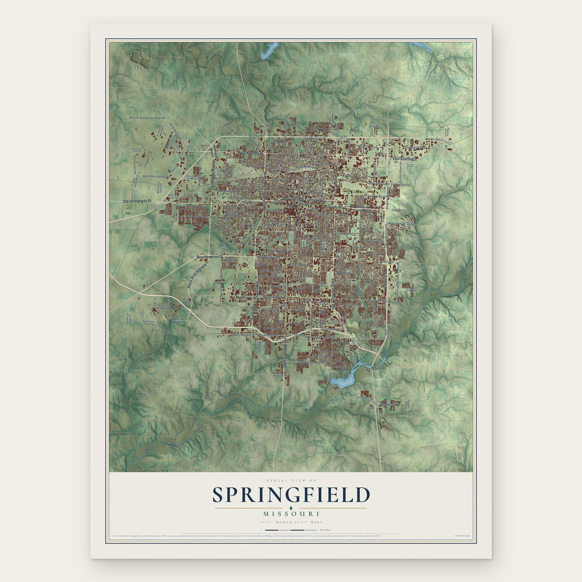
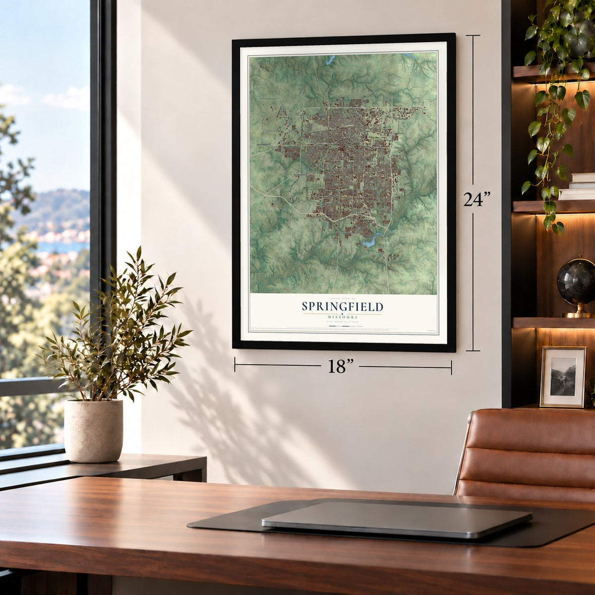
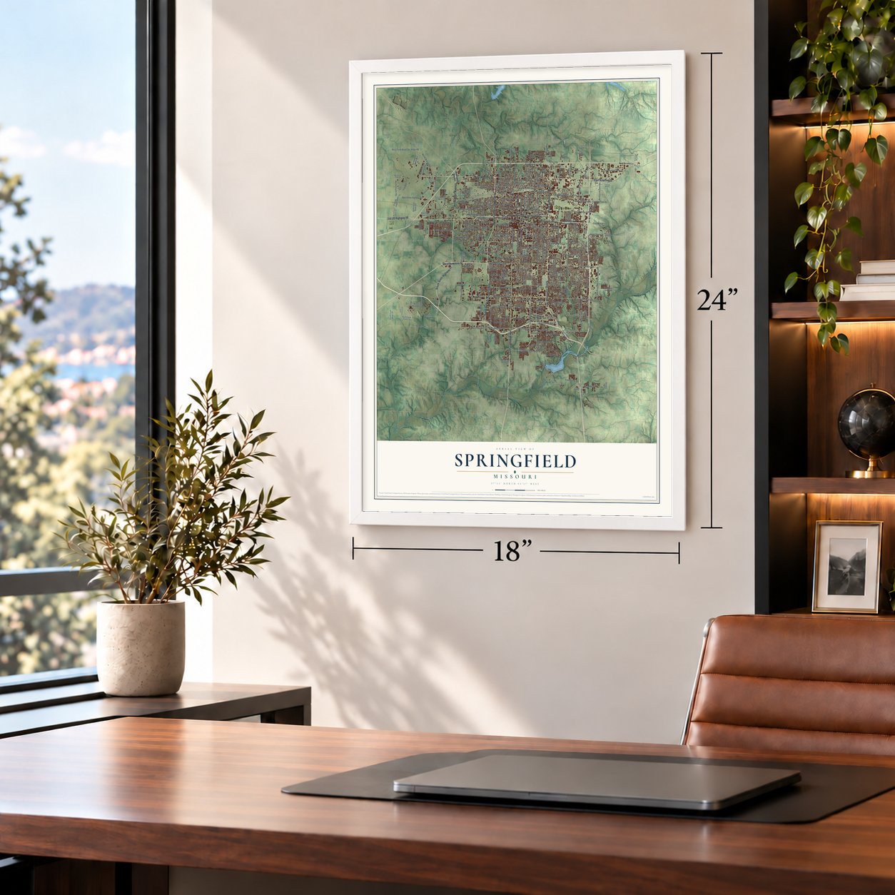
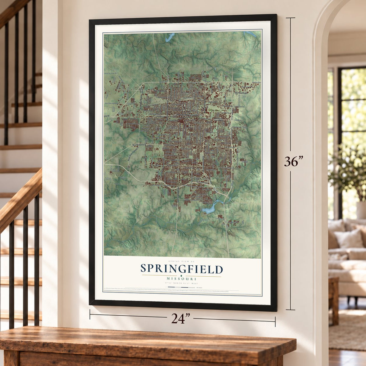
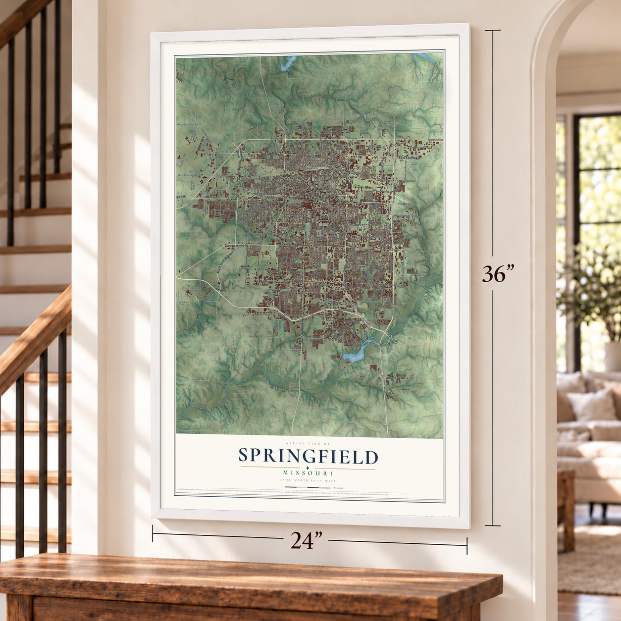
Springfield, Missouri Map Art
Building by building, with labeled streets and shaded relief.
12" x 18" Archival Matte Print
A Map of Home. A Work of Art.
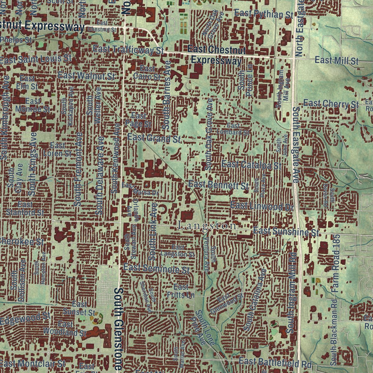
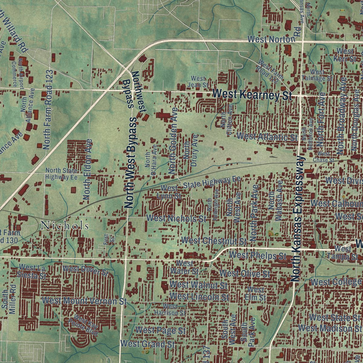
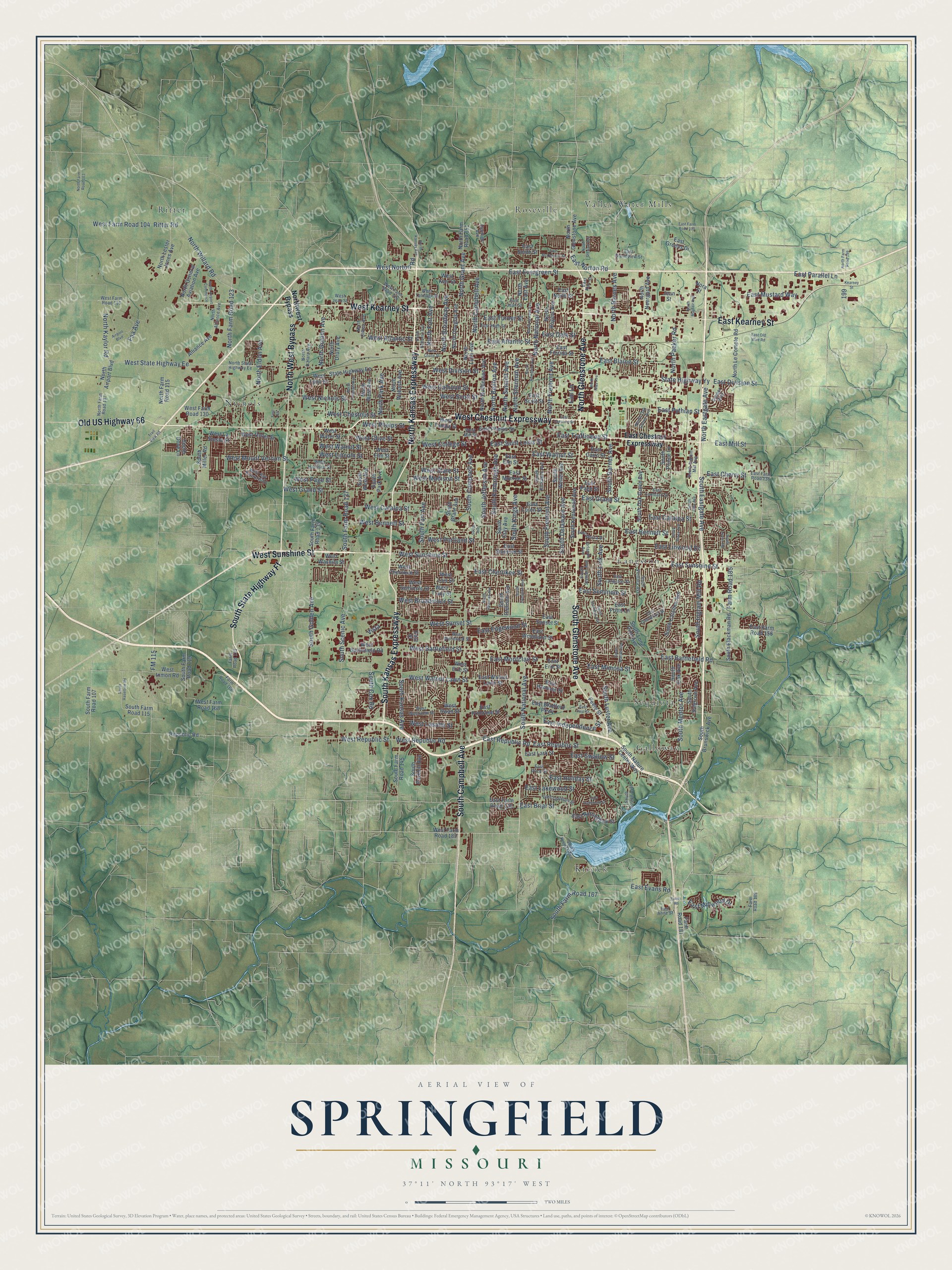
Explore Springfield, Missouri from a whole new perspective. Created using aerial imagery and detailed geographic data, this map captures Springfield building by building, with labeled streets, familiar landmarks, and shaded topographical relief that highlights the natural contours of the landscape.
Combining modern data with the timeless character of a vintage atlas, this map is just as interesting up close as it is beautiful on the wall. Whether you grew up in Springfield, spent memorable years there, or call it home today, this unique map is a great way to celebrate a place that means something to you. Zoom in on the preview to look for your street, and then order a print to put your memories on the wall.
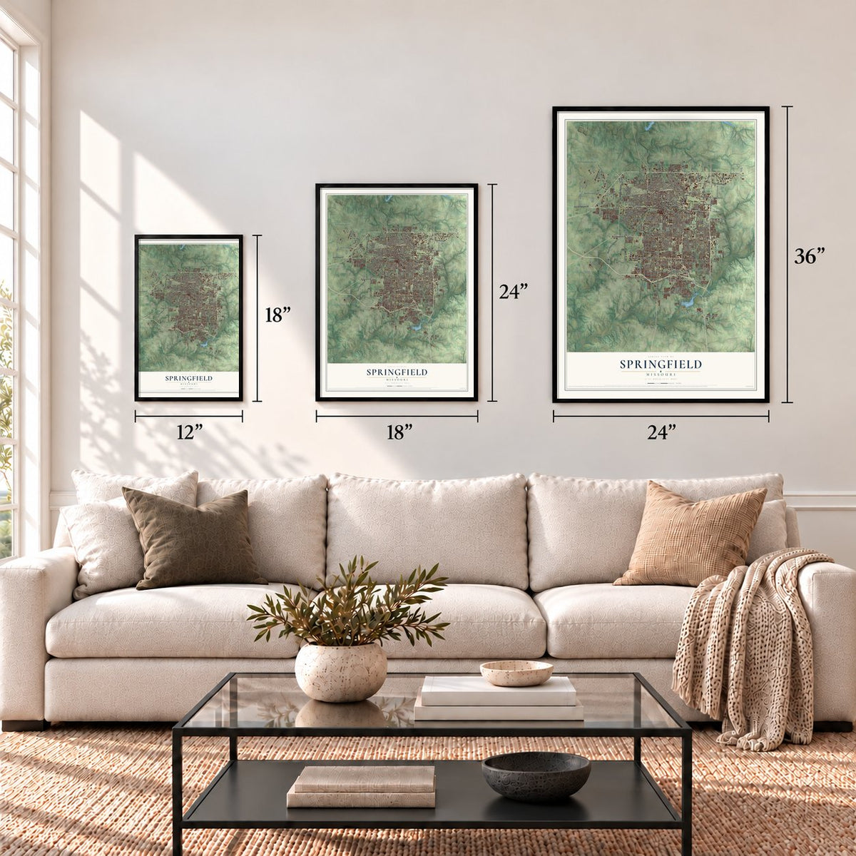
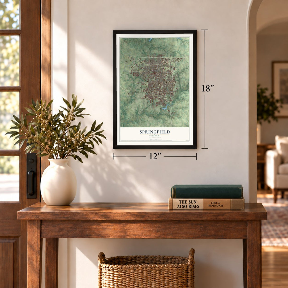
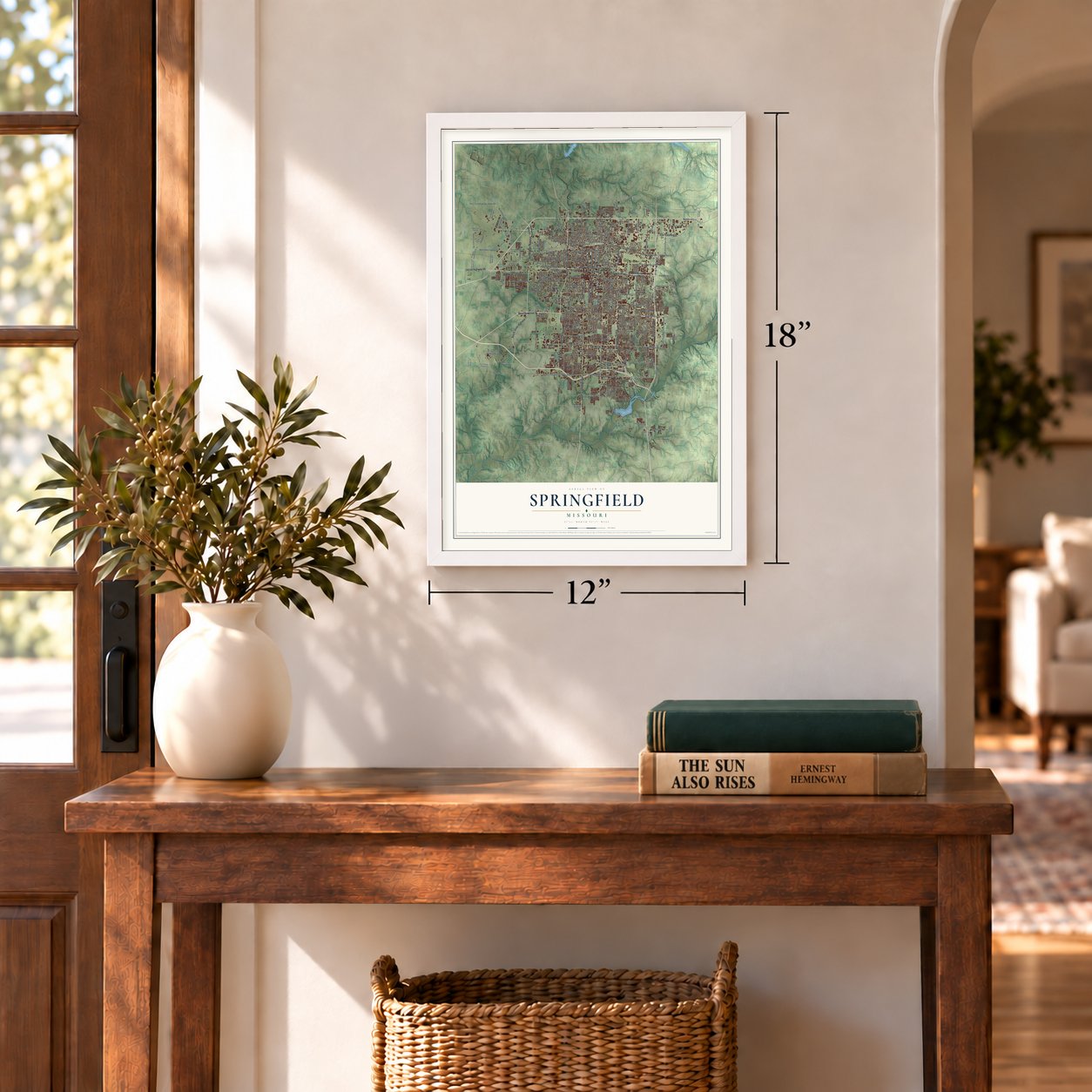
Three ways to hang it
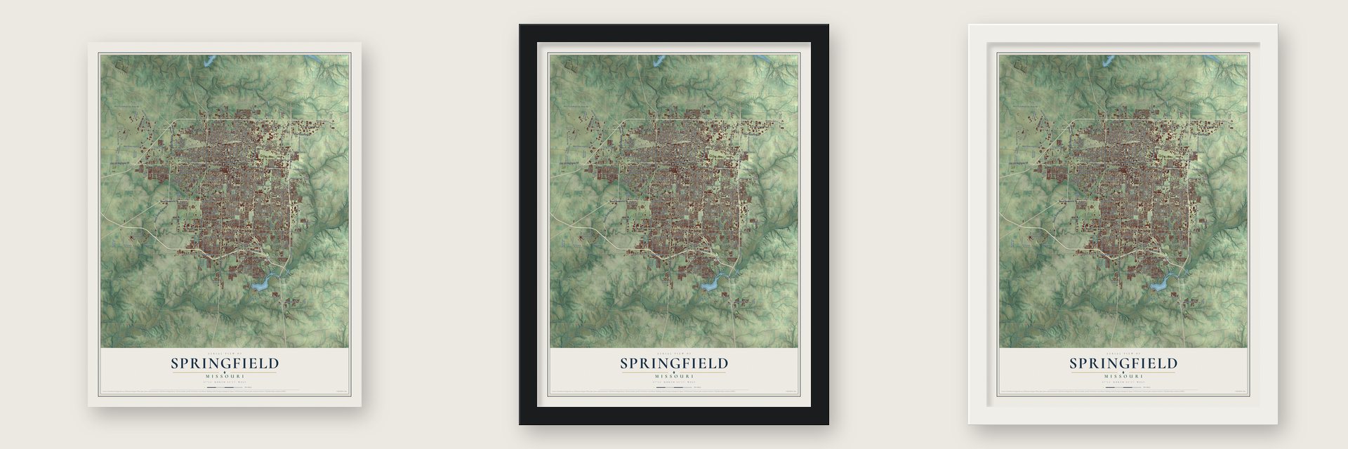
Unframed archival matte, a black wood frame or a white wood frame.
Up close
Geography Worth Displaying
This map was created using accurate cartographic data and authoritative geographic sources, including the U.S. Geological Survey and the Census Bureau. The map brings together terrain, waterways, roads, and building detail. The majority of the streets are labeled, houses are accurately depicted, and the topography is derived from government sources. Combining local data with carefully composed color and shading leads to this beautifully detailed Springfield artwork for your wall.
Rather than simply showing street outlines, we’ve included as many of the street names as we could reasonably fit on the map while keeping their names legible. Zoom in on the high resolution preview to see exactly what’s on the map. We truly set out to create a statement piece for anyone who loves Springfield. So whether it’s for you, or a gift for someone you love, we hope this map of Springfield brings back fond memories.
Read the story behind this map of Springfield, Missouri from 2026.
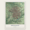
Find your street
Names on the Springfield map
Every name below is printed on this map. Look for your street, your school, the park where you played, or the pond down the road.
Places and landmarks8
- Langston
- Valley Water Mills
- Kissick
- Ritter
- Nichols
- Galloway
- Roseville
- Sequiota
Streets and roads283
- West Chestnut Expressway
- South Glenstone Avenue
- East Kearney Street
- West Kearney Street
- West Sunshine Street
- North Glenstone Avenue
- South Kansas Expressway
- North Kansas Expressway
- South State Highway Ff
- South Campbell Avenue
- North West Bypass
- Old US Highway 66
- South National Avenue
- East Sunshine Street
- East Republic Street
- South Golden Avenue
- West Bennett Street
- East Briar Street
- East Mill Street
- North Grant Avenue
- West Sunset Street
- West Republic Road
- West Nichols Street
- South Fremont Avenue
- South Eastgate Avenue
- East Battlefield Road
- West Division Street
- West State Highway Ee
- South Jefferson Avenue
- West Mount Vernon Street
Show all 283 streets
- East Cherry Street
- East Division Street
- South Kansas Avenue
- South Fort Avenue
- South Farm Road 137
- South Scenic Avenue
- South Delaware Avenue
- State Highway Yy
- South Kimbrough Avenue
- East Grand Street
- East Seminole Street
- East Bennett Street
- South Luster Avenue
- West Madison Street
- North National Avenue
- East Catalpa Street
- West Calhoun Street
- North Fremont Avenue
- West Grand Street
- South Kings Avenue
- East Pythian Street
- North Park Avenue
- South Ingram Mill Road
- East Blaine Street
- West State Street
- North Broadway Avenue
- West Walnut Street
- North Campbell Avenue
- East Atlantic Street
- East Walnut Street
- East Republic Road
- West College Street
- North Summit Avenue
- West Catalpa Street
- North Barnes Avenue
- West Republic Street
- North Benton Avenue
- West Chestnut Street
- East Cherokee Street
- East Evergreen Street
- East Turner Street
- East Trafficway Street
- West Olive Street
- South Barnes Avenue
- East Linwood Drive
- East Dale Street
- West Walnut Lawn Street
- East Lakewood Street
- North Kaylor Road
- East Norton Road
- West Phelps Street
- North Eastgate Avenue
- East Edgewood Street
- West Atlantic Street
- West Scott Street
- North Eldon Avenue
- West Norton Road
- North Farm Road 123
- North Fort Avenue
- West Page Street
- East Saint Louis Street
- West Farm Road 104
- East Independence Street
- North Willard Road
- Farm Road 185
- East Montclair Street
- North Golden Avenue
- West Battlefield Street
- South Cox Road
- West Lasalle Street
- East Mimosa Street
- East Millwood Drive
- West Broadmoor Street
- South Mentor Avenue
- East Swallow Street
- South Link Avenue
- East Holiday Street
- East Mustard Way
- Faa Avenue
- North Sherman Avenue
- South Farm Road 167
- North Packer Road
- West Lincoln Street
- West Portland Street
- East Evans Road
- East Parallel Lane
- Ritter Road
- FM 115
- Elm Lane
- Vista
- East Chestnut Expressway
- Northwest Bypass
- Farm Road 181
- West Farm Road 182
- East Farm Road 178
- South Farm Road 135
- North Farm Road 151
- East Sunset Street
- East Primrose Street
- South Clay Avenue
- East Nottingham Street
- South Lone Pine Avenue
- South Grant Avenue
- State Highway Ee
- South Weller Avenue
- East Elm Street
- South Kentwood Avenue
- West Lynn Street
- East Monroe Street
- South Farm Road 145
- South Oak Grove Avenue
- North Robberson Avenue
- South Dollison Avenue
- East Stanford Street
- North Rogers Avenue
- West Elm Street
- South Farm Road 115
- East Lark Street
- East Loren Street
- North East Avenue
- North Le Compte Road
- West Water Street
- East Woodland Street
- North Lyon Avenue
- West Washita Street
- South Blackman Road
- West Cherokee Street
- East Walnut Lawn Street
- South Catalina Avenue
- West Seminole Street
- West Battlefield Road
- East Cairo Street
- North Douglas Avenue
- North Farm Road 115
- South Farm Road 119
- North West Avenue
- South Oak Avenue
- East Erie Street
- South Brunswick Avenue
- East Smith Street
- South West Avenue
- West Farm Road 130
- West Swan Street
- South Parkhill Avenue
- East Bradford Parkway
- North Lester Jones Avenue
- South Nature Center Way
- North Neergard Avenue
- West Farm Road 168
- Alliance Avenue
- West Tampa Street
- East Greens Drive
- South Prince Lane
- West Inmon Road
- West Tracy Street
- North General Aviation Avenue
- North Drury Avenue
- East Florida Street
- South Park Avenue
- East Phelps Street
- West Kerr Street
- West Erie Street
- West La Siesta Street
- North Wabash Avenue
- South Sulgrove Avenue
- East Scott Street
- East Page Street
- East Farm Road 156
- West Dover Street
- Peele Street
- South Miller Road
- North Airport Boulevard
- Republic Road
- South Farm Road 107
- East Hanover Street
- Nora Street
- East North Street
- East Fritts Lane
- South Dove Lane
- Jean Street
- West Lois Street
- East Street
- West Farm Road 112
- South Kissick Avenue
- North State Highway Ee
- South Kickapoo Avenue
- South Stewart Avenue
- West Harrison Street
- East High Street
- East Glenwood Street
- East Lombard Street
- East Kerr Street
- West Talmage Street
- West Westview Street
- North Clifton Avenue
- North Oak Grove Avenue
- West Woodland Street
- South Ventura Avenue
- East Farm Road 136
- West Jean Street
- East Jean Street
- Farm Road 123
- North Farm Road 107
- East Carleton Street
- East Grandview Street
- West Mill Street
- North O'Hara Avenue
- Cooper Boulevard
- South Ingram Mill Avenue
- North Alliance Avenue
- East Marsa Drive
- West Kay Pointe Boulevard
- East Langston Street
- Farm Road 166
- West Farm Road 116
- South Roslyn Avenue
- East Price Street
- Farm Road 189
- Orlando Avenue
- Heritage Avenue
- East Anne Street
- Evans Road
- North Farm Road 199
- South Roanoke Avenue
- North Nettleton Avenue
- North Howard Avenue
- East Farm Road 102
- Airport Boulevard
- South Avenue
- South Marlan Avenue
- North Fulbright Avenue
- South Haseltine Road
- South Hampton Avenue
- East Chestnut Street
- East McClernon Street
- North Kansas Avenue
- East Old Wire Road
- South Plaza Avenue
- North Stewart Avenue
- North Hampton Avenue
- West Chase Street
- South John Avenue
- East Richmond Street
- North Nias Avenue
- North Airport Commerce
- North Mayfair Avenue
- South Sheridan Avenue
- Trail View Road
- North Farm Road 103
- South Devon Road
- East First Street
- Kearney Street
- First Street
Names are listed as they appear on the printed map. Zoom into the product photos to find them.
About Springfield, Missouri
Springfield is the seat of Greene County and Missouri's third most populous city, with 169,176 residents recorded in the 2020 census. Located on the Springfield Plateau in the Ozarks, it is a regional center for medical care, distribution, logistics, and manufacturing.
- Campbell's Town PlanIn 1835, John Polk Campbell gave 50 acres for the county seat, laid out streets and lots, and Springfield incorporated three years later.
- Early TradeJunius T. Campbell established Springfield's first store, while Major D. D. Berry later brought two wagonloads of merchandise from Bolivar, Tennessee.
- Civil War CrossroadsNearby Wilson's Creek saw a major 1861 battle, and an urban fight followed in 1863 before Springfield stayed under Union control.
- Country Music TelevisionBetween 1955 and 1961, four nationally broadcast television series originated in Springfield, including Ozark Jubilee and Five Star Jubilee.
- Registered LandmarksHeer's Department Store, the Gillioz and Landers theaters, the Greene County Courthouse, Rail Haven Motel, and a Route 66 Steak 'n Shake are nationally registered landmarks.
Keep exploring Missouri
Springfield is one of 1,207 Missouri towns we've mapped. Every dot on the map is a print of its own.
The search covers every state, Missouri first.
Near Springfield
Order 2 or more town maps and save 10%. Shown in the size and finish you picked above, so they hang as a set.
- Battlefield 12" x 18" / Archival Matte Print $39.99
- Republic 12" x 18" / Archival Matte Print $39.99
- Fremont Hills 12" x 18" / Archival Matte Print $39.99
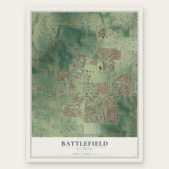
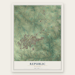

More maps nearby: Willard, Nixa, Strafford, Ozark and Rogersville.
The art of mapping a place
How This Map Was Made
Real places. Remarkable detail. Discover the layers that turn geographic data into a map of home.

The view from above
Aerial imagery reveals the character of the land: woodland, open fields, and the patterns of a place.

The shape of the land
Elevation data brings hills, valleys, and subtle changes in the landscape into view.

The details of home
Roads, waterways, and building footprints come together to make the map feel unmistakably local.

Geography becomes art
Considered color, shading, and typography bring the layers together in a map made for your wall.


Process illustrated with Mendon, Massachusetts. Aerial imagery: USDA NAIP. Terrain: USGS 3D Elevation Program. Map details and finished artwork: KNOWOL.
The Details
About This Print
Choose an archival matte print, or a black or white Ayous wood frame. The archival matte print is unframed.
Select your size and finish above to see the matching product image and price.
Materials & Craftsmanship
A contemporary map with the character of a classic atlas, printed on archival matte paper. Optional frames are made from Ayous wood.
Your printed map does not include the watermark shown in the full-map preview.
Shipping & Delivery
Free shipping within the United States. Every print is made to order in the USA.
Buying a gift? Add a note in your cart and we'll include it. We never put prices in the package.
Prints ship within 2 to 3 business days. Allow 7 to 10 days total from ordering for delivery. Timing may vary during holidays or periods of high order volume.
Read our shipping policy.
Returns and damaged prints
Each print is made to order. Change-of-mind refunds are not available after production.
If your print arrives damaged, misprinted or incorrect, contact support@knowol.com within 30 days of receiving it. Include your order number, photos and a description of the issue.
Read our full refund and replacement policy. For questions about your order, email support@knowol.com.