
Search for another town


Free U.S. delivery 7 to 10 days after you order
Stonecrest, Georgia Map Art
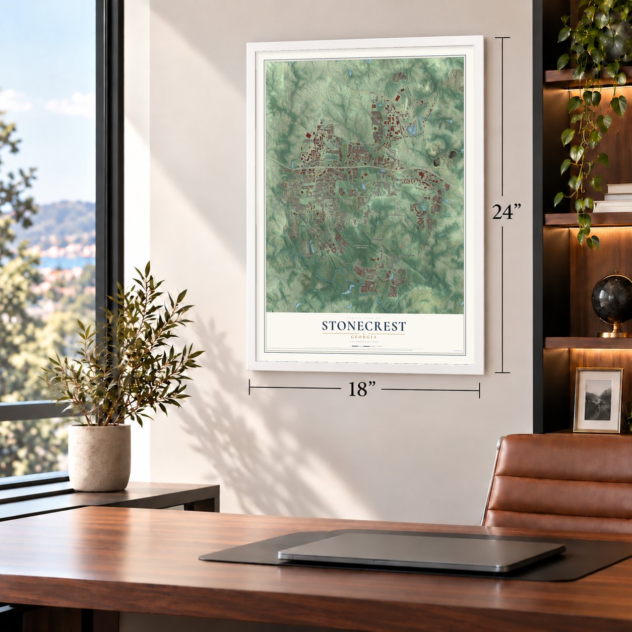
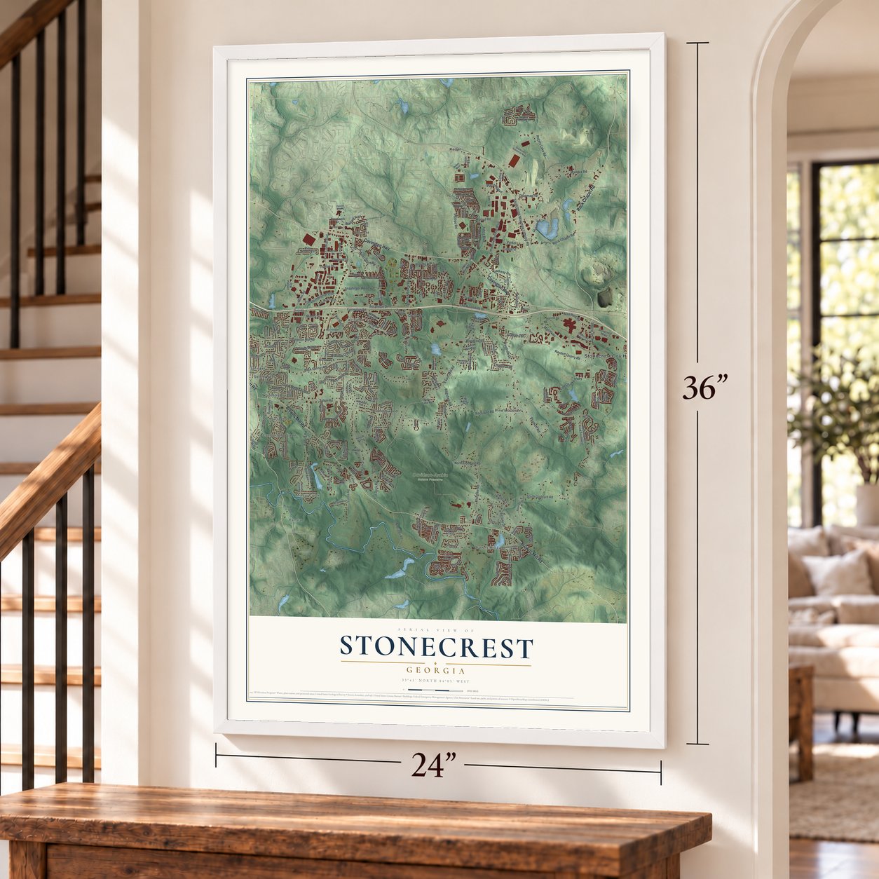
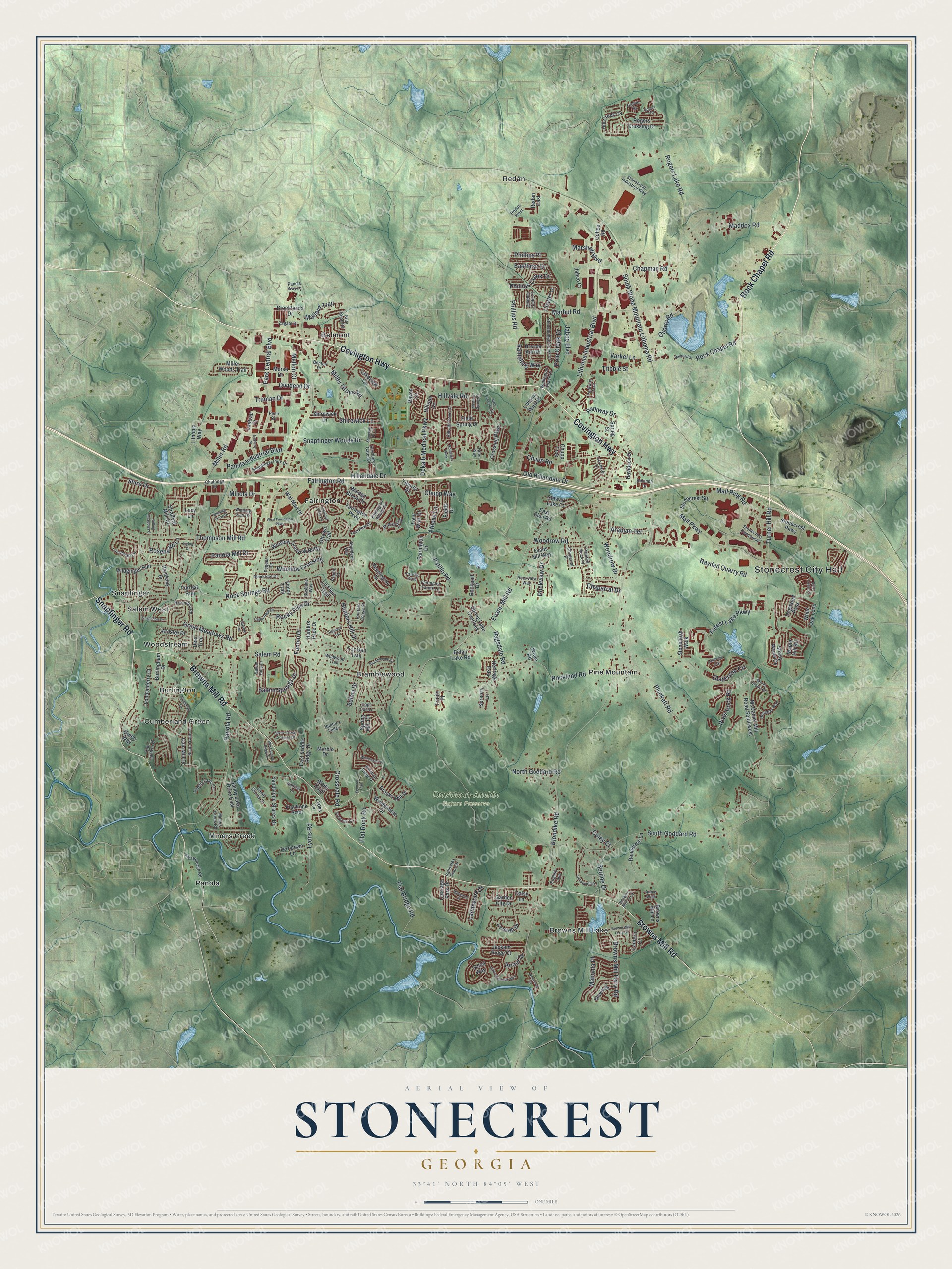
A new map of Stonecrest, Georgia, made in 2026 and printed to order on thick archival matte paper.
12" x 18" Archival Matte Print
A Map of Home. A Work of Art.
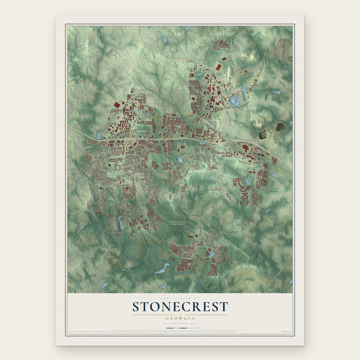
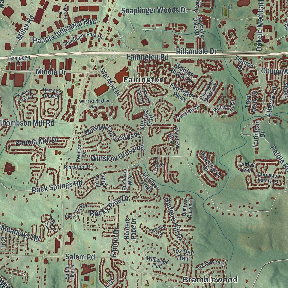
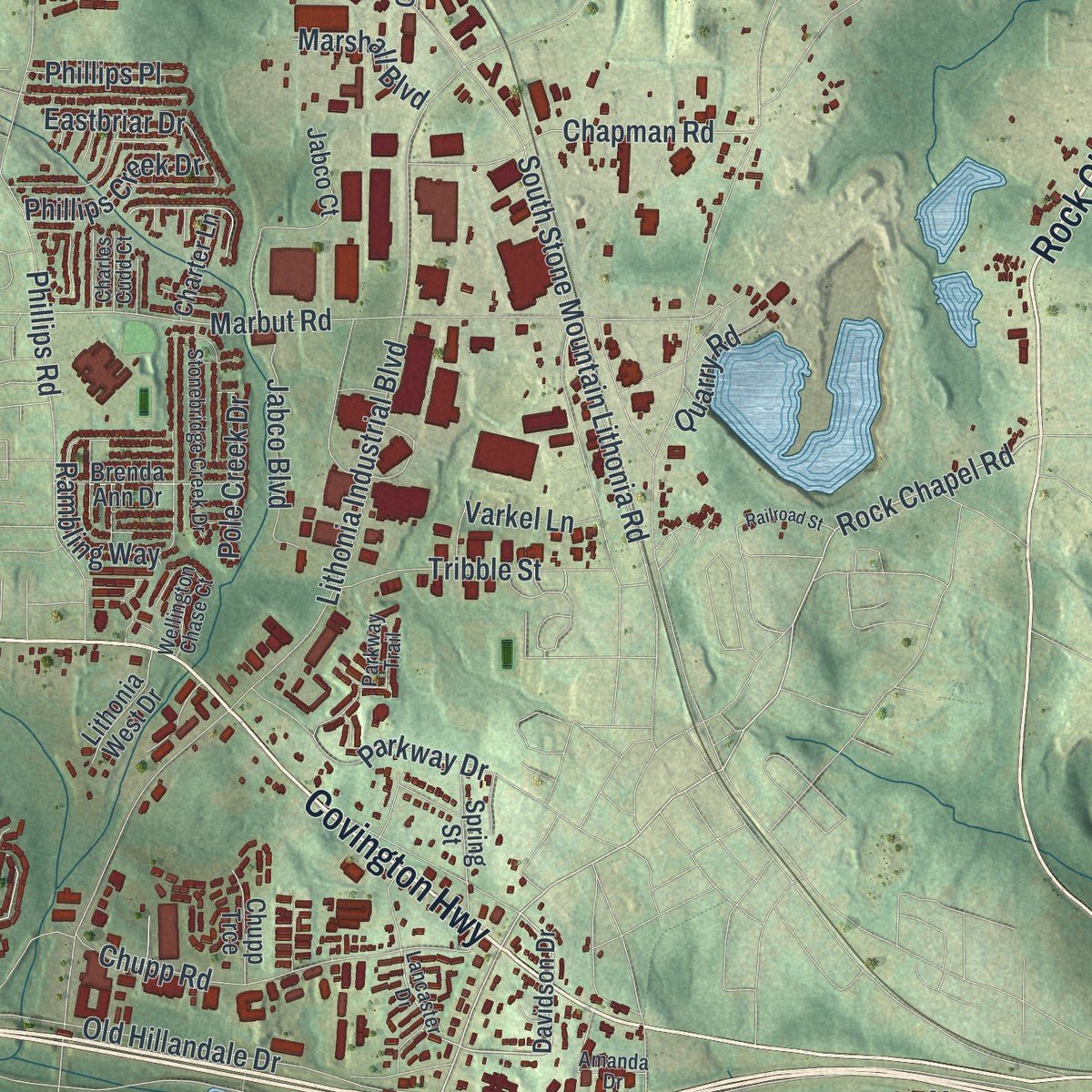
Explore Stonecrest, Georgia from a whole new perspective. Created using aerial imagery and detailed geographic data, this map captures Stonecrest building by building, with labeled streets, familiar landmarks, and shaded topographical relief that highlights the natural contours of the landscape.
Combining modern data with the timeless character of a vintage atlas, this map is just as interesting up close as it is beautiful on the wall. Whether you grew up in Stonecrest, spent memorable years there, or call it home today, this unique map is a great way to celebrate a place that means something to you. Zoom in on the preview to look for your street, and then order a print to put your memories on the wall.
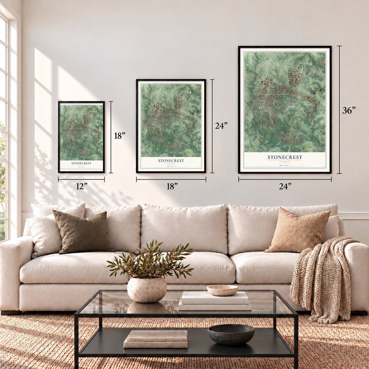
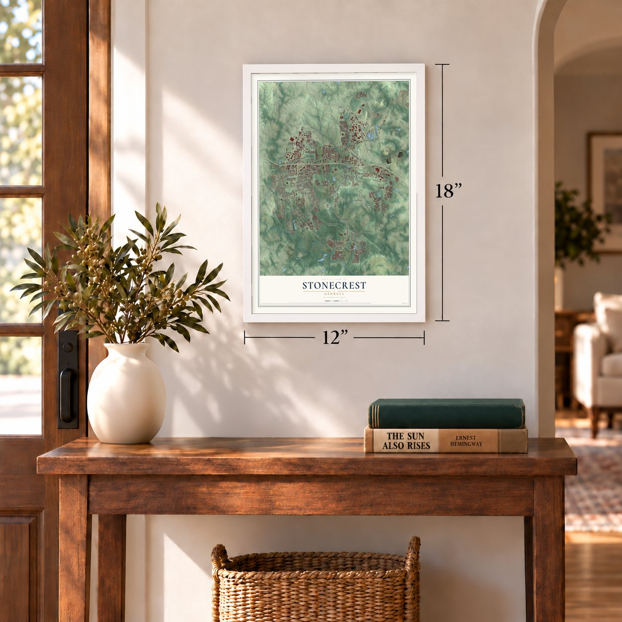
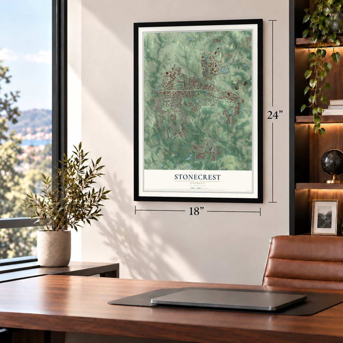
Three ways to hang it
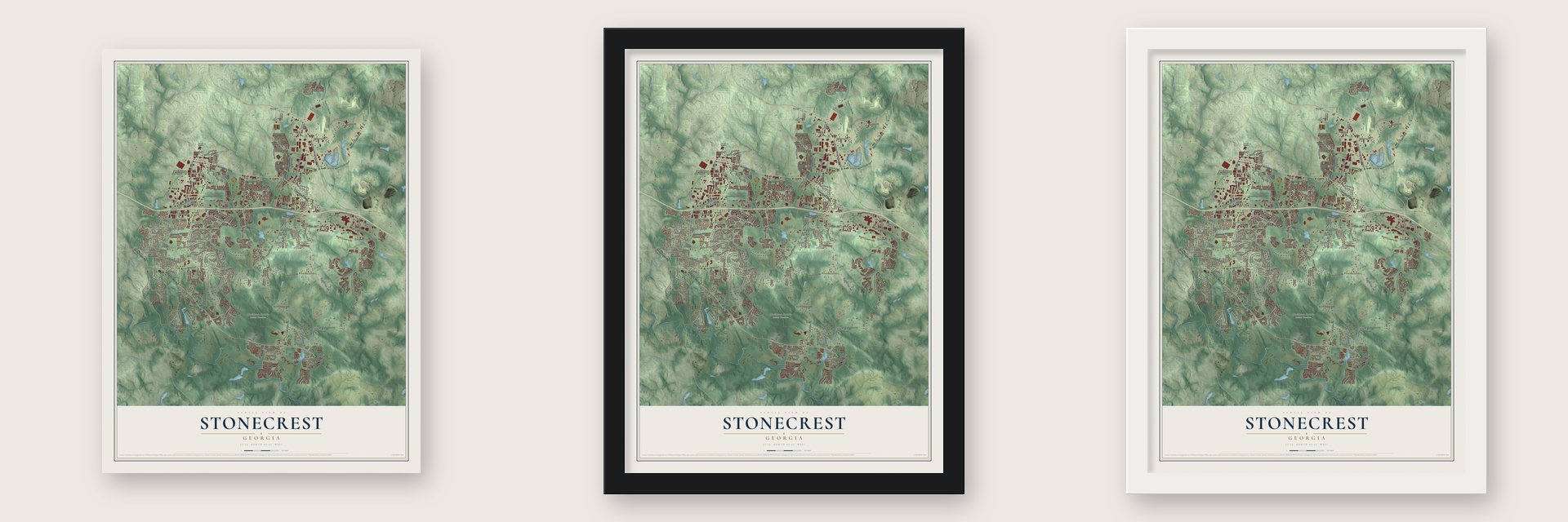
Unframed archival matte, a black wood frame or a white wood frame.
Up close
Geography Worth Displaying
This map was created using accurate cartographic data and authoritative geographic sources, including the U.S. Geological Survey (USGS) and FEMA. The map brings together terrain, waterways, roads, and building detail. The majority of the streets are labeled, houses are accurately depicted, and the topography is derived from government sources. Combining local data with carefully composed color and shading leads to this beautifully detailed Stonecrest artwork for your wall.
Rather than simply showing street outlines, we’ve included as many of the street names as we could reasonably fit on the map while keeping their names legible. Zoom in on the high resolution preview to see exactly what’s on the map. We truly set out to create a statement piece for anyone who loves Stonecrest. So whether it’s for you, or a gift for someone you love, we hope this map of Stonecrest brings back fond memories.
Explore the full map of Stonecrest, Georgia and read about the local places it shows.

About Stonecrest, Georgia
Stonecrest is a city of 59,194 people in the far southeastern corner of DeKalb County, where it meets Lithonia and the Rockdale and Henry county lines. Voters in the area approved the new city in the November 2016 general election. In March 2017 they went back to the polls to choose a mayor and council members for five districts, and the city government took office.
- Named for its mallThe city takes its name from the Mall at Stonecrest. The mall opened in 2001 and holds more than 100 stores and places to eat.
- Georgia's 15th-largest cityThe 2020 census counted 59,194 people in Stonecrest, which ranked it 15th among Georgia's cities. No other city that lies wholly inside DeKalb County is larger, since most of Atlanta sits in Fulton County.
- A museum of rural Black lifeStonecrest is home to the Flat Rock Archives, an African American museum. It works to keep the history of Black life in rural Georgia from being lost.
- Arabia MountainArabia Mountain is the northern peak of the pair inside the Davidson-Arabia Mountain Nature Preserve. The preserve belongs to the Arabia Mountain National Heritage Area.
Find your street
Names on the Stonecrest map
Every name below is printed on this map. Look for your street, your school, the park where you played, or the pond down the road.
Places and landmarks15
- Stonecrest City Hall
- Davidson-Arabia Nature Preserve
- Belmont
- Bramblewood
- Browns Mill Lake
- Burlington
- Cumberland Green
- Fairington
- Miners Creek
- Panola
- Pine Mountain
- Redan
Show all 15 places
- Salem West
- Snapfinger
- Woodstream
Streets and roads256
- Covington Highway
- Rock Chapel Road
- Browns Mill Road
- Snapfinger Road
- Evans Mill Road
- Panola Road
- Klondike Road
- Lithonia Industrial Boulevard
- Rock Springs Road
- Rockland Road
- South Goddard Road
- Rogers Lake Road
- Miller Road
- Hillandale Drive
- Mall Parkway
- Salem Road
- South Stone Mountain Lithonia Road
- Snapfinger Woods Drive
- Plunkett Road
- Hayden Quarry Road
- Marbut Road
- Phillips Road
- Chupp Road
- Fairington Road
- Thompson Mill Road
- Turner Hill Road
- Rambling Way
- Crossvale Road
- North Goddard Road
- Mall Ring Road
Show all 256 streets
- Maddox Road
- Old Hillandale Drive
- Woodrow Road
- Panola Industrial Boulevard
- Browns Mill Ferry Road
- Park Central Boulevard
- Athena Lane
- Hillvale Road
- Dekalb Medical Parkway
- Panola Mill Drive
- Forest Lake Parkway
- Woodrow Drive
- Shire Drive
- Hunters Hill Drive
- Chapman Road
- Flat Bridge Road
- Lyons Road
- Great Meadows Road
- Chupp Way
- Minola Drive
- Jabco Boulevard
- Mahonia Place
- Eastbriar Drive
- Parkway Drive
- Miller Grove Road
- Berline Drive
- Flat Rock Road
- Patillo Road
- River Rock Road
- Tribble Street
- Winslow Crossing
- Salem Springs Drive
- Ragsdale Road
- Dividend Drive
- Shirewick Lane
- Rocky Pine Drive
- Rockview Drive
- Fannin Drive
- Phillips Creek Drive
- Roseheath Lane
- Gladstone Circle
- Mallard Trail
- Pole Creek Drive
- Truman Drive
- Latchwood Drive
- Arabian Terrace
- Marshall Boulevard
- Quarry Road
- Chaparral Drive
- Phillips Place
- Mellon Court
- Varkel Lane
- Ariaal Drive
- Salem Drive
- Coley Court
- Davidson Drive
- Dogwood Pass
- Fairington Parkway
- White Oak Loop
- McDaniel Mill Road Southwest
- Field Spring Drive
- Leverett Drive
- Hunters Pace Drive
- Fairington Drive
- Hill Creek Cv
- Jackam Ridge Court
- Winslow Crossing North
- Fields Drive
- Charter Lane
- Stonecrest Parkway
- Maple Hill Road
- La Fleur Trail
- Sandstone Shares Drive
- Flat Rock Point
- Hillvale Circle
- Raven Circle
- Brooks Mill Drive
- East Saddle Ridge Drive
- Rogers Crossing Drive
- Spring Mill Circle
- Spring Lake Overlook
- Miller Woods Trail
- Sandy Lake Drive East
- Roundtree Lane
- Ottawa Trail
- Garden City Drive
- Cain Mill Drive
- Timor Trail
- Browns Mill Lane
- Windermere Drive
- Jabco Court
- Crossing Parkway
- Londonderry Court
- Stonecrest Square
- Heritage Ests
- Lantern Court
- Wildginger Run
- Shady Maple Drive
- Spring Street
- Stratford Mill Road
- Ardsley Drive
- Piering Drive
- Carriage Park Drive
- Lakeview Circle
- Terrytown Lane
- Brenda Ann Drive
- Pennington Drive
- Walden Brook Drive
- Stewart Lake Court
- Wade Road
- Tiburon Drive
- Lithonia West Drive
- Brooklands Drive
- Burlingham Drive
- Stoneleigh Walk
- Rondelay Drive
- Shirewick Drive
- Wal Mart Drive
- Bowie Drive
- Lacy Lane
- Trent Walk Drive
- Evans Mill Way
- Chupp Trce
- Waits Point
- Morse Drive
- Belair Lake Road
- Serenity Lane
- Lithonia Way
- Fox Den Trail
- Rockport Drive
- Deer Trce
- Lantrac Court
- Redan East
- Golod Way
- East Glen Road
- Green Way
- Coffee Road
- Lyons Circle
- Trinity Place
- Marble Drive
- Forrest Run
- Daisy Lane
- Lancaster Drive
- Miners Creek Road
- Winding Glen Drive
- Lionshead Circle
- Fairington Farms Lane
- Briar Knoll Road
- Herrenhut Road
- Rosebay Way
- Aberdeen Way
- Stonebridge Creek Drive
- Belmont Ridge Drive
- English Loop
- Hillvale Cove Drive
- Button Gate Court
- Mc Donough Road
- Panola Lake Circle
- Snapfinger Park Drive
- Wellington Chase Court
- Treeview Drive
- Browns Mill Trce
- Keystone Gates Drive
- Amanda Drive
- Stonecrest Concourse
- Stonecrest Industrial Way
- Blackfoot Drive
- Chaparral Place
- Sandy Shores Court
- Hunters Chase Court
- Cape Cod Lane
- Pequea Drive
- Rockview Way
- Palisades Place Drive
- Parkway Trail
- Benton Drive
- Hunter's Valley
- Moss Stone Drive
- Zagato Drive
- Old Lantern Drive
- Chatooga Drive
- Fairington Village Drive
- Fairing Drop
- Salem Hills Drive
- Brisbane Way
- Wildwood Trail
- Charles Cudd Court
- Painted Rock Place
- Andrew Lane
- Pearce Court
- Panola Way Lane
- Redan West
- Gallier Street
- Annie Walk
- Tater Way
- Penn Circle
- Sawgrass Circle
- Bramblevine Circle
- West Fairington Parkway
- Arbor Crossing Drive
- Browns Mill Ferry Drive
- Housworth Drive
- River Overlook Way
- Reynard Trail
- Cedar Rock Drive
- Cumbrian Lane
- Spicy Cedar Lane
- Winding Grove Drive
- Winchester Place
- Savoy Chase Crossing Drive
- Easterly Place
- West Saddle Ridge Drive
- Oaktree Trail
- Rogers Trce
- Zinzendorf Drive
- Railroad Street
- Rolling Meadows Court
- Lynnonhall Court
- Idlewood Place
- Lakeview Crk
- Stonekey Place
- Meadow Spring Drive
- Spencer Trail
- Highland Park Circle
- Somerset Parkway
- Ivylog Court
Names are listed as they appear on the printed map. Zoom into the product photos to find them.
The art of mapping a place
How This Map Was Made
Real places. Remarkable detail. Discover the layers that turn geographic data into a map of home.

The view from above
Aerial imagery reveals the character of the land: woodland, open fields, and the patterns of a place.

The shape of the land
Elevation data brings hills, valleys, and subtle changes in the landscape into view.

The details of home
Roads, waterways, and building footprints come together to make the map feel unmistakably local.

Geography becomes art
Considered color, shading, and typography bring the layers together in a map made for your wall.


Process illustrated with Mendon, Massachusetts. Aerial imagery: USDA NAIP. Terrain: USGS 3D Elevation Program. Map details and finished artwork: KNOWOL.
The Details
About This Print
Choose an archival matte print, or a black or white Ayous wood frame. The archival matte print is unframed.
Select your size and finish above to see the matching product image and price.
Materials & Craftsmanship
A contemporary map with the character of a classic atlas, printed on archival matte paper. Optional frames are made from Ayous wood.
Your printed map does not include the watermark shown in the full-map preview.
Shipping & Delivery
Free shipping within the United States. Every print is made to order in the USA.
Buying a gift? Add a note in your cart and we'll include it. We never put prices in the package.
Prints ship within 2 to 3 business days. Allow 7 to 10 days total from ordering for delivery. Timing may vary during holidays or periods of high order volume.
Read our shipping policy.
Returns and damaged prints
Each print is made to order. Change-of-mind refunds are not available after production.
If your print arrives damaged, misprinted or incorrect, contact support@knowol.com within 30 days of receiving it. Include your order number, photos and a description of the issue.
Read our full refund and replacement policy. For questions about your order, email support@knowol.com.
Find your town
Looking for another city?
Find a map of home in our Georgia collection, or any town in the country.
Nearby
Maps of towns near Stonecrest
Know someone from one of these towns? Their map makes a great gift.
 Lithonia
, Georgia
From $39.99See the map
 Redan
Redan, Georgia
From $39.99See the map
 Lakeview Estates
, Georgia
From $39.99See the map
More maps nearby: Panthersville, Candler-McAfee, Belvedere Park, Pine Lake and Stone Mountain.