
Search for another town




Free U.S. delivery 7 to 10 days after you order
Suffolk, Virginia Map Art
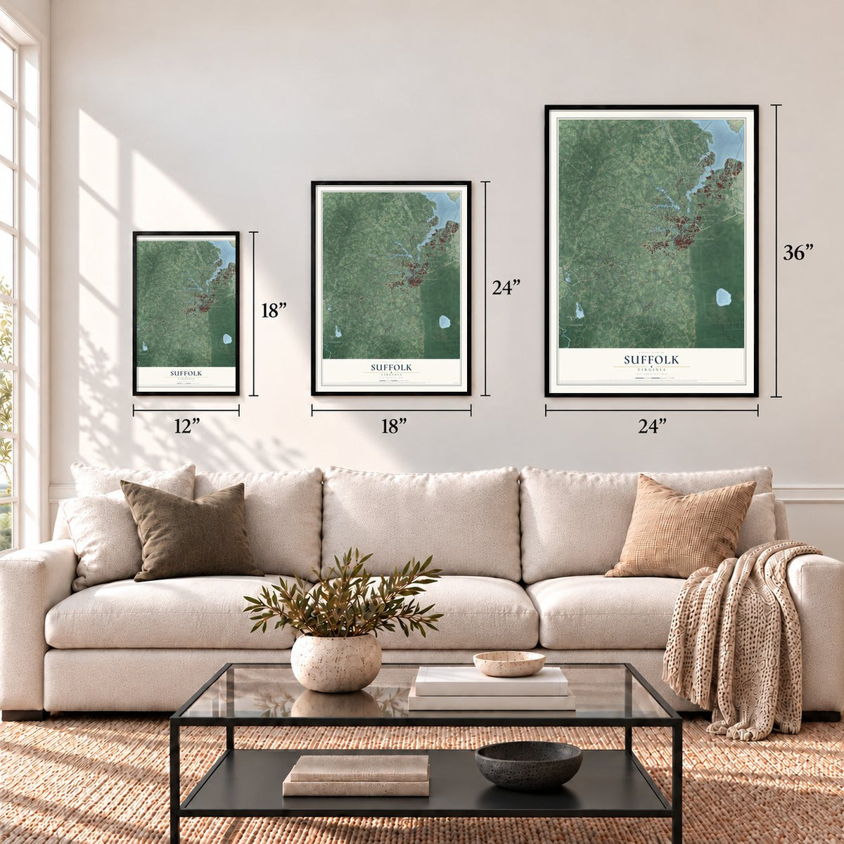
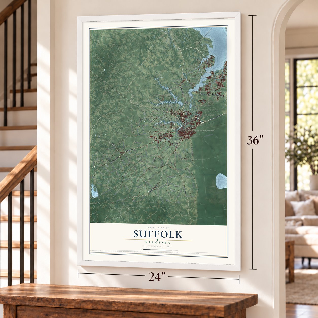
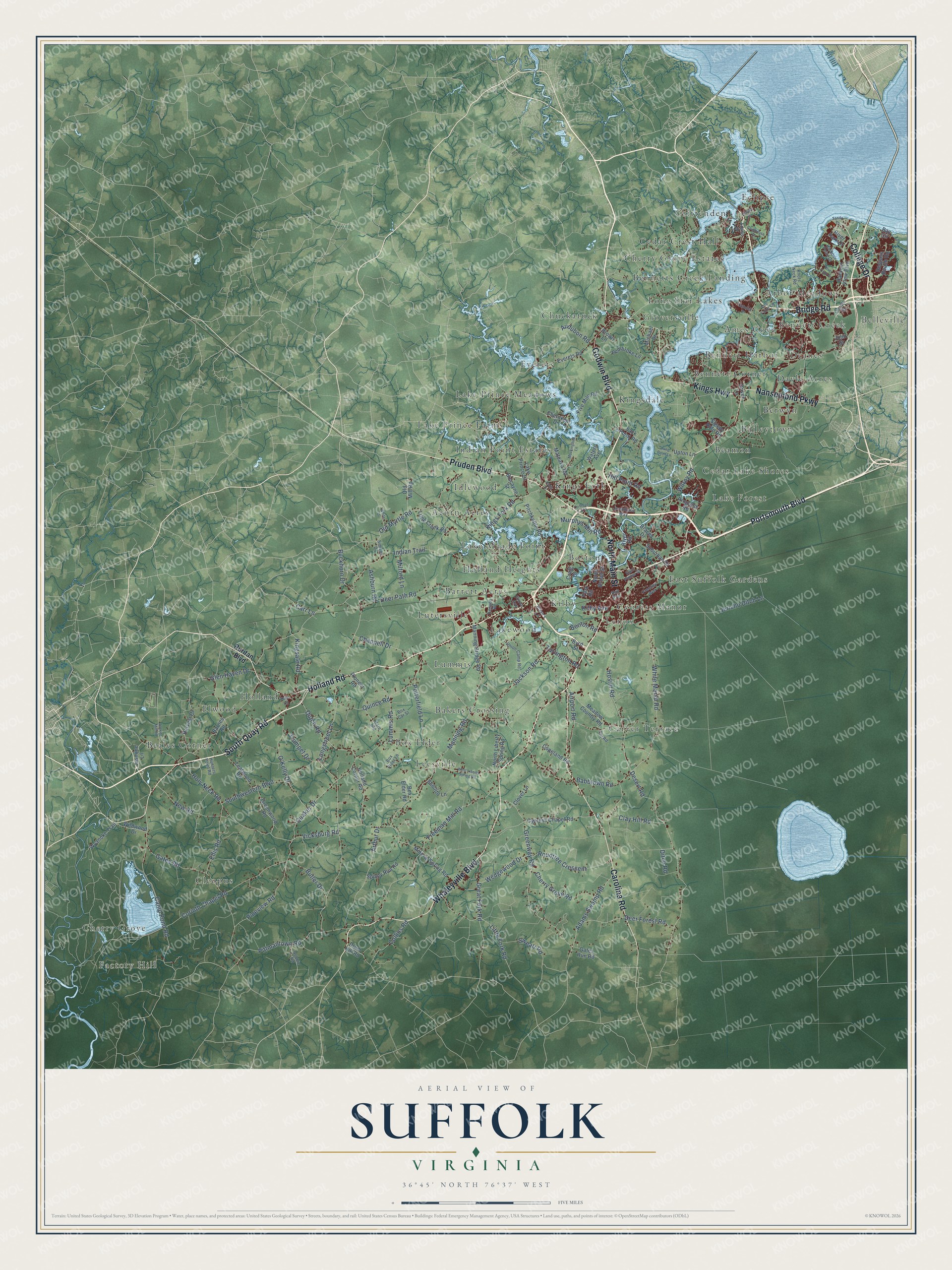
A new map of Suffolk, Virginia, made in 2026 and printed to order on thick archival matte paper.
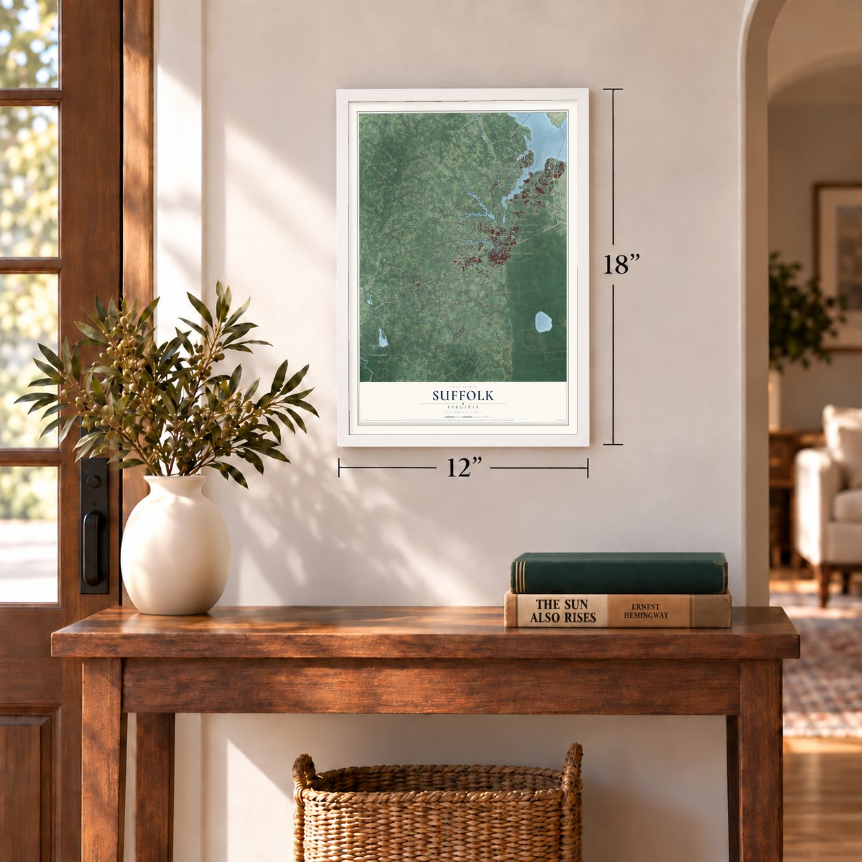
12" x 18" Archival Matte Print
A Map of Home. A Work of Art.
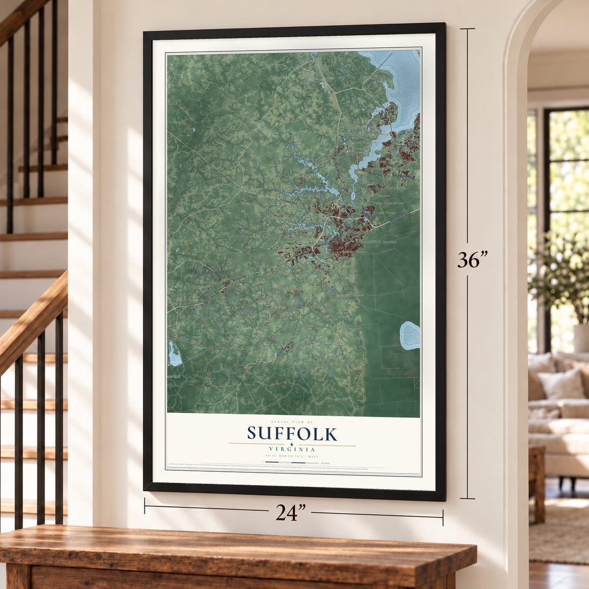
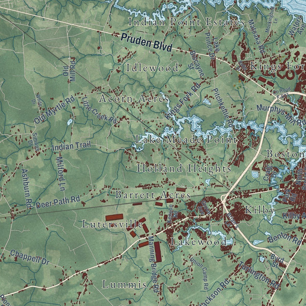
Explore Suffolk, Virginia from a whole new perspective. Created using aerial imagery and detailed geographic data, this map captures Suffolk building by building, with labeled streets, familiar landmarks, and shaded topographical relief that highlights the natural contours of the landscape.
Combining modern data with the timeless character of a vintage atlas, this map is just as interesting up close as it is beautiful on the wall. Whether you grew up in Suffolk, spent memorable years there, or call it home today, this unique map is a great way to celebrate a place that means something to you. Zoom in on the preview to look for your street, and then order a print to put your memories on the wall.
Three ways to hang it
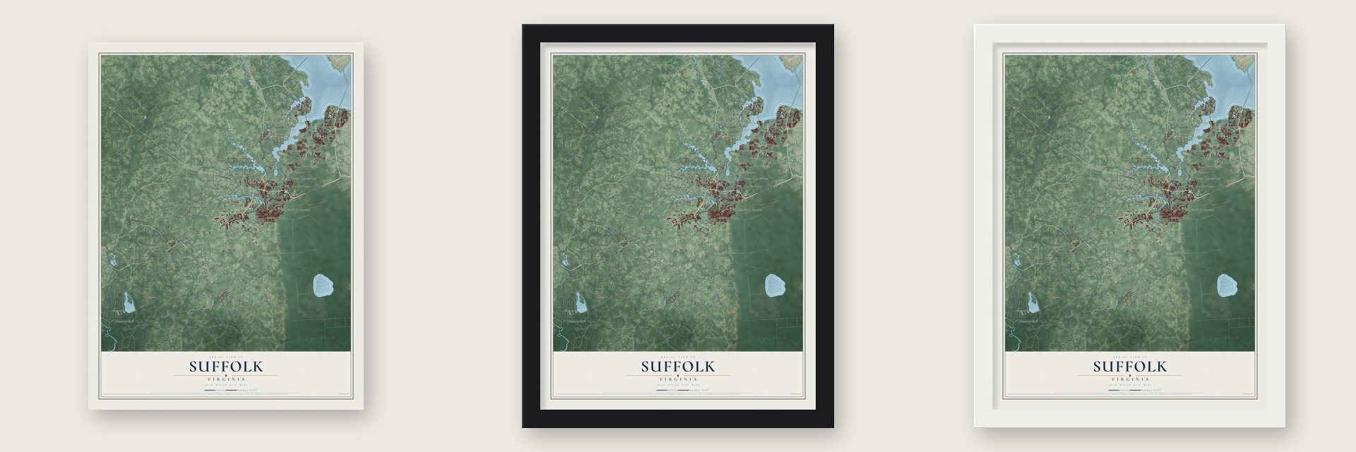
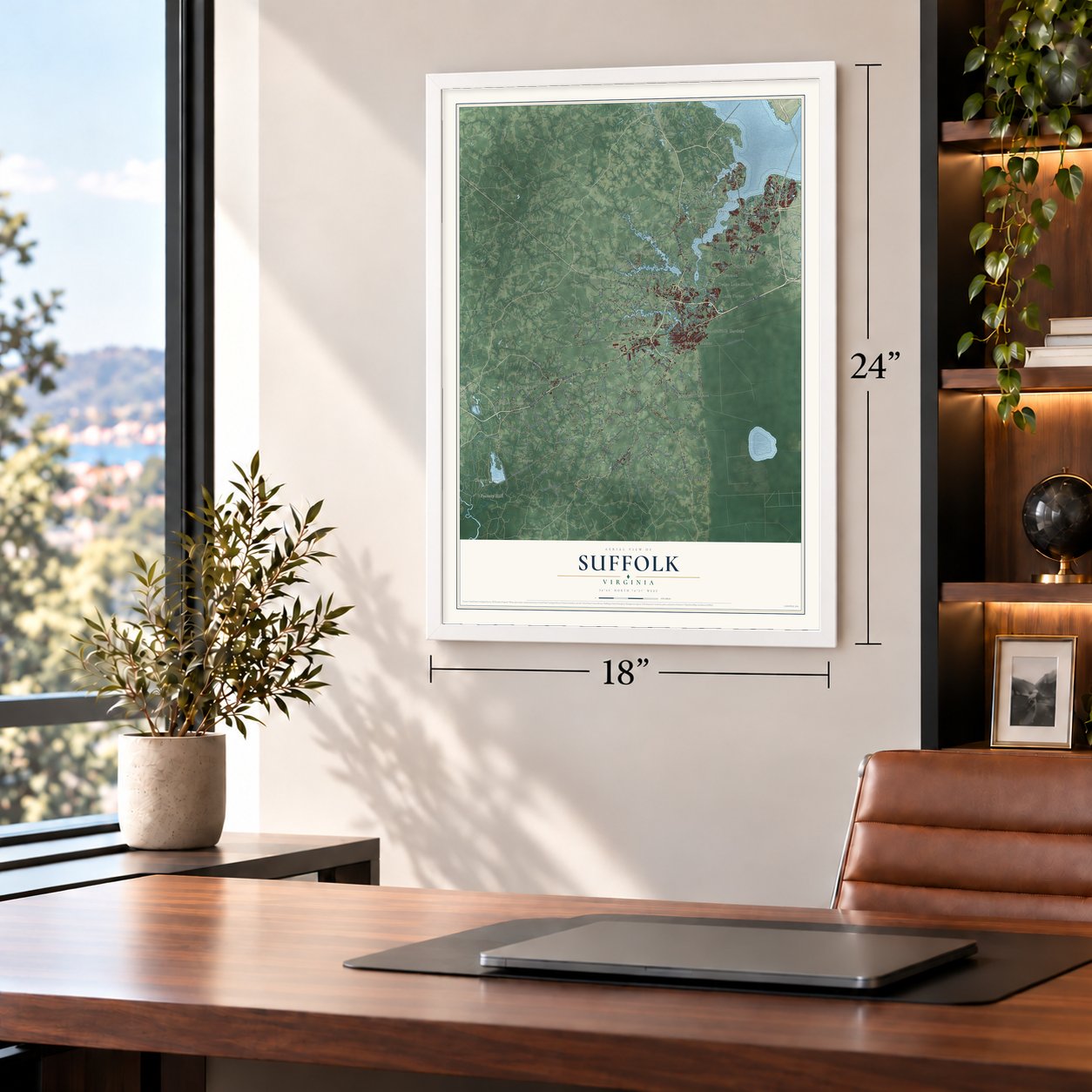
Unframed archival matte, a black wood frame or a white wood frame.
Up close
Geography Worth Displaying
This map was created using accurate cartographic data and authoritative geographic sources, including the U.S. Geological Survey and the Census Bureau. The map brings together terrain, waterways, roads, and building detail. The majority of the streets are labeled, houses are accurately depicted, and the topography is derived from government sources. Combining local data with carefully composed color and shading leads to this beautifully detailed Suffolk artwork for your wall.
Rather than simply showing street outlines, we’ve included as many of the street names as we could reasonably fit on the map while keeping their names legible. Zoom in on the high resolution preview to see exactly what’s on the map. We truly set out to create a statement piece for anyone who loves Suffolk. So whether it’s for you, or a gift for someone you love, we hope this map of Suffolk brings back fond memories.
Read the story behind this map of Suffolk, Virginia from 2026.

About Suffolk, Virginia
Suffolk is a city of 94,324 people in Hampton Roads, on the Nansemond River. The Nansemond people lived here before the colonists came. Virginia colonists founded the settlement in 1742 as a port town and first called it Constant's Warehouse, after John Constant, one of its founders. It was later renamed for the English county that was home to Sir William Gooch, the royal governor of Virginia, and in 1750 it became the seat of Nansemond County.
Colonists here grew tobacco as a cash crop with the labor of enslaved people, and later turned to mixed farming. Suffolk was incorporated as a town in 1808 and as a city in 1910, when it split from Nansemond County. It stayed the county seat until 1972, when the county itself became the independent city of Nansemond. Two years later, in 1974, the two cities merged under Suffolk's name and charter.
“Here stood the Colonial Suffolk Church, a large, cross-shaped, brick building, erected in 1753 as the second parish church of Upper Parish, Nansemond County, and the first house of worship in the town of Suffolk.”
- Home of Mr. PeanutPeanuts from the farms around Suffolk grew into its major industry, and Planters' Peanuts got its start here beginning in 1912. Suffolk was the birthplace of Mr. Peanut, the company's mascot. For years the local radio station WLPM took its call letters from World's Largest Peanut Market, and every fall since 1977 the city has hosted Peanut Fest.
- A railroad crossroadsTwo railroads, the Portsmouth and Roanoke and the Norfolk and Petersburg, ran through Suffolk before the Civil War, and four more lines followed. The Atlantic and Danville Railway added a stop in 1890. Passenger trains ended in 1977 with Amtrak's Mountaineer. The old Seaboard Coast Line station is now the Seaboard Station Railroad Museum.
- The depot at Pin PointIn 1918 Suffolk became home to the Nansemond Ordnance Depot, part of the war effort. During the Civil War, when the Confederacy held the area, this land went by the name Pin Point. The federal government bought it and stored weapons there until the depot closed in 1960.
Find your street
Names on the Suffolk map
Every name below is printed on this map. Look for your street, your school, the park where you played, or the pond down the road.
Places and landmarks50
- Cherry Grove
- Factory Hill
- Acorn Acres
- Ames Cove
- Arbor Meadows
- Baileytown
- Bakers Crossing
- Barrett Acres
- Beales Corner
- Beamon
- Belleville
- Bennett Corner
Show all 50 places
- Bennett Creek
- Bennett Harbor
- Bennetts Creek Landing
- Berwyn
- Boston
- Box Elder
- Carver Terrace
- Cedar Crest Hall
- Cedar Lake Shores
- Cherry Grove Estates
- Chuckatuck
- Cleopus
- Crittenden
- Cypress Manor
- Dayle Acres
- Deanes
- East Suffolk Gardens
- Eclipse
- Elwood
- Everets
- Gloversville
- Holland
- Holland Heights
- Idlewood
- Indian Point Estates
- Kilby
- Kings Fork
- Kingsdale
- Lake Forest
- Lake Meade Point
- Lake Prince Farms
- Lake Prince Meadows
- Lakewood
- Leesville
- Lenox
- Lone Star Lakes
- Lummis
- Lutersville
Streets and roads156
- Holland Road
- Whaleyville Boulevard
- Bridge Road
- South Quay Road
- Godwin Boulevard
- Portsmouth Boulevard
- Pruden Boulevard
- North Main Street
- Carolina Road
- Nansemond Parkway
- Kings Highway
- College Drive
- Buckhorn Drive
- Indian Trail
- White Marsh Road
- Manning Road
- Longstreet Lane
- Holy Neck Road
- Gates Road
- Desert Road
- Kings Fork Road
- Quaker Drive
- Freeman Mill Road
- Hosier Road
- Greenway Road
- Old Myrtle Road
- Corinth Chapel Road
- Pittmantown Road
- Deer Path Road
- O'Kelly Drive
Show all 156 streets
- Camp Pond Road
- Jericho Ditch Lane
- Arthur Drive
- Wilroy Road
- Jackson Road
- Pineview Road
- Babbtown Road
- Southwestern Boulevard
- Lummis Road
- Great Fork Road
- Little Fork Road
- Kingsale Road
- Glen Haven Drive
- Adams Swamp Road
- Deer Forest Road
- Dutch Road
- Turlington Road
- Airport Road
- Rountree Crescent
- New Road
- Cherry Grove Road
- Murphys Mill Road
- Ellis Road
- Wedgewood Drive
- Chappell Drive
- Porterfield Lane
- Collins Road
- Butler Drive
- Quince Road
- Clay Hill Road
- Hill Point Road
- Sweatt Road
- Vicksburg Road
- Trumpet Drive
- Milford Lane
- Ashburn Road
- Audubon Road
- Benton Road
- Kilby Avenue
- Ditch Road
- Carr Lane
- Ruritan Boulevard
- Copeland Road
- Mineral Spring Road
- Harbour View Boulevard
- Cypress Chapel Road
- Pitchkettle Road
- Lake Prince Drive
- Sleepy Hole Road
- Barnes Road
- Box Elder Road
- Everets Road
- Old Mill Road
- Holland Corner Road
- Harvest Drive
- Five Mile Road
- Manning Bridge Road
- Meadow Country Road
- North Liberty Spring Road
- Matoaka Road
- Greenwood Road
- Pembroke Lane
- Respass Beach Road
- Spivey Run Road
- Wyanoke Trail
- Leafwood Road
- River Park Drive
- Little Creek Road
- Pioneer Road
- Suburban Drive
- Wildwood Drive
- Driver Lane
- Jasmine Lane
- Biscayne Street
- Waters Avenue
- Cherokee Drive
- Drum Hill Road
- Shellito Lane
- Gates Run Road
- Progress Road
- Bracey Drive
- Clover Lane
- Sack Point Road
- North Broad Street
- Upton Lane
- River Road
- Michael Drive
- Craig Drive
- Brown Lane
- Byrd Street
- Bay Circle
- John Street
- Park Road
- East Pinner Street
- Union Camp Road
- Lincoln Street
- Kenyon Road
- Hare Road
- Knots Neck Road
- Harbour Point Drive
- Brian's Lane
- Jonathans Way
- Lee Farm Lane
- Adams Drive
- Robbie Road
- Freeney Avenue
- Box Car Street
- Hunters Point Road
- Simons Drive
- Box Elder Lane
- Pitt Road
- Hall Avenue
- Grove Avenue
- Tree Lane
- West Liberty Spring Road
- Long Point Lane
- Eclipse Drive
- Mockingbird Lane
- River Club Drive
- Jenkins Mill Road
- Sandy Drive
- Clubhouse Drive
- White Drive
- County Road F-677
- Colonial Drive
- Robs Drive
Names are listed as they appear on the printed map. Zoom into the product photos to find them.
The art of mapping a place
How This Map Was Made
Real places. Remarkable detail. Discover the layers that turn geographic data into a map of home.

The view from above
Aerial imagery reveals the character of the land: woodland, open fields, and the patterns of a place.

The shape of the land
Elevation data brings hills, valleys, and subtle changes in the landscape into view.

The details of home
Roads, waterways, and building footprints come together to make the map feel unmistakably local.

Geography becomes art
Considered color, shading, and typography bring the layers together in a map made for your wall.


Process illustrated with Mendon, Massachusetts. Aerial imagery: USDA NAIP. Terrain: USGS 3D Elevation Program. Map details and finished artwork: KNOWOL.
The Details
About This Print
Choose an archival matte print, or a black or white Ayous wood frame. The archival matte print is unframed.
Select your size and finish above to see the matching product image and price.
Materials & Craftsmanship
A contemporary map with the character of a classic atlas, printed on archival matte paper. Optional frames are made from Ayous wood.
Your printed map does not include the watermark shown in the full-map preview.
Shipping & Delivery
Free shipping within the United States. Every print is made to order in the USA.
Buying a gift? Add a note in your cart and we'll include it. We never put prices in the package.
Prints ship within 2 to 3 business days. Allow 7 to 10 days total from ordering for delivery. Timing may vary during holidays or periods of high order volume.
Read our shipping policy.
Returns and damaged prints
Each print is made to order. Change-of-mind refunds are not available after production.
If your print arrives damaged, misprinted or incorrect, contact support@knowol.com within 30 days of receiving it. Include your order number, photos and a description of the issue.
Read our full refund and replacement policy. For questions about your order, email support@knowol.com.
Find your town
Looking for another city?
Find a map of home in our Virginia collection, or any town in the country.
Nearby
Maps of towns near Suffolk
Know someone from one of these towns? Their map makes a great gift.
 Windsor
, Virginia
From $39.99See the map
 Carrsville
, Virginia
From $39.99See the map
 Camptown
, Virginia
From $39.99See the map
More maps nearby: Benns Church, Franklin, Carrollton, Southampton Meadows and Chesapeake.