
Search for another town




Free U.S. delivery 7 to 10 days after you order
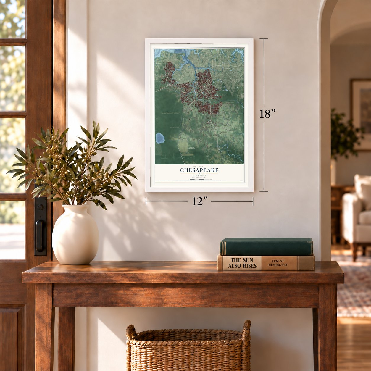
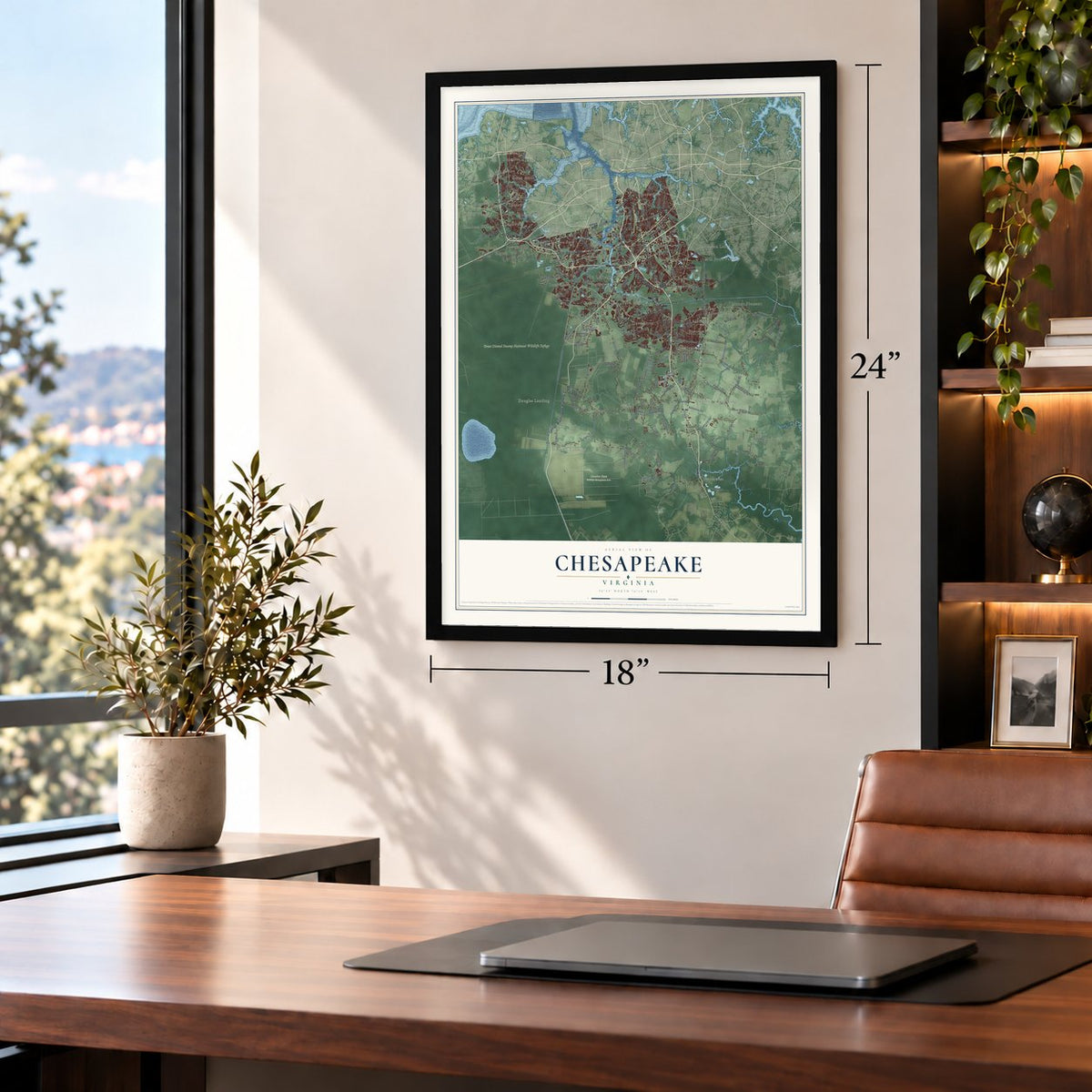
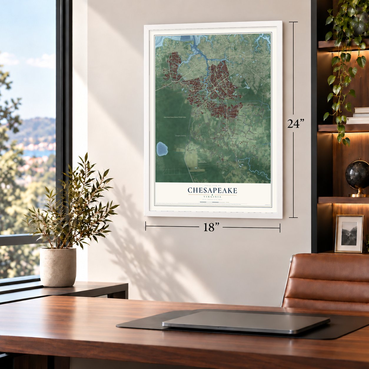
Chesapeake, Virginia Map Art
A new map of Chesapeake, Virginia, made in 2026 and printed to order on thick archival matte paper.
12" x 18" Archival Matte Print
A Map of Home. A Work of Art.
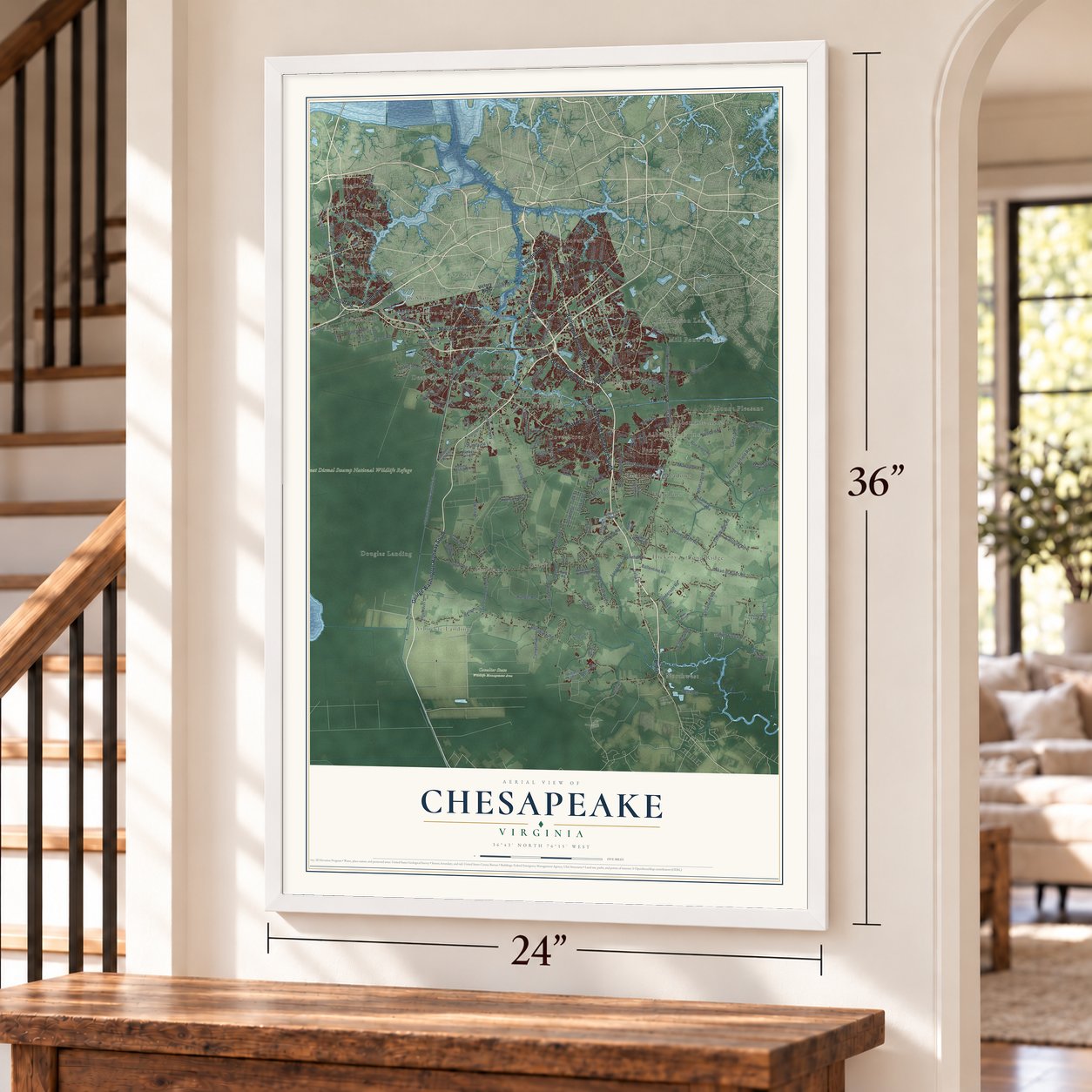
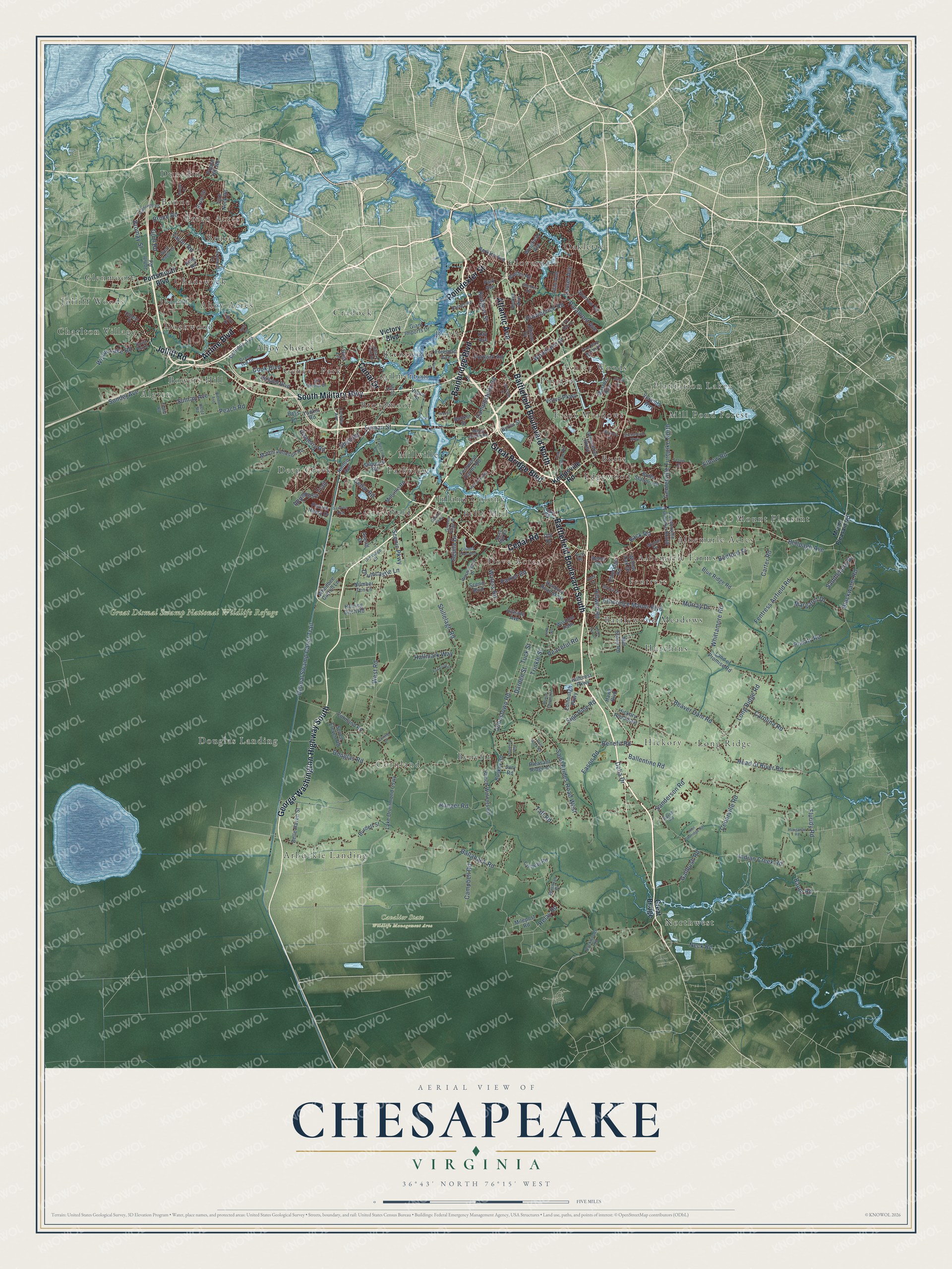
Explore Chesapeake, Virginia from a whole new perspective. Created using aerial imagery and detailed geographic data, this map captures Chesapeake building by building, with labeled streets, familiar landmarks, and shaded topographical relief that highlights the natural contours of the landscape.
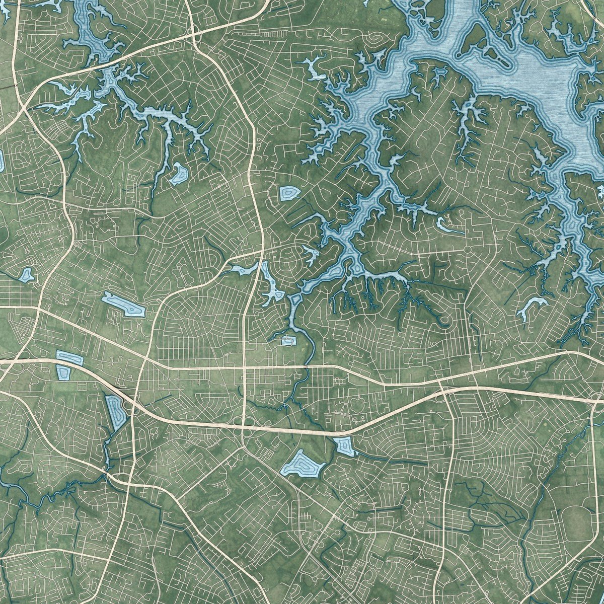
Combining modern data with the timeless character of a vintage atlas, this map is just as interesting up close as it is beautiful on the wall. Whether you grew up in Chesapeake, spent memorable years there, or call it home today, this unique map is a great way to celebrate a place that means something to you. Zoom in on the preview to look for your street, and then order a print to put your memories on the wall.
Three ways to hang it
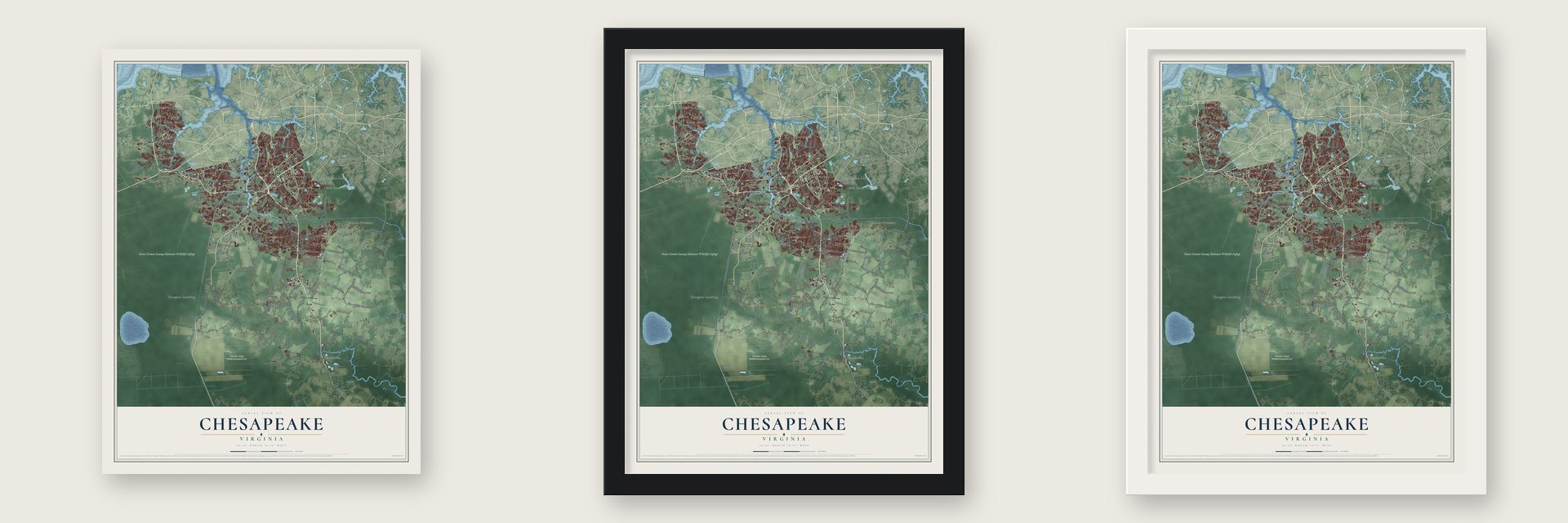
Unframed archival matte, a black wood frame or a white wood frame.
Up close
Geography Worth Displaying
This map was created using accurate cartographic data and authoritative geographic sources, including the U.S. Geological Survey and the Census Bureau. The map brings together terrain, waterways, roads, and building detail. The majority of the streets are labeled, houses are accurately depicted, and the topography is derived from government sources. Combining local data with carefully composed color and shading leads to this beautifully detailed Chesapeake artwork for your wall.
Rather than simply showing street outlines, we’ve included as many of the street names as we could reasonably fit on the map while keeping their names legible. Zoom in on the high resolution preview to see exactly what’s on the map. We truly set out to create a statement piece for anyone who loves Chesapeake. So whether it’s for you, or a gift for someone you love, we hope this map of Chesapeake brings back fond memories.
Read the story behind this map of Chesapeake, Virginia from 2026.
About Chesapeake, Virginia
Chesapeake is a city of 249,422 people in South Hampton Roads, reaching from the North Carolina line north to the harbor. Its land was once Norfolk County, formed in 1691 in the Virginia Colony, which took in the ground that became Norfolk, Portsmouth and South Norfolk. After 1871 those cities kept annexing county land. South Norfolk became a town in 1919 and an independent city in 1922, and by the late 1950s it was close to losing nearly all the county land around it to a Norfolk annexation suit.
Since one city could not annex land from another, a merger offered a way to fix the borders for good. Voters in South Norfolk and Norfolk County approved it and picked the name Chesapeake by referendum, the General Assembly gave its approval, and the new city was born in 1963. For years most residents worked in Norfolk or Virginia Beach. Then, from the late 1980s through the 1990s, industries and businesses moved in and the city grew fast.
- Battle of Great Bridge, 1775On December 9, 1775, early in the Revolutionary War, a battle was fought at Great Bridge, where the locks now link the Southern Branch of the Elizabeth River with the Chesapeake and Albemarle Canal. The fight drove Lord Dunmore out and ended English rule in Virginia.
- Washington's DitchGeorge Washington helped survey the route of the Dismal Swamp Canal. It leaves the Southern Branch of the Elizabeth River at Deep Creek and follows U.S. 17 south to Elizabeth City, North Carolina. After more than 230 years of service, no man-made canal in the country has been in use longer.
- The Piast colony at SunrayThe Piast colony took its name from Poland's first royal dynasty. Later it came to be known as Sunray, the name of a depot the Virginia Railway Company opened there in 1910.
Find your street
Names on the Chesapeake map
Every name below is printed on this map. Look for your street, your school, the park where you played, or the pond down the road.
Places and landmarks51
- Cavalier State Wildlife Management Area
- Great Dismal Swamp National Wildlife Refuge
- Ahoy Acres
- Ahoy Shores
- Albemarle Acres
- Albemarle Farms
- Algren
- Arbuckle Landing
- Ashley Woods
- Battlewood Meadows
- Bells Mill
- Benefit
Show all 51 places
- Boone
- Bowers Hill
- Brentwood
- Broadmoor
- Bruce
- Buell
- Butts
- Chadswyck
- Charlton Village
- Cloverdale
- Cornland
- Cradock
- Deep Creek
- Dockwood
- Douglas Landing
- Dove Acres
- Dunedin
- Edgewood
- Essex Meadows
- Fentress
- Geneva Park
- Gilmerton
- Glenmoore
- Grassfield
- Green Acres
- Hickory
- Hutchins
- Inland Colony
- Jolliff
- Jolliff Woods
- Long Ridge
- Mill Pond Forest
- Millville
- Mount Pleasant
- Northwest
- Oaklette
- Parkview
- Pinetta
- Plantation Lakes
Streets and roads209
- South Military Highway
- George Washington Highway South
- Battlefield Boulevard North
- Poindexter Street
- Airline Boulevard
- Battlefield Boulevard South
- Jolliff Road
- Bainbridge Boulevard
- Cedar Road
- Great Bridge Boulevard
- Atlantic Avenue
- Canal Drive
- Campostella Road
- Ballahack Road
- Dismal Swamp Canal Trail
- Benefit Road
- Shillelagh Road
- West Road
- Johnstown Road
- Indian Creek Road
- Saint Brides Road West
- Sanderson Road
- Fentress Airfield Road
- Long Ridge Road
- Head of River Road
- Volvo Parkway
- Taylor Road
- Ranger Road
- Elbow Road
- Taft Road
Show all 209 streets
- Waters Road
- Douglas Road
- Shell Road
- Pocaty Road
- Centerville Turnpike North
- Beaver Dam Road
- Whittamore Road
- Scenic Parkway
- Cedarville Road
- Blackwater Road
- Sondej Avenue
- Bruce Road
- Galberry Road
- Etheridge Manor Boulevard
- Hillwell Road
- Providence Road
- Gum Road
- Eason Road
- Carolina Road
- Parker Road
- Rodgers Street
- Peach Road
- Trinkle Street
- Neck Road
- Gallbush Road
- Campbell Road
- Appaloosa Trail
- Laurel Avenue
- Sign Pine Road
- Darden Street
- Bedford Street
- Tuck Street
- Sunray Avenue
- Relay Road
- Margaret Drive
- Peaceful Road
- Carter Road
- Murray Drive
- Paramont Avenue
- Bellpage Avenue
- Hallmark Way
- Ballentine Road
- Willow Lake Road
- Cook Boulevard
- Drumcastle Lane
- Saddlehorn Drive
- Fluridy Road
- Woodlake Drive
- Firman Street
- Bromay Street
- Back Road
- Aguila Drive
- Baum Road
- Delia Drive
- Portsmouth Boulevard
- Great Bridge
- Kempsville Road
- Victory Boulevard
- Border Road
- Centerville Turnpike South
- Land of Promise Road
- Greenbrier Parkway
- Bunch Walnuts Road
- Sparrow Road
- Blue Ridge Road
- Shipyard Road
- Ring Road
- Hillcrest Parkway
- Butts Station Road
- Cornland Road
- Martin Johnson Road
- Lake Drummond Causeway
- Millville Road
- Rotunda Avenue
- Berkley Avenue
- Number Ten Lane
- Yadkin Road
- Fernwood Farms Road
- Freeman Avenue
- Edinburgh Parkway
- Wingfield Avenue
- Willow Oak Drive
- Etheridge Road
- Mill Stone Road
- Conway Road
- Wisdom Path
- Hanbury Road West
- Seven Eleven Road
- Tyre Neck Road
- Bruin Drive
- Milepost Road
- Holland Boulevard
- Whedbee Carroll Lane
- Belle Haven Street
- Portlock Road
- Buskey Road
- Lilac Avenue
- Herring Ditch Road
- Old Drive
- Byron Street
- Pleasant Ridge Drive
- Park Avenue
- Hickory Road East
- Booker Street
- Giant Imports Drive
- Patrick Henry Drive
- Scenic Boulevard
- Burdett Street
- Veranda Way
- Hawk Boulevard
- Hillside Avenue
- Masters Row
- Poplar Hill Road
- Vicker Avenue
- Allison Drive
- Rebel Road
- Averill Drive
- Kay Avenue
- Hinton Avenue
- Jury Road
- Vepco Street
- Gust Lane
- Bass Lane
- Mount Pleasant Road
- Washington Drive
- Bells Mill Road
- Oak Grove Road
- Gloria Drive
- Grand Isle Drive
- Sir Meliot Drive
- Trailsend Lane
- West Bugle Drive
- Fenway Avenue
- Barnes Road
- Truitt Road
- Backwoods Road
- Condor Drive
- Mains Creek Road
- Ahoy Drive
- Winfall Drive
- Lakewood Lane
- Dressage Court
- Greens Edge Drive
- Savannah Drive
- Hertz Road
- Locks Road
- Shelter Road
- Raven Road
- Teton Court
- State Street
- Arch Road
- Country Club Boulevard
- Pughsville Road
- McCosh Drive
- River Birch Run North
- Battery Park Road
- Biernot Avenue
- Marina Reach
- Shenandoah Parkway
- Hungarian Road
- John Etheridge Road
- Simon Drive
- Prince Edward Drive
- Live Oak Drive
- Foxwood Drive
- Sawyers Arch
- Bangor Drive
- Tiki Way
- Norcova Drive
- Pine Forest Lane
- Gray Rock Road
- Buell Street
- Davids Mill Drive
- Cahoon Parkway
- Precon Drive
- Curling Court
- Darby Run Drive
- Ewell Lane
- Spar Street
Names are listed as they appear on the printed map. Zoom into the product photos to find them.
The art of mapping a place
How This Map Was Made
Real places. Remarkable detail. Discover the layers that turn geographic data into a map of home.

The view from above
Aerial imagery reveals the character of the land: woodland, open fields, and the patterns of a place.

The shape of the land
Elevation data brings hills, valleys, and subtle changes in the landscape into view.

The details of home
Roads, waterways, and building footprints come together to make the map feel unmistakably local.

Geography becomes art
Considered color, shading, and typography bring the layers together in a map made for your wall.


Process illustrated with Mendon, Massachusetts. Aerial imagery: USDA NAIP. Terrain: USGS 3D Elevation Program. Map details and finished artwork: KNOWOL.
The Details
About This Print
Choose an archival matte print, or a black or white Ayous wood frame. The archival matte print is unframed.
Select your size and finish above to see the matching product image and price.
Materials & Craftsmanship
A contemporary map with the character of a classic atlas, printed on archival matte paper. Optional frames are made from Ayous wood.
Your printed map does not include the watermark shown in the full-map preview.
Shipping & Delivery
Free shipping within the United States. Every print is made to order in the USA.
Buying a gift? Add a note in your cart and we'll include it. We never put prices in the package.
Prints ship within 2 to 3 business days. Allow 7 to 10 days total from ordering for delivery. Timing may vary during holidays or periods of high order volume.
Read our shipping policy.
Returns and damaged prints
Each print is made to order. Change-of-mind refunds are not available after production.
If your print arrives damaged, misprinted or incorrect, contact support@knowol.com within 30 days of receiving it. Include your order number, photos and a description of the issue.
Read our full refund and replacement policy. For questions about your order, email support@knowol.com.
Find your town
Looking for another city?
Find a map of home in our Virginia collection, or any town in the country.
Nearby
Maps of towns near Chesapeake
Know someone from one of these towns? Their map makes a great gift.
 Portsmouth
, Virginia
From $39.99See the map
 Virginia Beach
, Virginia
From $39.99See the map
 Norfolk
, Virginia
From $39.99See the map
More maps nearby: Suffolk, Carrollton, Benns Church, Hampton and Windsor.