
Search for another town




Free U.S. delivery 7 to 10 days after you order
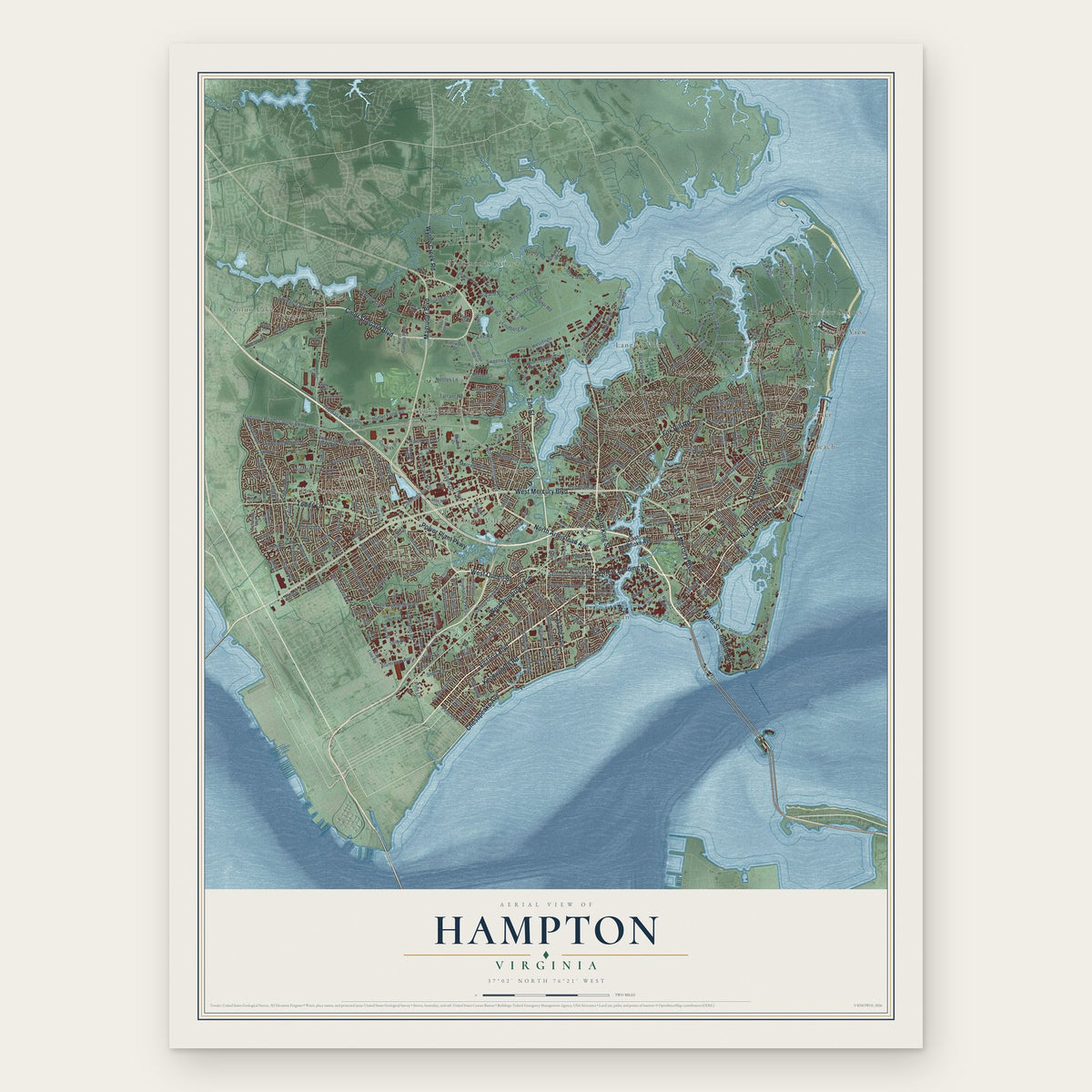
Hampton, Virginia Map Art
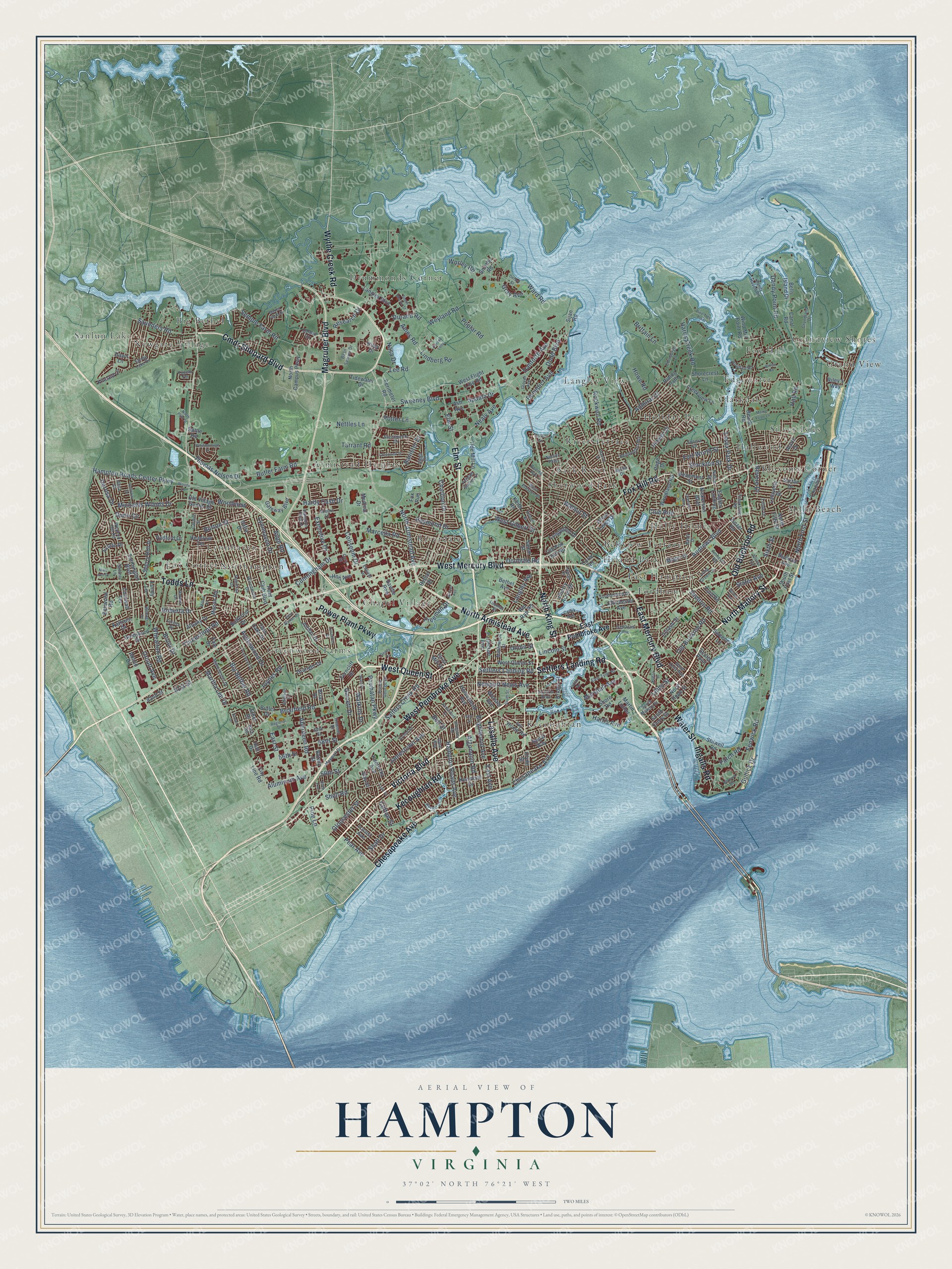
A new map of Hampton, Virginia, made in 2026 and printed to order on thick archival matte paper.
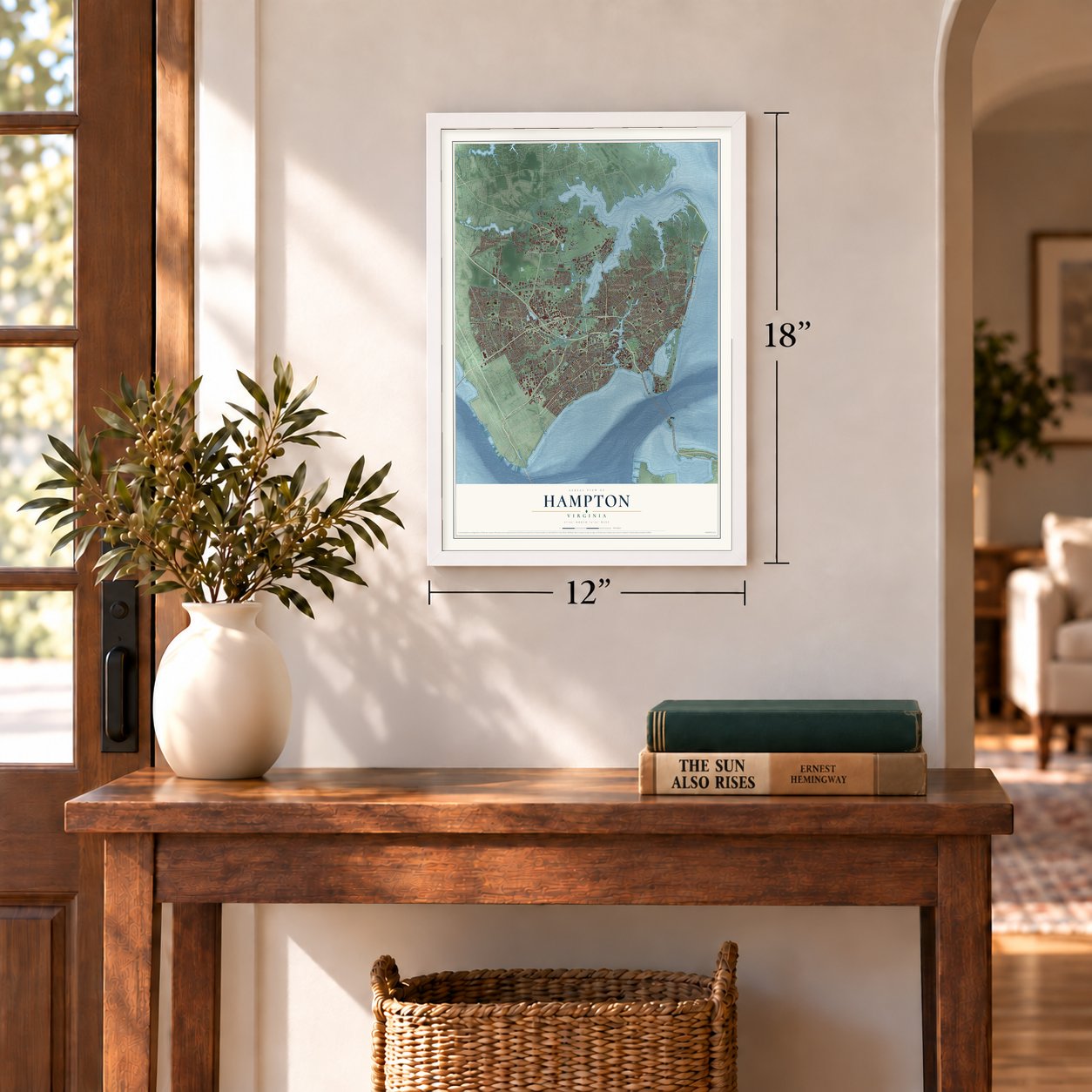
12" x 18" Archival Matte Print
A Map of Home. A Work of Art.
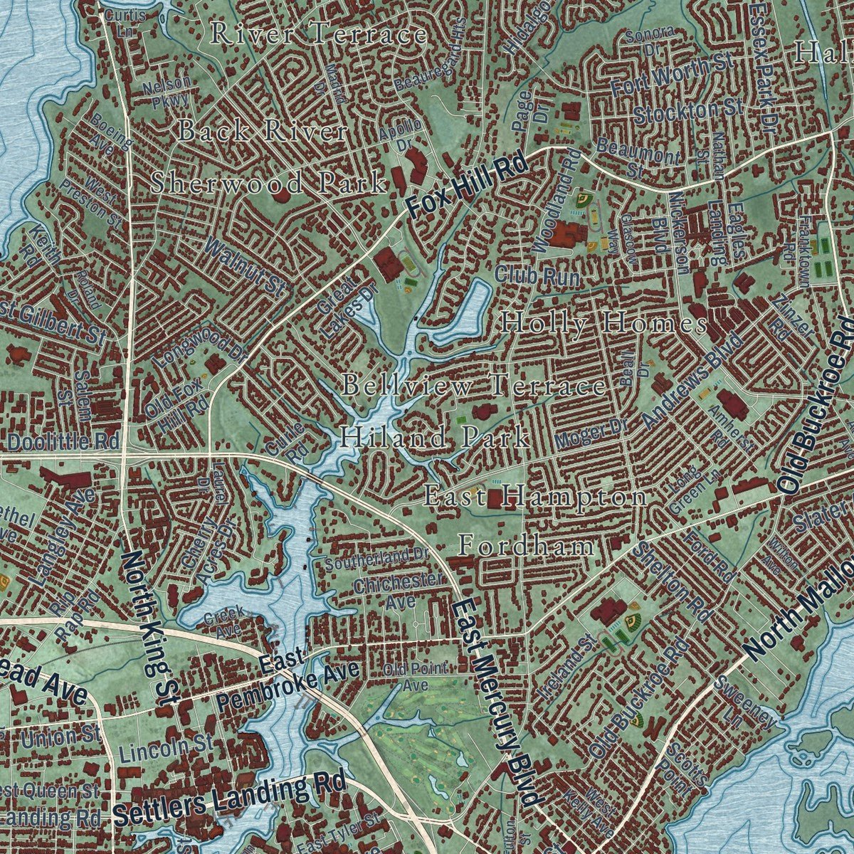
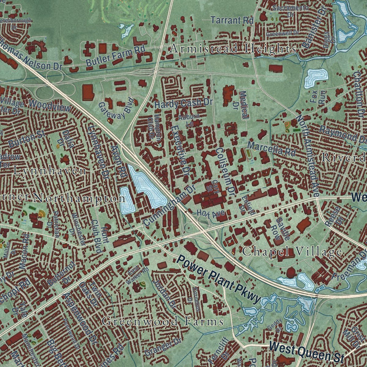
Explore Hampton, Virginia from a whole new perspective. Created using aerial imagery and detailed geographic data, this map captures Hampton building by building, with labeled streets, familiar landmarks, and shaded topographical relief that highlights the natural contours of the landscape.
Combining modern data with the timeless character of a vintage atlas, this map is just as interesting up close as it is beautiful on the wall. Whether you grew up in Hampton, spent memorable years there, or call it home today, this unique map is a great way to celebrate a place that means something to you. Zoom in on the preview to look for your street, and then order a print to put your memories on the wall.
Three ways to hang it
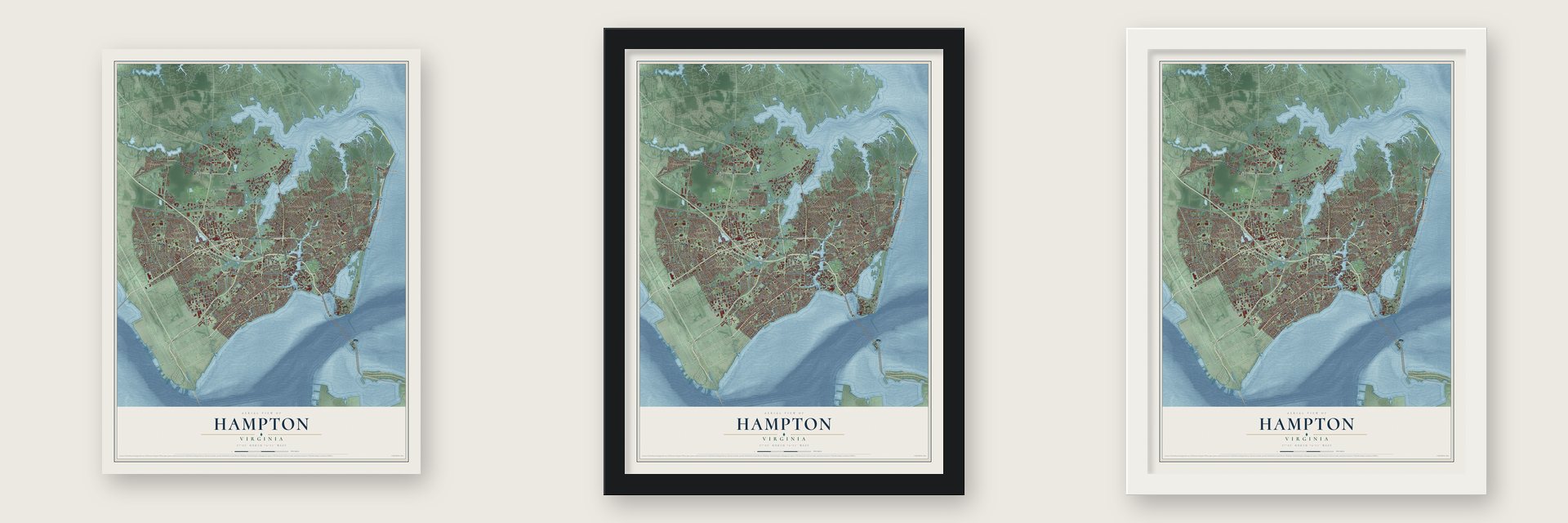
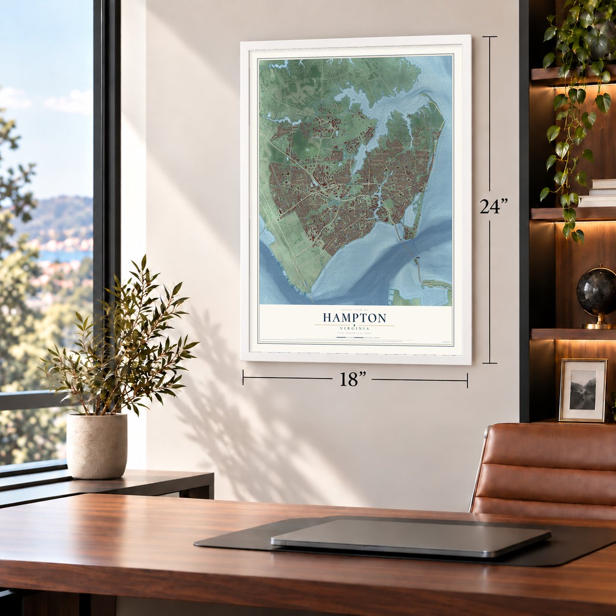
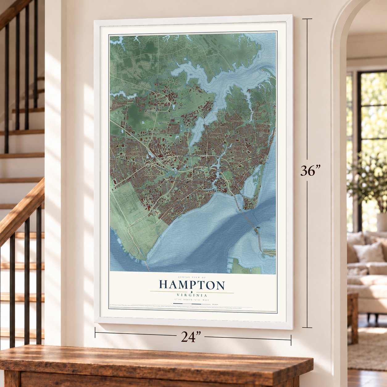
Unframed archival matte, a black wood frame or a white wood frame.
Up close
Geography Worth Displaying
This map was created using accurate cartographic data and authoritative geographic sources, including the U.S. Geological Survey and the Census Bureau. The map brings together terrain, waterways, roads, and building detail. The majority of the streets are labeled, houses are accurately depicted, and the topography is derived from government sources. Combining local data with carefully composed color and shading leads to this beautifully detailed Hampton artwork for your wall.
Rather than simply showing street outlines, we’ve included as many of the street names as we could reasonably fit on the map while keeping their names legible. Zoom in on the high resolution preview to see exactly what’s on the map. We truly set out to create a statement piece for anyone who loves Hampton. So whether it’s for you, or a gift for someone you love, we hope this map of Hampton brings back fond memories.
Read the story behind this map of Hampton, Virginia from 2026.

About Hampton, Virginia
Hampton is an independent city of 137,148 people on the shores of Hampton Roads. In 1607 English explorers led by Christopher Newport named Point Comfort, at the city's tip, only weeks before they founded Jamestown. On July 9, 1610, colonists under Governor Sir Thomas Gates seized the Native community of Kecoughtan near the mouth of the Hampton River. They built their own small town there, with an Anglican church now known as St. John's.
Its name honors Henry Wriothesley, the 3rd Earl of Southampton, who was a leader of the Virginia Company of London. It was called Hampton by 1680, became a town in 1705 and served as the seat of Elizabeth City County. Hampton became a city in 1849 and broke away from the county on March 30, 1908, though it stayed the county seat. On July 1, 1952, after voters in each place approved it, the city, the town of Phoebus and Elizabeth City County joined to form one city of Hampton.
“Nearby a monument marks the site of the second church at Kecoughtan (later Hampton), built in 1624 for Elizabeth City Parish, established 1610 and now the oldest Protestant parish in continuous existence in America.”
- Point Comfort, August 1619Late in August 1619 the privateer White Lion, under Captain John Colyn Jope, brought about 20 enslaved Africans from Angola to Point Comfort. Its crew had taken them from a Portuguese slave ship. No earlier record shows slaves from Africa arriving in the Thirteen Colonies, and John Rolfe wrote that he saw them arrive. Two of them, Anthony and Isabella, had a child baptized in January 1624.
- Fort Monroe, finished 1834The British captured the fort at Old Point Comfort in 1813, during the War of 1812. Afterward the U.S. Army built a stronger stone fort, named for President James Monroe and finished in 1834, the biggest stone fort the United States ever built. It stayed in Union hands through the Civil War and later held Jefferson Davis prisoner. The Army left on September 15, 2011, and President Barack Obama made it a National Monument on November 1.
- The Grand Contraband CampRetreating Confederates left Hampton in ruins in 1861. Escaped slaves who had reached Union protection at Fort Monroe built the Grand Contraband Camp from those ruins. No African American community anywhere in the nation had been self-contained before it. Some Hampton streets still carry names from the camp. Efforts to teach its people led in time to Hampton University, home of the Emancipation Oak.
- Langley, built for air powerLangley Air Force Base was the country's first military post devoted only to air power, and NASA's Langley Research Center also grew up in Hampton. During the Vietnam War, Langley was a waiting base, and thousands of Air Force families moved to Hampton while husbands and fathers served overseas.
- Virginia's first free county libraryThe Hampton Public Library opened in 1926, and no county in Virginia had offered a free library before it. Today it runs a main library and three branches.
Find your street
Names on the Hampton map
Every name below is printed on this map. Look for your street, your school, the park where you played, or the pond down the road.
Places and landmarks31
- Armistead Heights
- Back River
- Bellview Terrace
- Big Bethel
- Bloxoms Corner
- Chapel Village
- Clarkdale
- Drummonds Corner
- East Hampton
- Edgewater
- Fordham
- Fox Corner
Show all 31 places
- Fox Hill
- Grand View
- Grandview Shores
- Greenwood Farms
- Hallwood
- Hiland Park
- Holiday Park
- Holly Homes
- Kecoughtan
- Langley View
- Lynnhaven
- Malo Beach
- Newgate Village
- Northampton
- River Terrace
- Riverdale
- Sanlun Lake
- Sherwood Park
- Silver Isles
Streets and roads322
- North Armistead Avenue
- Victoria Boulevard
- Lasalle Avenue
- East Mercury Boulevard
- North Mallory Street
- Kecoughtan Road
- West Queen Street
- Power Plant Parkway
- Settlers Landing Road
- Chesapeake Avenue
- Elm Street
- Cmdr Shepard Boulevard
- Fox Hill Road
- North King Street
- Old Buckroe Road
- Water Street
- Magruder Boulevard
- Ingalls Road
- West Pembroke Avenue
- West Mercury Boulevard
- Todds Lane
- Wythe Creek Road
- Harris Avenue
- Pear Avenue
- Sixth Street
- Marshall Avenue
- Aberdeen Road
- Briarfield Road
- Big Bethel Road
- Powhatan Parkway
Show all 322 streets
- Nealy Avenue
- Shatt Drive
- Butler Farm Road
- Semple Farm Road
- Watkins Drive
- Freeman Drive
- Union Street
- Hampton Roads Center Parkway
- Andrews Boulevard
- Shell Road
- Coliseum Drive
- Harris Creek Road
- Orcutt Avenue
- Fenwick Road
- Cunningham Drive
- Sweeney Boulevard
- Charlton Drive
- Hall Road
- Marcella Road
- Fort Worth Street
- Martha Lee Drive
- Whealton Road
- Lee Road
- Ward Road
- Gullick Drive
- Dodd Boulevard
- Dunn Circle
- Newport News Avenue
- North First Street
- Weyland Road
- Threechopt Road
- Salters Creek Road
- Doolittle Road
- Algonquin Road
- Aspenwood Drive
- Michaels Woods Drive
- Thomas Nelson Drive
- Executive Drive
- Dandy Point Road
- Hampton Roads Avenue
- Lynnhaven Drive
- Rockwell Road
- Joynes Road
- Lincoln Street
- Saunders Road
- 56th Street
- Langley Avenue
- 58th Street
- Burton Street
- Research Drive
- East Street
- Roberta Drive
- Stockton Street
- Durand Road
- Brittain Lane
- Nettles Lane
- Worley Road
- Brightwood Avenue
- Banister Drive
- 81st Street
- Walnut Street
- Howe Road
- Libby Street
- Jamestown Avenue
- West Gilbert Street
- Raymond Drive
- Patch Road
- Derosa Drive
- Hardy Cash Drive
- Shelton Road
- Essex Park Drive
- Gloucester Street
- Garrett Drive
- Admiral Court
- Woodview
- Aluminum Avenue
- Danforth Avenue
- Poplar Road
- Benedict Avenue
- 50th Street
- Lindberg Road
- Ames Road
- Potter Lane
- Tarrant Road
- Spaatz Drive
- Slater Avenue
- Bell Street
- Pine Lane
- Revere Drive
- East Avenue
- Nasa Drive
- Club Run
- Gray Avenue
- Brout Drive
- Clifton Street
- Avon Road
- East Pembroke Avenue
- West Flight Line Road
- Shore Road
- Cherry Acres Drive
- Langley Boulevard
- Woodland Road
- Martin Luther
- Beach Road
- Nickerson Boulevard
- Gateway Boulevard
- Tide Mill Lane
- Hunt Club Boulevard
- Wind Mill Point Road
- Ivy Home Road
- Perimeter Road
- Albany Drive
- Farmington Boulevard
- North Campus Parkway
- Ireland Street
- Medical Drive
- Stilwell Road
- Rip Rap Road
- Sijan Road
- Bells Island Drive
- Old Village Gunter Drive
- Bellwood Road
- Jordan Drive
- Tidewater Drive
- Buckroe Avenue
- Kenmore Drive
- Butternut Drive
- City Line Road
- North Fifth Street
- Headrow Terrace
- Homestead Avenue
- Bethel Avenue
- Locust Avenue
- Creekview Lane
- Longwood Drive
- North Hope Street
- Sherry Dell Drive
- Twin Oaks Drive
- Patterson Avenue
- Riding Path
- Goldsboro Drive
- 82nd Street
- Rotary Street
- Battle Road
- Beaumont Street
- Estate Drive
- South First Street
- Kentucky Avenue
- Hidalgo Drive
- Chichester Avenue
- Smythe Road
- Abaco Drive
- Shorecrest Lane
- Alaric Drive
- Bridge Street
- Salem Street
- Canal Road
- Cornwall Terrace
- Keith Road
- South Curry Street
- Granger Drive
- Ash Avenue
- Ferncliff Drive
- Old Fox Hill Road
- Radford Drive
- Worster Avenue
- Kincaid Lane
- Lafayette Drive
- Moger Drive
- Eagles Landing
- Macon Road
- Saville Row
- Riley's Way
- Channel Lane
- Kathann Drive
- Dafia Drive
- Day Street
- Sweeney Lane
- Holt Avenue
- Great Lakes Drive
- Page Drive
- Zinzer Road
- Ford Road
- Sarfan Drive
- Briar Drive
- Regal Way
- Clyde Street
- Riley Drive
- Grist Mill Drive
- Butler Drive
- Curle Road
- Lundy Lane
- Reese Drive
- Dawn Lane
- Scotts Point
- Ethel Drive
- Yale Drive
- Fox Run
- Hull Drive
- South Mallory Street
- Apollo Drive
- Sacramento Drive
- Winchester Drive
- Patrician Drive
- Old Point Avenue
- Grundland Drive
- Beall Drive
- Diggs Drive
- Prince George Drive
- Sandy Lake Drive
- Thomas Street
- Basil Sawyer Drive
- Beauregard Heights
- Tupelo Circle
- Maplewood Street
- Amherst Road
- Dandy Haven Road
- Hampton Club Drive
- Edinburgh Lane
- Glover Avenue
- Manchester Drive
- Nathan Street
- Southerland Drive
- East Tyler Street
- Baker Farm Drive
- Enfield Drive
- 60th Street
- Maxwell Drive
- Howmet Drive
- Downer Lane
- Pelican Shores Drive
- West Kelly Avenue
- Routten Road
- Cary Street
- Franktown Road
- Addison Court
- Harwin Drive
- West Preston Street
- Wexford Hill Road
- Laurel Drive
- Corwin Circle
- Long Green Lane
- Nelson Parkway
- Auburn Lane
- Fields Drive
- Sonora Drive
- Cardiff Street
- Teresa Drive
- Boeing Avenue
- Glica Court
- Dare Avenue
- Hare Road
- Creek Avenue
- Curtis Lane
- Atlantic Avenue
- Alleghany Road
- Wellington Drive
- Bernard Road
- Pennwood Drive
- Ward Drive
- Glascow Way
- Madrid Drive
- Greenwell Drive
- Woods Lane
- Harbor Drive
- Durand Loop
- Roland Drive
- Rutherford Street
- Ryland Road
- South Marvin Street
- Monte Volpe Lane
- Peterborough Drive
- Holloway Drive
- Cornelius Drive
- Fulton Street
- Willow Road
- South Street
- Milton Drive
- Mercer Avenue
- Mary Ann Drive
- East Walker Road
- Pine Tree Point
- Birch Avenue
- Regional Drive
- Indian Road
- Deford Street
- Wilton Avenue
- Tabb Street
- Geddy Drive
- Bowen Drive
- North Park Drive
- Vine Street
Names are listed as they appear on the printed map. Zoom into the product photos to find them.
The art of mapping a place
How This Map Was Made
Real places. Remarkable detail. Discover the layers that turn geographic data into a map of home.

The view from above
Aerial imagery reveals the character of the land: woodland, open fields, and the patterns of a place.

The shape of the land
Elevation data brings hills, valleys, and subtle changes in the landscape into view.

The details of home
Roads, waterways, and building footprints come together to make the map feel unmistakably local.

Geography becomes art
Considered color, shading, and typography bring the layers together in a map made for your wall.


Process illustrated with Mendon, Massachusetts. Aerial imagery: USDA NAIP. Terrain: USGS 3D Elevation Program. Map details and finished artwork: KNOWOL.
The Details
About This Print
Choose an archival matte print, or a black or white Ayous wood frame. The archival matte print is unframed.
Select your size and finish above to see the matching product image and price.
Materials & Craftsmanship
A contemporary map with the character of a classic atlas, printed on archival matte paper. Optional frames are made from Ayous wood.
Your printed map does not include the watermark shown in the full-map preview.
Shipping & Delivery
Free shipping within the United States. Every print is made to order in the USA.
Buying a gift? Add a note in your cart and we'll include it. We never put prices in the package.
Prints ship within 2 to 3 business days. Allow 7 to 10 days total from ordering for delivery. Timing may vary during holidays or periods of high order volume.
Read our shipping policy.
Returns and damaged prints
Each print is made to order. Change-of-mind refunds are not available after production.
If your print arrives damaged, misprinted or incorrect, contact support@knowol.com within 30 days of receiving it. Include your order number, photos and a description of the issue.
Read our full refund and replacement policy. For questions about your order, email support@knowol.com.
Find your town
Looking for another city?
Find a map of home in our Virginia collection, or any town in the country.
Nearby
Maps of towns near Hampton
Know someone from one of these towns? Their map makes a great gift.
 Poquoson
, Virginia
From $39.99See the map
 Bethel Manor
, Virginia
From $39.99See the map
 Norfolk
, Virginia
From $39.99See the map
More maps nearby: Newport News, Portsmouth, Carrollton, Benns Church and Yorktown.