
Search for another town




Free U.S. delivery 7 to 10 days after you order
Newport News, Virginia Map Art
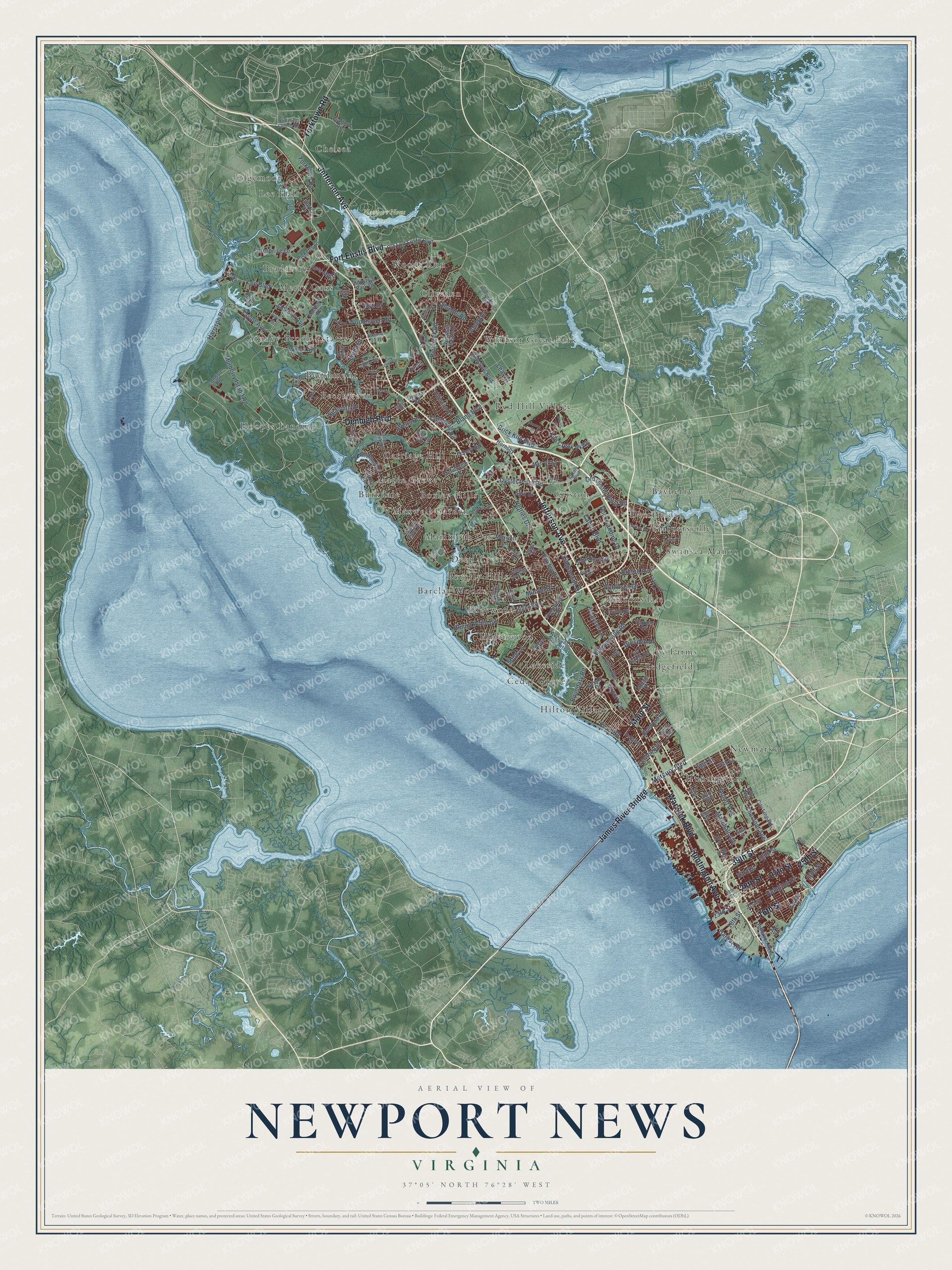
A new map of Newport News, Virginia, made in 2026 and printed to order on thick archival matte paper.
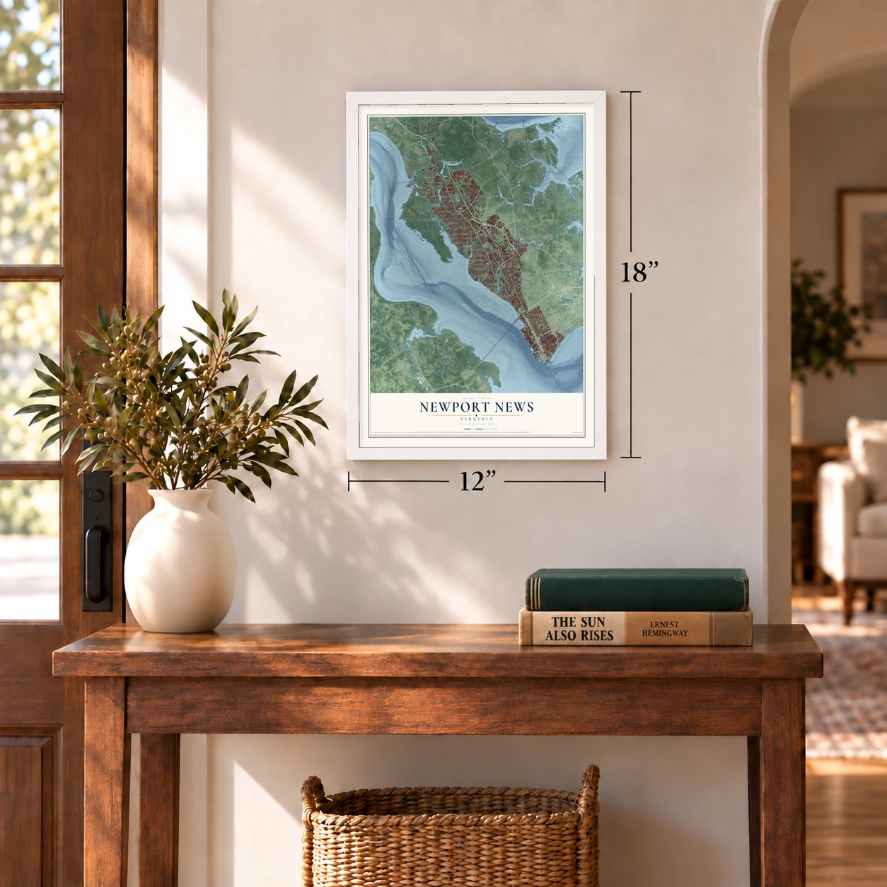
12" x 18" Archival Matte Print
A Map of Home. A Work of Art.
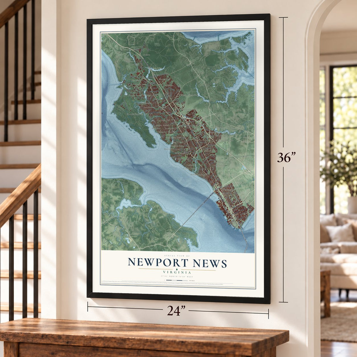
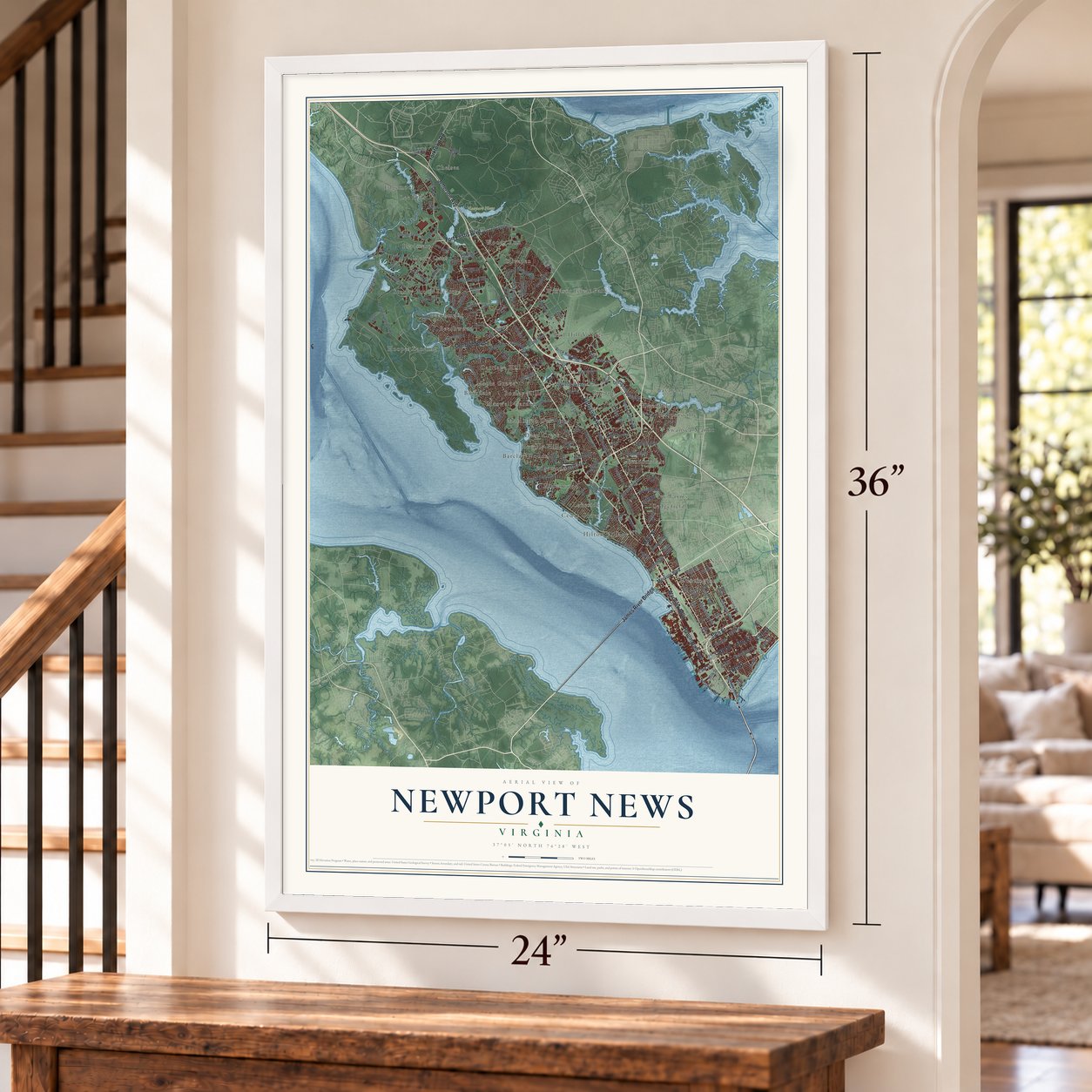
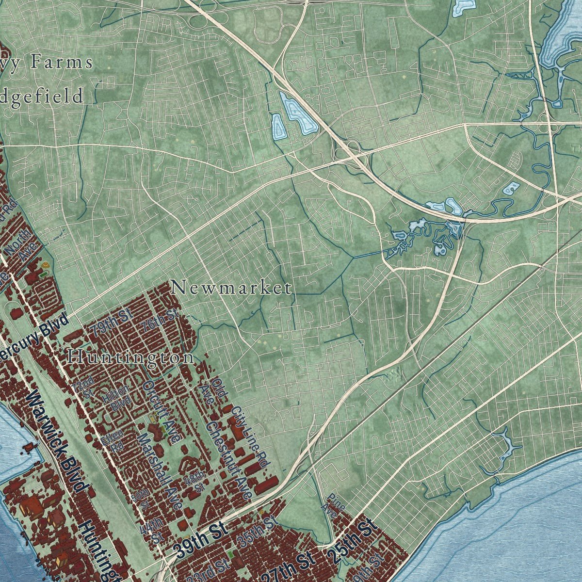
Explore Newport News, Virginia from a whole new perspective. Created using aerial imagery and detailed geographic data, this map captures Newport News building by building, with labeled streets, familiar landmarks, and shaded topographical relief that highlights the natural contours of the landscape.
Combining modern data with the timeless character of a vintage atlas, this map is just as interesting up close as it is beautiful on the wall. Whether you grew up in Newport News, spent memorable years there, or call it home today, this unique map is a great way to celebrate a place that means something to you. Zoom in on the preview to look for your street, and then order a print to put your memories on the wall.
Three ways to hang it
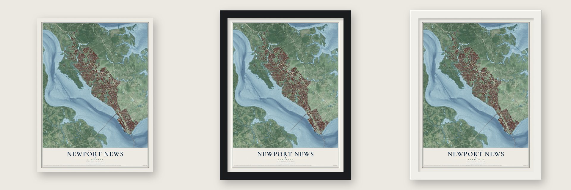
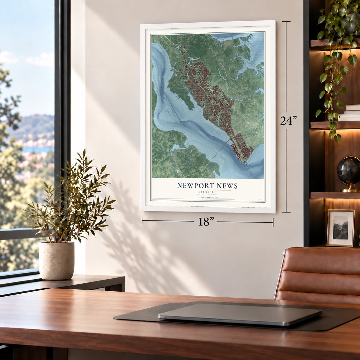
Unframed archival matte, a black wood frame or a white wood frame.
Up close
Geography Worth Displaying
This map was created using accurate cartographic data and authoritative geographic sources, including the U.S. Geological Survey and the Census Bureau. The map brings together terrain, waterways, roads, and building detail. The majority of the streets are labeled, houses are accurately depicted, and the topography is derived from government sources. Combining local data with carefully composed color and shading leads to this beautifully detailed Newport News artwork for your wall.
Rather than simply showing street outlines, we’ve included as many of the street names as we could reasonably fit on the map while keeping their names legible. Zoom in on the high resolution preview to see exactly what’s on the map. We truly set out to create a statement piece for anyone who loves Newport News. So whether it’s for you, or a gift for someone you love, we hope this map of Newport News brings back fond memories.
Read the story behind this map of Newport News, Virginia from 2026.

About Newport News, Virginia
Newport News is an independent city of 186,247 people on the north shore of the James River, where the river reaches the harbor of Hampton Roads. Most of its land once lay in Warwick County, which grew out of one of Virginia's eight original shires. Until after the Civil War, the area held only plantations and a small fishing village. That changed when Collis P. Huntington, a California railroad man, chose it as the port for West Virginia coal, and his agents began buying land here in 1865.
Huntington's Chesapeake and Ohio Railway built a line down the peninsula from Richmond, and coal piers rose on the harbor. On October 19, 1881, the first train ever to leave Newport News pulled out of Lee Hall Depot on temporary tracks, bound for the Cornwallis Surrender Centennial Celebration at Yorktown. Thousands of workers followed the railroad and the shipyard, and a building boom brought the Hotel Warwick, churches, banks and a newspaper. Newport News became an independent city on January 16, 1896, with Walter A. Post as its first mayor, and in 1958 voters merged it with the city of Warwick.
- A name from 1621Newportes Newes appears as early as 1621, the oldest city name of English origin in the Americas, but its source is uncertain. The best-known story says Jamestown colonists fleeing the Starving Time of 1609 to 1610 on one of Captain Christopher Newport's ships met a new governor's supply fleet and were sent back: Newport's good news. The post office used New Port News from 1851 and Newport News from 1866.
- Battleships for the Great White FleetHuntington's next venture was a shipyard, called Newport News Shipbuilding & Dry Dock Co. from 1890. It was meant to move goods from rail to sea, but Navy work soon took over. When President Theodore Roosevelt sent the Great White Fleet around the world in 1907, the yard had built seven of its 16 battleships, and it later grew into the world's largest shipyard.
- Hilton Village, 1917In 1917 a Navy contract brought thousands of new shipyard workers, and the city soon ran short of housing. To keep the war work moving, Congress paid for the first planned community ever built by the government: 473 homes in the style of an English village, now the Hilton Village neighborhood.
- The Mariners' MuseumArcher M. Huntington, son of Collis, and his wife, the sculptor Anna Hyatt Huntington, began building the Mariners' Museum in 1932. Along the way they created a natural park and Mariners' Lake, and the museum grew into one of the largest maritime museums anywhere.
Find your street
Names on the Newport News map
Every name below is printed on this map. Look for your street, your school, the park where you played, or the pond down the road.
Places and landmarks38
- Newport News Park
- Barclay Woods
- Bayberry
- Beaconsdale
- Beechmont
- Beechwood
- Beverly Hills
- Boxley Hills
- Bradmere
- Burkdale
- Carriage Hill
- Cedar Grove
Show all 38 places
- Chelsea
- Cliveden
- Criston
- Deep Creek
- Deerfield
- Edgemoor
- Edgewood
- Harpersville
- Hidenwood
- Hilton Village
- Hoopes Landing
- Huntington
- Ivy Farms
- Lakeside
- Lee Hall
- Mammoth Oak
- Maple Grove
- Maxwell Garden
- Merry Oaks
- Newmarket
- Red Hill Village
- Sedgefield
- Stoney Brook Estates
- Swansea Manor
- Windsor Great Park
- Woods Run
Streets and roads152
- Jefferson Avenue
- 27th Street
- 28th Street
- 16th Street
- James River Bridge
- Warwick Boulevard
- Denbigh Boulevard
- Fort Eustis Boulevard
- Huntington Avenue
- 25th Street
- 39th Street
- Yorktown Road
- Main Street
- Marshall Avenue
- 19th Street
- Richneck Road
- Oyster Point Road
- River Road
- 35th Street
- Chestnut Avenue
- Harpersville Road
- Bland Boulevard
- Mulberry Island Road
- Brick Kiln Boulevard
- Kiln Creek Parkway
- Orcutt Avenue
- Shields Road
- Lee Boulevard
- Harrison Road
- Taylor Avenue
Show all 152 streets
- Canon Boulevard
- 18th Street
- Nettles Drive
- 23rd Street
- Enterprise Drive
- Harbor Road
- Old Oyster Point Road
- 33rd Street
- Export Circle
- Hampton Drive
- Robinson Drive
- Jackson Avenue
- Linda Drive
- Boundary Road
- Center Avenue
- Shoe Lane
- Blount Point Road
- Jouett Drive
- Rock Landing Drive
- Woodhaven Road
- 79th Street
- Kingstowne Drive
- Campbell Road
- Minton Drive
- Wells Road
- Dresden Drive
- Bruton Avenue
- Shannon Drive
- Huxley Place
- Lear Drive
- Wyn Drive
- Mercury Boulevard
- Industrial Park Drive
- Madison Avenue
- Colony Road
- Menchville Road
- Wilson Avenue
- Tyler Avenue
- Hiden Boulevard
- Mall Parkway
- 21st Street
- Maxwell Lane
- Old Fort Eustis Boulevard
- Nelson Drive
- McManus Boulevard
- North Avenue
- 44th Street
- Condon Road
- Oriana Road
- Terrace Drive
- Windsor Castle Drive
- Avenue of the Arts
- Ferguson Lane
- Crafford Road
- Pilot House Drive
- Ivy Avenue
- Picketts Lane
- Lees Mill Drive
- Circuit Lane
- Tillerson Drive
- Sweetbriar Drive
- City Line Road
- Bellwood Road
- Hertzler Road
- Ivy Farms Road
- Spur Drive
- Hornsby Lane
- Latham Drive
- 76th Street
- Gwynn Circle
- Garden Drive
- Island View Drive
- Curtis Drive
- Kells Drive
- Kerr Road
- Old Avenue
- Lebanon Church Road
- Lucas Creek Road
- Deep Creek Road
- Moyer Road
- 48th Street
- Garrow Road
- Leonard Lane
- 72nd Street
- Louise Drive
- Curtis Tignor Road
- Ferguson Avenue
- Hilton Boulevard
- Forrest Drive
- Ellen Road
- Windemere Road
- Independence Boulevard
- Victory Boulevard
- Pine Avenue
- Arline Drive
- Mimosa Drive
- Hull Street
- Sinton Road
- Atkinson Way
- Charter Oak Drive
- Terrell Road
- Spring Road
- Judy Drive
- Tulip Drive
- Rexford Drive
- Madison Lane North
- Scufflefield Road
- Anne Drive
- Patton Drive
- Paulette Drive
- City Farm Road
- Deputy Lane
- 50th Street
- Richland Drive
- Baxter Lane
- Racine Drive
- Thalia Drive
- City Land Fill
- Hanson Drive
- Willow Cv
- Kristy Court
- Pearl Place
Names are listed as they appear on the printed map. Zoom into the product photos to find them.
The art of mapping a place
How This Map Was Made
Real places. Remarkable detail. Discover the layers that turn geographic data into a map of home.

The view from above
Aerial imagery reveals the character of the land: woodland, open fields, and the patterns of a place.

The shape of the land
Elevation data brings hills, valleys, and subtle changes in the landscape into view.

The details of home
Roads, waterways, and building footprints come together to make the map feel unmistakably local.

Geography becomes art
Considered color, shading, and typography bring the layers together in a map made for your wall.


Process illustrated with Mendon, Massachusetts. Aerial imagery: USDA NAIP. Terrain: USGS 3D Elevation Program. Map details and finished artwork: KNOWOL.
The Details
About This Print
Choose an archival matte print, or a black or white Ayous wood frame. The archival matte print is unframed.
Select your size and finish above to see the matching product image and price.
Materials & Craftsmanship
A contemporary map with the character of a classic atlas, printed on archival matte paper. Optional frames are made from Ayous wood.
Your printed map does not include the watermark shown in the full-map preview.
Shipping & Delivery
Free shipping within the United States. Every print is made to order in the USA.
Buying a gift? Add a note in your cart and we'll include it. We never put prices in the package.
Prints ship within 2 to 3 business days. Allow 7 to 10 days total from ordering for delivery. Timing may vary during holidays or periods of high order volume.
Read our shipping policy.
Returns and damaged prints
Each print is made to order. Change-of-mind refunds are not available after production.
If your print arrives damaged, misprinted or incorrect, contact support@knowol.com within 30 days of receiving it. Include your order number, photos and a description of the issue.
Read our full refund and replacement policy. For questions about your order, email support@knowol.com.
Find your town
Looking for another city?
Find a map of home in our Virginia collection, or any town in the country.
Nearby
Maps of towns near Newport News
Know someone from one of these towns? Their map makes a great gift.
 Bethel Manor
, Virginia
From $39.99See the map
 Rushmere
, Virginia
From $39.99See the map
 Smithfield
, Virginia
From $39.99See the map
More maps nearby: Carrollton, Benns Church, Yorktown, Hampton and Poquoson.