
Search for another town





Free U.S. delivery 7 to 10 days after you order
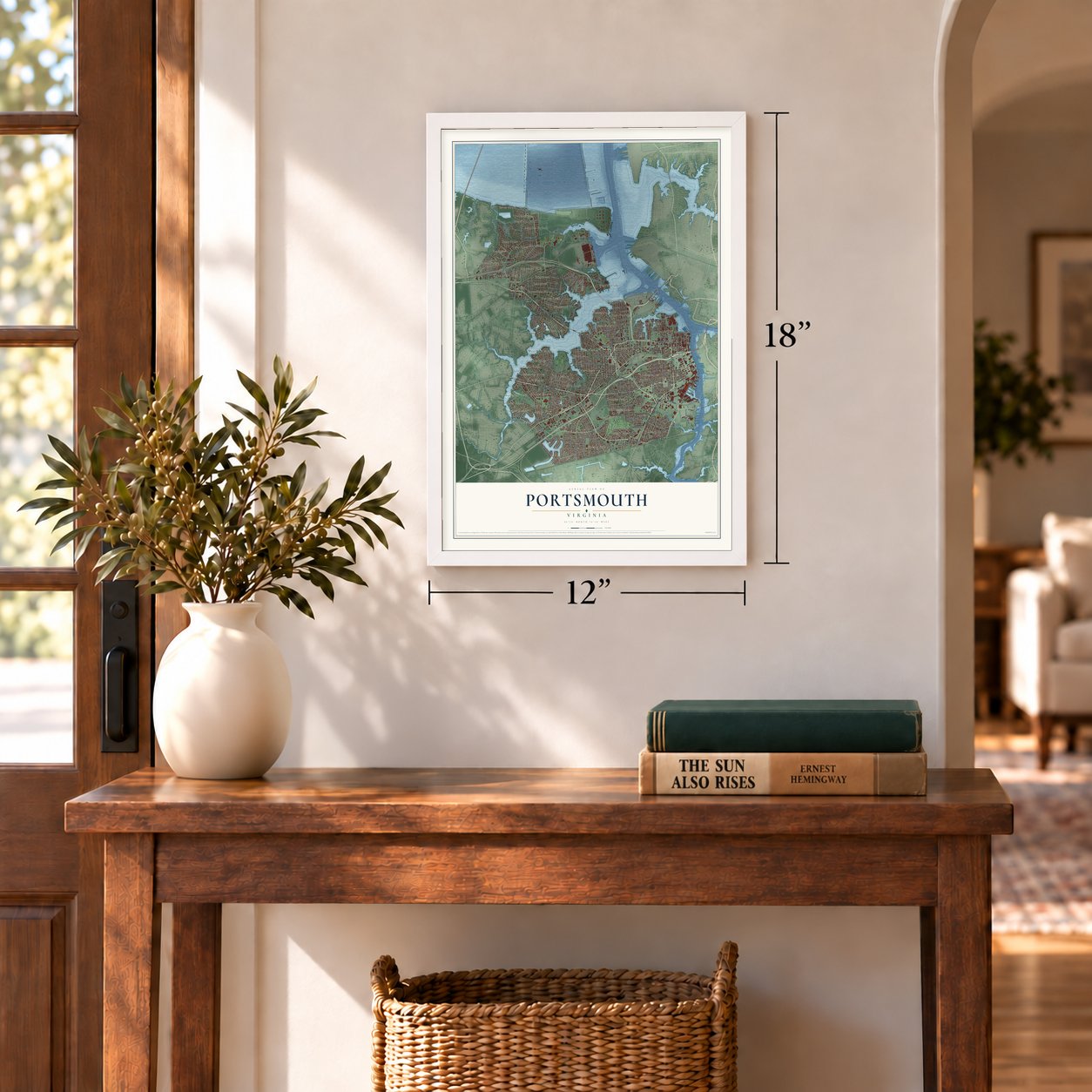
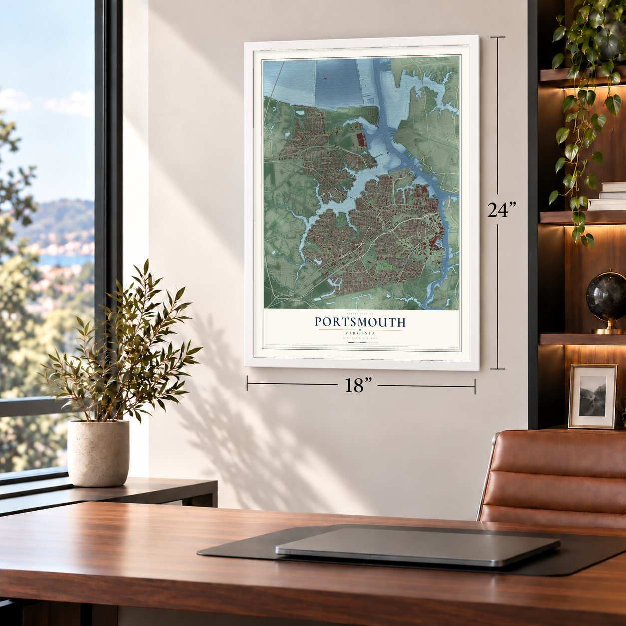
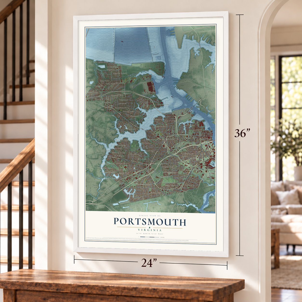
Portsmouth, Virginia Map Art
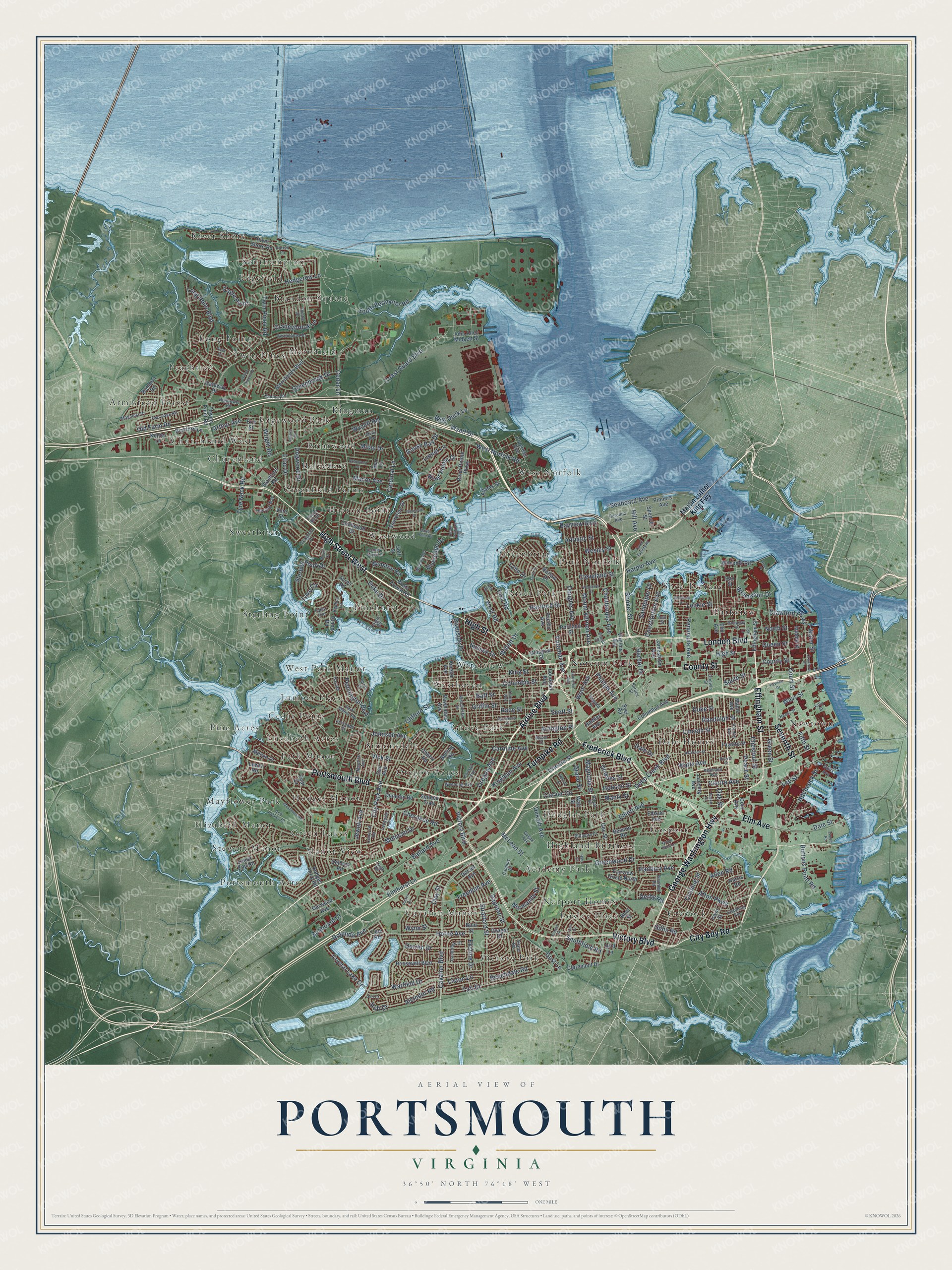
A new map of Portsmouth, Virginia, made in 2026 and printed to order on thick archival matte paper.
12" x 18" Archival Matte Print
A Map of Home. A Work of Art.
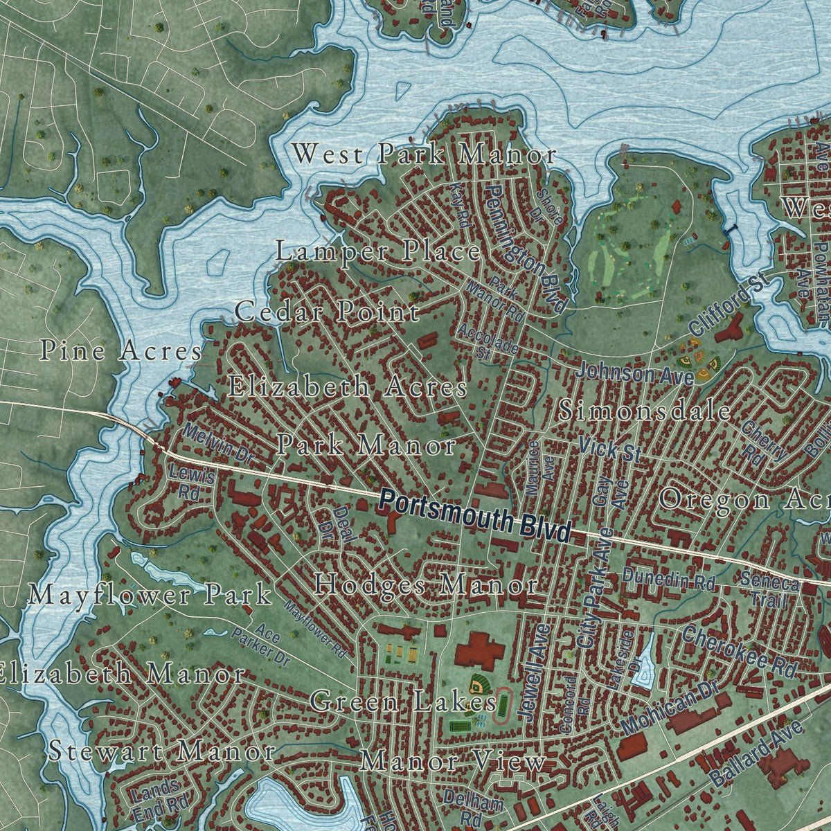
Explore Portsmouth, Virginia from a whole new perspective. Created using aerial imagery and detailed geographic data, this map captures Portsmouth building by building, with labeled streets, familiar landmarks, and shaded topographical relief that highlights the natural contours of the landscape.
Combining modern data with the timeless character of a vintage atlas, this map is just as interesting up close as it is beautiful on the wall. Whether you grew up in Portsmouth, spent memorable years there, or call it home today, this unique map is a great way to celebrate a place that means something to you. Zoom in on the preview to look for your street, and then order a print to put your memories on the wall.
Three ways to hang it
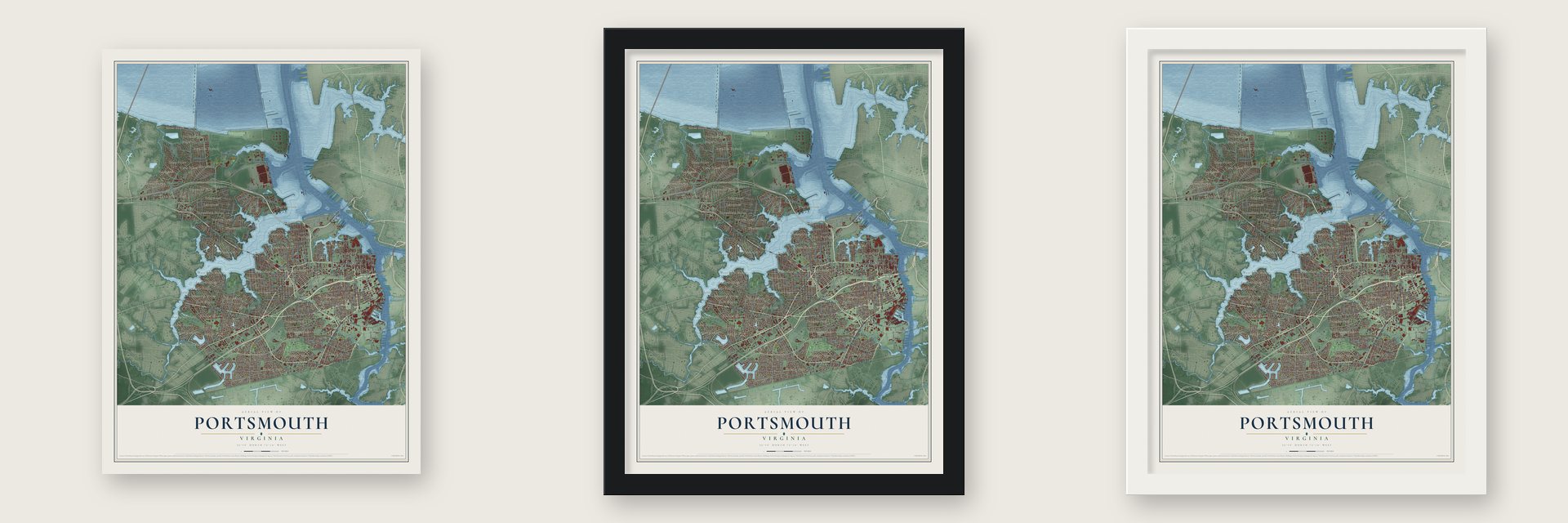
Unframed archival matte, a black wood frame or a white wood frame.
Up close
Geography Worth Displaying
This map was created using accurate cartographic data and authoritative geographic sources, including the U.S. Geological Survey and the Census Bureau. The map brings together terrain, waterways, roads, and building detail. The majority of the streets are labeled, houses are accurately depicted, and the topography is derived from government sources. Combining local data with carefully composed color and shading leads to this beautifully detailed Portsmouth artwork for your wall.
Rather than simply showing street outlines, we’ve included as many of the street names as we could reasonably fit on the map while keeping their names legible. Zoom in on the high resolution preview to see exactly what’s on the map. We truly set out to create a statement piece for anyone who loves Portsmouth. So whether it’s for you, or a gift for someone you love, we hope this map of Portsmouth brings back fond memories.
Read the story behind this map of Portsmouth, Virginia from 2026.

Find your street
Names on the Portsmouth map
Every name below is printed on this map. Look for your street, your school, the park where you played, or the pond down the road.
Places and landmarks57
- Academy Park
- Armistead Forest
- Belvedere
- Brandon Square
- Briarwood
- Cavalier Manor
- Cedar Point
- Churchland
- Churchland West
- Cradock
- Dale Homes
- Douglas Park
Show all 57 places
- Edgefield
- Edgewood Park
- Elizabeth Acres
- Elizabeth Manor
- Gosport
- Green Lakes
- Greenbriar
- Greenfield Farms
- Grove Park
- Hatton Point
- Highland-Biltmore
- Hodges Manor
- Kingman
- Lamper Place
- Long Point
- Loxley Place
- Manor View
- Mayflower Park
- Merrifield
- Newtown
- Norcum Park
- Norport Homes
- Oregon Acres
- Park Manor
- Parkview
- Peachtree
- Pine Acres
- Pinehurst
- Port Norfolk
- Portsmouth Acres
- River Park
- River Shore
- Shea Terrace
- Simonsdale
- Southampton
- Sterling Point
- Stewart Manor
- Sweetbrier
- Twin Pines
- Victory Park
- Waterview
- West Norfolk
- West Park Manor
- Westhaven
- Westwood
Streets and roads303
- Airline Boulevard
- High Street West
- High Street
- Portsmouth Boulevard
- George Washington Highway
- London Boulevard
- Victory Boulevard
- Effingham Street
- City Bdy Road
- Frederick Boulevard
- Elm Avenue
- Turnpike Road
- County Street
- Seventh Street
- City Park Avenue
- Harbor Drive
- Chestnut Street
- Coast Guard Boulevard
- Scott Street
- Peach Street
- Wesley Street
- Greenwood Drive
- Cavalier Boulevard
- Elmhurst Lane
- West Norfolk Road
- Cedar Lane
- King Street
- Deep Creek Boulevard
- South Street
- Twin Pines Road
Show all 303 streets
- Green Street
- Clifford Street
- Sterling Point Drive
- Long Point Boulevard
- Columbia Street
- Mount Vernon Avenue
- Lincoln Street
- Seaboard Avenue
- Afton Parkway
- Elliott Avenue
- McLean Street
- Race Street
- Crawford Parkway
- Queen Street
- Bart Street
- Cherokee Road
- Lilac Drive
- Douglas Avenue
- North Street
- Caroline Avenue
- Dekalb Avenue
- Harper Avenue
- Wyatt Drive
- Darren Drive
- Jewell Avenue
- Hartford Street
- Gillis Road
- Stratford Street
- Chautauqua Avenue
- Court Street
- Griffin Street
- Williamson Drive
- Horne Avenue
- Potomac Avenue
- Warfield Drive
- Constitution Avenue
- Arlington Place
- Beechdale Road
- Tyre Neck Road
- Riverside Drive
- Freedom Avenue
- Leckie Street
- Peninsula Avenue
- Taft Drive
- Duke Drive
- Phillips Avenue
- Randolph Street
- Greenbrook Drive
- Oregon Avenue
- Mohican Drive
- West Road
- Hitchcock Street
- South Perimeter Road
- Vick Street
- Gust Lane
- Carver Circle
- Ballard Avenue
- Rapidan Street
- Duke Street
- Smithfield Road
- Lee Street
- Willett Drive
- Rotunda Avenue
- Centre Avenue
- Choate Street
- Kingman Avenue
- Cushing Street
- Craneybrook Lane
- Pennington Boulevard
- Booker Street
- Hill Avenue
- Hedgerow Lane
- Crystal Lake Drive
- Johnson Avenue
- Eagle Point
- Oak Street
- River Pointe Drive
- Downes Street
- Watts Avenue
- Lake Circle
- Cardinal Lane
- Cleveland Street
- Adriatic Street
- Grand Street
- Liston Lane
- Sandpiper Drive
- Alcindor Road
- Wavy Street
- Burtons Point Road
- Winston Road
- Riveredge Drive
- Dale Drive
- East Road
- Dogwood Drive
- Old Farm Road
- Fifth Street
- Wright Road
- Hanbury Avenue
- Wycliff Road
- Wool Avenue
- Normandy Street
- Linnet Lane
- Allen Road
- Clay Street
- Manor Avenue
- Wynn Street
- Bayview Boulevard
- Sussex Drive
- Goose Bay Drive
- Ekstine Drive
- Seaboard Court
- Milan Drive
- Wild Duck Lane
- Dale Street
- Manly Street
- Magnolia Street
- Holt Drive
- Lynn Drive
- Hobson Street
- Water Street
- Arthur Avenue
- Derby Road
- Martin Luther King Fwy
- Vine Street
- Bickford Lane
- Kenny Lane
- River Shore Road
- Roosevelt Boulevard
- Towne Point Road
- Hodges Ferry Road
- Columbus Avenue
- Virginia Avenue
- Lansing Avenue
- Melvin Drive
- Beacon Road
- Glasgow Street
- Shoreline Drive
- Loudoun Avenue
- Fayette Street
- Holcomb Road
- Harris Road
- Wake Forest Road
- Pinners Avenue
- Jamestown Avenue
- Merrifields Boulevard
- Bolling Road
- Portland Street
- Powhatan Avenue
- Bold Street
- Amelia Avenue
- Adams Street
- John Allen Midgett Street
- Acres Road
- Deal Drive
- Garwood Avenue
- River Pointe Parkway
- Maple Avenue
- Clintwood Drive
- Gee Street
- Middle Street
- Dunedin Road
- Claremont Drive
- Wall Street
- Syer Road
- Barlow Drive
- Stamford Road
- Fairview Circle North
- Burr Lane
- Bay Street
- Spencer Street
- Irwin Street
- Goff Street
- Bird Lane
- Gateway Drive
- Edison Avenue
- Progress Avenue
- Dorset Avenue
- Bamboo Road
- Pacific Avenue
- Delham Road
- Dwight Drive
- Cherry Road
- Eric Street
- Gay Avenue
- Lands End Road
- Island Road
- Seneca Trail
- Ambler Avenue
- Lewis Road
- Cole Road
- Boat Street
- Cole Avenue
- Winchester Drive
- Broad Street
- Ace Parker Drive
- Park Manor Road
- Channing Avenue
- Faigle Road
- Magnolia Drive
- Wyoming Avenue
- Ann Street
- Louisa Avenue
- Holladay Street
- Allard Road
- Carolina Avenue
- Kalona Road
- Godwin Street
- Carney Farm Lane
- Two Oaks Road
- Swannanoa Drive
- Kay Road
- Prentis Avenue
- Sterling Way
- Henry Street
- Maurice Avenue
- Highland Avenue
- Clover Hill Drive
- Dandridge Drive
- Biltmore Place
- Laigh Road
- Hightower Road
- Replica Lane
- Kansas Avenue
- Thistle Drive
- Howard Street
- Finchley Road
- Parish Lane
- Shore Drive
- Whaley Road
- Ferguson Drive
- Davis Avenue
- Lakeside Drive
- Accolade Street
- Gygax Avenue
- Campus Drive
- Concord Road
- Fable Avenue
- Spruce Street
- Royal Street
- Kilty Street
- Jefferson Street
- Hamilton Avenue
- Hatton Point Road
- Dartmouth Street
- Pavilion Drive
- Mayflower Road
- Briarwood Lane
- Nelson Street
- Crawford Street
- Green Point Lane
- Woodrow Street
- Surry Street
- Park Road
- Fort Lane
- Willow Breeze Drive
- Gentle Road
- Veneer Road
- Beech Street
- McDaniel Street
- Francis Street
- Morro Boulevard
- Kent Drive
- Glencove Drive
- Tunell Facility Road
- Hatton Point Lane
- Darren Circle
- Rolen Drive
- Neville Street
- Gort Court
- Rixey Place
- Hoover Street
- Hale Court
- Fleet Court
Names are listed as they appear on the printed map. Zoom into the product photos to find them.
The art of mapping a place
How This Map Was Made
Real places. Remarkable detail. Discover the layers that turn geographic data into a map of home.

The view from above
Aerial imagery reveals the character of the land: woodland, open fields, and the patterns of a place.

The shape of the land
Elevation data brings hills, valleys, and subtle changes in the landscape into view.

The details of home
Roads, waterways, and building footprints come together to make the map feel unmistakably local.

Geography becomes art
Considered color, shading, and typography bring the layers together in a map made for your wall.


Process illustrated with Mendon, Massachusetts. Aerial imagery: USDA NAIP. Terrain: USGS 3D Elevation Program. Map details and finished artwork: KNOWOL.
The Details
About This Print
Choose an archival matte print, or a black or white Ayous wood frame. The archival matte print is unframed.
Select your size and finish above to see the matching product image and price.
Materials & Craftsmanship
A contemporary map with the character of a classic atlas, printed on archival matte paper. Optional frames are made from Ayous wood.
Your printed map does not include the watermark shown in the full-map preview.
Shipping & Delivery
Free shipping within the United States. Every print is made to order in the USA.
Buying a gift? Add a note in your cart and we'll include it. We never put prices in the package.
Prints ship within 2 to 3 business days. Allow 7 to 10 days total from ordering for delivery. Timing may vary during holidays or periods of high order volume.
Read our shipping policy.
Returns and damaged prints
Each print is made to order. Change-of-mind refunds are not available after production.
If your print arrives damaged, misprinted or incorrect, contact support@knowol.com within 30 days of receiving it. Include your order number, photos and a description of the issue.
Read our full refund and replacement policy. For questions about your order, email support@knowol.com.
Find your town
Looking for another city?
Find a map of home in our Virginia collection, or any town in the country.
Nearby
Maps of towns near Portsmouth
Know someone from one of these towns? Their map makes a great gift.
 Norfolk
, Virginia
From $39.99See the map
 Carrollton
, Virginia
From $39.99See the map
 Chesapeake
, Virginia
From $39.99See the map
More maps nearby: Hampton, Benns Church, Smithfield, Bethel Manor and Newport News.