
Search for another town




Free U.S. delivery 7 to 10 days after you order
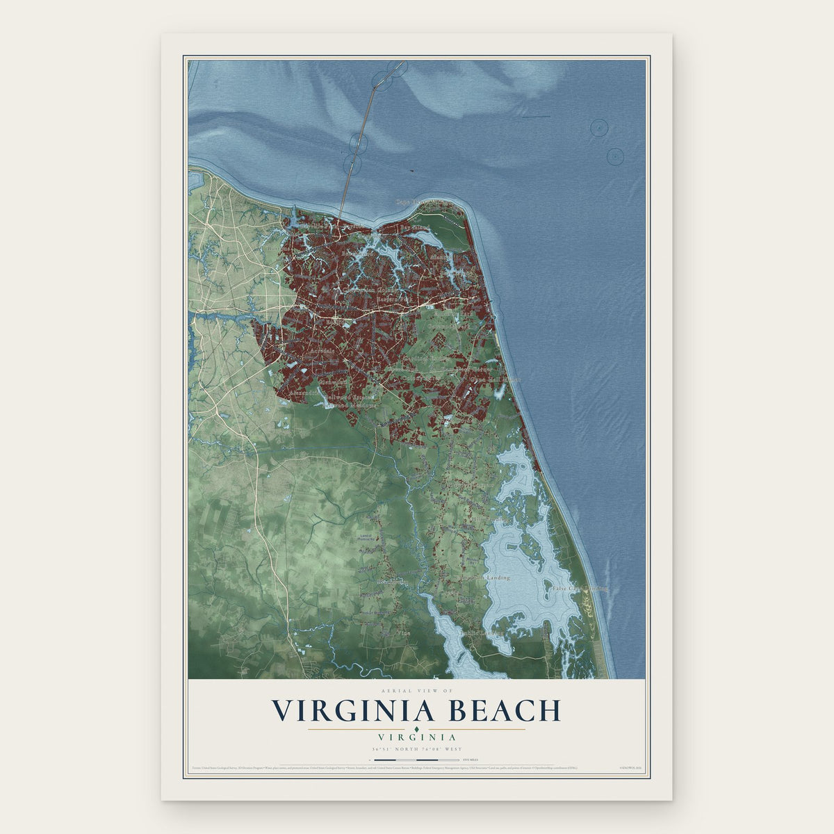
Virginia Beach, Virginia Map Art
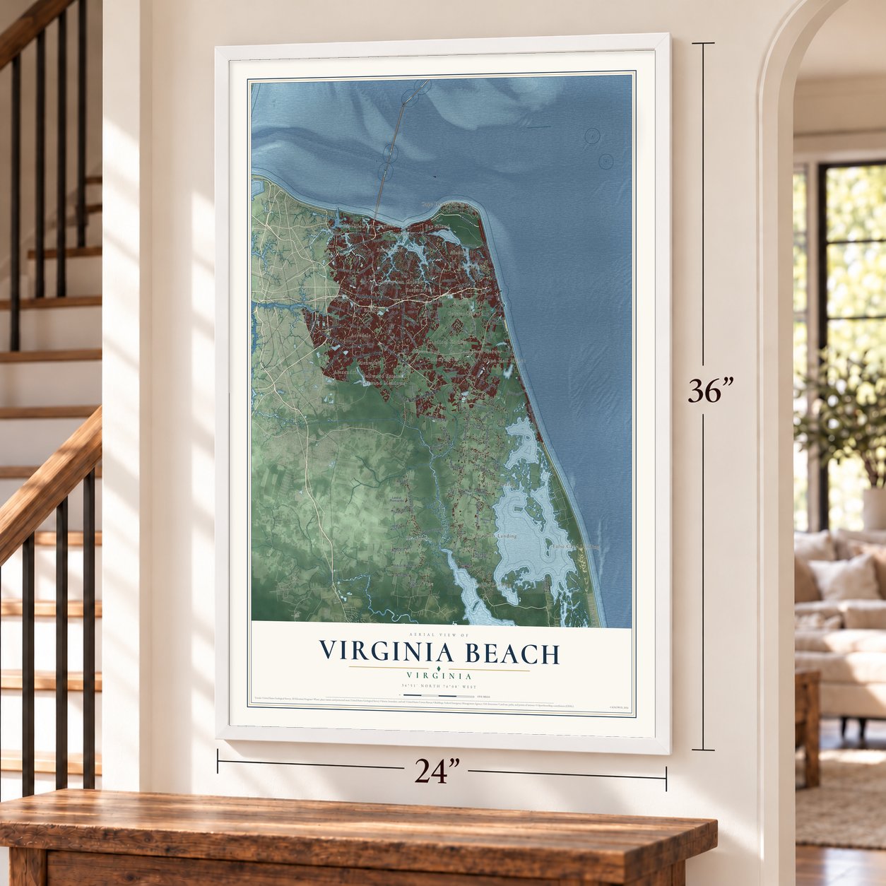
A new map of Virginia Beach, Virginia, made in 2026 and printed to order on thick archival matte paper.
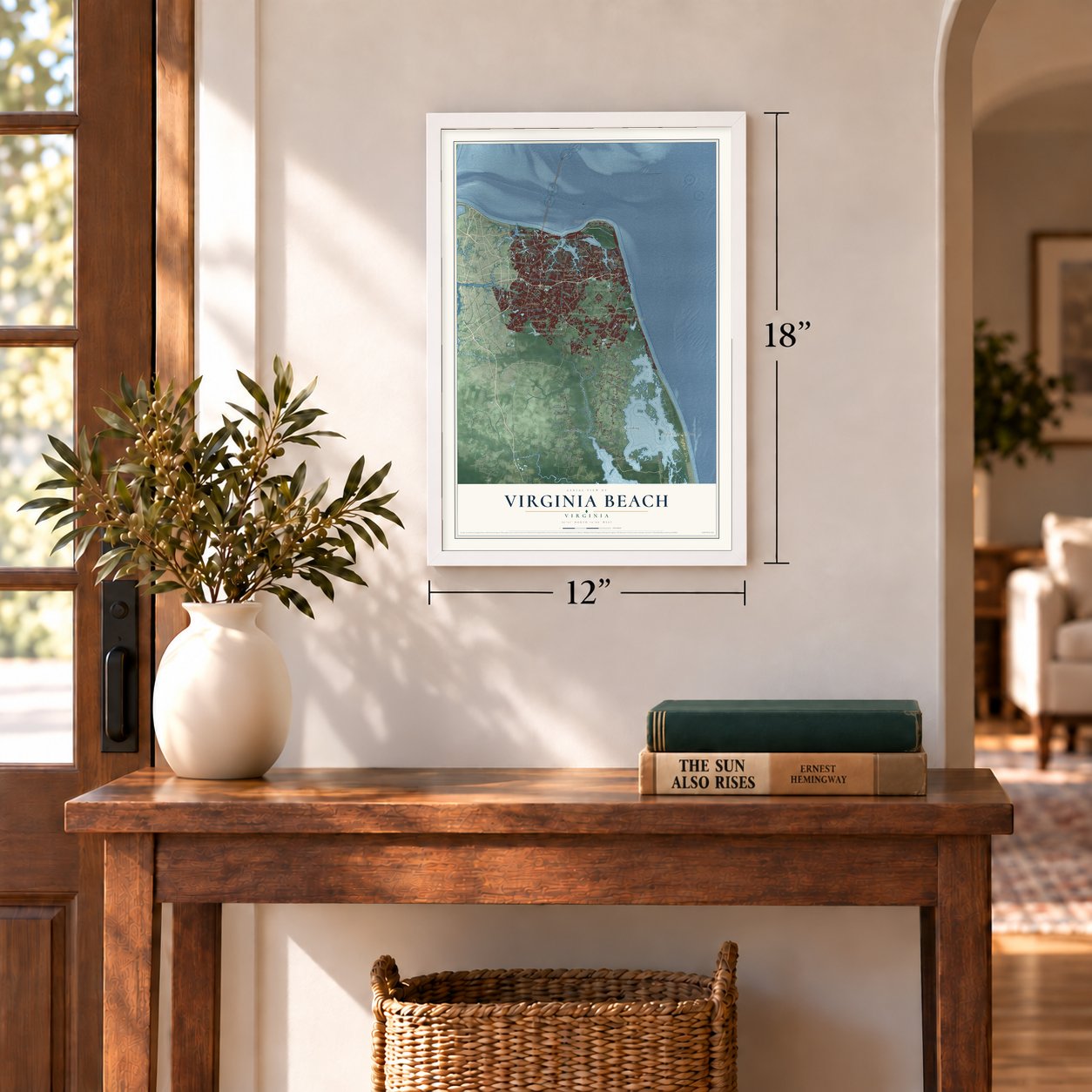
12" x 18" Archival Matte Print
A Map of Home. A Work of Art.
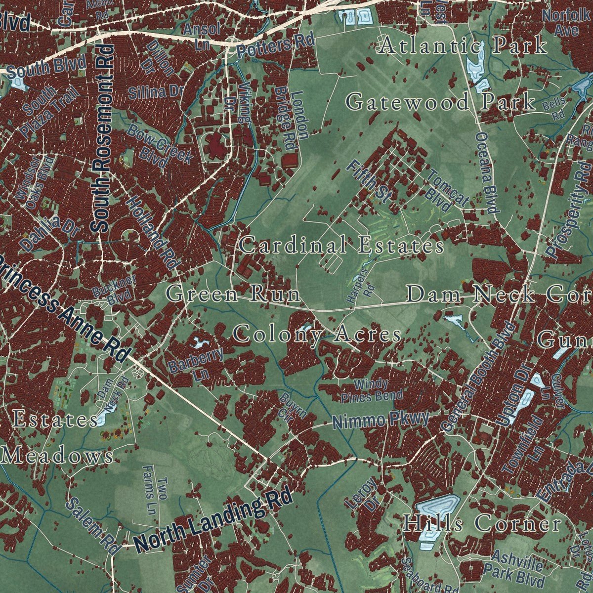
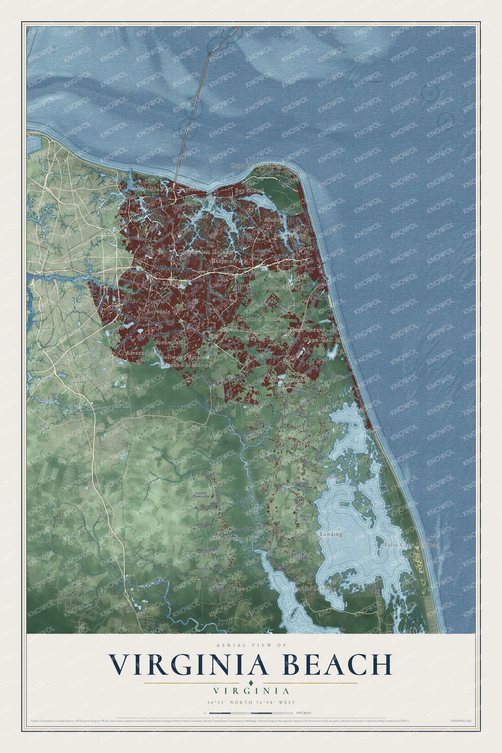
Explore Virginia Beach, Virginia from a whole new perspective. Created using aerial imagery and detailed geographic data, this map captures Virginia Beach building by building, with labeled streets, familiar landmarks, and shaded topographical relief that highlights the natural contours of the landscape.
Combining modern data with the timeless character of a vintage atlas, this map is just as interesting up close as it is beautiful on the wall. Whether you grew up in Virginia Beach, spent memorable years there, or call it home today, this unique map is a great way to celebrate a place that means something to you. Zoom in on the preview to look for your street, and then order a print to put your memories on the wall.
Three ways to hang it
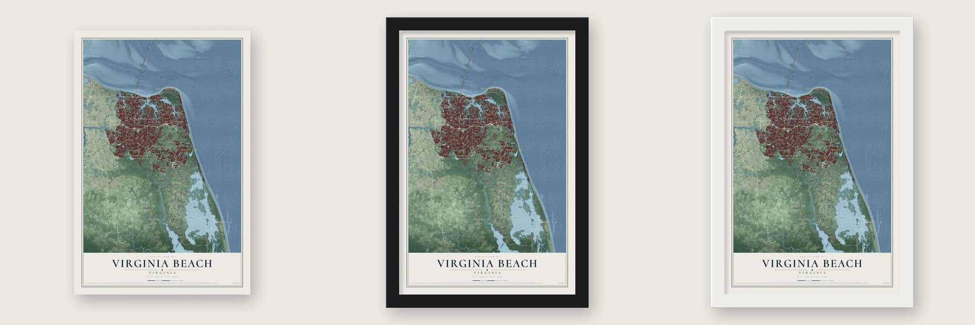
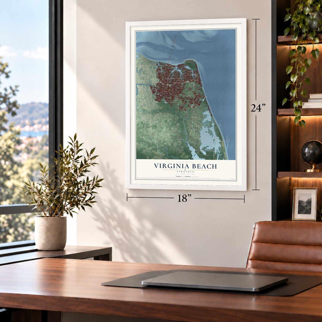
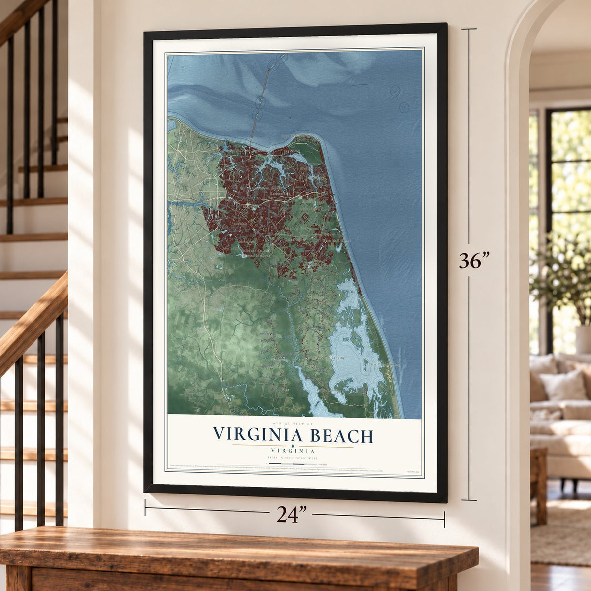
Unframed archival matte, a black wood frame or a white wood frame.
Up close
Geography Worth Displaying
This map was created using accurate cartographic data and authoritative geographic sources, including the U.S. Geological Survey and the Census Bureau. The map brings together terrain, waterways, roads, and building detail. The majority of the streets are labeled, houses are accurately depicted, and the topography is derived from government sources. Combining local data with carefully composed color and shading leads to this beautifully detailed Virginia Beach artwork for your wall.
Rather than simply showing street outlines, we’ve included as many of the street names as we could reasonably fit on the map while keeping their names legible. Zoom in on the high resolution preview to see exactly what’s on the map. We truly set out to create a statement piece for anyone who loves Virginia Beach. So whether it’s for you, or a gift for someone you love, we hope this map of Virginia Beach brings back fond memories.
Read the story behind this map of Virginia Beach, Virginia from 2026.

About Virginia Beach, Virginia
Virginia Beach is a city of 459,470 people where the Chesapeake Bay meets the Atlantic Ocean. In 1607 three ships under Captain Christopher Newport ended a 144-day voyage here with 105 men and boys aboard. The colonists named the spot Cape Henry for the eldest son of King James I. Their orders told them to find a safer site inland, so they sailed on and settled at Jamestown.
For two centuries this was farm and plantation country in Princess Anne County, formed in 1691. Rail service reached the coast in 1883, and the railroad company opened the Virginia Beach Hotel near the small community of Seatack. After a foreclosure, the hotel reopened in 1888 as the Princess Anne Hotel. The resort became a town in 1906. Virginia Beach Boulevard opened the way for cars from Norfolk in 1922, and the town became a city in 1952.
“The Cavalier Hotel, completed in 1927, is emblematic of Virginia Beach's transformation from small town to major resort during the Roaring Twenties.”
- The wreck of the DictatorIn 1891 guests at the Princess Anne Hotel watched the U.S. Life-Saving Service work to rescue the crew of the Norwegian barque Dictator. Several days later the ship's figurehead washed ashore. People set it up on the oceanfront to honor the victims and the rescuers, and it stood there for more than 50 years. It later inspired the twin Norwegian Lady Monuments by Ørnulf Bast, one here and one in Moss, Norway.
- Adam Thoroughgood's LynnhavenAdam Thoroughgood, born in 1604 in King's Lynn, England, signed on as an indentured servant at 18 to pay his way to Virginia. He won his freedom, was elected to the House of Burgesses in 1629, and lived on the Lynnhaven River after 1634. The river took its name from his English home, and he is credited with helping name New Norfolk County in 1637.
- A county and a city mergeIn 1963 voters in Princess Anne County and the City of Virginia Beach approved a referendum, and the General Assembly let the two combine. The county covered 253 square miles and the city only 2, but the new city kept the resort's better-known name. Its seven boroughs were Bayside, Blackwater, Kempsville, Lynnhaven, Pungo, Princess Anne and Virginia Beach.
- The Dome, built in 1958The Alan B. Shepard Civic Center, known as the Dome, honored the astronaut, who had lived in Virginia Beach. Many famous musical acts played there, and in later years it often served as a bingo hall. It was torn down in 1994 to make room for a parking lot, then rebuilt, reopening in 2025 as an entertainment venue.
Find your street
Names on the Virginia Beach map
Every name below is printed on this map. Look for your street, your school, the park where you played, or the pond down the road.
Places and landmarks33
- False Cape Landing
- Public Landing
- Vine
- Acredale
- Alanton
- Alexandria
- Atlantic Park
- Bay Colony
- Bay Island
- Bayside
- Bayville
- Bayville Park
Show all 33 places
- Beechwood
- Bellwood Estates
- Bellwood Meadows
- Blackwater
- Burtons
- Campbells Landing
- Cape Henry Village
- Cardinal Estates
- Chesopeian Colony
- Colony Acres
- Creeds
- Dam Neck Corner
- Dawley Corners
- Eastern Park
- Euclid
- Gatewood Park
- Glenwood
- Green Run
- Gunn Hall Manor
- Hill Landing
- Hills Corner
Streets and roads147
- Shore Drive
- Virginia Beach Boulevard
- Princess Anne Road
- Northampton Boulevard
- Laskin Road
- Atlantic Avenue
- Pacific Avenue
- North Landing Road
- Lynnhaven Parkway
- North Great Neck Road
- Kempsville Road
- Indian River Road
- South Rosemont Road
- Greenwich Road
- Wesleyan Drive
- Haygood Road
- Holland Road
- Potters Road
- Prosperity Road
- Blackwater Road
- Nimmo Parkway
- Salem Road
- West Neck Road
- Sandbridge Road
- South Sandpiper Road
- Baker Road
- Morris Neck Road
- Pungo Ferry Road
- Fifth Street
- Indian Creek Road
Show all 147 streets
- Gum Bridge Road
- Edwin Drive
- South Boulevard
- Hungarian Road
- 64th Street
- Upton Drive
- Dahlia Drive
- First Court Road
- Vaughan Road
- Baum Road
- 19th Street
- Entrada Drive
- Harris Road
- Locke Lane
- Ives Road
- Caren Drive
- South Military Highway
- Providence Road
- Ferrell Parkway
- General Booth Boulevard
- South Plaza Trail
- Oceana Boulevard
- London Bridge Road
- Regulus Avenue
- Charity Neck Road
- Muddy Creek Road
- Bonney Road
- Mill Landing Road
- Amphibious Drive
- Tomcat Boulevard
- Old Carolina Road
- Head River Road
- Aragona Boulevard
- Crags Causeway
- Silina Drive
- North Witchduck Road
- Ewell Road
- Wolfsnare Road
- Back Bay Landing Road
- Ashville Park Boulevard
- Norfolk Avenue
- West Landing Road
- Nawney Creek Road
- Bow Creek Boulevard
- Land of Promise Road
- Bay Colony Drive
- Five Point Road
- New Bridge Road
- Cardinal Road
- 24th Street
- Susquehanna Drive
- Townfield Lane
- Munden Road
- Viking Drive
- Knotts Island Road
- Terrier Avenue
- Thalia Road
- Munden Point Road
- Sumter Drive
- Barberry Lane
- Hewitt Road
- Lynbrook Landing
- Minute Men Road
- Dillon Drive
- Leroy Drive
- Ansol Lane
- Drew Drive
- Doon Street
- West Lane
- Aura Drive
- Windsor Oaks Boulevard
- Seaboard Road
- North Muddy Creek Road
- Hospital Road
- Culver Lane
- Buzzard Neck Road
- Windy Pines Bend
- Mill Dam Road
- Church Point Road
- Buckner Boulevard
- Cullen Road
- Macdonald Road
- Rifle Range Road
- Two Farms Lane
- Stuart Road
- Sandpiper Road
- Jarvis Road
- Brian Avenue
- Rose Hall Drive
- Kings Lake Drive
- Va 343
- Aragon Drive
- Stowe Road
- Lotus Drive
- Tim Road
- Buyrn Circle
- Zia Drive
- Dam Neck Road
- Harpers Road
- Fitztown Road
- Colechester Road
- Bells Road
- River Road
- Knights Bridge Lane
- Alcott Road
- Bruton Lane
- Andover Road
- Overholt Drive
- Lindsley Drive
- Kaders Road
- Croatan Road
- Inlet Road
- Coliss Avenue
- Page Avenue
- Mac Street
- Edna Way
- Batt Street
Names are listed as they appear on the printed map. Zoom into the product photos to find them.
The art of mapping a place
How This Map Was Made
Real places. Remarkable detail. Discover the layers that turn geographic data into a map of home.

The view from above
Aerial imagery reveals the character of the land: woodland, open fields, and the patterns of a place.

The shape of the land
Elevation data brings hills, valleys, and subtle changes in the landscape into view.

The details of home
Roads, waterways, and building footprints come together to make the map feel unmistakably local.

Geography becomes art
Considered color, shading, and typography bring the layers together in a map made for your wall.


Process illustrated with Mendon, Massachusetts. Aerial imagery: USDA NAIP. Terrain: USGS 3D Elevation Program. Map details and finished artwork: KNOWOL.
The Details
About This Print
Choose an archival matte print, or a black or white Ayous wood frame. The archival matte print is unframed.
Select your size and finish above to see the matching product image and price.
Materials & Craftsmanship
A contemporary map with the character of a classic atlas, printed on archival matte paper. Optional frames are made from Ayous wood.
Your printed map does not include the watermark shown in the full-map preview.
Shipping & Delivery
Free shipping within the United States. Every print is made to order in the USA.
Buying a gift? Add a note in your cart and we'll include it. We never put prices in the package.
Prints ship within 2 to 3 business days. Allow 7 to 10 days total from ordering for delivery. Timing may vary during holidays or periods of high order volume.
Read our shipping policy.
Returns and damaged prints
Each print is made to order. Change-of-mind refunds are not available after production.
If your print arrives damaged, misprinted or incorrect, contact support@knowol.com within 30 days of receiving it. Include your order number, photos and a description of the issue.
Read our full refund and replacement policy. For questions about your order, email support@knowol.com.
Find your town
Looking for another city?
Find a map of home in our Virginia collection, or any town in the country.
Nearby
Maps of towns near Virginia Beach
Know someone from one of these towns? Their map makes a great gift.
 Norfolk
, Virginia
From $39.99See the map
 Chesapeake
, Virginia
From $39.99See the map
 Portsmouth
, Virginia
From $39.99See the map
More maps nearby: Hampton, Poquoson, Carrollton, Bethel Manor and Cape Charles.