
Search for another town
Free U.S. delivery 7 to 10 days after you order
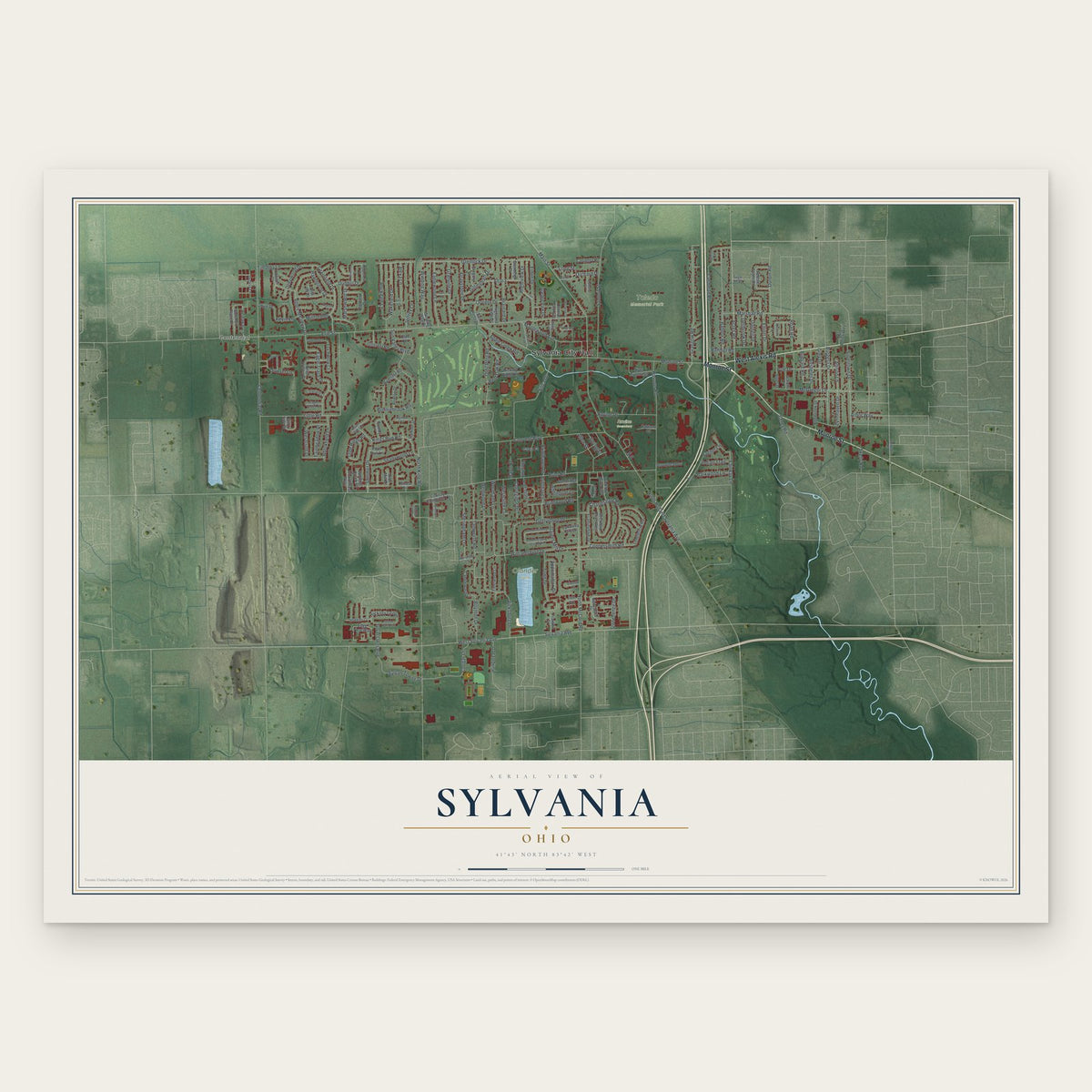
Sylvania, Ohio Map Art
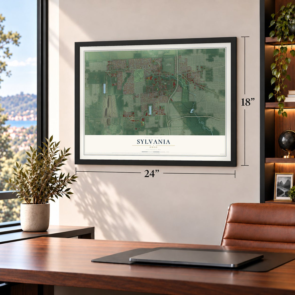
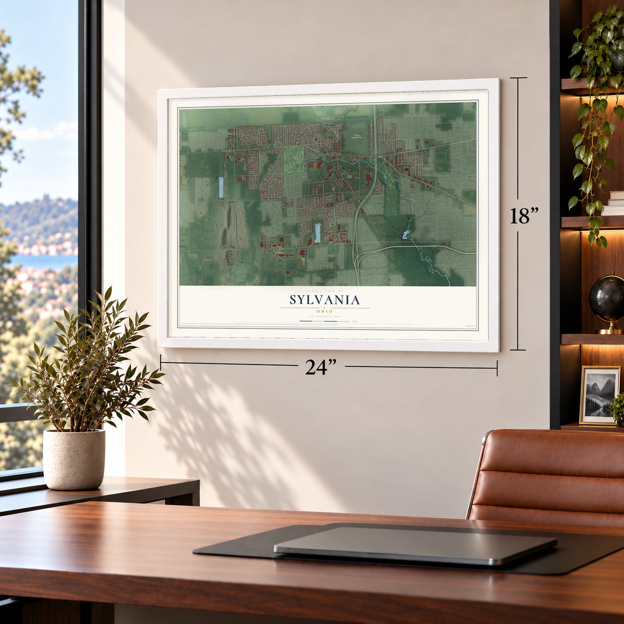
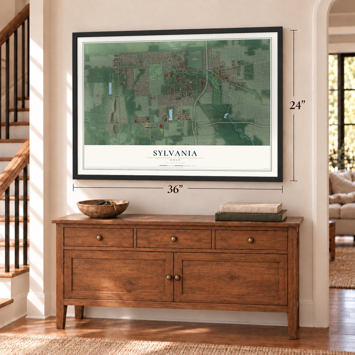
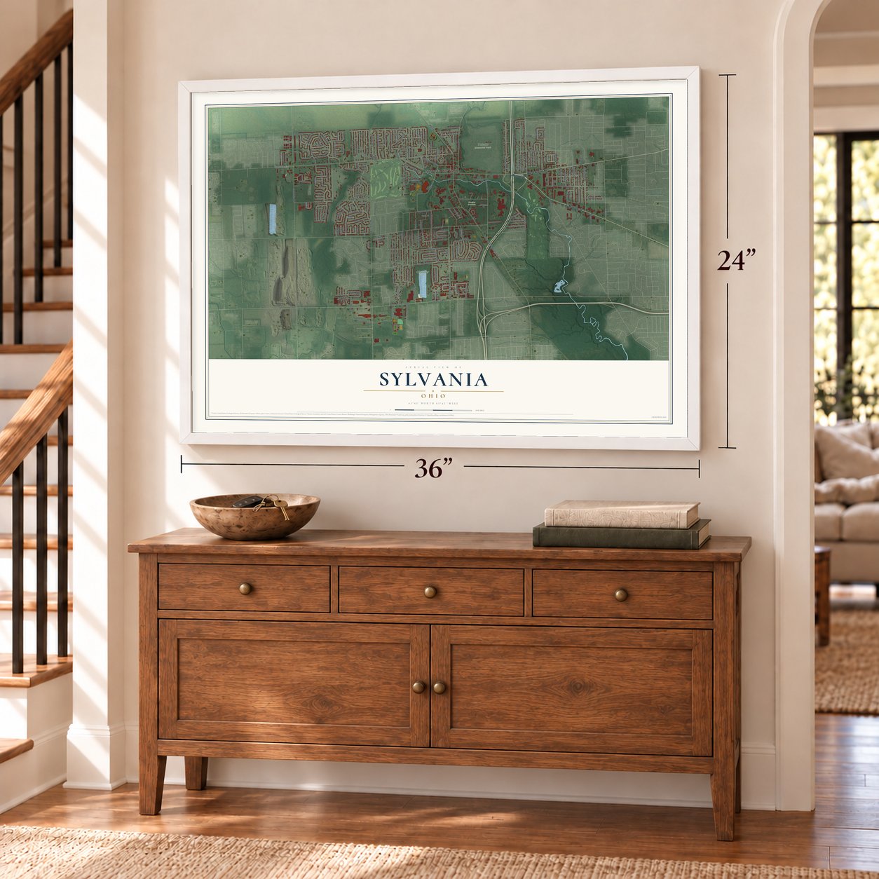
Building by building, with labeled streets and shaded relief.
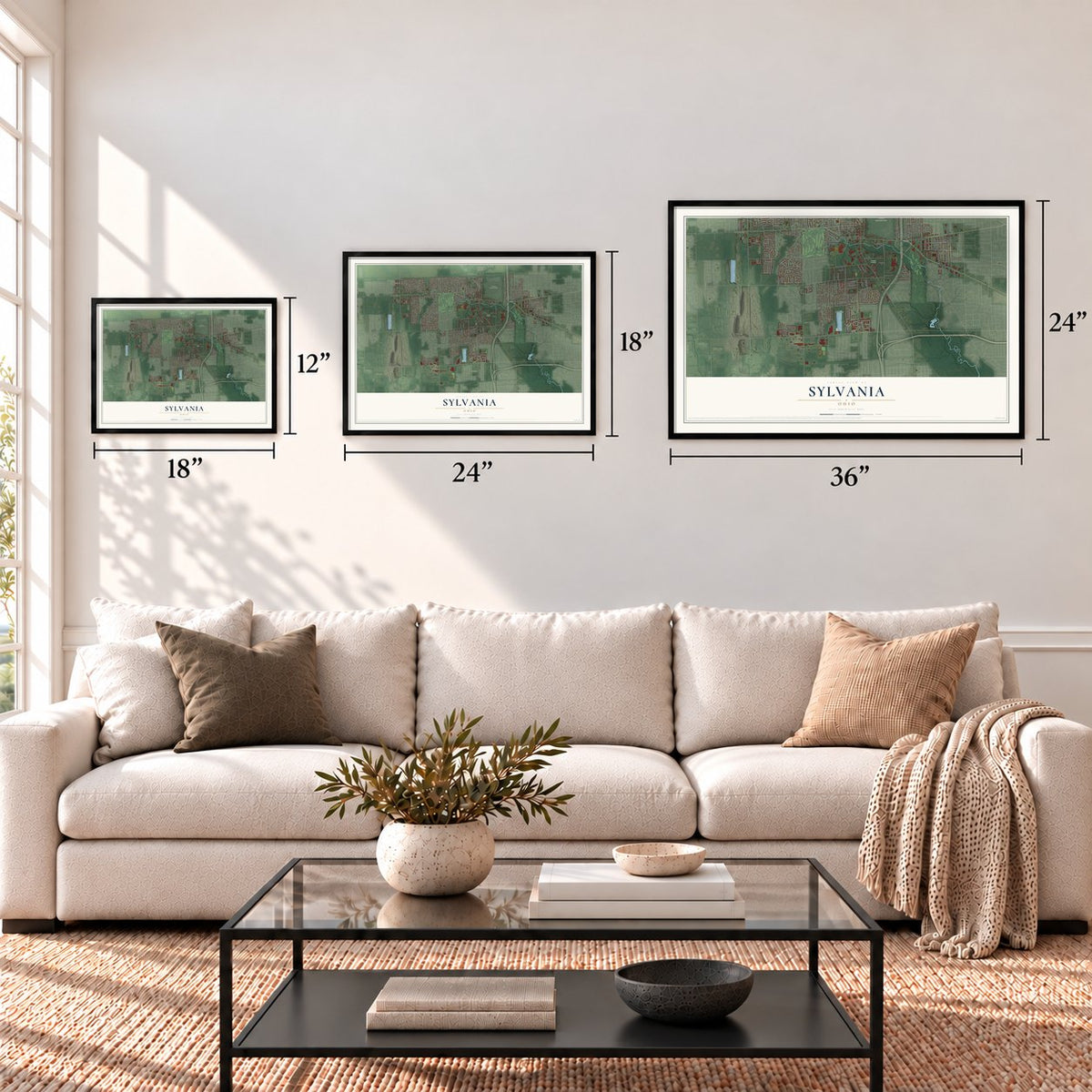
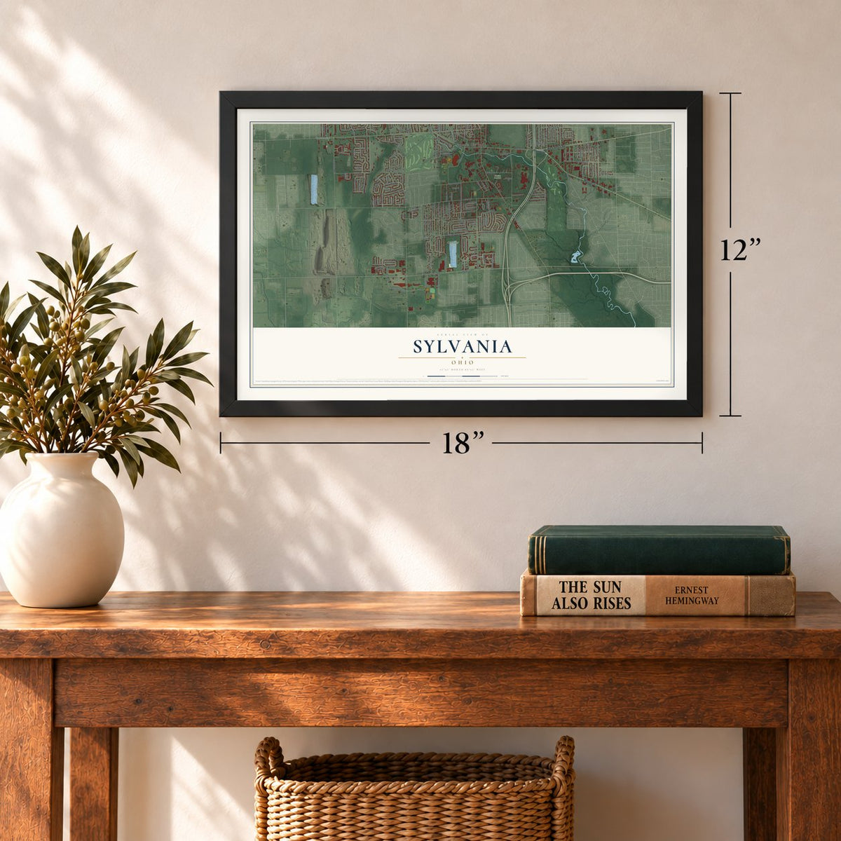
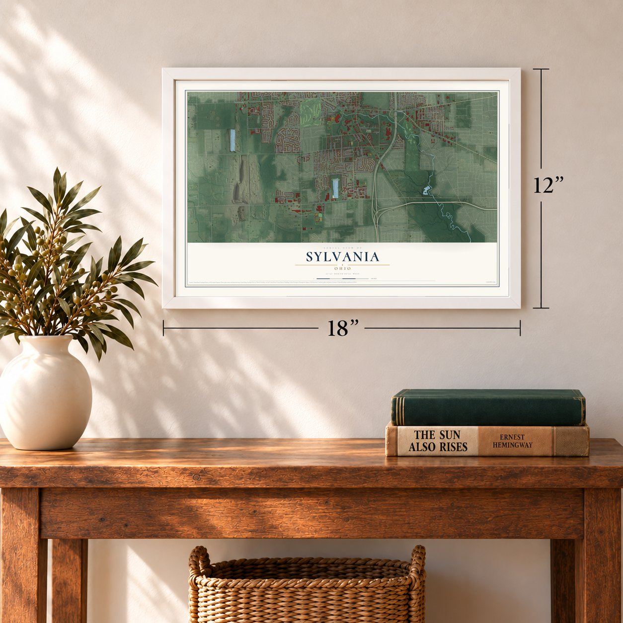
12" x 18" Archival Matte Print
A Map of Home. A Work of Art.
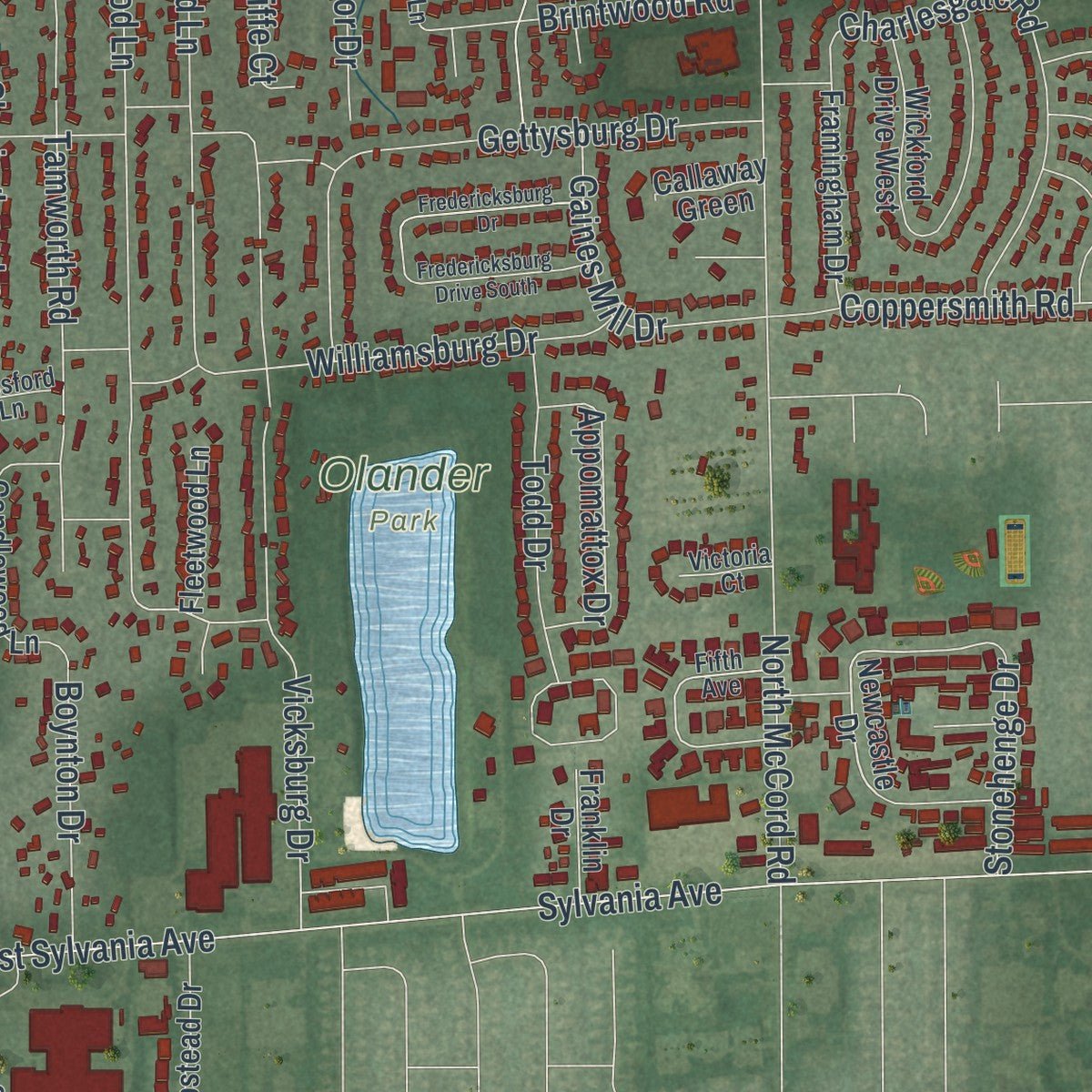
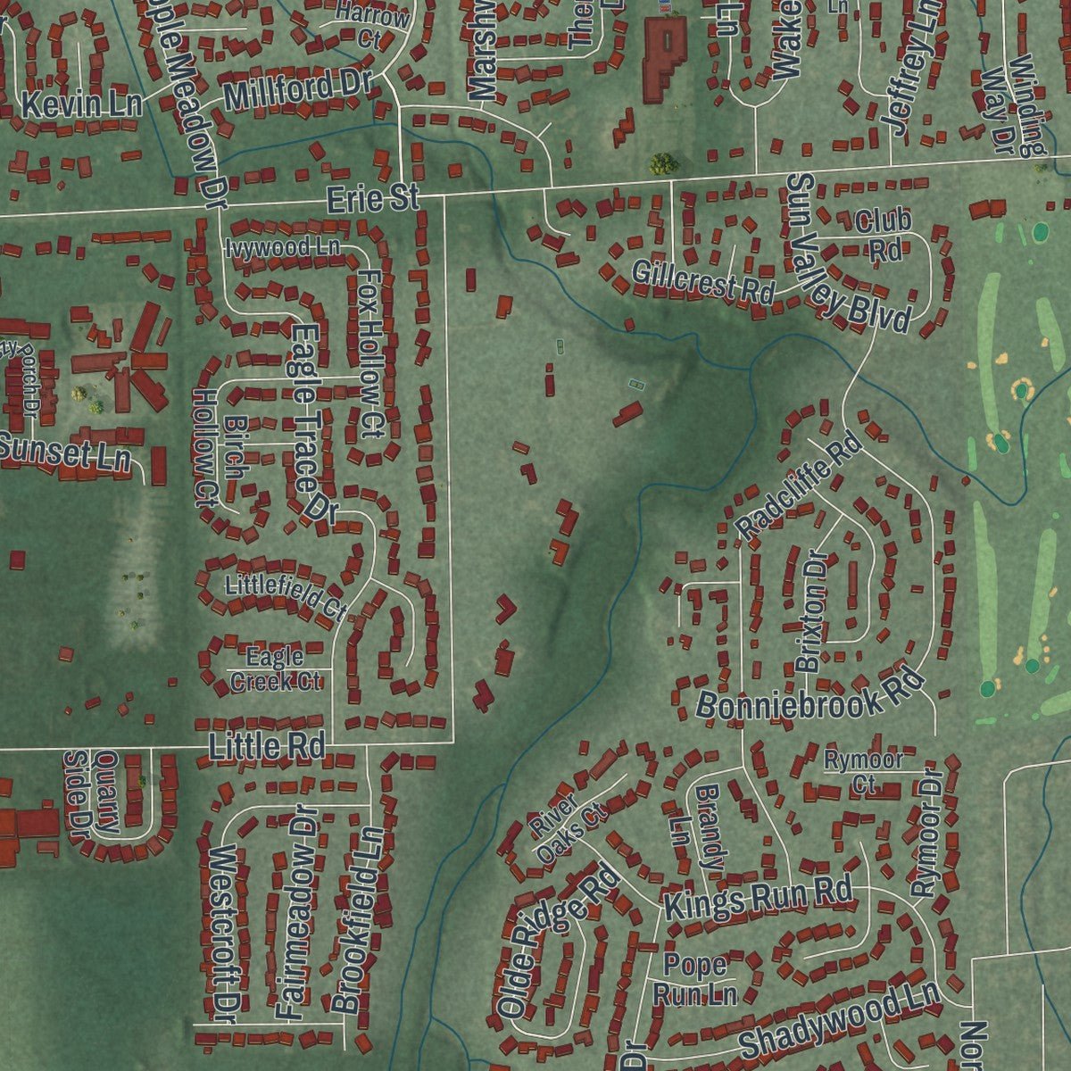
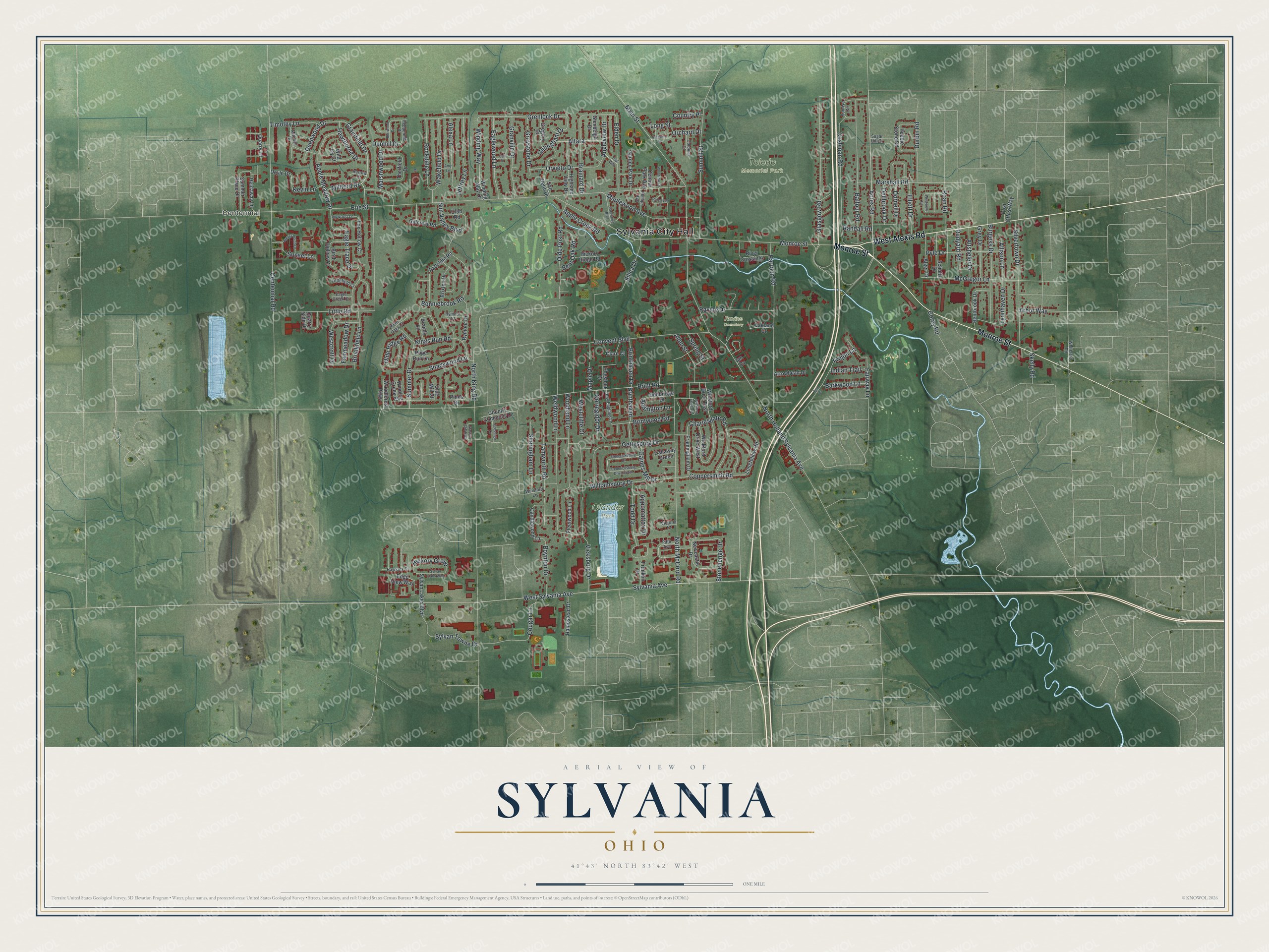
Explore Sylvania, Ohio from a whole new perspective. Created using aerial imagery and detailed geographic data, this map captures Sylvania building by building, with labeled streets, familiar landmarks, and shaded topographical relief that highlights the natural contours of the landscape.
Combining modern data with the timeless character of a vintage atlas, this map is just as interesting up close as it is beautiful on the wall. Whether you grew up in Sylvania, spent memorable years there, or call it home today, this unique map is a great way to celebrate a place that means something to you. Zoom in on the preview to look for your street, and then order a print to put your memories on the wall.
Three ways to hang it
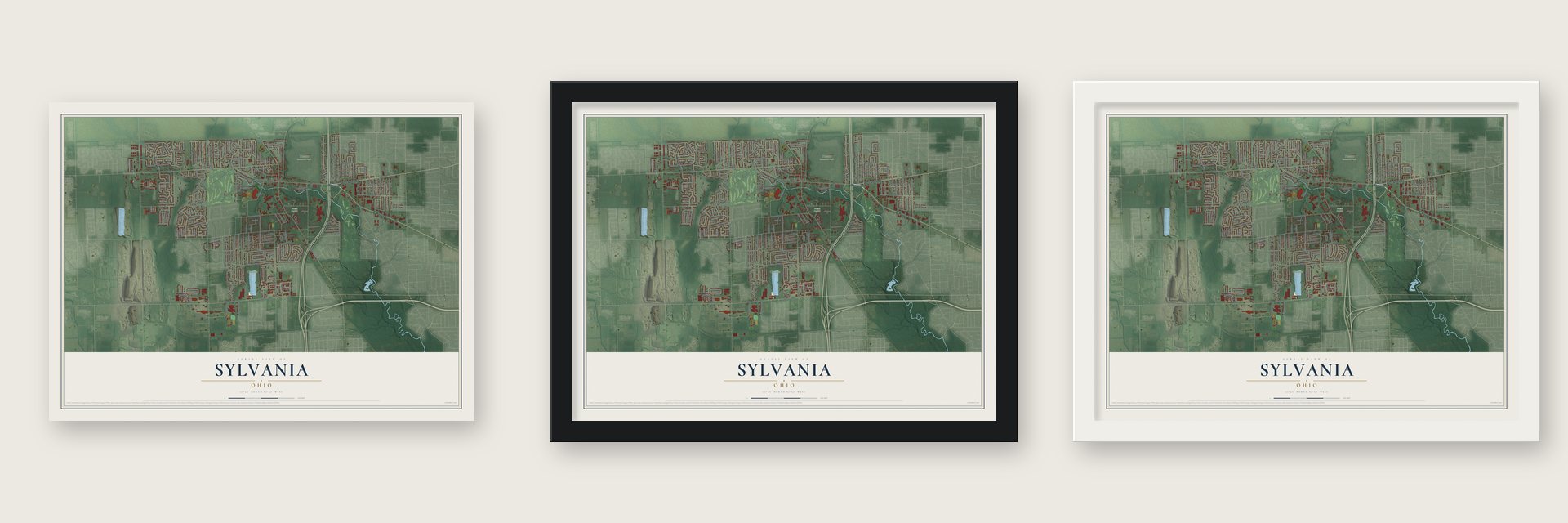
Unframed archival matte, a black wood frame or a white wood frame.
Up close
Geography Worth Displaying
This map was created using accurate cartographic data and authoritative geographic sources, including the U.S. Geological Survey and the Census Bureau. The map brings together terrain, waterways, roads, and building detail. The majority of the streets are labeled, houses are accurately depicted, and the topography is derived from government sources. Combining local data with carefully composed color and shading leads to this beautifully detailed Sylvania artwork for your wall.
Rather than simply showing street outlines, we’ve included as many of the street names as we could reasonably fit on the map while keeping their names legible. Zoom in on the high resolution preview to see exactly what’s on the map. We truly set out to create a statement piece for anyone who loves Sylvania. So whether it’s for you, or a gift for someone you love, we hope this map of Sylvania brings back fond memories.

Find your street
Names on the Sylvania map
Every name below is printed on this map. Look for your street, your school, the park where you played, or the pond down the road.
Places and landmarks5
- Sylvania City Hall
- Centennial
- Olander Park
- Toledo Memorial Park
- Ravine Cemetery
Streets and roads200
- Monroe Street
- West Alexis Road
- Acres Road
- Grainfield Drive
- Grenlock Drive
- Rudyard Road
- Main Street
- Deepwood Drive
- Erie Street
- Brint Road
- Sylvania Avenue
- West Sylvania Avenue
- North King Road
- North McCord Road
- Centennial Road
- Little Road
- Silica Drive
- Harroun Road
- Vicksburg Drive
- Glasgow Road
- McGregor Lane
- Balfour Road
- Summit Street
- Weldwood Lane
- Convent Boulevard
- Tamworth Road
- Silvertown Drive
- Eagle Trace Drive
- Cushman Road
- Bonniebrook Road
Show all 200 streets
- Charlesgate Road
- Gettysburg Drive
- Elden Drive
- Brinthaven
- Brinthaven Drive
- Maplewood Avenue
- Burgess Drive
- Kings Run Road
- Olde Post Road
- Cougar Lane
- Roan Road
- Marshall Road
- North Holland Sylvania Avenue
- Woodland Lane
- Apple Meadow Drive
- Jeffrey Lane
- Eaglewood Lane
- Granville Drive
- Pyle Drive
- Summer Drive
- Brainard Drive
- Ravine Drive
- Wakefield Drive
- Alexa Lane
- Rockdale Lane
- Williamsburg Drive
- Lynnhaven Drive
- Winding Way
- Sheringham Lane
- Coppersmith Road
- Orvieto Drive
- Westcroft Drive
- Gaines Mill Drive
- Todd Drive
- Gillingham Drive
- Brintwood Road
- Appomattox Drive
- Shadywood Lane
- Graystone Drive
- Brookfield Lane
- Boynton Drive
- Allen Street
- Bent Oak Road
- Angleview Drive
- Elliott Drive
- Grey Drive
- Hawthorne Drive
- Sylvan Towne Drive
- Altsheler Drive
- Corregidor Drive
- Timothy Lane
- Westcliffe Court
- Altara
- Maple Drive
- Olde Ridge Road
- Marshwood Drive
- Sun Valley Boulevard
- Barkwood Lane
- Apple Creek Road
- Stonehenge Drive
- Hickory Grove
- Dellbrook Drive
- Fairmeadow Drive
- Dornell Drive
- Fairway Lane
- Arbor Way
- Addington Lane
- Allison Lane
- Dunhill Drive
- Indian Trail
- Millford Drive
- Sunset Lane
- Frejon Lane
- Orchard Drive
- Durbin Road
- Kevin Lane
- Spring Street
- Country Place
- Randall Road
- Long Street
- Corey Road
- Skelly Road
- Newcastle Drive
- Edge View Way
- Pines Drive
- Radcliffe Road
- Wickford Drive East
- Winding Way Drive
- Longfellow Road
- Sylvan Lakes Boulevard
- San Reno Drive
- Highland View Drive
- Candlewood Lane
- Bentbrook Drive
- River Crossings
- Schultz Drive
- Therfield Drive
- Wickford Drive West
- Alger Drive
- Hampstead Drive
- Framingham Drive
- Garden Park Drive
- Summer Place Drive
- Brixton Drive
- Country Commons Lane
- Club Road
- Fox Hollow Court
- Gillcrest Road
- Brandy Lane
- Heidaway Lane
- Gregory Drive
- Arrowhead Drive
- Hickory Ridge Road
- Fleetwood Lane
- Denbridge Drive
- Winding Creek Place
- Woodforest Parkway
- Post Office Way
- Rymoor Drive
- Birch Hollow Court
- Glenbeigh Drive
- Franklin Drive
- Oakland Court
- Chestnut Drive
- Pebble Stone Road
- Quarry Lane
- Central Park Avenue
- Callaway Green
- Quarry Side Drive
- Doyle Drive
- Clare Court
- Olde Mill Court
- Pope Run Lane
- Wild Ivy Court
- Ian Cv
- Whiteford Road
- Mitchell Drive
- New England Lane
- Hawkins Court
- Ivywood Lane
- Sugar Hill Court
- Littlefield Court
- Colonial Court
- River Oaks Court
- Peppermill Drive
- Phillips Avenue
- Rymoor Court
- Eagle Creek Court
- Winsford Lane
- Victoria Court
- Harrow Court
- Sunrise Circle
- Fifth Avenue
- Wickford Green Drive
- Fredericksburg Drive South
- Sylvan Oaks Way
- Fredericksburg Drive
- Woodrow Drive
- Breezy Porch Drive
- Parkwood Boulevard
- Marble Cliff Boulevard
- Roosevelt Court
- Box Lane
- Dressage Lane
- Burrwood Drive
- Gail Drive
- Westview Drive
- Trail Way
- Franklin Street
- Amy Lane
Names are listed as they appear on the printed map. Zoom into the product photos to find them.
About Sylvania, Ohio
Sylvania is a city in Lucas County, with 19,011 residents recorded by the 2020 census. About 10 miles west-northwest of Toledo, it reaches Ohio's northern boundary with Michigan.
- A Forest NameThe city's name comes from Latin words for forest land, recalling the dense woods that once covered this part of the Great Black Swamp.
- Centennial QuarryAfter quarrying ended in 1931, Centennial Quarry opened for swimming in 1934, and Centennial Terrace added a 10,000-square-foot outdoor dance floor five years later.
- Electric Railway HubBased in Sylvania, the electric Toledo and Western Railway began construction in 1900 and carried passengers, freight, and mail while supplying power along its route.
- Depot PreservedSylvania opened a depot on the Erie-Kalamazoo Railroad in 1858; its original building now stands in the Sylvania Historical Village.
- Underground Railroad SitesThe 1853 Lathrop House and 1858 Harroun Family Barn are remembered for sheltering or assisting people escaping slavery on the Underground Railroad.
Keep exploring Ohio
Sylvania is one of 1,389 Ohio towns we've mapped. Every dot on the map is a print of its own.
The search covers every state, Ohio first.
Near Sylvania
Order 2 or more town maps and save 10%. Shown in the size and finish you picked above, so they hang as a set.
- Ottawa Hills 12" x 18" / Archival Matte Print $39.99
- Old Orchard 12" x 18" / Archival Matte Print $39.99
- Holland 12" x 18" / Archival Matte Print $39.99
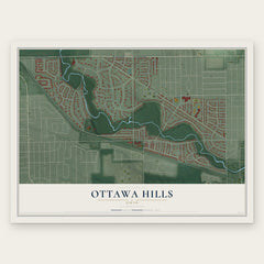
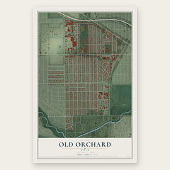
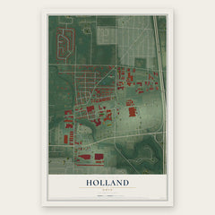
More maps nearby: Berkey, Ottawa, Library Village, Toledo and Crissey.
The art of mapping a place
How This Map Was Made
Real places. Remarkable detail. Discover the layers that turn geographic data into a map of home.

The view from above
Aerial imagery reveals the character of the land: woodland, open fields, and the patterns of a place.

The shape of the land
Elevation data brings hills, valleys, and subtle changes in the landscape into view.

The details of home
Roads, waterways, and building footprints come together to make the map feel unmistakably local.

Geography becomes art
Considered color, shading, and typography bring the layers together in a map made for your wall.


Process illustrated with Mendon, Massachusetts. Aerial imagery: USDA NAIP. Terrain: USGS 3D Elevation Program. Map details and finished artwork: KNOWOL.
The Details
About This Print
Choose an archival matte print, or a black or white Ayous wood frame. The archival matte print is unframed.
Select your size and finish above to see the matching product image and price.
Materials & Craftsmanship
A contemporary map with the character of a classic atlas, printed on archival matte paper. Optional frames are made from Ayous wood.
Your printed map does not include the watermark shown in the full-map preview.
Shipping & Delivery
Free shipping within the United States. Every print is made to order in the USA.
Buying a gift? Add a note in your cart and we'll include it. We never put prices in the package.
Prints ship within 2 to 3 business days. Allow 7 to 10 days total from ordering for delivery. Timing may vary during holidays or periods of high order volume.
Read our shipping policy.
Returns and damaged prints
Each print is made to order. Change-of-mind refunds are not available after production.
If your print arrives damaged, misprinted or incorrect, contact support@knowol.com within 30 days of receiving it. Include your order number, photos and a description of the issue.
Read our full refund and replacement policy. For questions about your order, email support@knowol.com.