
Search for another town
Free U.S. delivery 7 to 10 days after you order
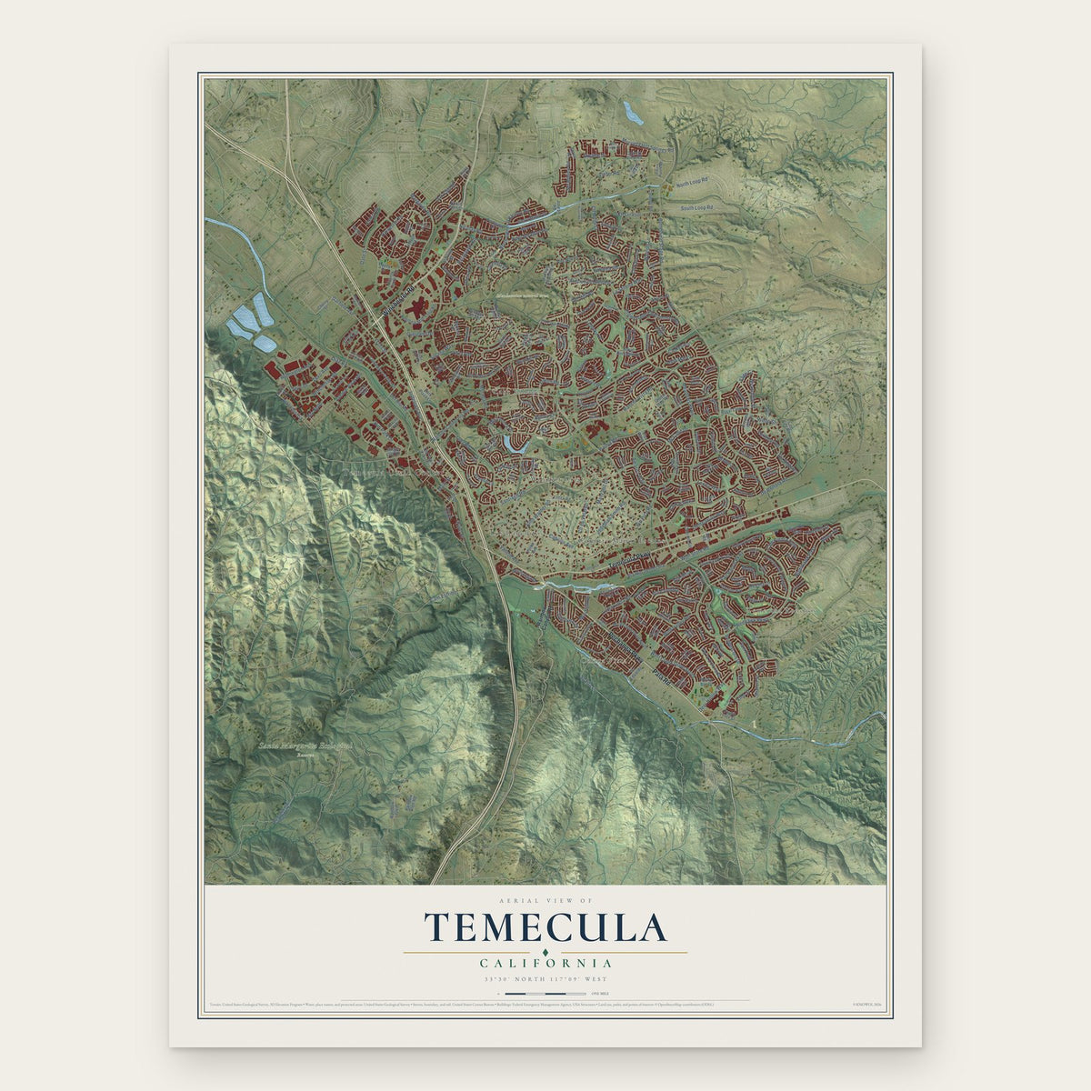
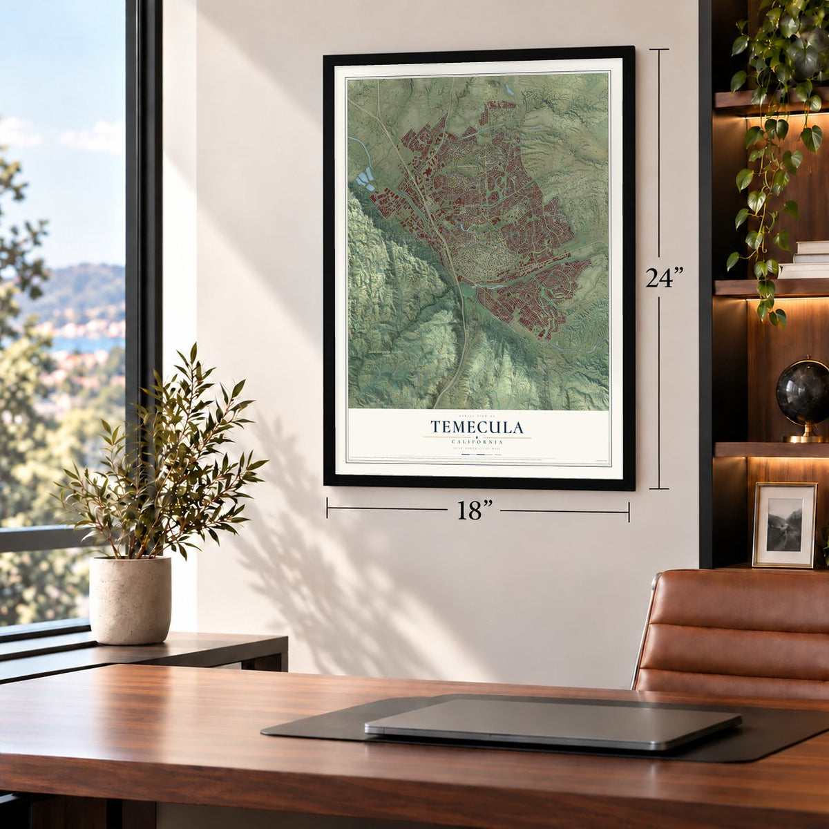
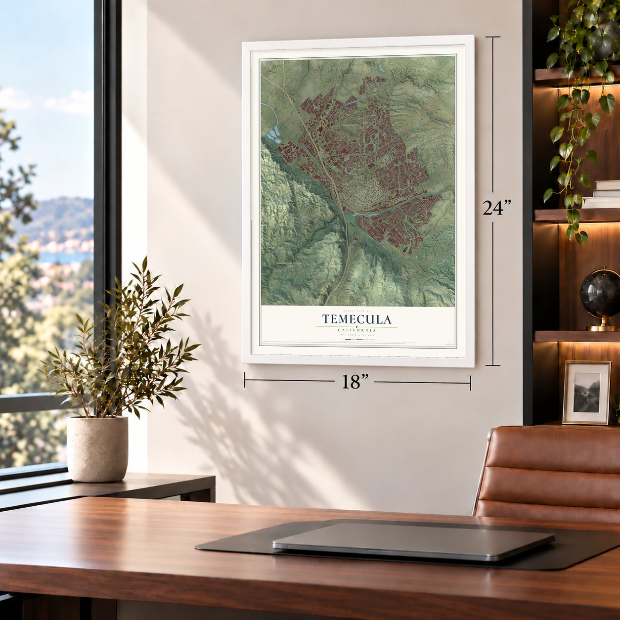
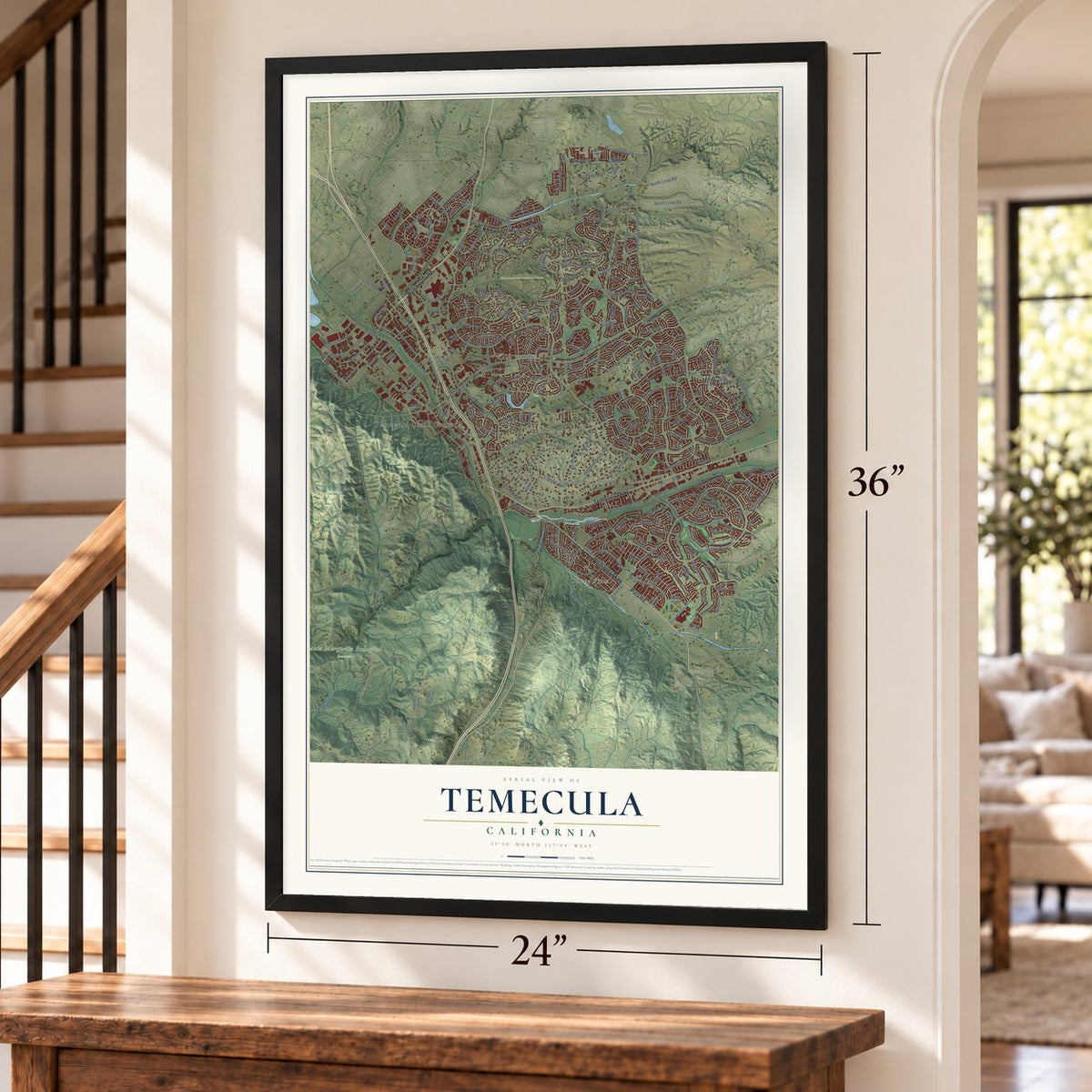
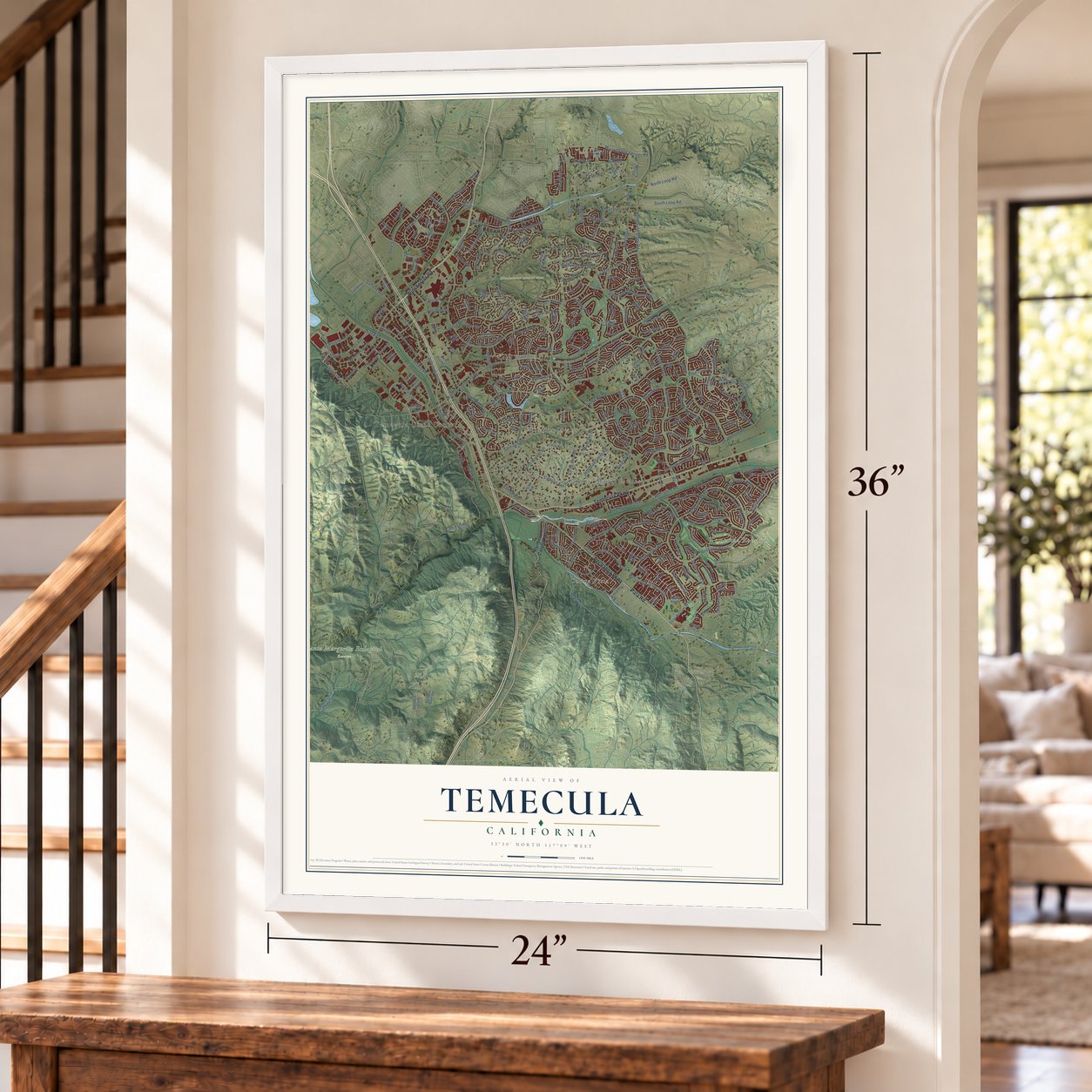
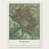
Temecula, California Map Art
Building by building, with labeled streets and shaded relief.
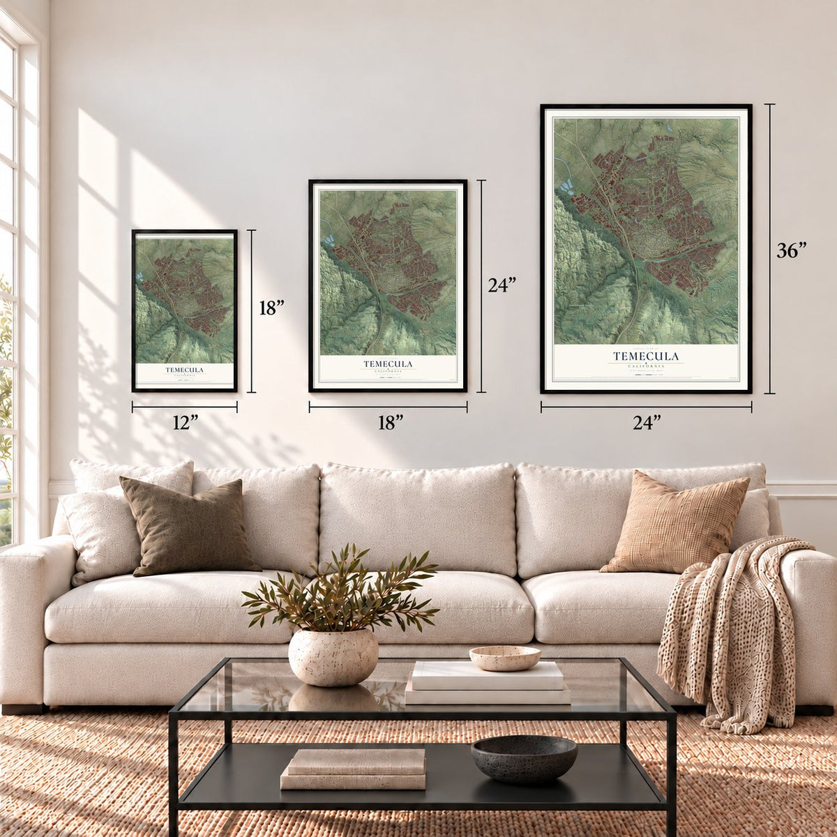
12" x 18" Archival Matte Print
A Map of Home. A Work of Art.
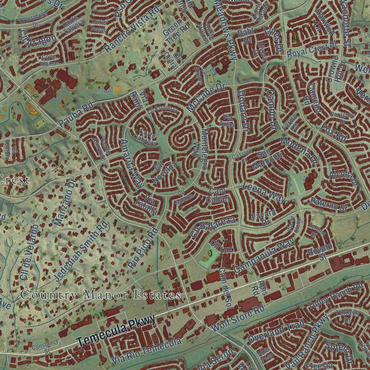
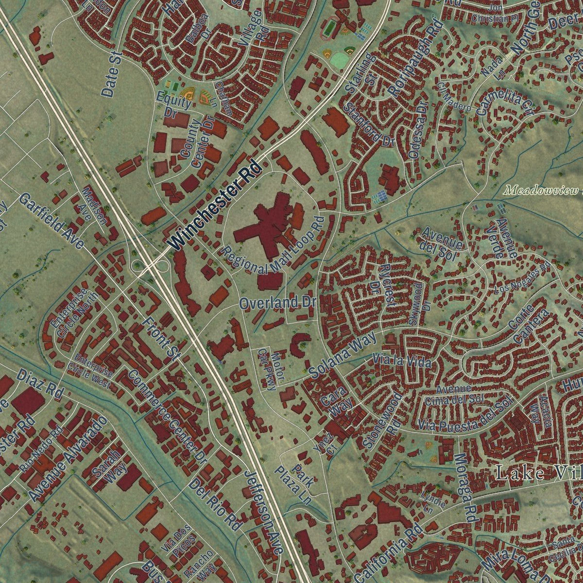
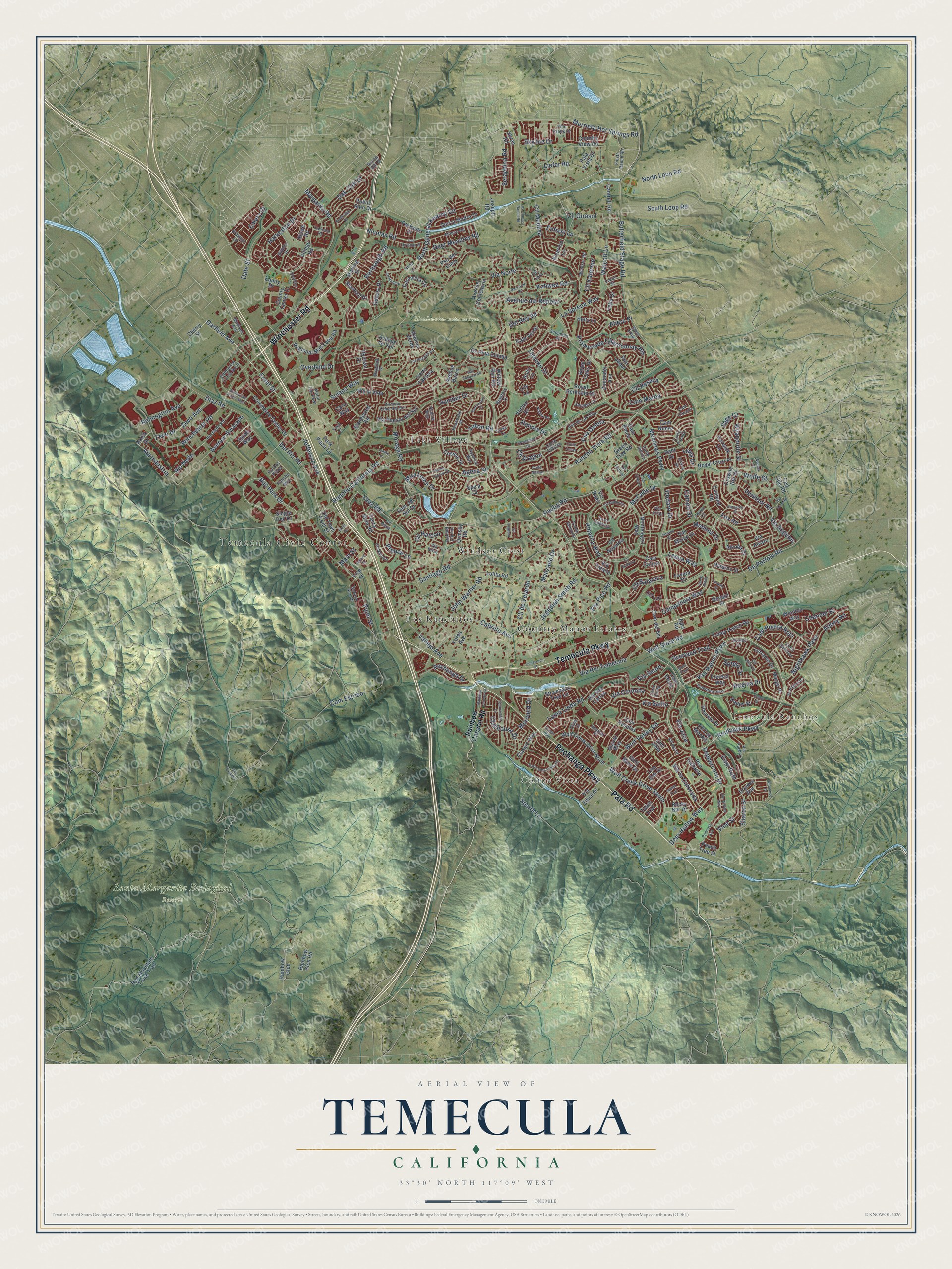
Explore Temecula, California from a whole new perspective. Created using aerial imagery and detailed geographic data, this map captures Temecula building by building, with labeled streets, familiar landmarks, and shaded topographical relief that highlights the natural contours of the landscape.
Combining modern data with the timeless character of a vintage atlas, this map is just as interesting up close as it is beautiful on the wall. Whether you grew up in Temecula, spent memorable years there, or call it home today, this unique map is a great way to celebrate a place that means something to you. Zoom in on the preview to look for your street, and then order a print to put your memories on the wall.
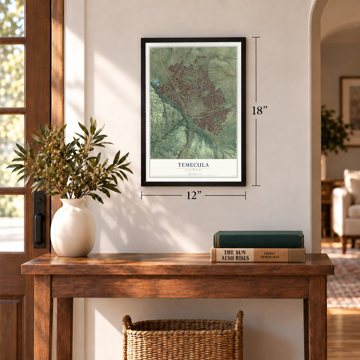
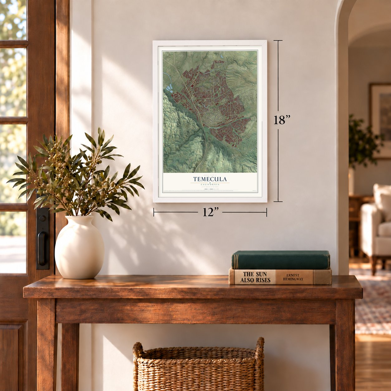
Three ways to hang it
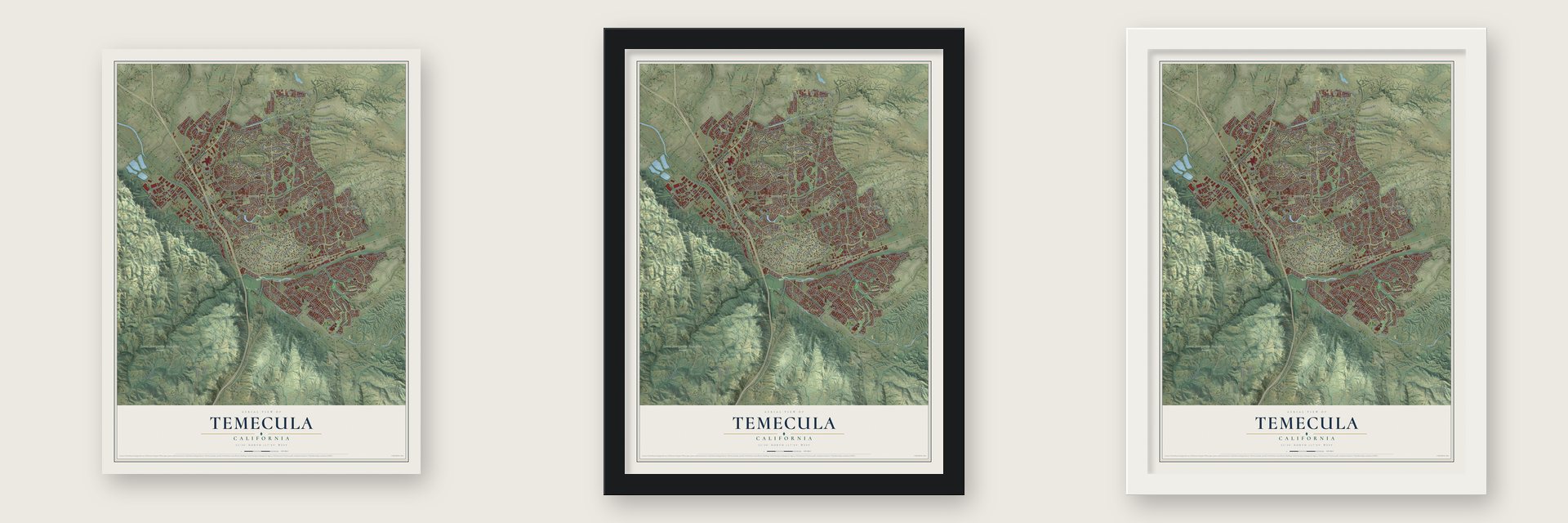
Unframed archival matte, a black wood frame or a white wood frame.
Up close
Geography Worth Displaying
This map was created using accurate cartographic data and authoritative geographic sources, including the U.S. Geological Survey and the Census Bureau. The map brings together terrain, waterways, roads, and building detail. The majority of the streets are labeled, houses are accurately depicted, and the topography is derived from government sources. Combining local data with carefully composed color and shading leads to this beautifully detailed Temecula artwork for your wall.
Rather than simply showing street outlines, we’ve included as many of the street names as we could reasonably fit on the map while keeping their names legible. Zoom in on the high resolution preview to see exactly what’s on the map. We truly set out to create a statement piece for anyone who loves Temecula. So whether it’s for you, or a gift for someone you love, we hope this map of Temecula brings back fond memories.
Read the story behind this map of Temecula, California from 2026.
Find your street
Names on the Temecula map
Every name below is printed on this map. Look for your street, your school, the park where you played, or the pond down the road.
Places and landmarks9
- Temecula Civic Center
- Temecula Ranchos
- Colina Vista
- Meadowview natural area
- Santa Margarita Ecological Reserve
- Country Manor Estates
- Lake Village
- Los Ranchitos
- Windsor Crest
Streets and roads319
- Temecula Parkway
- Winchester Road
- Pechanga Parkway
- Pala Road
- Margarita Road
- Butterfield Stage Road
- Redhawk Parkway
- Nicolas Road
- Front Street
- Diaz Road
- Bus Park Drive
- Vail Ranch Parkway
- Fox Road
- Garfield Avenue
- Cll Girasol
- Cam Rubi
- Vermont Road
- Ynez Road
- Rancho California Road
- Pauba Road
- Meadows Parkway
- Rancho Vista Road
- De Portola Road
- Santiago Road
- Via Norte
- Jefferson Avenue
- Del Rey Road
- Vallejo Avenue
- La Serena Way
- Loma Linda Road
Show all 319 streets
- Harveston Drive
- Solana Way
- North General Kearny Road
- Cll Medusa
- Cam Estribo
- Jedediah Smith Road
- Wolf Store Road
- Promenade Chardonnay Hls
- Mira Loma Drive
- Date Street
- Humber Drive
- Campanula Way
- Pujol Street
- Amarita Way
- Nighthawk Pass
- Avenue Alvarado
- South Loop Road
- Wolf Creek Drive South
- Wolf Valley Road
- Via Cordoba
- Deer Hollow Way
- Cabrillo Avenue
- Roripaugh Road
- Rio Nedo
- Liefer Road
- Overland Drive
- Honors Drive
- Pio Pico Road
- North Loop Road
- Avenue del Reposo
- Temeku Drive
- Murrieta Hot Springs Road
- Agena Street
- Walcott Lane
- Leena Way
- Clubhouse Drive
- Remington Avenue
- Enfield Lane
- Zevo Avenue
- Zevo Drive
- John Warner Road
- Via Saltio
- Via Rio Temecula
- Wolfe Street
- Sharon Street
- Channel Street
- Cll de Velardo
- Via Industria
- Pso Goleta
- Oak Cliff Drive
- Kahwea Road
- Deer Meadow Road
- Overland Trail
- Del Rio Road
- Cam Marea
- Preece Lane
- Via la Colorada
- Pechanga Drive
- Cam Piedra Rojo
- Wyandotte Street
- Seraphina Road
- Cll Resaca
- Campo Drive
- Cll Katerine
- Sparta Lane
- Abbey Road
- Peppercorn Drive
- Dodaro Drive
- Modena Drive
- Muirfield Drive
- Manzano Drive
- Cll Balareza
- Yukon Road
- Moraga Road
- Via Seron
- Regina Drive
- McCabe Drive
- Cll Halcon
- Via Angeles
- Skyline Drive
- Vine Street
- Main Street
- Cll Aragon
- Lyles Drive
- Via Jaca
- Sotelo Drive
- Sage Court
- Ahern Place
- Emery Drive
- Rainbow Canyon Road
- Old Town Front Street
- Cara Way
- Holly Lane
- Rainbow Glen
- Country View Road
- Cherry Street
- Freesia Way
- Stowe Road
- Red Mountain Truck Trail
- Crowne Hill Drive
- Regional Mall Loop Road
- Montelegro Way
- Wolf Creek Drive North
- Peach Tree Street
- Cll Pina Colada
- Classic Way
- Via la Vida
- Tierra Vista Road
- Commerce Center Drive
- Sierra Madre Drive
- Cosmic Drive
- Strawberry Tree Lane
- Green Tree Road
- Camelot Road
- Rustic Glen Drive
- Riverton Lane
- Carmelita Circle
- Royal Oaks Drive
- Via Puesta del Sol
- Heitz Lane
- Alcoba Drive
- Cebu Drive
- Tiburcio Drive
- Royal Crest Place
- Yorba Avenue
- Rainbow Glen Road
- Tulley Ranch Road
- County Center Drive
- Drymen Avenue
- Pso del Cielo
- San Marco Drive
- Royal Berkdale Drive
- Via San Carlos
- Cam Nunez
- Rue Jadot
- Cll Novelda
- Ormsby Road
- Cam Rosales
- Pso Gallante
- Winston Way
- Corte Cantera
- Favara Drive
- Odessa Drive
- Willow Run Road
- Cam del Sol
- Village Road
- Via Eduardo
- Vardon Drive
- Shree Road
- Stonewood Road
- Cantrell Road
- Rycrest Drive
- Lolita Road
- Park Plaza Lane
- Live Oak Drive
- Avenue Barca
- Avenue Centenario
- Marge Place
- Lorraine Drive
- Cmt Olite
- Paterno Street
- Zinfandel Avenue
- Stanford Drive
- Jaguar Way
- Cee Cee Road
- Cam Verde
- Rocky Bar Drive
- Poppy Street
- Harwick Lane
- Cam Romo
- Cll Los Mochis
- Single Oak Drive
- Cam Caliari
- Via Alvaro
- Parkside Drive
- Starling Street
- Teton Trail
- Pala Vista Drive
- Avenue del Sol
- First Street
- Cam Veste
- Sarah Way
- Cam del Sol Drive
- Joseph Road
- Equity Drive
- Gold Mine Drive
- Roick Drive
- Avenue Verde
- Apis Road
- Via Tafalla
- Cll Luz
- Rovato Street
- Via Rami
- Lily Lane
- Spica Court
- Dahl Drive
- Rio Nedo Road
- Sabana Aire Drive
- Pso de Las Olas
- Enterprise Circle North
- Valentino Way
- Avenue Cima del Sol
- Milano Road
- Via Puebla
- Madison Avenue
- Saint Croix
- Balboa Drive
- Sandhill Lane
- Corte Cabrera
- Cll Nacido
- Cll Reva
- Cam Casana
- Corte Almonte
- Windsor Road
- Corte Villosa
- Nada Lane
- Via Arias
- Terrace Drive
- Rancho Way
- Asteroid Way
- Motor Car Parkway
- Roanoake Street
- Corte Parado
- Ynez Court
- Cll Tiara
- Fiesta Ranch Road
- Seminole Street
- Cll Ayora
- Corte Talvera
- Corte Sanchez
- Branford Drive
- Polo Creek Drive
- Cll Cedral
- Skywood Drive
- Brandon Lane
- Rivera Drive
- Seastar Place
- Acacia Way
- Via Dos Picos
- Vis del Rancho
- Rising Hill Drive
- Luzon Street
- Cll Hilario
- Links Court
- Fermo Court
- Corte Zorita
- Olive Court
- Via Brisa
- East Loma Linda Road
- Romance Place
- San Pasqual Road
- Crystalaire Drive
- Via de Stello
- Enterprise Circle West
- Santa Cecilia Drive
- Jon Christian Place
- Old Kent Road
- Primrose Avenue
- Tournament Lane
- Paraguay Drive
- Jon William Way
- Los Nogales Road
- Knollridge Drive
- Hunter Trail
- Niblick Road
- Barrington Drive
- Sixth Street
- Chatham Lane
- Cll Espinoza
- Cll Madero
- Teramo Street
- Constance Street
- Los Choras Ranch Road
- Cassino Court
- Baccarat Road
- Cam Alagon
- Kaffirboom Court
- Musilek Place
- Yucca Street
- Corte Alamar
- Township Road
- Via Tornado
- Second Street
- Cll Galarza
- Cll Ventura
- Lyndie Lane
- Aspen Way
- Corte Tunas
- Akes Pass
Names are listed as they appear on the printed map. Zoom into the product photos to find them.
About Temecula, California
Temecula is a city of 110,003 people in Riverside County. Luiseño people lived in this valley long before the Spanish arrived, and the Pechanga Band teaches that life on Earth began here. In October 1797 a Franciscan priest, Father Juan Norberto de Santiago, rode through with Captain Pedro Lisalde, and his journal noted an Indian village called Temecula.
In 1839 Pío Pico asked the Mexican governor for Temecula's land and was given temporary control. The Luiseños living there pushed back, and in November 1840 they armed themselves and threatened a large revolt unless his cattle left, so Pico was forced out. Ranches and stage stops followed, and on December 1, 1989, Temecula became a city, with Ron Parks as its first mayor.
- A post office in 1859Within a year of a local stage route starting in 1857, the Butterfield Overland Mail began stopping at the Magee Store. On April 22, 1859, a post office opened inside that store, the first in inland Southern California and the second in the state after San Francisco. Stages kept running the route until the railroad reached Fort Yuma in 1877.
- Louis Wolf and RamonaLouis Wolf, Temecula's first Jewish settler, was a merchant and postmaster who married Ramona Place in 1862. Helen Hunt Jackson stayed with the couple in 1882 and 1883, and his store became Hartsel's store in her 1884 novel Ramona. The Wolf Store and Vail Ranch Headquarters joined the National Register in 2023.
- The Vail RanchWalter Vail came to California in 1904 and bought 38,000 acres of Rancho Temecula and Rancho Pauba, plus the north half of Rancho Little Temecula. A Los Angeles streetcar killed him in 1906, and his son Mahlon ran the ranch, which grew past 87,500 acres by 1947. The family dammed Temecula Creek in 1948 to make Vail Lake, and in 1964 they sold the ranch, which became Rancho California.
- Wine country and a boomThe local wine region won its official designation in 1984 and was renamed the Temecula Valley AVA in 2004. When Interstate 15 was finished in 1985, people could live here and drive to work in San Diego County. The whole area had counted 2,769 people in 1970, and the first census of Temecula as a city, in 1990, counted 27,099.
Keep exploring California
Temecula is one of 1,990 California towns we've mapped. Every dot on the map is a print of its own.
The search covers every state, California first.
Near Temecula
Order 2 or more town maps and save 10%. Shown in the size and finish you picked above, so they hang as a set.
- Rainbow 12" x 18" / Archival Matte Print $39.99
- Murrieta 12" x 18" / Archival Matte Print $39.99
- French Valley 12" x 18" / Archival Matte Print $39.99
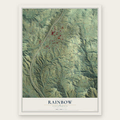
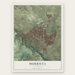
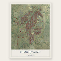
More maps nearby: Pala, Fallbrook, Wildomar, Menifee and Sage.
The art of mapping a place
How This Map Was Made
Real places. Remarkable detail. Discover the layers that turn geographic data into a map of home.

The view from above
Aerial imagery reveals the character of the land: woodland, open fields, and the patterns of a place.

The shape of the land
Elevation data brings hills, valleys, and subtle changes in the landscape into view.

The details of home
Roads, waterways, and building footprints come together to make the map feel unmistakably local.

Geography becomes art
Considered color, shading, and typography bring the layers together in a map made for your wall.


Process illustrated with Mendon, Massachusetts. Aerial imagery: USDA NAIP. Terrain: USGS 3D Elevation Program. Map details and finished artwork: KNOWOL.
The Details
About This Print
Choose an archival matte print, or a black or white Ayous wood frame. The archival matte print is unframed.
Select your size and finish above to see the matching product image and price.
Materials & Craftsmanship
A contemporary map with the character of a classic atlas, printed on archival matte paper. Optional frames are made from Ayous wood.
Your printed map does not include the watermark shown in the full-map preview.
Shipping & Delivery
Free shipping within the United States. Every print is made to order in the USA.
Buying a gift? Add a note in your cart and we'll include it. We never put prices in the package.
Prints ship within 2 to 3 business days. Allow 7 to 10 days total from ordering for delivery. Timing may vary during holidays or periods of high order volume.
Read our shipping policy.
Returns and damaged prints
Each print is made to order. Change-of-mind refunds are not available after production.
If your print arrives damaged, misprinted or incorrect, contact support@knowol.com within 30 days of receiving it. Include your order number, photos and a description of the issue.
Read our full refund and replacement policy. For questions about your order, email support@knowol.com.