
Search for another town
Free U.S. delivery 7 to 10 days after you order
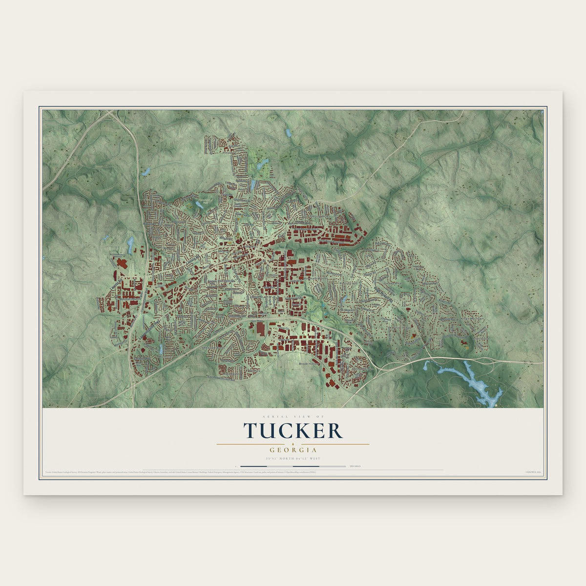
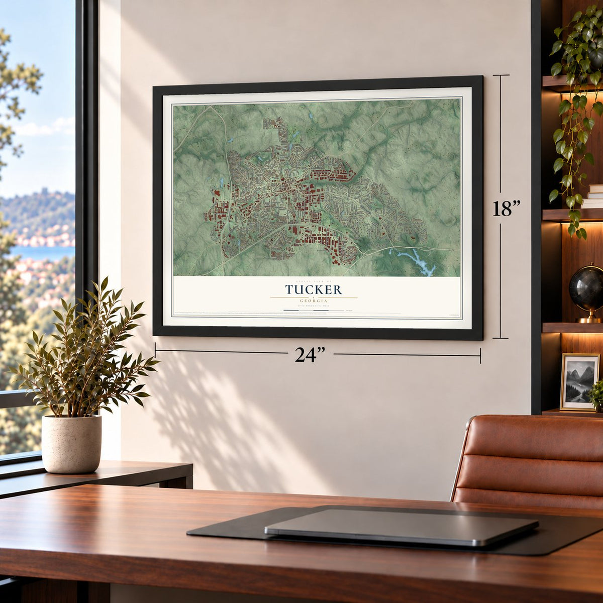
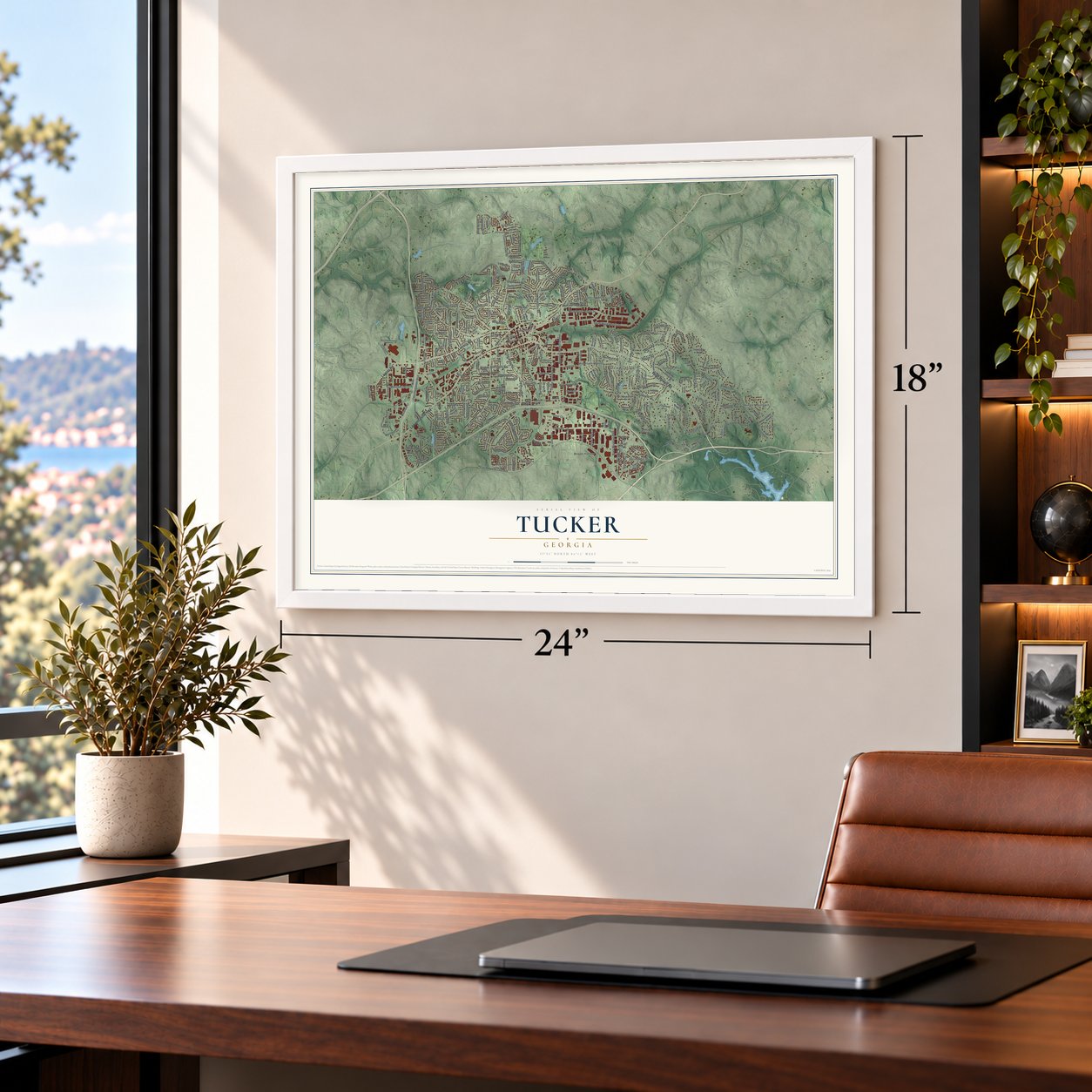
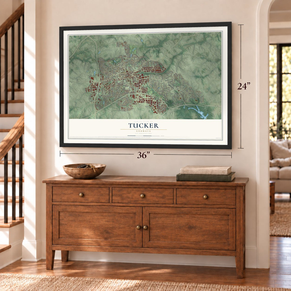
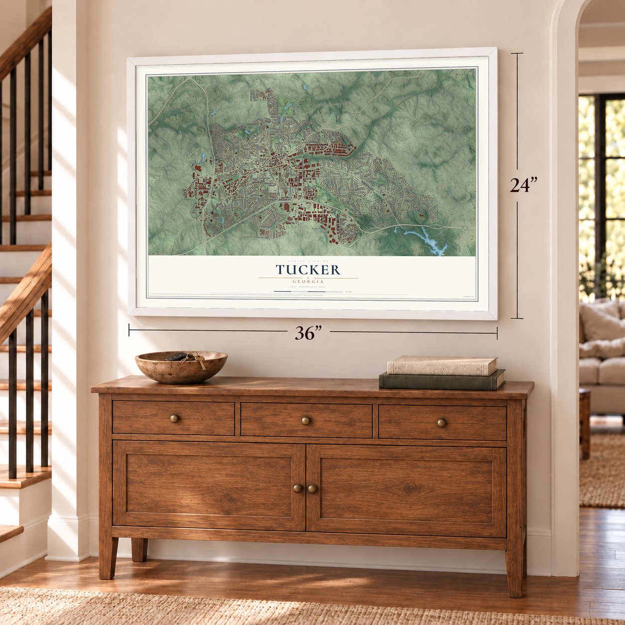
Tucker, Georgia Map Art
Building by building, with labeled streets and shaded relief.
12" x 18" Archival Matte Print
A Map of Home. A Work of Art.
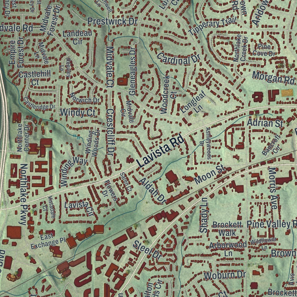
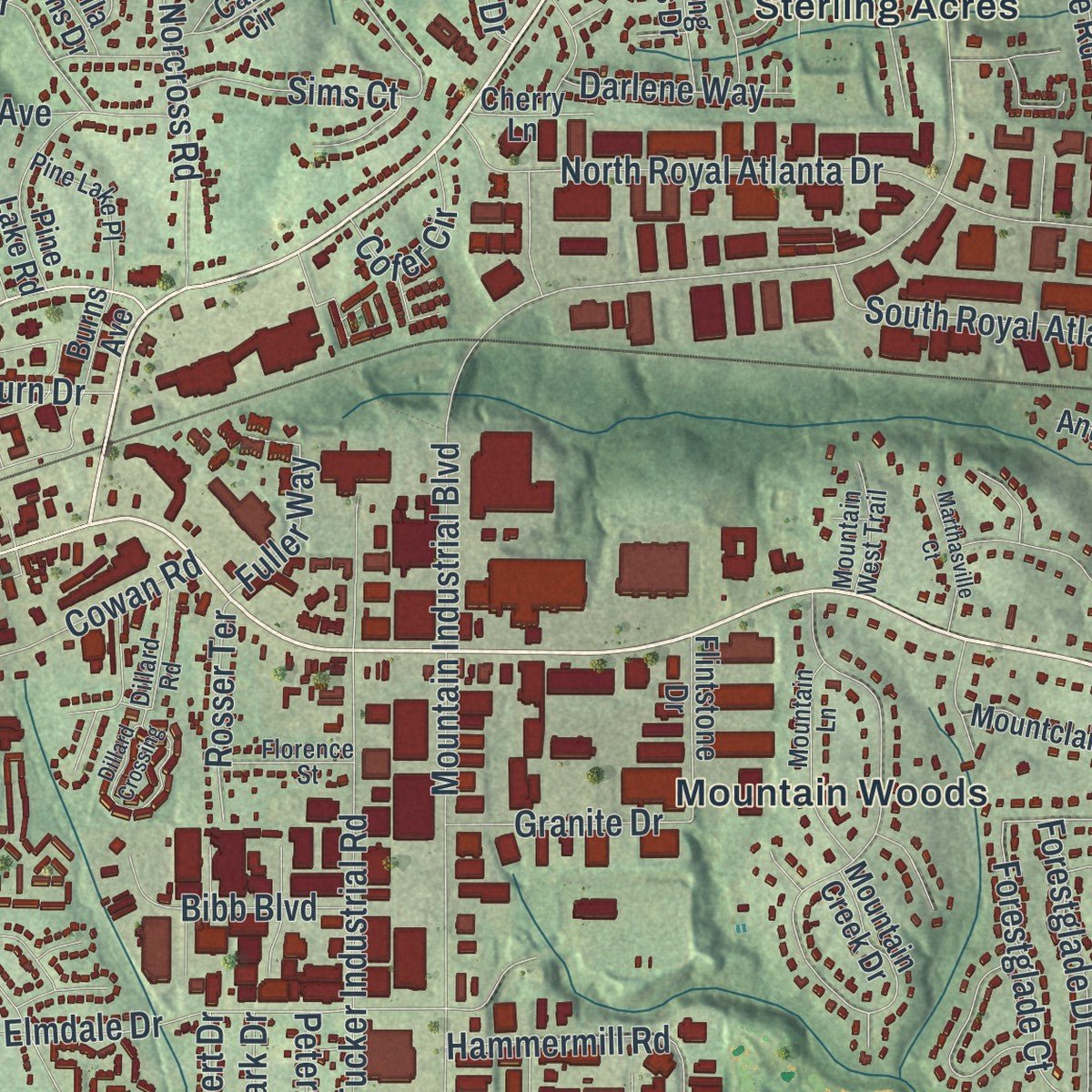
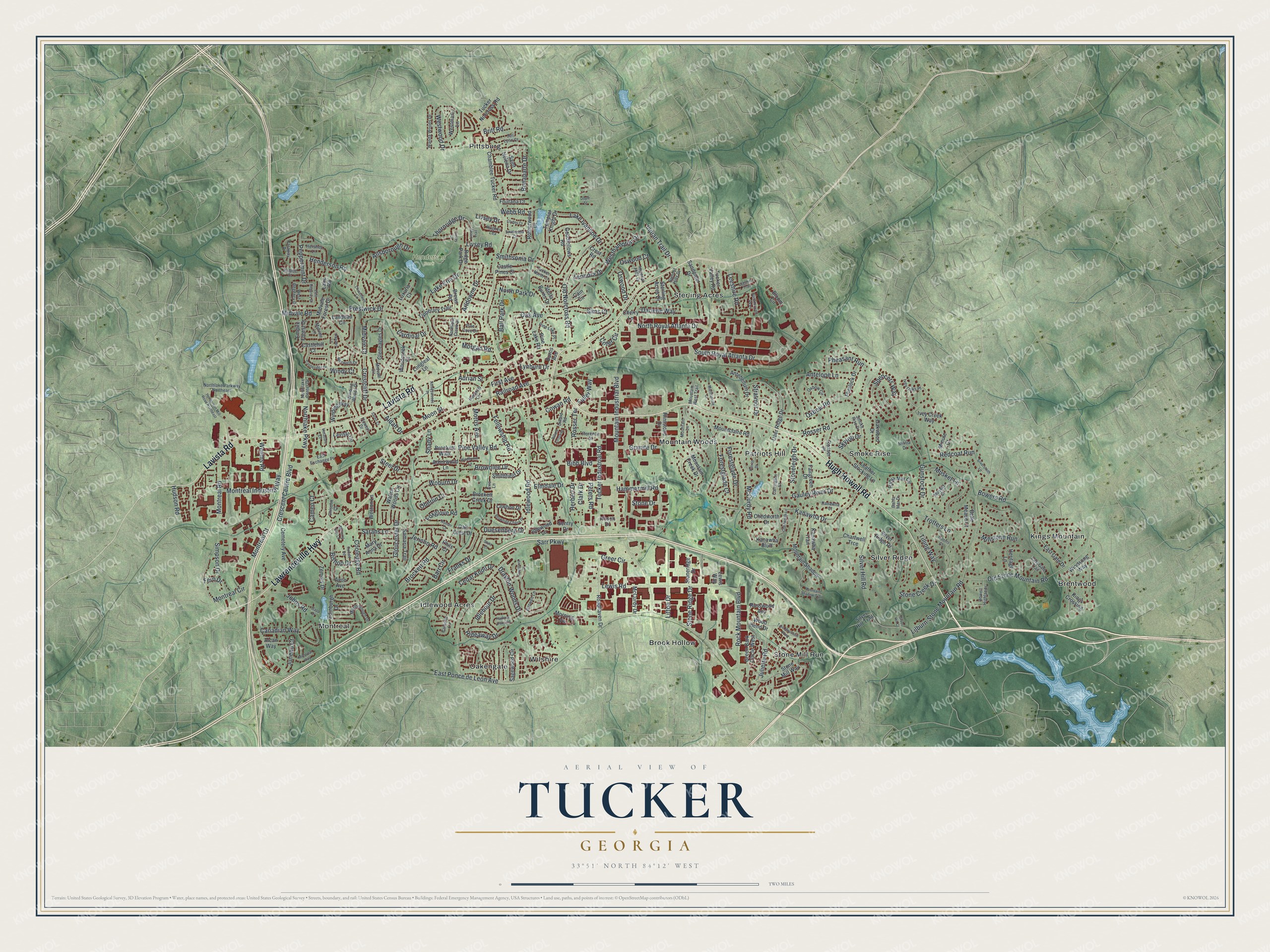
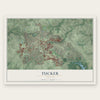
Explore Tucker, Georgia from a whole new perspective. Created using aerial imagery and detailed geographic data, this map captures Tucker building by building, with labeled streets, familiar landmarks, and shaded topographical relief that highlights the natural contours of the landscape.
Combining modern data with the timeless character of a vintage atlas, this map is just as interesting up close as it is beautiful on the wall. Whether you grew up in Tucker, spent memorable years there, or call it home today, this unique map is a great way to celebrate a place that means something to you. Zoom in on the preview to look for your street, and then order a print to put your memories on the wall.
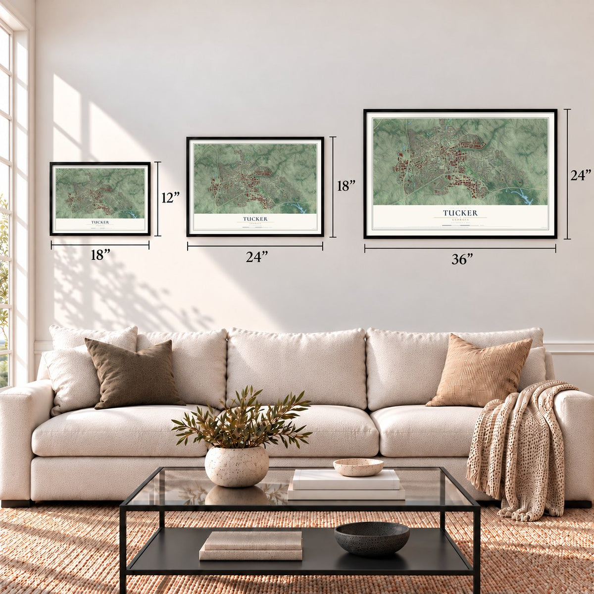
Three ways to hang it
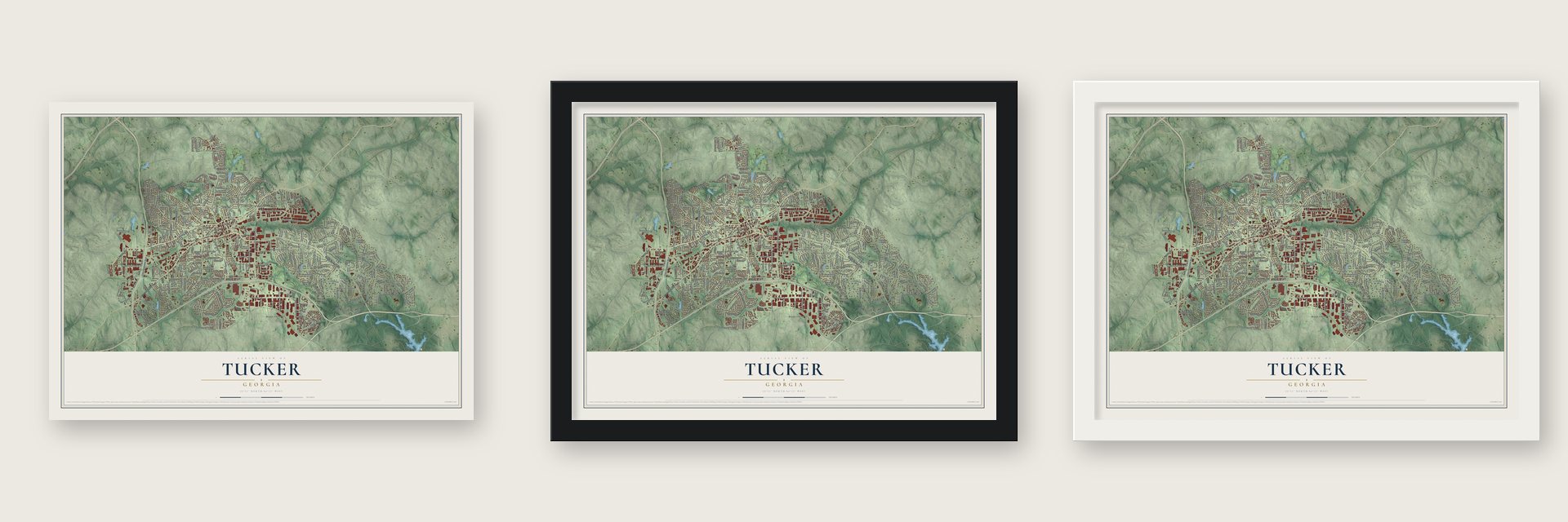
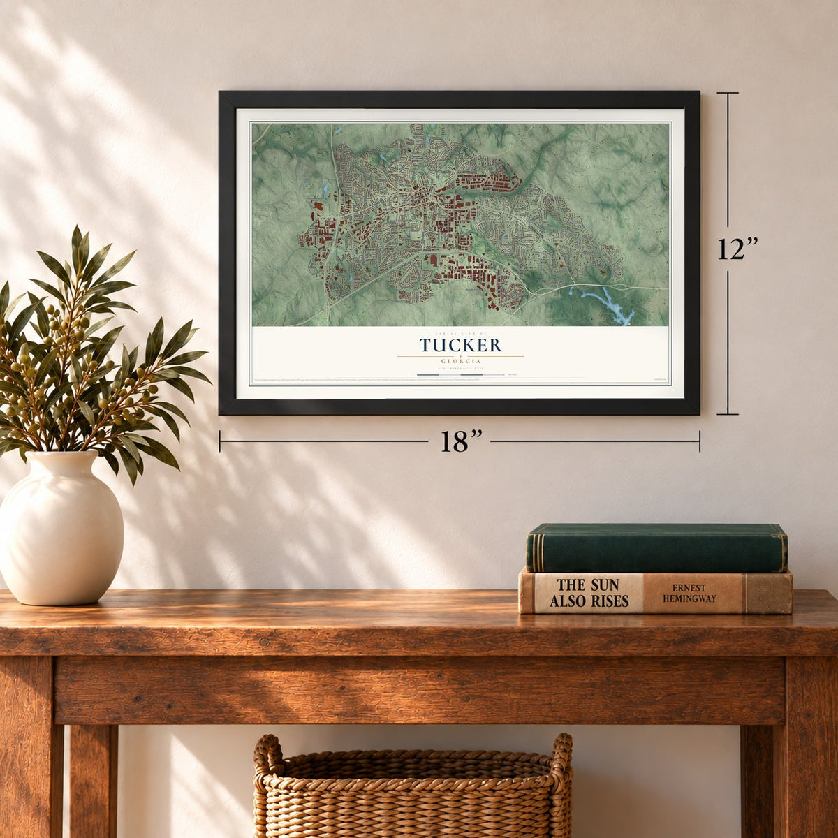
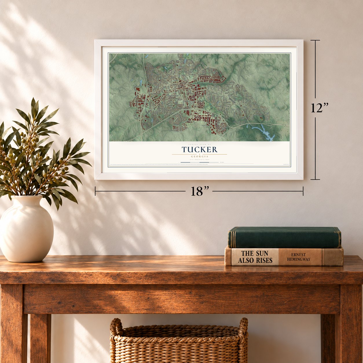
Unframed archival matte, a black wood frame or a white wood frame.
Up close
Geography Worth Displaying
This map was created using accurate cartographic data and authoritative geographic sources, including the U.S. Geological Survey (USGS) and FEMA. The map brings together terrain, waterways, roads, and building detail. The majority of the streets are labeled, houses are accurately depicted, and the topography is derived from government sources. Combining local data with carefully composed color and shading leads to this beautifully detailed Tucker artwork for your wall.
Rather than simply showing street outlines, we’ve included as many of the street names as we could reasonably fit on the map while keeping their names legible. Zoom in on the high resolution preview to see exactly what’s on the map. We truly set out to create a statement piece for anyone who loves Tucker. So whether it’s for you, or a gift for someone you love, we hope this map of Tucker brings back fond memories.
Explore the full map of Tucker, Georgia and read about the local places it shows.
Find your street
Names on the Tucker map
Every name below is printed on this map. Look for your street, your school, the park where you played, or the pond down the road.
Places and landmarks15
- Henderson Park
- Brentwood
- Brook Hollow
- Idlewood Acres
- Kings Mountain
- Montreal
- Mountain Woods
- Oakengate
- Patriots Hill
- Pittsburg
- Silver Ridge
- Smoke Rise
Show all 15 places
- Sterling Acres
- Stone Mill Run
- Wilshire
Streets and roads289
- Hugh Howell Road
- Lawrenceville Highway
- Lavista Road
- Bowers Road
- Indian Trail Drive
- East Ponce de Leon Avenue
- Mountain Industrial Boulevard
- Idlewood Road
- Brockett Road
- Silver Hill Road
- Montreal Road
- Henderson Road
- Lilburn-Stone Mountain Road
- North Royal Atlanta Drive
- Midvale Road
- Fellowship Road
- Lewis Road
- Northlake Parkway
- Old Norcross Road
- Old Stone Mountain Road
- Tucker Industrial Road
- McCurdy Road
- Drayton Woods Drive
- Juliette Road
- Montreal Circle
- Spencers Way
- Rosser Road
- Hammermill Road
- South Royal Atlanta Drive
- Cooledge Road
Show all 289 streets
- Antelope Lane
- Sarr Parkway
- Millstone Run
- Canadian Way
- Gunstock Drive
- Kanawha Drive
- Musket Lane
- Railroad Avenue
- Oxbow Road
- Elmdale Drive
- Trotters Lane
- Rock Mountain Boulevard
- Gloucester Drive
- Crescent Centre Boulevard
- Oak Avenue
- Forestglade Court
- Greer Circle
- Bonaparte Drive
- Montreal Industrial Way
- Gauley River Drive
- Litton Drive
- Arldowne Drive
- North Park Drive
- Lake Erin Drive
- Allsborough Drive
- Lake Ivanhoe Drive
- Brownlee Drive
- Sims Court
- Westhampton Drive
- Crestcliff Drive
- Steel Drive
- Stoneleigh Drive
- Ball Park Drive
- Forestglade Drive
- Westwood Drive
- Woburn Drive
- First Avenue
- Redcoat Run
- Barr Circle
- Leeshire Road
- Morgan Road
- Thornridge Drive
- Montreal Court
- Prestwick Drive
- Pine Valley Road
- Peppermint Drive
- Lynburn Drive
- Smithsonia Drive
- Bibb Boulevard
- Hideaway Drive
- Cowan Road
- Oswood Court
- Tilling Way
- Britt Road
- Moon Street
- Idlehour Drive
- Granite Drive
- Duesenberg Drive
- Webb Road
- Cedar Knoll Drive
- Stone Ridge Drive
- Leonora Drive
- Darlene Way
- Rosser Terrace
- Livsey Road
- Stone Creek Drive
- Fern Drive
- Pheasant Run
- Bishop Drive
- Morris Avenue
- Shady Lane
- Stratmor Drive
- Cofer Circle
- Sarahs Lane
- Clark Drive
- Oswood Drive
- Simpson Drive
- Foxglove Road
- Juneau Court
- Jericho Road
- Johns Road
- Hudson Road
- Franks Drive
- Aldah Drive
- Peters Road
- Fuller Way
- Weems Road
- Midvale Court
- Livsey Drive
- Herbert Drive
- Cardinal Drive
- Oberlin Court
- Adrian Street
- Cameo Court
- Stone Drive
- Skytop Drive
- Windy Court
- Russwood Avenue
- Chamblee Tucker Road
- Mountain Creek Drive
- Silver Ridge Drive
- Deer Ridge Drive
- Wood Bend Drive
- Sandpiper Drive
- Leather Stocking Lane
- Edinburgh Drive
- East Gate Drive
- Sagewood Circle
- Antebellum Drive
- Mountain Shadow
- Chedworth Drive
- Roadhaven Drive
- Gleneagles Drive
- Lavista Circle
- Goodfellows Road
- Kanawha Bluff
- Brown Road
- Bahia Mar Circle
- Chartwell Trce
- Rosser Place
- Pine Lake Road
- Stone Mill Way
- Tucker Norcross Road
- Kings Crossing
- Oak Crest Drive
- Rotherwood Drive
- Landeau Circle
- Fairgreen Drive
- Westmart Lane
- Avon Avenue
- Walton Woods Circle
- Midvale Forest Drive
- Zemory Drive
- Samaria Trail
- Heritage Lane
- Idlewood Lane
- Mary Anna Drive
- Kanawha Trail
- Cemetery Avenue
- Weston Lane
- Mountclaire Road
- Tipperary Trail
- Oakwood Drive
- Windsong Way
- Flintstone Drive
- Flintlock Drive
- Brockett Creek Drive
- Lawhon Drive
- Saint Helena Drive
- Sterling Acres Drive
- Smithfield Drive
- Winding Way
- Empire Forest Drive
- Castle Pines Court
- Ivey Creek Way
- Stoneridge Drive
- Fontana Court
- Longleaf Lane
- Green Bark Circle West
- Templar Knight Drive
- Silver Hill Trail
- Woodcreek Court
- Alcan Way
- McCurdy Drive
- Minute Court
- Arborwood Lane
- Crest Road
- Brockett Walk
- Lake Road
- Lewis Way
- Castlehill Court
- Morning Vw
- Sentry Drive
- Stella Burns Drive
- Tucker Valley Road
- Cherry Lane
- Burns Avenue
- Belle Meade Court
- Cain Circle
- Luxuria Court
- Ridge Park Drive
- Hirsch Drive
- Bloom Circle
- Phils Court
- Northlake Creek Drive
- Northlake Parkway Northeast
- Smoke Rise Drive
- Marlborough Drive
- Oxbow Circle
- Bancroft Circle
- Wanda Woods Drive
- Winding Woods Drive
- Midvale Circle
- Mountain Lane
- West Regency Drive
- Pine Cove Drive
- Hershey Lane
- Howell Highlands
- Pine Lake Place
- Ivey Oaks Place
- Avis Lane
- Caraway Drive
- Norwich Drive
- East Exchange Place
- Musket Court
- Imperial Hills Drive
- East Gate Trail
- Florence Street
- Mountain West Trail
- Dillard Road
- Darwen Lane
- Tucker North Court
- Hughes Lea
- Camelot Lane
- Carrington Court
- Northlake Center Drive
- Summit Hills Drive
- Kanawha Court
- Jeri Lynn Court
- Palace Court
- Flowers Drive
- Midvale Lane
- Chisolm Court
- Bahia Mar Drive
- Militia Drive
- Tree Mountain Parkway
- Harbour Oaks Road
- Henderson Mill Road Northeast
- Summerwalk Parkway
- Silversmith Lane
- Mountain Shadow Trail
- Dillard Crossing
- Patriot Drive
- Castleridge Drive
- Churchwell Lane
- East Regency Drive
- Browning Chase Drive
- Montreal Way
- Livsey Trail
- Roman Court
- Brantford Drive
- Chedworth Lane
- Reevley Lane
- Marthasville Court
- Smithsonia Court
- Ashleywoods Drive
- Wildflower Lane
- Leeshire Trail
- Clydes Court
- Ronald Road
- Vistadale Court
- Stapp Drive
- Morning Star Lane
- Saren Court
- Trotters Court
- Livsey Court
- Silver Hill Court
- Doyle Street
- Stutz Court
Names are listed as they appear on the printed map. Zoom into the product photos to find them.
About Tucker, Georgia
Tucker is a city of 37,005 people in DeKalb County, about 15 miles northeast of downtown Atlanta. The Muscogee (Creek) Nation gave up this land in January 1821, and that May the state began drawing lots of 202.5 acres each in Milledgeville, for a fee of $19.00. DeKalb County was formed on December 9, 1822, and the area became its 18th District, known as the Brownings District.
In 1886 the Georgia, Carolina and Northern Railway was chartered to build a line from Monroe, North Carolina, to Atlanta, and the Seaboard Air Line Railroad leased it before it was done. Seaboard often named its new depots for company men, and this stop may honor Rufus S. Tucker, a Seaboard director and shareholder. The first train, two cars carrying 150 passengers, pulled in on Sunday, April 24, 1892, and two months later Alpheus G. Chewning became the first postmaster.
“prosperous and promising village on the Seaboard Air Line Railway... was named in honor of Capt. Tucker, an official of the Seaboard Air Railway.”
- Union troops in July 1864DeKalb County's delegates voted against secession, but Georgia left the Union in 1861 anyway. Union soldiers made their camp at Henderson's Mill in July 1864, tore up the railroad to Stone Mountain and made up the left wing of General Sherman's march toward Atlanta. They burned most of the area's buildings but spared the Brownings Courthouse, which they put to use. The Tucker Historical Society now holds Brownings Courthouse Day every year.
- The line's highest pointAt 1,117 feet above sea level, Tucker sits higher than any other spot on the railroad between Atlanta and Richmond, Virginia. The Eastern Continental Divide also crosses the city, so rain on its west side runs to the Chattahoochee and the Gulf of Mexico, while rain on the east side reaches the Atlantic by way of the Ocmulgee.
- A city since 2016In a November 2015 referendum, 73.94% of voters chose to make Tucker a city, a margin of 3 to 1. Residents elected the first mayor and city council in March 2016, and city status began that August.
- Tucker Day since the 1950sTucker Day, first held in the 1950s, brings a parade down Main Street along with food vendors, artists, musicians and merchants. Main Street also hosts the Taste of Tucker, the Tucker Chili Cook-Off and a monthly Cruise-In from April to September.
Keep exploring Georgia
Tucker is one of 1,042 Georgia towns we've mapped. Every dot on the map is a print of its own.
The search covers every state, Georgia first.
Near Tucker
Order 2 or more town maps and save 10%. Shown in the size and finish you picked above, so they hang as a set.
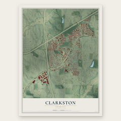
- Clarkston 12" x 18" / Archival Matte Print $39.99
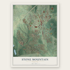
- Stone Mountain 12" x 18" / Archival Matte Print $39.99
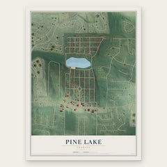
- Pine Lake 12" x 18" / Archival Matte Print $39.99
More maps nearby: Lilburn, Scottdale, Oak Grove, North Decatur and Doraville.
The art of mapping a place
How This Map Was Made
Real places. Remarkable detail. Discover the layers that turn geographic data into a map of home.

The view from above
Aerial imagery reveals the character of the land: woodland, open fields, and the patterns of a place.

The shape of the land
Elevation data brings hills, valleys, and subtle changes in the landscape into view.

The details of home
Roads, waterways, and building footprints come together to make the map feel unmistakably local.

Geography becomes art
Considered color, shading, and typography bring the layers together in a map made for your wall.


Process illustrated with Mendon, Massachusetts. Aerial imagery: USDA NAIP. Terrain: USGS 3D Elevation Program. Map details and finished artwork: KNOWOL.
The Details
About This Print
Choose an archival matte print, or a black or white Ayous wood frame. The archival matte print is unframed.
Select your size and finish above to see the matching product image and price.
Materials & Craftsmanship
A contemporary map with the character of a classic atlas, printed on archival matte paper. Optional frames are made from Ayous wood.
Your printed map does not include the watermark shown in the full-map preview.
Shipping & Delivery
Free shipping within the United States. Every print is made to order in the USA.
Buying a gift? Add a note in your cart and we'll include it. We never put prices in the package.
Prints ship within 2 to 3 business days. Allow 7 to 10 days total from ordering for delivery. Timing may vary during holidays or periods of high order volume.
Read our shipping policy.
Returns and damaged prints
Each print is made to order. Change-of-mind refunds are not available after production.
If your print arrives damaged, misprinted or incorrect, contact support@knowol.com within 30 days of receiving it. Include your order number, photos and a description of the issue.
Read our full refund and replacement policy. For questions about your order, email support@knowol.com.