
Search for another town



Free U.S. delivery 7 to 10 days after you order
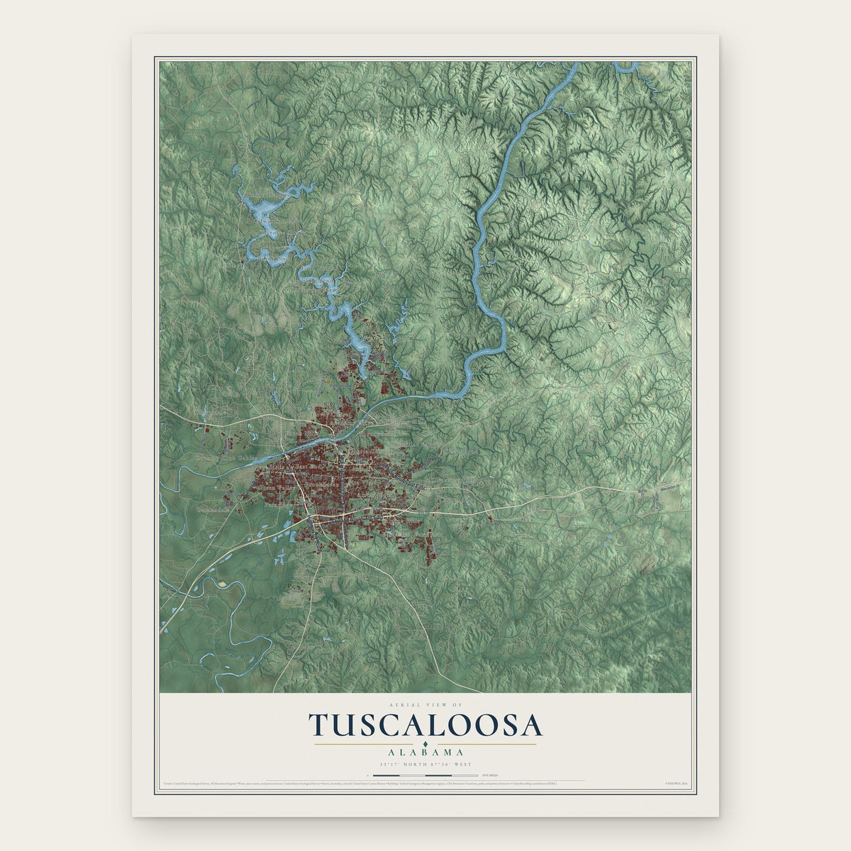
Tuscaloosa, Alabama Map Art
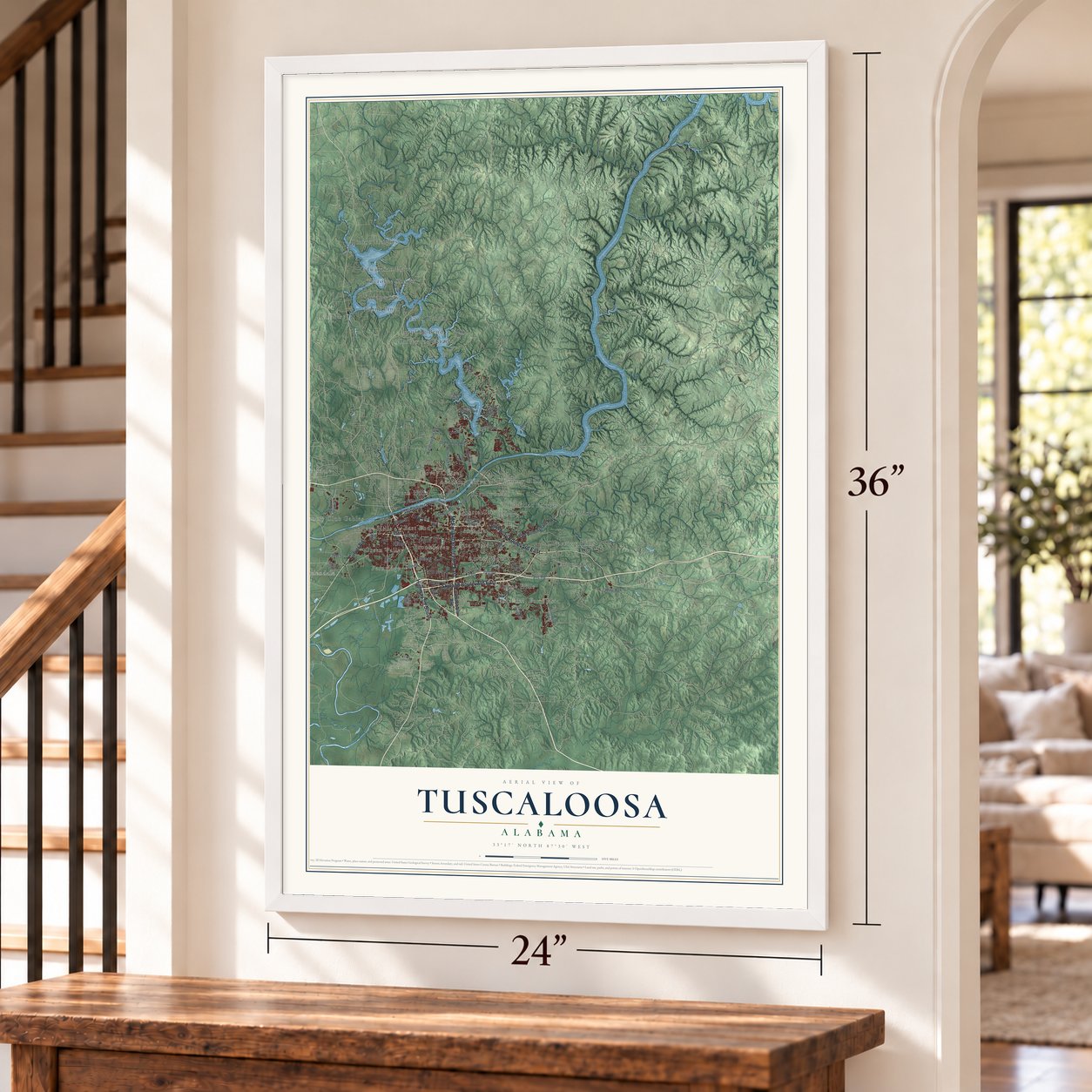
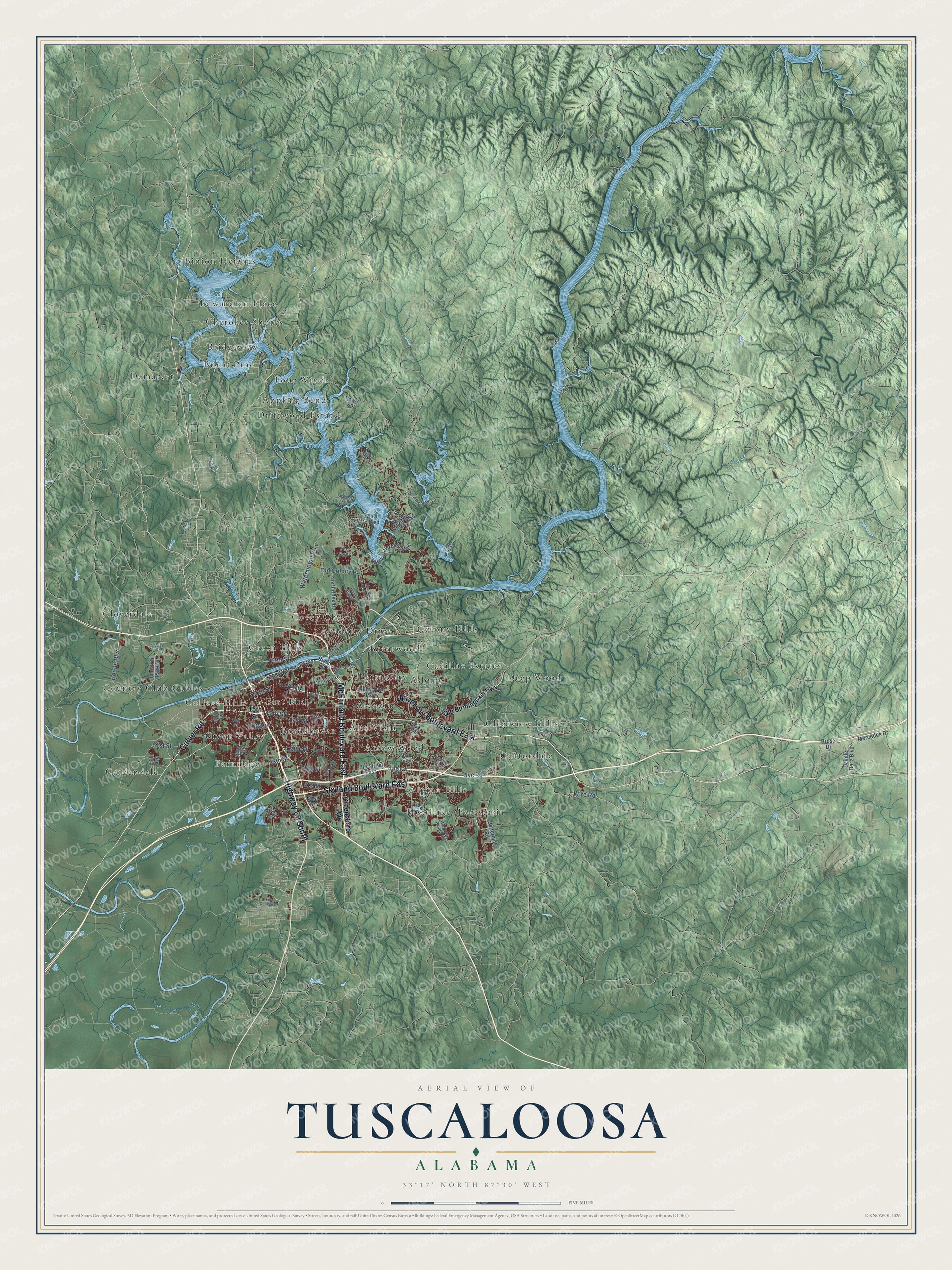
A new map of Tuscaloosa, Alabama, made in 2026 and printed to order on thick archival matte paper.
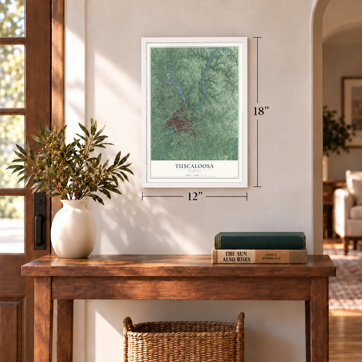
12" x 18" Archival Matte Print
A Map of Home. A Work of Art.
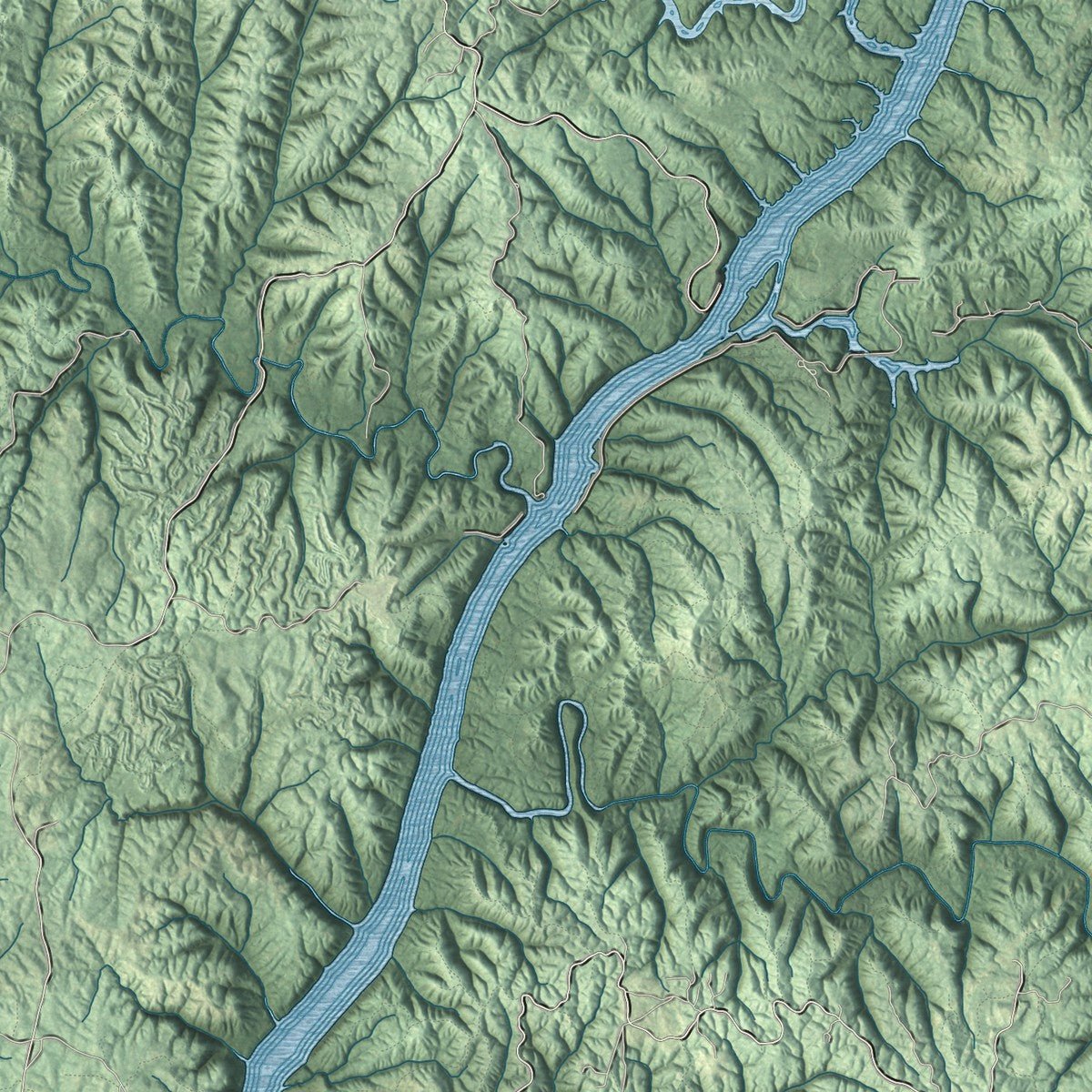
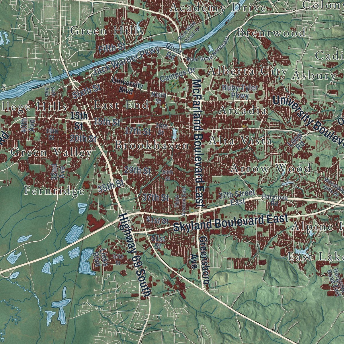
Explore Tuscaloosa, Alabama from a whole new perspective. Created using aerial imagery and detailed geographic data, this map captures Tuscaloosa building by building, with labeled streets, familiar landmarks, and shaded topographical relief that highlights the natural contours of the landscape.
Combining modern data with the timeless character of a vintage atlas, this map is just as interesting up close as it is beautiful on the wall. Whether you grew up in Tuscaloosa, spent memorable years there, or call it home today, this unique map is a great way to celebrate a place that means something to you. Zoom in on the preview to look for your street, and then order a print to put your memories on the wall.
Three ways to hang it
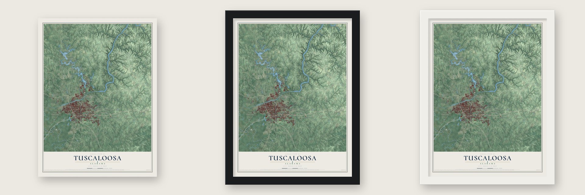
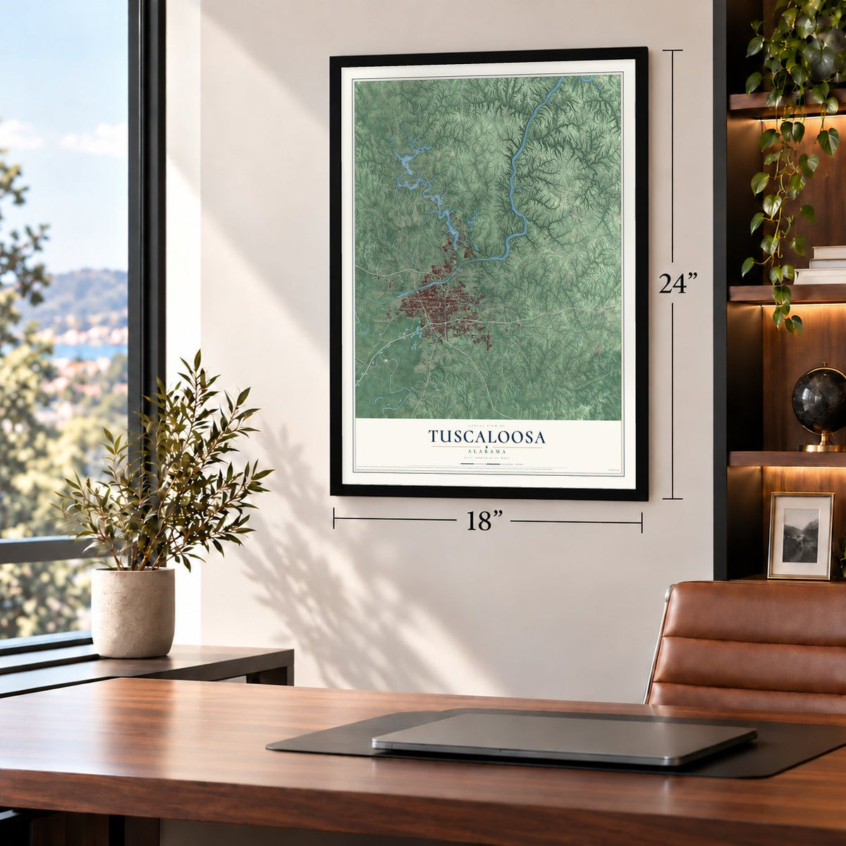
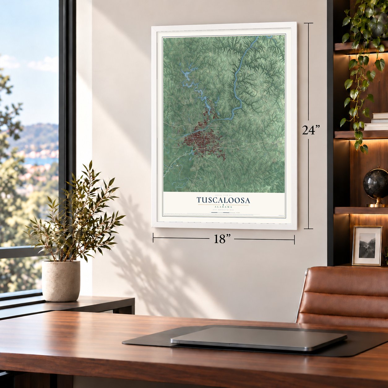
Unframed archival matte, a black wood frame or a white wood frame.
Up close
Geography Worth Displaying
This map was created using accurate cartographic data and authoritative geographic sources, including the U.S. Geological Survey and the Census Bureau. The map brings together terrain, waterways, roads, and building detail. The majority of the streets are labeled, houses are accurately depicted, and the topography is derived from government sources. Combining local data with carefully composed color and shading leads to this beautifully detailed Tuscaloosa artwork for your wall.
Rather than simply showing street outlines, we’ve included as many of the street names as we could reasonably fit on the map while keeping their names legible. Zoom in on the high resolution preview to see exactly what’s on the map. We truly set out to create a statement piece for anyone who loves Tuscaloosa. So whether it’s for you, or a gift for someone you love, we hope this map of Tuscaloosa brings back fond memories.
Read the story behind this map of Tuscaloosa, Alabama from 2026.

About Tuscaloosa, Alabama
Tuscaloosa is a city of 99,600 people and the seat of Tuscaloosa County, on the Black Warrior River at the fall line. Its name honors Tuskaloosa, the leader of Mabila, whom Hernando de Soto's men executed in 1540. Thomas York and his family became the first white settlers in 1816. The territorial legislature incorporated the town on December 13, 1819, a single day before Alabama entered the Union.
The town was slow to be laid out, so in 1822 the county seat moved a few miles west to New Town. By 1826 Tuscaloosa had absorbed New Town and won the county seat back, and that year the legislature also moved the state capital here from Cahaba. The University of Alabama, chartered in 1820, opened to students in 1831. A severe tornado in the early 1840s wrecked many of the first buildings, and in 1846 the capital left for Montgomery as the state's people shifted east. The city began to recover in 1859 with the Alabama Insane Hospital, which took the name Bryce Hospital in 1900 to honor Peter Bryce, its first superintendent.
“After witnessing the destruction from afar, the cadets marched east, then south to Marion. There, the Corps disbanded with orders to re-form in one month’s time; the war ended in the interval.”
- Bridges on 1834 piersJohn Godwin and Horace King spanned the Black Warrior here in 1834 with its first bridge, a wooden lattice truss of Ithiel Town's design. Hit by a tornado in 1842 and rebuilt in 1852, it was destroyed by Union troops in 1865. Its successors rose on the original brick piers: King's wooden bridge of 1872, an iron one in 1882, a swing span in 1895, a drawbridge in 1922. In 1974 the Hugh Thomas Bridge, just downstream, replaced them.
- The night the city fellOn April 3, 1865, Capt. Benjamin F. Eddins led a Home Guard of old men and boys onto the covered bridge, hoping to hold off Croxton's Raiders. Both Eddins and John Carson, 15, took wounds, and that evening Mayor Obediah Berry and the Catholic priest William McDonough gave up the city. Eddins died on April 10, the only townsman killed defending Tuscaloosa.
- Cadets on River HillUniversity cadets fired on the Union troops from River Hill before withdrawing. Croxton then blew up the ammunition and set fire to most of the campus, and the library burned with it.
- The Stand in the Schoolhouse DoorOn June 11, 1963, Governor George Wallace stood at the entrance of Foster Auditorium to stop Vivian Malone and James Hood from enrolling at the university. When Deputy Attorney General Nicholas Katzenbach arrived with federal marshals, Wallace stepped aside. Malone went on to become the university's first Black graduate, and in 2010 the plaza in front of the auditorium was renamed Malone-Hood Plaza.
- Bloody Tuesday, 1964The Tuscaloosa Campaign to integrate the city began on March 8, 1964, guided by Martin Luther King Jr., with mass meetings at the First African Baptist Church. On June 9, about 600 people gathered there to march to the County Courthouse against its segregated restrooms and drinking fountains. They were set upon by dozens of police and some 200 white residents. By the end, 33 marchers were in the hospital and 100 had been arrested.
Find your street
Names on the Tuscaloosa map
Every name below is printed on this map. Look for your street, your school, the park where you played, or the pond down the road.
Places and landmarks34
- Academy Drive
- Alberta City
- Alpine Hills
- Alta Vista
- Appling Bend
- Arcadia
- Arrow Wood
- Asbury
- Binion Heights
- Brentwood
- Bridgeview
- Brookhaven
Show all 34 places
- Burnt Pine
- Cadillac Estates
- Cherokee Shores
- Clearview Hills
- Cloverdale
- College Hills
- Colony Hills
- Cottondale
- Country Club Gables
- Covey Chase
- Deep Wood
- Demarest
- Driftwood Estates
- East End
- East Lake
- Edwardian Place
- Fernridge
- Forestasia
- Four Winds
- Gardendale
- Green Hills
- Green Valley
Streets and roads65
- Skyland Boulevard East
- University Boulevard East
- Highway 69 South
- McFarland Boulevard East
- Culver Road
- Jack Warner Parkway
- 15th Street
- Fifth Street
- Jvc Road
- 35th Street
- 29th Street
- Watermelon Road
- Boone Boulevard
- 17th Street
- 31st Street
- Sixth Street
- Old Colony Road
- 20th Street
- 37th Street
- Wire Road
- Greensboro Avenue
- Old Birmingham Highway
- River Road
- 32nd Avenue
- Industrial Park Drive
- Northridge Road
- New Watermelon Road
- Buttermilk Road
- 37th Street East
- Loop Road
Show all 65 streets
- Daimler Benz Boulevard
- Campus Drive
- Links Boulevard
- Crown Pointe Boulevard
- Mercedes Drive
- Harbor Ridge Way
- Ruby Tyler Parkway
- 41st Street
- The Townes
- 40th Avenue
- Brose Drive
- Lewis Spr
- 68th Avenue
- 51st Street
- Hargrove Road East
- Hargrove Road
- 19th Street
- 16th Street
- Ninth Street
- Lake Nicol Road
- Lake Side Drive
- University Boulevard
- River Road Northeast
- Woodland Hills Drive
- 64th Avenue
- 30th Street
- Rice Mine Road Northeast
- Third Avenue East
- 34th Avenue
- Rice Mine Road Lp
- Fire College Drive
- Sharpes Lake Road
- 57th Street
- Lake Harris
- Windy Ridge
Names are listed as they appear on the printed map. Zoom into the product photos to find them.
The art of mapping a place
How This Map Was Made
Real places. Remarkable detail. Discover the layers that turn geographic data into a map of home.

The view from above
Aerial imagery reveals the character of the land: woodland, open fields, and the patterns of a place.

The shape of the land
Elevation data brings hills, valleys, and subtle changes in the landscape into view.

The details of home
Roads, waterways, and building footprints come together to make the map feel unmistakably local.

Geography becomes art
Considered color, shading, and typography bring the layers together in a map made for your wall.


Process illustrated with Mendon, Massachusetts. Aerial imagery: USDA NAIP. Terrain: USGS 3D Elevation Program. Map details and finished artwork: KNOWOL.
The Details
About This Print
Choose an archival matte print, or a black or white Ayous wood frame. The archival matte print is unframed.
Select your size and finish above to see the matching product image and price.
Materials & Craftsmanship
A contemporary map with the character of a classic atlas, printed on archival matte paper. Optional frames are made from Ayous wood.
Your printed map does not include the watermark shown in the full-map preview.
Shipping & Delivery
Free shipping within the United States. Every print is made to order in the USA.
Buying a gift? Add a note in your cart and we'll include it. We never put prices in the package.
Prints ship within 2 to 3 business days. Allow 7 to 10 days total from ordering for delivery. Timing may vary during holidays or periods of high order volume.
Read our shipping policy.
Returns and damaged prints
Each print is made to order. Change-of-mind refunds are not available after production.
If your print arrives damaged, misprinted or incorrect, contact support@knowol.com within 30 days of receiving it. Include your order number, photos and a description of the issue.
Read our full refund and replacement policy. For questions about your order, email support@knowol.com.
Find your town
Looking for another city?
Find a map of home in our Alabama collection, or any town in the country.
Nearby
Maps of towns near Tuscaloosa
Know someone from one of these towns? Their map makes a great gift.
 Holt
Holt, Alabama
From $39.99See the map
 Northport
, Alabama
From $39.99See the map
 Cottondale
, Alabama
From $39.99See the map
More maps nearby: Coker, Coaling, Brookwood, Moundville and Vance.