


Search for another town





Free U.S. delivery 7 to 10 days after you order
Taylorville, Alabama Map Art
Building by building, with labeled streets and shaded relief.
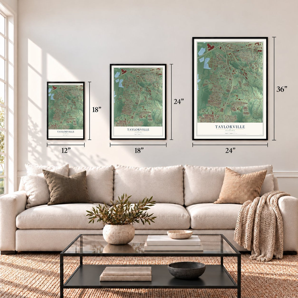
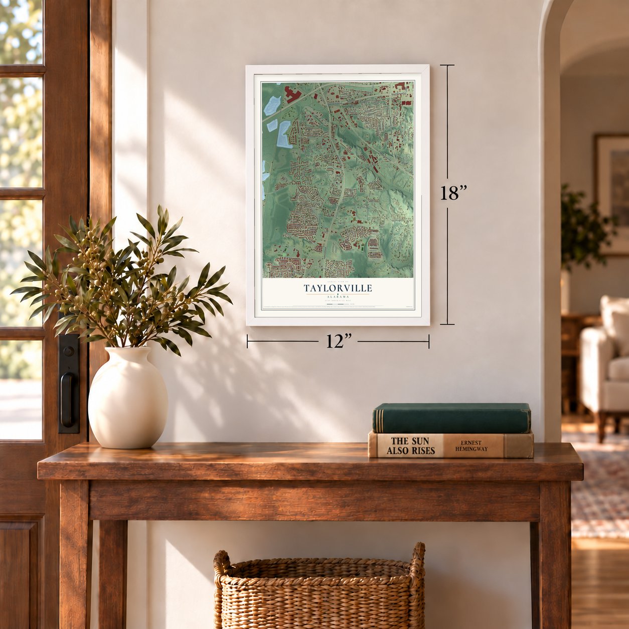
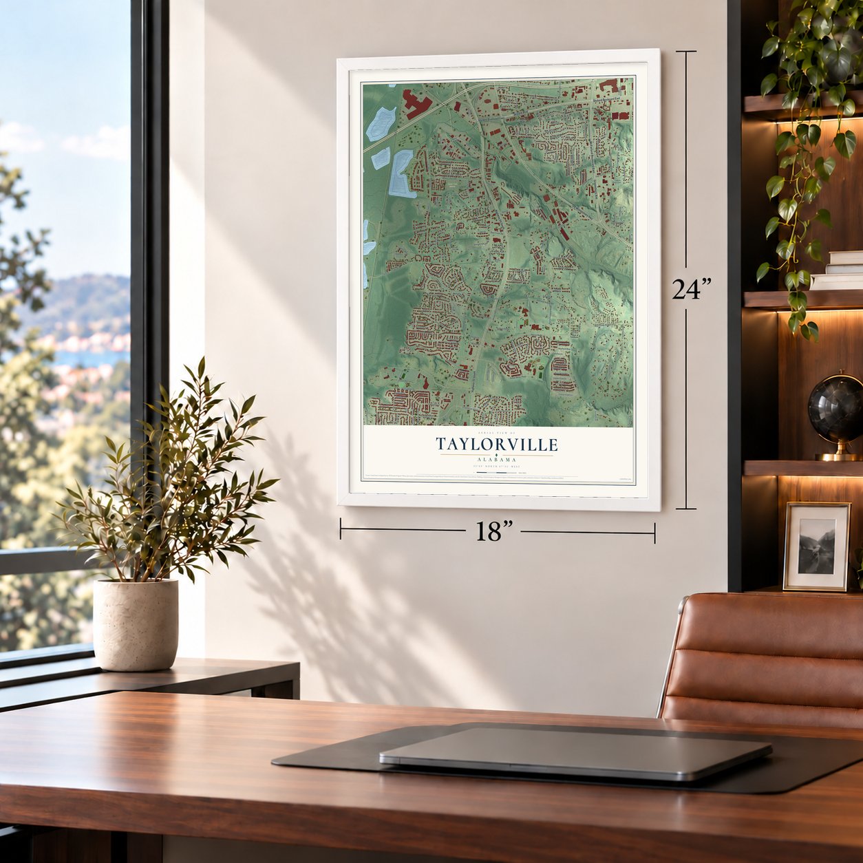
12" x 18" Archival Matte Print
A Map of Home. A Work of Art.
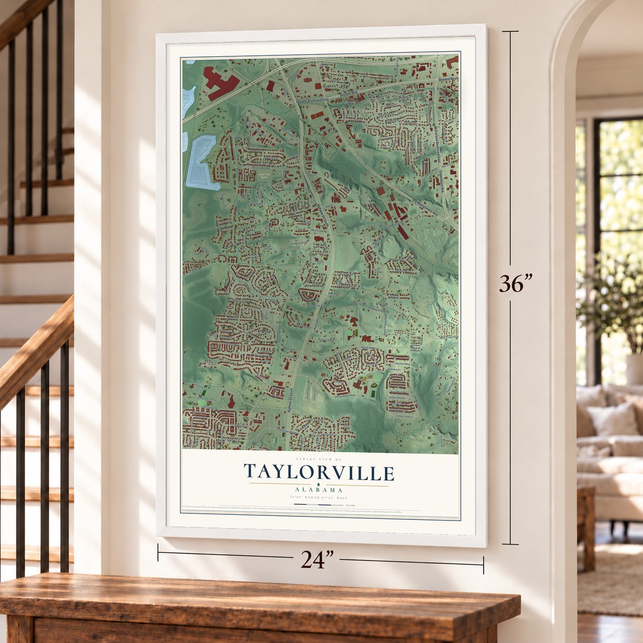
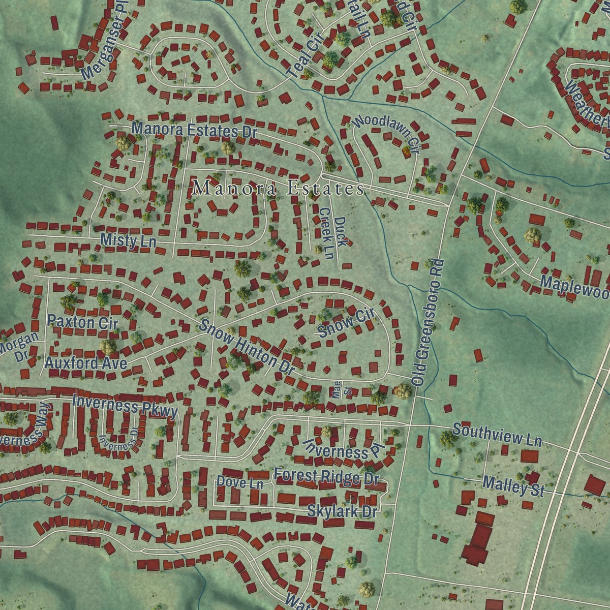
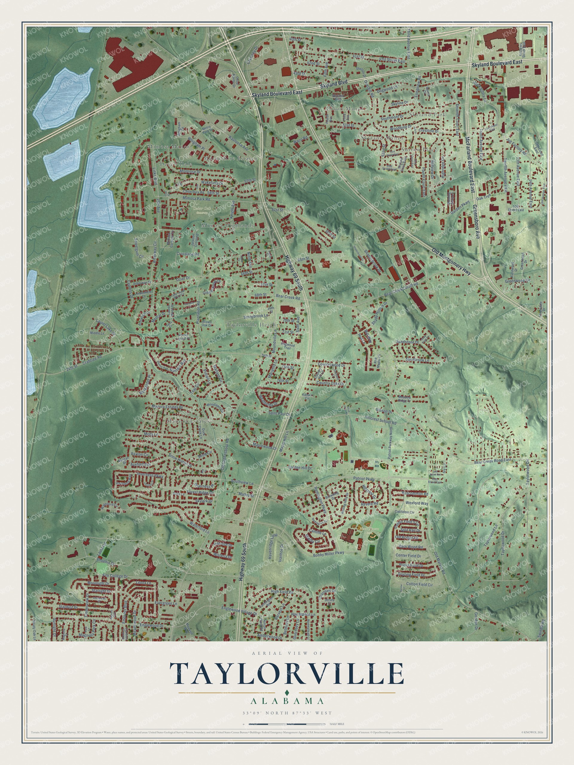
Explore Taylorville, Alabama from a whole new perspective. Created using aerial imagery and detailed geographic data, this map captures Taylorville building by building, with labeled streets, familiar landmarks, and shaded topographical relief that highlights the natural contours of the landscape.
Combining modern data with the timeless character of a vintage atlas, this map is just as interesting up close as it is beautiful on the wall. Whether you grew up in Taylorville, spent memorable years there, or call it home today, this unique map is a great way to celebrate a place that means something to you. Zoom in on the preview to look for your street, and then order a print to put your memories on the wall.
Three ways to hang it
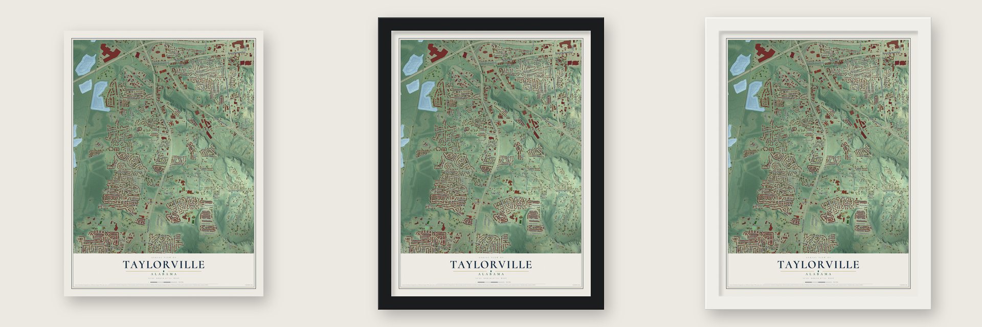
Unframed archival matte, a black wood frame or a white wood frame.
Up close
Geography Worth Displaying
This map was created using accurate cartographic data and authoritative geographic sources, including the U.S. Geological Survey and the Census Bureau. The map brings together terrain, waterways, roads, and building detail. The majority of the streets are labeled, houses are accurately depicted, and the topography is derived from government sources. Combining local data with carefully composed color and shading leads to this beautifully detailed Taylorville artwork for your wall.
Rather than simply showing street outlines, we’ve included as many of the street names as we could reasonably fit on the map while keeping their names legible. Zoom in on the high resolution preview to see exactly what’s on the map. We truly set out to create a statement piece for anyone who loves Taylorville. So whether it’s for you, or a gift for someone you love, we hope this map of Taylorville brings back fond memories.
Read the story behind this map: Detailed Map of Taylorville, Alabama.

Find your street
Names on the Taylorville map
Every name below is printed on this map. Look for your street, your school, the park where you played, or the pond down the road.
Places and landmarks13
- Cedar Oak Cemetery
- Newt Hinton Park
- Sutton Place
- Manora Estates
- Taylorville Heights
- Morayshire Estates
- Dixon Manor
- Skyland Park
- Mimosa Manor
- Skyland Manor
- Mimosa Highlands
- Deven Dale
Show all 13 places
- The Links
Streets and roads238
- Skyland Boulevard East
- Skyland Boulevard
- Highway 69 South
- Greensboro Avenue
- McFarland Boulevard East
- Old Montgomery Highway
- Overhill Road
- Hunters Run
- Garden Parkway
- Oak Tree
- Starlight Drive
- Laurel Lake Drive
- Marigold Lane
- 76th Street
- Links Boulevard
- Southmont Drive
- Skylark Drive
- 52nd Street
- Bear Creek Road
- Weatherby Drive
- Havenridge Loop
- Sixth Avenue
- Old Greensboro Road
- Patriot Parkway
- Taylorwood Circle
- Inverness Parkway
- Old Marion Road
- Crabtree Road
- Kauloosa Avenue
- Hillcrest School Road
Show all 238 streets
- Waterford Lane
- Plantation Road
- Twelfth Avenue East
- Remington Parkway
- Mimosa Park Road
- Bobby Miller Parkway
- Mallard Circle
- Bear Creek Road East
- Manora Estates Drive
- Bear Creek Cutoff Road
- Bellview Drive
- Englewood Drive
- 61st Street
- Stardust Drive
- Jug Factory Road
- 24th Street
- Snow Hinton Drive
- Fire College Drive
- Auxford Avenue
- Cotton Field Circle
- Courtney Drive
- Southview Lane
- 18th Avenue
- Lenox Lane
- 57th Street
- Wakefield Drive
- Camille Lane
- Montrose Drive
- 58th Street
- High Field Road
- 41st Street
- Taylorwood Lane
- Ozier Drive
- Dogwood Lane
- Hay Market Lane
- Greenwood Circle
- Forest Ridge Drive
- Evergreen Lane
- Empress Boulevard
- Misty Lane
- Revere Road
- Shadesbrook Drive
- Woodbine Drive
- Phoenix Drive
- Teal Circle
- Taylorwood Drive
- Sunlight Drive
- 13th Avenue East
- Sandstone Drive
- 68th Street
- Amberwood Drive
- Crosslane Road
- Garden Hill Drive
- Englewood Village Drive
- Skyline Drive
- Highridge Circle
- Whigham Place
- 42nd Street
- Fourth Court East
- Crestline Drive
- 43rd Street
- 65th Street
- Harvest Lane
- Saint Paul Drive
- 51st Street
- Maplewood Drive
- Cotton Field's Circle
- Seventh Court East
- Stonebrook Lane
- 14th Avenue East
- Magnolia Park Circle
- Arborway Circle
- Sandbrook Lane
- Moonlight Drive
- Tenth Avenue East
- Pintail Lane
- Country Oaks Drive
- Praire Field Drive
- Third Avenue East
- Countrywood Drive
- Maple Hill Lane
- Grazing Field Drive
- Merganser Place
- 60th Street
- Longview Road
- Hud Lane
- Meadowood Drive
- Wisteria Drive
- Gipson Drive
- Cypress Drive
- Barn Wood Road
- Sweetgum Circle
- 41st Street East
- Gooden Drive
- Charolais Drive
- Center Field Drive
- Moundville Lane
- Roscommon Road
- Wexford Way
- Split Rail Drive
- 66th Street
- Fifth Avenue
- Knight Avenue
- Gingerwood Lane
- Inverness Place
- Hillcrest Drive
- Jug Factory Lane
- Swindle Road
- Old Bridge Road
- Shady Hollow Drive
- Belmont Lane
- Guernsey Lane
- Timberview Drive
- Ivy Lane
- Medlar Drive
- 40th Street
- Penrose Drive
- 71st Street
- Waco Road
- Malley Street
- Mill Way
- Laura Lane
- 67th Street
- Ivanhoe Drive
- 70th Street
- Ninth Avenue
- 75th Street
- Shelby Circle
- Paxton Circle
- Snow Circle
- Oscar Baxter Drive
- Laurel Wood Drive
- Metro Park Drive
- Country Hill Lane
- 74th Street
- Edna's Circle
- Canterbury Road
- Hinton Place Road
- Rolling Hills Drive
- Browning Drive
- Farmington Road
- Greenwood Drive
- Woodlawn Circle
- Second Court East
- Mimosa Gardens Circle
- Dove Lane
- Patriot Parkway North
- Red Maple Circle
- 14th Court East
- 59th Street East
- Andrews Street East
- Meadow Ridge Drive
- Arborway Drive
- Morning Glory Lane
- Homestead Lane
- Fourth Avenue
- Jackson Crossing
- Waterford Circle
- Honey Locust Drive
- Shady Oak Lane
- Inverness Way
- Forestdale Drive
- Lindenfield Lane
- Middle Lane
- Arrowleaf Circle
- Duck Creek Lane
- Fieldwood Drive
- 69th Street
- Dogwood Trail
- Castlebar Circle
- Whigham Circle
- Brown Oak Drive
- Maxwell Way
- Third Avenue
- Shelton Drive
- Jersey Drive
- Morgan Drive
- Bavria Circle
- 55th Street East
- 15th Avenue East
- Third Court East
- Remington Circle
- 51st Street East
- Lake Laurel Wood Circle
- Alexander Drive
- Oakmont Lane
- Chandlers Crossing
- Hunter Run
- Magnolia Court
- 85th Street East
- Park Lane
- Tenth Court
- Balsa Circle
- 17th Court
- 53rd Street East
- Inverness Drive
- Kew Lane
- Shadesbrook Circle
- Plantation Lane
- 84th Street East
- Sandy Ridge Circle
- David Jones Road
- Magnolia Vlg Drive
- Harrow Lane
- Oak Drive
- Eighth Court
- 19th Court
- Mae Street
Names are listed as they appear on the printed map. Zoom into the product photos to find them.
About Taylorville, Alabama
Taylorville was once home to a preparatory school called the Columbian Institute. Edward Tarrant founded it. He led the Tuscaloosa County schools and then joined Lumsden's Alabama Battery in the Civil War, fighting at Shiloh and Corinth. After the war the school was renamed the Pelham Institute to honor John Pelham.
Keep exploring Alabama
Taylorville is one of 675 Alabama towns we've mapped. Every dot on the map is a print of its own.
The search covers every state, Alabama first.
Near Taylorville
Order 2 or more town maps and save 10%. Shown in the size and finish you picked above, so they hang as a set.
- Englewood 12" x 18" / Archival Matte Print $39.99
- Cottondale 12" x 18" / Archival Matte Print $39.99
- Tuscaloosa 12" x 18" / Archival Matte Print $39.99

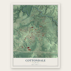
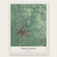
More maps nearby: Holt, Duncanville, Northport, Coker and Moundville.
The art of mapping a place
How This Map Was Made
Real places. Remarkable detail. Discover the layers that turn geographic data into a map of home.

The view from above
Aerial imagery reveals the character of the land: woodland, open fields, and the patterns of a place.

The shape of the land
Elevation data brings hills, valleys, and subtle changes in the landscape into view.

The details of home
Roads, waterways, and building footprints come together to make the map feel unmistakably local.

Geography becomes art
Considered color, shading, and typography bring the layers together in a map made for your wall.


Process illustrated with Mendon, Massachusetts. Aerial imagery: USDA NAIP. Terrain: USGS 3D Elevation Program. Map details and finished artwork: KNOWOL.
The Details
About This Print
Choose an archival matte print, or a black or white Ayous wood frame. The archival matte print is unframed.
Select your size and finish above to see the matching product image and price.
Materials & Craftsmanship
A contemporary map with the character of a classic atlas, printed on archival matte paper. Optional frames are made from Ayous wood.
Your printed map does not include the watermark shown in the full-map preview.
Shipping & Delivery
Free shipping within the United States. Every print is made to order in the USA.
Buying a gift? Add a note in your cart and we'll include it. We never put prices in the package.
Prints ship within 2 to 3 business days. Allow 7 to 10 days total from ordering for delivery. Timing may vary during holidays or periods of high order volume.
Read our shipping policy.
Returns and damaged prints
Each print is made to order. Change-of-mind refunds are not available after production.
If your print arrives damaged, misprinted or incorrect, contact support@knowol.com within 30 days of receiving it. Include your order number, photos and a description of the issue.
Read our full refund and replacement policy. For questions about your order, email support@knowol.com.