
Search for another town



Free U.S. delivery 7 to 10 days after you order
White Center, Washington Map Art
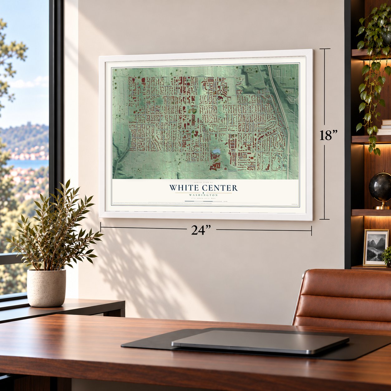
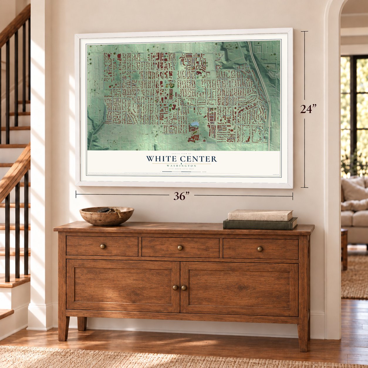
A new map of White Center, Washington, made in 2026 and printed to order on thick archival matte paper.
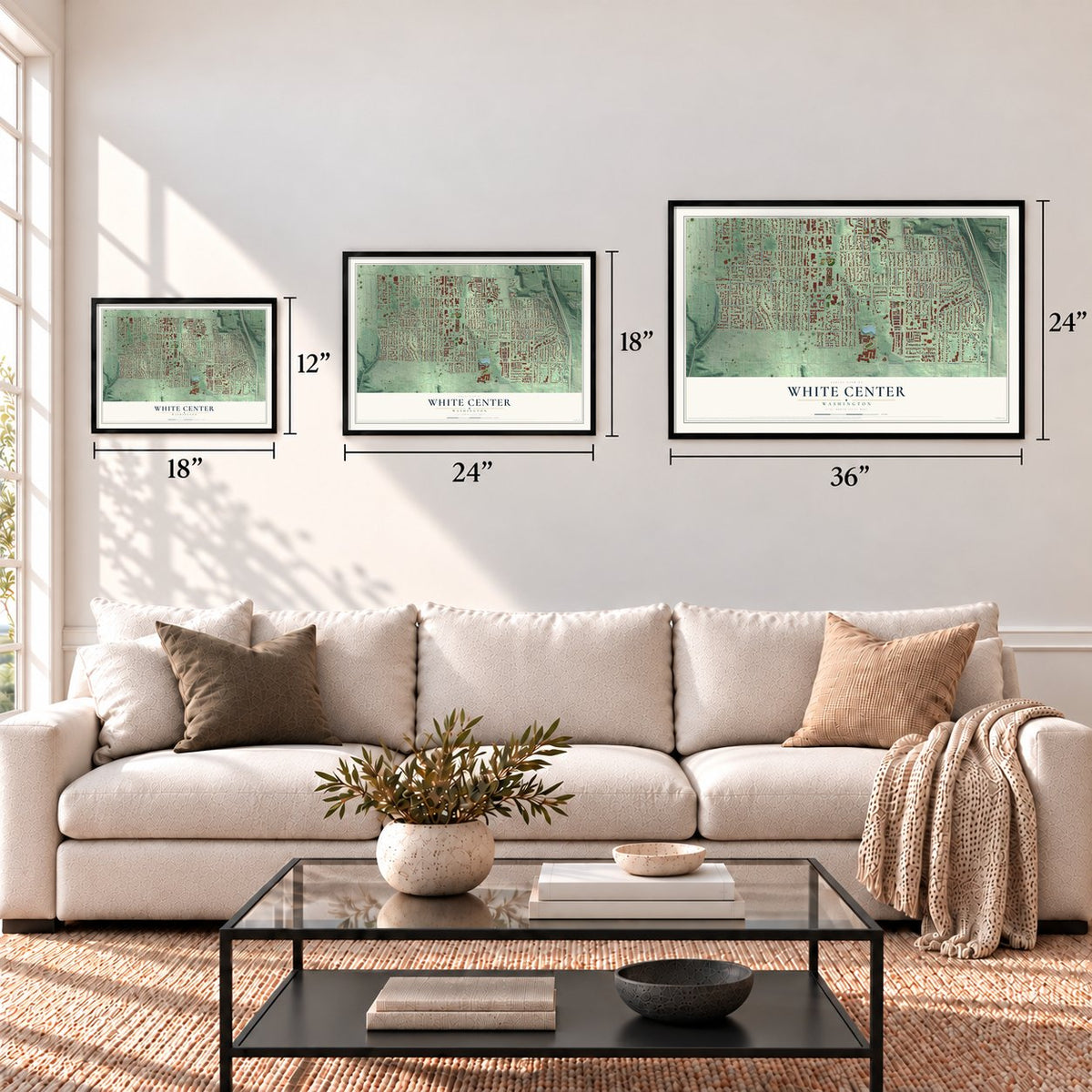
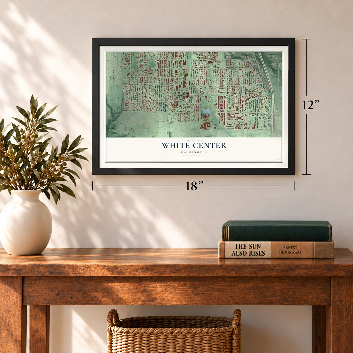
12" x 18" Archival Matte Print
A Map of Home. A Work of Art.
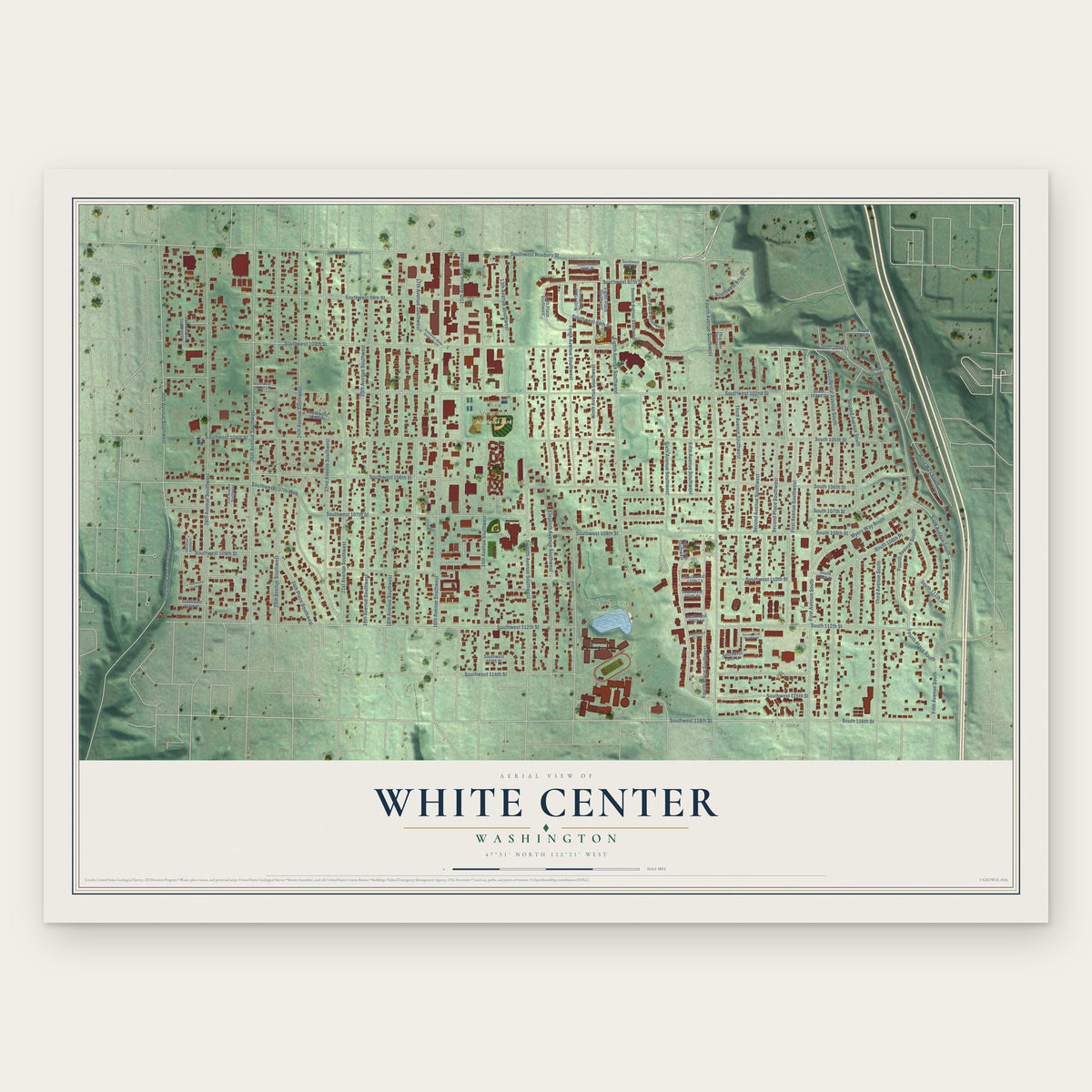
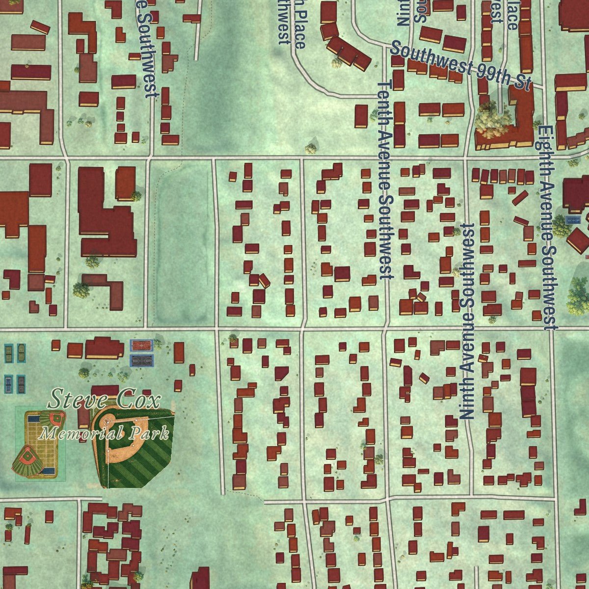
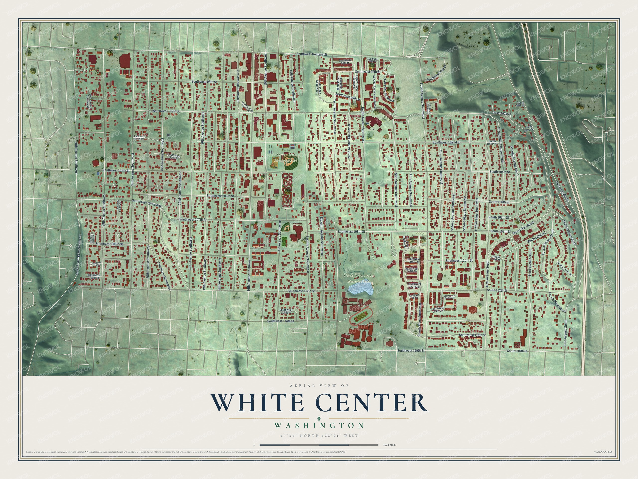
Explore White Center, Washington from a whole new perspective. Created using aerial imagery and detailed geographic data, this map captures White Center building by building, with labeled streets, familiar landmarks, and shaded topographical relief that highlights the natural contours of the landscape.
Combining modern data with the timeless character of a vintage atlas, this map is just as interesting up close as it is beautiful on the wall. Whether you grew up in White Center, spent memorable years there, or call it home today, this unique map is a great way to celebrate a place that means something to you. Zoom in on the preview to look for your street, and then order a print to put your memories on the wall.
Three ways to hang it
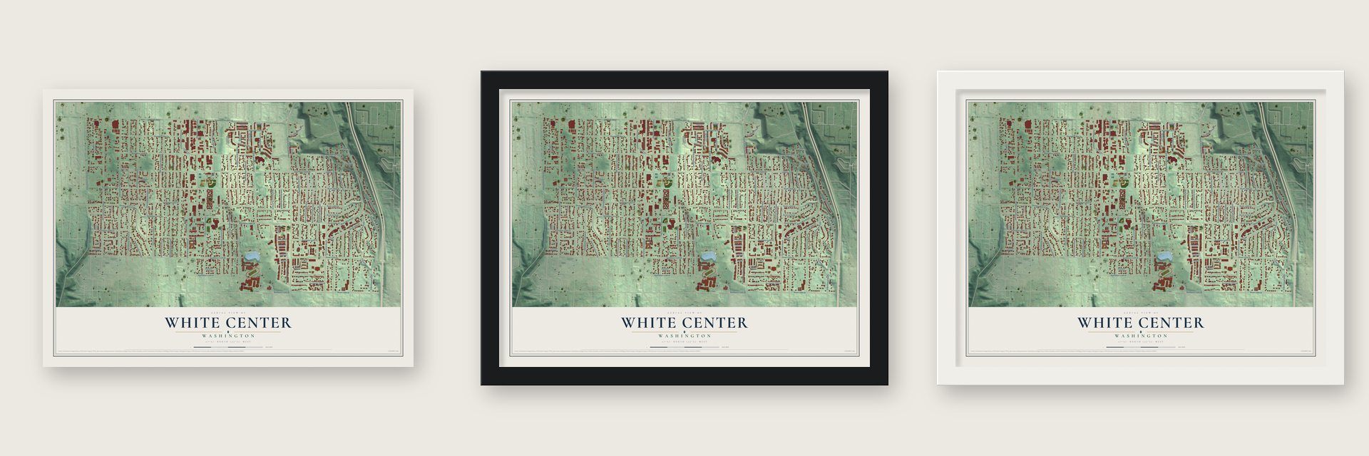
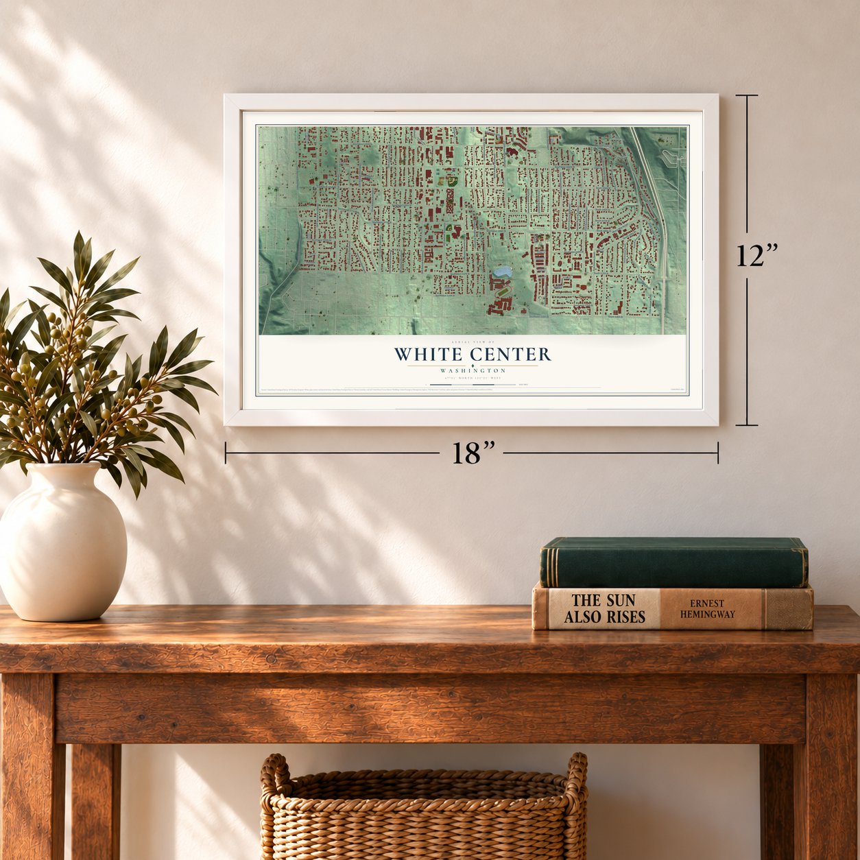
Unframed archival matte, a black wood frame or a white wood frame.
Up close
Geography Worth Displaying
This map was created using accurate cartographic data and authoritative geographic sources, including the U.S. Geological Survey and the Census Bureau. The map brings together terrain, waterways, roads, and building detail. The majority of the streets are labeled, houses are accurately depicted, and the topography is derived from government sources. Combining local data with carefully composed color and shading leads to this beautifully detailed White Center artwork for your wall.
Rather than simply showing street outlines, we’ve included as many of the street names as we could reasonably fit on the map while keeping their names legible. Zoom in on the high resolution preview to see exactly what’s on the map. We truly set out to create a statement piece for anyone who loves White Center. So whether it’s for you, or a gift for someone you love, we hope this map of White Center brings back fond memories.
Read the story behind this map of White Center, Washington from 2026.

About White Center, Washington
White Center is an unincorporated community of 16,631 people in King County, on a plateau at the southwest edge of Seattle. On October 19, 1870, Ed Solomon paid the federal government $1.25 an acre for 319 acres of land here. No settler who wasn't Native American had come before him, but the swampy forest beat his crops, and he sold the land off in pieces. Timber turned out to be the real prize. In 1877 Sam Carr and Tom Hood began logging at Seola Beach on Puget Sound, paying loggers $1 for a 12-hour day.
In 1912 local leaders, among them Jacob Ambaum, Hiram Green and George White, paid to build a streetcar line to Seattle. A nickel took you to White Center. Within months a mud slide wiped out part of the line, so Seattle bought it for $1 and fixed it. It became the first city-owned streetcar line around Seattle, and it ran until another slide closed it in the winter of 1933. White Center's first store, the Oak Park Grocery, opened in 1908. By 1916 it had moved to 16th Avenue SW and SW Roxbury Street, the corner that became the center of town.
“White Center had the reputation of being just outside the boundary of the civilized world.”
- Named by a coin tossGeorge White and his brothers Harry and Will were among Seattle's biggest real estate developers, and they started the paper that became The Seattle Times. Hiram Green bought five acres between 16th and 18th Avenues SW, and that land became White Center's business district. In 1918 the two men settled the community's name with a friendly coin toss. White won, and the place has been White Center ever since.
- From boxing ring to skating rinkHiram Green had played professional baseball as a young man, and he built the White Center Boxing Arena on 16th Avenue SW. In 1937 the hall reopened as the Southgate Skate Center, managed by Ethyl, Green's daughter, and her husband William "Pop" Brown. It became the town's favorite place to gather, and later the Rat City Rollergirls skated there.
- Ambaum RoadJacob Ambaum bought 20 acres in 1902, on the land where St. Bernadette Church now stands. He set out to cut a road by himself, unpaid, using hand tools and a wheelbarrow. After he had cleared two miles, the county took over with blasting crews. The finished Ambaum Road reached Burien and Des Moines.
- A library in a basementIn 1943 a parent-teacher association started White Center's first library in the basement of a local fieldhouse, with help from the county library system. In 1961 a portable building came over from Lower Queen Anne in Seattle to house it, and a permanent building paid for by a bond issue replaced it on August 29, 1976. After years of delay over the annexation votes, a new $8.5 million library on Southwest 107th Street opened on May 21, 2026.
Find your street
Names on the White Center map
Every name below is printed on this map. Look for your street, your school, the park where you played, or the pond down the road.
Places and landmarks2
- Dick Thurnau Memorial Park
- Steve Cox Memorial Park
Streets and roads95
- Southwest 100th Street
- First Avenue Southwest
- Southwest 97th Place
- Sixth Avenue South
- Southwest 97th Street
- Fourth Avenue South
- Fifth Avenue Southwest
- Southwest 104th Street
- South 108th Place
- Southwest 116th Street
- Southwest 106th Street
- Southwest 102nd Street
- Southwest Roxbury Street
- Southwest 112th Street
- Fourth Avenue Southwest
- Tenth Avenue Southwest
- 17th Avenue Southwest
- 16th Avenue Southwest
- 28th Avenue Southwest
- 21st Avenue Southwest
- 18th Avenue Southwest
- 26th Avenue Southwest
- 14th Avenue Southwest
- First Avenue South
- Twelfth Avenue Southwest
- Eighth Avenue Southwest
- Eleventh Avenue Southwest
- Myers Way South
- 15th Avenue Southwest
- Occidental Avenue South
Show all 95 streets
- 24th Avenue Southwest
- 25th Avenue Southwest
- Southwest 107th Street
- Southwest 108th Street
- 19th Avenue Southwest
- Second Avenue South
- 22nd Avenue Southwest
- Southwest 98th Street
- 30th Avenue Southwest
- Southwest 110th Street
- Third Avenue South
- Sixth Avenue Southwest
- Second Avenue Southwest
- Third Avenue Southwest
- Southwest 114th Street
- Ninth Avenue Southwest
- Fifth Avenue South
- Fourth Place Southwest
- 13th Avenue Southwest
- South 112th Street
- South 116th Street
- Seola Beach Drive Southwest
- 20th Avenue Southwest
- Aqua Way South
- Southwest 109th Street
- South 106th Street
- South 104th Street
- Second Place Southwest
- Southwest 115th Street
- Southwest 107th Way
- South 107th Street
- 24th Place Southwest
- Southwest 99th Street
- South 108th Street
- Fourth Place South
- South 111th Street
- South 100th Street
- Sixth Place Southwest
- Tenth Place Southwest
- South 110th Street
- Seventh Avenue Southwest
- Eighth Place Southwest
- Southwest 110th Lane
- Southwest 111th Place
- South 102nd Street
- Ninth Place Southwest
- Southwest 96th Place
- Southwest 113th Street
- Southwest 103rd Place
- 29th Avenue Southwest
- Southwest 113th Lane
- South 99th Street
- Southwest 111th Street
- Fifth Place Southwest
- South 101st Street
- Southwest 111th Lane
- 27th Avenue Southwest
- Third Lane Southwest
- Southwest 96th Circle
- Southwest 102nd Lane
- Southwest 112 Lane
- 29th Place Southwest
- Second Lane Southwest
- Southwest White Center Cutoff
- Southwest 110th Place
Names are listed as they appear on the printed map. Zoom into the product photos to find them.
The art of mapping a place
How This Map Was Made
Real places. Remarkable detail. Discover the layers that turn geographic data into a map of home.

The view from above
Aerial imagery reveals the character of the land: woodland, open fields, and the patterns of a place.

The shape of the land
Elevation data brings hills, valleys, and subtle changes in the landscape into view.

The details of home
Roads, waterways, and building footprints come together to make the map feel unmistakably local.

Geography becomes art
Considered color, shading, and typography bring the layers together in a map made for your wall.


Process illustrated with Mendon, Massachusetts. Aerial imagery: USDA NAIP. Terrain: USGS 3D Elevation Program. Map details and finished artwork: KNOWOL.
The Details
About This Print
Choose an archival matte print, or a black or white Ayous wood frame. The archival matte print is unframed.
Select your size and finish above to see the matching product image and price.
Materials & Craftsmanship
A contemporary map with the character of a classic atlas, printed on archival matte paper. Optional frames are made from Ayous wood.
Your printed map does not include the watermark shown in the full-map preview.
Shipping & Delivery
Free shipping within the United States. Every print is made to order in the USA.
Buying a gift? Add a note in your cart and we'll include it. We never put prices in the package.
Prints ship within 2 to 3 business days. Allow 7 to 10 days total from ordering for delivery. Timing may vary during holidays or periods of high order volume.
Read our shipping policy.
Returns and damaged prints
Each print is made to order. Change-of-mind refunds are not available after production.
If your print arrives damaged, misprinted or incorrect, contact support@knowol.com within 30 days of receiving it. Include your order number, photos and a description of the issue.
Read our full refund and replacement policy. For questions about your order, email support@knowol.com.
Find your town
Looking for another city?
Find a map of home in our Washington collection, or any town in the country.
Nearby
Maps of towns near White Center
Know someone from one of these towns? Their map makes a great gift.
 Boulevard Park
, Washington
From $39.99See the map
 Burien
, Washington
From $39.99See the map
 Tukwila
, Washington
From $39.99See the map
More maps nearby: SeaTac, Bryn Mawr-Skyway, Normandy Park, Mercer Island and Renton.