
Search for another town




Free U.S. delivery 7 to 10 days after you order
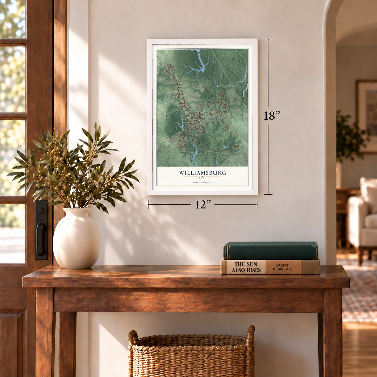
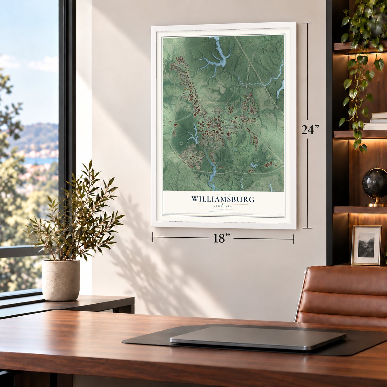
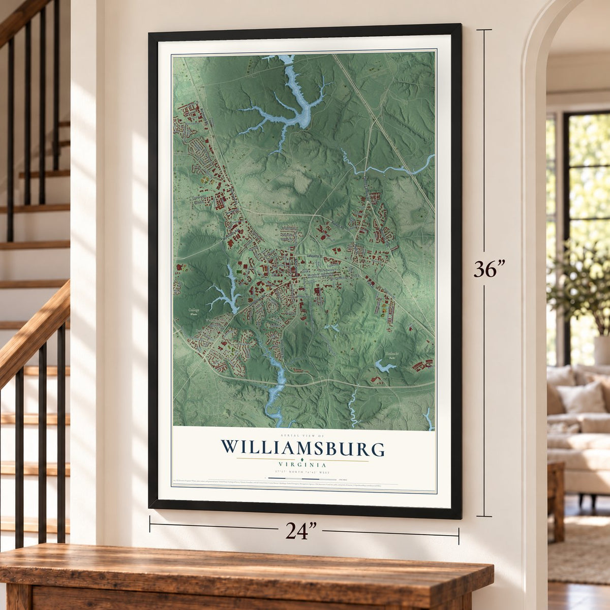
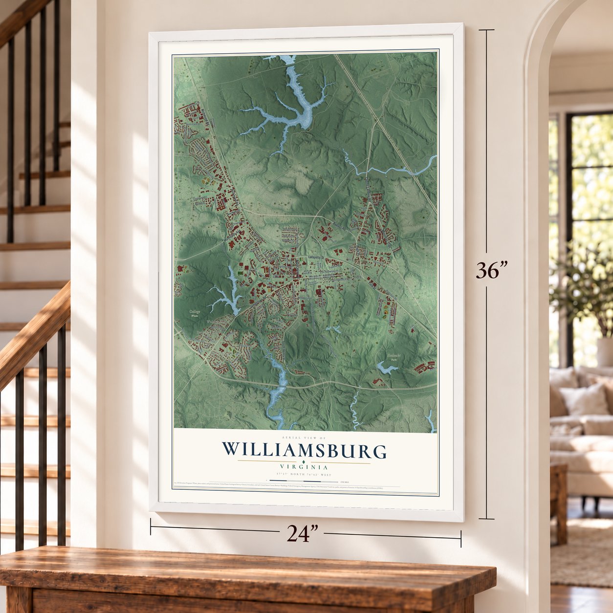
Williamsburg, Virginia Map Art
A new map of Williamsburg, Virginia, made in 2026 and printed to order on thick archival matte paper.
12" x 18" Archival Matte Print
A Map of Home. A Work of Art.
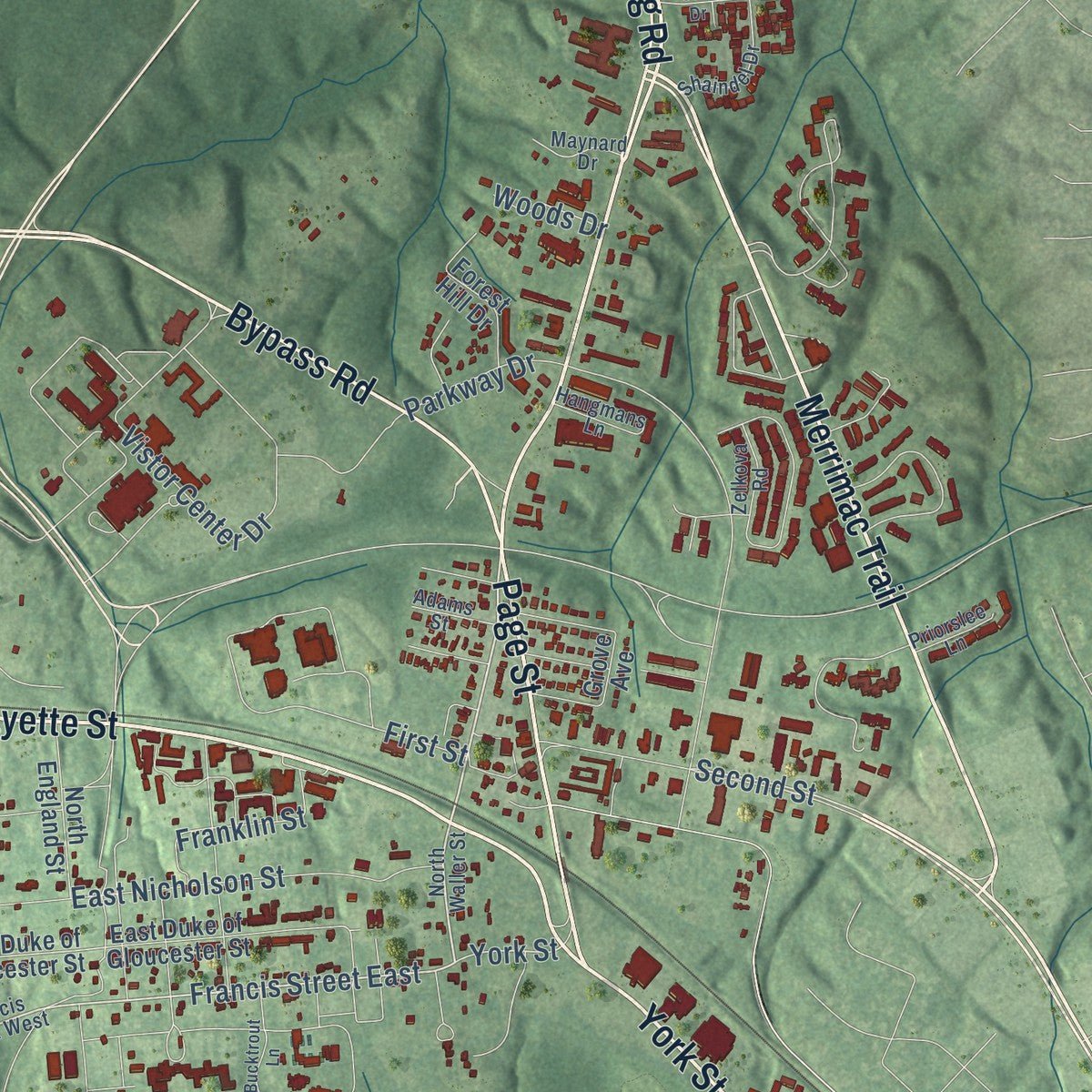
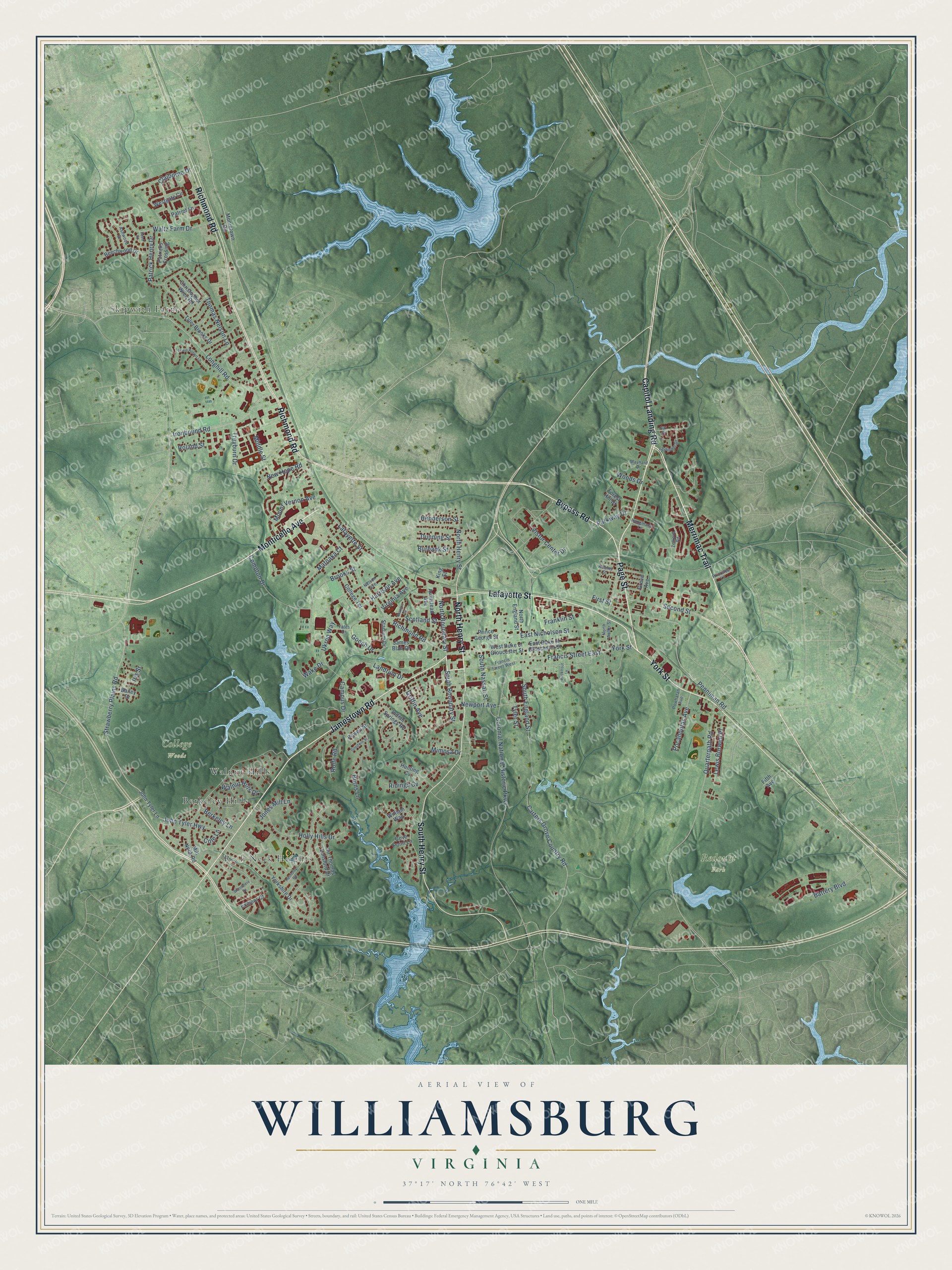
Explore Williamsburg, Virginia from a whole new perspective. Created using aerial imagery and detailed geographic data, this map captures Williamsburg building by building, with labeled streets, familiar landmarks, and shaded topographical relief that highlights the natural contours of the landscape.
Combining modern data with the timeless character of a vintage atlas, this map is just as interesting up close as it is beautiful on the wall. Whether you grew up in Williamsburg, spent memorable years there, or call it home today, this unique map is a great way to celebrate a place that means something to you. Zoom in on the preview to look for your street, and then order a print to put your memories on the wall.
Three ways to hang it
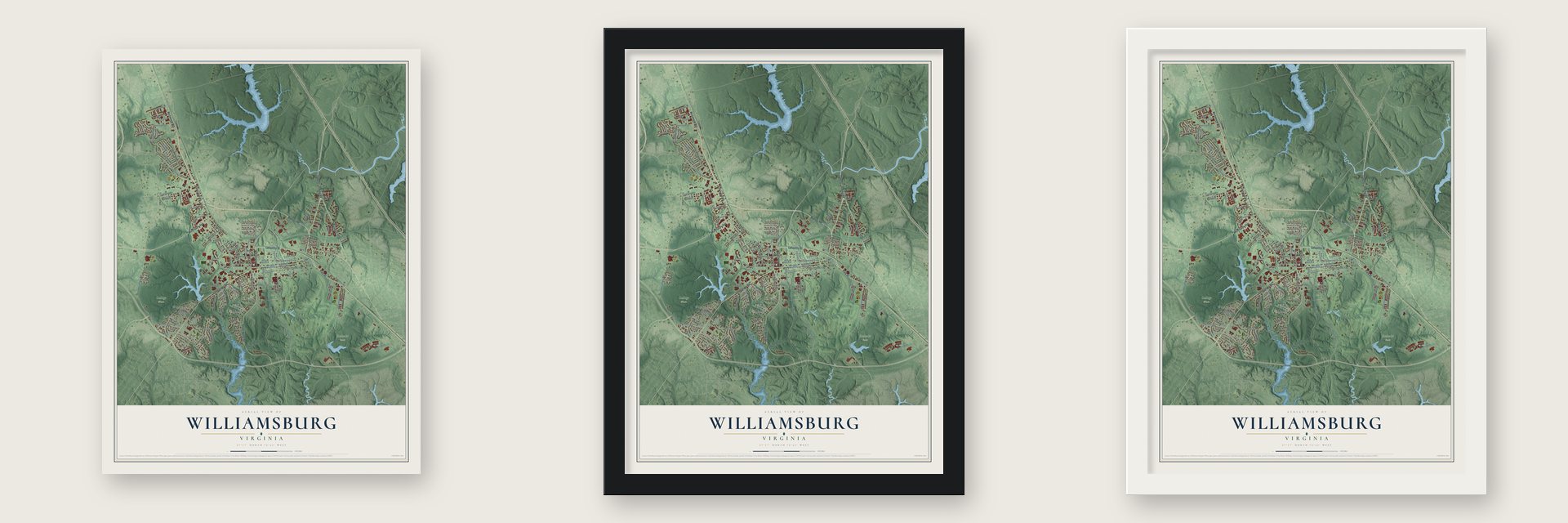
Unframed archival matte, a black wood frame or a white wood frame.
Up close
Geography Worth Displaying
This map was created using accurate cartographic data and authoritative geographic sources, including the U.S. Geological Survey and the Census Bureau. The map brings together terrain, waterways, roads, and building detail. The majority of the streets are labeled, houses are accurately depicted, and the topography is derived from government sources. Combining local data with carefully composed color and shading leads to this beautifully detailed Williamsburg artwork for your wall.
Rather than simply showing street outlines, we’ve included as many of the street names as we could reasonably fit on the map while keeping their names legible. Zoom in on the high resolution preview to see exactly what’s on the map. We truly set out to create a statement piece for anyone who loves Williamsburg. So whether it’s for you, or a gift for someone you love, we hope this map of Williamsburg brings back fond memories.
Read the story behind this map of Williamsburg, Virginia from 2026.

About Williamsburg, Virginia
Williamsburg is an independent city of 15,425 people on the Virginia Peninsula, between the James and York rivers. English colonists built Middle Plantation here between 1630 and 1633 as a guard post on a palisade that ran across the peninsula. When Jamestown burned during Bacon's Rebellion in 1676, Governor William Berkeley moved the government about 12 miles inland to this high ground for a while. The burgesses found it safer than the old capital and far less swampy.
The rebuilt Statehouse at Jamestown burned again by accident in 1698, and the government came back to Middle Plantation. In 1699 the burgesses agreed to stay for good, and the village was renamed Williamsburg for King William III. Theodorick Bland's town plan set the new Capitol across from the college, with Duke of Gloucester Street running between them. Williamsburg remained the capital until 1780, when Governor Thomas Jefferson had it moved to Richmond, which he thought was safer from British attack.
“applause under discharge of cannon and firing of small arms with illuminations [fireworks] in the evening”
- A college from 1693The Reverend James Blair spent several years lobbying in England and came home with a royal charter for a college named for King William and Queen Mary. It was founded at Middle Plantation in 1693 and held its first classes in temporary quarters in 1694. William & Mary is the second-oldest college in the United States. Union soldiers set fire to its College Building in 1862, during the Civil War.
- The Gunpowder Incident, 1775In April 1775 Lord Dunmore, Virginia's last royal governor, feared a rebellion and sent royal marines to take the gunpowder stored in the town magazine. Patrick Henry led Virginia militia toward Williamsburg, and Dunmore threatened to destroy the city if they attacked. The standoff ended when payment for the powder was arranged, and the clash helped lead the colony toward revolution.
- The first psychiatric hospitalOn June 4, 1770, the colonial legislature created a Public Hospital for people it described as having insane and disordered minds. It was the first hospital in the country built for mental illness. In 1771 the contractor Benjamin Powell raised its building, two stories tall, on Francis Street close to the college, with room for 24 patients. It is known today as Eastern State Hospital.
- Battle of Williamsburg, 1862On May 5, 1862, Confederate troops under General James Longstreet held a line of 14 redoubts east of town against George McClellan's Union army. College president Benjamin S. Ewell had overseen the building of that line. The delay let the retreating Confederates reach Richmond's outer defenses, but Union troops took Williamsburg the next day and held it until September 1865.
- Four National Register placesThe Armistead House, the Matthew Whaley School, the First Baptist Church and the Chandler Court and Pollard Park Historic District are all on the National Register. The First Baptist congregation first met for worship on Nassau Street early in the 19th century.
Find your street
Names on the Williamsburg map
Every name below is printed on this map. Look for your street, your school, the park where you played, or the pond down the road.
Places and landmarks6
- College Woods
- Redoubt Park
- Berkeley Hills
- Rich Neck Heights
- Skipwith Farms
- Walnut Hills
Streets and roads120
- Merrimac Trail
- Capitol Landing Road
- Monticello Avenue
- Lafayette Street
- Bypass Road
- Page Street
- York Street
- Richmond Road
- Jamestown Road
- South Henry Street
- North Henry Street
- Ironbound Road
- Francis Street East
- South Boundary Street
- Longhill Road
- Second Street
- Strawberry Plains Road
- John Tyler Highway
- Ukrop Way
- Colonial National Historic Parkway
- Holly Hills Drive
- Scotland Street
- South England Street
- Quarterpath Road
- Parkway Drive
- Vistor Center Drive
- Carters Grove Country Road
- Penniman Road
- Newport Avenue
- Mount Vernon Avenue
Show all 120 streets
- Thomas Nelson Lane
- Brooks Street
- Compton Drive
- Waltz Farm Drive
- Burns Lane
- Battery Boulevard
- Rolfe Road
- East Nicholson Street
- Landrum Drive
- Berkeley Lane
- Harrison Avenue
- Dunning Street
- Patrick Henry Drive
- North Boundary Street
- Middle Street
- Gooch Drive
- Pocahontas Avenue
- Campus Drive
- Matoaka Court
- South Nassau Street
- Griffin Avenue
- Franklin Street
- Treyburn Drive
- Walnut Hills Drive
- New Hope Road
- Jones Mill Lane
- Lewis Burwell Place
- Ridings Cv
- Claiborne Drive
- Mimosa Drive
- Henderson Street
- Burbank Street
- Wake Drive
- Cole Lane
- Virginia Avenue
- Woods Drive
- Roland Street
- Tyler Street
- First Street
- Iris Street
- John Tyler Lane
- West Duke of Gloucester Street
- William Way
- Yorkshire Drive
- Mill Neck Road
- Indian Springs Road
- Sir Thomas Lunsford Drive
- College Terrace
- Tyler Brooks Drive
- Prince George Street
- Westgate Circle
- Armistead Avenue
- Patriot Lane
- East Duke of Gloucester Street
- James Blair Drive
- Hunting Cv
- North England Street
- Beechwood Drive
- Forest Hill Drive
- Christopher Wren Road
- Patricks Crossing
- Mooretown Road
- Stadium Drive
- Exmoor Court
- Cove Point Lane
- Bailey Drive
- Powell Street
- King Street
- Grove Avenue
- Fifth Avenue
- North Waller Street
- Francis Street West
- Zelkova Road
- Shaindel Drive
- Powhatan Avenue
- Ashwood Drive
- Hangmans Lane
- Maynard Drive
- Priorslee Lane
- Adams Street
- Yates Drive
- Nelson Avenue
- Woodmere Drive
- Helmsley Road
- Lewis Robert Lane
- Bucktrout Lane
- Goodwin Street
- Braxton Court
- Reed Court
- Suri Drive
Names are listed as they appear on the printed map. Zoom into the product photos to find them.
The art of mapping a place
How This Map Was Made
Real places. Remarkable detail. Discover the layers that turn geographic data into a map of home.

The view from above
Aerial imagery reveals the character of the land: woodland, open fields, and the patterns of a place.

The shape of the land
Elevation data brings hills, valleys, and subtle changes in the landscape into view.

The details of home
Roads, waterways, and building footprints come together to make the map feel unmistakably local.

Geography becomes art
Considered color, shading, and typography bring the layers together in a map made for your wall.


Process illustrated with Mendon, Massachusetts. Aerial imagery: USDA NAIP. Terrain: USGS 3D Elevation Program. Map details and finished artwork: KNOWOL.
The Details
About This Print
Choose an archival matte print, or a black or white Ayous wood frame. The archival matte print is unframed.
Select your size and finish above to see the matching product image and price.
Materials & Craftsmanship
A contemporary map with the character of a classic atlas, printed on archival matte paper. Optional frames are made from Ayous wood.
Your printed map does not include the watermark shown in the full-map preview.
Shipping & Delivery
Free shipping within the United States. Every print is made to order in the USA.
Buying a gift? Add a note in your cart and we'll include it. We never put prices in the package.
Prints ship within 2 to 3 business days. Allow 7 to 10 days total from ordering for delivery. Timing may vary during holidays or periods of high order volume.
Read our shipping policy.
Returns and damaged prints
Each print is made to order. Change-of-mind refunds are not available after production.
If your print arrives damaged, misprinted or incorrect, contact support@knowol.com within 30 days of receiving it. Include your order number, photos and a description of the issue.
Read our full refund and replacement policy. For questions about your order, email support@knowol.com.
Find your town
Looking for another city?
Find a map of home in our Virginia collection, or any town in the country.
Nearby
Maps of towns near Williamsburg
Know someone from one of these towns? Their map makes a great gift.
 Scotland
, Virginia
From $39.99See the map
 Yorktown
, Virginia
From $39.99See the map
 Surry
Surry, Virginia
From $39.99See the map
More maps nearby: Gloucester Point, Gloucester Courthouse, Rushmere, Claremont and Newport News.