


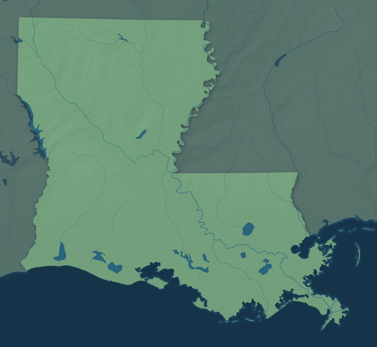
Louisiana Town Maps A to Z
All 594 town maps. Each one opens its own page with the whole map.
Find your town
We make detailed maps of towns across the country, the way they look today. Type your town or city to see its map.
A town mapExplore town maps from all 50 states, D.C., Puerto Rico and the U.S. territories.
Browse by State
- Alabama
- Alaska
- American Samoa
- Arizona
- Arkansas
- California
- Colorado
- Connecticut
- Delaware
- Florida
- Georgia
- Guam
- Hawaii
- Idaho
- Illinois
- Indiana
- Iowa
- Kansas
- Kentucky
- Maine
- Maryland
- Massachusetts
- Michigan
- Minnesota
- Mississippi
- Missouri
- Montana
- Nebraska
- Nevada
- New Hampshire
- New Jersey
- New Mexico
- New York
- North Carolina
- North Dakota
- Northern Mariana Islands
- Ohio
- Oklahoma
- Oregon
- Pennsylvania
- Puerto Rico
- Rhode Island
- South Carolina
- South Dakota
- Tennessee
- Texas
- U.S. Virgin Islands
- Utah
- Vermont
- Virginia
- Washington
- Washington, D.C.
- West Virginia
- Wisconsin
- Wyoming

From $39.99

From $39.99

From $39.99

From $39.99

From $39.99
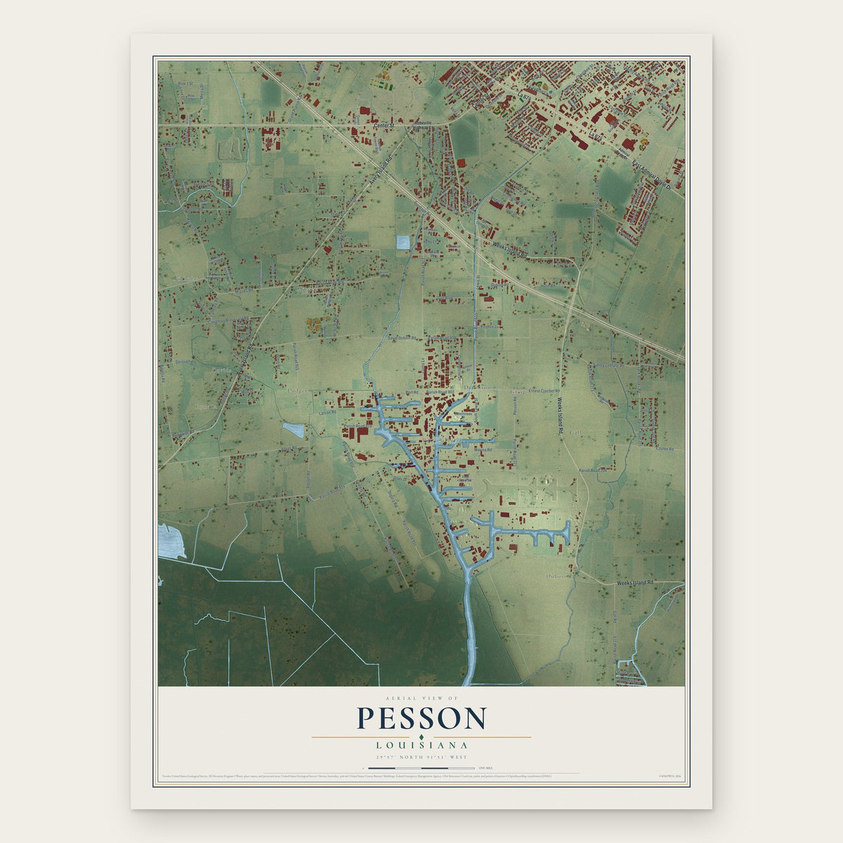
From $39.99

From $39.99

From $39.99

From $39.99

From $39.99

From $39.99

From $39.99

Jefferson Island, Louisiana Map Art
From $39.99
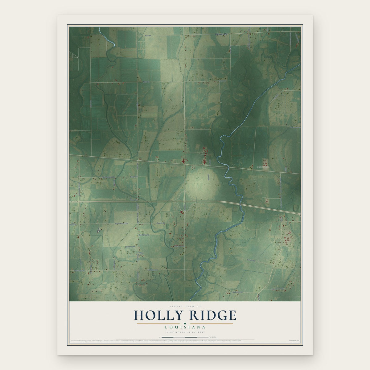
Holly Ridge, Louisiana Map Art
From $39.99

From $39.99

From $39.99

Grand Prairie, Louisiana Map Art
From $39.99

From $39.99

Fort Necessity, Louisiana Map Art
From $39.99

Forked Island, Louisiana Map Art
From $39.99

From $39.99

From $39.99

From $39.99

From $39.99

From $39.99

From $39.99

From $39.99

From $39.99

From $39.99

Belle Place, Louisiana Map Art
From $39.99

From $39.99

From $39.99

Bayou Chicot, Louisiana Map Art
From $39.99

From $39.99

From $39.99

Fort Polk North, Louisiana Map Art
From $39.99

Port Sulphur, Louisiana Map Art
From $39.99

From $39.99

From $39.99

From $39.99

Des Allemands, Louisiana Map Art
From $39.99

From $39.99

From $39.99
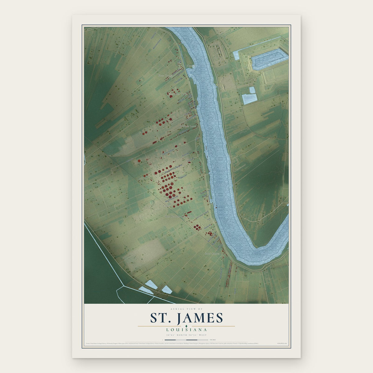
From $39.99
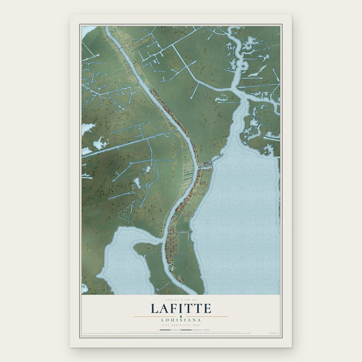
From $39.99

From $39.99

From $39.99

From $39.99