
Search for another town



Free U.S. delivery 7 to 10 days after you order
Berwyn, Pennsylvania Map Art
Building by building, with labeled streets and shaded relief.
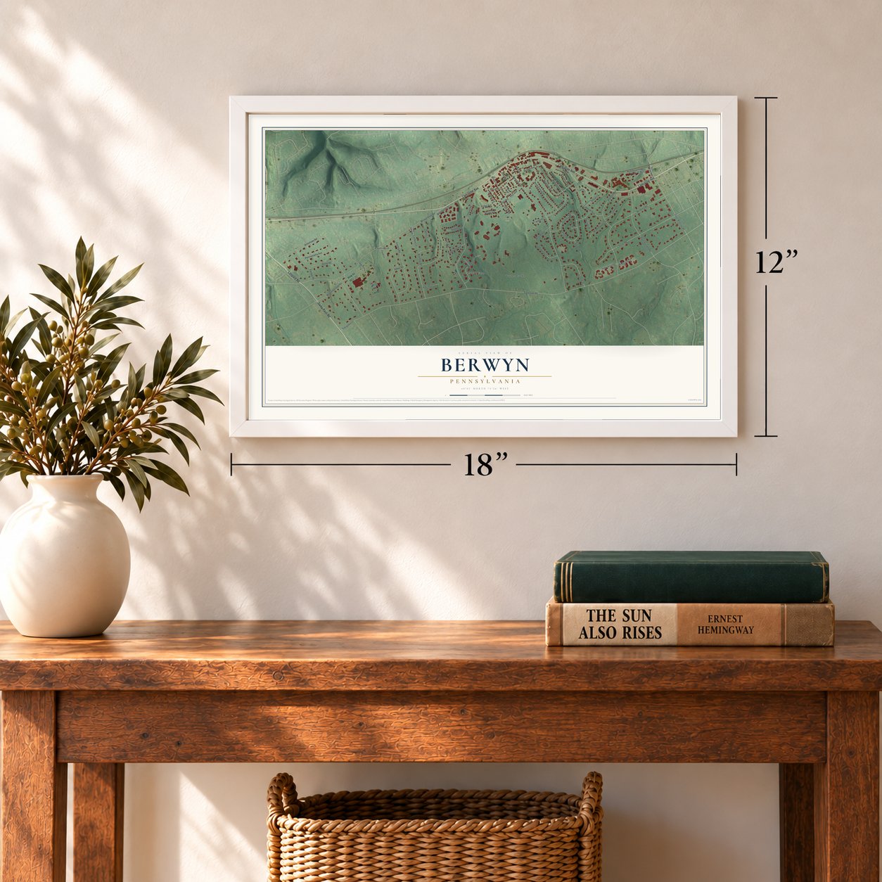
12" x 18" Archival Matte Print
A Map of Home. A Work of Art.
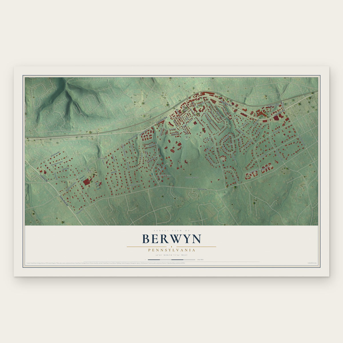
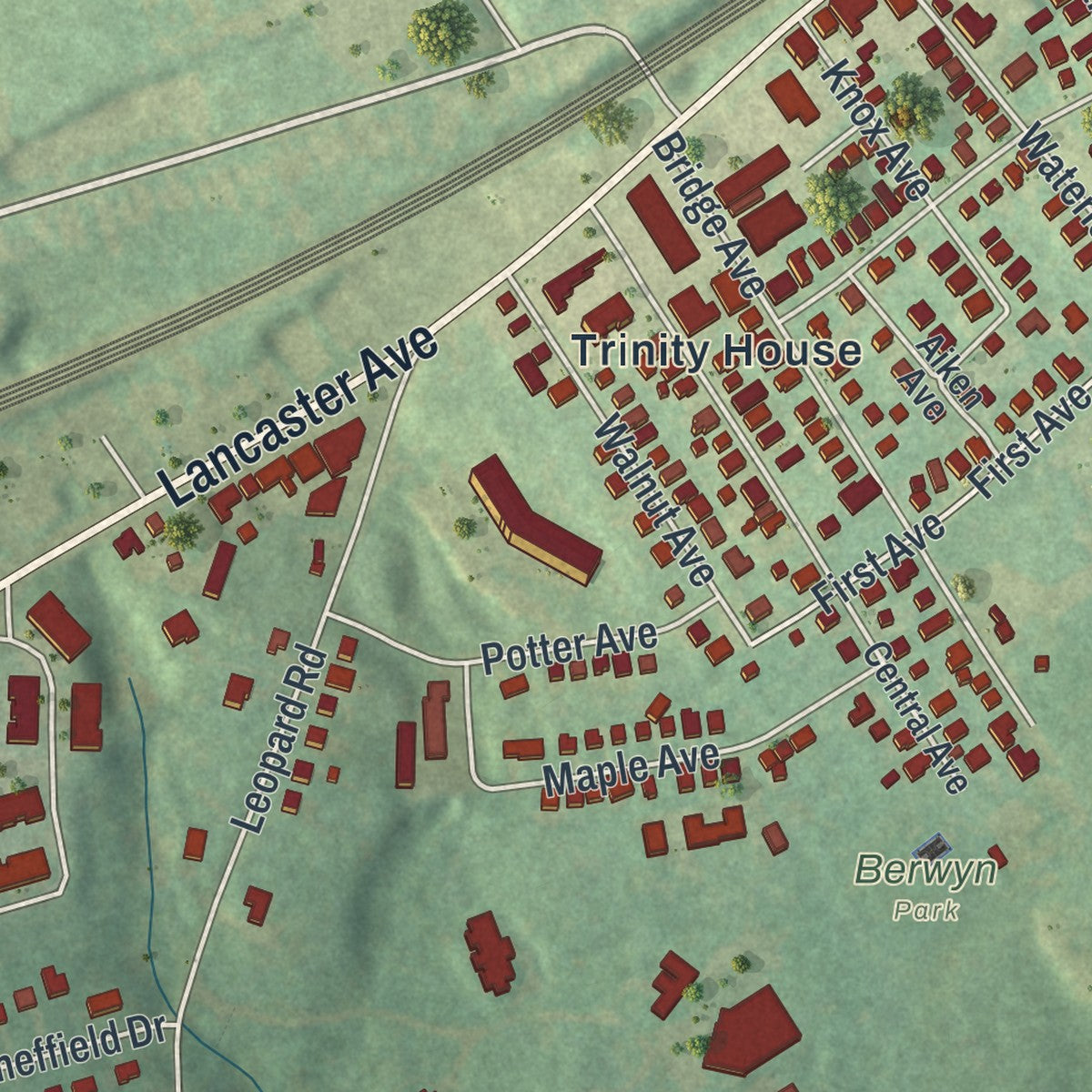
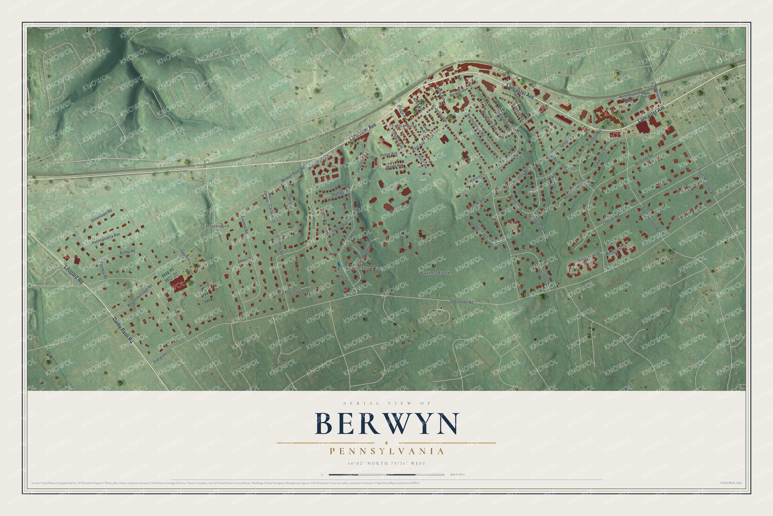
Explore Berwyn, Pennsylvania from a whole new perspective. Created using aerial imagery and detailed geographic data, this map captures Berwyn building by building, with labeled streets, familiar landmarks, and shaded topographical relief that highlights the natural contours of the landscape.
Combining modern data with the timeless character of a vintage atlas, this map is just as interesting up close as it is beautiful on the wall. Whether you grew up in Berwyn, spent memorable years there, or call it home today, this unique map is a great way to celebrate a place that means something to you. Zoom in on the preview to look for your street, and then order a print to put your memories on the wall.
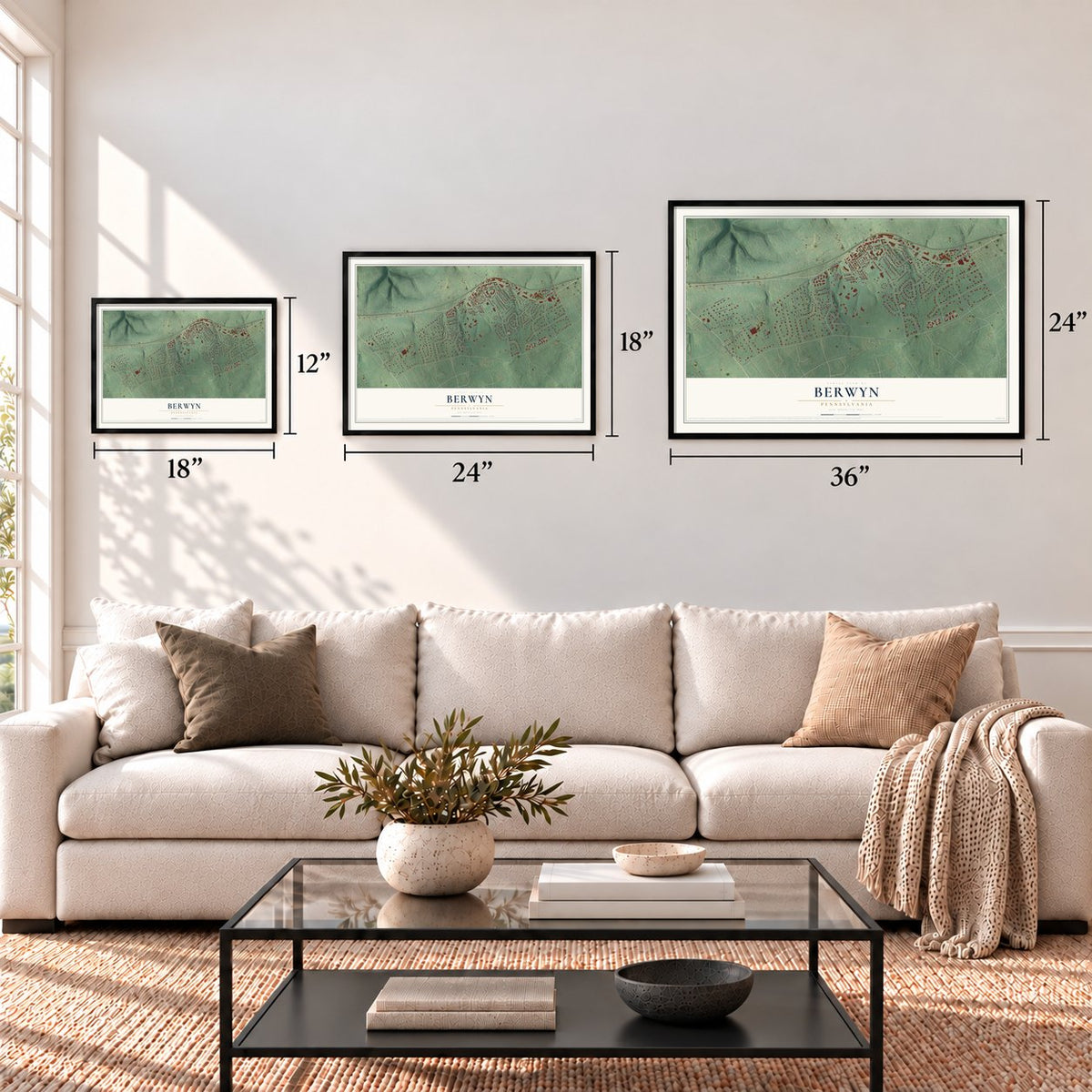
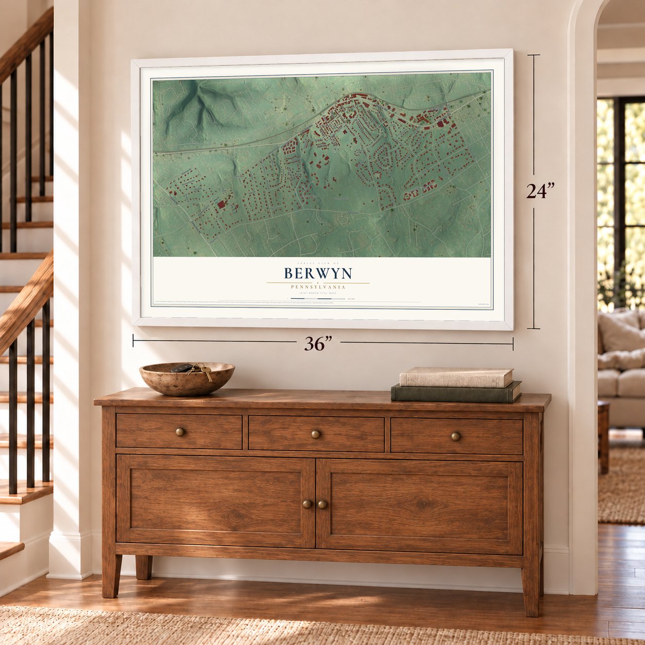
Three ways to hang it
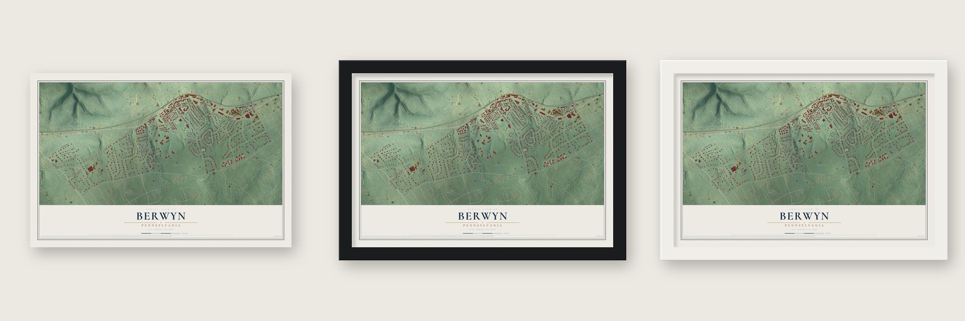
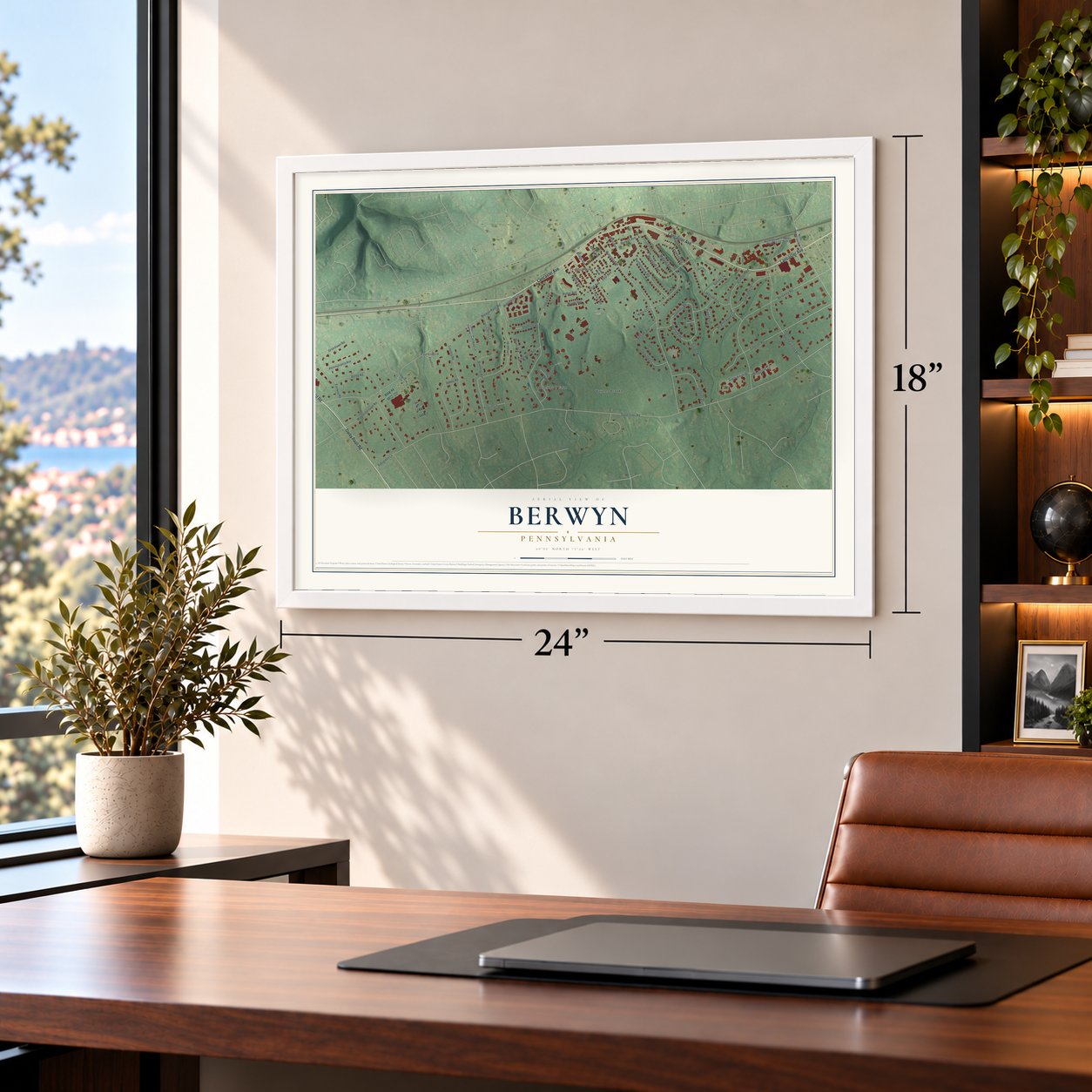
Unframed archival matte, a black wood frame or a white wood frame.
Up close
Geography Worth Displaying
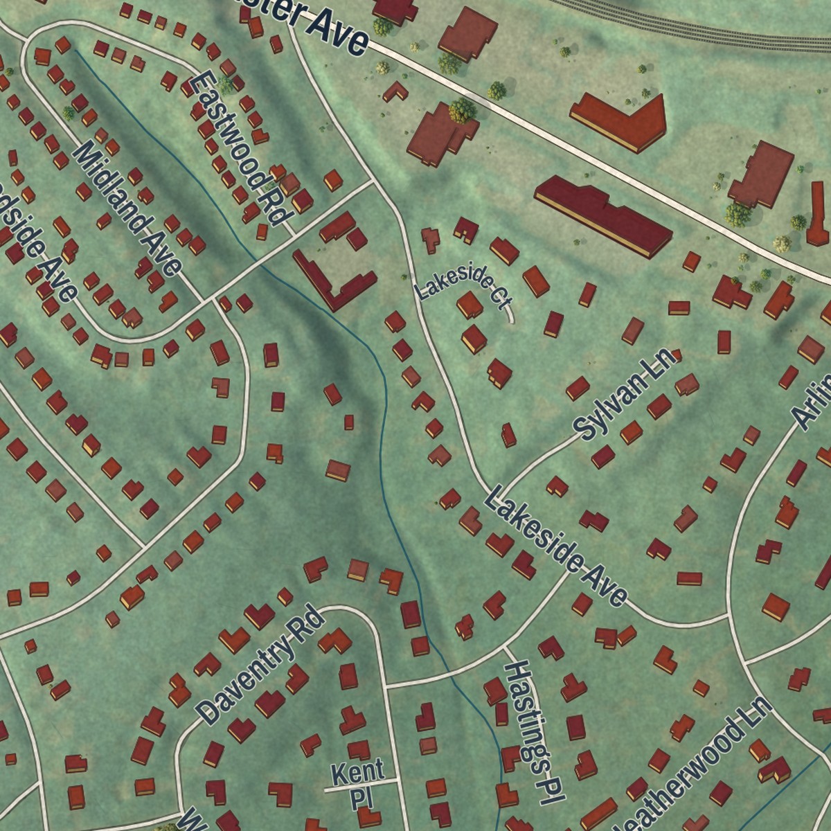
This map was created using accurate cartographic data and authoritative geographic sources, including the U.S. Geological Survey and the Census Bureau. The map brings together terrain, waterways, roads, and building detail. The majority of the streets are labeled, houses are accurately depicted, and the topography is derived from government sources. Combining local data with carefully composed color and shading leads to this beautifully detailed Berwyn artwork for your wall.
Rather than simply showing street outlines, we’ve included as many of the street names as we could reasonably fit on the map while keeping their names legible. Zoom in on the high resolution preview to see exactly what’s on the map. We truly set out to create a statement piece for anyone who loves Berwyn. So whether it’s for you, or a gift for someone you love, we hope this map of Berwyn brings back fond memories.
Read the story behind this map of Berwyn, Pennsylvania from 2026.
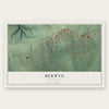
Find your street
Names on the Berwyn map
Every name below is printed on this map. Look for your street, your school, the park where you played, or the pond down the road.
Places and landmarks5
- Berwyn Park
- Daylesford
- Blackburn Farm
- Waynes Brooke
- Trinity House
Streets and roads66
- Lancaster Avenue
- Darby Paoli Road
- Leopard Road
- Berwyn Paoli Road
- First Avenue
- Sugartown Road
- Waterloo Avenue
- Berkeley Road
- Lenape Drive
- Lakeside Avenue
- Chester Road
- Midland Avenue
- South Fairfield Road
- Woodside Avenue
- Greenlawn Road
- South Waterloo Road
- Country Road
- Manchester Court
- Daventry Road
- Berwyn Avenue
- Abbey Road
- Arlington Road
- Ashby Road
- Watford Road
- Bridge Avenue
- Bartholomew Road
- Blackburn Drive
- Lindsey Drive
- Pennsylvania Avenue
- Oakwood Lane
Show all 66 streets
- Fairway Road
- Waynesborough Road
- Edgewood Avenue
- Maple Avenue
- Eastwood Road
- Main Avenue
- Evergreen Lane
- Knox Avenue
- Walnut Avenue
- Dogwood Lane
- Winthrop Road
- Potter Avenue
- Heatherwood Lane
- Sugar Knoll Drive
- Cartway Lane
- Sheffield Drive
- Sussex Place
- Hillside Avenue
- Cherry Lane
- Sylvan Lane
- Pilgrim Lane
- Hearn Avenue
- Wingstone Lane
- Hastings Place
- Central Avenue
- The Cartway
- North Devon Park Court
- Aiken Avenue
- North Waterloo Road
- Foxall Lane
- Longcorse Lane
- Devon Park Court
- Midland Circle
- Kent Place
- Lakeside Court
- James Lane
Names are listed as they appear on the printed map. Zoom into the product photos to find them.
About Berwyn, Pennsylvania
Berwyn is a community of 3,775 people in Chester County, spread across Tredyffrin and Easttown townships on the Philadelphia Main Line. Before 1877 the village went by several names, among them Cocheltown, Glassley, Gaysville and Reeseville. The last of these came from a sign that was hung on the little Reese schoolhouse around 1835.
Reeseville stayed small until the Civil War years. Its post office opened in Milton Fussell's store on November 12, 1861, and the Pennsylvania Railroad added a flag stop in 1869. When the nation marked its Centennial, about 200 people lived there in forty homes, with a Presbyterian church. The railroad liked Welsh names for its Main Line stations, so on October 24, 1877, the post office was renamed Berwyn, after the Berwyn Hills of Wales.
“the name gives universal satisfaction because it is short, significant and euphonious, and because it is the only name of its kind in the Western Hemisphere.”
- The Berwyn School FightIn 1932 the local school districts tried to split their elementary schools by race. Black families took the districts to court and kept their children out of the separate schools. The districts gave up in 1934, two decades before Brown v. Board of Education in 1954 ruled school segregation unconstitutional across the country, making the fight an early win for the civil rights movement.
- Footlighters TheaterFootlighters Theater, a nonprofit stage in Berwyn, has put on shows for more than 80 years. No other community theatre on the Main Line has been running longer.
- A YMCA on the Cassatt estateIn 1962 the Upper Main Line YMCA got its start on land that had been J. Gardner Cassatt's summer estate, 124 acres in all. He was an investment banker and the brother of the painter Mary Cassatt and the railroad leader Alexander Cassatt.
Keep exploring Pennsylvania
Berwyn is one of 3,725 Pennsylvania towns we've mapped. Every dot on the map is a print of its own.
The search covers every state, Pennsylvania first.
Near Berwyn
Order 2 or more town maps and save 10%. Shown in the size and finish you picked above, so they hang as a set.
- Easttown 12" x 18" / Archival Matte Print $39.99
- Devon 12" x 18" / Archival Matte Print $39.99
- Tredyffrin 12" x 18" / Archival Matte Print $39.99

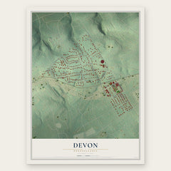
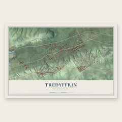
More maps nearby: Chesterbrook, Paoli, St. Davids, Newtown and Radnor.
The art of mapping a place
How This Map Was Made
Real places. Remarkable detail. Discover the layers that turn geographic data into a map of home.

The view from above
Aerial imagery reveals the character of the land: woodland, open fields, and the patterns of a place.

The shape of the land
Elevation data brings hills, valleys, and subtle changes in the landscape into view.

The details of home
Roads, waterways, and building footprints come together to make the map feel unmistakably local.

Geography becomes art
Considered color, shading, and typography bring the layers together in a map made for your wall.


Process illustrated with Mendon, Massachusetts. Aerial imagery: USDA NAIP. Terrain: USGS 3D Elevation Program. Map details and finished artwork: KNOWOL.
The Details
About This Print
Choose an archival matte print, or a black or white Ayous wood frame. The archival matte print is unframed.
Select your size and finish above to see the matching product image and price.
Materials & Craftsmanship
A contemporary map with the character of a classic atlas, printed on archival matte paper. Optional frames are made from Ayous wood.
Your printed map does not include the watermark shown in the full-map preview.
Shipping & Delivery
Free shipping within the United States. Every print is made to order in the USA.
Buying a gift? Add a note in your cart and we'll include it. We never put prices in the package.
Prints ship within 2 to 3 business days. Allow 7 to 10 days total from ordering for delivery. Timing may vary during holidays or periods of high order volume.
Read our shipping policy.
Returns and damaged prints
Each print is made to order. Change-of-mind refunds are not available after production.
If your print arrives damaged, misprinted or incorrect, contact support@knowol.com within 30 days of receiving it. Include your order number, photos and a description of the issue.
Read our full refund and replacement policy. For questions about your order, email support@knowol.com.