
Search for another town




Free U.S. delivery 7 to 10 days after you order
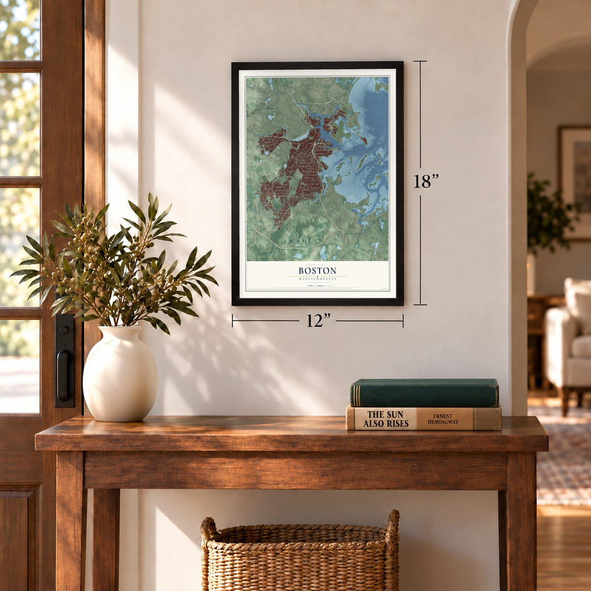
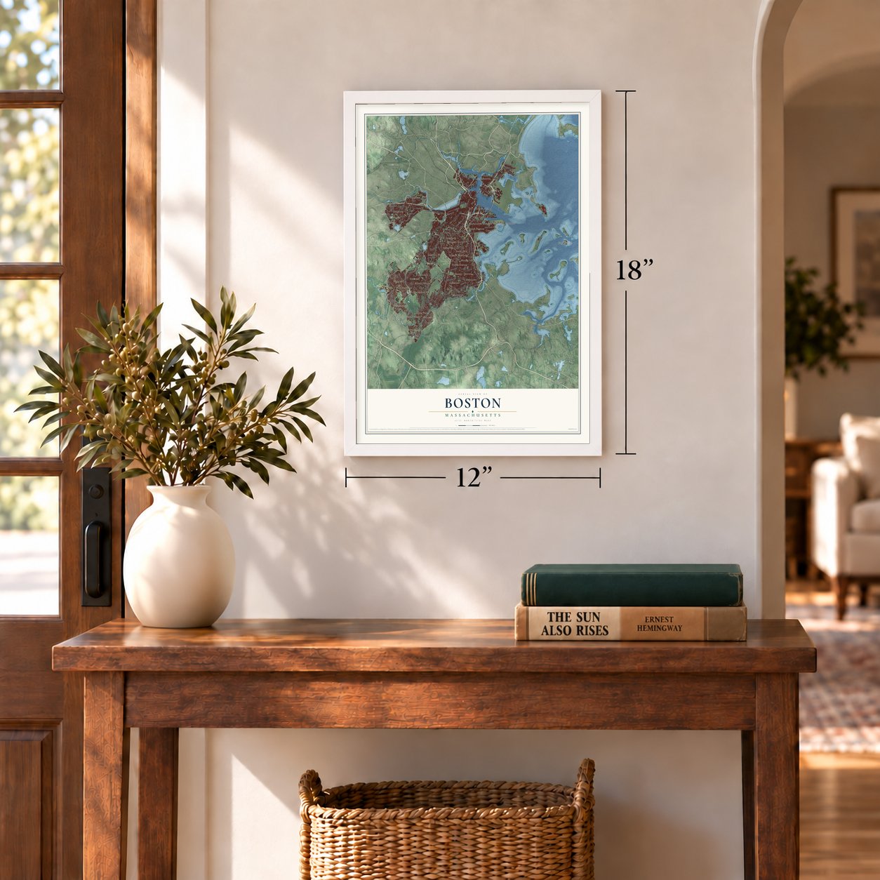
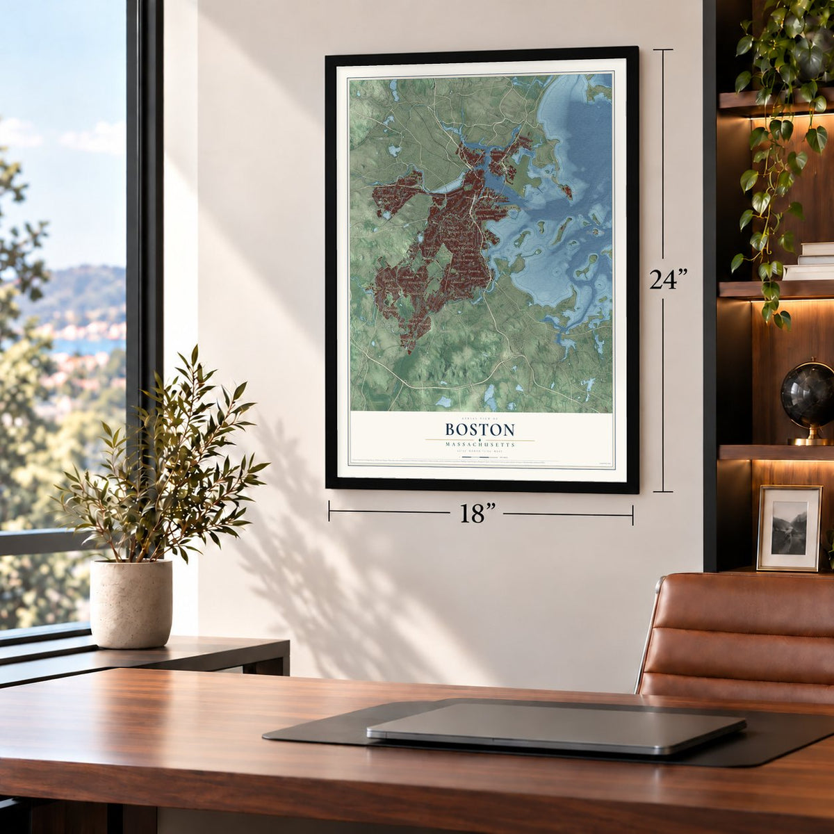
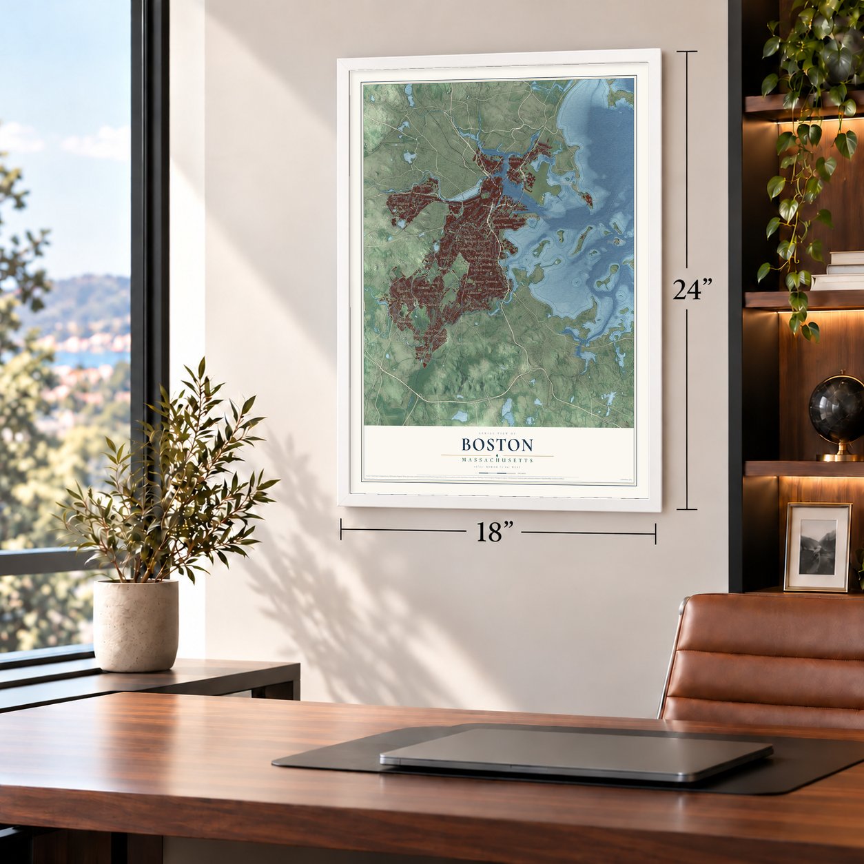
Boston, Massachusetts Map Art
Building by building, with labeled streets and shaded relief.
12" x 18" Archival Matte Print
A Map of Home. A Work of Art.
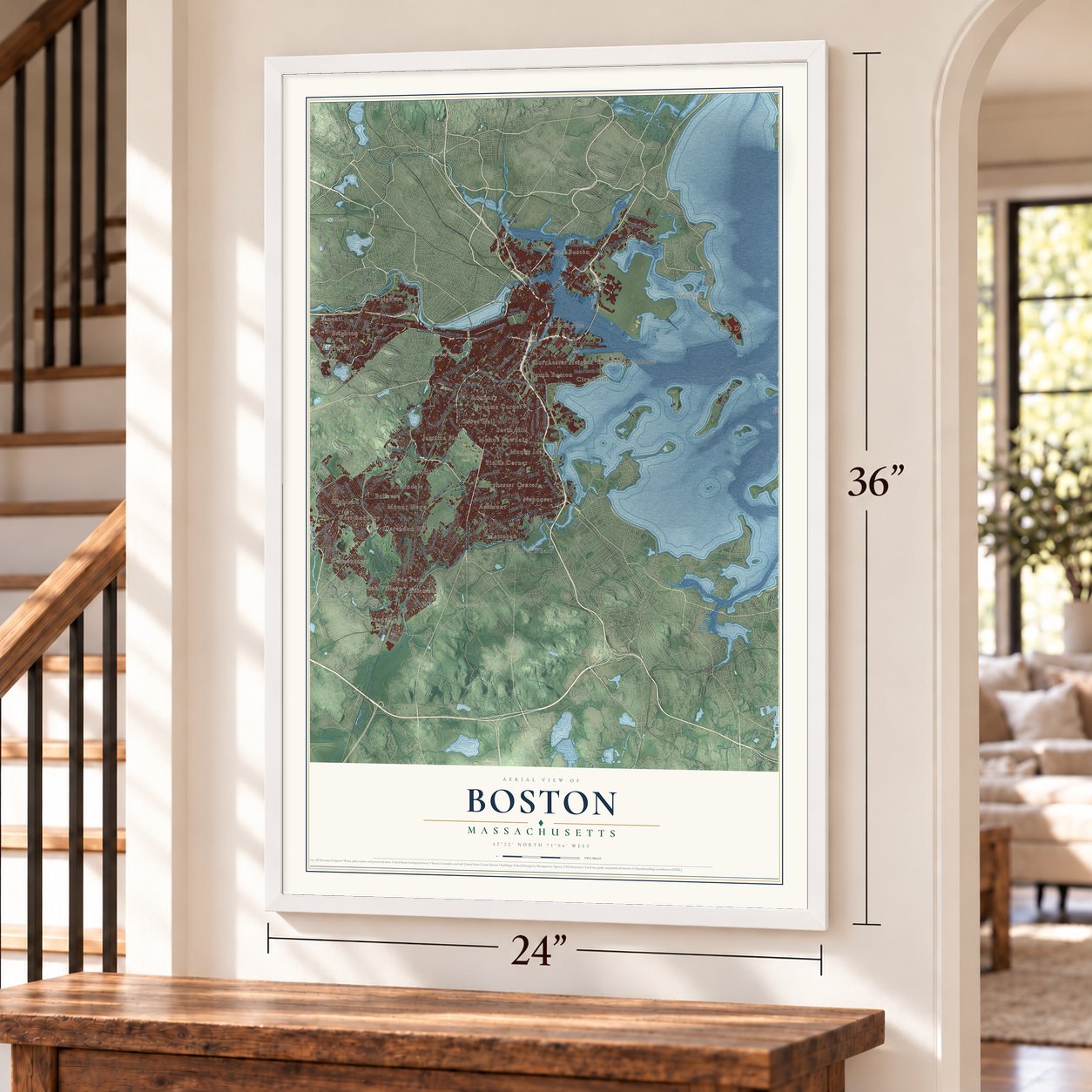
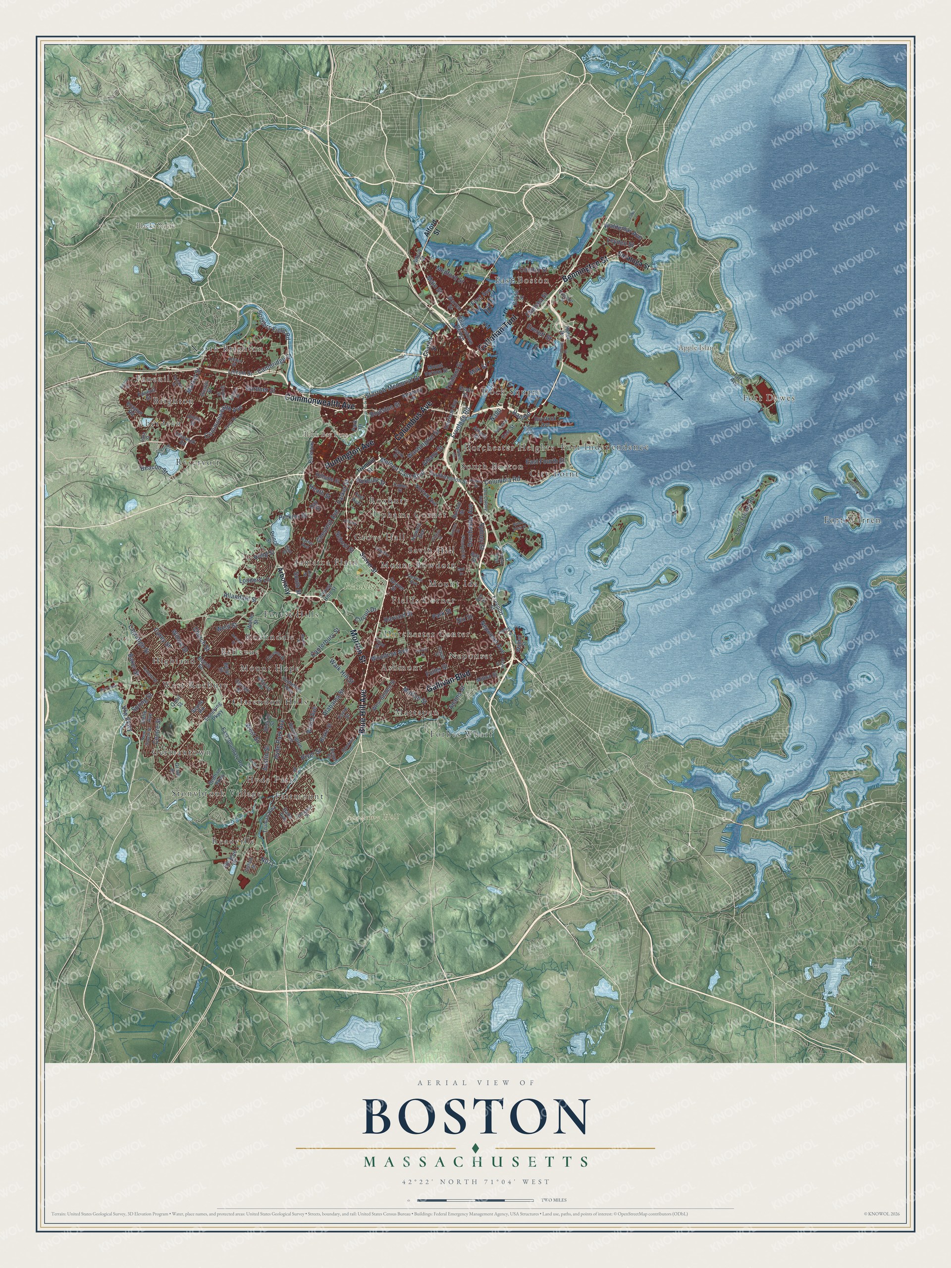
Explore Boston, Massachusetts from a whole new perspective. Created using aerial imagery and detailed geographic data, this map captures Boston building by building, with labeled streets, familiar landmarks, and shaded topographical relief that highlights the natural contours of the landscape.
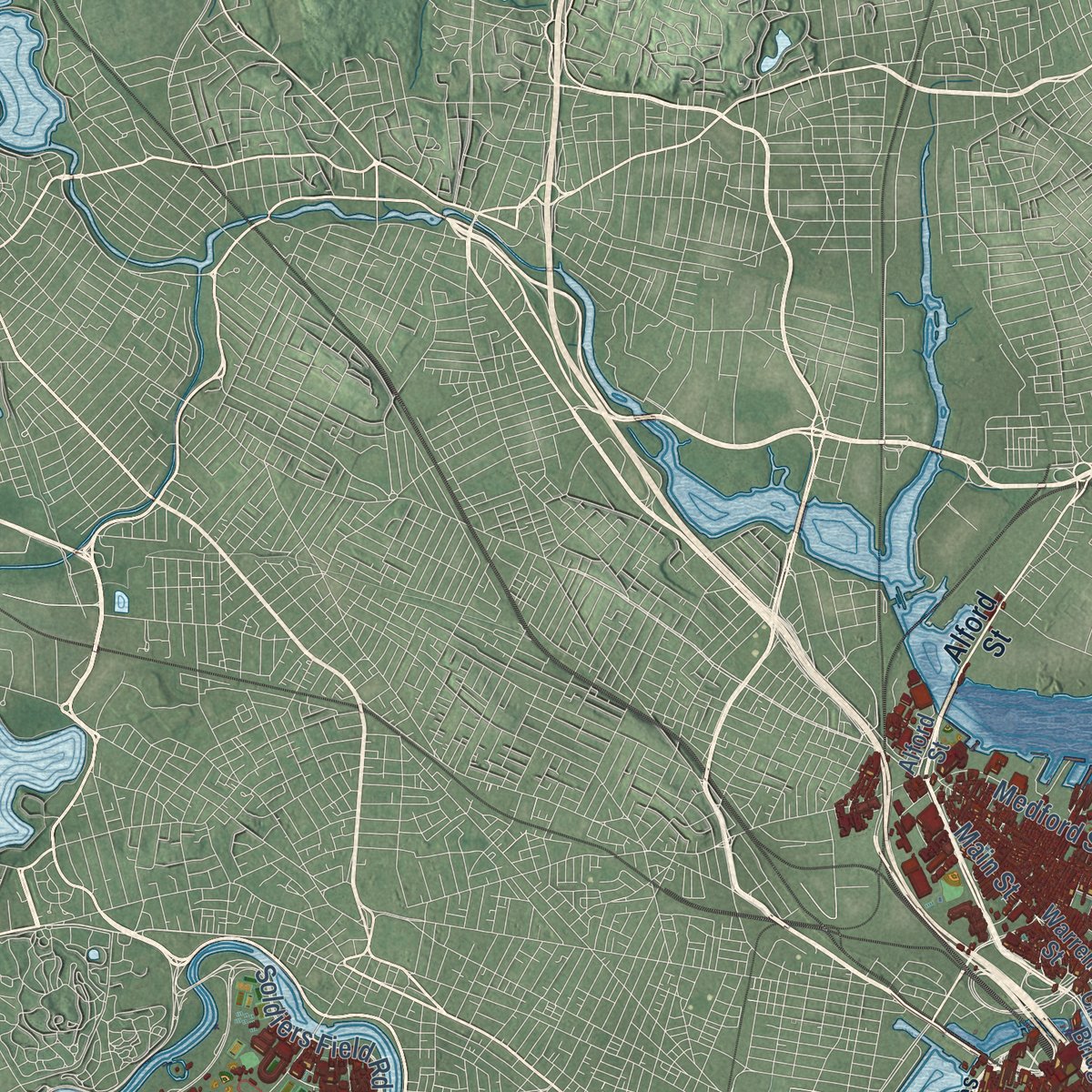
Combining modern data with the timeless character of a vintage atlas, this map is just as interesting up close as it is beautiful on the wall. Whether you grew up in Boston, spent memorable years there, or call it home today, this unique map is a great way to celebrate a place that means something to you. Zoom in on the preview to look for your street, and then order a print to put your memories on the wall.
Three ways to hang it
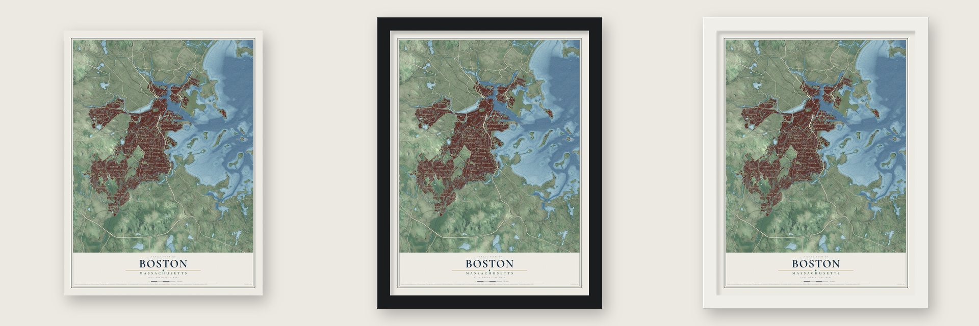
Unframed archival matte, a black wood frame or a white wood frame.
Up close
Geography Worth Displaying
This map was created using accurate cartographic data and authoritative geographic sources, including the U.S. Geological Survey (USGS) and FEMA. The map brings together terrain, waterways, roads, and building detail. The majority of the streets are labeled, houses are accurately depicted, and the topography is derived from government sources. Combining local data with carefully composed color and shading leads to this beautifully detailed Boston artwork for your wall.
Rather than simply showing street outlines, we’ve included as many of the street names as we could reasonably fit on the map while keeping their names legible. Zoom in on the high resolution preview to see exactly what’s on the map. We truly set out to create a statement piece for anyone who loves Boston. So whether it’s for you, or a gift for someone you love, we hope this map of Boston brings back fond memories.
Explore the full map of Boston, Massachusetts and read about the local places it shows.
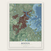
Find your street
Names on the Boston map
Every name below is printed on this map. Look for your street, your school, the park where you played, or the pond down the road.
Places and landmarks43
- Academy Hill
- Apple Island
- Back Bay Fens
- Blacks Nook
- Franklin Park
- Readville
- Highland
- Faneuil
- Forbes Wharf
- Roslindale
- Savin Hill
- Neponset
Show all 43 places
- Fort Independence
- East Boston
- Fairmount
- South Boston
- Fort Warren
- Germantown
- Reservoir
- Roxbury
- North Brighton
- Fort Dawes
- Clarendon Hills
- Ashmont
- Mattapan
- Mount Bowdoin
- Jamaica Plain
- City Point
- Forest Hills
- Aberdeen
- Bellevue
- Stonybrook Village
- Mount Hope
- Fields Corner
- Dorchester Center
- Grove Hall
- Dock Square
- West Roxbury
- Hyde Park
- Brighton
- Uphams Corner
- Dorchester Heights
- Mount Ida
Streets and roads175
- Columbus Avenue
- Morton Street
- Gallivan Boulevard
- Callahan Tunl
- Huntington Avenue
- Commonwealth Avenue
- Blue Hill Avenue
- Bennington Street
- Soldiers Field Road
- Storrow Memorial Drive
- Beacon Street
- Adams Street
- Melnea Cass Boulevard
- Vfw Parkway
- Boylston Street
- Chelsea Street
- Tremont Street
- Cambridge Street
- Centre Street
- Washington Street
- Columbia Road
- Albany Street
- Haul Road
- Dorchester Avenue
- Austin Street
- Frontage Road
- Market Street
- Neponset Avenue
- Spring Street
- Milk Street
Show all 175 streets
- River Street
- Hyde Park Avenue
- South Street
- Harvard Street
- Park Street
- Lagrange Street
- Long Island Road
- Circuit Drive
- Canterbury Street
- Everett Street
- Baker Street
- Walk Hill Street
- Weld Street
- Pond Street
- Corey Street
- Parker Street
- West Street
- Gardner Street
- Church Street
- Main Street
- Perkins Street
- School Street
- Medford Street
- Waldemar Avenue
- East Fourth Street
- Fuller Street
- Chestnut Avenue
- Wood Avenue
- Heath Street
- Willow Street
- Woodrow Avenue
- Sydney Street
- Alabama Street
- Allandale Street
- Condor Street
- Leyden Street
- Louders Lane
- Roxbury Street
- First Avenue
- Dix Street
- Alford Street
- Saratoga Street
- Arborway
- Park Drive
- Boston Street
- Freeport Street
- Lincoln Street
- Faneuil Street
- Prince Street
- Dedham Parkway
- Warren Street
- Truman Highway
- Milton Street
- Riverway
- Mount Vernon Street
- Cummins Highway
- Harrison Avenue
- Enneking Parkway
- Beech Street
- East Boundary Road
- Newbury Street
- Tafts Avenue
- East Street
- Grove Street
- Cornell Street
- Walter Street
- Forest Hills Street
- Dana Avenue
- Border Street
- Southampton Street
- Athens Street
- Walnut Street
- Norfolk Avenue
- Charlestown Bridge
- West Selden Street
- Dry Dock Avenue
- Hillside Street
- Chiswick Road
- Howard Avenue
- Union Street
- Sprague Street
- Blake Street
- Hotel Drive
- Sherrin Street
- Essex Street
- Brayton Road
- Seaver Street
- Dustin Street
- Belle Avenue
- Day Street
- Searle Road
- Quail Street
- Fort Avenue
- Favre Street
- Beryl Street
- Bay Street
- Charles Street
- Dudley Street
- Allston Street
- Geneva Avenue
- Old Colony Avenue
- Temple Street
- Prescott Street
- Pleasant Street
- Elm Street
- Lake Street
- Florence Street
- Clifford Street
- Prospect Street
- Gordon Street
- Conley Street
- Eliot Street
- New Haven Street
- Whitford Street
- Holton Street
- Lovell Island Road
- Belnel Road
- Floyd Street
- Lenox Street
- Ocean Street
- Parley Avenue
- Lee Street
- Preble Street
- Summer Street
- Harborside Drive
- Savin Hill Avenue
- Sumner Street
- Parsons Street
- Crawford Street
- Widett Circle
- Chestnut Hill Drive
- Corey Road
- Bourne Street
- Gordon Avenue
- Hallet Street
- Edgewater Drive
- Bullock Street
- Rivermoor Street
- Hewlett Street
- Beach Point Place
- Virginia Street
- Dimock Street
- Torrey Street
- Burton Street
- RR Avenue
Names are listed as they appear on the printed map. Zoom into the product photos to find them.
About Boston, Massachusetts
Boston is the capital and largest city of Massachusetts, with 675,647 people at the 2020 census. The Massachusett people kept seasonal camps here long before Europeans came, and a fishweir found under Boylston Street, one of New England's oldest, may have been built 7,000 years before their arrival. In 1625 an English clergyman, William Blaxton, settled by himself on the Shawmut Peninsula.
In 1630 the colony Isaac Johnson's Puritans had planted at Charlestown was failing, so Blaxton invited them over the water to draw from his spring. Johnson named the new town for his home of Boston in Lincolnshire, a name shortened from St. Botolph's town, and he died that September 30. In 1634 Blaxton sold most of his land to the settlers, and it became Boston Common, the nation's first public park.
- Boston Latin School, 1635The Puritans who founded Boston cared deeply about schooling. Boston Latin School first opened its doors on April 23, 1635, and it has stayed open ever since. It is counted as the first public school in America.
- Evacuation Day, March 17The siege of Boston began on April 19, 1775, and George Washington took command on July 2. Boston Neck was only about 100 feet wide, too narrow for a direct attack. Rufus Putnam designed portable wooden forts, and in one night they rose on Dorchester Heights, armed with cannon Henry Knox had dragged over the snow from Fort Ticonderoga. British guns fired for two hours without reaching them, and General Howe withdrew his army on March 17, 1776.
- The African Meeting HouseIn 1806, as Boston was becoming a center of the antislavery fight, Black Baptists under the Reverend Thomas Paul raised the African Meeting House on Beacon Hill. No older Black church building survives anywhere in the United States, and the Museum of African American History owns it today.
- From town to city in 1822In 1822 Bostonians voted to become a city, and on March 19 they accepted its charter. At that point the city covered 4.8 square miles and had about 46,226 residents. Over time it grew by filling tidal flats and cutting down hills, and by annexing nearby towns: South Boston (1804), East Boston (1836), Roxbury (1868), Dorchester (1870), Brighton, West Roxbury and Charlestown (1874) and Hyde Park (1912).
- Olmsted's Emerald NecklaceFrederick Law Olmsted tied together about seven miles of parks, running from Boston Common out to Franklin Park. Work on the Back Bay Fens began in 1879, turning a foul tidal creek into parkland, and gardeners still tend the victory garden started there in 1941. Franklin Park, the biggest at 527 acres, is named for Benjamin Franklin, who was born in Boston.
Keep exploring Massachusetts
Boston is one of 470 Massachusetts towns we've mapped. Every dot on the map is a print of its own.
The search covers every state, Massachusetts first.
Near Boston
Order 2 or more town maps and save 10%. Shown in the size and finish you picked above, so they hang as a set.
- South Boston 12" x 18" / Archival Matte Print $39.99
- East Boston 12" x 18" / Archival Matte Print $39.99
- South End 12" x 18" / Archival Matte Print $39.99
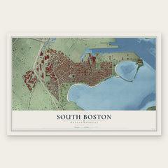


More maps nearby: Winthrop, Dorchester, East Cambridge, Roxbury and Charlestown.
The art of mapping a place
How This Map Was Made
Real places. Remarkable detail. Discover the layers that turn geographic data into a map of home.

The view from above
Aerial imagery reveals the character of the land: woodland, open fields, and the patterns of a place.

The shape of the land
Elevation data brings hills, valleys, and subtle changes in the landscape into view.

The details of home
Roads, waterways, and building footprints come together to make the map feel unmistakably local.

Geography becomes art
Considered color, shading, and typography bring the layers together in a map made for your wall.


Process illustrated with Mendon, Massachusetts. Aerial imagery: USDA NAIP. Terrain: USGS 3D Elevation Program. Map details and finished artwork: KNOWOL.
The Details
About This Print
Choose an archival matte print, or a black or white Ayous wood frame. The archival matte print is unframed.
Select your size and finish above to see the matching product image and price.
Materials & Craftsmanship
A contemporary map with the character of a classic atlas, printed on archival matte paper. Optional frames are made from Ayous wood.
Your printed map does not include the watermark shown in the full-map preview.
Shipping & Delivery
Free shipping within the United States. Every print is made to order in the USA.
Buying a gift? Add a note in your cart and we'll include it. We never put prices in the package.
Prints ship within 2 to 3 business days. Allow 7 to 10 days total from ordering for delivery. Timing may vary during holidays or periods of high order volume.
Read our shipping policy.
Returns and damaged prints
Each print is made to order. Change-of-mind refunds are not available after production.
If your print arrives damaged, misprinted or incorrect, contact support@knowol.com within 30 days of receiving it. Include your order number, photos and a description of the issue.
Read our full refund and replacement policy. For questions about your order, email support@knowol.com.