
Search for another town

Free U.S. delivery 7 to 10 days after you order
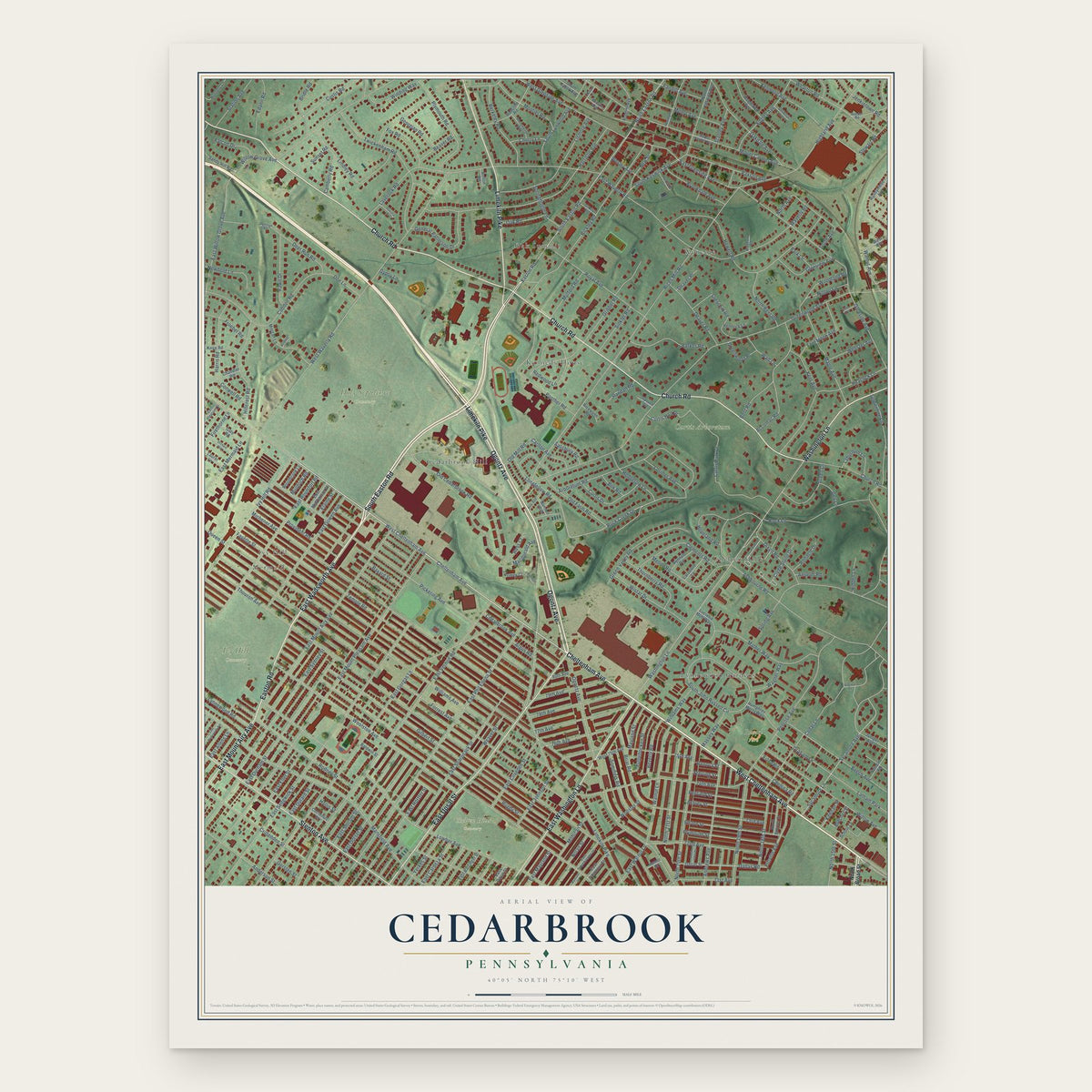
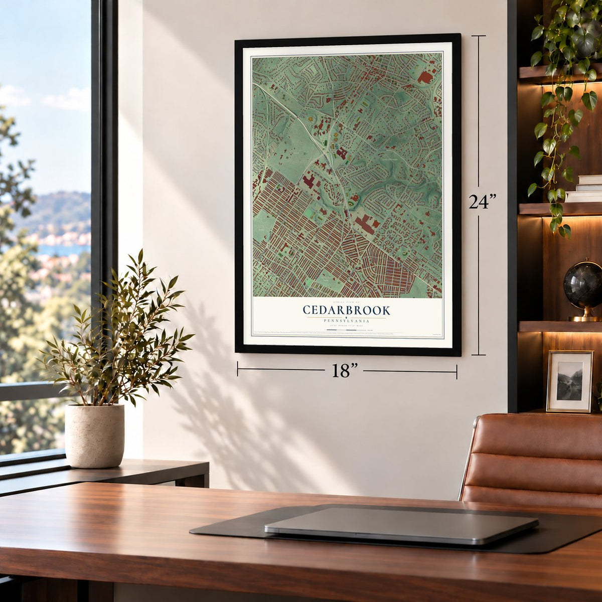
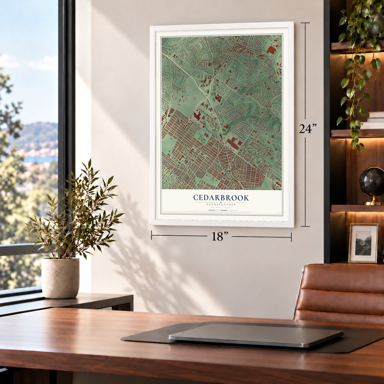
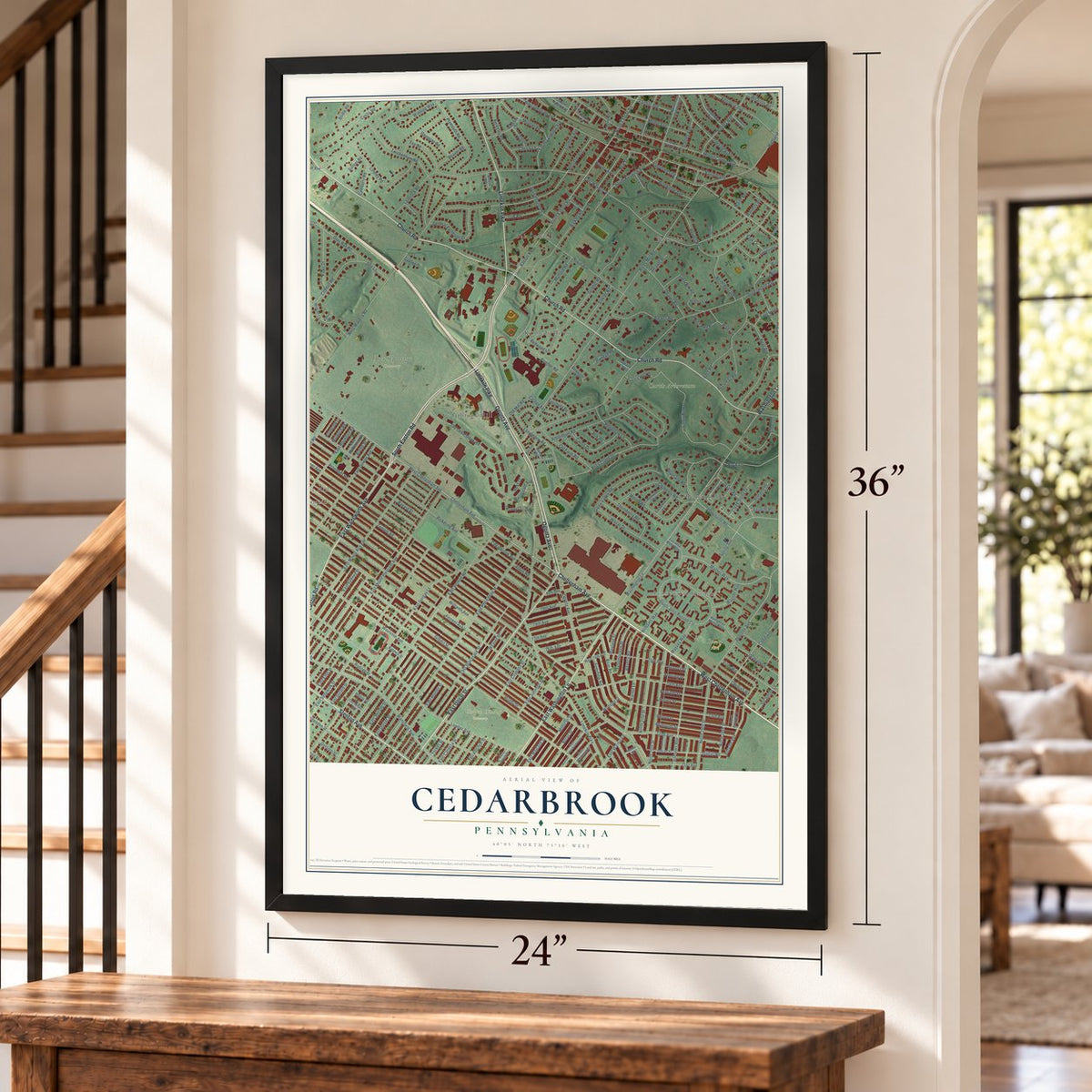
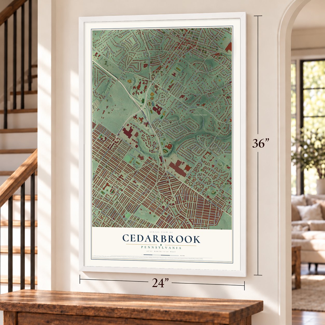
Cedarbrook, Pennsylvania Map Art
Building by building, with labeled streets and shaded relief.
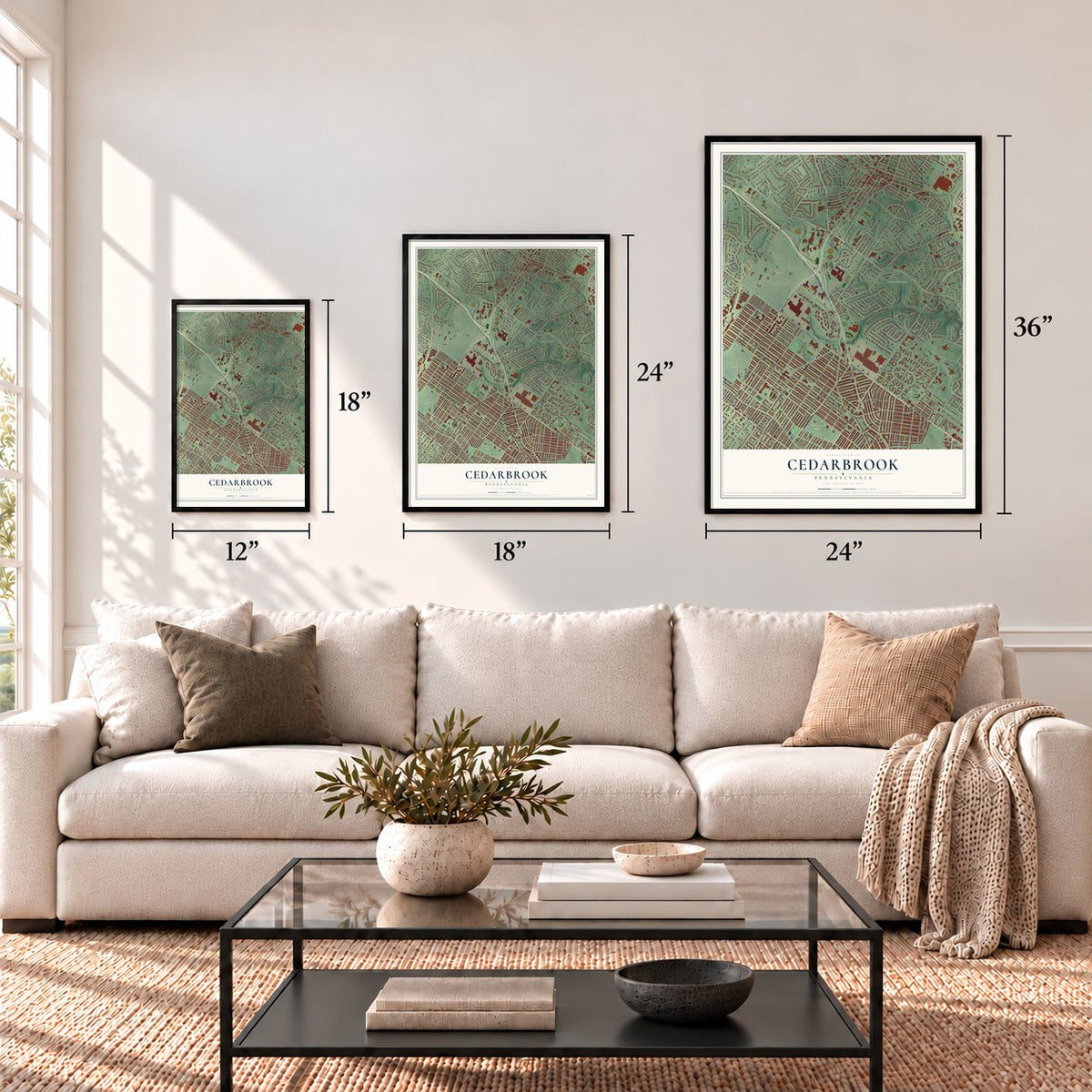
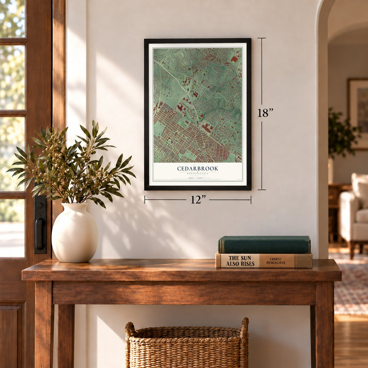
12" x 18" Archival Matte Print
A Map of Home. A Work of Art.
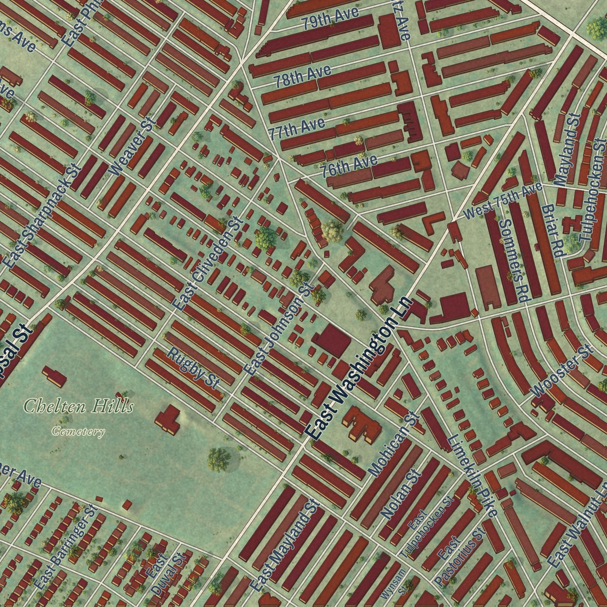
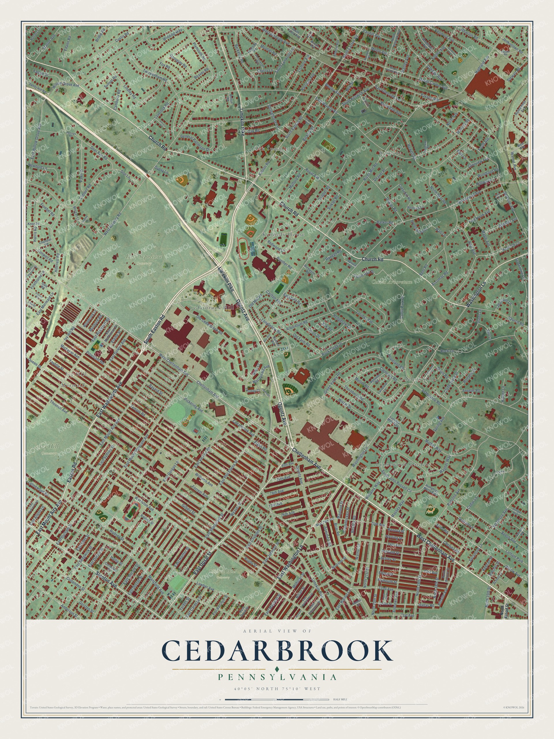
Explore Cedarbrook, Pennsylvania from a whole new perspective. Created using aerial imagery and detailed geographic data, this map captures Cedarbrook building by building, with labeled streets, familiar landmarks, and shaded topographical relief that highlights the natural contours of the landscape.
Combining modern data with the timeless character of a vintage atlas, this map is just as interesting up close as it is beautiful on the wall. Whether you grew up in Cedarbrook, spent memorable years there, or call it home today, this unique map is a great way to celebrate a place that means something to you. Zoom in on the preview to look for your street, and then order a print to put your memories on the wall.
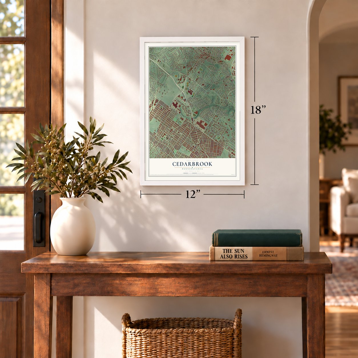
Three ways to hang it
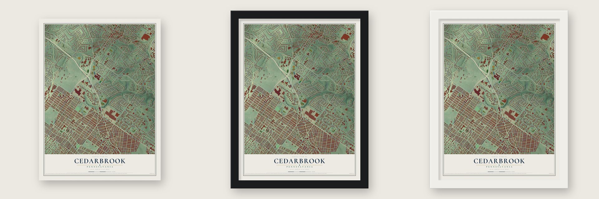
Unframed archival matte, a black wood frame or a white wood frame.
Up close
Geography Worth Displaying
This map was created using accurate cartographic data and authoritative geographic sources, including the U.S. Geological Survey and the Census Bureau. The map brings together terrain, waterways, roads, and building detail. The majority of the streets are labeled, houses are accurately depicted, and the topography is derived from government sources. Combining local data with carefully composed color and shading leads to this beautifully detailed Cedarbrook artwork for your wall.
Rather than simply showing street outlines, we’ve included as many of the street names as we could reasonably fit on the map while keeping their names legible. Zoom in on the high resolution preview to see exactly what’s on the map. We truly set out to create a statement piece for anyone who loves Cedarbrook. So whether it’s for you, or a gift for someone you love, we hope this map of Cedarbrook brings back fond memories.
Read the story behind this map: Detailed Map of Cedarbrook, Pennsylvania.
Find your street
Names on the Cedarbrook map
Every name below is printed on this map. Look for your street, your school, the park where you played, or the pond down the road.
Places and landmarks14
- Chelten Hills Cemetery
- Curtis Arboretum
- Holy Sepulchre Cemetery
- Ivy Hill Cemetery
- Russel Park
- Wyncote
- Chelten Hills
- Oak Summit
- Mermaid
- Kennedy House
- Cedarbrook Hill
- Lynnewood Gardens
Show all 14 places
- Ivy Hill
- Latham Park
Streets and roads299
- Cheltenham Avenue
- West Cheltenham Avenue
- South Easton Road
- East Wadsworth Avenue
- Ogontz Avenue
- Limekiln Pike
- Easton Road
- Church Road
- East Upsal Street
- Stenton Avenue
- East Washington Lane
- Washington Lane
- East Mount Airy Avenue
- Rock Creek Drive
- Dallas Road
- Clyde Stone Drive
- Pittville Avenue
- East Glenside Avenue
- Greenwood Avenue
- Thouron Avenue
- West Waverly Road
- Forrest Avenue
- Fayette Street
- Rices Mill Road
- Woolston Avenue
- Williams Avenue
- East Mount Pleasant Avenue
- East Vernon Road
- Rugby Street
- Michener Avenue
Show all 299 streets
- Gilbert Street
- East Sedgwick Street
- Temple Road
- East Phil Ellena Street
- Lowber Avenue
- Pickering Avenue
- Mansfield Avenue
- East Gorgas Lane
- East Willow Grove Avenue
- Ashbourne Road
- Glenside Avenue
- Harrison Avenue
- East Durham Street
- Mount Carmel Avenue
- Rodney Street
- Provident Road
- Cedar Lane
- Hewett Road
- Serpentine Lane
- East Sharpnack Street
- Bickley Road
- Lindley Road
- Waverly Road
- East Roumfort Road
- 74th Avenue
- Bayard Street
- Arboretum Road
- Penrose Avenue
- Crittenden Street
- Gribbel Road
- East Waverly Road
- 72nd Avenue
- East Dorset Street
- Twickenham Road
- East Sydney Street
- Spring Avenue
- Cobden Road
- Curtis Park Drive
- Cedarbrook Avenue
- Willow Avenue
- Ivy Hill Road
- Heacock Lane
- Old Cedarbrook Road
- Sycamore Avenue
- Sycamore Lane
- Panther Road
- Royal Avenue
- North 20th Street
- Paxson Avenue
- East Gowen Avenue
- Laverock Road
- Kenmore Avenue
- East Cliveden Street
- Lismore Avenue
- Andrews Avenue
- Old Farm Road
- Beech Avenue
- Walnut Lane
- West Glenside Avenue
- East Hortter Street
- Macdonald Avenue
- Hillcrest Road
- Bent Road
- Mather Way
- East Slocum Street
- Highland Avenue
- Oakdale Avenue
- 73rd Avenue
- South Keswick Avenue
- North 21st Street
- North 19th Street
- 75th Avenue
- Clements Road
- Plymouth Road
- Edgley Avenue
- Green Valley Road
- Georgian Road
- Wharton Road
- Redwood Lane
- Maple Avenue
- East Johnson Street
- Dixon Road
- Custis Road
- Montier Road
- 78th Avenue
- Elston Street
- 77th Avenue
- Briar Road
- Plymouth Street
- Anderson Street
- Hopeland Road
- Wistar Drive
- Ashley Street
- South John Russell Circle
- Crescent Road
- Berkeley Road
- South Lynwood Avenue
- Beverly Road
- General Patterson Drive
- Sommers Road
- Barker Road
- Deer Run Road
- Mohican Street
- Winding Way
- Mellon Road
- Harris Road
- Penfield Street
- North 18th Street
- Deaver Road
- East Mermaid Lane
- Rock Lane
- Menlo Avenue
- 76th Avenue
- Stanley Avenue
- Fernbrook Avenue
- Thornberry Road
- 79th Avenue
- Fawn Drive
- Longfellow Road
- Curtis Drive
- Green Lane
- Brookdale Avenue
- Graham Lane
- Woodland Road
- Tulpehocken Street
- Hedgerow Lane
- Glenview Avenue
- Bridle Road
- Jenkintown Road
- North Bent Road
- Fairhill Avenue
- East Mayland Street
- Walnut Avenue
- 71st Avenue
- Accomac Road
- Station Avenue
- Yerkes Street
- Lorimer Avenue
- East Ellet Street
- Mulford Road
- Sinkler Road
- Edann Road
- Newbold Lane
- Lynnewood Road
- Fox Road
- East Cardeza Street
- Willow Grove Avenue
- Laburnum Lane
- Kent Avenue
- North Easton Road
- Springhouse Lane
- East Walnut Lane
- New Street
- Froebel Road
- Webster Avenue
- Weaver Street
- Chelsea Road
- Curtis Hall Drive
- Carlton Avenue
- Erlen Road
- North 15th Street
- Wagner Way
- Oak Road
- Mayland Street
- Doe Lane
- Hilltop Lane
- Falcon Drive
- Massey Way
- Williams Way
- Walt Lane
- Beaver Road
- Sunset Road
- Firethorne Lane
- Camberly Road
- East Durard Street
- Greenwood Place
- Ross Court
- East Allens Lane
- Old Mill Road
- Wesley Avenue
- Conwell Road
- Ronaele Drive
- Cherry Lane
- Hidden Lane
- Nolan Street
- Salisbury Road
- Randall Road
- Butcher Street
- Keenan Street
- Dell Lane
- Gorsten Street
- Wooster Street
- Murdoch Road
- Bok Road
- Elaine Street
- Deaver Place
- Queen Street
- Sterling Street
- Renova Street
- Argus Road
- Anselm Road
- Park Lane
- North Avenue
- Stewart Road
- South Avenue
- Hollis Street
- Gypsy Lane
- North Broad Street
- Juniper Avenue
- Radcliffe Road
- North Keswick Avenue
- Woodlawn Avenue
- Morgan Lane
- West Avenue
- Lucretia Mott Way
- Runnymede Avenue
- Sandy Hill Road
- Baldwin Street
- Roberts Avenue
- Humphrey Merry Way
- East Barringer Street
- Chandler Road
- Knox Road
- North Bouvier Street
- Summit Avenue
- School Lane
- Vernon Road
- Bennett Road
- Hunters Lane
- East Pastorius Street
- Twomey Court
- West 75th Avenue
- Woodbrook Lane
- Larzelere Lane
- East McPherson Street
- Dallas Street
- Gate Road
- East Duval Street
- South Tyson Avenue
- Hemlock Lane
- Ricewynn Road
- Laurel Lane
- 80th Avenue
- Wilson Avenue
- Cornelius Street
- Spruce Lane
- Homer Street
- Bolton Road
- East Tulpehocken Street
- Woodlyn Road
- Baeder Road
- Buttonwood Way
- Poe Avenue
- Parkside Lane
- Toxony Avenue
- East Pleasant Street
- Huber Street
- Ridgeway Road
- Cliff Terrace
- Deerrun Road
- Azalea Lane
- Caversham Drive
- Clubhouse Lane
- Orchard Way
- North Uber Street
- Glenwood Avenue
- Patricia Drive
- Wynsam Street
- Virginia Lane
Names are listed as they appear on the printed map. Zoom into the product photos to find them.
Keep exploring Pennsylvania
Cedarbrook is one of 3,725 Pennsylvania towns we've mapped. Every dot on the map is a print of its own.
The search covers every state, Pennsylvania first.
Near Cedarbrook
Order 2 or more town maps and save 10%. Shown in the size and finish you picked above, so they hang as a set.
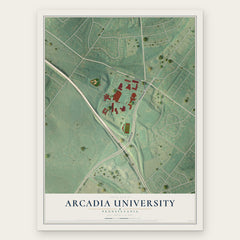
- Arcadia University 12" x 18" / Archival Matte Print $39.99
- Wyncote 12" x 18" / Archival Matte Print $39.99
- Cedarbrook 12" x 18" / Archival Matte Print $39.99


More maps nearby: Cheltenham, West Oak Lane, Glenside, Elkins Park and Wyndmoor.
The art of mapping a place
How This Map Was Made
Real places. Remarkable detail. Discover the layers that turn geographic data into a map of home.

The view from above
Aerial imagery reveals the character of the land: woodland, open fields, and the patterns of a place.

The shape of the land
Elevation data brings hills, valleys, and subtle changes in the landscape into view.

The details of home
Roads, waterways, and building footprints come together to make the map feel unmistakably local.

Geography becomes art
Considered color, shading, and typography bring the layers together in a map made for your wall.


Process illustrated with Mendon, Massachusetts. Aerial imagery: USDA NAIP. Terrain: USGS 3D Elevation Program. Map details and finished artwork: KNOWOL.
The Details
About This Print
Choose an archival matte print, or a black or white Ayous wood frame. The archival matte print is unframed.
Select your size and finish above to see the matching product image and price.
Materials & Craftsmanship
A contemporary map with the character of a classic atlas, printed on archival matte paper. Optional frames are made from Ayous wood.
Your printed map does not include the watermark shown in the full-map preview.
Shipping & Delivery
Free shipping within the United States. Every print is made to order in the USA.
Buying a gift? Add a note in your cart and we'll include it. We never put prices in the package.
Prints ship within 2 to 3 business days. Allow 7 to 10 days total from ordering for delivery. Timing may vary during holidays or periods of high order volume.
Read our shipping policy.
Returns and damaged prints
Each print is made to order. Change-of-mind refunds are not available after production.
If your print arrives damaged, misprinted or incorrect, contact support@knowol.com within 30 days of receiving it. Include your order number, photos and a description of the issue.
Read our full refund and replacement policy. For questions about your order, email support@knowol.com.