
Search for another town
Free U.S. delivery 7 to 10 days after you order
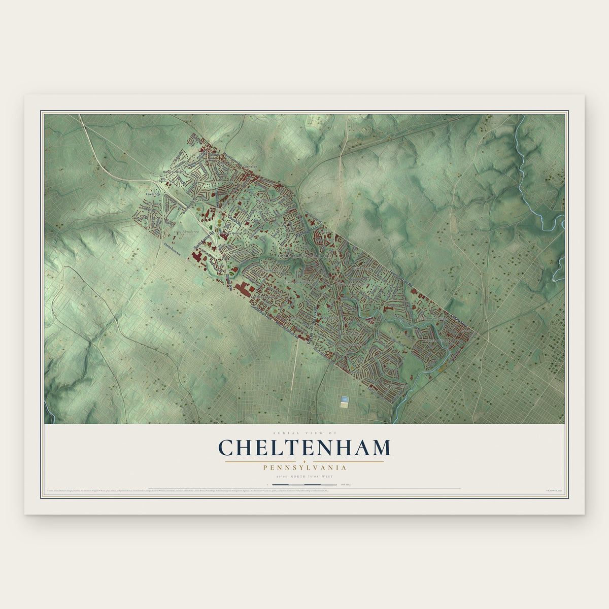
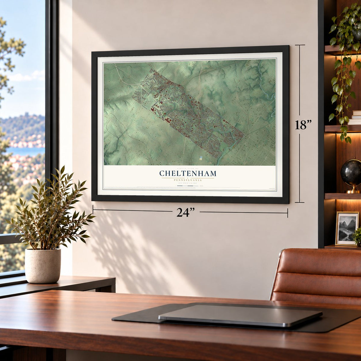
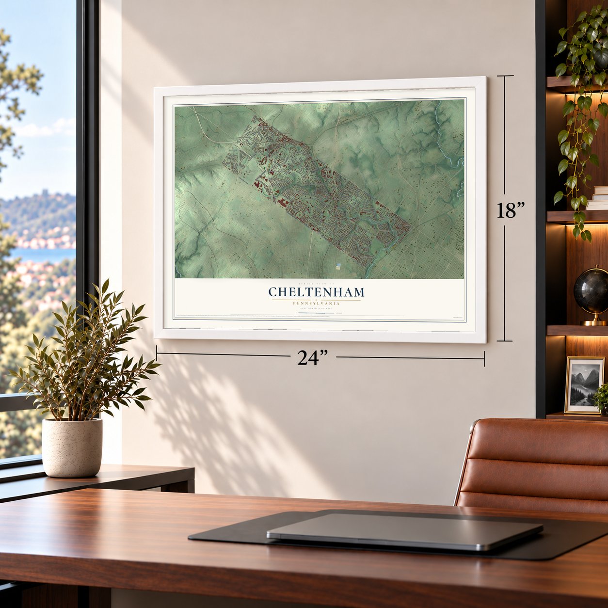
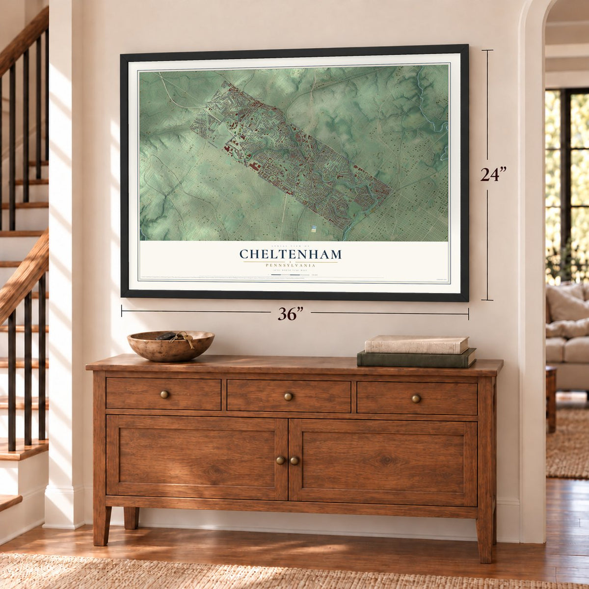
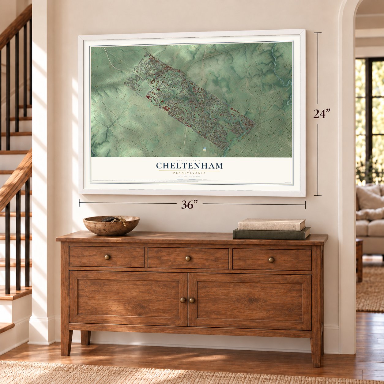
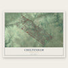
Cheltenham, Pennsylvania Map Art
Building by building, with labeled streets and shaded relief.
12" x 18" Archival Matte Print
A Map of Home. A Work of Art.
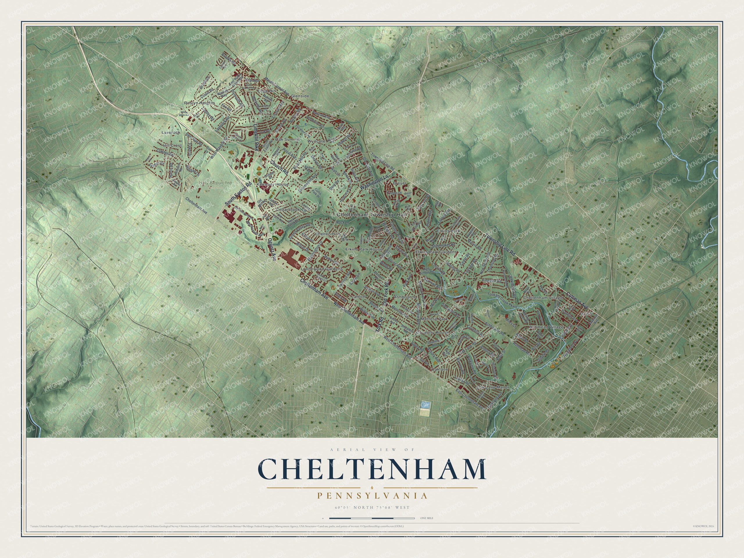
Explore Cheltenham, Pennsylvania from a whole new perspective. Created using aerial imagery and detailed geographic data, this map captures Cheltenham building by building, with labeled streets, familiar landmarks, and shaded topographical relief that highlights the natural contours of the landscape.
Combining modern data with the timeless character of a vintage atlas, this map is just as interesting up close as it is beautiful on the wall. Whether you grew up in Cheltenham, spent memorable years there, or call it home today, this unique map is a great way to celebrate a place that means something to you. Zoom in on the preview to look for your street, and then order a print to put your memories on the wall.
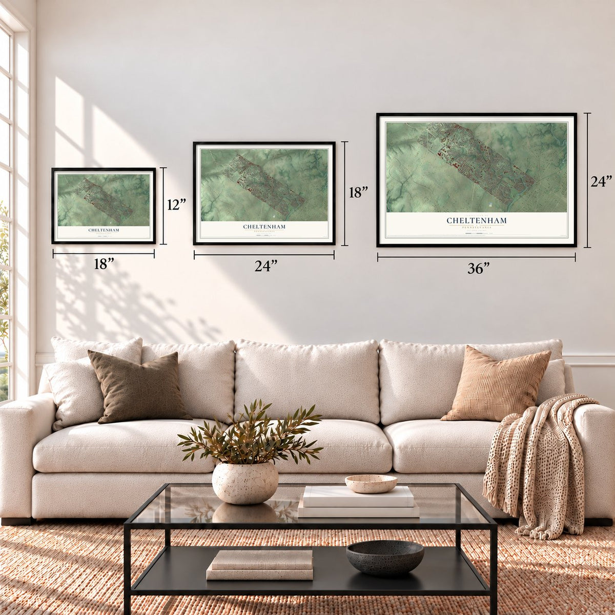
Three ways to hang it
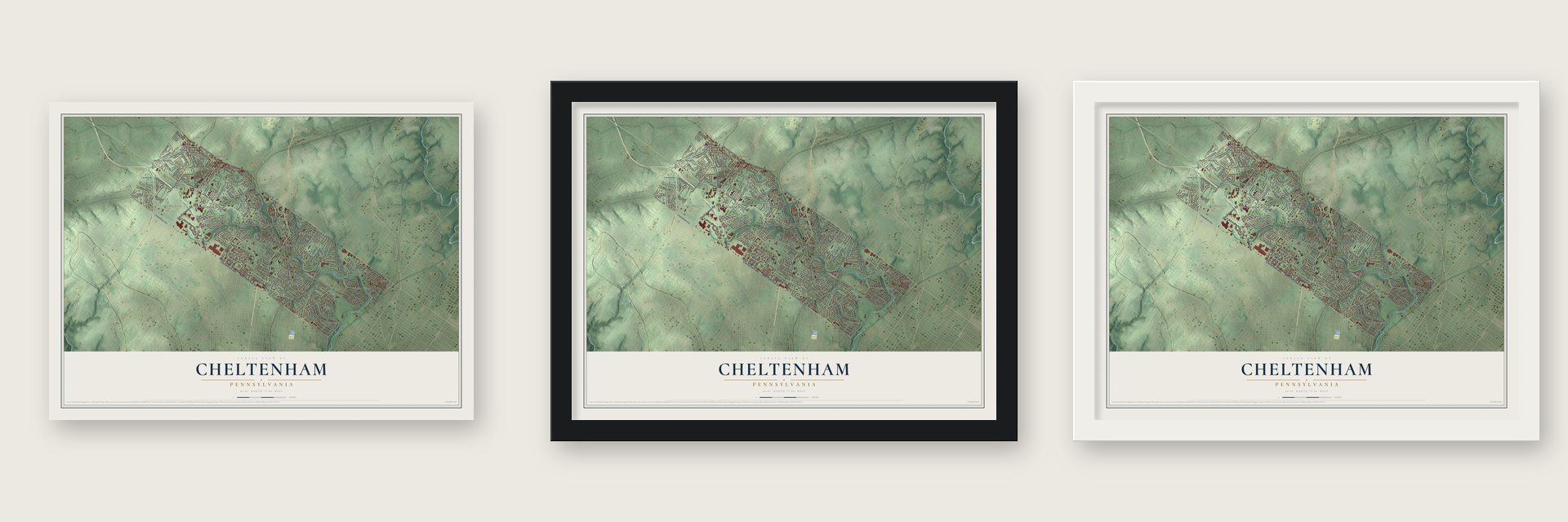
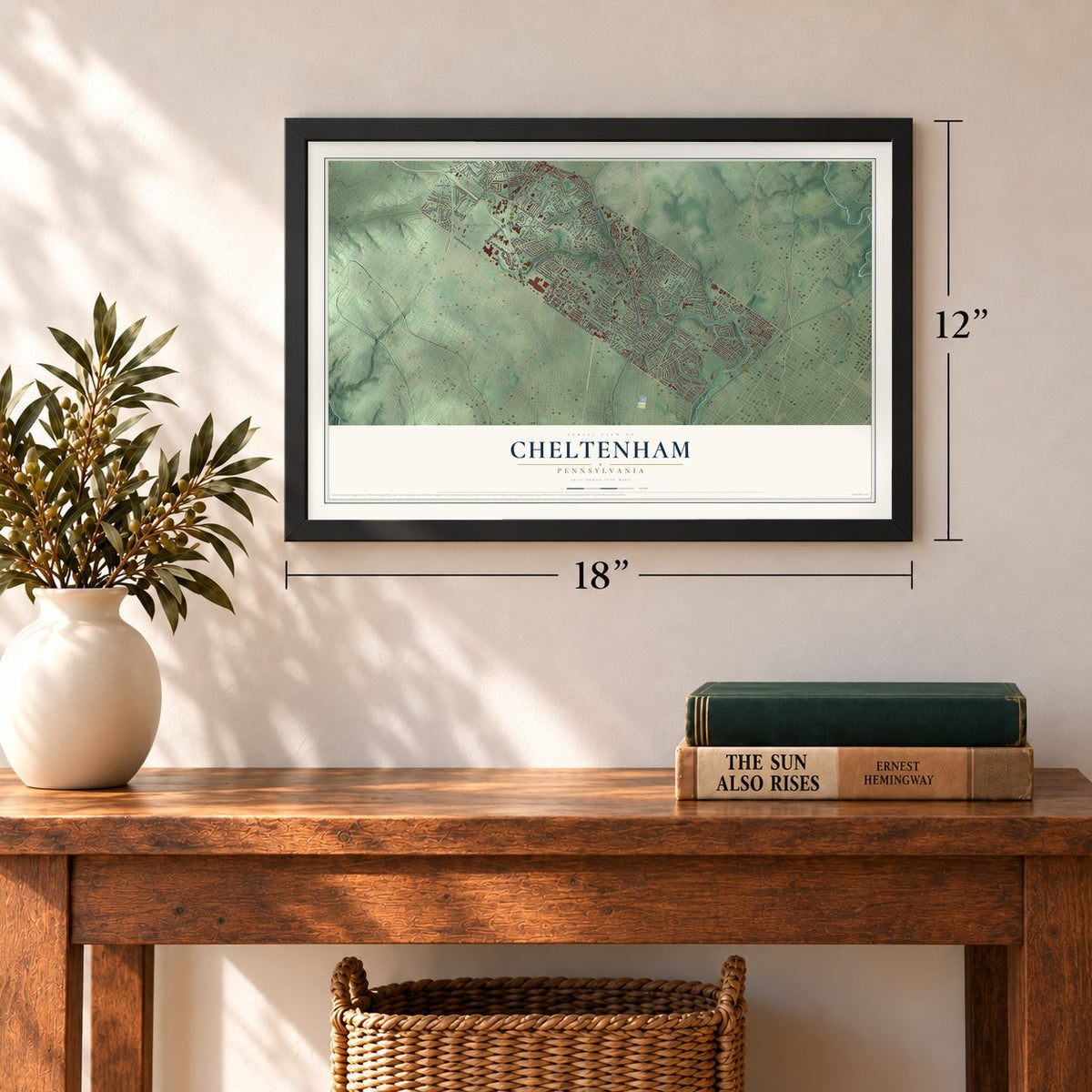
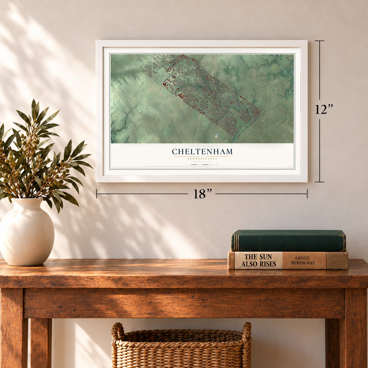
Unframed archival matte, a black wood frame or a white wood frame.
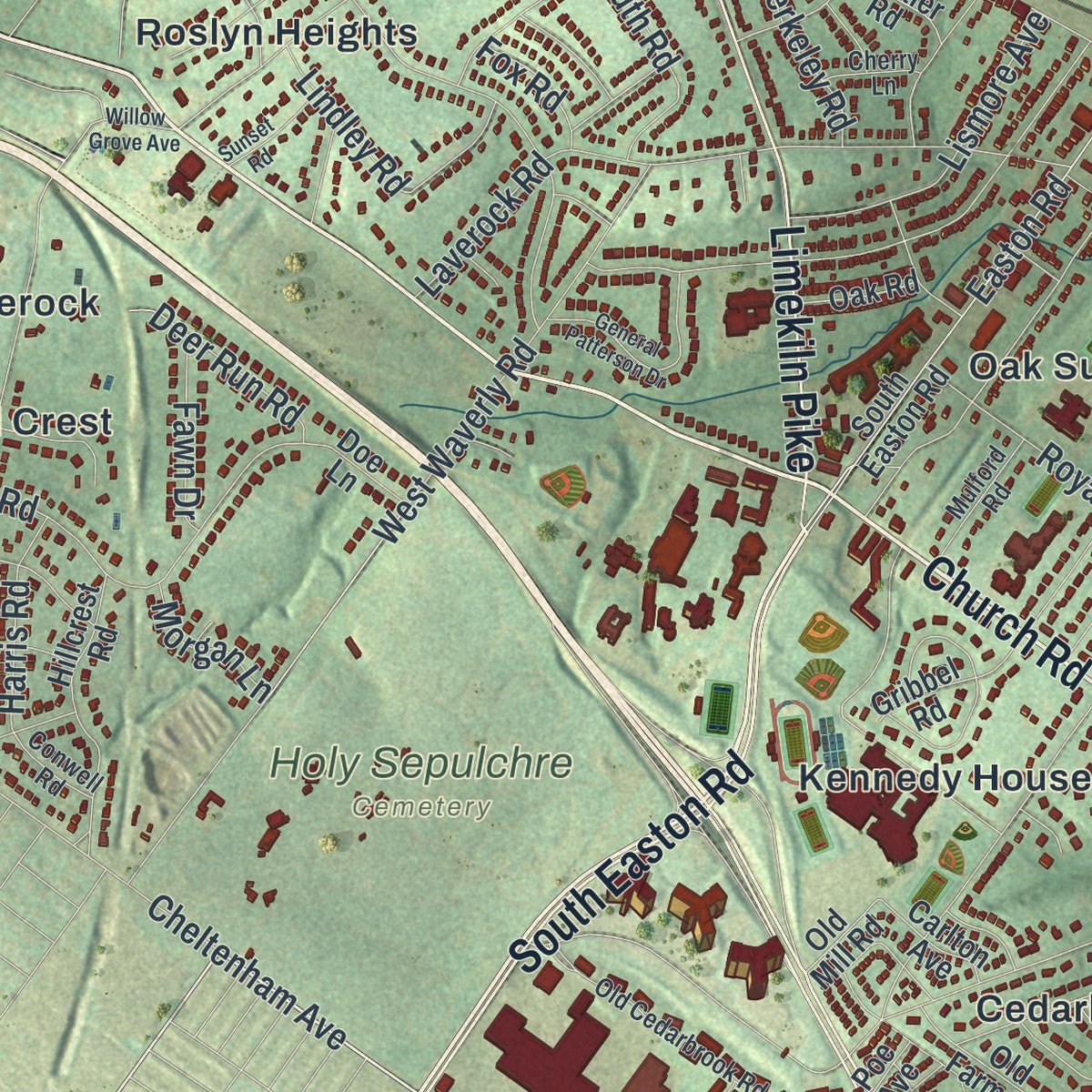
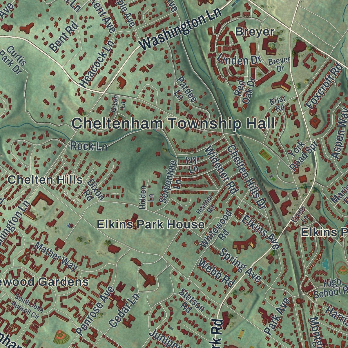
Up close
Geography Worth Displaying
This map was created using accurate cartographic data and authoritative geographic sources, including the U.S. Geological Survey and the Census Bureau. The map brings together terrain, waterways, roads, and building detail. The majority of the streets are labeled, houses are accurately depicted, and the topography is derived from government sources. Combining local data with carefully composed color and shading leads to this beautifully detailed Cheltenham artwork for your wall.
Rather than simply showing street outlines, we’ve included as many of the street names as we could reasonably fit on the map while keeping their names legible. Zoom in on the high resolution preview to see exactly what’s on the map. We truly set out to create a statement piece for anyone who loves Cheltenham. So whether it’s for you, or a gift for someone you love, we hope this map of Cheltenham brings back fond memories.
Read the story behind this map of Cheltenham, Pennsylvania from 2026.
Find your street
Names on the Cheltenham map
Every name below is printed on this map. Look for your street, your school, the park where you played, or the pond down the road.
Places and landmarks26
- Cheltenham Township Hall
- Holy Sepulchre Cemetery
- Ashbourne
- Ashmead Village
- Breyer
- Cedarbrook
- Chelten Hills
- Cheltenham Village
- Coventry House
- Edge Hill
- Elkins Park
- Elkins Park Gardens
Show all 26 places
- Elkins Park House
- Glenside
- Hill Crest
- Kennedy House
- Lamott
- Laverock
- Lynnewood Gardens
- Melrose Park
- Oak Lane Manor
- Oak Summit
- Oaklane
- Roslyn Heights
- Ryers
- Wyncote
Streets and roads187
- Church Road
- Cheltenham Avenue
- Washington Lane
- South Easton Road
- Cottman Avenue
- Limekiln Pike
- Old York Road
- York Road
- Ogontz Avenue
- Township Line Road
- Tookany Creek Parkway
- West Cheltenham Avenue
- East Cheltenham Avenue
- Easton Road
- Central Avenue
- Ashbourne Road
- Greenwood Avenue
- New Second Street
- Spring Avenue
- West Waverly Road
- Harrison Avenue
- Rices Mill Road
- Jenkintown Road
- Chelten Hills Drive
- Mill Road
- Glenside Avenue
- Melrose Avenue
- Valley Road
- Oak Lane Road
- Front Street
Show all 187 streets
- Parkview Road
- Cedar Lane
- Elkins Avenue
- Montgomery Avenue
- Rowland Avenue
- Cedar Road
- Hewett Road
- Mountain Avenue
- Cobden Road
- Marvin Road
- Bickley Road
- Juniper Avenue
- Lanfair Road
- Lindley Road
- Fairview Road
- Ashmead Road
- Willow Avenue
- Penrose Avenue
- Beech Avenue
- Asbury Avenue
- Mount Carmel Avenue
- Park Avenue
- Custis Road
- Heacock Lane
- Shoemaker Road
- Royal Avenue
- Waring Road
- Paxson Avenue
- Rock Lane
- Linden Drive
- Laverock Road
- Forrest Avenue
- Franklin Avenue
- Lismore Avenue
- Barclay Road
- Boyer Road
- Bridle Road
- Macdonald Avenue
- Bent Road
- Glenwood Road
- Widener Road
- Hilldale Road
- Plymouth Road
- Green Valley Road
- Thomson Road
- Miles Court
- Brooke Road
- Woodland Avenue
- Kingston Road
- Wistar Drive
- Andrea Road
- Berkeley Road
- Deer Run Road
- Fenton Road
- Harris Road
- Coventry Road
- Barclay Circle
- Deaver Road
- Gilbert Road
- Fawn Drive
- Foxcroft Road
- Aspen Way
- Morgan Lane
- Fox Road
- East Avenue
- Kent Avenue
- Webb Road
- Erlen Road
- Walt Lane
- Pitt Road
- Hasbrook Avenue
- East Willow Grove Avenue
- High School Road
- Serpentine Lane
- Coventry Avenue
- Gribbel Road
- Curtis Park Drive
- Rock Creek Drive
- Whitewood Road
- Old Farm Road
- Hillcrest Road
- Mather Way
- Hammond Road
- Sharpless Road
- Winding Way
- Maple Avenue
- Dixon Road
- Montier Road
- Yew Road
- Barker Road
- Mellon Road
- Pardee Lane
- Brookdale Avenue
- Ansley Avenue
- Rolling Green Road
- Woodland Road
- Beryl Road
- Oak Hill Drive
- Ivy Lane
- North Bent Road
- Stetson Road
- Davis Road
- Lorimer Avenue
- Marion Road
- Red Oak Drive
- Crest Avenue
- Roberts Road
- Haines Road
- Carlton Avenue
- Carter Lane
- Oak Road
- Doe Lane
- York Road Spr
- Glen Road
- Old Mill Road
- High Avenue
- North Avenue
- Poe Avenue
- Cadwalader Avenue
- Waverly Road
- East Waverly Road
- Old Cedarbrook Road
- Boncouer Road
- Myrtle Avenue
- Breyer Drive
- Ivinetta Road
- Prospect Avenue
- Elm Avenue
- Lycoming Avenue
- Meadow Lane
- Carroll Avenue
- Briar Road
- Mulford Road
- Ross Court
- Conwell Road
- Cherry Lane
- Hidden Lane
- Short Lane
- West Laurel Avenue
- West Glenside Avenue
- Johns Road
- Milltown Circle
- Brookview Place
- Heather Road
- Surrey Road
- South John Russell Circle
- Crescent Road
- General Patterson Drive
- Manor Road
- Pleasant Hill Road
- Green Lane
- Glenview Avenue
- Willow Grove Avenue
- Sunset Road
- Deaver Place
- Chattin Road
- Ervein Lane
Names are listed as they appear on the printed map. Zoom into the product photos to find them.
About Cheltenham, Pennsylvania
Cheltenham is a township of 37,452 people in Montgomery County, laid out as a long, narrow strip with Cheltenham Avenue on its lower edge. Its neighborhoods include Elkins Park, Wyncote, Glenside and Melrose Park. A state act of April 8, 1850, made the township its own election district, and voters were sent to cast their ballots at Albert Magargee's tavern in Shoemakertown.
During the Civil War, the ground now called Lamott became Camp William Penn, the one camp in Pennsylvania that trained African American soldiers. The first recruits arrived on June 26, 1863, and more than 10,000 men went through it in 11 regiments of U.S. Colored Troops, making it the biggest of the 18 camps of its kind across the country. Many of its soldiers saw battle in Virginia, South Carolina and Florida, and the camp shut down on August 14, 1865. Soon after the war, a village first known as Camptown was laid out on its grounds.
- Wright's only synagogueBeth Sholom Synagogue, on Old York Road near the Township Hall, was completed in 1959. Frank Lloyd Wright shaped its design together with Rabbi Mortimer J. Cohen, and it is the one synagogue Wright designed in his career.
- Home of Lucretia MottLucretia Mott, the Quaker who fought slavery and worked for women's rights, lived beside Old York Road, close to Cheltenham Avenue. A state historical marker there remembers her home.
Keep exploring Pennsylvania
Cheltenham is one of 3,725 Pennsylvania towns we've mapped. Every dot on the map is a print of its own.
The search covers every state, Pennsylvania first.
Near Cheltenham
Order 2 or more town maps and save 10%. Shown in the size and finish you picked above, so they hang as a set.
- Elkins Park 12" x 18" / Archival Matte Print $39.99
- Wyncote 12" x 18" / Archival Matte Print $39.99
- Melrose Park 12" x 18" / Archival Matte Print $39.99
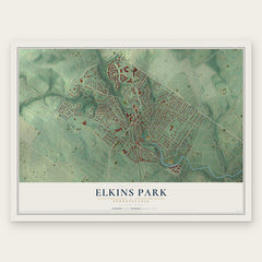
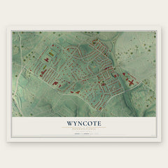
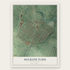
More maps nearby: Cedarbrook, Jenkintown, West Oak Lane, McKinley and East Oak Lane.
The art of mapping a place
How This Map Was Made
Real places. Remarkable detail. Discover the layers that turn geographic data into a map of home.

The view from above
Aerial imagery reveals the character of the land: woodland, open fields, and the patterns of a place.

The shape of the land
Elevation data brings hills, valleys, and subtle changes in the landscape into view.

The details of home
Roads, waterways, and building footprints come together to make the map feel unmistakably local.

Geography becomes art
Considered color, shading, and typography bring the layers together in a map made for your wall.


Process illustrated with Mendon, Massachusetts. Aerial imagery: USDA NAIP. Terrain: USGS 3D Elevation Program. Map details and finished artwork: KNOWOL.
The Details
About This Print
Choose an archival matte print, or a black or white Ayous wood frame. The archival matte print is unframed.
Select your size and finish above to see the matching product image and price.
Materials & Craftsmanship
A contemporary map with the character of a classic atlas, printed on archival matte paper. Optional frames are made from Ayous wood.
Your printed map does not include the watermark shown in the full-map preview.
Shipping & Delivery
Free shipping within the United States. Every print is made to order in the USA.
Buying a gift? Add a note in your cart and we'll include it. We never put prices in the package.
Prints ship within 2 to 3 business days. Allow 7 to 10 days total from ordering for delivery. Timing may vary during holidays or periods of high order volume.
Read our shipping policy.
Returns and damaged prints
Each print is made to order. Change-of-mind refunds are not available after production.
If your print arrives damaged, misprinted or incorrect, contact support@knowol.com within 30 days of receiving it. Include your order number, photos and a description of the issue.
Read our full refund and replacement policy. For questions about your order, email support@knowol.com.