
Search for another town
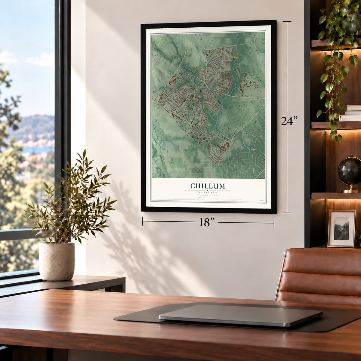
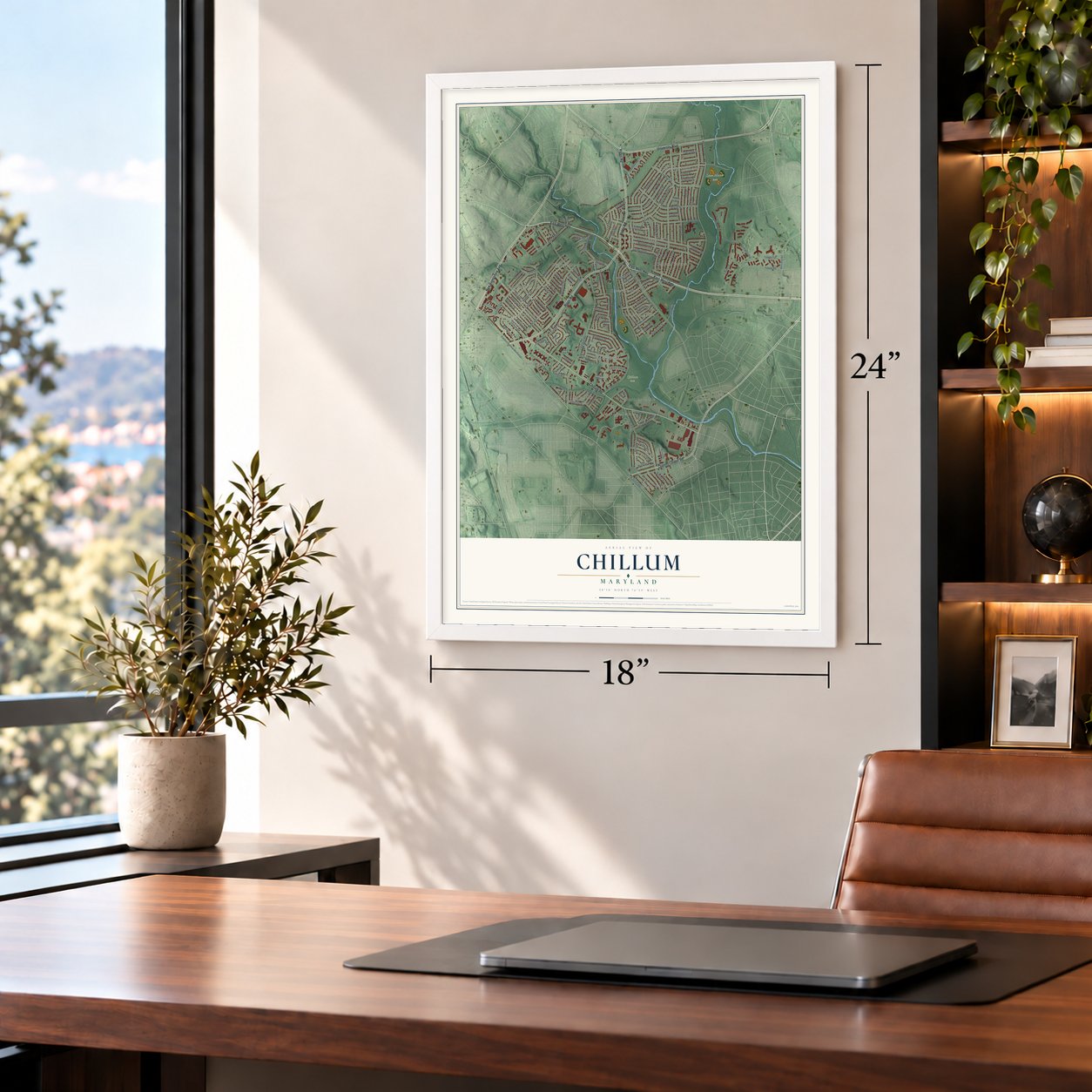
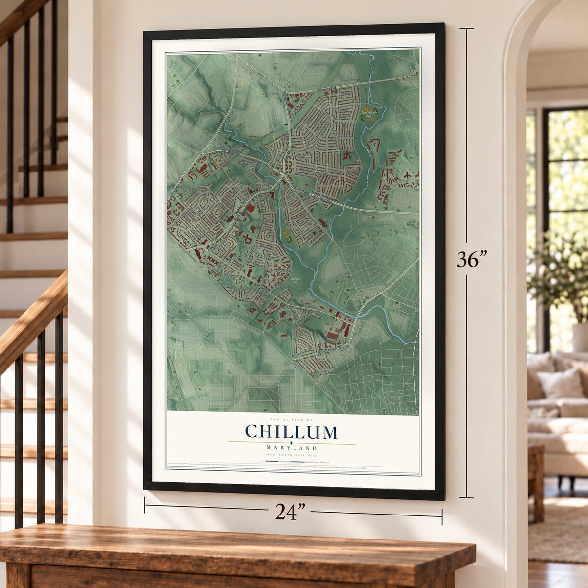
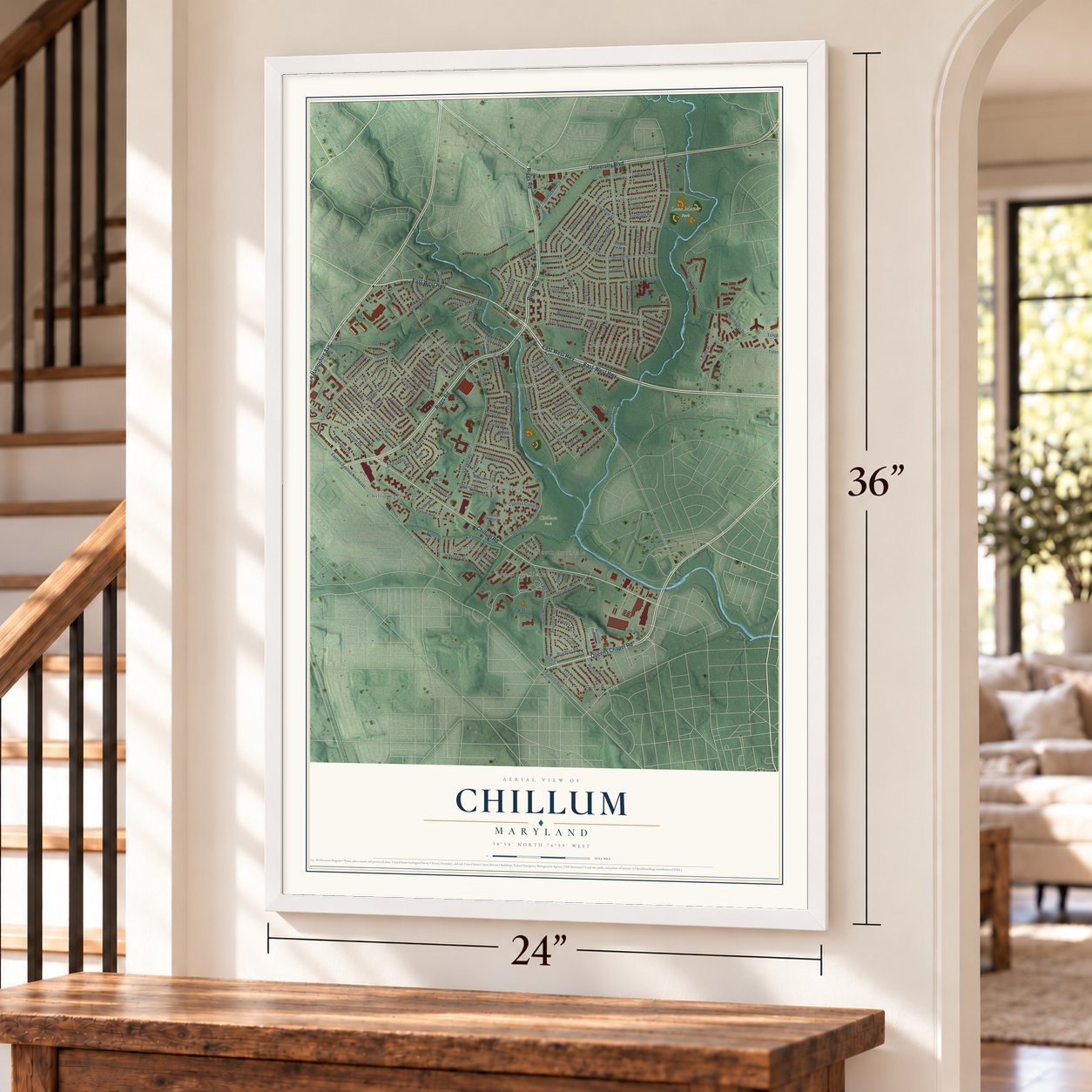
Free U.S. delivery 7 to 10 days after you order
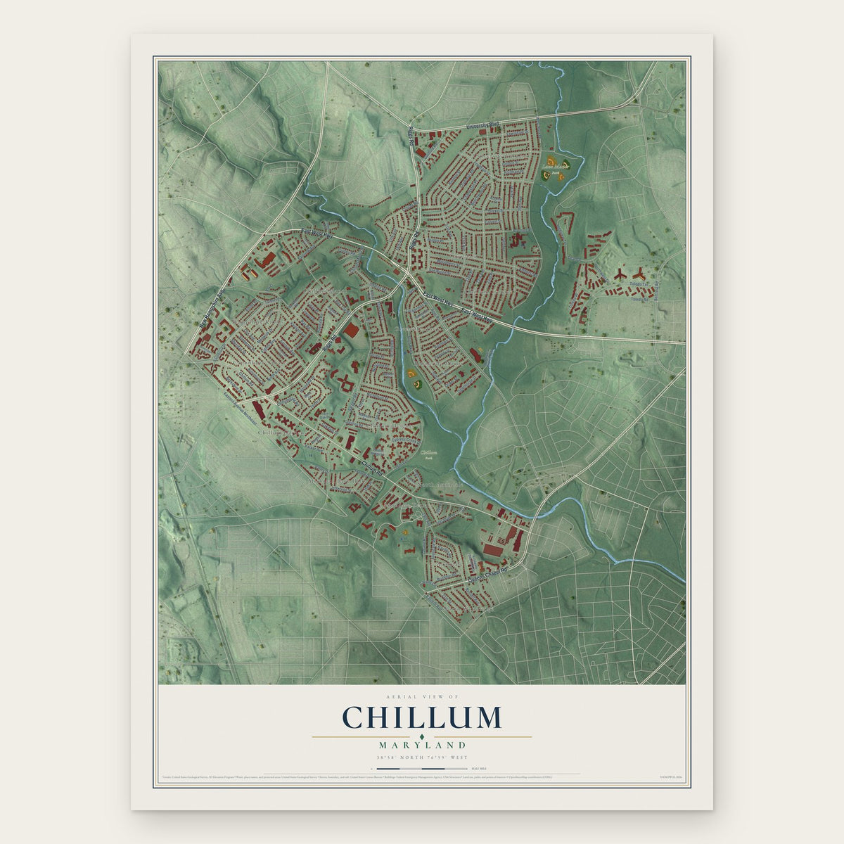
Chillum, Maryland Map Art
Building by building, with labeled streets and shaded relief.
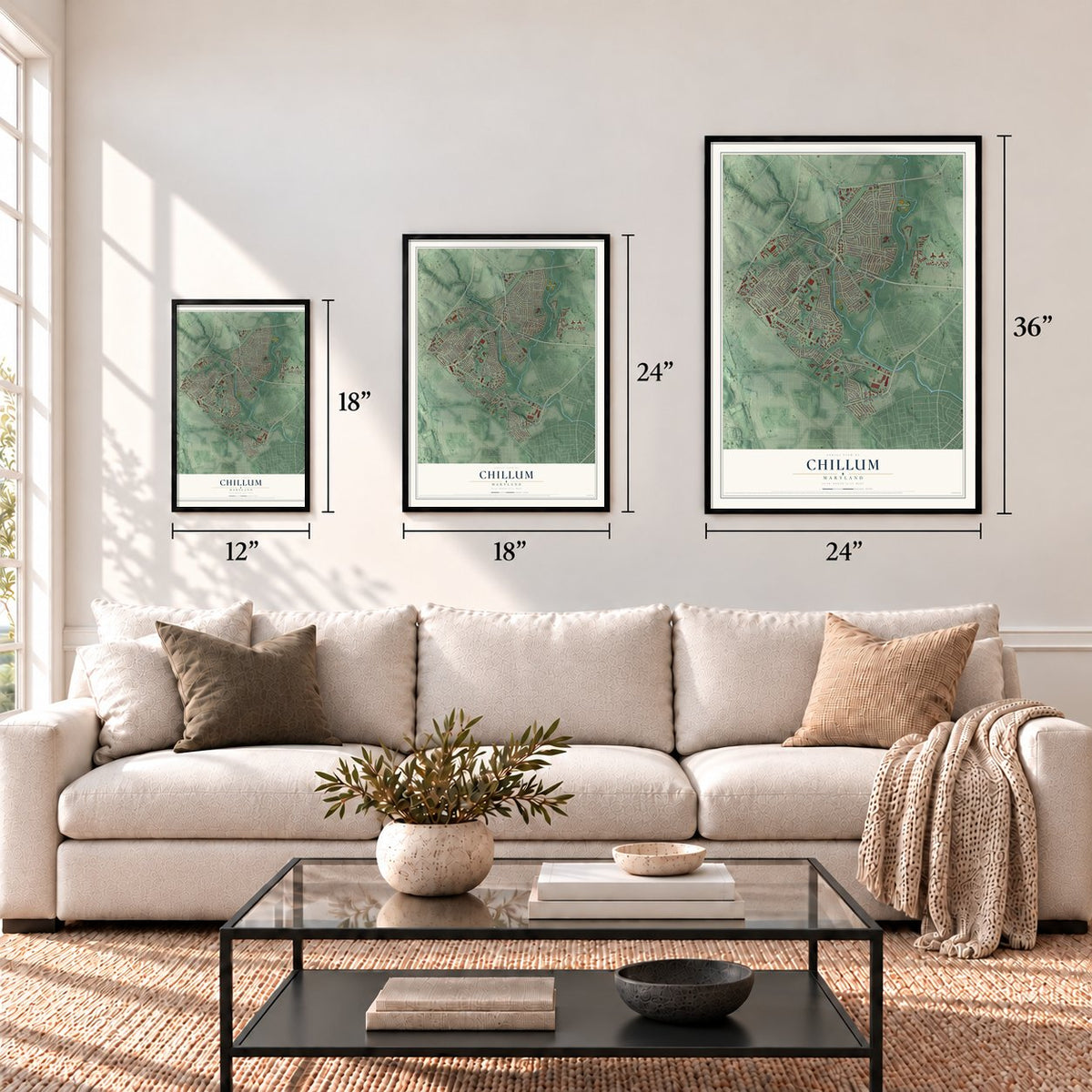
12" x 18" Archival Matte Print
A Map of Home. A Work of Art.
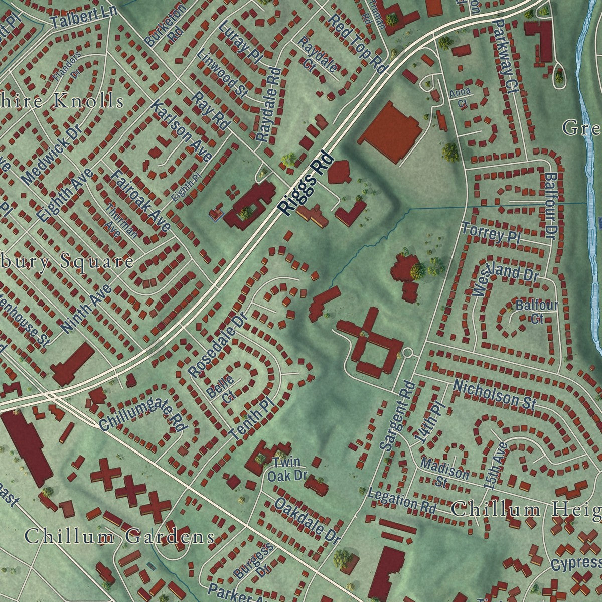
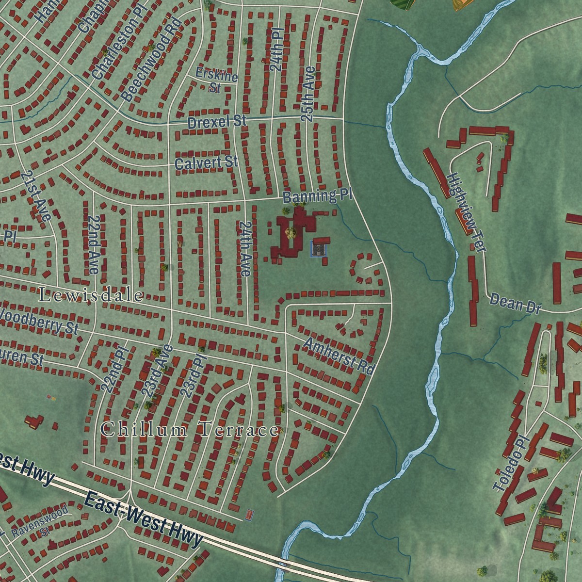
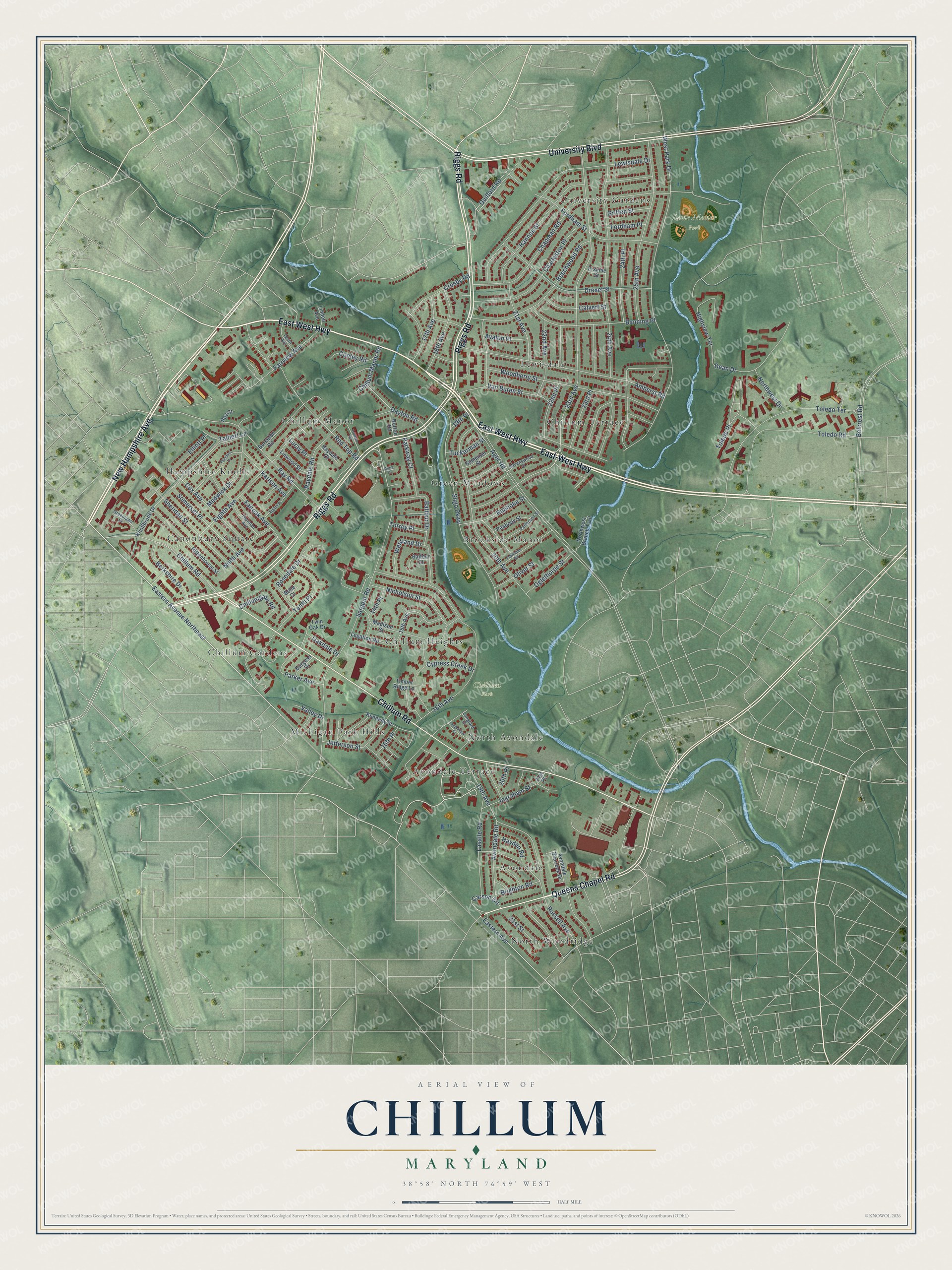
Explore Chillum, Maryland from a whole new perspective. Created using aerial imagery and detailed geographic data, this map captures Chillum building by building, with labeled streets, familiar landmarks, and shaded topographical relief that highlights the natural contours of the landscape.
Combining modern data with the timeless character of a vintage atlas, this map is just as interesting up close as it is beautiful on the wall. Whether you grew up in Chillum, spent memorable years there, or call it home today, this unique map is a great way to celebrate a place that means something to you. Zoom in on the preview to look for your street, and then order a print to put your memories on the wall.
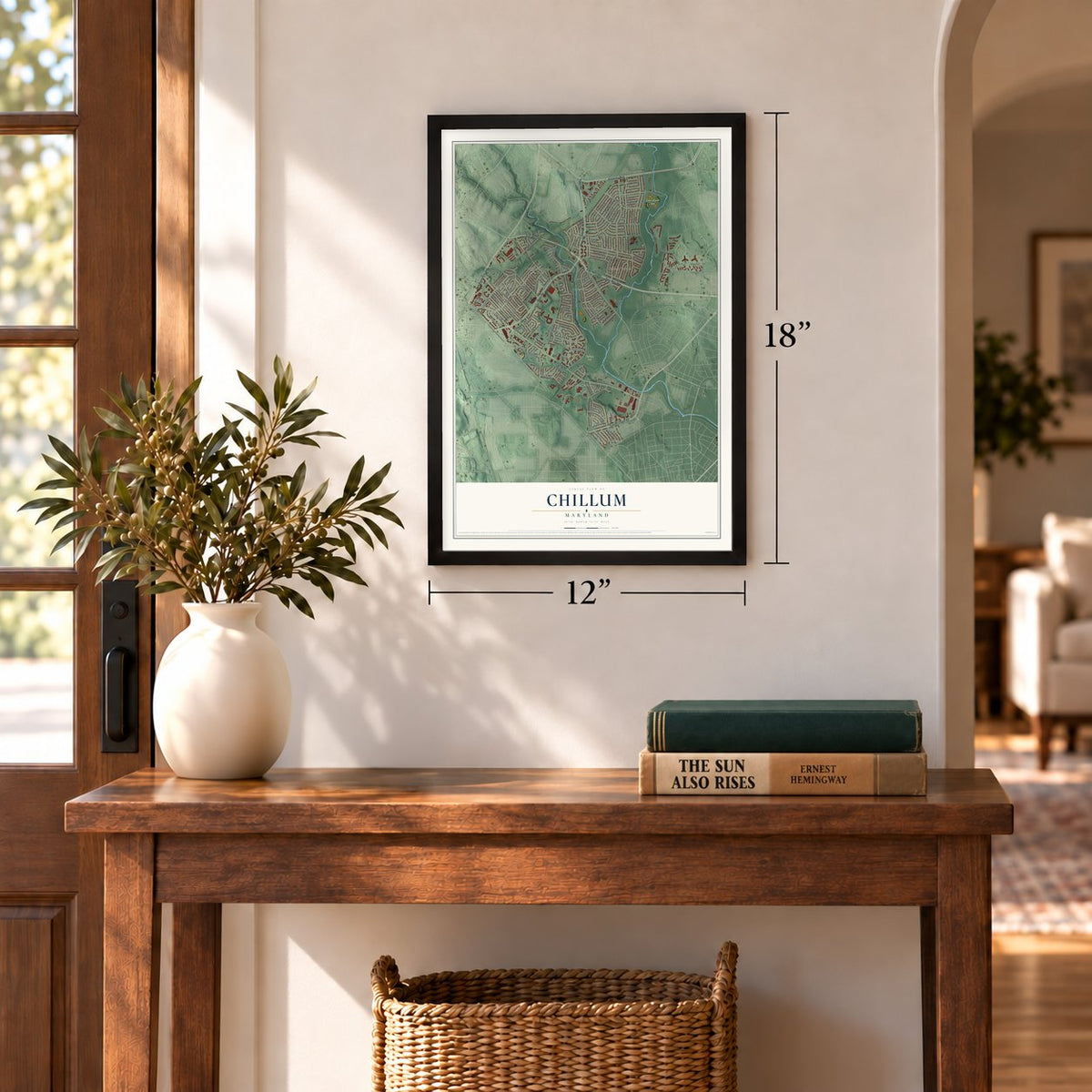
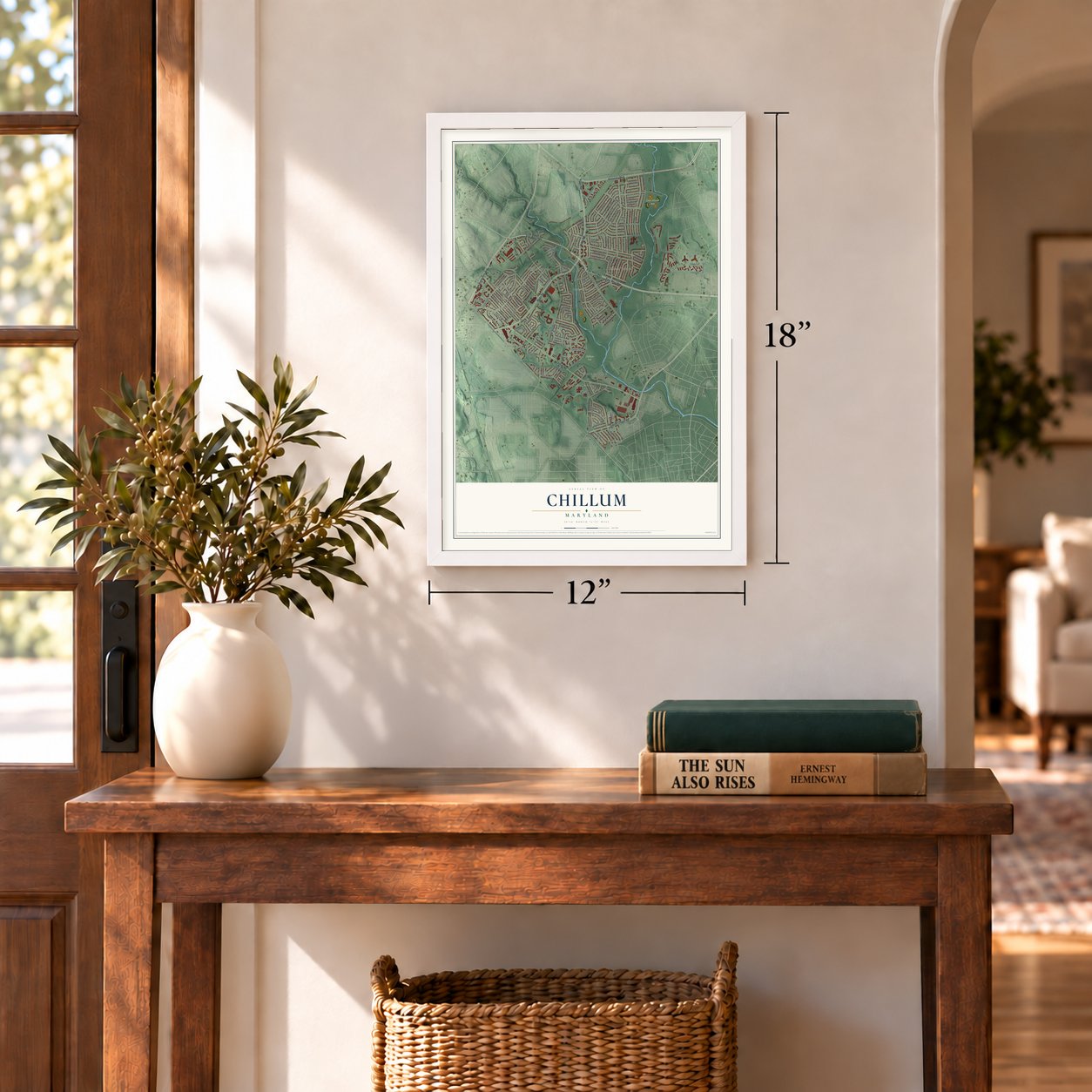
Three ways to hang it
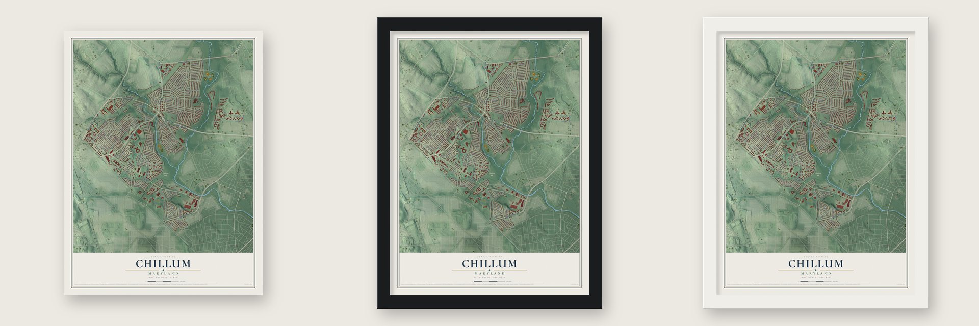
Unframed archival matte, a black wood frame or a white wood frame.
Up close
Geography Worth Displaying
This map was created using accurate cartographic data and authoritative geographic sources, including the U.S. Geological Survey and the Census Bureau. The map brings together terrain, waterways, roads, and building detail. The majority of the streets are labeled, houses are accurately depicted, and the topography is derived from government sources. Combining local data with carefully composed color and shading leads to this beautifully detailed Chillum artwork for your wall.
Rather than simply showing street outlines, we’ve included as many of the street names as we could reasonably fit on the map while keeping their names legible. Zoom in on the high resolution preview to see exactly what’s on the map. We truly set out to create a statement piece for anyone who loves Chillum. So whether it’s for you, or a gift for someone you love, we hope this map of Chillum brings back fond memories.
Read the story behind this map of Chillum, Maryland from 2026.
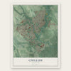
Find your street
Names on the Chillum map
Every name below is printed on this map. Look for your street, your school, the park where you played, or the pond down the road.
Places and landmarks17
- Chillum Park
- Lane Manor Park
- Chillum Terrace
- North Woodridge
- Chillum Manor
- Canonbury Square
- Brookside Manor
- Michigan Park Hills
- Avondale Terrace
- Hampshire Knolls
- Chillum Gardens
- Avondale
Show all 17 places
- University Gardens
- Lewisdale
- Green Meadows
- Chillum Heights
- North Avondale
Streets and roads133
- East West Highway
- East-West Highway
- New Hampshire Avenue
- Riggs Road
- University Boulevard
- Chillum Road
- Queens Chapel Road
- Eastern Avenue Northeast
- Drexel Street
- Avalon Place
- Guilford Road
- 23rd Avenue
- Ray Road
- Sligo Parkway
- Ager Road
- West Park Drive
- 24th Avenue
- Sargent Road
- 20th Avenue
- Sheridan Street
- Amherst Road
- 25th Avenue
- Chapman Road
- Lewisdale Drive
- Red Top Road
- Hannon Street
- Woodberry Street
- Russell Avenue
- Toledo Terrace
- 24th Place
Show all 133 streets
- Fordham Street
- 16th Avenue
- Beechwood Road
- Toledo Road
- Cox Avenue
- 22nd Avenue
- Charleston Place
- Eighth Avenue
- 18th Avenue
- Chillum Manor Road
- Banning Place
- Balfour Drive
- Van Buren Street
- Somerset Place
- 23rd Place
- 21st Avenue
- Highview Terrace
- Raydale Road
- Cypress Creek Drive
- Lasalle Road
- Toledo Place
- Dean Drive
- 22nd Place
- Fairview Avenue
- Rosedale Drive
- Nicholson Street
- Tenth Place
- 14th Place
- Medwick Drive
- Ingraham Street
- Jefferson Street
- Eastern Avenue
- Avondale Road
- Berkshire Drive
- Dayton Road
- Crosby Road
- 20th Place
- Roanoke Street
- 17th Avenue
- Fairoak Avenue
- Ninth Avenue
- Conley Road
- Calvert Street
- Karlson Avenue
- Oglethorpe Street
- Chillumgate Road
- Parkway Court
- Westland Drive
- Carson Circle
- 19th Avenue
- Northwest Drive
- Elliott Place
- Talbert Lane
- Brighton Road
- Oliver Street
- Parker Avenue
- Griffen Street
- 21st Street
- Tuckerman Street
- Hayden Road
- Fordham Place
- Oakdale Drive
- Torrey Place
- Belcrest Road
- 15th Place
- Valley Drive
- Luray Place
- 19th Place
- 15th Avenue
- Knollbrook Drive
- Rittenhouse Street
- Madison Street
- Burketon Road
- Twin Oak Drive
- Peabody Street
- Kennedy Street
- Avondale Overlook Drive
- Legation Road
- Linwood Street
- Northwest Branch Trail
- Somerset Street
- Ray Court
- Burgess Drive
- Norton Road
- Raydale Court
- Linden Avenue
- Balfour Court
- Erskine Street
- Timber Ridge Lane
- Belle Court
- 21st Place
- Thurman Avenue
- Ravenswood Street
- Patterson Street
- Longford Drive
- Greenlawn Drive
- Tenth Avenue
- Truman Road
- Powhatan Road
- Flanders Drive
- Eighth Place
- Longfellow Street
- Anna Court
Names are listed as they appear on the printed map. Zoom into the product photos to find them.
About Chillum, Maryland
Chillum is a community of 36,039 people in Prince George's County, on the border with Washington, D.C. Its name goes back to 1763, when William Dudley Digges formed Chillum Castle Manor, a land patent of 4,443 acres that reached into what is now the District. He named it for Chilham Castle in Kent, England, the old home of his ancestor Sir Dudley Digges.
No streetcar ever ran out this way, so the land stayed rural into the 1930s. In the middle of that decade, developers began cutting the ground near the District line into lots, selling buyers on the quick trip into the city and on water, gas and electric service. Chillum Gardens and Oakdale Terrace came first, but buyers there had to build their own houses, so those streets filled in slowly. Builders put up whole neighborhoods at Green Meadows and Brookdale Manor instead, and both were finished by 1942.
- L'Enfant's last homeGreen Hill, the manor house on the Henrietta Maria parcel, was the Digges family home. Late in life Pierre Charles L'Enfant, who drew the plan for Washington, D.C., had no money and few friends, so William Dudley Digges took him in to run the farm. L'Enfant died poor there in 1825 and lay in a grave on the farm until 1909, when he was moved to Arlington National Cemetery. In 1925 a monument marked the spot.
- Green Hill rebuilt in 1868George Washington Riggs later bought the Green Hill plantation, and in 1868 he built the house that stands there today.
- A 400-foot radio towerIn 1938 NBC moved the transmitter for WRC, its main Washington station, out of the city to 19.03 acres of farmland in the fork where Sligo Creek joins the Northwest Branch. The company put up an Art Deco transmitter building, and its first tower rose 400 feet.
- 1,147 apartments in 1949After the war, building came fast. Chillumgate went up in 1946, and in 1949 two apartment communities opened, among them the Chillum Heights Apartments, three-story brick buildings with 1,147 units between them.
Keep exploring Maryland
Chillum is one of 881 Maryland towns we've mapped. Every dot on the map is a print of its own.
The search covers every state, Maryland first.
Near Chillum
Order 2 or more town maps and save 10%. Shown in the size and finish you picked above, so they hang as a set.
- Hyattsville 12" x 18" / Archival Matte Print $39.99
- Takoma Park 12" x 18" / Archival Matte Print $39.99
- Langley Park 12" x 18" / Archival Matte Print $39.99
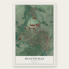

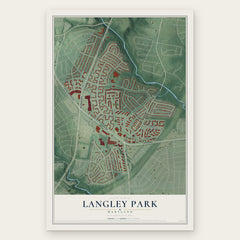
More maps nearby: Mount Rainier, University Park, Brentwood, North Brentwood and Adelphi.
The art of mapping a place
How This Map Was Made
Real places. Remarkable detail. Discover the layers that turn geographic data into a map of home.

The view from above
Aerial imagery reveals the character of the land: woodland, open fields, and the patterns of a place.

The shape of the land
Elevation data brings hills, valleys, and subtle changes in the landscape into view.

The details of home
Roads, waterways, and building footprints come together to make the map feel unmistakably local.

Geography becomes art
Considered color, shading, and typography bring the layers together in a map made for your wall.


Process illustrated with Mendon, Massachusetts. Aerial imagery: USDA NAIP. Terrain: USGS 3D Elevation Program. Map details and finished artwork: KNOWOL.
The Details
About This Print
Choose an archival matte print, or a black or white Ayous wood frame. The archival matte print is unframed.
Select your size and finish above to see the matching product image and price.
Materials & Craftsmanship
A contemporary map with the character of a classic atlas, printed on archival matte paper. Optional frames are made from Ayous wood.
Your printed map does not include the watermark shown in the full-map preview.
Shipping & Delivery
Free shipping within the United States. Every print is made to order in the USA.
Buying a gift? Add a note in your cart and we'll include it. We never put prices in the package.
Prints ship within 2 to 3 business days. Allow 7 to 10 days total from ordering for delivery. Timing may vary during holidays or periods of high order volume.
Read our shipping policy.
Returns and damaged prints
Each print is made to order. Change-of-mind refunds are not available after production.
If your print arrives damaged, misprinted or incorrect, contact support@knowol.com within 30 days of receiving it. Include your order number, photos and a description of the issue.
Read our full refund and replacement policy. For questions about your order, email support@knowol.com.