
Search for another town



Free U.S. delivery 7 to 10 days after you order
Clopper, Maryland Map Art
Building by building, with labeled streets and shaded relief.
12" x 18" Archival Matte Print
A Map of Home. A Work of Art.
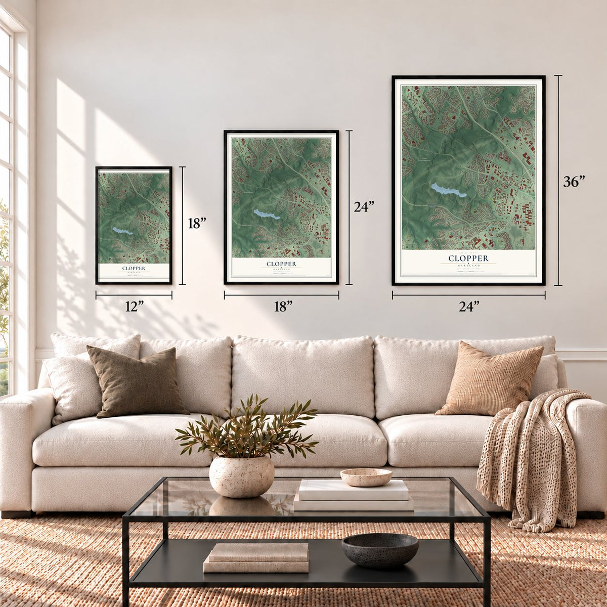
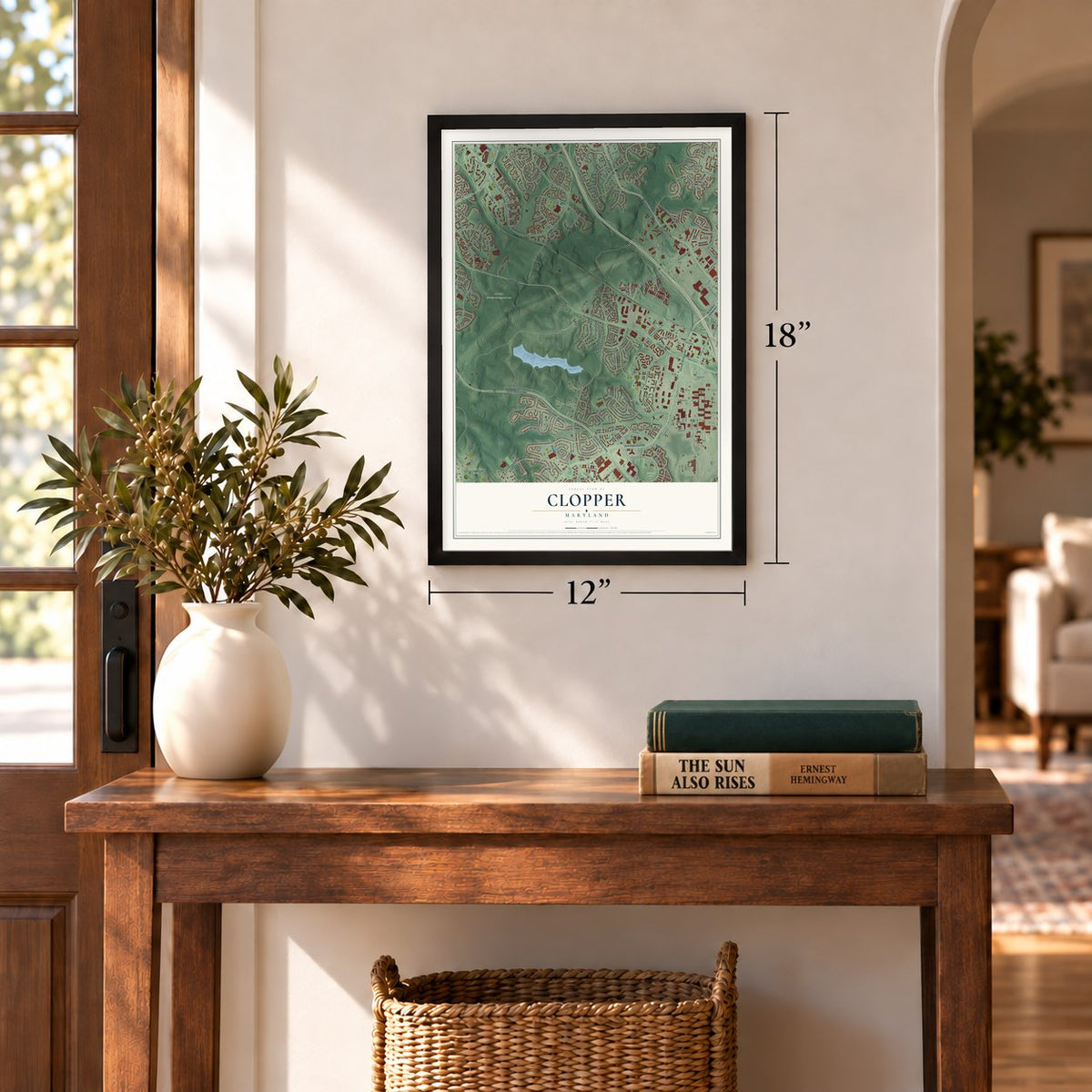
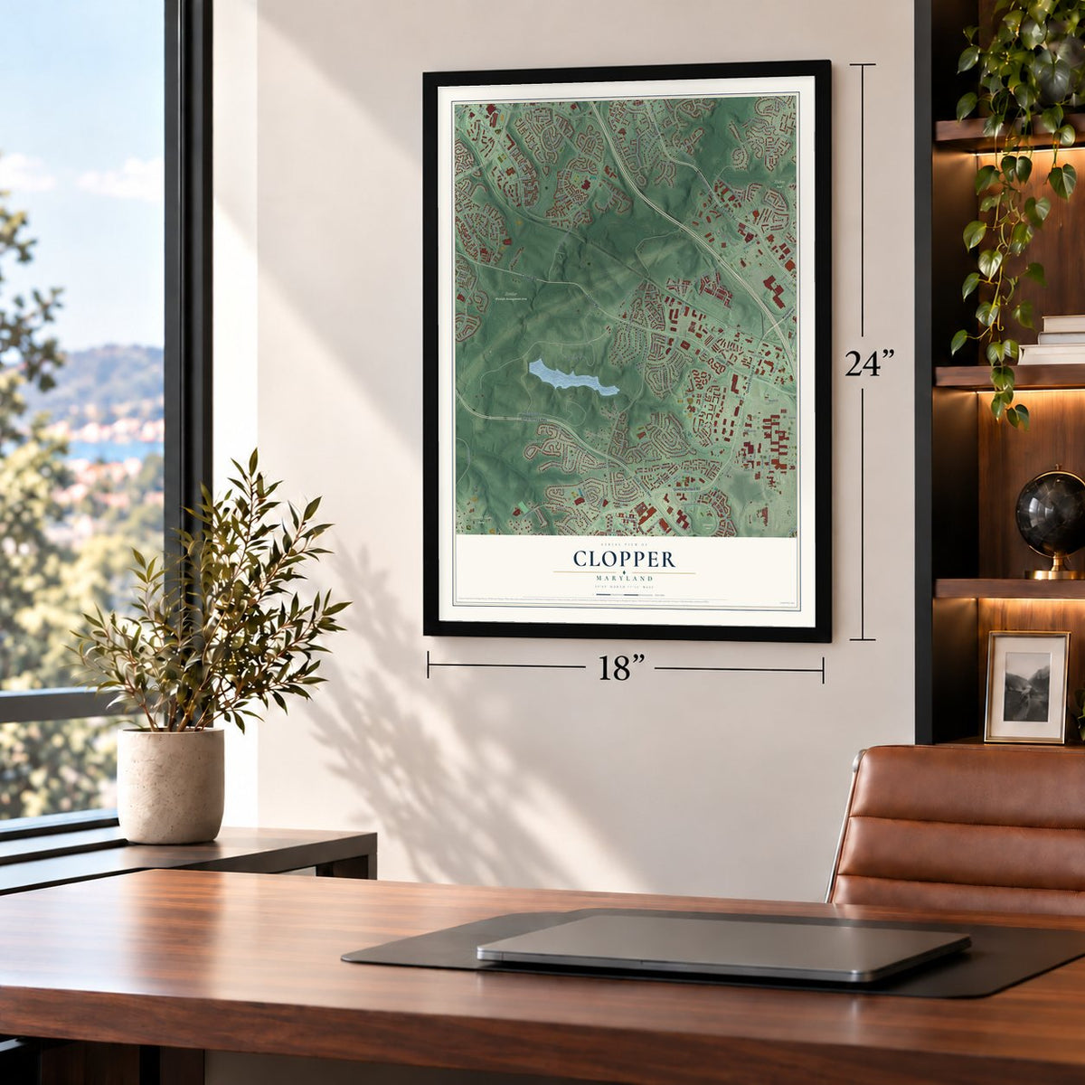
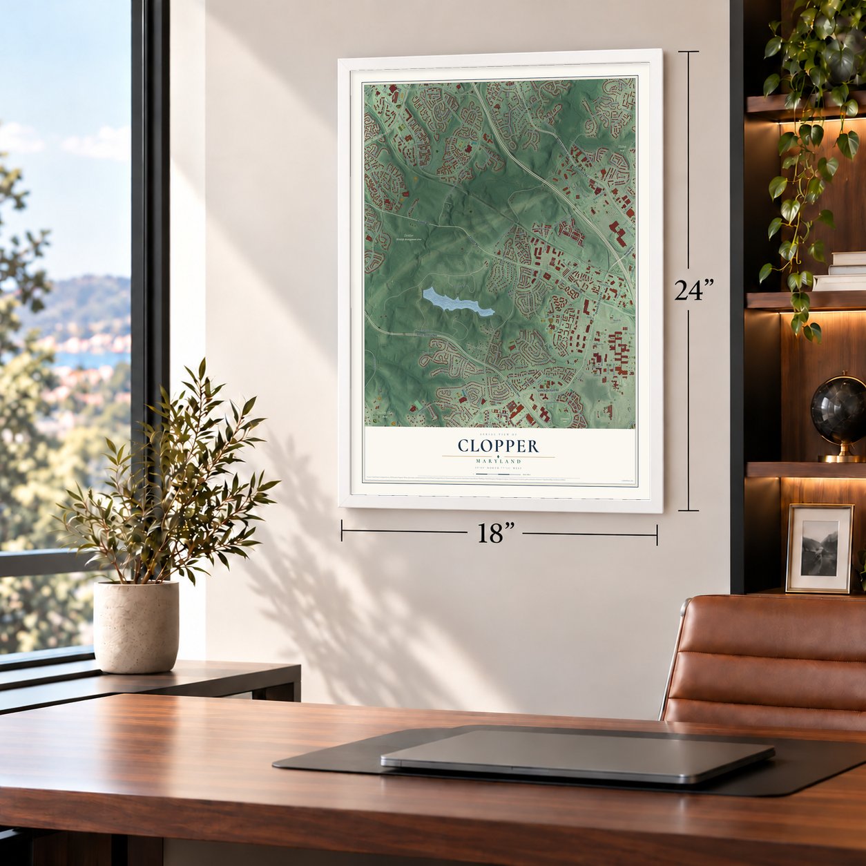
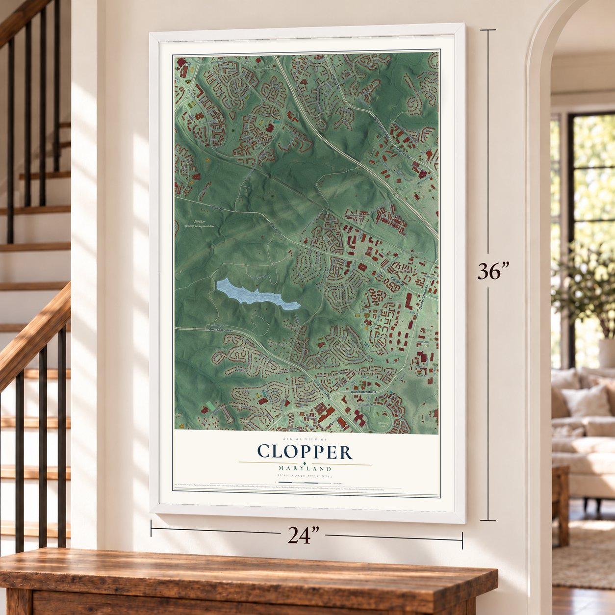
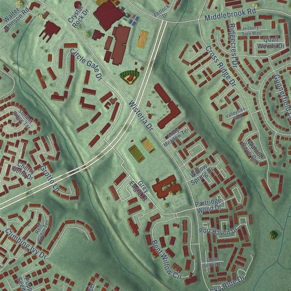
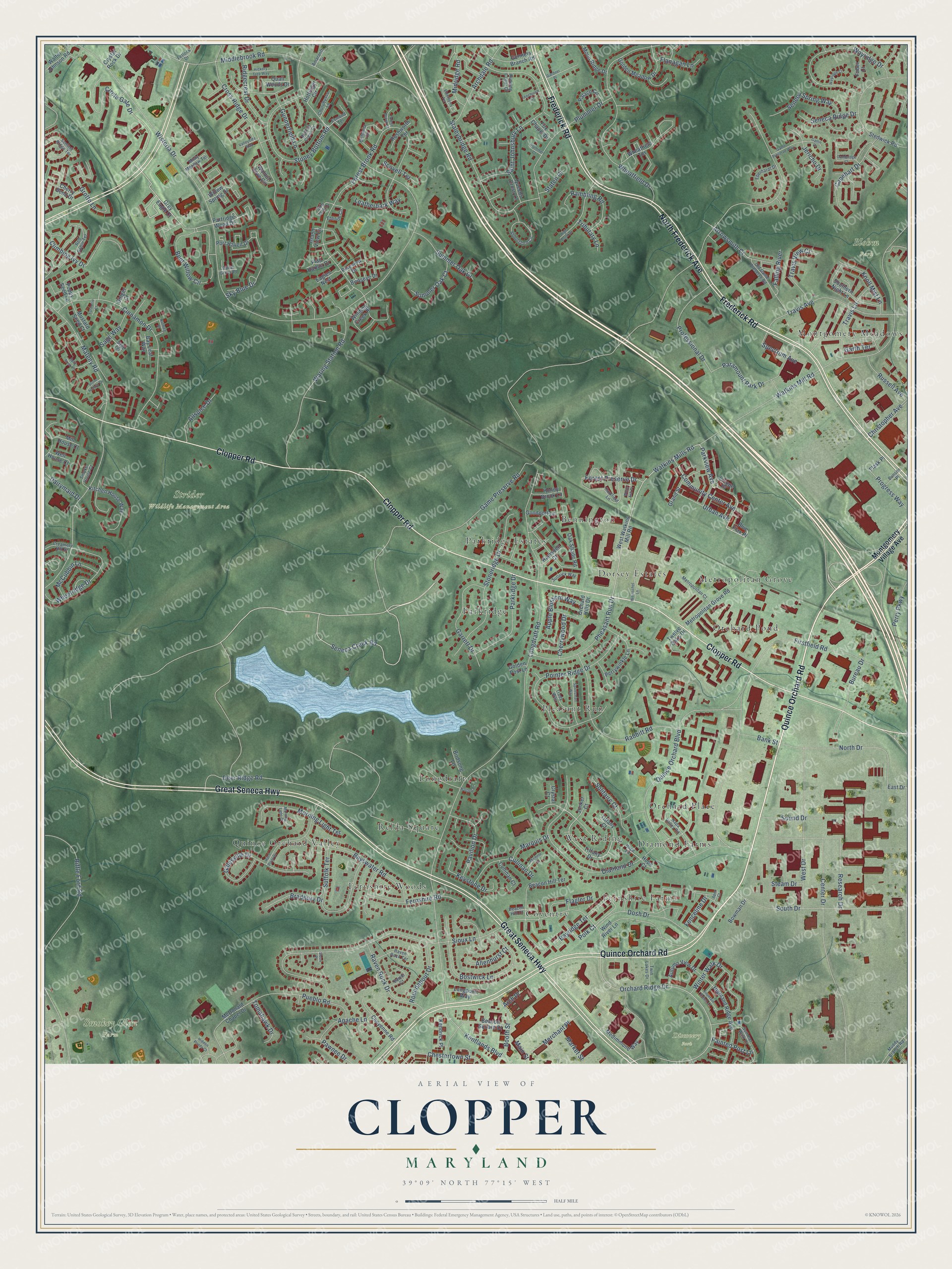
Explore Clopper, Maryland from a whole new perspective. Created using aerial imagery and detailed geographic data, this map captures Clopper building by building, with labeled streets, familiar landmarks, and shaded topographical relief that highlights the natural contours of the landscape.
Combining modern data with the timeless character of a vintage atlas, this map is just as interesting up close as it is beautiful on the wall. Whether you grew up in Clopper, spent memorable years there, or call it home today, this unique map is a great way to celebrate a place that means something to you. Zoom in on the preview to look for your street, and then order a print to put your memories on the wall.
Three ways to hang it
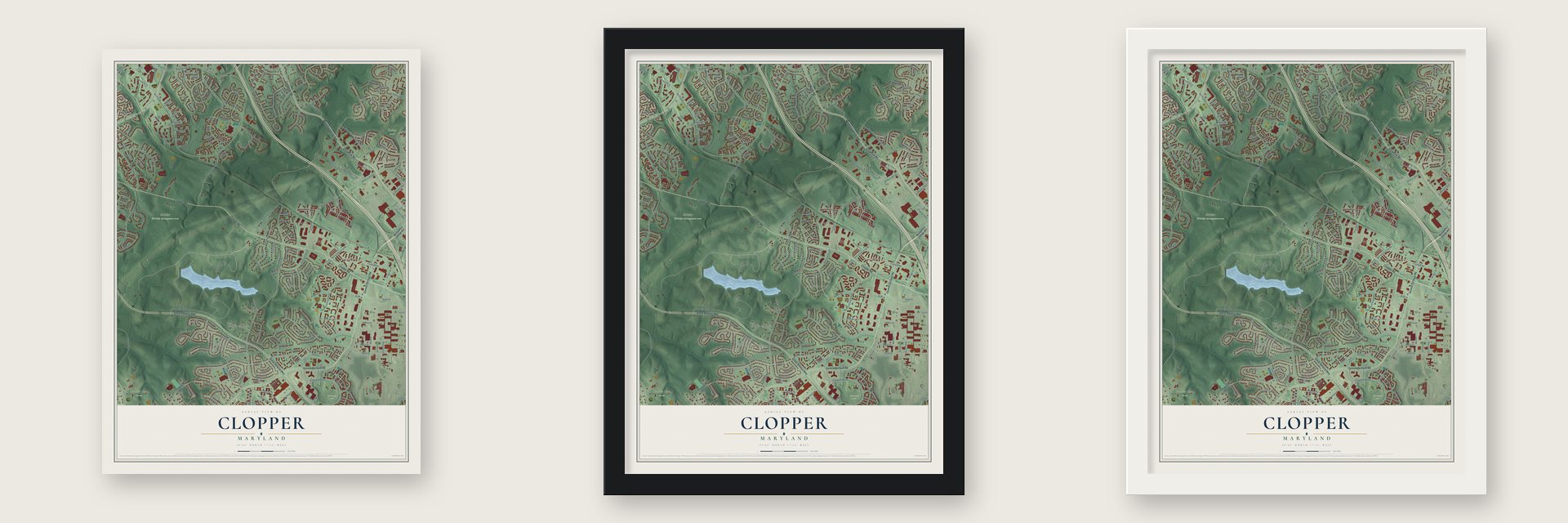
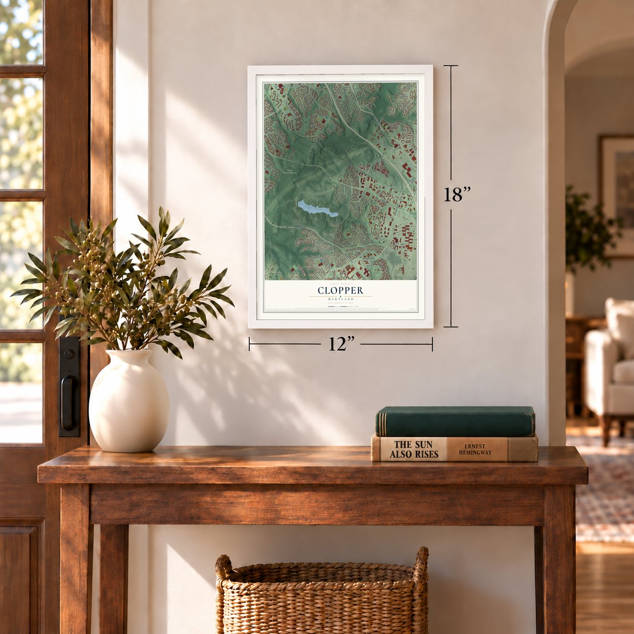
Unframed archival matte, a black wood frame or a white wood frame.
Up close
Geography Worth Displaying
This map was created using accurate cartographic data and authoritative geographic sources, including the U.S. Geological Survey and the Census Bureau. The map brings together terrain, waterways, roads, and building detail. The majority of the streets are labeled, houses are accurately depicted, and the topography is derived from government sources. Combining local data with carefully composed color and shading leads to this beautifully detailed Clopper artwork for your wall.
Rather than simply showing street outlines, we’ve included as many of the street names as we could reasonably fit on the map while keeping their names legible. Zoom in on the high resolution preview to see exactly what’s on the map. We truly set out to create a statement piece for anyone who loves Clopper. So whether it’s for you, or a gift for someone you love, we hope this map of Clopper brings back fond memories.
Read the story behind this map: Detailed Map of Clopper, Maryland.

Find your street
Names on the Clopper map
Every name below is printed on this map. Look for your street, your school, the park where you played, or the pond down the road.
Places and landmarks21
- Blohm Park
- Discovery Park
- Smokey Glen Farm
- Strider Wildlife Management Area
- Dorsey Estates
- Quince Orchard Valley
- Orchard Place
- Longdraft
- Parkridge
- Fernshire Farms
- Montgomery Meadows
- Metropolitan Grove
Show all 21 places
- Coventry
- Parkridge Estates
- Pleasant Run
- Relda Square
- Fernshire Woods
- Bennington
- Orchard Pond
- West Riding
- Diamond Farms
Streets and roads251
- Quince Orchard Road
- North Frederick Avenue
- Great Seneca Highway
- Frederick Road
- Clopper Road
- Parkview Avenue
- Watkins Mills Road
- Seneca Creek Road
- Watkins Mill Road
- Circle Gate Drive
- Polk Court
- Forest Preserve Drive
- Orchard Ridge Drive
- Game Preserve Road
- Longdraft Road
- Waring Station Road
- Sioux Lane
- Wisteria Drive
- Firstfield Road
- Deer Ridge Road
- Mateny Road
- Quince Orchard Boulevard
- Middlebrook Road
- Forest Brook Road
- Wheatfield Drive
- Center Drive
- Riffle Ford Road
- Cinnamon Drive
- Diamond Drive
- Saint Johnsbury Lane
Show all 251 streets
- Pointer Ridge Drive
- South Drive
- Rabbitt Road
- Wayridge Drive
- Cross Ridge Drive
- Bostwick Lane
- Bureau Drive
- West Drive
- Travis Avenue
- Stoney Bottom Road
- Staleybridge Road
- Bent Willow Circle
- Plummer Drive
- North Drive
- Stoneridge Drive
- Galesville Drive
- Research Drive
- Suffolk Terrace
- Bayswater Road
- Pheasant Run Drive
- Paramount Park Drive
- Professional Drive
- Pueblo Road
- Wheatridge Drive
- Climbing Ivy Drive
- Dosh Drive
- Garrett Drive
- Winter Walk Drive
- Travis Lane
- Parkridge Drive
- Gunnerfield Lane
- Capehart Drive
- Morning Light Terrace
- Grotto Lane
- Archdale Road
- Kentlands Boulevard
- Fernshire Road
- Solitaire Court
- Seneca Spring Way
- Arrowsmith Court
- Chestertown Street
- Rambling Road
- Community Center Avenue
- Urban Avenue
- Raven Rock Drive
- Pavilion Drive
- Perry Parkway
- Travis View Court
- Summer Oak Drive
- Ridgecrest Drive
- Cullinan Drive
- Knoll Mist Lane
- Booth Street
- McCubbin Lane
- Midridge Road
- Apple Blossom Way
- Merchant Place
- Roundabout Drive
- Allspice Drive
- Seneca Ridge Drive
- Jericho Drive
- Apache Lane
- Bradbury Drive
- Sound Drive
- Russell Avenue
- Spectrum Avenue
- Summer Oak Court
- Bayridge Terrace
- Christopher Avenue
- Pawnee Drive
- Sky Blue Drive
- Flagler Drive
- Progress Way
- Tomahawk Drive
- Main Street
- Leatherbark Way
- Falling River
- Flanagan Lane
- Keystone Drive
- Cherrywood Drive
- Marquis Drive
- Painted Post Lane
- Sage Way
- Dairymaid Drive
- Allenhurst Court
- Market Street
- Bank Street
- Tributary Lane
- Staten Court
- Scovell Terrace
- Fenceline Drive
- Steam Drive
- Garth Terrace
- Arch Place
- Montgomery Village Avenue
- Blue Flax Place
- Grey Eagle Court
- Tiffany Drive
- West Watkins Mill Road
- Quail Woods Drive
- Medimmune Way
- Stedwick Road
- Beacon Hill Terrace
- East Drive
- Highland Ridge Avenue
- Wheatfield Terrace
- Metropolitan Grove Road
- Oak Shade Road
- Birdseye Drive
- Southern Night Lane
- McDonald Chapel Drive
- Wind River Lane
- Golden Meadow Drive
- Kitchen House Way
- Perrywinkle Lane
- Port Haven Drive
- Partridge Wood Drive
- Liriope Place
- Gunners Branch Road
- Orchard Hills Drive
- Grand Street
- Autumn View Drive
- Cherry Bend Drive
- Willow Spring Drive
- Cheyenne Road
- Beacon Square Court
- Winding Creek Place
- Palace Circle
- Walnut Cove Circle
- Kendrick Place
- Moon Ridge Drive
- Goodport Lane
- Island View Circle
- Twelve Oaks Drive
- Poppy Seed Lane
- Walter Johnson Road
- Birdsong Lane
- Longpoint Way
- Cullinan Court
- Rushworth Terrace
- Queens Cross Lane
- Mustard Seed Court
- Honey Brook Lane
- Bowman Drive
- Mill House Court
- Hottinger Circle
- Ramsdell Court
- Jonker Court
- Fox Chapel Drive
- Flag Harbor Drive
- Eagles Nest
- Bay Leaf Way
- Crystal Rock Drive
- Tiffany Court
- Pikeview Drive
- Faber Court
- Well House Court
- Crystal Court
- Flask Place
- Golden Post Lane
- Ginger Court
- Hope Court
- Hope Lane
- Caulfield Lane
- Twin Lakes Drive
- Abbotsford Circle
- Muddy Branch Road
- Summer Walk Drive
- Old Game Preserve Road
- Metropolitan Court
- Napa Valley Road
- Brittania Circle
- Red Robin Terrace
- Sullnick Way
- Raven Rock Terrace
- Bambi Court
- Esmond Terrace
- Summit Ridge Terrace
- Ebbtide Circle
- Misty Meadow Terrace
- Eberhardt Drive
- Amaranth Drive
- Trudy Way
- Churubusco Lane
- Creamery Hill Drive
- Smoke House Court
- Walnut Creek Court
- Sage Terrace
- Bunsen Place
- Fetlock Drive
- Skip Jack Drive
- Coral Grove Place
- Running Cedar Court
- Beacon Hill Court
- White Ash Place
- Horn Point Drive
- High Point Drive
- Sportsman Way
- Weinschel Lane
- Cambridge Court
- Elderberry Terrace
- Fountain Green Lane
- Nutmeg Place
- Split Rock Lane
- Gatlin Drive
- Hickory Tree Way
- Game Preserve Way
- Wayridge Court
- Michele Court
- Stone Hollow Drive
- Hidden Ponds Court
- Forest Brook Court
- Valleyside Way
- Fenchurch Court
- Morning Light Court
- Hartley Place
- Plummer Court
- Gardner Place
- Turmeric Court
- Apex Court
- Sioux Place
Names are listed as they appear on the printed map. Zoom into the product photos to find them.
About Clopper, Maryland
Francis Cassott Clopper bought a farm on Great Seneca Creek in 1812 and lived there fifty-seven years. His mill stood on the creek. He spent his last twenty years pushing for a railroad through the county. The line was later built, with a station called Clopper's. He did not live to see it finished.
Keep exploring Maryland
Clopper is one of 881 Maryland towns we've mapped. Every dot on the map is a print of its own.
The search covers every state, Maryland first.
Near Clopper
Order 2 or more town maps and save 10%. Shown in the size and finish you picked above, so they hang as a set.
- Germantown 12" x 18" / Archival Matte Print $39.99
- Gaithersburg 12" x 18" / Archival Matte Print $39.99
- Watkins Mill 12" x 18" / Archival Matte Print $39.99


More maps nearby: Rosemont, Montgomery Village, Flower Hill, North Potomac and Washington Grove.
The art of mapping a place
How This Map Was Made
Real places. Remarkable detail. Discover the layers that turn geographic data into a map of home.

The view from above
Aerial imagery reveals the character of the land: woodland, open fields, and the patterns of a place.

The shape of the land
Elevation data brings hills, valleys, and subtle changes in the landscape into view.

The details of home
Roads, waterways, and building footprints come together to make the map feel unmistakably local.

Geography becomes art
Considered color, shading, and typography bring the layers together in a map made for your wall.


Process illustrated with Mendon, Massachusetts. Aerial imagery: USDA NAIP. Terrain: USGS 3D Elevation Program. Map details and finished artwork: KNOWOL.
The Details
About This Print
Choose an archival matte print, or a black or white Ayous wood frame. The archival matte print is unframed.
Select your size and finish above to see the matching product image and price.
Materials & Craftsmanship
A contemporary map with the character of a classic atlas, printed on archival matte paper. Optional frames are made from Ayous wood.
Your printed map does not include the watermark shown in the full-map preview.
Shipping & Delivery
Free shipping within the United States. Every print is made to order in the USA.
Buying a gift? Add a note in your cart and we'll include it. We never put prices in the package.
Prints ship within 2 to 3 business days. Allow 7 to 10 days total from ordering for delivery. Timing may vary during holidays or periods of high order volume.
Read our shipping policy.
Returns and damaged prints
Each print is made to order. Change-of-mind refunds are not available after production.
If your print arrives damaged, misprinted or incorrect, contact support@knowol.com within 30 days of receiving it. Include your order number, photos and a description of the issue.
Read our full refund and replacement policy. For questions about your order, email support@knowol.com.