
Search for another town





Free U.S. delivery 7 to 10 days after you order
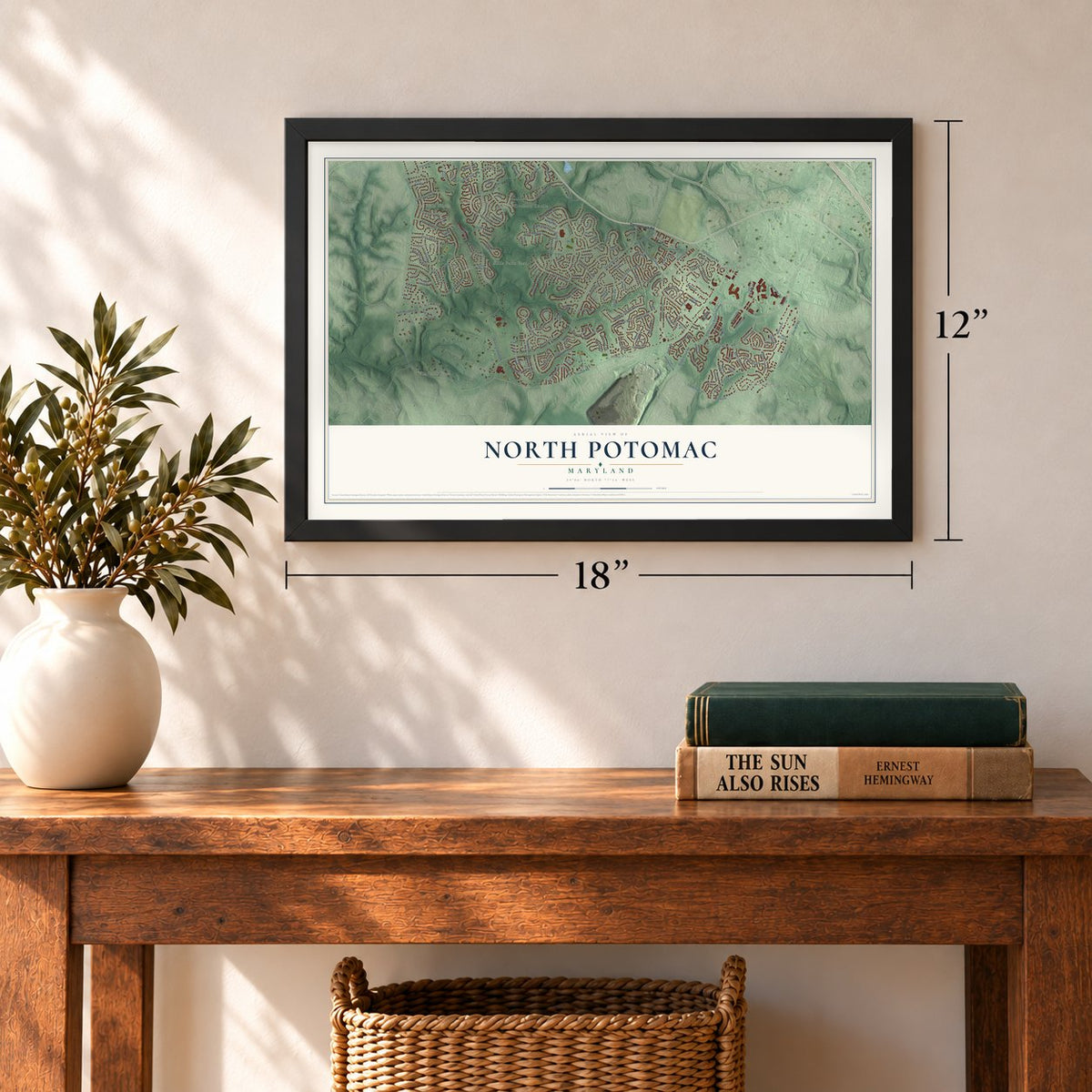
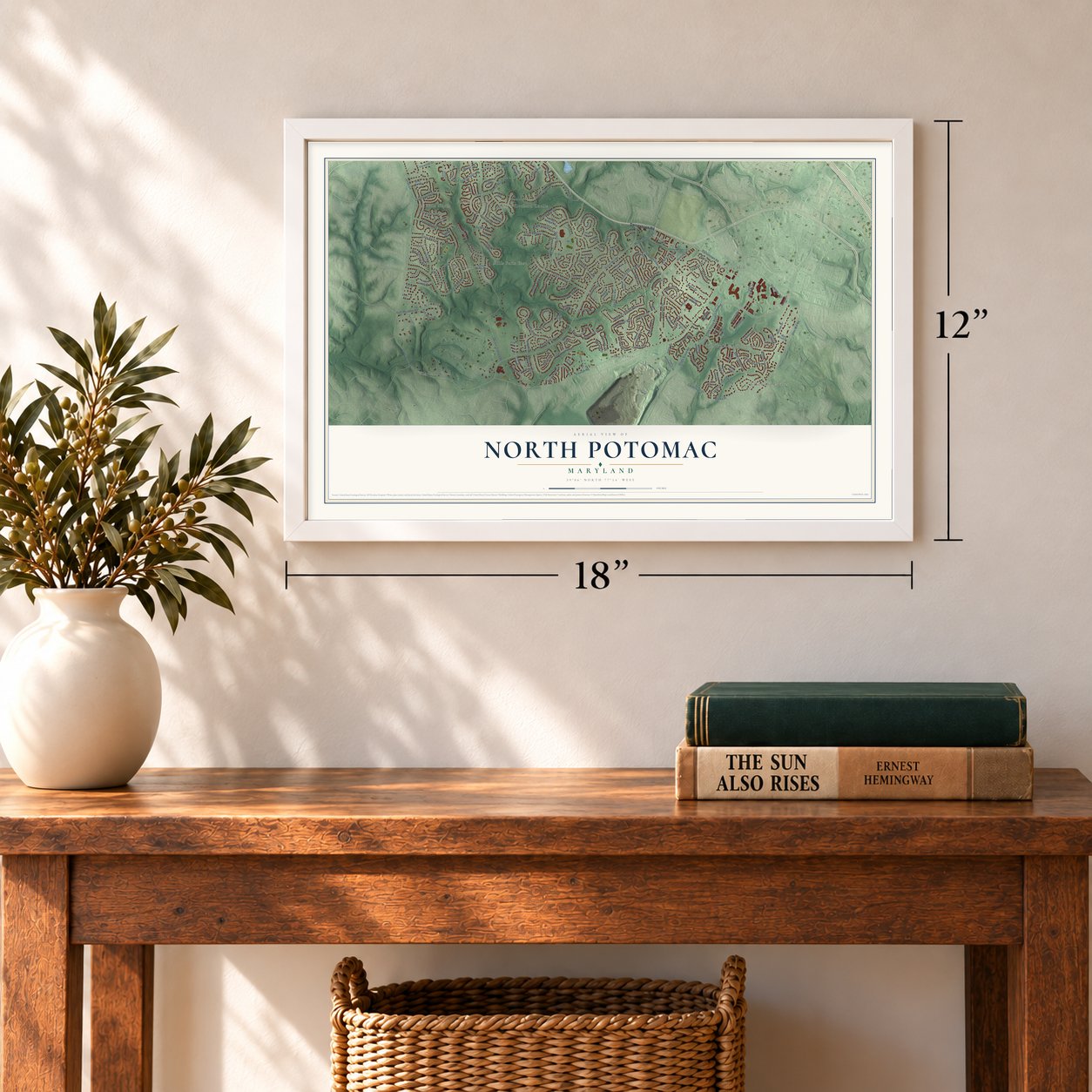
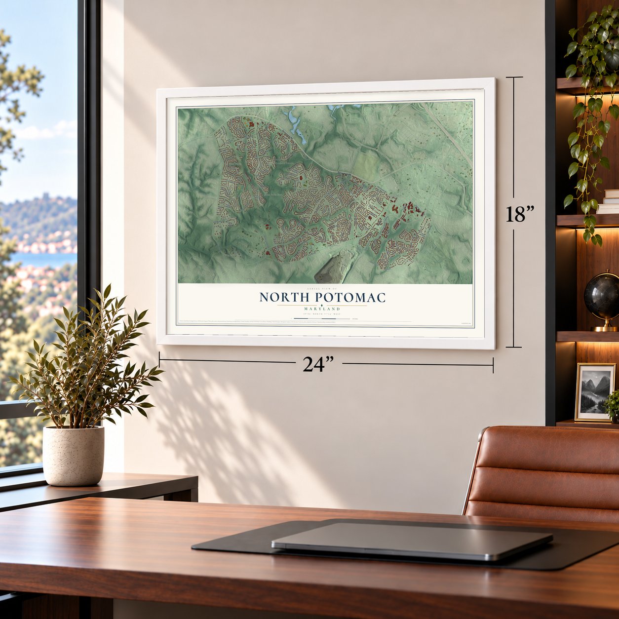
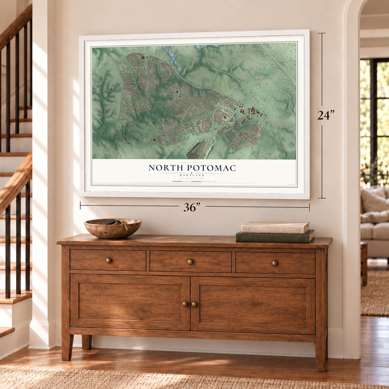
North Potomac, Maryland Map Art
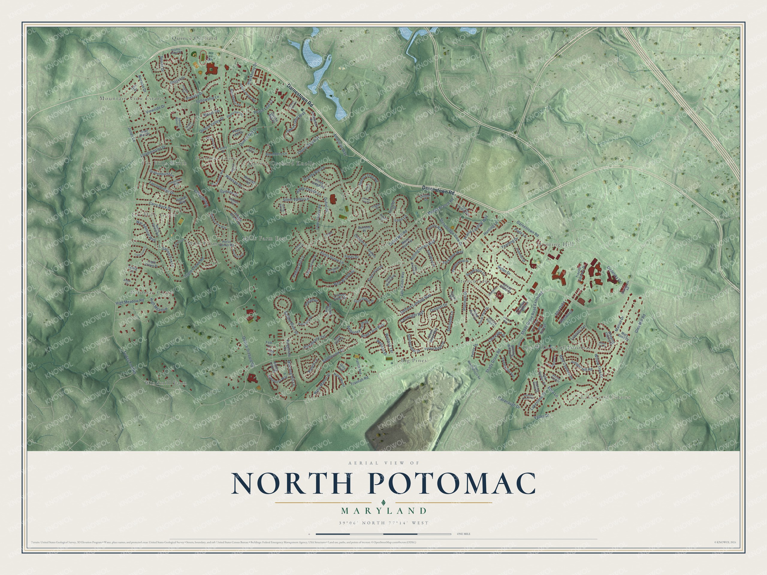
A new map of North Potomac, Maryland, made in 2026 and printed to order on thick archival matte paper.
12" x 18" Archival Matte Print
A Map of Home. A Work of Art.
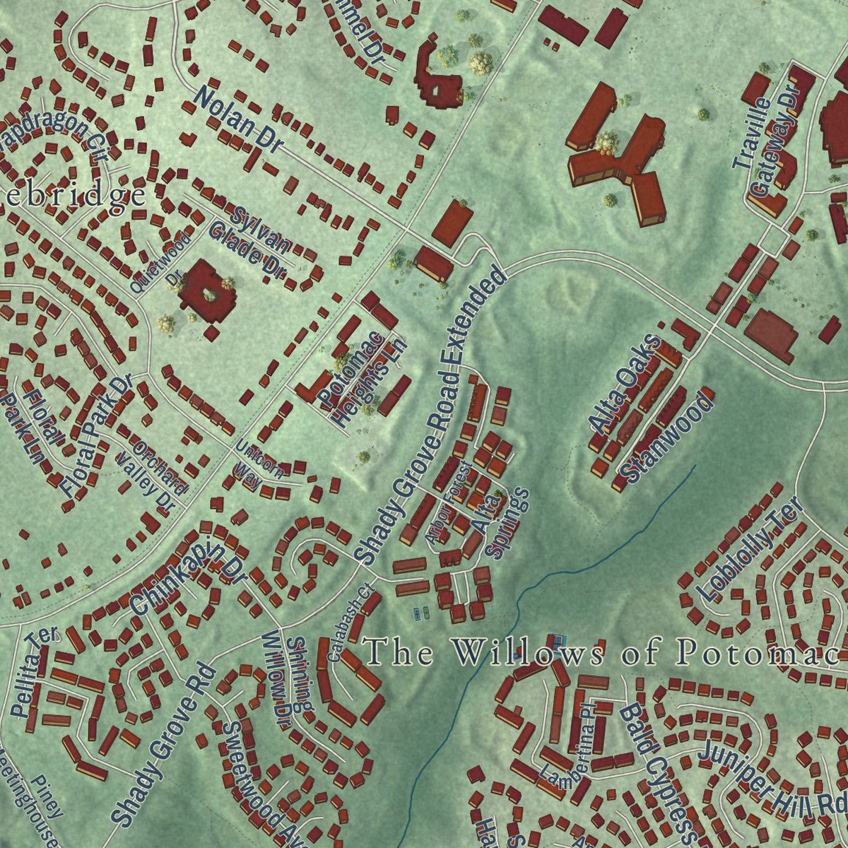
Explore North Potomac, Maryland from a whole new perspective. Created using aerial imagery and detailed geographic data, this map captures North Potomac building by building, with labeled streets, familiar landmarks, and shaded topographical relief that highlights the natural contours of the landscape.
Combining modern data with the timeless character of a vintage atlas, this map is just as interesting up close as it is beautiful on the wall. Whether you grew up in North Potomac, spent memorable years there, or call it home today, this unique map is a great way to celebrate a place that means something to you. Zoom in on the preview to look for your street, and then order a print to put your memories on the wall.
Three ways to hang it
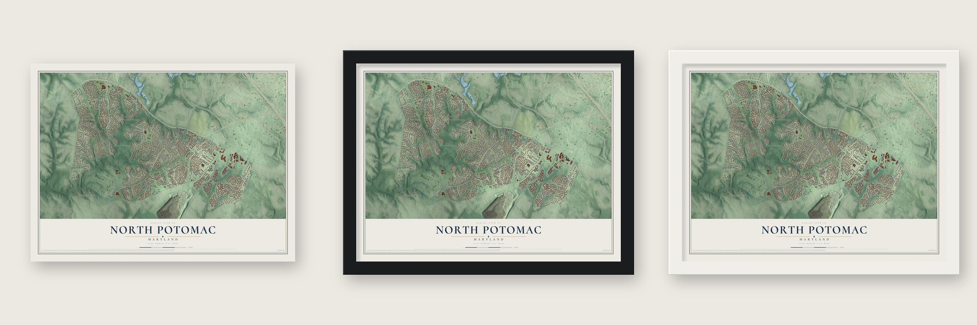
Unframed archival matte, a black wood frame or a white wood frame.
Up close
Geography Worth Displaying
This map was created using accurate cartographic data and authoritative geographic sources, including the U.S. Geological Survey and the Census Bureau. The map brings together terrain, waterways, roads, and building detail. The majority of the streets are labeled, houses are accurately depicted, and the topography is derived from government sources. Combining local data with carefully composed color and shading leads to this beautifully detailed North Potomac artwork for your wall.
Rather than simply showing street outlines, we’ve included as many of the street names as we could reasonably fit on the map while keeping their names legible. Zoom in on the high resolution preview to see exactly what’s on the map. We truly set out to create a statement piece for anyone who loves North Potomac. So whether it’s for you, or a gift for someone you love, we hope this map of North Potomac brings back fond memories.
Read the story behind this map of North Potomac, Maryland from 2026.

About North Potomac, Maryland
From the North Potomac Citizens Association: "North Potomac, MD, was created in 1988 from the peripheral fringes of Gaithersburg, Potomac, and Rockville, and lies near the Potomac River. It shares ZIP codes with Gaithersburg, Potomac, and Rockville."
Find your street
Names on the North Potomac map
Every name below is printed on this map. Look for your street, your school, the park where you played, or the pond down the road.
Places and landmarks15
- Lakewood Estates
- Big Pines
- Fox Hills Green
- Fox Hills North
- Hunting Hill
- Mills Farm
- Mills Farm East
- Mountain View Estates
- Potomac Chase
- Potomac Grove
- Quince Orchard
- Quince Orchard Knolls
Show all 15 places
- Stonebridge
- The Willows of Potomac
- Windmill Farm
Streets and roads184
- Darnestown Road
- Nolan Drive
- Yearling Drive
- High Meadow Road
- Quince Orchard Road
- High Meadow
- Travilah Road
- Dufief Mill Road
- Shady Grove Road Extended
- Jones Lane
- Dufief Drive
- Triple Crown Road
- Turkey Foot Road
- Stonebridge View Drive
- Glen Mill Road
- Outpost Drive
- Brandy Hall Lane
- Rolling Green Way
- Saddle River Drive
- Willow Tree Drive
- Flints Grove Lane
- Saddleview Drive
- Gudelsky Drive
- Joshua Tree Road
- Winesap Drive
- Norman Drive
- Bald Cypress Drive
- Shady Grove Road
- Valley Drive
- Quince Mill Drive
Show all 184 streets
- Settlers Landing Way
- Cherry Grove Drive
- Freas Drive
- Lakestone Place
- Cartwright Way
- Cavanaugh Drive
- Marian Drive
- Fellowship Lane
- Quince Valley Drive
- Silent Valley Lane
- Pebble Hill Lane
- Falconbridge Drive
- Platinum Drive
- Pissaro Drive
- Juniper Hill Road
- Prairie Landing Way
- Lloydminster Drive
- War Admiral Way
- Tuckahoe Way
- Amberlea Farm Drive
- Paramus
- Welland Street
- Owens Glen Way
- Carry Back Drive
- Seurat Drive
- Blackberry Drive
- Parsippany Terrace
- Happy Choice Lane
- Muddy Branch Road
- Rich Branch Drive
- American Way
- Gravenhurst Lane
- Welland Terrace
- Hunting Lane
- Chinkapin Drive
- Gallant Fox Lane
- Falconbridge
- Pinto Lane
- Natia Manor Drive
- Mustang Hill Lane
- Reed Farm Way
- Secluded Lane
- Stonecutter Drive
- Viewside Drive
- Aqua Lane
- Ranch Lane
- Alta Oaks
- Loblolly Terrace
- Peach Leaf Court
- Stanwood
- Damson Drive
- Mosel Terrace
- Lopa Lane
- Traville Gateway Drive
- Lake Winds Way
- Ambiance Drive
- Hidden Brook Terrace
- Rutledge Drive
- Forest Ridge Drive
- Sweetwood Avenue
- Peach Leaf Drive
- Weeping Cherry Drive
- Soft Wind Drive
- Pommel Drive
- Botany Way
- Turley Drive
- Chagall Drive
- Kings Grant Street
- Snapdragon Circle
- Horse Center Road
- Pebblewood Drive
- Coles Chance Road
- Bergenfield Drive
- Tern Drive
- Dunleith Street
- Appaloosa Way
- Citrus Grove Road
- Silent Wood Way
- Flints Grove Drive
- Alta Springs
- Frances Green Drive
- Coral Gables Drive
- Paramus Drive
- Piney Lodge Road
- Shining Willow Drive
- Bunchberry Lane
- Riding Loop Drive
- Floral Park Drive
- Patrick Avenue
- Blackberry Terrace
- Natia Manor
- Maine Cove Terrace
- Grey Colt
- Sylvan Glade Drive
- Triple Crown Place
- Mary Knoll Drive
- Safe Harbor Court
- Floral Park Lane
- Quail Run Drive
- Manifest Way
- Pellita Terrace
- Grey Colt Lane
- Winesap Terrace
- Potomac Heights Lane
- Hialeah Way
- Dunleith Place
- Young Lane
- Citreon Court
- Quince Mill Court
- Foal Lane
- Filly Lane
- Native Dancer Road
- Piney Meetinghouse Road
- Lambertina Place
- Antigone Drive
- Granite Ridge Drive
- Gravenstein Way
- Green Watch Way
- Lake Breeze Drive
- Apricot Lane
- Sheets Farm Road
- Daphney House Court
- Wonder View Way
- Forest Landing Way
- Damson Terrace
- Chinaberry Street
- Gooderham Way
- Orchard Valley Drive
- Shadygrove Road
- Quelway Road
- Samuel Manor Court
- Pissaro Terrace
- Outpost Way
- Anchor Cove Court
- Trippon Court
- Pinion Court
- Altice Court
- Brougham Way
- Arbor Forest
- Keeneland Place
- Daphney House Way
- Owens Glen Terrace
- Calabash Court
- Triple Crown Court
- Quietwood Drive
- Apple Knoll Court
- Quince Ridge Lane
- Joshua Tree Place
- Unicorn Way
- Talking Rock Court
- Seneca Castle Court
- Evelake Court
- Joshua Tree Court
- Willow Tree Court
Names are listed as they appear on the printed map. Zoom into the product photos to find them.
The art of mapping a place
How This Map Was Made
Real places. Remarkable detail. Discover the layers that turn geographic data into a map of home.

The view from above
Aerial imagery reveals the character of the land: woodland, open fields, and the patterns of a place.

The shape of the land
Elevation data brings hills, valleys, and subtle changes in the landscape into view.

The details of home
Roads, waterways, and building footprints come together to make the map feel unmistakably local.

Geography becomes art
Considered color, shading, and typography bring the layers together in a map made for your wall.


Process illustrated with Mendon, Massachusetts. Aerial imagery: USDA NAIP. Terrain: USGS 3D Elevation Program. Map details and finished artwork: KNOWOL.
The Details
About This Print
Choose an archival matte print, or a black or white Ayous wood frame. The archival matte print is unframed.
Select your size and finish above to see the matching product image and price.
Materials & Craftsmanship
A contemporary map with the character of a classic atlas, printed on archival matte paper. Optional frames are made from Ayous wood.
Your printed map does not include the watermark shown in the full-map preview.
Shipping & Delivery
Free shipping within the United States. Every print is made to order in the USA.
Buying a gift? Add a note in your cart and we'll include it. We never put prices in the package.
Prints ship within 2 to 3 business days. Allow 7 to 10 days total from ordering for delivery. Timing may vary during holidays or periods of high order volume.
Read our shipping policy.
Returns and damaged prints
Each print is made to order. Change-of-mind refunds are not available after production.
If your print arrives damaged, misprinted or incorrect, contact support@knowol.com within 30 days of receiving it. Include your order number, photos and a description of the issue.
Read our full refund and replacement policy. For questions about your order, email support@knowol.com.
Find your town
Looking for another city?
Find a map of home in our Maryland collection, or any town in the country.
Nearby
Maps of towns near North Potomac
Know someone from one of these towns? Their map makes a great gift.
 Travilah
, Maryland
From $39.99See the map
 Darnestown
, Maryland
From $39.99See the map
 Gaithersburg
, Maryland
From $39.99See the map
More maps nearby: Rockville, Washington Grove, Derwood, Germantown and Redland.