
Search for another town



Free U.S. delivery 7 to 10 days after you order
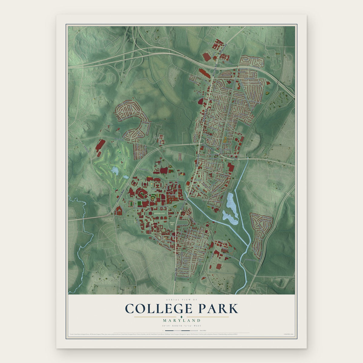
College Park, Maryland Map Art
Building by building, with labeled streets and shaded relief.
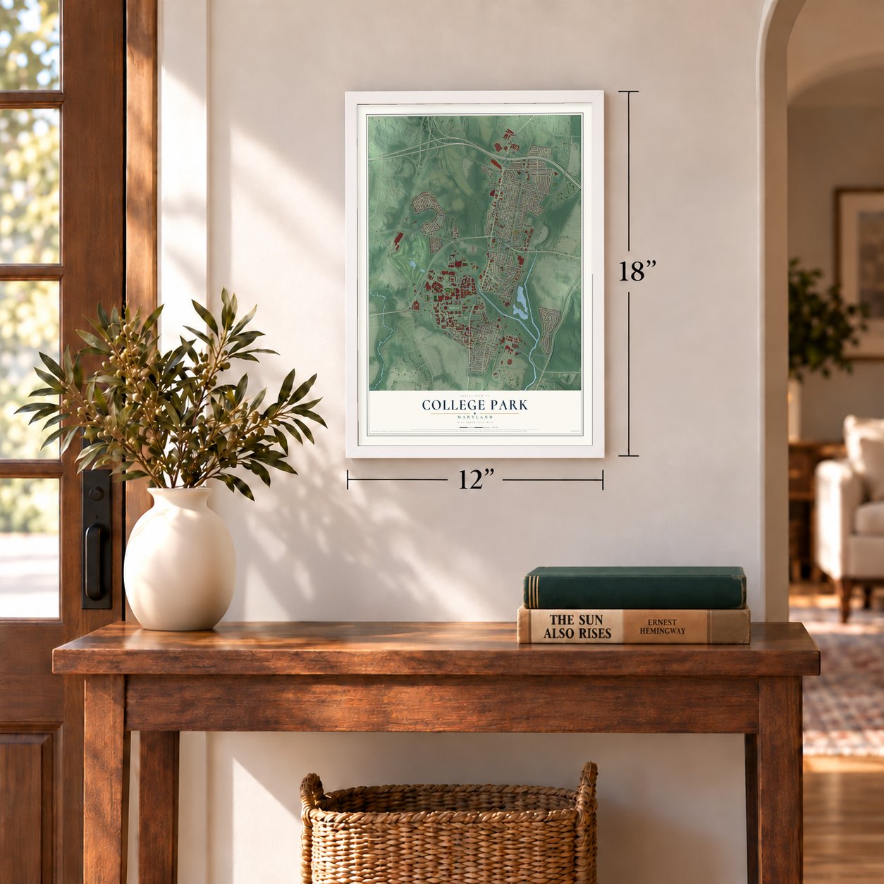
12" x 18" Archival Matte Print
A Map of Home. A Work of Art.
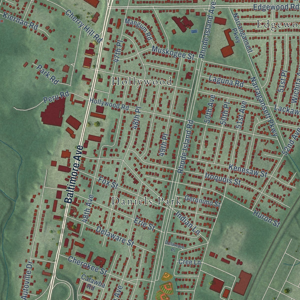
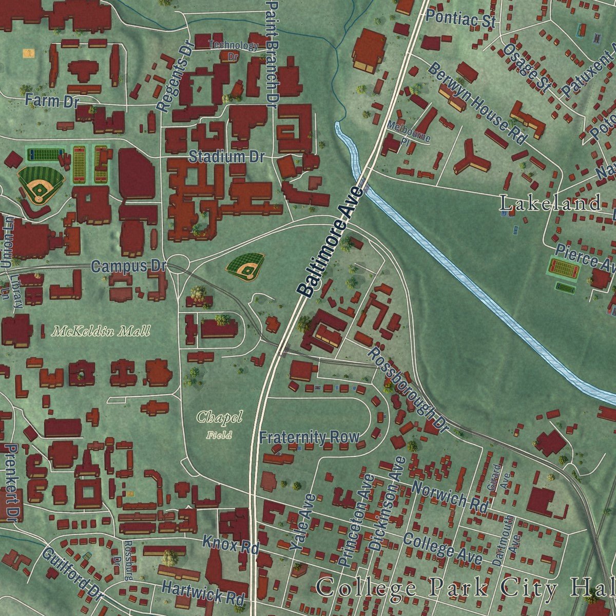
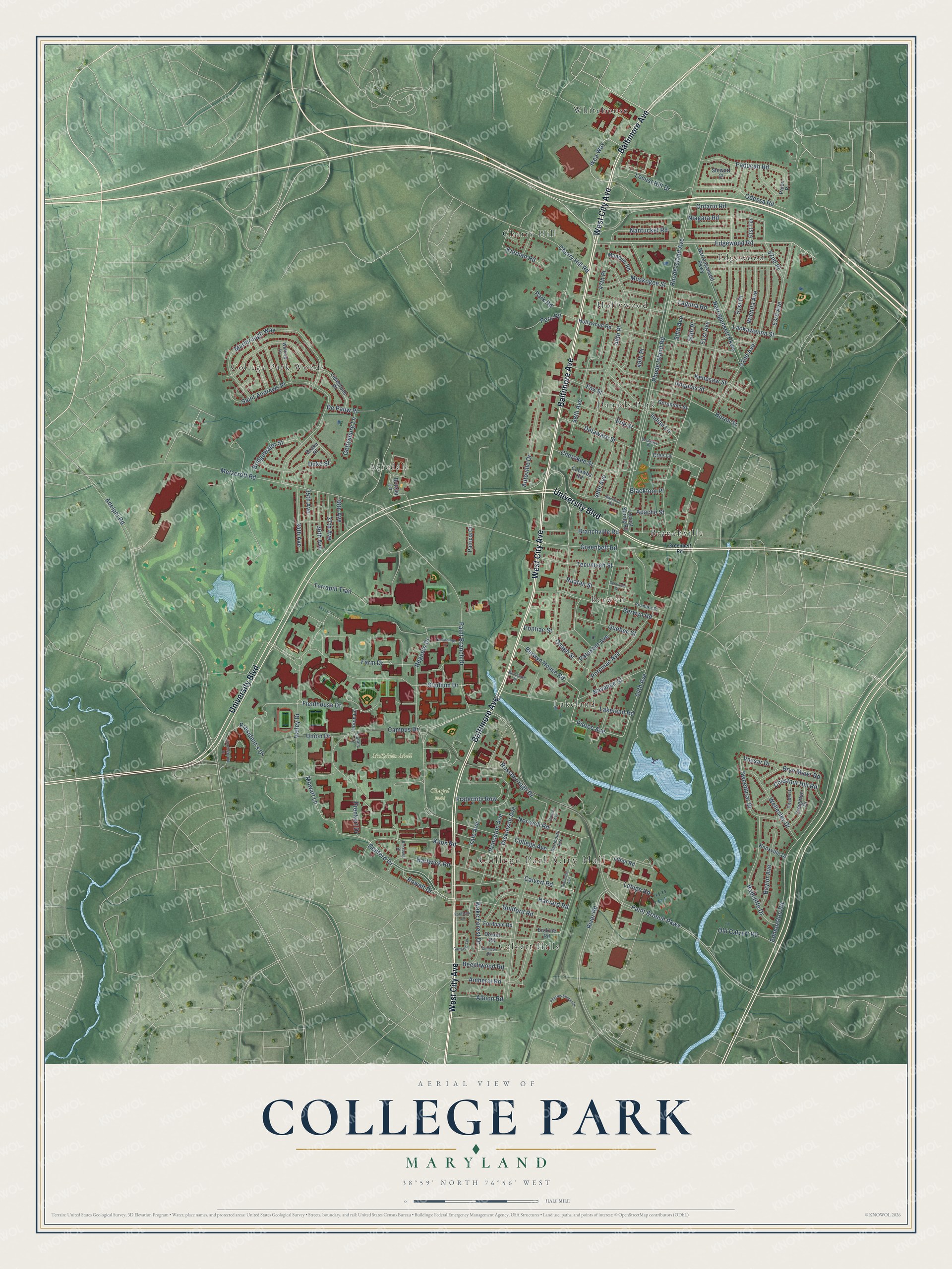
Explore College Park, Maryland from a whole new perspective. Created using aerial imagery and detailed geographic data, this map captures College Park building by building, with labeled streets, familiar landmarks, and shaded topographical relief that highlights the natural contours of the landscape.
Combining modern data with the timeless character of a vintage atlas, this map is just as interesting up close as it is beautiful on the wall. Whether you grew up in College Park, spent memorable years there, or call it home today, this unique map is a great way to celebrate a place that means something to you. Zoom in on the preview to look for your street, and then order a print to put your memories on the wall.
Three ways to hang it
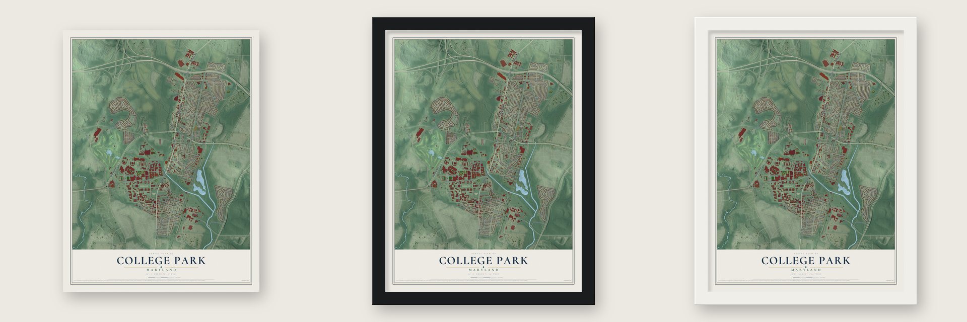
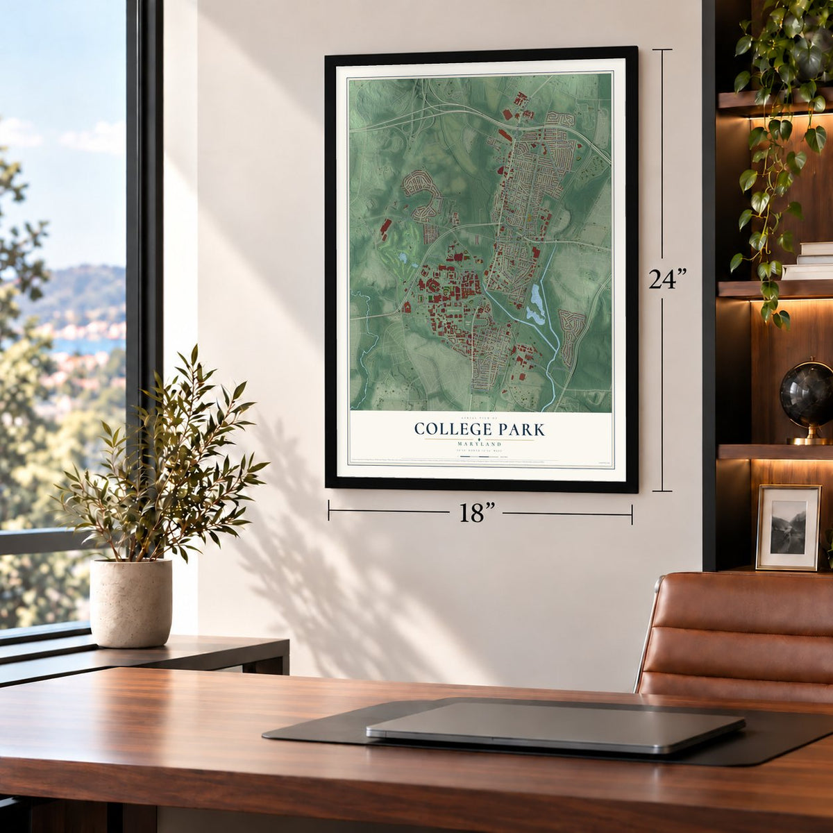
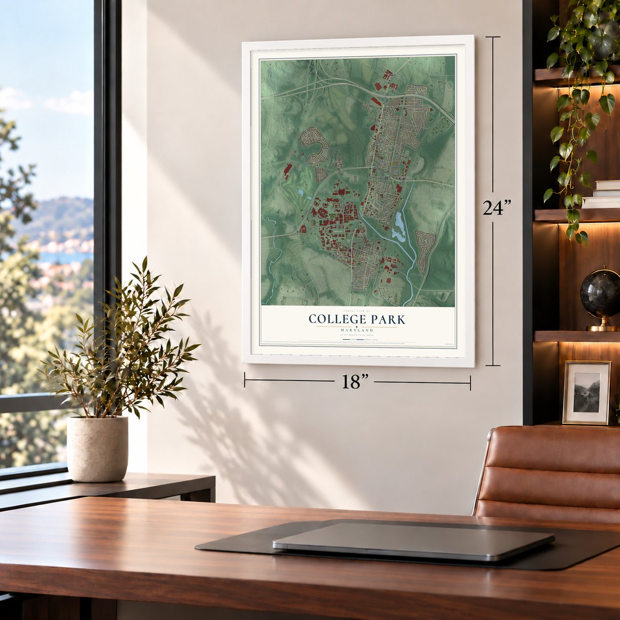
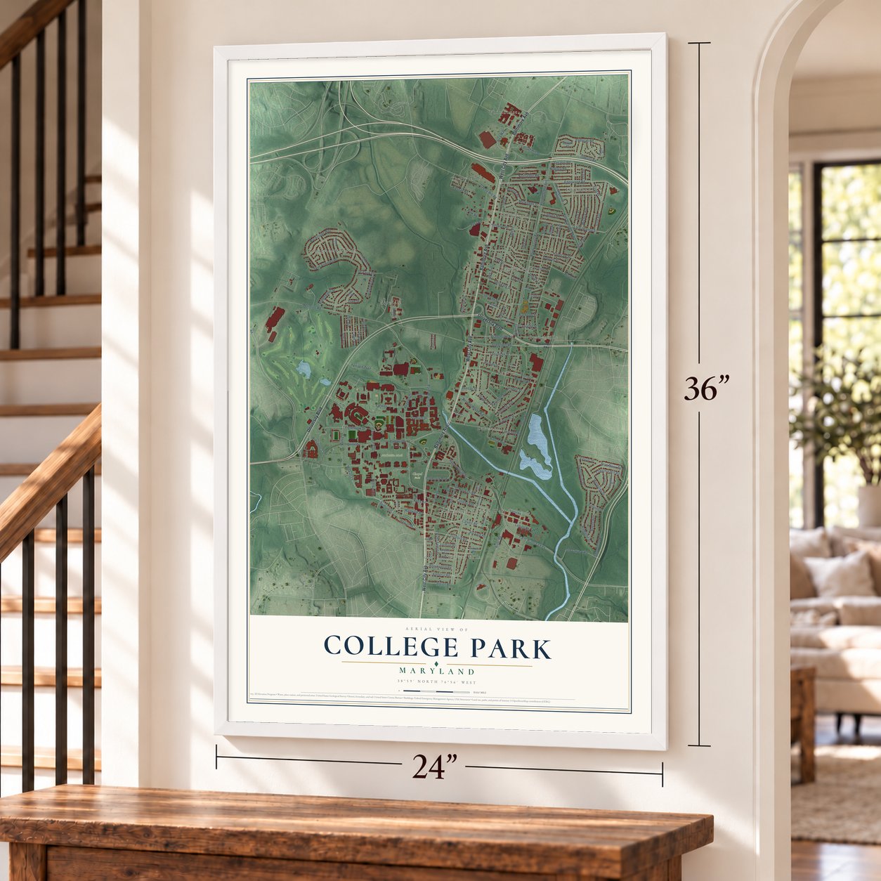
Unframed archival matte, a black wood frame or a white wood frame.
Up close
Geography Worth Displaying
This map was created using accurate cartographic data and authoritative geographic sources, including the U.S. Geological Survey and the Census Bureau. The map brings together terrain, waterways, roads, and building detail. The majority of the streets are labeled, houses are accurately depicted, and the topography is derived from government sources. Combining local data with carefully composed color and shading leads to this beautifully detailed College Park artwork for your wall.
Rather than simply showing street outlines, we’ve included as many of the street names as we could reasonably fit on the map while keeping their names legible. Zoom in on the high resolution preview to see exactly what’s on the map. We truly set out to create a statement piece for anyone who loves College Park. So whether it’s for you, or a gift for someone you love, we hope this map of College Park brings back fond memories.
Read the story behind this map of College Park, Maryland from 2026.
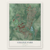
Find your street
Names on the College Park map
Every name below is printed on this map. Look for your street, your school, the park where you played, or the pond down the road.
Places and landmarks14
- College Park City Hall
- Chapel Field
- McKeldin Mall
- Acredale
- Berwyn
- Branchville
- Calvert Hills
- Cherry Hill
- College Park Woods
- Daniels Park
- Edgewood
- Hollywood
Show all 14 places
- Lakeland
- Whitehouse
Streets and roads154
- Baltimore Avenue
- West City Avenue
- University Boulevard
- Edgewood Road
- Ikea Way
- Guilford Drive
- Guilford Road
- 52nd Avenue
- Osage Street
- Rhode Island Avenue
- 48th Avenue
- Fieldhouse Drive
- Pierce Avenue
- Regents Drive
- Berwyn House Road
- 52nd Place
- 51st Avenue
- Calvert Road
- Tecumseh Street
- 54th Avenue
- President's Drive
- Ontario Road
- Paint Branch Parkway
- Adelphi Road
- Campus Drive
- 49th Avenue
- Metzerott Road
- 48th Place
- River Road
- Stadium Drive
Show all 154 streets
- Saint Andrews Place
- Valley Drive
- Lackawanna Street
- Marlbrough Way
- Paint Branch Drive
- 50th Place
- Edmonston Road
- Knox Road
- College Avenue
- Rhode Island Road
- 51st Place
- Terrapin Trail
- Narragansett Parkway
- Autoville Drive
- Iroquois Street
- 49th Place
- Yale Avenue
- Erie Street
- Indian Lane
- Lakeland Road
- Farm Drive
- Berwyn Road
- Branchville Road
- Cherokee Street
- Fox Street
- Radcliffe Drive
- Huron Street
- Hartwick Road
- Muskogee Street
- 53rd Avenue
- Niagara Road
- Duke Street
- Nantucket Road
- 47th Place
- Rossborough Drive
- Delaware Street
- Greenbelt Road
- Mowatt Lane
- Kenesaw Street
- Wellesley Drive
- Harvard Road
- Odessa Road
- Fraternity Row
- Paducah Road
- Bryn Mawr Road
- Norwich Road
- Cherry Hill Road
- Prenkert Drive
- Potomac Avenue
- Lehigh Road
- Locust Hill Drive
- Quebec Street
- Sweetbriar Drive
- 50th Avenue
- Baylor Avenue
- Laguna Road
- Navahoe Street
- Princeton Avenue
- Dickinson Avenue
- Amherst Road
- Peru Road
- Bridgewater Street
- Wichita Avenue
- 34th Avenue
- Wake Forest Drive
- 35th Avenue
- 36th Avenue
- Old Calvert Road
- Beechwood Road
- Chestnut Hill Road
- Pontiac Street
- Patuxent Avenue
- Albion Road
- Union Drive
- Ruatan Street
- 37th Avenue
- Gettysburg Lane
- Rowalt Drive
- Kiernan Road
- Vassar Drive
- Park Road
- Apache Street
- 38th Avenue
- Blackfoot Place
- De Pauw Place
- Limestone Place
- Hollywood Road
- Boteler Lane
- Mangum Road
- Drexel Road
- Fordham Road
- Creighton Drive
- Narrangansett Parkway
- Geronimo Street
- Locust Spring Road
- Knoxville Drive
- Stewart Court
- Patricia Court
- 51st Terrace
- Drake Place
- Erskine Road
- Union Lane
- Palco Place
- Litton Road
- Catawba Road
- Cree Lane
- Dartmouth Avenue
- Roanoke Place
- Wofford Lane
- Citadel Drive
- Library Lane
- Blackfoot Road
- Columbia Avenue
- Ehrensberger Drive
- Technology Drive
- Carleton Terrace
- Physics Ellipse Drive
- Clemson Road
- Fordham Lane
- Rossburg Drive
- Melbourne Place
- Girard Avenue
- Seminole Street
- Delaware Place
Names are listed as they appear on the printed map. Zoom into the product photos to find them.
About College Park, Maryland
College Park is a city of 34,740 people in Prince George's County, about four miles from the edge of Washington, D.C. The Maryland Agricultural College was chartered here in 1856 and was named a land grant school in February 1864. That college grew into the University of Maryland, and the town grew up beside it.
Eugene Campbell first platted the College Park subdivision in 1872, and early maps called its post office College Lawn. Little was built, so in 1889 two Washington developers, John O. Johnson and Samuel Curriden, laid out the 125-acre tract again as a street grid with long, narrow lots, most 50 by 200 feet. By the turn of the century, houses were rising fast for college staff and for families leaving crowded Washington. The city incorporated in 1945 and built a municipal center in 1959.
- Flying since 1909The U.S. Army Signal Corps opened College Park Airport in 1909 so Wilbur Wright could teach military officers to fly the government's first airplane. Civilian planes were using the field by December 1911, and it has run without a break ever since, making it the oldest such airport in the world. The College Park Aviation Museum, a Smithsonian affiliate, sits beside it.
- Lakeland, begun in 1890Edwin Newman laid out 238 acres west of the railroad in 1890, hoping for a resort. The low ground flooded, so Black families settled there instead, and by 1903 they had built two churches and a school. Lakeland High School opened in 1928 and served all Black students in the county's northern half until 1950. Urban renewal from the 1960s through the 1980s, opposed by residents, displaced 104 of 150 households. On June 9, 2020, the city formally apologized.
- The Rossborough Inn, 1803Completed in 1803, the Rossborough Inn is the oldest building still standing in College Park. The Old Parish House, from 1817, started out as a farm building on the Calvert family's Riversdale estate.
- Senators spring trainingIn 1943, wartime limits meant to save rail travel kept spring training camps east of the Mississippi and north of the Ohio, so the Washington Senators trained in College Park that year.
Keep exploring Maryland
College Park is one of 874 Maryland towns we've mapped. Every dot on the map is a print of its own.
The search covers every state, Maryland first.
Near College Park
Order 2 or more town maps and save 10%. Shown in the size and finish you picked above, so they hang as a set.
- Berwyn Heights 12" x 18" / Archival Matte Print $39.99
- Adelphi 12" x 18" / Archival Matte Print $39.99
- University Park 12" x 18" / Archival Matte Print $39.99
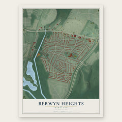

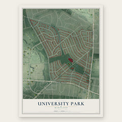
More maps nearby: Riverdale Park, Langley Park, Hyattsville, Greenbelt and East Riverdale.
The art of mapping a place
How This Map Was Made
Real places. Remarkable detail. Discover the layers that turn geographic data into a map of home.

The view from above
Aerial imagery reveals the character of the land: woodland, open fields, and the patterns of a place.

The shape of the land
Elevation data brings hills, valleys, and subtle changes in the landscape into view.

The details of home
Roads, waterways, and building footprints come together to make the map feel unmistakably local.

Geography becomes art
Considered color, shading, and typography bring the layers together in a map made for your wall.


Process illustrated with Mendon, Massachusetts. Aerial imagery: USDA NAIP. Terrain: USGS 3D Elevation Program. Map details and finished artwork: KNOWOL.
The Details
About This Print
Choose an archival matte print, or a black or white Ayous wood frame. The archival matte print is unframed.
Select your size and finish above to see the matching product image and price.
Materials & Craftsmanship
A contemporary map with the character of a classic atlas, printed on archival matte paper. Optional frames are made from Ayous wood.
Your printed map does not include the watermark shown in the full-map preview.
Shipping & Delivery
Free shipping within the United States. Every print is made to order in the USA.
Buying a gift? Add a note in your cart and we'll include it. We never put prices in the package.
Prints ship within 2 to 3 business days. Allow 7 to 10 days total from ordering for delivery. Timing may vary during holidays or periods of high order volume.
Read our shipping policy.
Returns and damaged prints
Each print is made to order. Change-of-mind refunds are not available after production.
If your print arrives damaged, misprinted or incorrect, contact support@knowol.com within 30 days of receiving it. Include your order number, photos and a description of the issue.
Read our full refund and replacement policy. For questions about your order, email support@knowol.com.