
Search for another town
Free U.S. delivery 7 to 10 days after you order
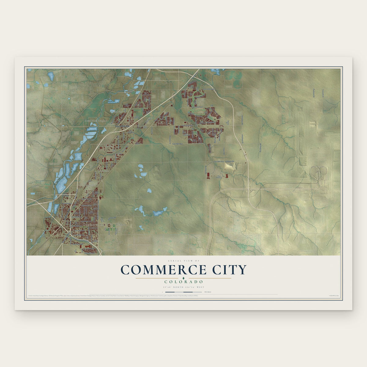
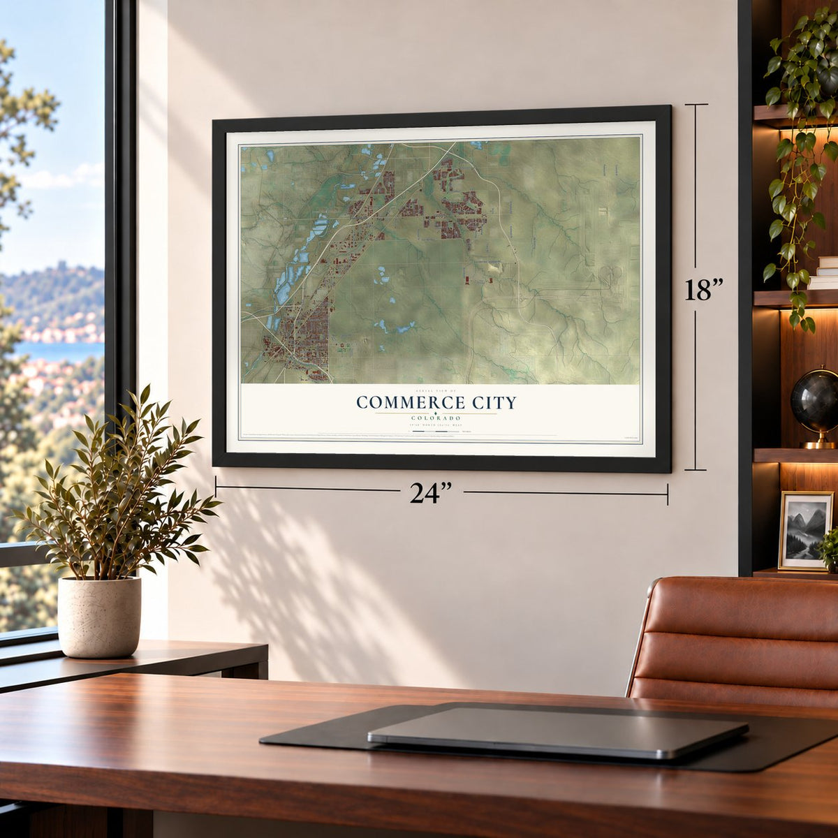
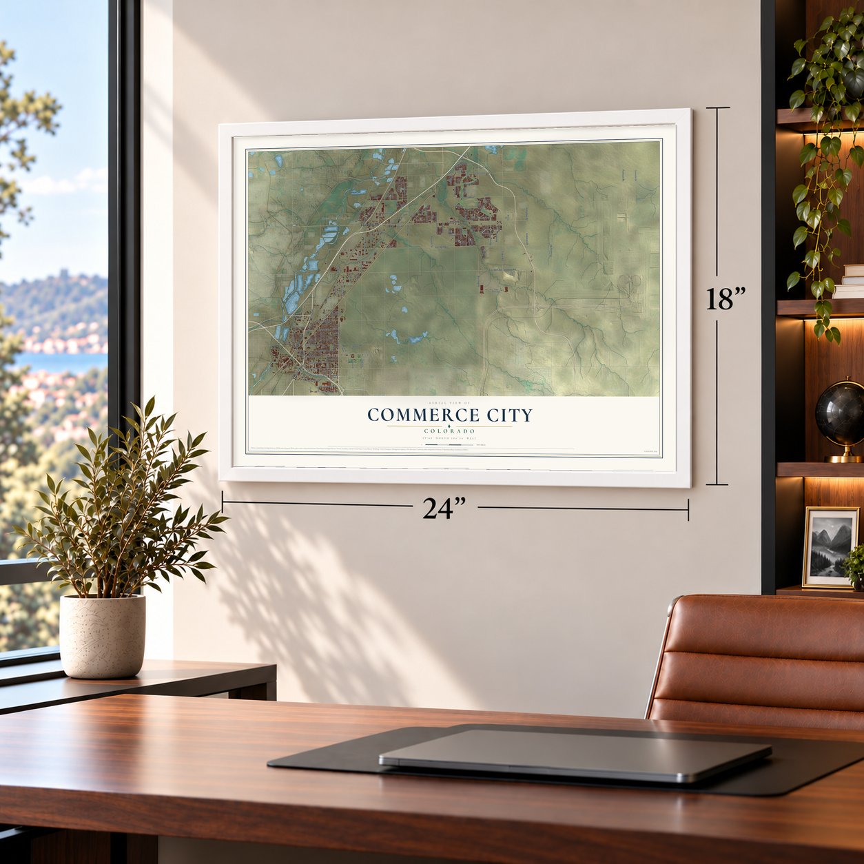
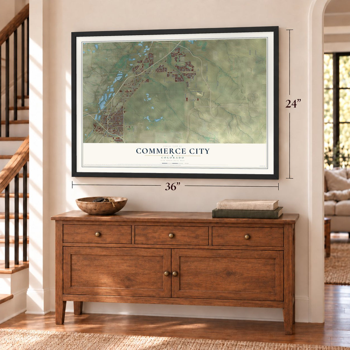
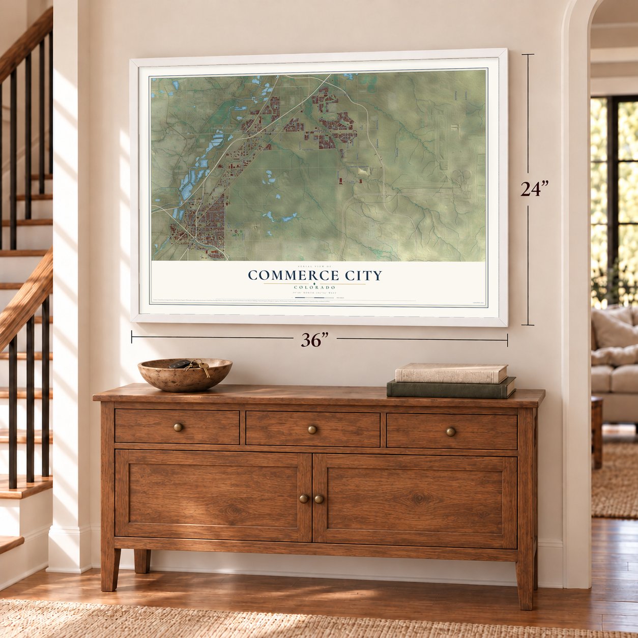
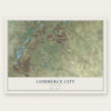
Commerce City, Colorado Map Art
Building by building, with labeled streets and shaded relief.
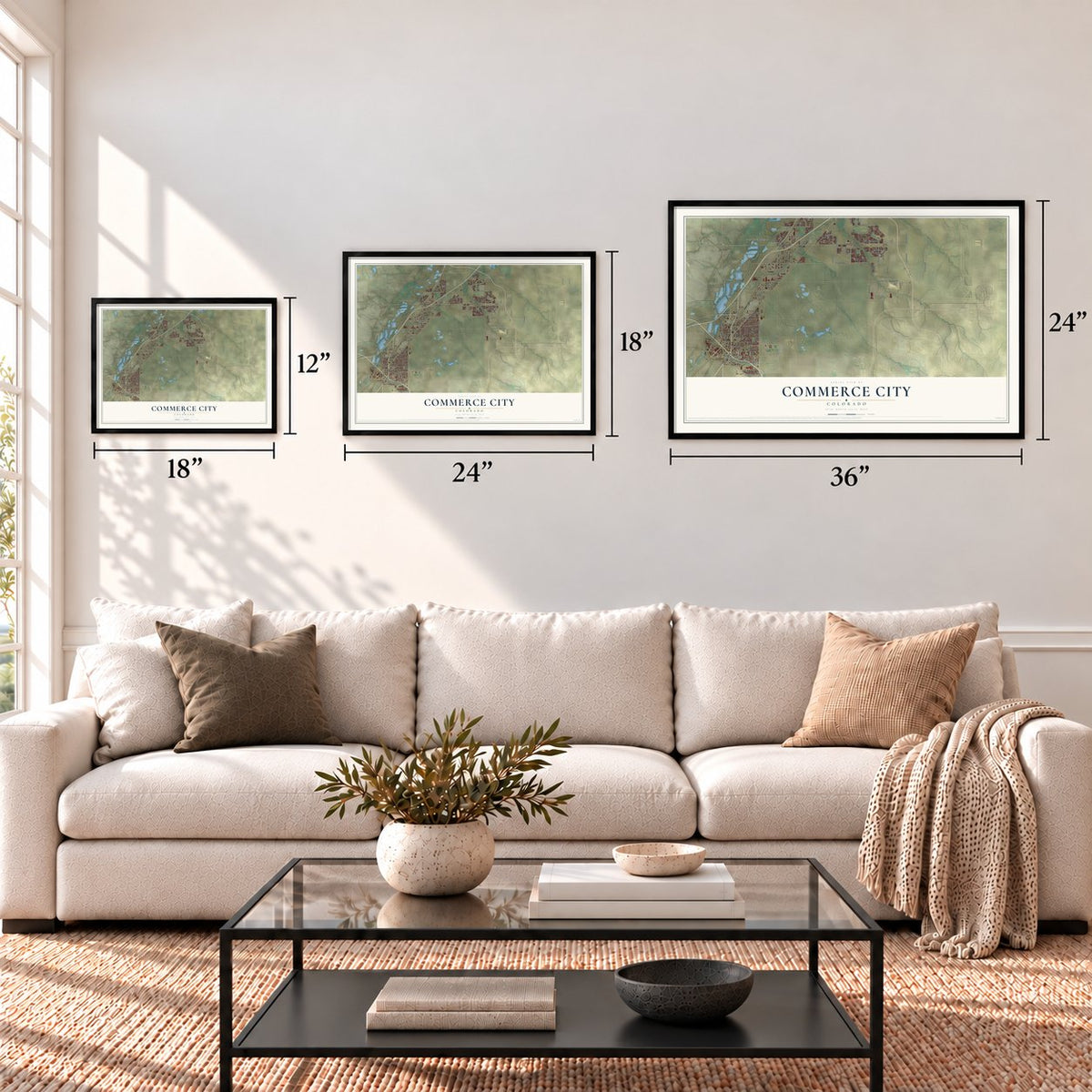
12" x 18" Archival Matte Print
A Map of Home. A Work of Art.
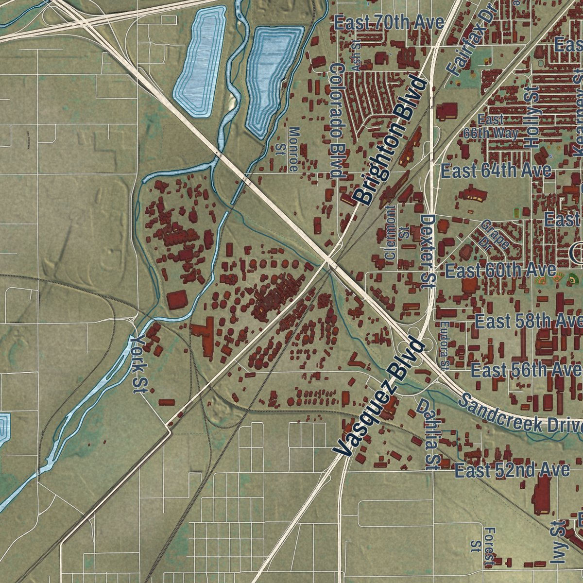
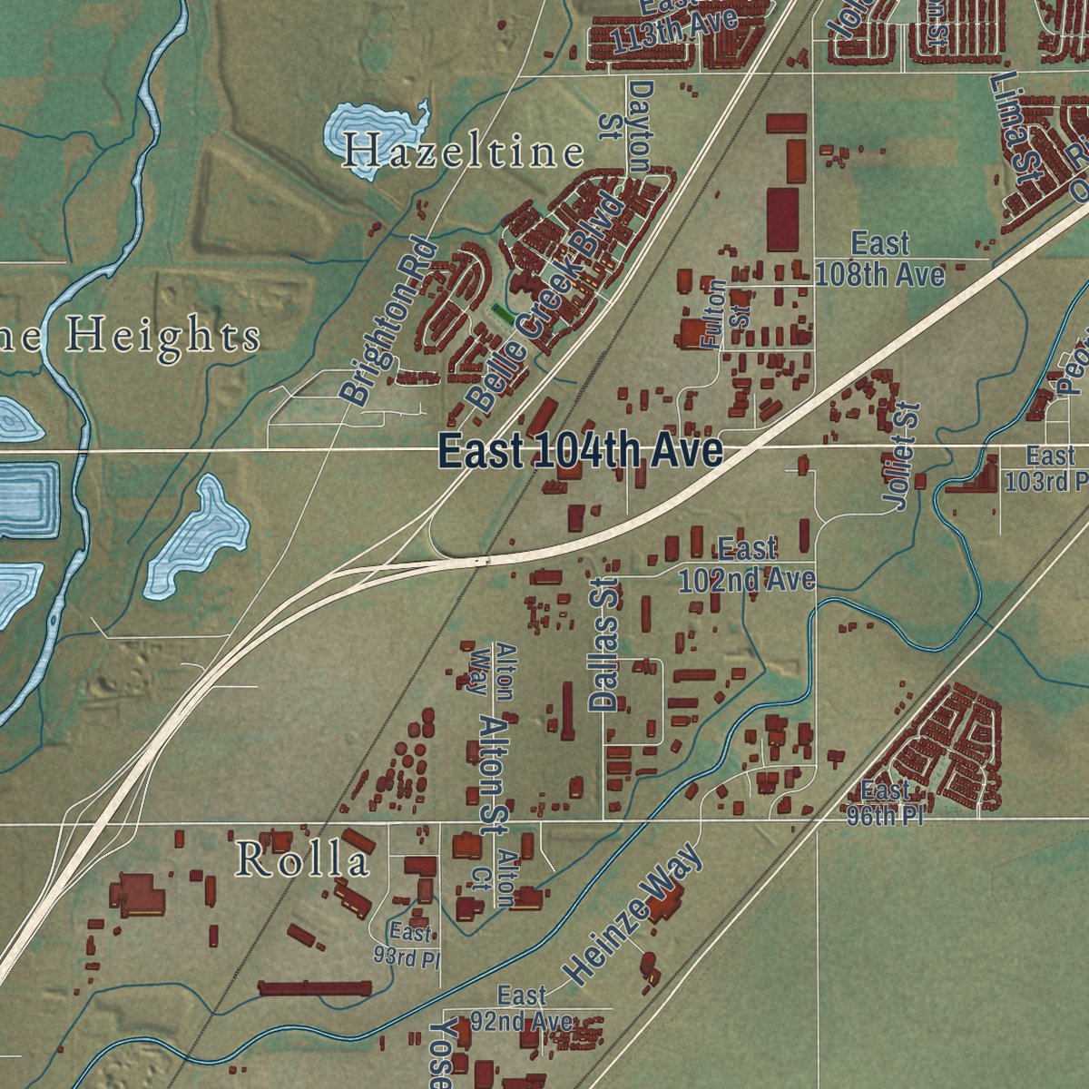
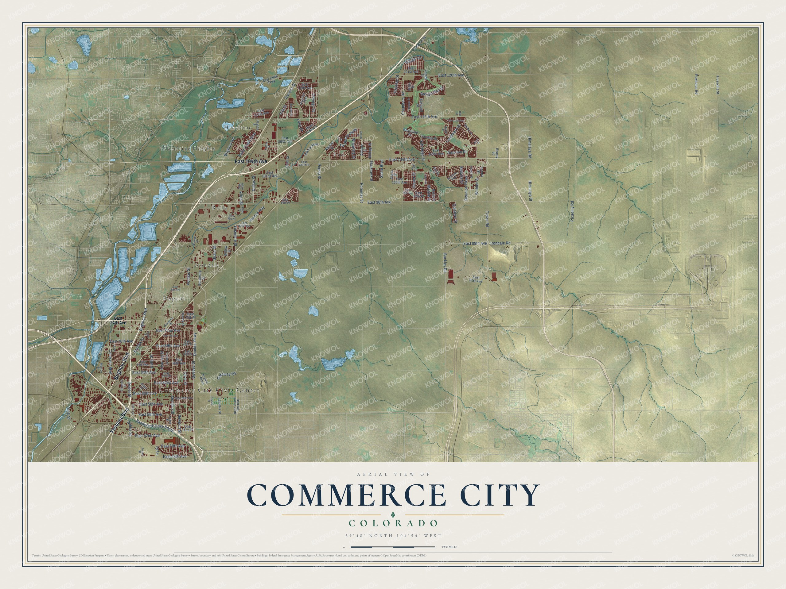
Explore Commerce City, Colorado from a whole new perspective. Created using aerial imagery and detailed geographic data, this map captures Commerce City building by building, with labeled streets, familiar landmarks, and shaded topographical relief that highlights the natural contours of the landscape.
Combining modern data with the timeless character of a vintage atlas, this map is just as interesting up close as it is beautiful on the wall. Whether you grew up in Commerce City, spent memorable years there, or call it home today, this unique map is a great way to celebrate a place that means something to you. Zoom in on the preview to look for your street, and then order a print to put your memories on the wall.
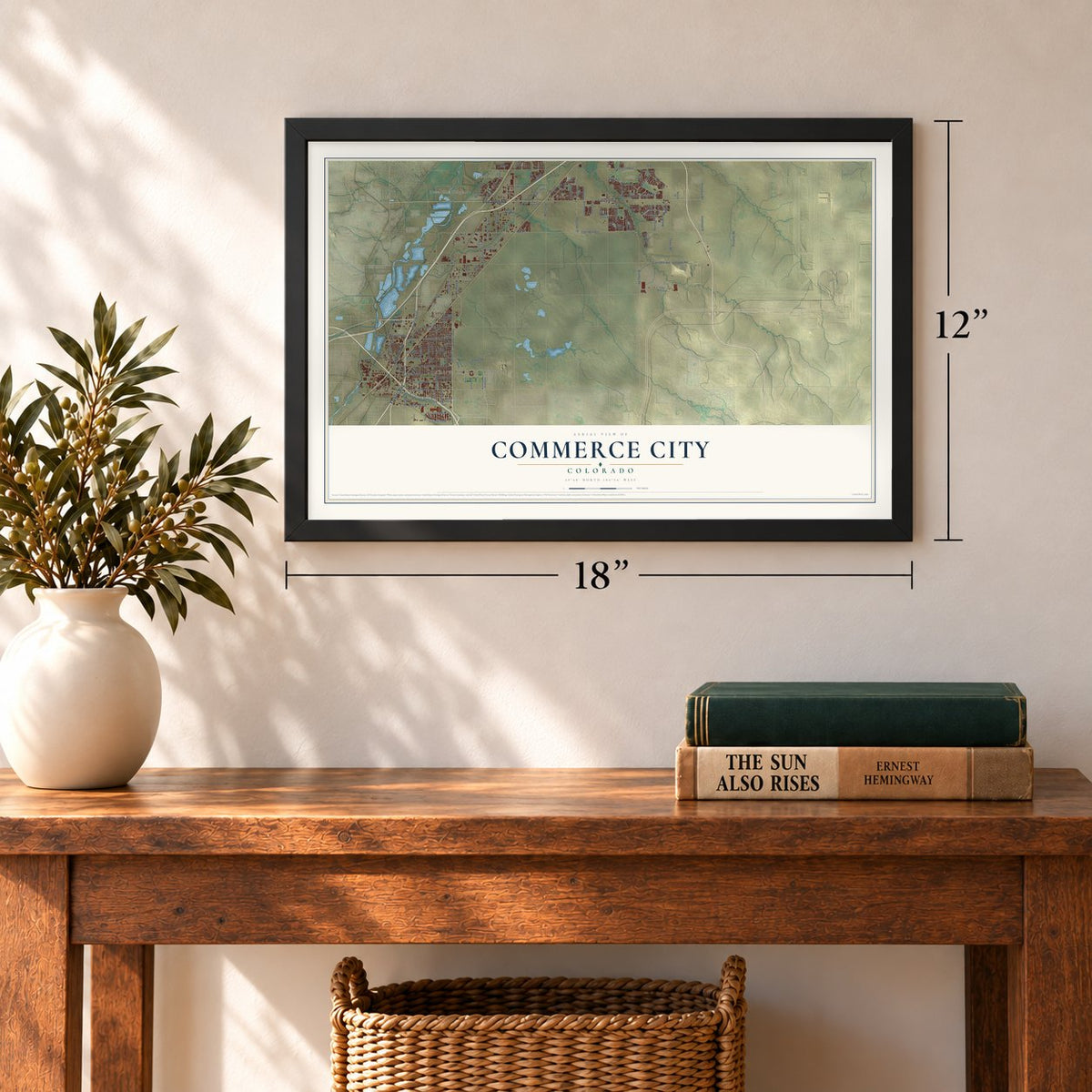
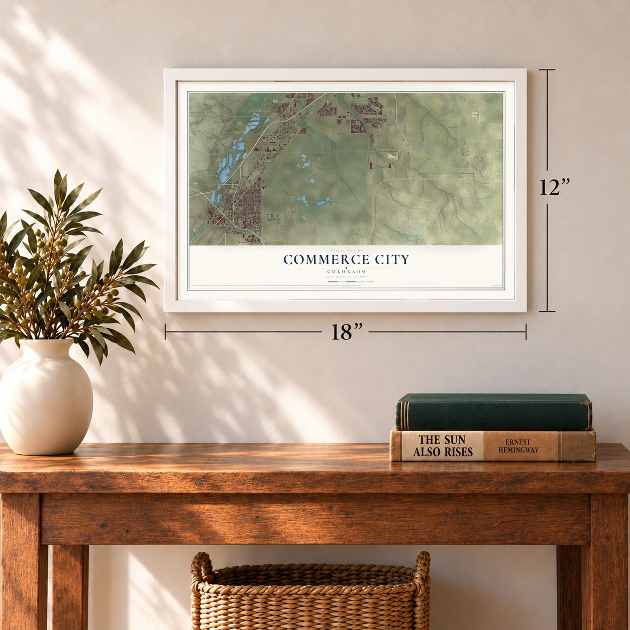
Three ways to hang it
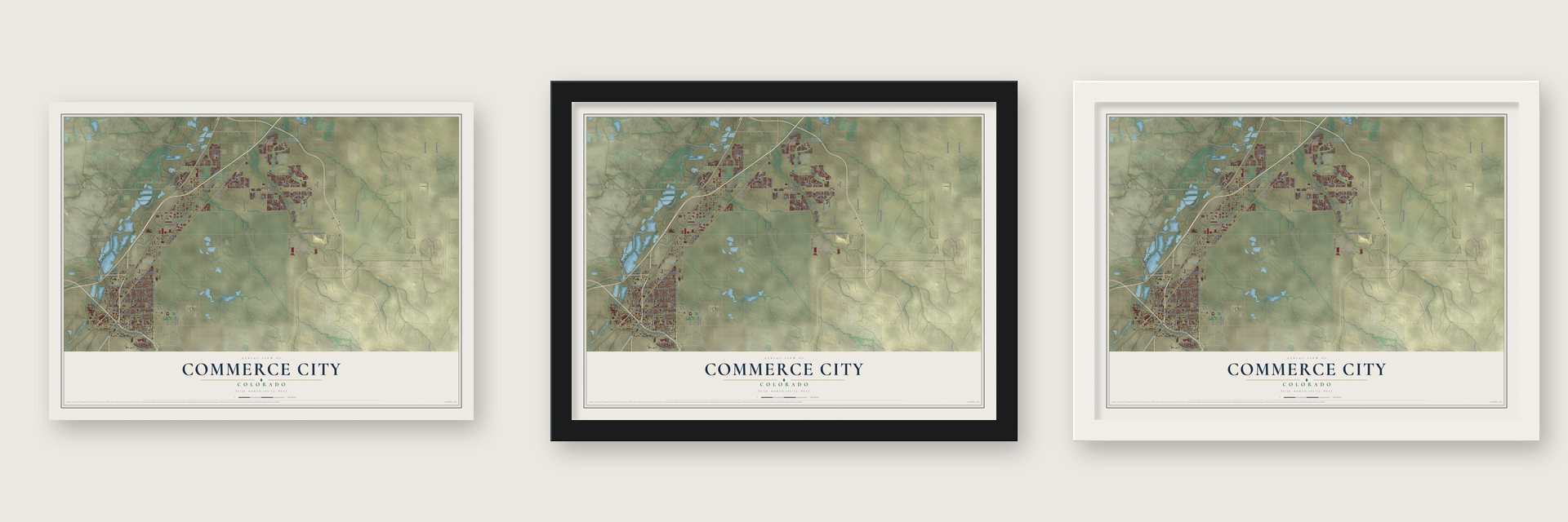
Unframed archival matte, a black wood frame or a white wood frame.
Up close
Geography Worth Displaying
This map was created using accurate cartographic data and authoritative geographic sources, including the U.S. Geological Survey and the Census Bureau. The map brings together terrain, waterways, roads, and building detail. The majority of the streets are labeled, houses are accurately depicted, and the topography is derived from government sources. Combining local data with carefully composed color and shading leads to this beautifully detailed Commerce City artwork for your wall.
Rather than simply showing street outlines, we’ve included as many of the street names as we could reasonably fit on the map while keeping their names legible. Zoom in on the high resolution preview to see exactly what’s on the map. We truly set out to create a statement piece for anyone who loves Commerce City. So whether it’s for you, or a gift for someone you love, we hope this map of Commerce City brings back fond memories.
Read the story behind this map of Commerce City, Colorado from 2026.
Find your street
Names on the Commerce City map
Every name below is printed on this map. Look for your street, your school, the park where you played, or the pond down the road.
Places and landmarks7
- Commerce City Civic Center
- Eno
- Rolla
- Irondale
- Dupont
- Hazeltine Heights
- Hazeltine
Streets and roads151
- Vasquez Boulevard
- Brighton Boulevard
- East 104th Avenue
- East 96th Avenue
- Quebec Parkway
- Quebec Street
- Monaco Street
- East 56th Avenue
- Buckley Road
- East 69th Avenue
- York Street
- Brighton Road
- Oswego Street
- Dallas Street
- East 112th Avenue
- Tower Road
- East 120th Avenue
- East 88th Avenue
- Havana Street
- Chambers Road
- East 60th Avenue
- Potomac Street
- Olive Street
- East 64th Avenue
- Reunion Parkway
- Holly Street
- Irondale Road
- East 72nd Avenue
- Jasper Street
- Landmark Drive
Show all 151 streets
- Pontiac Street
- Newport Street
- Sandcreek Drive South
- East 70th Avenue
- Peoria Street
- Colorado Boulevard
- East 58th Avenue
- Kittredge Street
- Quintero Street
- East 62nd Avenue
- Kearney Street
- Walden Street
- Yosemite Street
- Ivy Street
- Belle Creek Boulevard
- East 52nd Avenue
- Heinze Way
- East 48th Avenue
- Himalaya Street
- Himalaya Road
- Picadilly Road
- Mobile Street
- Dahlia Street
- Turnberry Parkway
- Sedalia Street
- Dexter Street
- Lima Street
- Gateway Road
- East 50th Avenue
- Fairplay Street
- Village Circle
- Alton Street
- Fairfax Drive
- Buffalo Run Drive
- Ulster Street
- Wheeling Street
- Reunion Drive
- Sable Boulevard
- Iola Street
- East 74th Avenue
- Rosemary Street
- Prairie Parkway
- East 97th Place
- East 105th Avenue
- East 108th Avenue
- Oneida Street
- East 100th Avenue
- East 102nd Avenue
- East 113th Avenue
- Kalispell Street
- East 118th Avenue
- Fairway Drive
- Nucla Street
- Heartland Drive
- Idalia Street
- Laredo Street
- Blackhawk Street
- East 120th Parkway
- East 66th Avenue
- East 81st Avenue
- Cameron Drive
- Joliet Street
- River Oaks Lane
- Valentia Street
- Peoria Parkway
- East 74th Place
- Dayton Street
- Altura Street
- East 121st Avenue
- Powhaton Road
- Trussville Street
- Yampa Street
- Billings Street
- Abilene Street
- East 53rd Place
- Unity Lane
- Racine Street
- Willow Street
- Biscay Street
- North Central Park Boulevard
- East 96th Place
- Ouray Street
- Norfolk Street
- Locust Street
- Joplin Street
- River Run Parkway
- Leyden Street
- Helena Street
- East 103rd Place
- East 67th Place
- Uravan Street
- Clermont Street
- Forest Street
- East 59th Avenue
- Alton Way
- East 63rd Place
- East 69th Place
- Quince Street
- Krameria Drive
- East 92nd Avenue
- East 66th Way
- Kenton Street
- Monroe Street
- Fulton Street
- Grape Drive
- Alton Court
- Southlawn Parkway
- East 111th Avenue
- Waco Street
- East 98th Avenue
- East 71st Avenue
- Grape Street
- Lewiston Street
- Ash Street
- Xanadu Street
- Troy Street
- Trenton Street
- East 80th Avenue
- Rifle Street
- Eudora Street
- East 93rd Place
Names are listed as they appear on the printed map. Zoom into the product photos to find them.
About Commerce City, Colorado
Commerce City is a city of 62,418 people in Adams County, just north of Denver. John D. "Colonel Jack" Henderson, a veteran of the Bleeding Kansas fighting, built a ranch, trading post and hotel in 1859 on Henderson Island, which sits in the South Platte. He sold meat and supplies to gold seekers heading up the river trail during the Pikes Peak Gold Rush, and his post became the valley's first permanent settlement between Fort Saint Vrain and the Cherry Creek Diggings.
Wheat fields, dairies and pig farms covered the area until the late 1920s. Then industry arrived: a refinery opened in 1930, grain elevators rose later that decade, and the Rocky Mountain Arsenal was founded in 1942 just east of the growing community. When Denver was weighing whether to annex the area in 1951, residents drew up a plan to incorporate instead, and in July 1952 they voted 251 to 24 to form Commerce Town. It took the name Commerce City in 1970, and in April 2007 voters chose by more than 2 to 1 to keep it.
- Towns that came and wentDerby started as a Burlington Railroad station in 1887, became a laid-out town in 1889 and stood mostly empty by 1891. Irondale, settled in 1889, took its name from a foundry opened that year; it incorporated in 1924, then lost its town status in the 1930s as residents left. Adams City was platted in 1903, hoping to become the county seat, but Brighton won the 1904 vote, and the town of Adams City was vacated in 1922.
- Cemeteries came firstSome of the earliest landmarks here were cemeteries. Riverside Cemetery, founded in 1876, lies at East 52nd Avenue and Brighton Boulevard, in the southwest corner of the city. The United Hebrew Cemetery Association laid out Rose Hill Cemetery in 1892 on what was then open prairie, and the neighborhood that grew around it became part of Commerce Town in 1952.
- A school since 1871Classes began here in a one-room schoolhouse in 1871, and more schools followed in 1899 and 1907. The 1907 building survives as part of the North Building on the old Adams City High School grounds, which now hold the Adams 14 district offices. A new Adams City High School opened in 2009 at 72nd and Quebec, on land that had once belonged to the Rocky Mountain Arsenal.
- From arsenal to wildlife refugeThe Rocky Mountain Arsenal, founded in 1942, is now the Rocky Mountain Arsenal National Wildlife Refuge, 27 square miles of lakes, wetlands and grasslands, and its only entrance is in Commerce City. In 2004 the city bought the Prairie Gateway, 917 acres along the refuge's western edge.
Keep exploring Colorado
Commerce City is one of 550 Colorado towns we've mapped. Every dot on the map is a print of its own.
The search covers every state, Colorado first.
Near Commerce City
Order 2 or more town maps and save 10%. Shown in the size and finish you picked above, so they hang as a set.
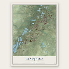
- Henderson 12" x 18" / Archival Matte Print $39.99
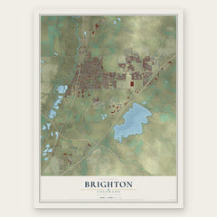
- Brighton 12" x 18" / Archival Matte Print $39.99
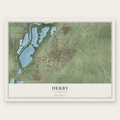
- Derby 12" x 18" / Archival Matte Print $39.99
More maps nearby: Montbello, Todd Creek, Thornton, Lochbuie and Welby.
The art of mapping a place
How This Map Was Made
Real places. Remarkable detail. Discover the layers that turn geographic data into a map of home.

The view from above
Aerial imagery reveals the character of the land: woodland, open fields, and the patterns of a place.

The shape of the land
Elevation data brings hills, valleys, and subtle changes in the landscape into view.

The details of home
Roads, waterways, and building footprints come together to make the map feel unmistakably local.

Geography becomes art
Considered color, shading, and typography bring the layers together in a map made for your wall.


Process illustrated with Mendon, Massachusetts. Aerial imagery: USDA NAIP. Terrain: USGS 3D Elevation Program. Map details and finished artwork: KNOWOL.
The Details
About This Print
Choose an archival matte print, or a black or white Ayous wood frame. The archival matte print is unframed.
Select your size and finish above to see the matching product image and price.
Materials & Craftsmanship
A contemporary map with the character of a classic atlas, printed on archival matte paper. Optional frames are made from Ayous wood.
Your printed map does not include the watermark shown in the full-map preview.
Shipping & Delivery
Free shipping within the United States. Every print is made to order in the USA.
Buying a gift? Add a note in your cart and we'll include it. We never put prices in the package.
Prints ship within 2 to 3 business days. Allow 7 to 10 days total from ordering for delivery. Timing may vary during holidays or periods of high order volume.
Read our shipping policy.
Returns and damaged prints
Each print is made to order. Change-of-mind refunds are not available after production.
If your print arrives damaged, misprinted or incorrect, contact support@knowol.com within 30 days of receiving it. Include your order number, photos and a description of the issue.
Read our full refund and replacement policy. For questions about your order, email support@knowol.com.