


Search for another town




Free U.S. delivery 7 to 10 days after you order
Douglas, Massachusetts Map Art
Building by building, with labeled streets and shaded relief.
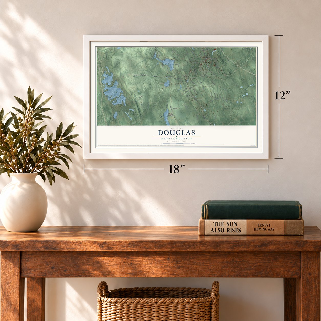
12" x 18" Archival Matte Print
A Map of Home. A Work of Art.
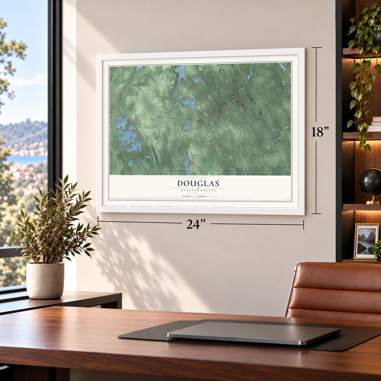
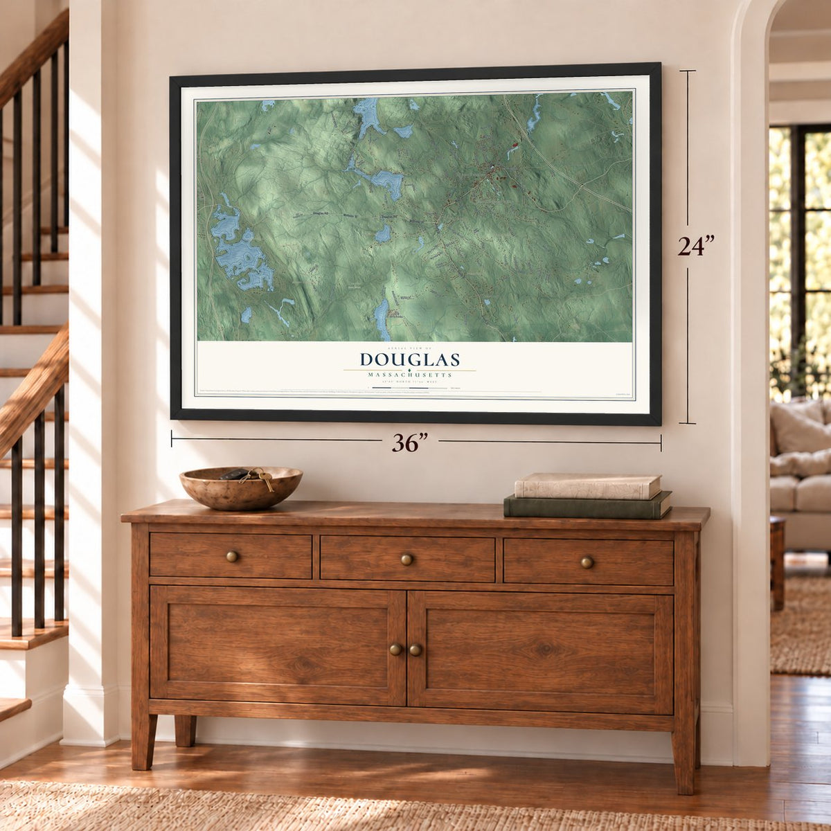
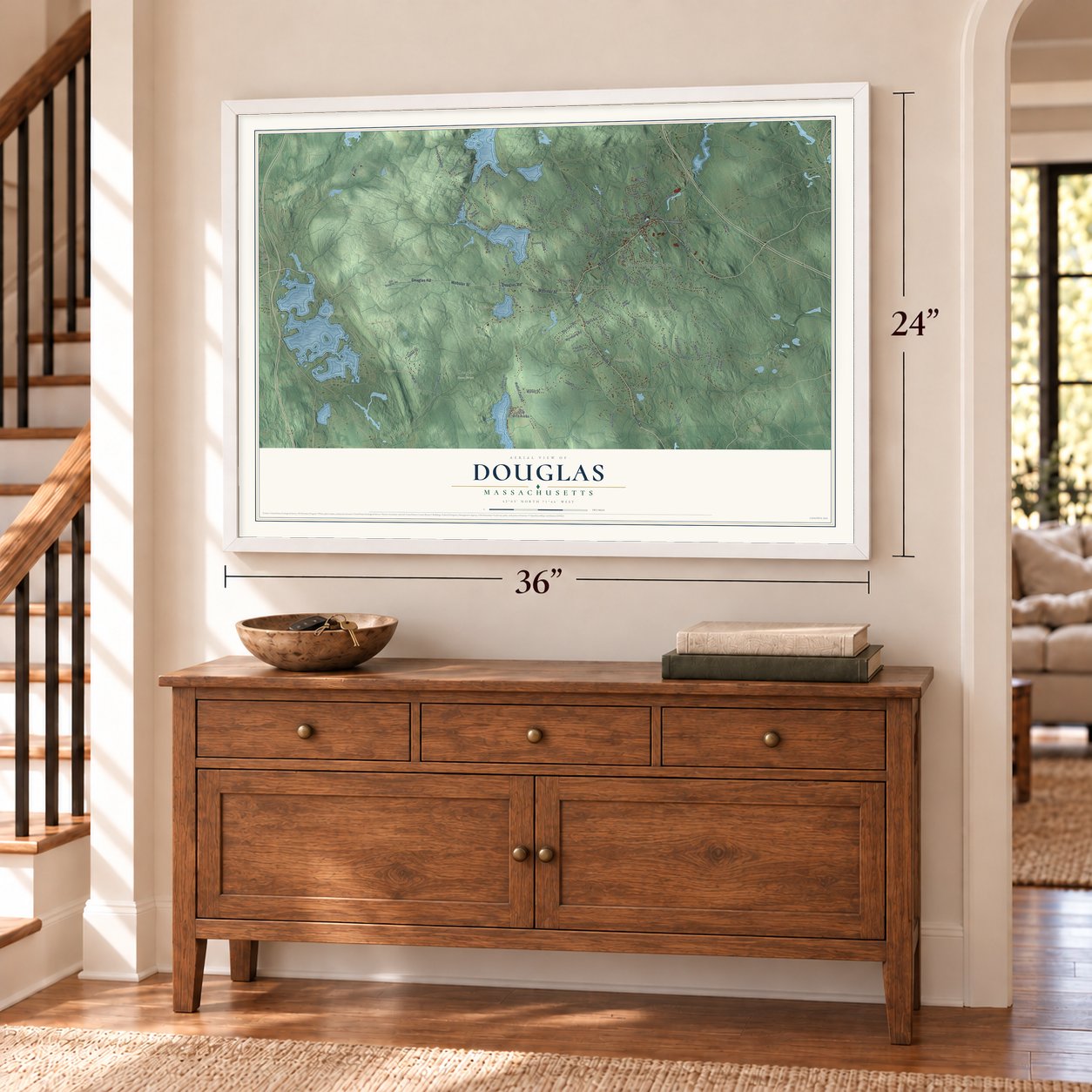
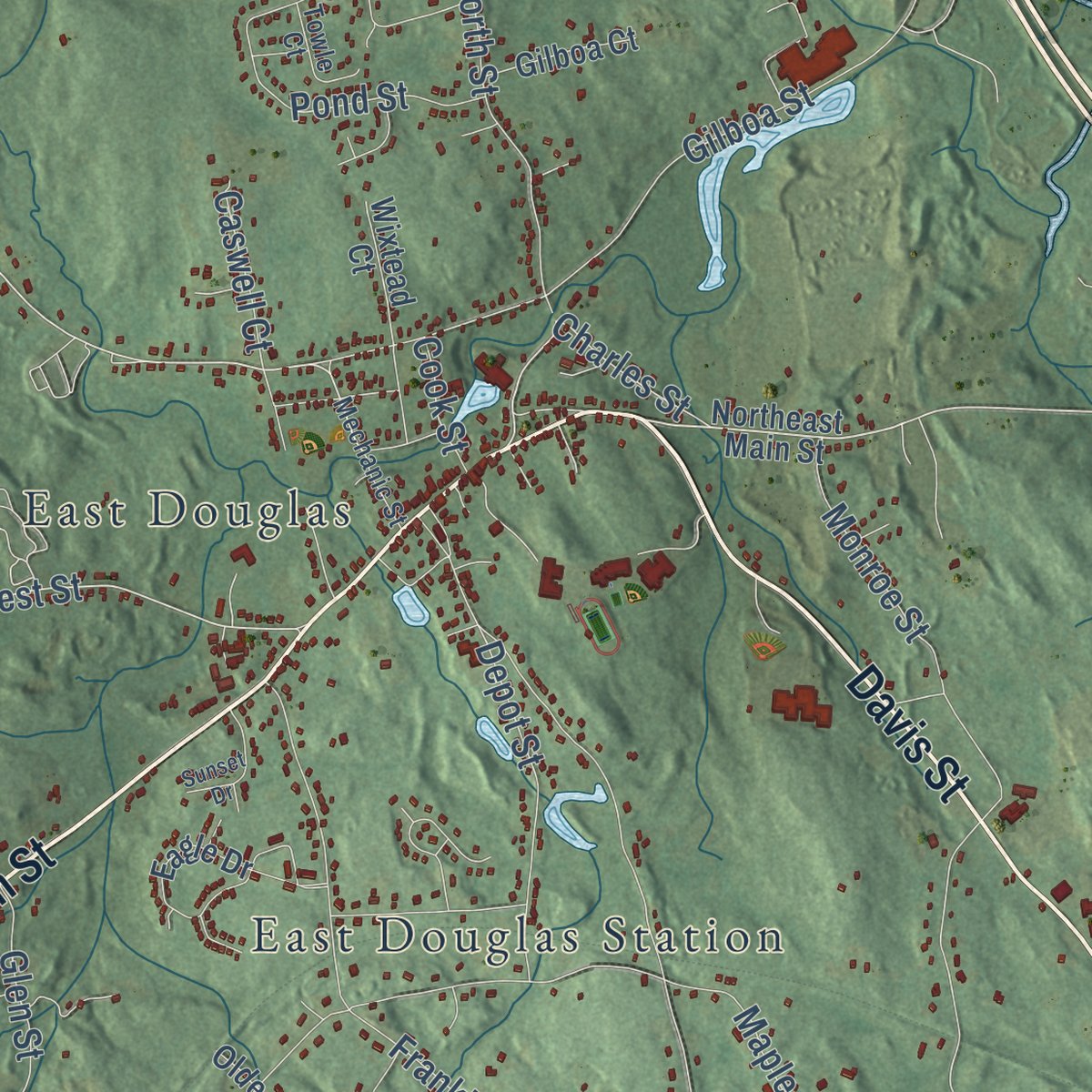
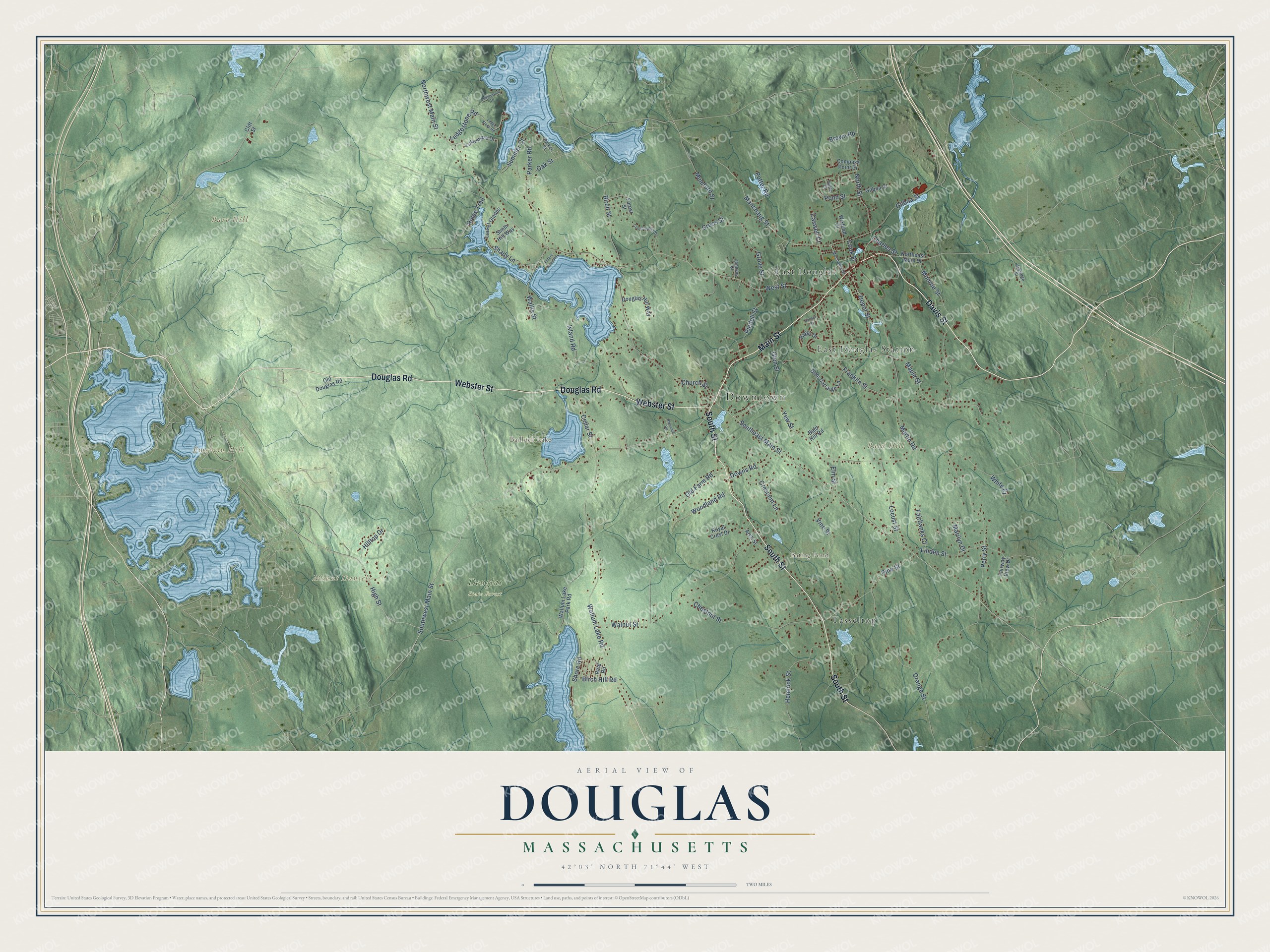
Explore Douglas, Massachusetts from a whole new perspective. Created using aerial imagery and detailed geographic data, this map captures Douglas building by building, with labeled streets, familiar landmarks, and shaded topographical relief that highlights the natural contours of the landscape.
Combining modern data with the timeless character of a vintage atlas, this map is just as interesting up close as it is beautiful on the wall. Whether you grew up in Douglas, spent memorable years there, or call it home today, this unique map is a great way to celebrate a place that means something to you. Zoom in on the preview to look for your street, and then order a print to put your memories on the wall.
Three ways to hang it
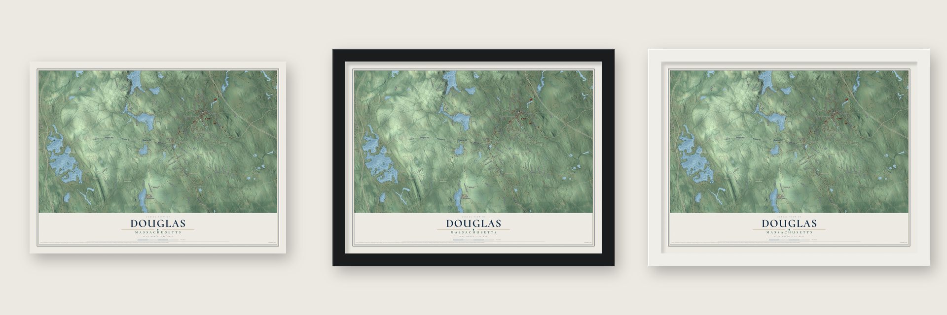
Unframed archival matte, a black wood frame or a white wood frame.
Up close
Geography Worth Displaying
This map was created using accurate cartographic data and authoritative geographic sources, including the U.S. Geological Survey (USGS) and FEMA. The map brings together terrain, waterways, roads, and building detail. The majority of the streets are labeled, houses are accurately depicted, and the topography is derived from government sources. Combining local data with carefully composed color and shading leads to this beautifully detailed Douglas artwork for your wall.
Rather than simply showing street outlines, we’ve included as many of the street names as we could reasonably fit on the map while keeping their names legible. Zoom in on the high resolution preview to see exactly what’s on the map. We truly set out to create a statement piece for anyone who loves Douglas. So whether it’s for you, or a gift for someone you love, we hope this map of Douglas brings back fond memories.
Explore the full map of Douglas, Massachusetts and read about the local places it shows.

Find your street
Names on the Douglas map
Every name below is printed on this map. Look for your street, your school, the park where you played, or the pond down the road.
Places and landmarks11
- Downtown
- Bald Hill
- Bare Hill
- Emerson Hill
- Mount Daniels
- Badluck Lake
- Bating Pond
- Douglas State Forest
- East Douglas
- East Douglas Station
- Tasseltop
Streets and roads92
- Main Street
- Davis Street
- South Street
- Webster Street
- Douglas Road
- Southwest Main Street
- Southeast Main Street
- High Street
- Manchaug Street
- North Street
- West Street
- Pine Street
- Oak Street
- Linden Street
- Birch Street
- Northwest Main Street
- Yew Street
- Perry Street
- Wallum Lake Road
- Maple Street
- Wallis Street
- Walnut Street
- Martin Road
- Monroe Street
- Chestnut Street
- Franklin Street
- Vine Street
- Gilboa Street
- Orange Street
- Cedar Street
Show all 92 streets
- Mumford Street
- Ridge Trail
- Ledgestone Road
- Depot Street
- Hemlock Street
- Locust Street
- Old Farm Road
- Riedell Street
- Woodland Road
- Grove Street
- Shore Road
- Pond Street
- Island Road
- Cross Street
- Glen Street
- Downs Road
- Shady Lane
- Parker Road
- Crescent Lane
- Potter Road
- Summer Court
- Fairbanks Court
- Birch Hill Road
- Hilltop Drive
- Church Street
- Caswell Court
- Charles Street
- Elm Street
- Marilyn Drive
- Brown Road
- White Court
- Cook Street
- Northeast Main Street
- Cliff Street
- Eagle Drive
- Wallum Lake Park Road
- Lakeshore Drive
- Olde Carraige Lane
- Arch Street
- Laurel Glades
- Douglas Hill Way
- Royal Crest Drive
- Compass Point Drive
- Old Douglas Road
- Gilboa Court
- Wixtead Court
- Smith Hill Way
- Fairway View Drive
- Forest Street
- Bald Hill Road
- Reid Road
- Mechanic Street
- Towle Court
- Uxbridge Street
- Johnson Court
- Parker Court
- Ledge Stone Road
- Conservation Drive
- Ledgewood Drive
- Peters Cove Road
- Sunset Drive
- Churchill Road
Names are listed as they appear on the printed map. Zoom into the product photos to find them.
About Douglas, Massachusetts
Douglas is a town of 8,983 people in southern Worcester County, where the borders of Massachusetts, Rhode Island and Connecticut come together. By 1715 English settlers had arrived. Since most came from Sherborn and some from Natick, the place was called New Sherborn for years. The settlement passed from Suffolk County into the new Worcester County when it was formed on April 2, 1731.
Fifteen years later, a physician from Boston named Dr. William Douglass asked for the right to name the township. In return he offered $500 to start free schools, plus 30 acres of land with a house and barn on it, and the town took the name Douglas in 1746. He later promised a bell for the school at the town center and 50 pounds sterling a year for seven years toward the ministry, but much of that never reached the town. The town was incorporated in 1775. During the Revolution, the Marquis de Lafayette swapped horses in Douglas while heading to Boston to meet General Washington.
- A general store from the 1830sIn the 1830s, as East Douglas grew into the town's business center, Ebenezer Balkcom set up a small shop where Main Street crosses Pleasant Street, now Depot Street. Gardner Chase owned it next and sold it to Edward L. Jenckes. After Jenckes died in 1924, daughters E. Mialma and Helen R. ran it until it closed in 1964. In 1972 the Douglas Historical Society acquired it and made it the E. N. Jenckes Store Museum, a National Register site.
- Red Sox and Yankees in 1946Winfield A. Schuster, whose family held the woolen mill on the Mumford River, wanted to honor the men coming home from World War II. On September 26, 1946, he brought the New York Yankees and Boston Red Sox to Soldiers Field, the town ballpark, for an exhibition game. A crowd estimated at 12,000 came to watch, and New York beat Boston 8 to 7.
- Axes, wool and graniteWoodcutters worked the town's forests, which also fed the Douglas axe company. Along the Mumford River in East Douglas, a woolen company grew into one of the town's leading businesses. At the town center, quarries in the granite ledges produced stone for building and ornament, sent to nearly every part of New England.
- Douglas State Forest, 1934In 1934 the state purchased 1,245 acres to begin Douglas State Forest, and during the 1930s Civilian Conservation Corps crews added a picnic pavilion and other work. Today the forest spans 5,525 acres beside the state lines, with Wallum Lake and a rare swamp of Atlantic white cedar. From the Midstate Trail, a brief spur reaches the marker at the point where the three states touch.
Keep exploring Massachusetts
Douglas is one of 470 Massachusetts towns we've mapped. Every dot on the map is a print of its own.
The search covers every state, Massachusetts first.
Near Douglas
Order 2 or more town maps and save 10%. Shown in the size and finish you picked above, so they hang as a set.
- East Douglas 12" x 18" / Archival Matte Print $39.99
- Webster 12" x 18" / Archival Matte Print $39.99
- Sutton 12" x 18" / Archival Matte Print $39.99


More maps nearby: Uxbridge, Whitinsville, Northbridge, Oxford and Millville.
The art of mapping a place
How This Map Was Made
Real places. Remarkable detail. Discover the layers that turn geographic data into a map of home.

The view from above
Aerial imagery reveals the character of the land: woodland, open fields, and the patterns of a place.

The shape of the land
Elevation data brings hills, valleys, and subtle changes in the landscape into view.

The details of home
Roads, waterways, and building footprints come together to make the map feel unmistakably local.

Geography becomes art
Considered color, shading, and typography bring the layers together in a map made for your wall.


Process illustrated with Mendon, Massachusetts. Aerial imagery: USDA NAIP. Terrain: USGS 3D Elevation Program. Map details and finished artwork: KNOWOL.
The Details
About This Print
Choose an archival matte print, or a black or white Ayous wood frame. The archival matte print is unframed.
Select your size and finish above to see the matching product image and price.
Materials & Craftsmanship
A contemporary map with the character of a classic atlas, printed on archival matte paper. Optional frames are made from Ayous wood.
Your printed map does not include the watermark shown in the full-map preview.
Shipping & Delivery
Free shipping within the United States. Every print is made to order in the USA.
Buying a gift? Add a note in your cart and we'll include it. We never put prices in the package.
Prints ship within 2 to 3 business days. Allow 7 to 10 days total from ordering for delivery. Timing may vary during holidays or periods of high order volume.
Read our shipping policy.
Returns and damaged prints
Each print is made to order. Change-of-mind refunds are not available after production.
If your print arrives damaged, misprinted or incorrect, contact support@knowol.com within 30 days of receiving it. Include your order number, photos and a description of the issue.
Read our full refund and replacement policy. For questions about your order, email support@knowol.com.